Campsite at Mile 389.46 to Sulphur Spring Campground
Wow...I got a great night sleep. The tent site was flat and the temperature was perfect. I was worried about the wind, but around 10:00 PM everything calmed down.
I woke just after 6:00 AM and couldn't fight it anymore, so I got up at 6:30 AM. There is a picnic area with an outhouse and picnic tables just 0.73 miles ahead, so I decided to just pack up and eat breakfast there. I can't believe it still took me 1 hour to break camp, pack my bag, and be ready to hike. What the heck?!?
Anyway, I was ready to hike at 7:30 AM for a short 20 minutes.
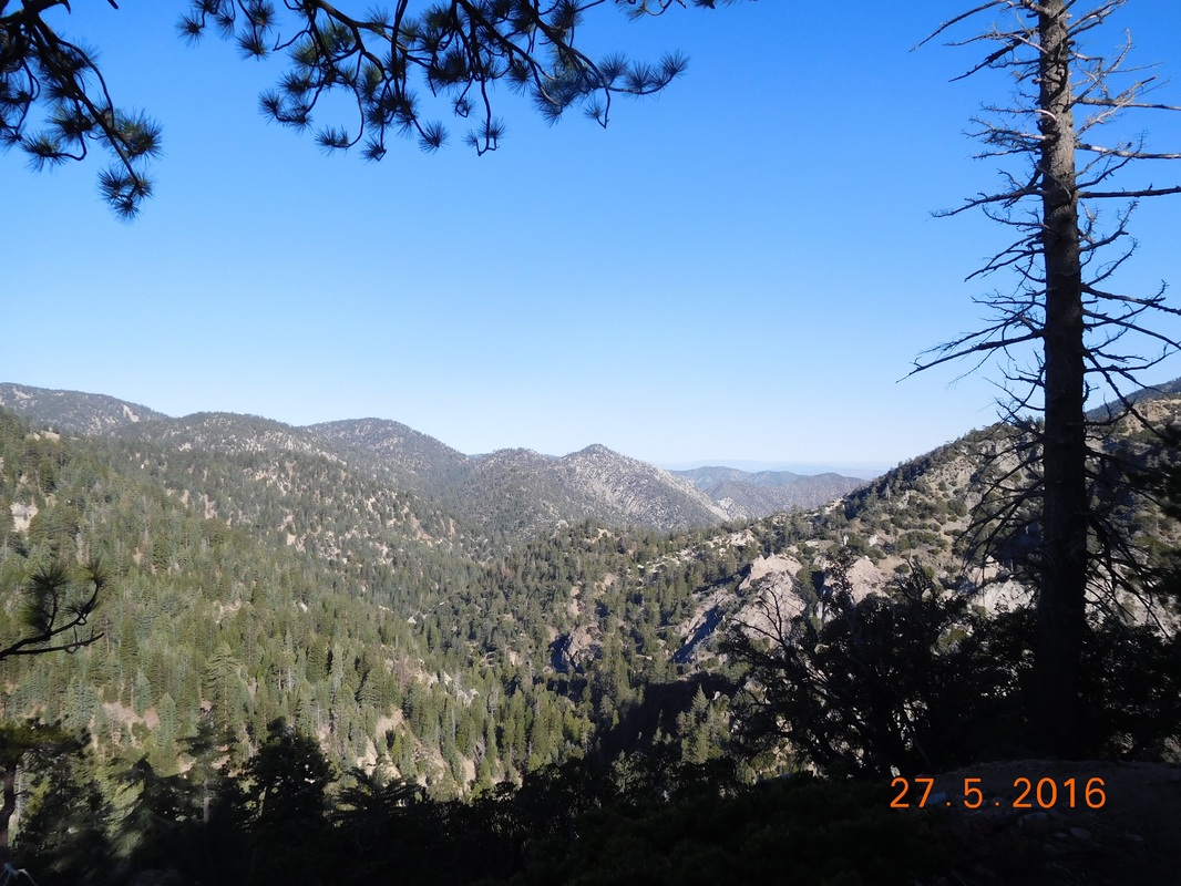
Let's get to the picnic area
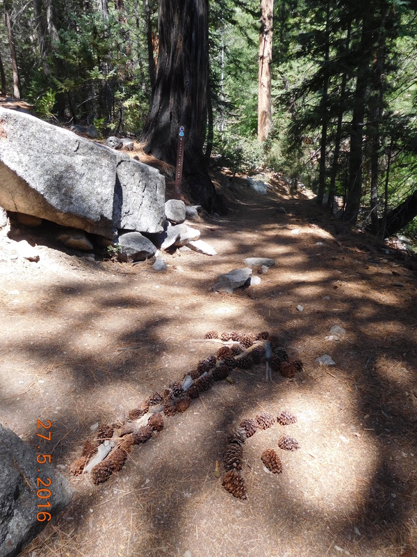
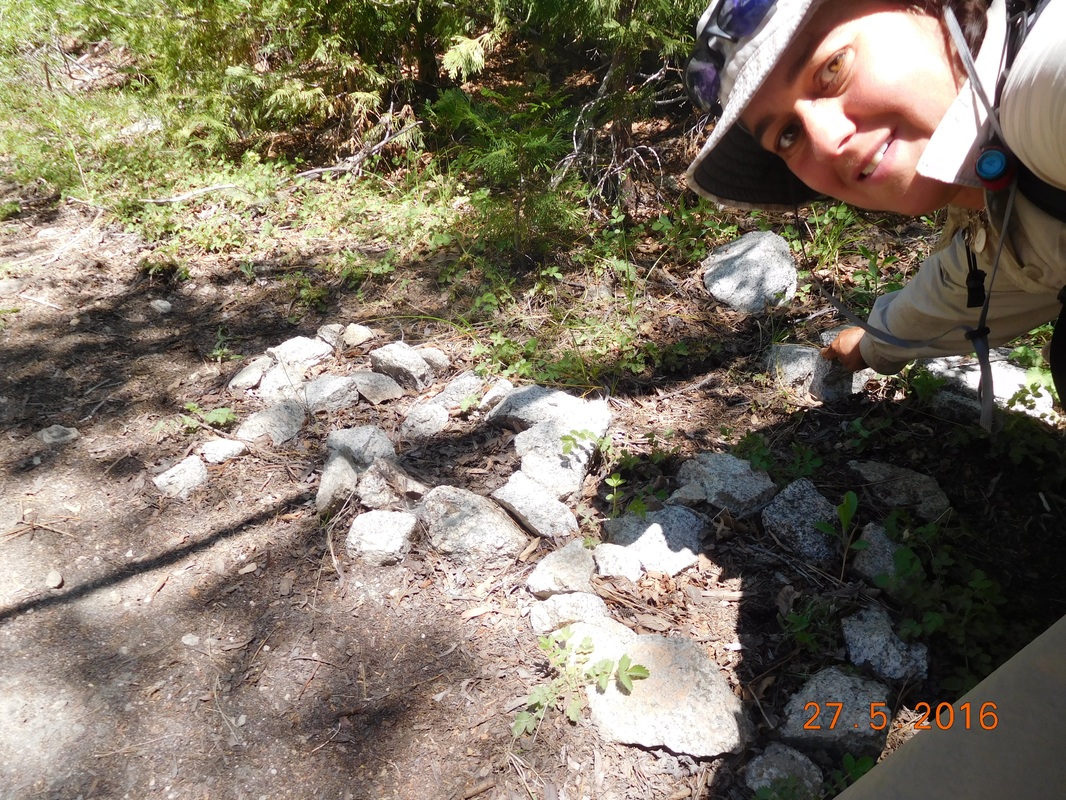
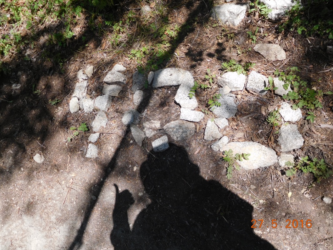
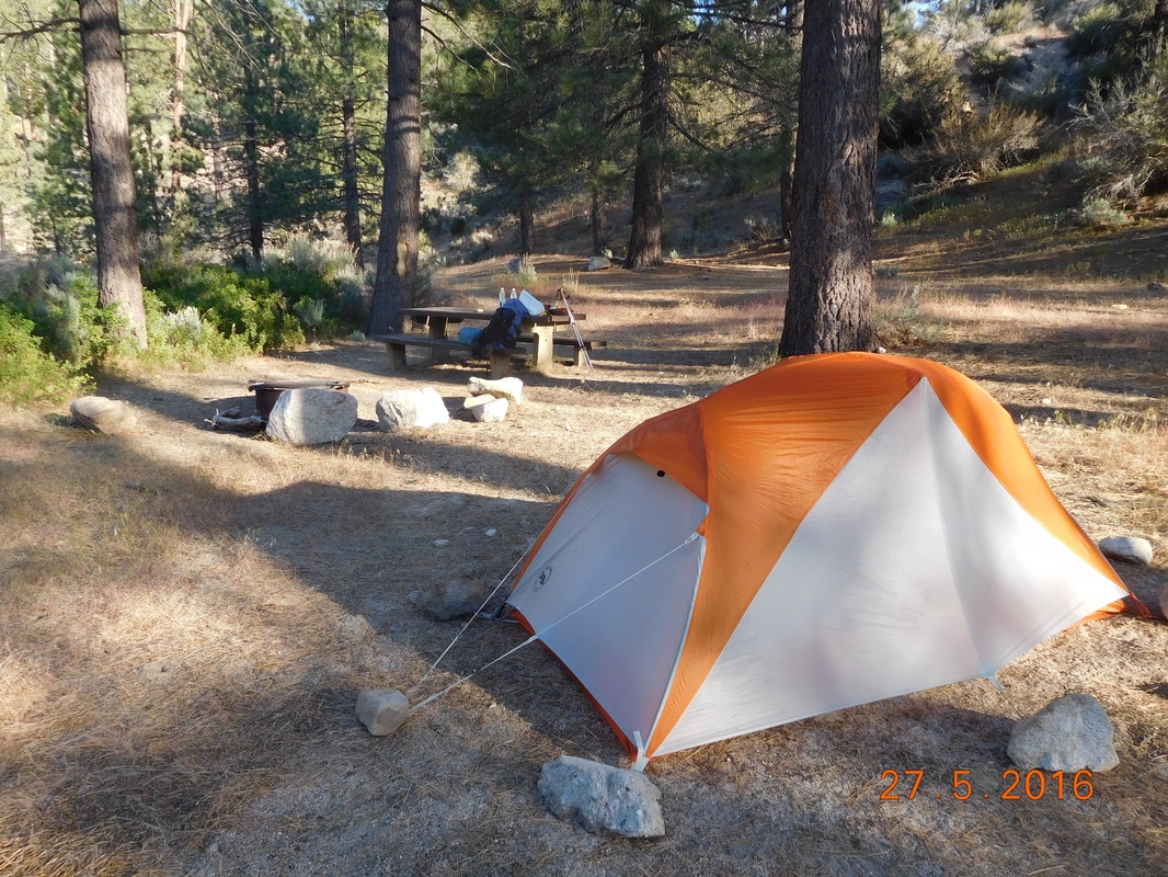
As I was leaving, I looked back at where I camped last night and thought I'd share. While hiking along the trail, if you see a circle of rocks as you see below, it is where someone pitched a tent. The tent was in the middle of the circle and the rocks are used to weigh down the stakes in case of wind gusts.
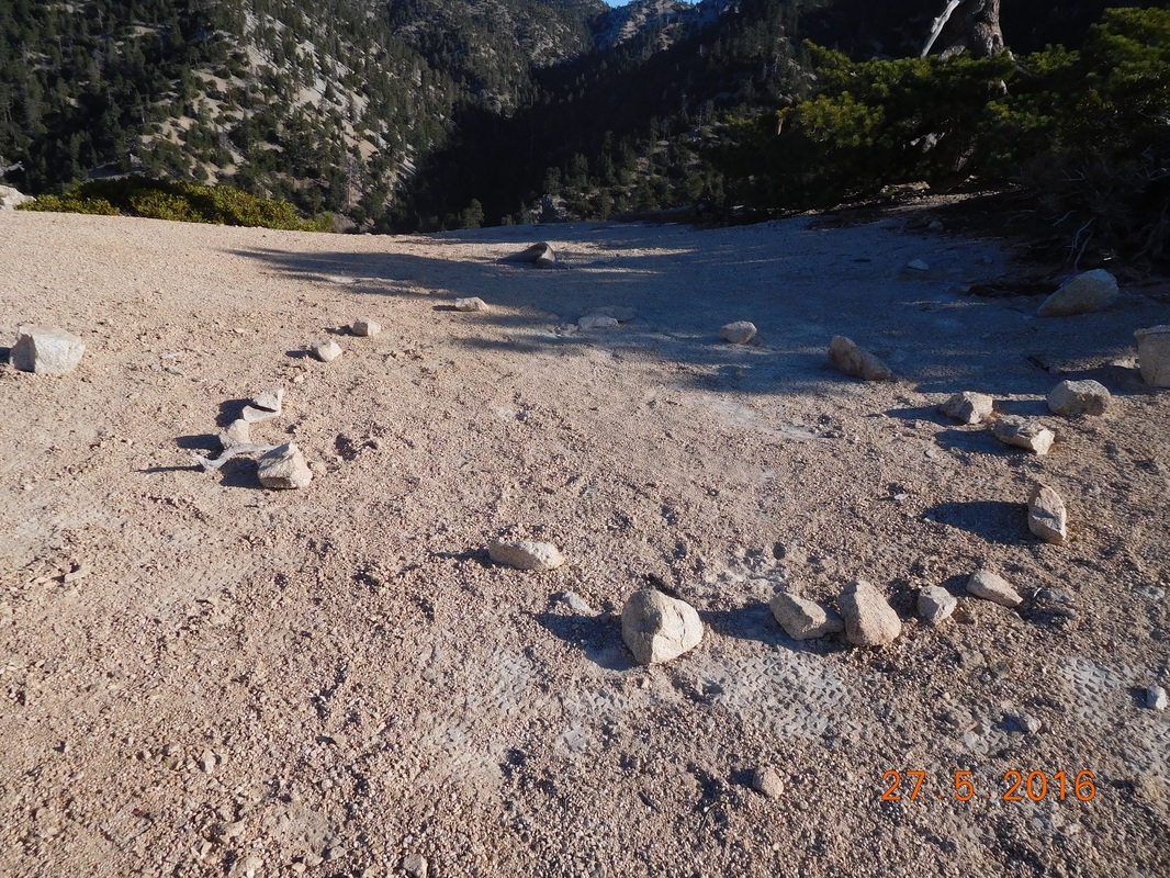
A tent was pitched here.
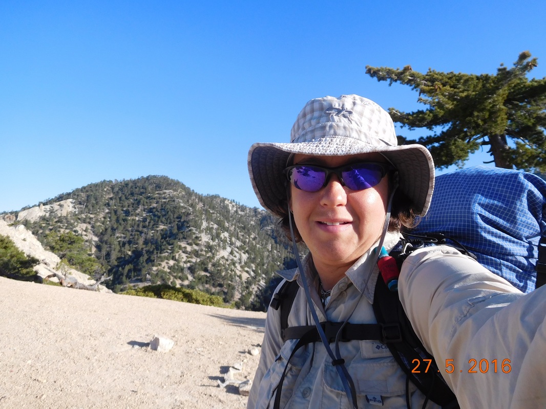
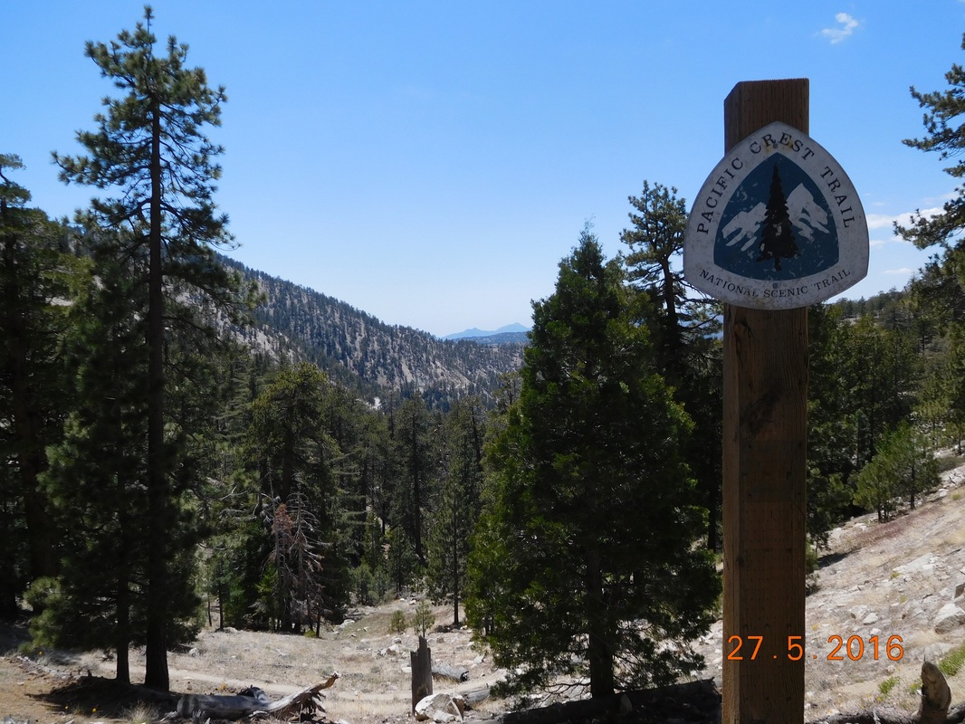
The day started with this incredible view. Can it get any better?!?
Great view to start the day
When I got to the picnic area there was this sign posted across the PCT.
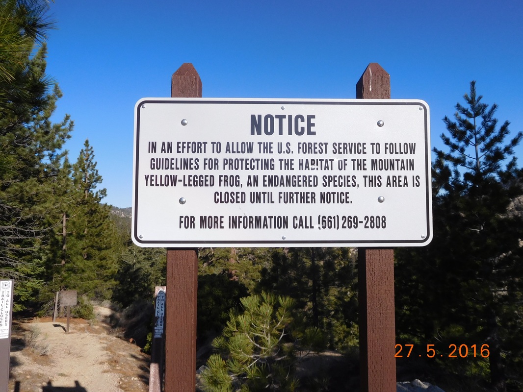
Endangered species closure of the PCT
I knew about this closure in advance. There is a short detour in place that requires a 2.63 mile road walk along Highway 2 and then hits the Burkhart Trail that leads back to the PCT. Overall it is 4.81 mile detour that skips 3.80 miles of the closed portion of the PCT. Not too bad considering the detour I made earlier in the hike required 35 miles of road walking plus 15 miles of trail.
Before hitting the detour, I hit the picnic area for outhouse use and breakfast. Soon after I arrived a group of 3 young men showed up and we started talking. A few minutes later a utility truck stopped on the road and asked if anyone wanted a ride up the road to avoid the road walk.. I said, "No thank you," since I want to keep continuous footsteps to Canada. Would you believe that all 3 guys agreed to it. Oh well...hike your own hike as they say.
Before hitting the detour, I hit the picnic area for outhouse use and breakfast. Soon after I arrived a group of 3 young men showed up and we started talking. A few minutes later a utility truck stopped on the road and asked if anyone wanted a ride up the road to avoid the road walk.. I said, "No thank you," since I want to keep continuous footsteps to Canada. Would you believe that all 3 guys agreed to it. Oh well...hike your own hike as they say.
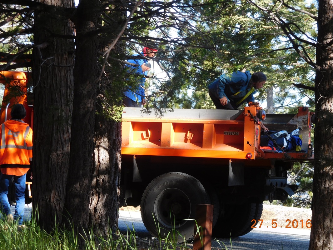
3 young guys taking the easy way.
To me, even better than taking a free ride, I had a picnic table to eat my Powerbar and Carnation Instant Breakfast on.
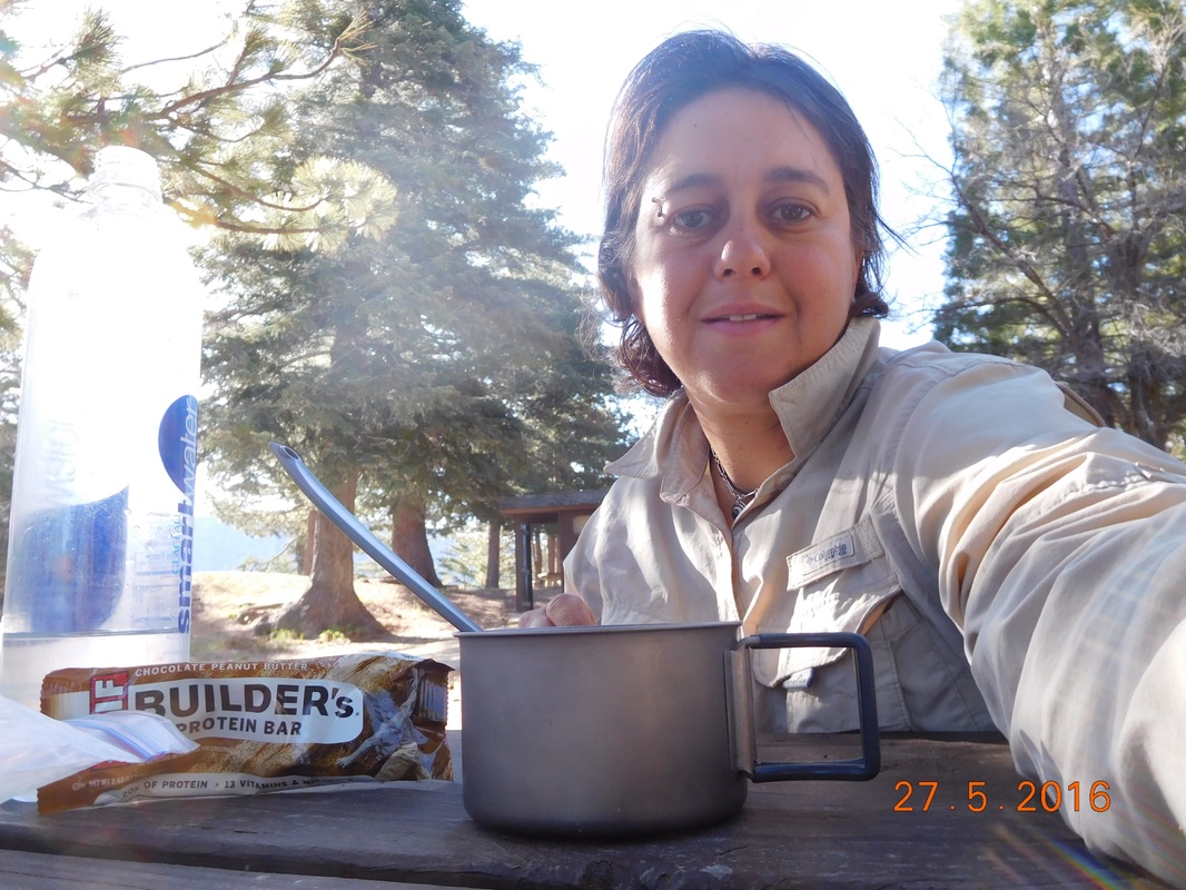
Breakfast on a table...life is good
At 8:39 AM I started the road walk.
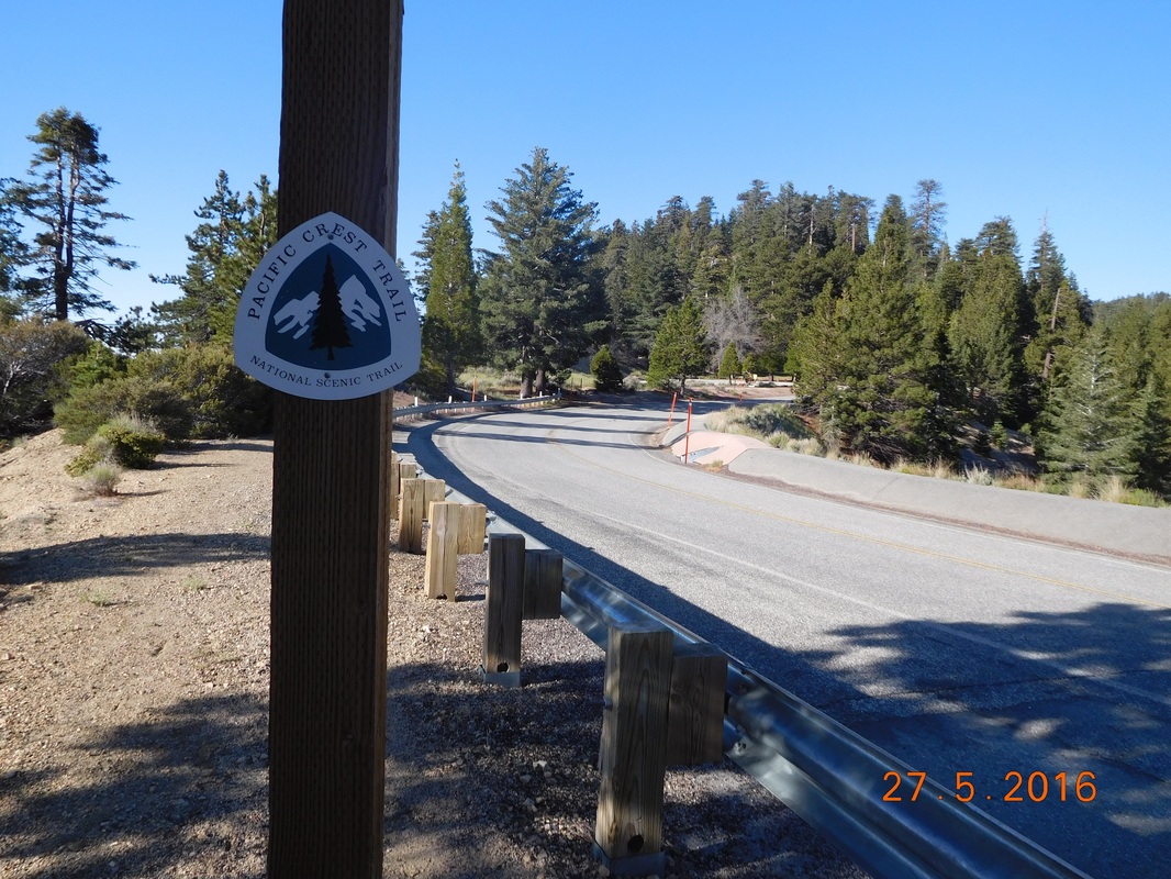
PCT sign of the day along Highway 2
The road walk wasn't too bad. To get to Burkhart Trail you have to walk through Buckhorn Campground where there was running water that didn't have to be filtered, so I loaded up with 5 liters of water (there isn't a reliable water source for 18 miles), and walked to the trailhead. I arrived at the trailhead at 10:15 AM and started the hike down into a canyon.
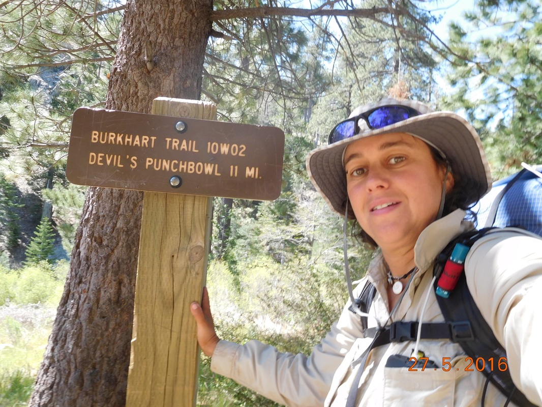
The start of Burkhart Trail
The trail continued down and wound up at a stream. It was so nice down there. I don't remember the last time the trail crossed a stream where everything was so bright and green.
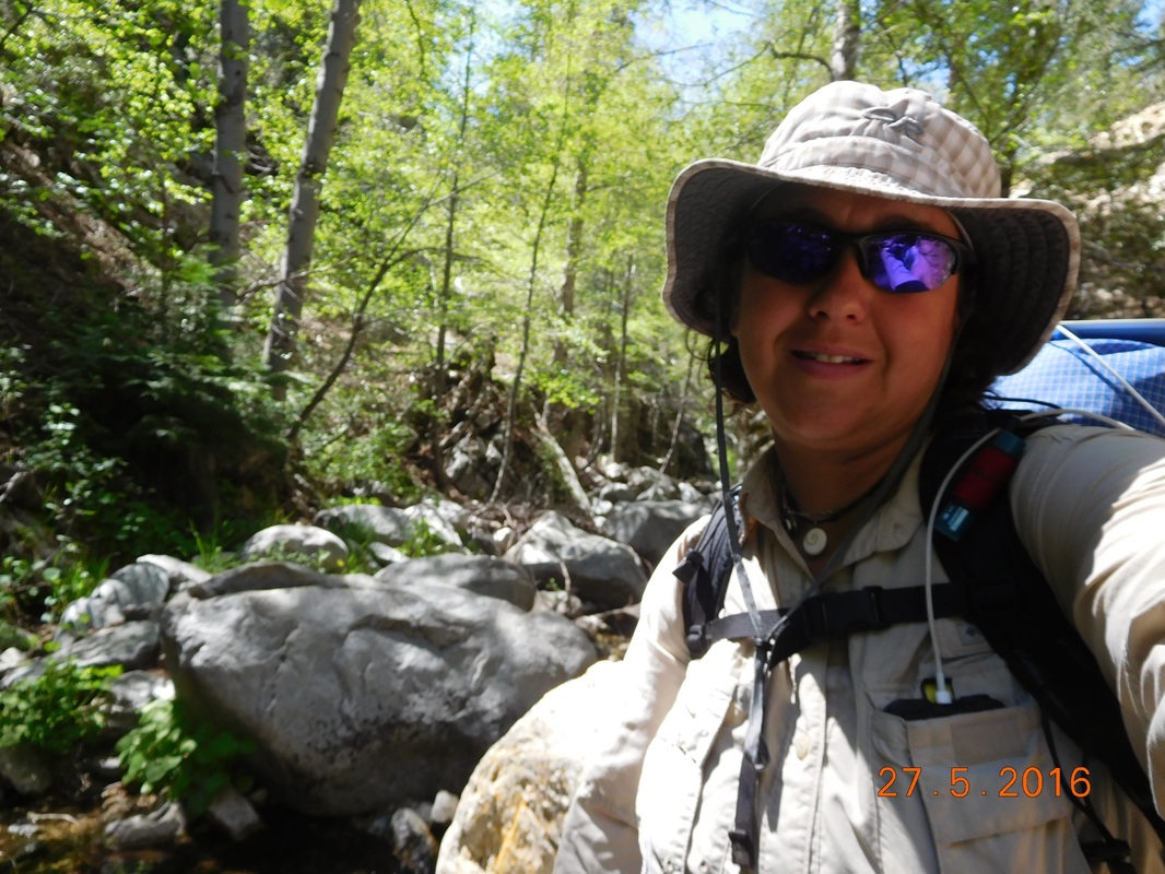
Self-portrait "Copper Creek"
The Burkhart trail ended at the PCT, but which way do you go? No need to question since there is an arrow and smiley face pointing the way.
Go this way
This part of the PCT was very difficult with 4 miles of steep climbing to get out of the canyon, but at least the scenery was beautiful.
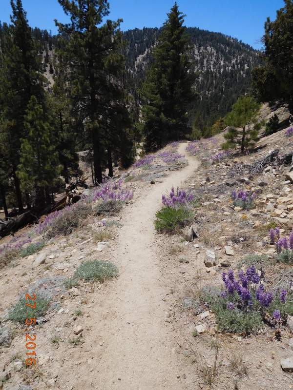
Purple wildflowers lining the trail
I hiked up from the bottom of that canyon
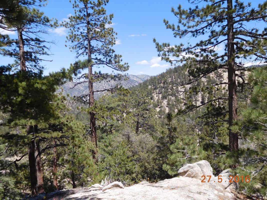
Finally after all that climbing, the trail crossed Highway 2...again...and then the hike became a nice meandering one with no real steep ups or downs.
PCT sign of the day 2 - the trail is nice from here.
I even had time for a pleasant self-portrait.
Self-portrait "The climbing is done for a while"
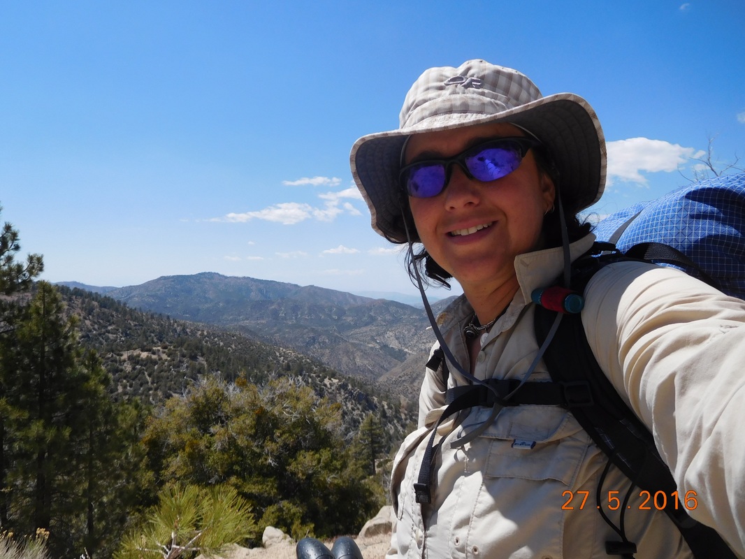
Today another milestone was hit. I made it to mile 400!!!
Proof I'm standing at PCT mile 400
Unfortunately my photographer Brad is not with me, so I struggled getting a picture of myself with the 400. This is as good as I could do.
Mile 400
I really didn't like how that picture came out because it is hard to read the 400, so I tried a different technique and took a picture of my shadow with a thumbs-up and the 400.
Shadow 400 mile thumbs-up
After wasting 5 minutes to get the perfect shot, I hiked on and arrived at Camp Glenwood where I met up with 4 other hikers who I had seen a couple of days ago at the base of Mount Baden-Powell. They seemed cool, so I decided to try to hike with them. But first, I saw this cool sign that gives that mileages to Canada and Mexico. I love signs that give you this information.
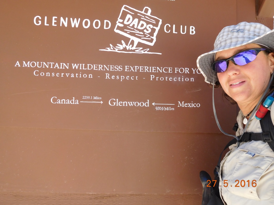
2,259.1 miles to Canada
I kept up a bit and then fell behind and then they stopped for a break so I caught up again. The issue is that I have been off the trail for 3 weeks loosing conditioning and all these other people have been continuously hiking and are in great shape. Plus, the oldest person in this group is around 30.
Falling behind.
Oh...this part of the trail is lined with live poodle dog bushes. These ones smell pretty bad. you can actually smell them before you see them. Luckily there were all easy to avoid since they were all off the trail
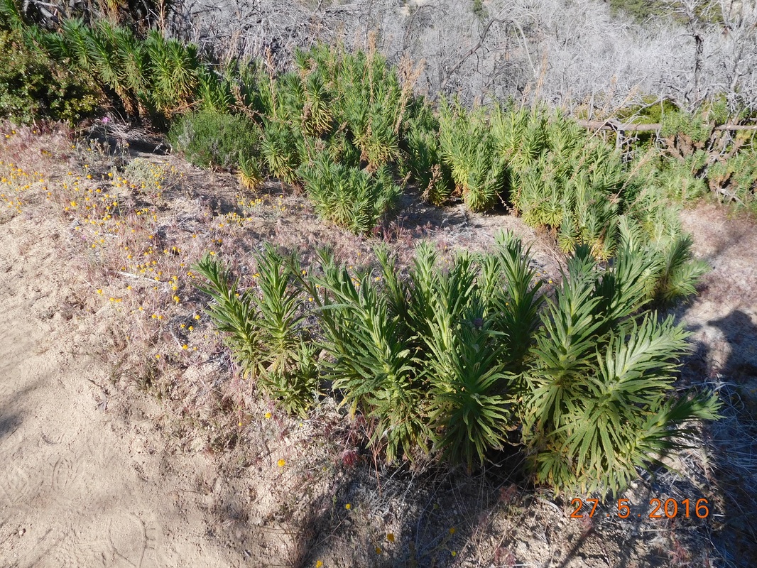
Lots of poodle dog bush
Before I knew it, I had hiked almost 2.5 miles with these people. I knew that there was a campground that Brad stayed at just 3.5 more miles ahead. The past few hours the trail has been fairly easy, so I figured I could make it.
I continued hiking with them, and with 1 mile left to the campground, I was loosing steam. Then, when I finally arrived at my turnoff, I noticed the group stopped and waited to say goodbye. So cool of them.
I was so tired when I got to Sulphur Spring Campground that I didn't notice the time, but it was somewhere between 5:30 and 6:00 PM. Today I hiked for 10 hours and covered 17.18 miles plus an extra mile on the detour. That is 18.18 miles! Wow. I am tired ad plan to sleep in as long as I can...my feet and legs really need the rest.
Great spot with picnic table included.
 RSS Feed
