Tim & Gerri's Wild Ride
Email & Facebook Gerri:
  • Home
  • Worldwide Travel
    • A Bit of Asia 2025 >
      • A Bit of Asia 2025 Blog Summary
    • Everest 2025 >
      • 2025 Everest Packing List
      • Everest Blog Summary
    • 2024 Europe Tour >
      • 2024 Europe Tour Packing List
      • Europe 2024 Blog Summary
    • Asia 2023 >
      • Asia 2022 Packing List
      • Asia 2023 Blog Summary
    • Eastern Europe 2022 >
      • Eastern Europe 2022 Blog Summary
      • Eastern Europe 2022 Packing List
    • Narrowboat Holiday 2022 >
      • Narrowboat 2022 Blog
      • Narrowboat 2022 Packing List
    • Ireland & UK 2019 >
      • Ireland & UK Itineray
      • Ireland & UK Blog Summary
      • Ireland & UK Packing List
    • France 2018 >
      • France Itinerary
      • Blog Summary
    • European Tour 2017 >
      • European Vacation Blog
      • Blog Summary
    • Southeast Asia 2014-15 >
      • Southeast Asia Blog
      • Packing List
      • Blog Summary
    • Afghanistan 2011-12
  • United States Travel
    • Great Lakes Sail 2020 >
      • Great Lakes Sail 2020 Blog
      • Blog Summary
    • Trans-America Bicycle Ride >
      • Blog Summary
      • Our Team
      • Equipment
      • Breweries Along Route
    • Pacific Crest Trail >
      • Pacific Crest Trail 2016 >
        • What is the PCT? - 2016
        • Why Hike the PCT? - 2016
        • Gear - 2016
        • Itinerary - 2016
        • PCT Blog Summary - 2016
        • Where are we now? - 2016
      • Pacific Crest Trail 2014 >
        • What is the PCT?
        • Why Hike the PCT?
        • Gear
        • Food
        • Itinerary
        • Blog Summary
        • Where are we now?
    • Motorcycle Ride 2014 >
      • Motorcycle Blog
  • Brewery Visits
    • 2025 Breweries
    • 2024 Breweries
    • 2023 Breweries
    • 2022 Breweries
    • 2021 Breweries
    • 2020 Breweries
    • 2019 Breweries
    • 2018 Breweries
    • 2017 Breweries
    • 2016 Breweries
    • 2015 Breweries
    • 2014 Breweries
    • 2013 Breweries
    • 2012 Breweries
    • 2011 Breweries
    • 2010 Breweries
    • 2009 Breweries
    • 2008 Breweries
    • 2007 Breweries
    • 2006 Breweries
    • 2005 Breweries
    • 2004 Breweries
    • 2003 Breweries
    • 2002 Breweries

Day 71 (29 June) - Mile 782.53 - 788.47 + 7.45 miles

6/29/2016

1 Comment


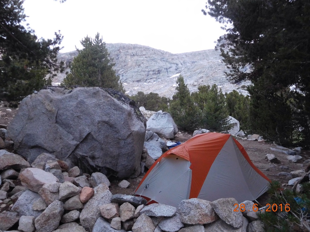
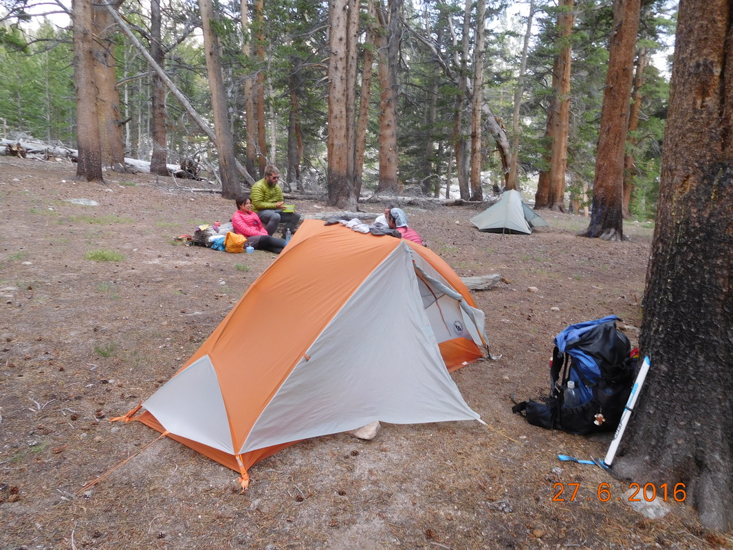
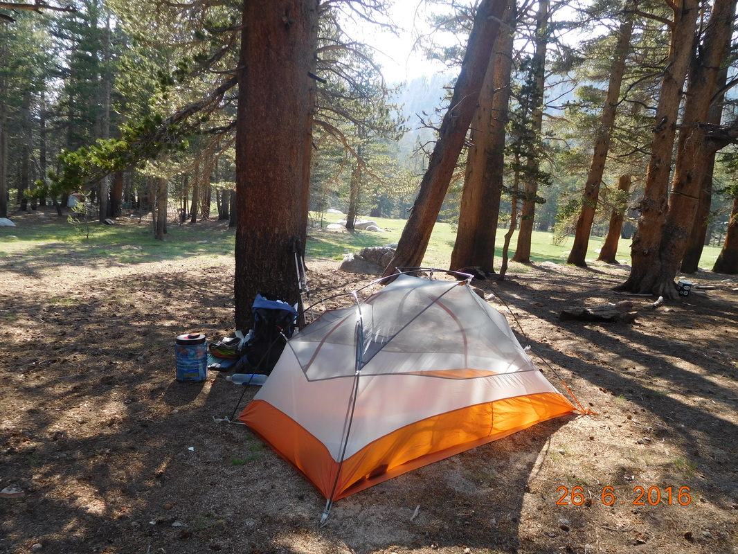
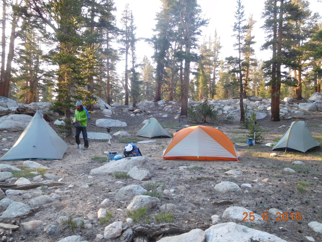
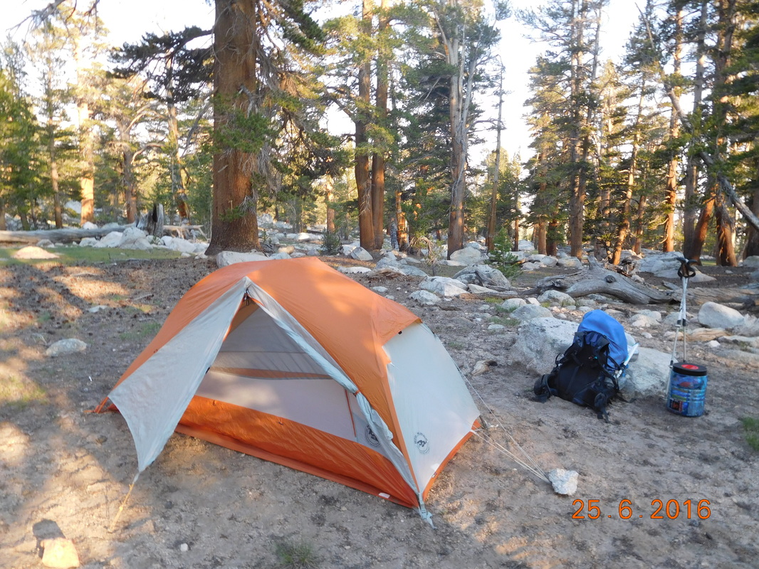
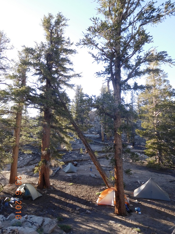
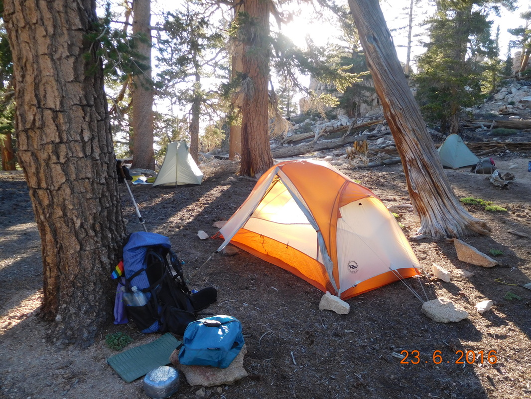
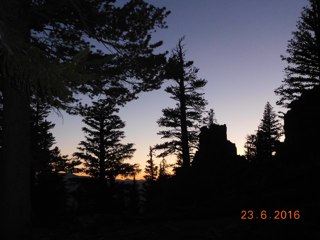
Campsite at Mile 782.53 to Dow Villa Hotel, Lone Pine, California

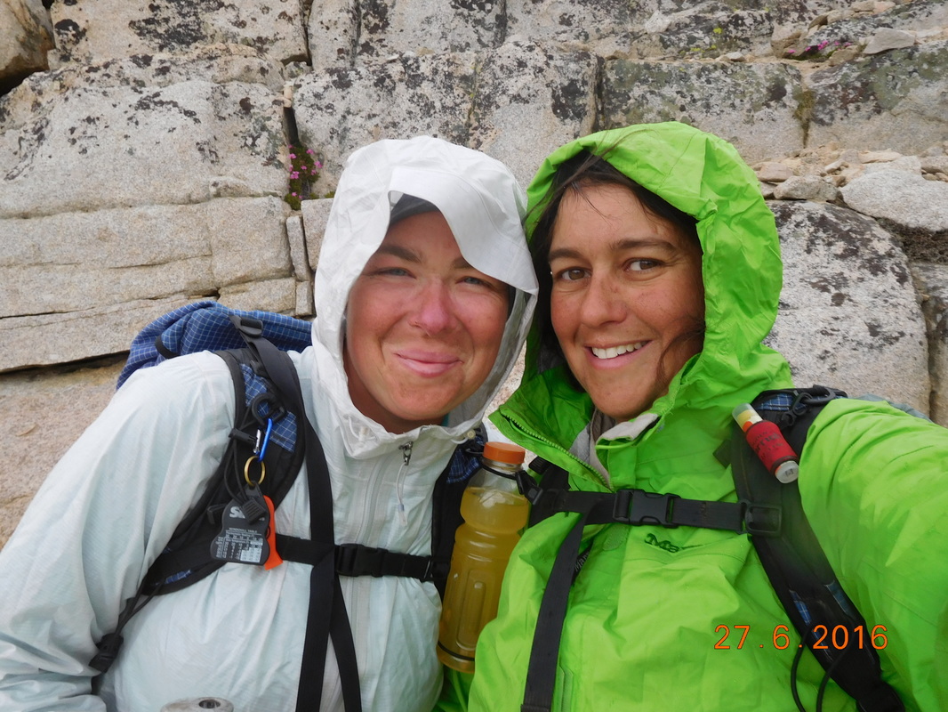
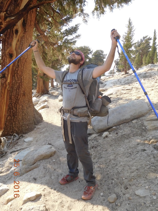
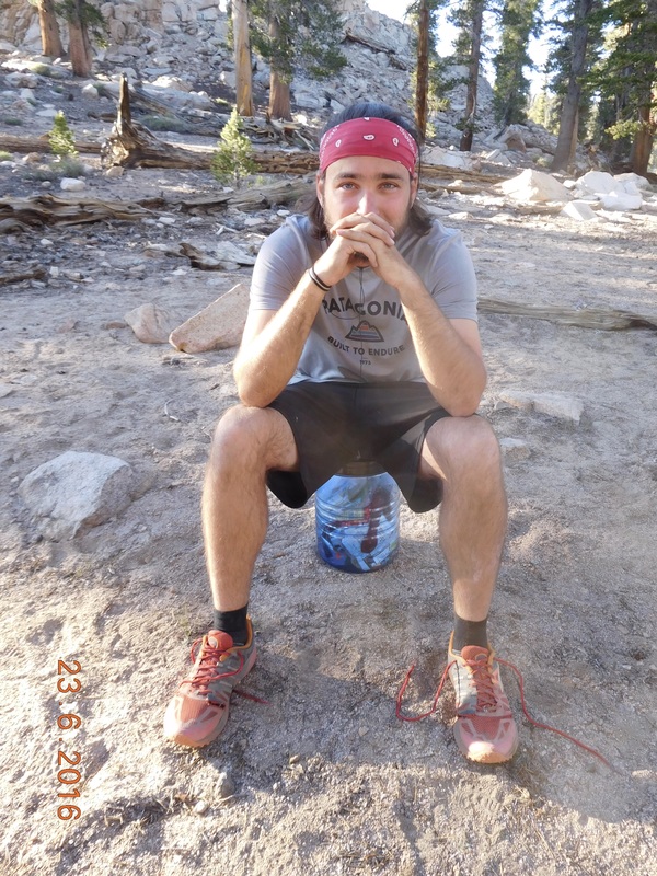
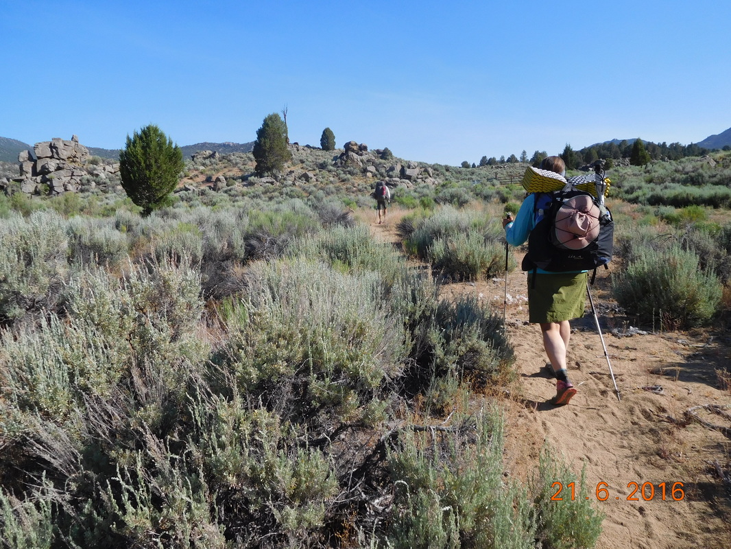
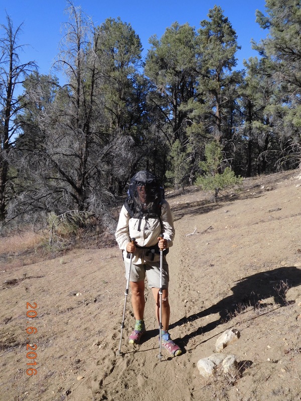
Wow…I really slept well last night.  It is no surprise since we had an enormous hiking day yesterday.  I woke at 6:30 AM.  It was great being able to sleep in an extra 30 minutes today.  After breaking camp and eating breakfast we were ready to hike just after 8:00 AM.
Picture
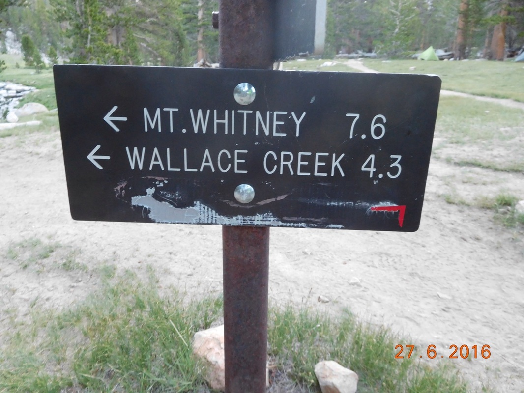
Let’s get going to Lone Pine.
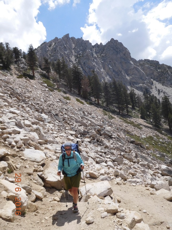
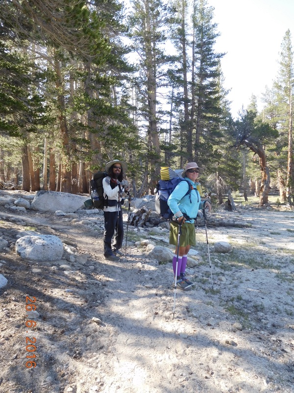
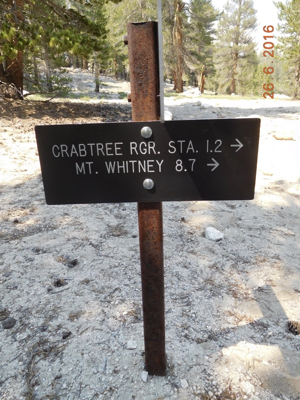
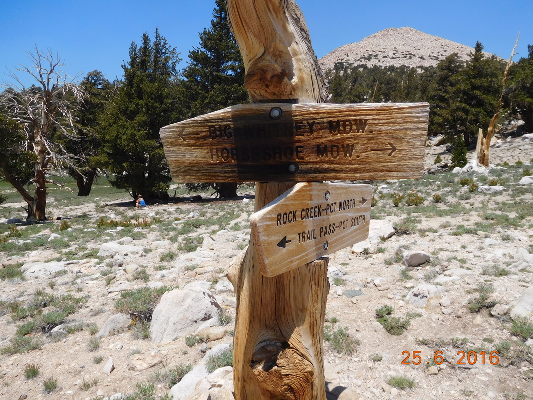
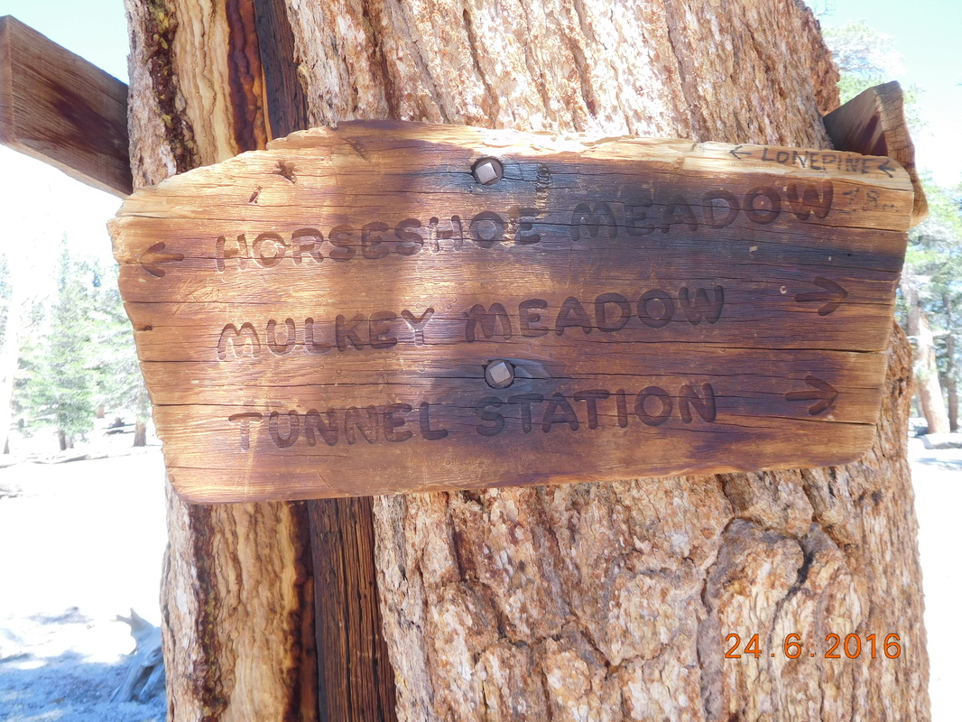
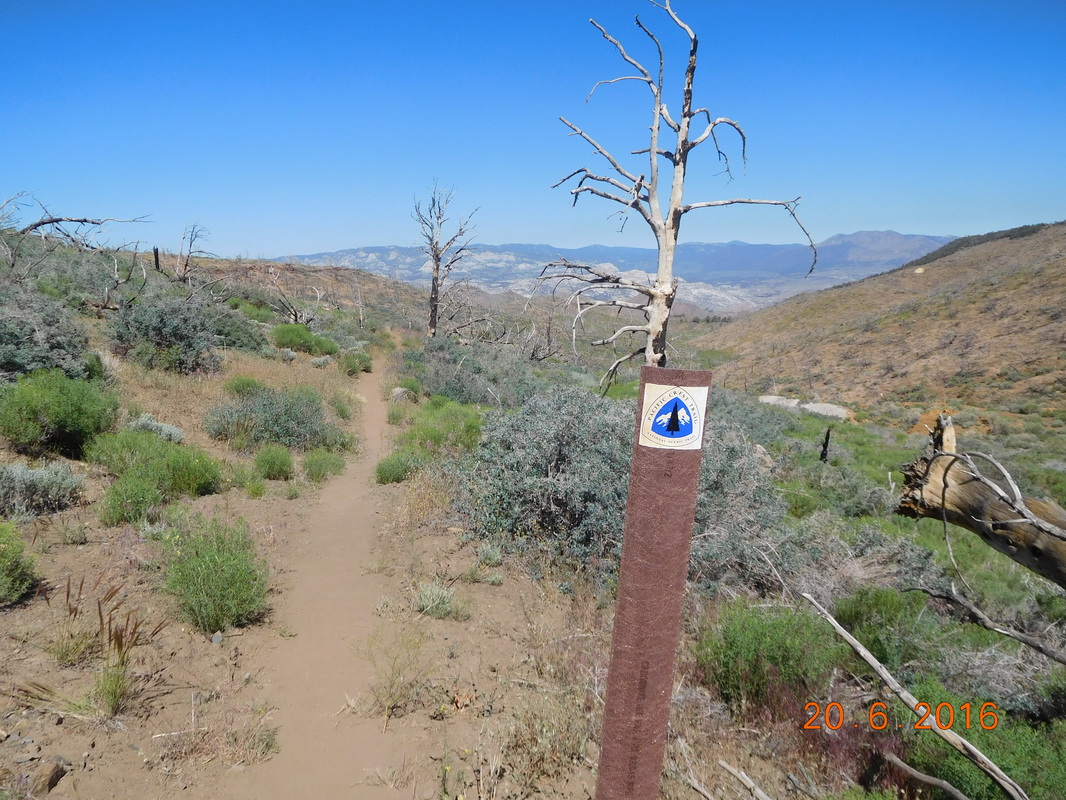
We gave ourselves an extra 30 minutes sleep time today because we thought it was going to be an easier hike than the last 2 days. We have just over 13 miles to do with the first 5 miles all downhill. We then have a pretty good uphill that lasts about 1.5 miles.  Then we will hit a side trail that goes up and over to the city of Lone Pine, California.  Even though we know we have to go over a pass to get to Lone Pine, we don’t think it will be too bad because it is a very popular trail for both day and thru-hikers.  A popular trail can’t be that bad…right?!?

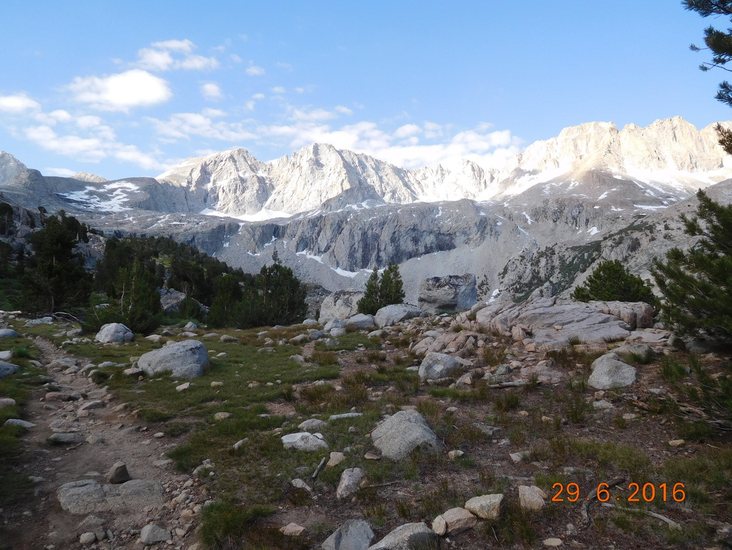
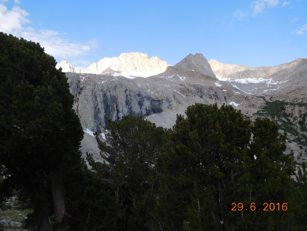
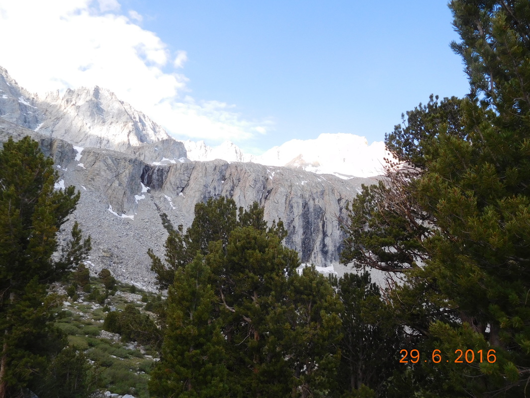
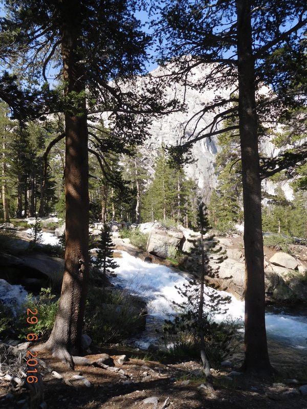
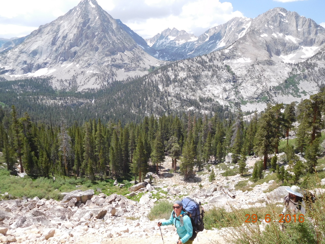
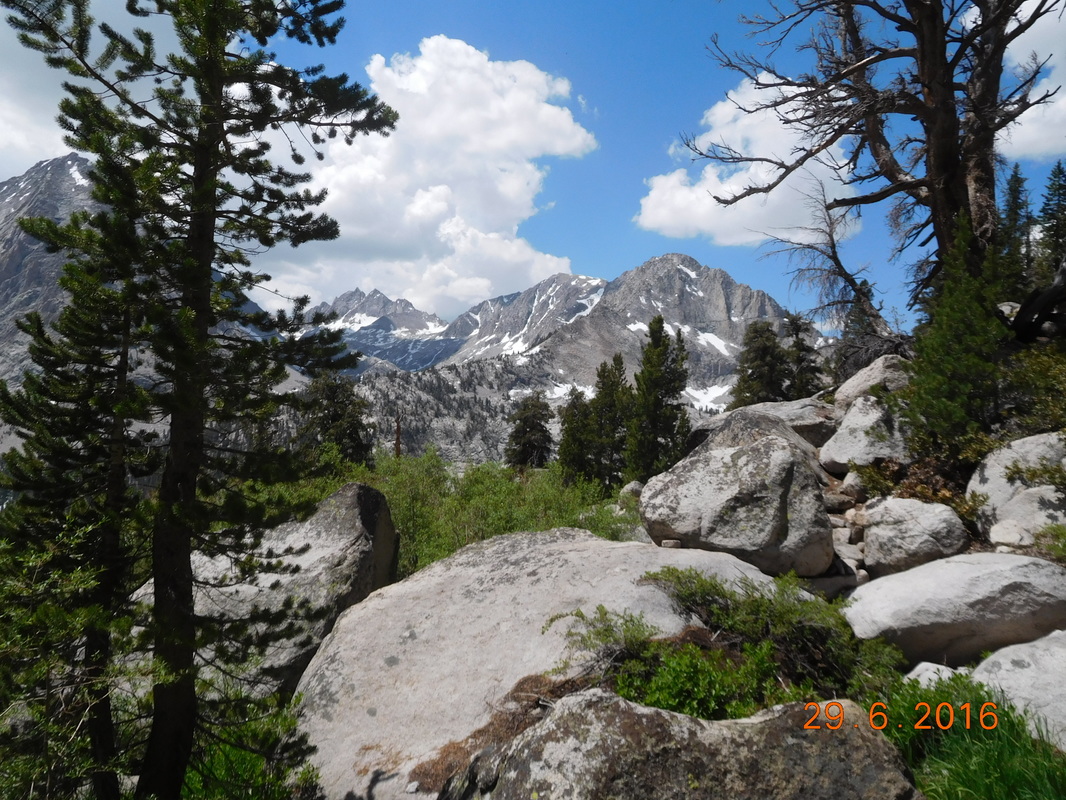
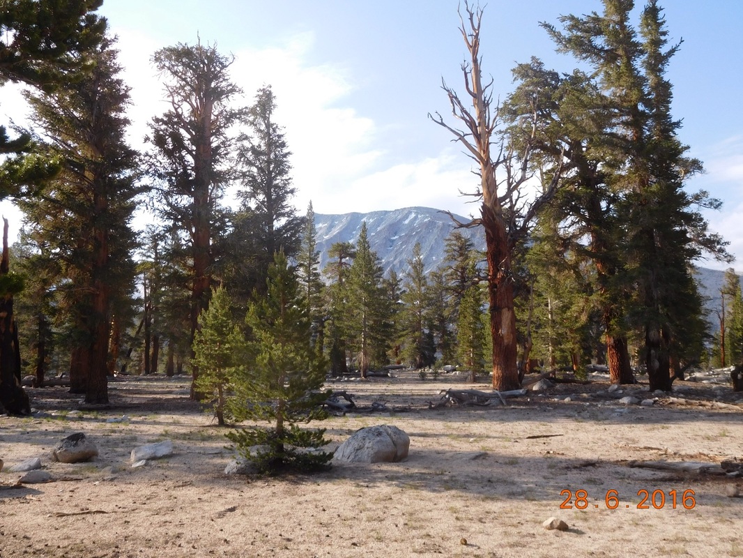
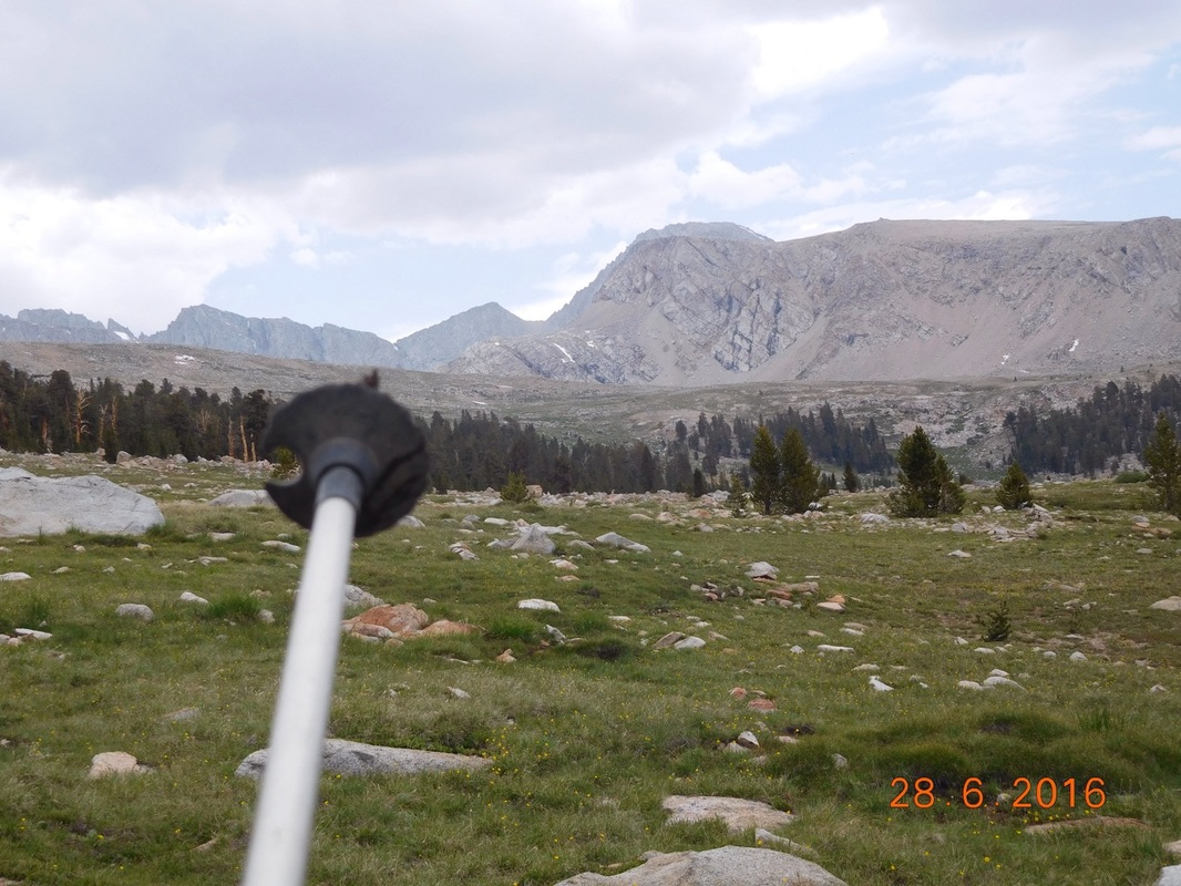
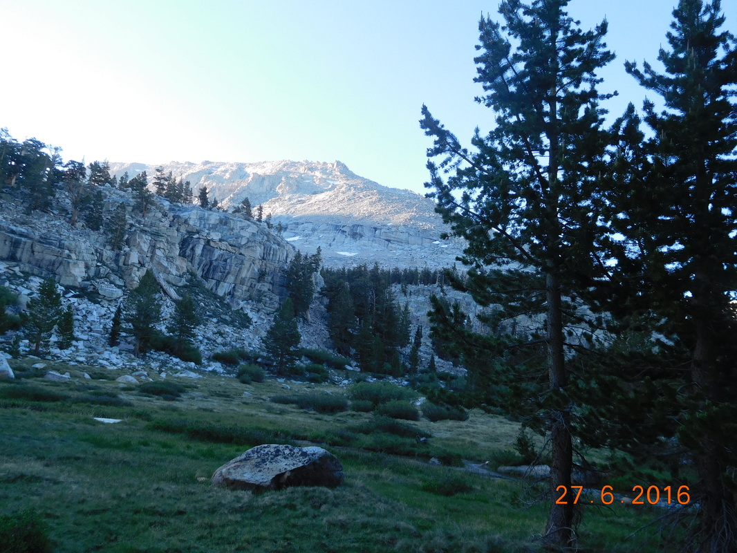
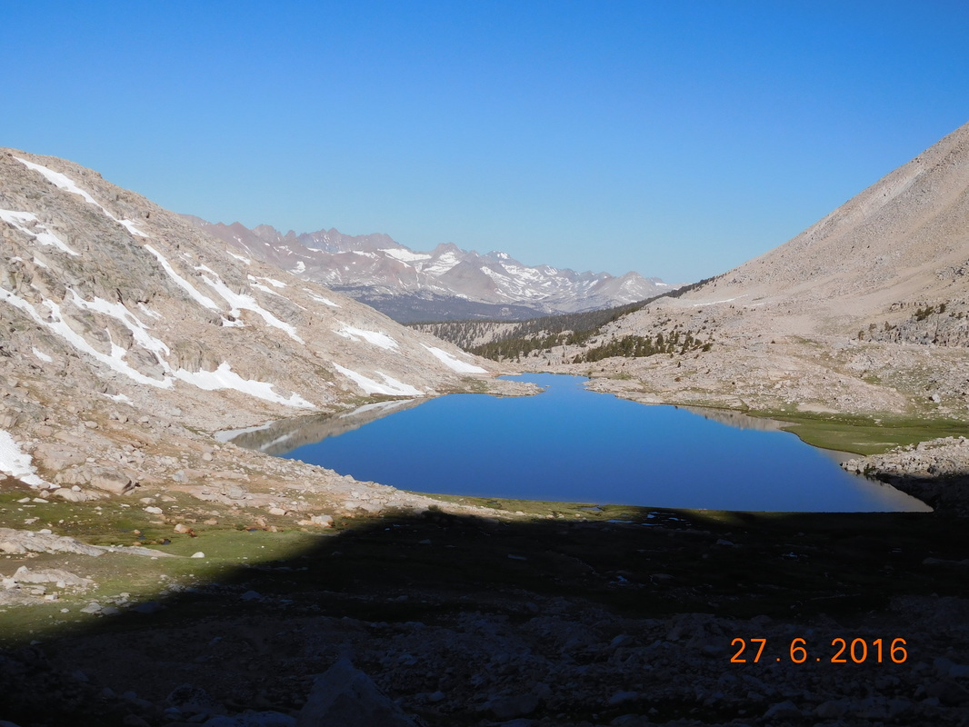
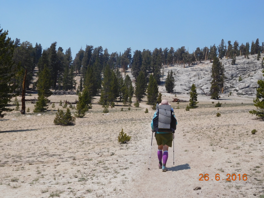
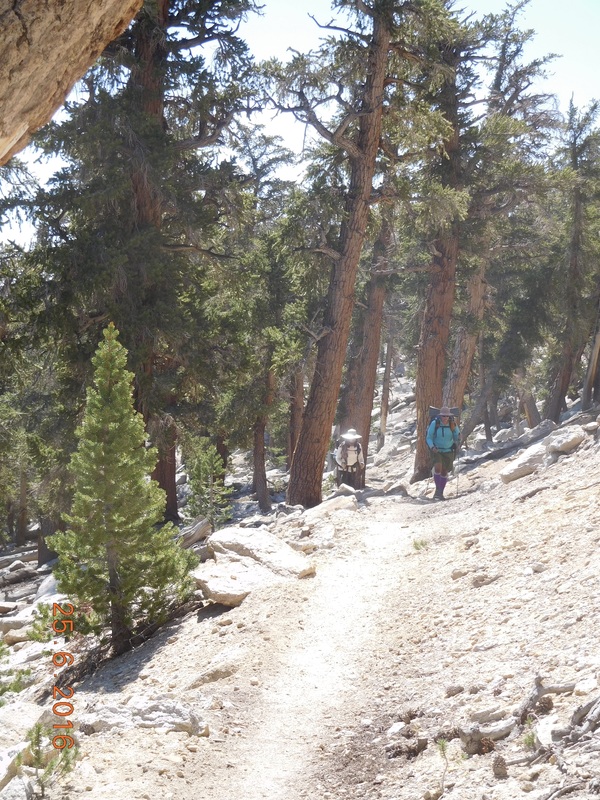
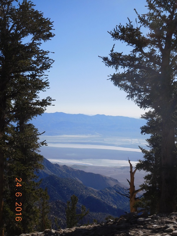
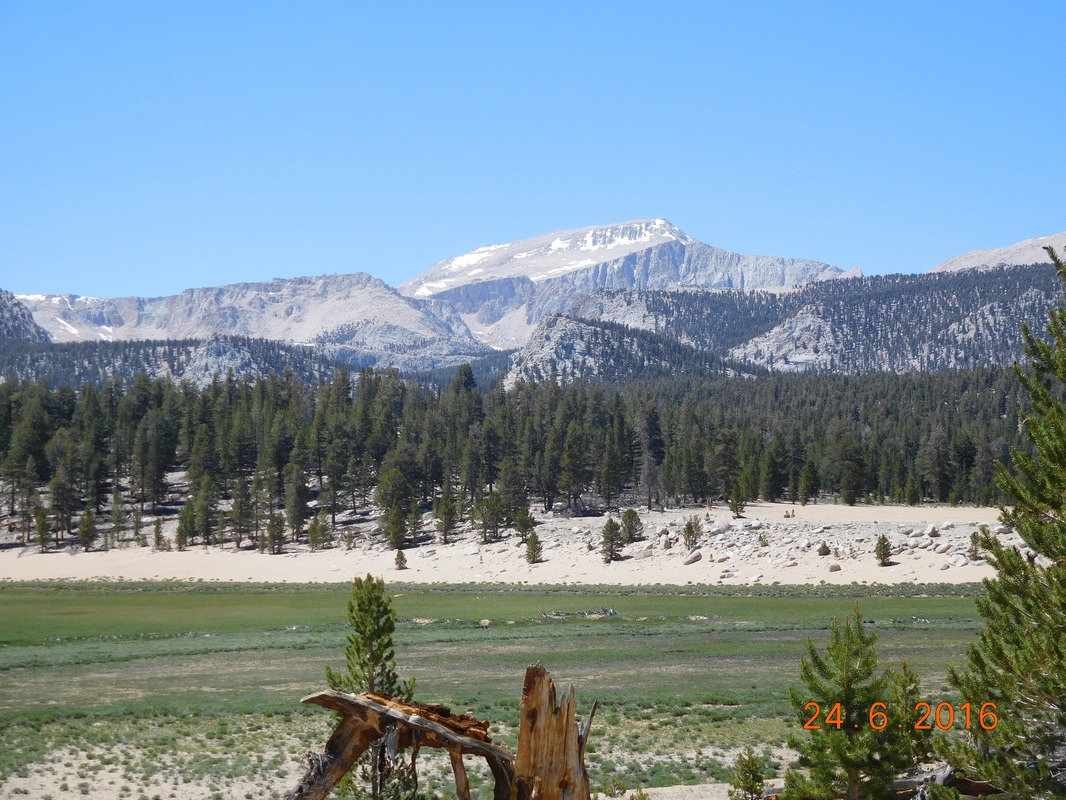
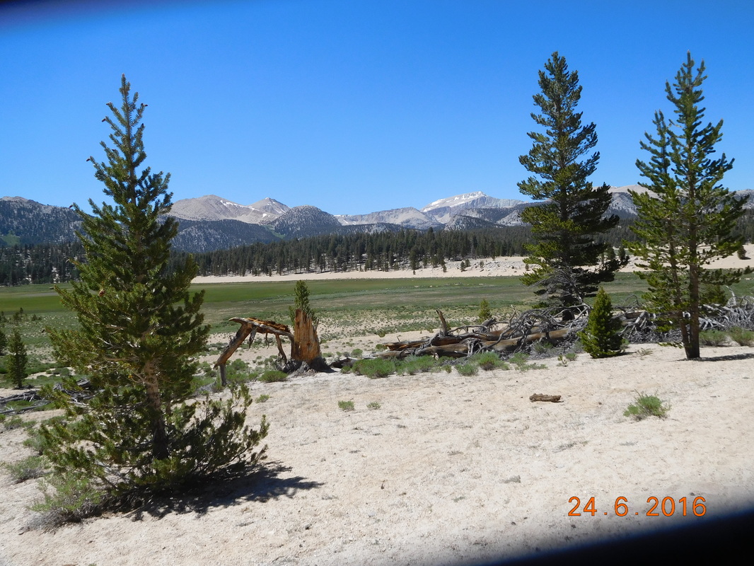
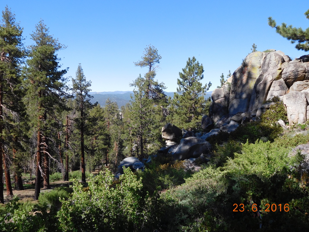
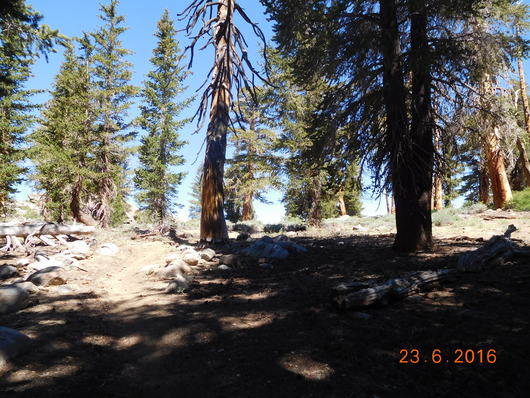
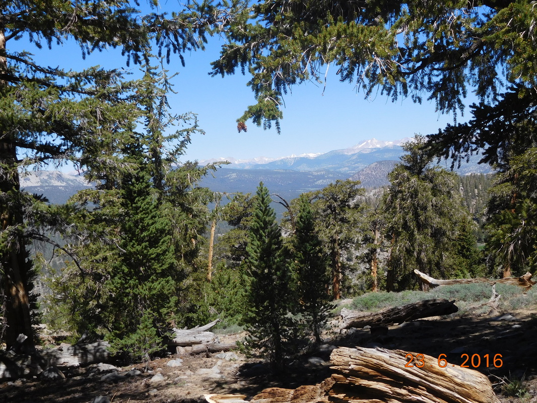
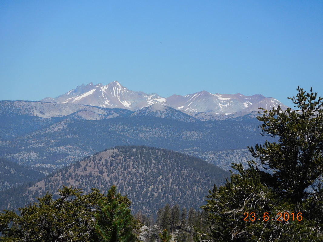
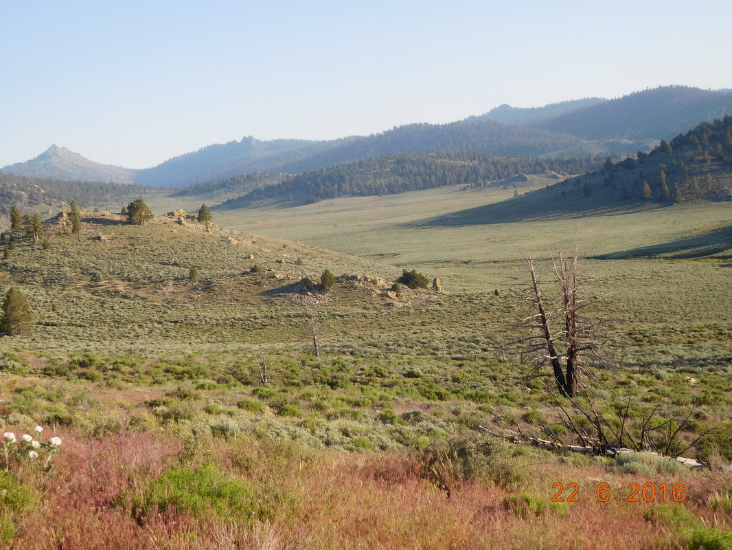
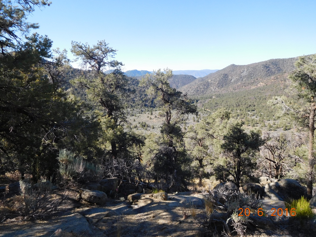
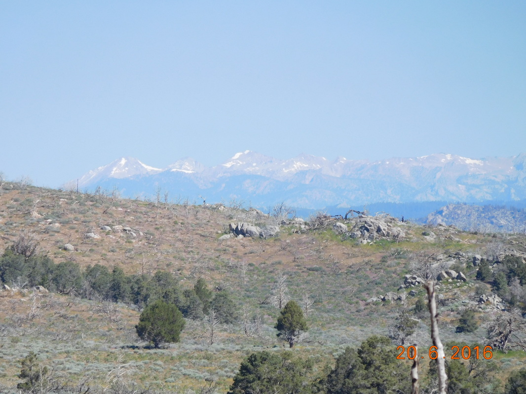
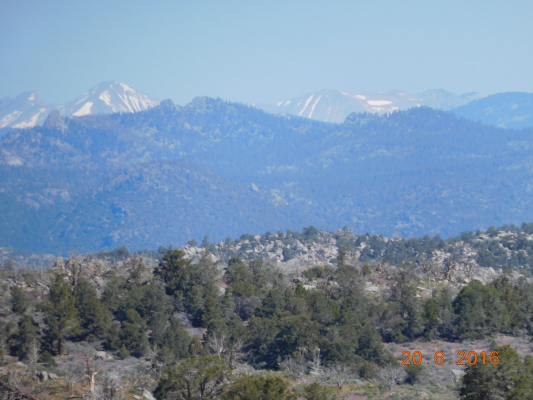
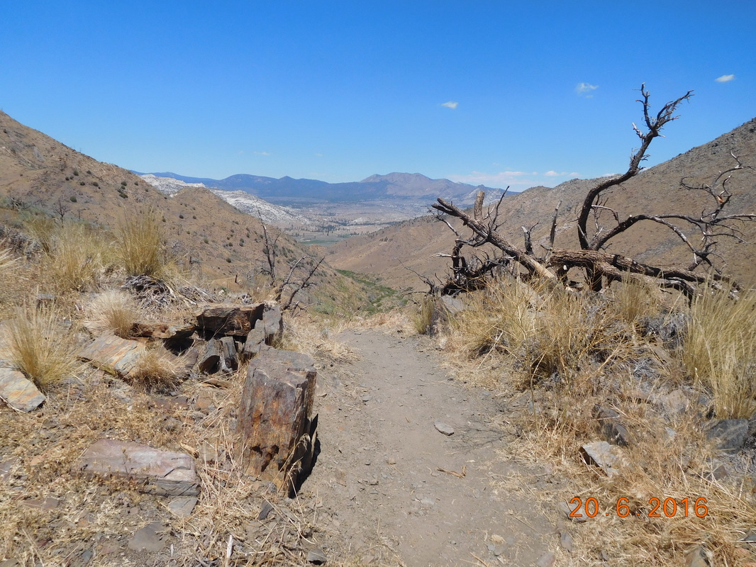
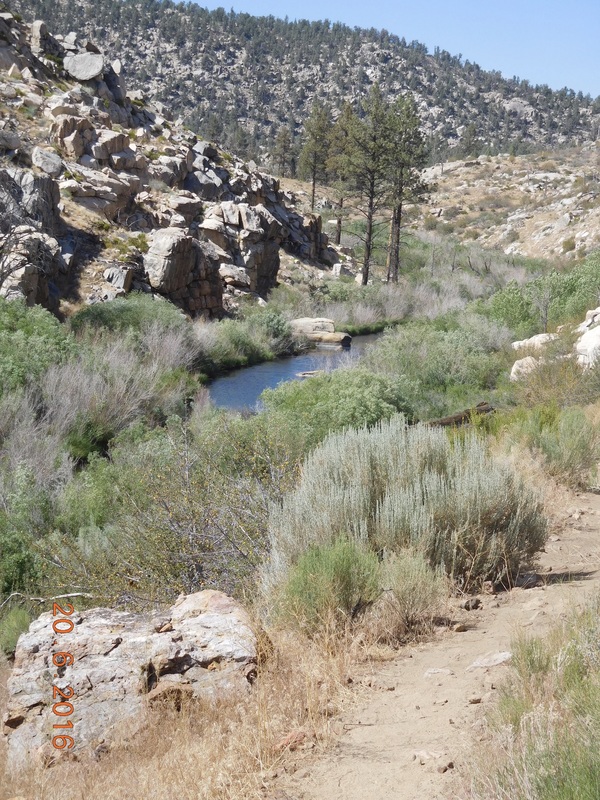
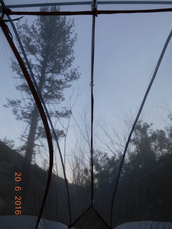
Before that, first thing’s first…check out our amazing views during this morning’s hike:
Picture
Picture
Picture
Picture
Picture
Picture
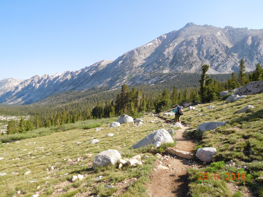
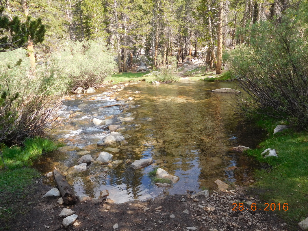
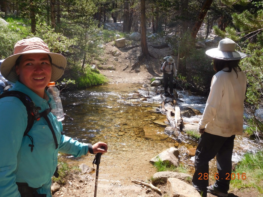
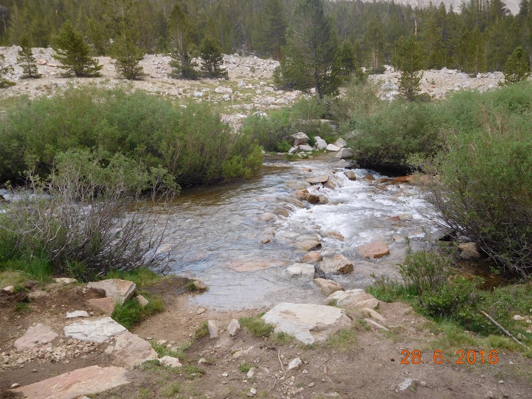
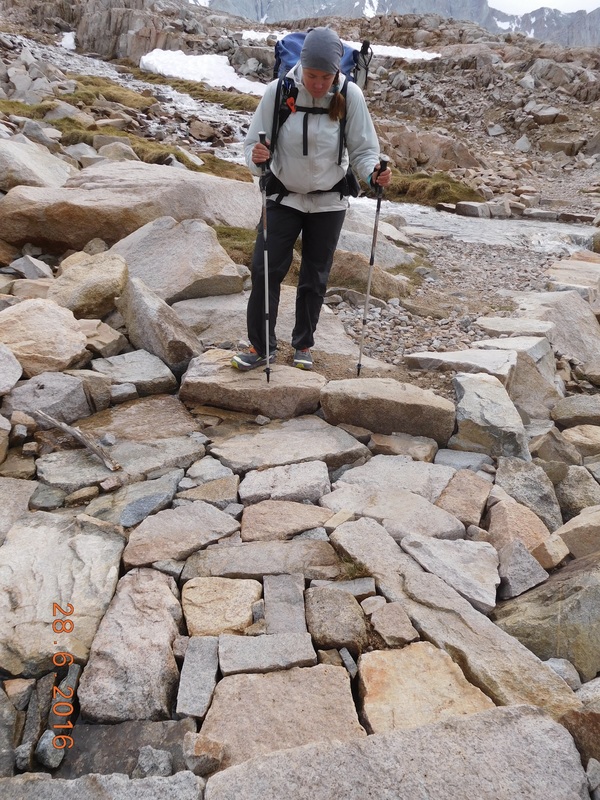
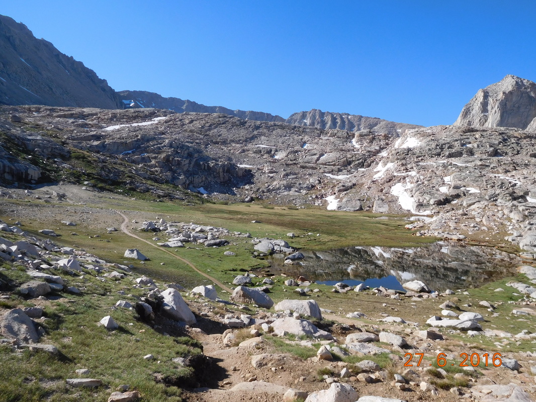
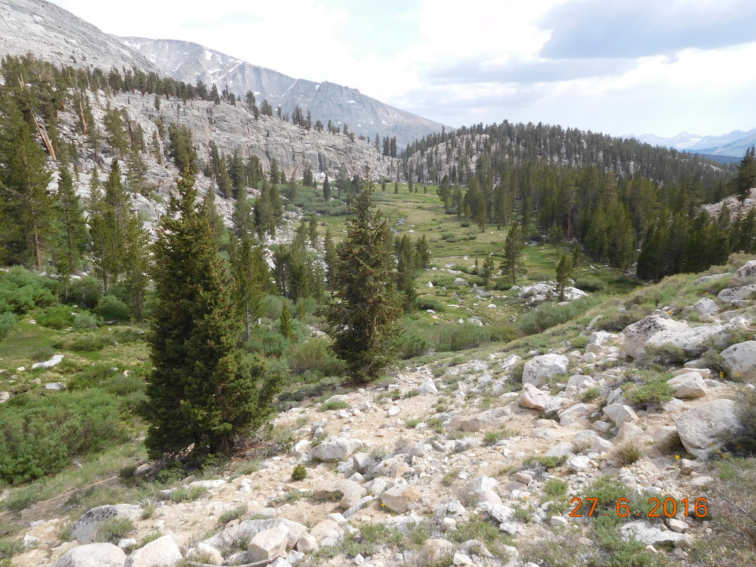
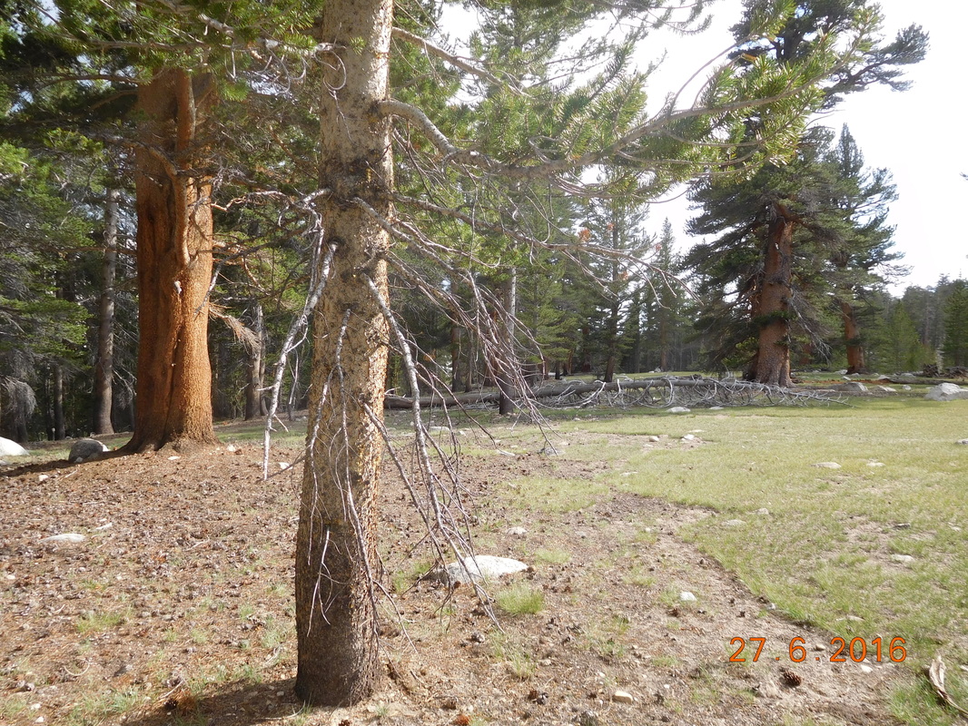
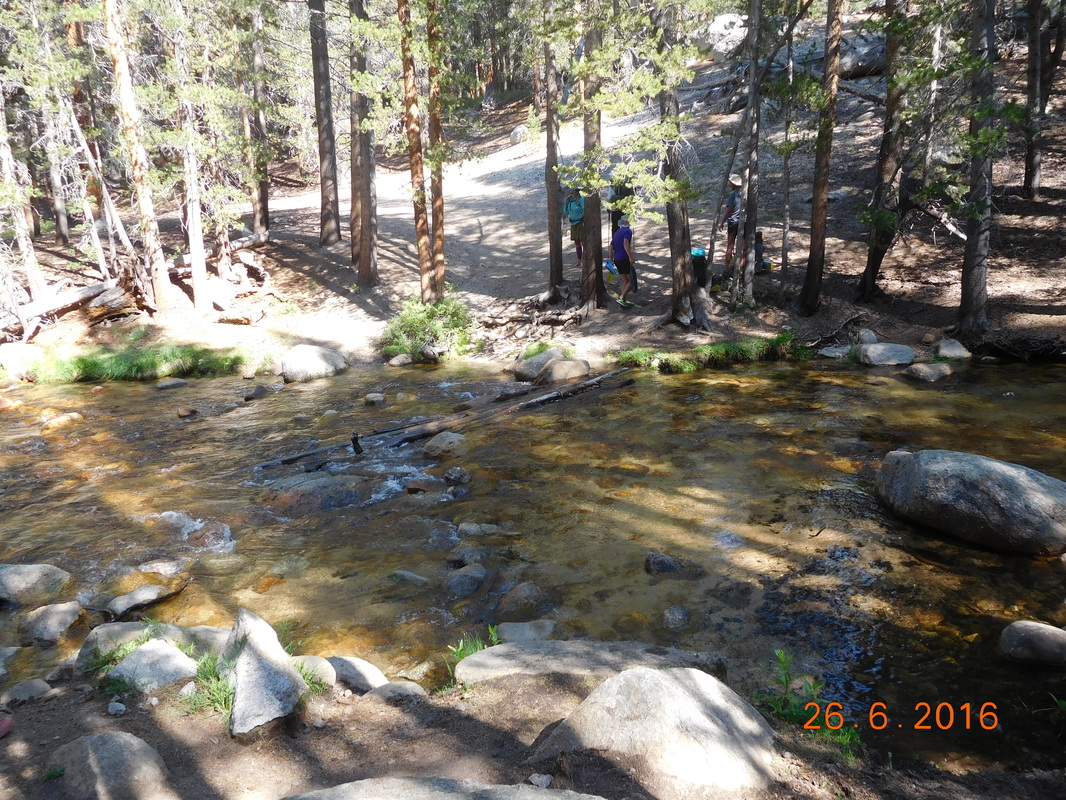
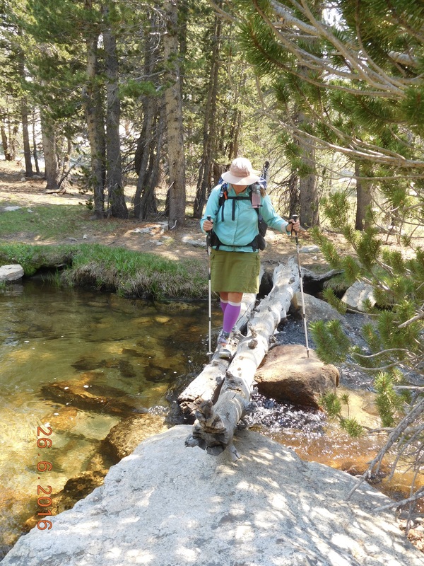
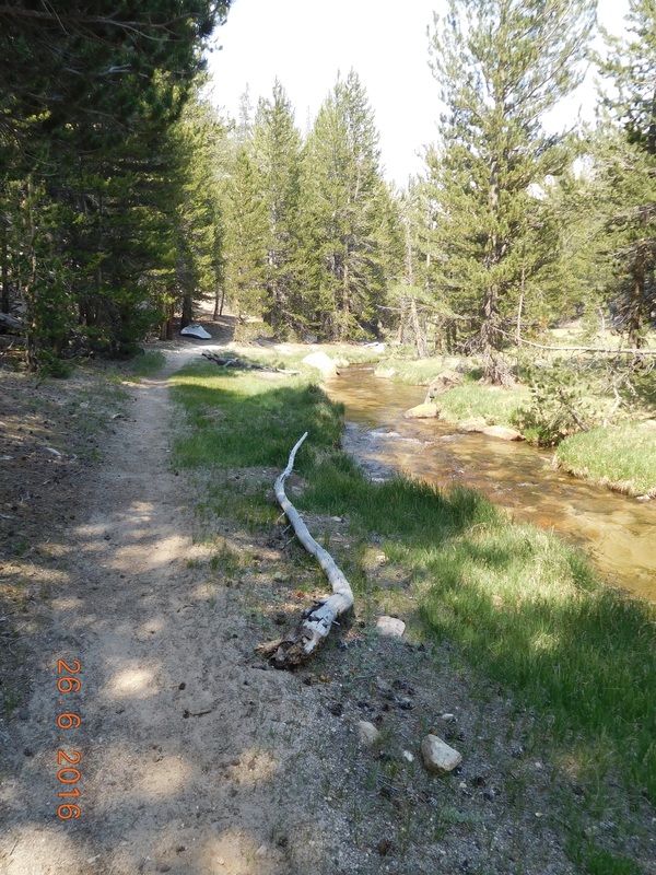
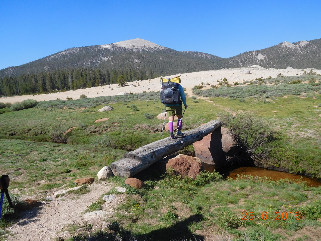
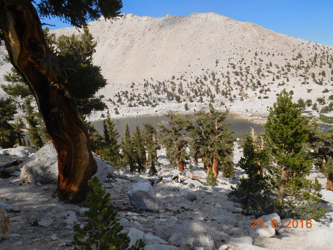
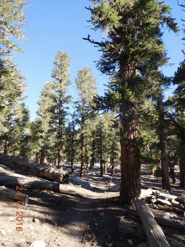
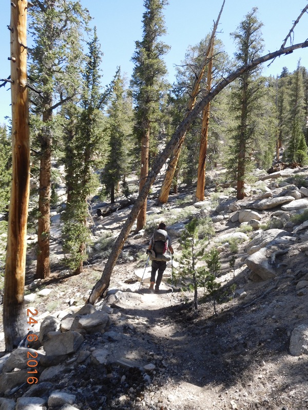
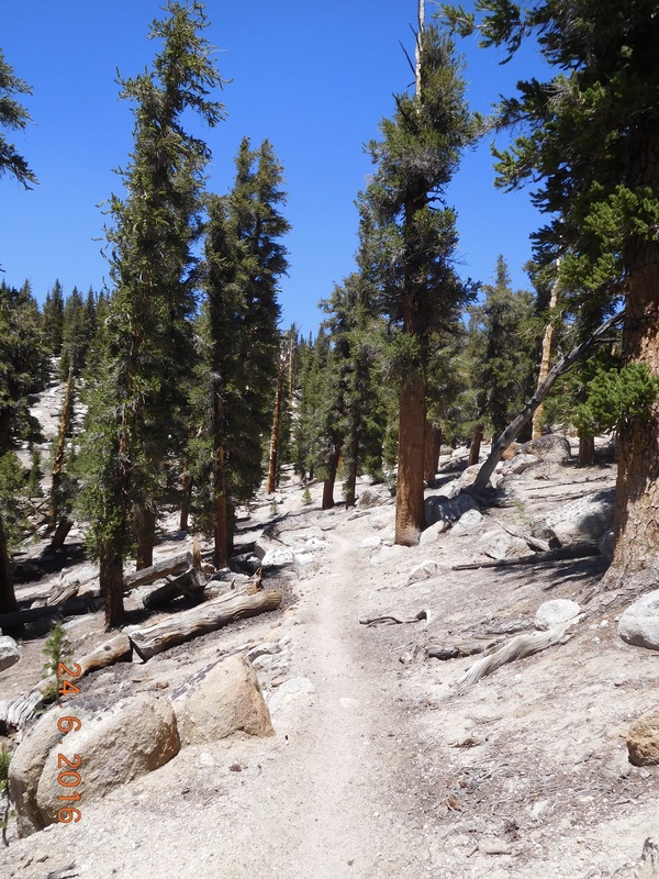
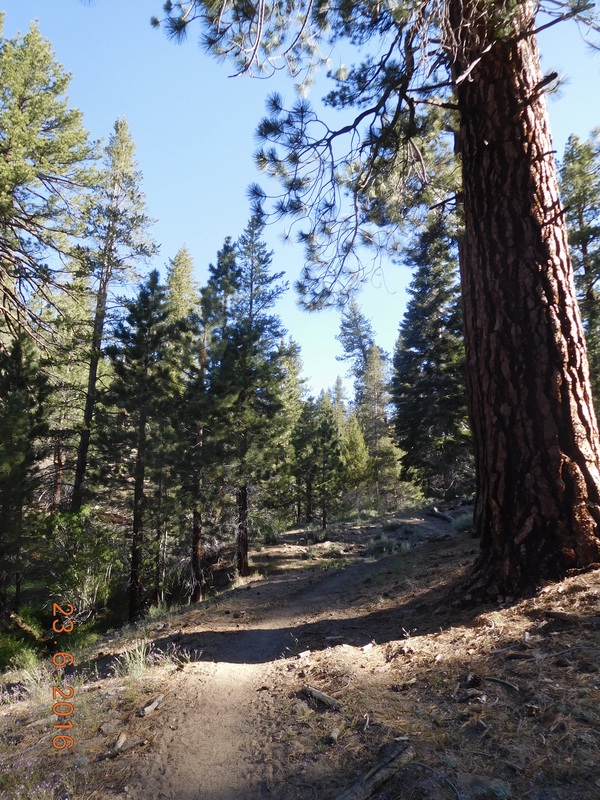
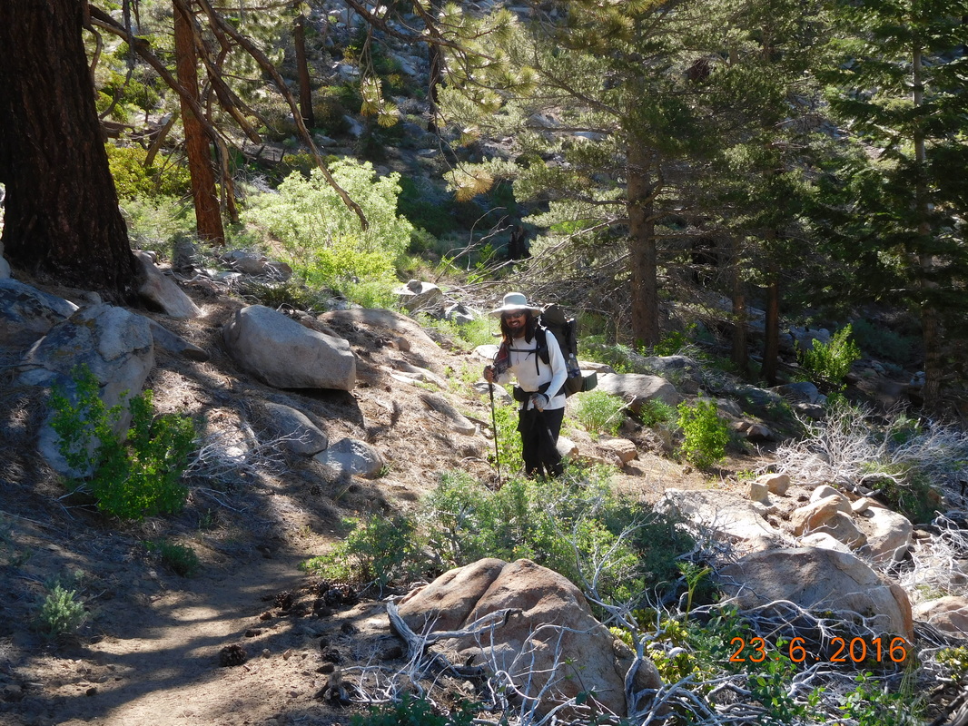
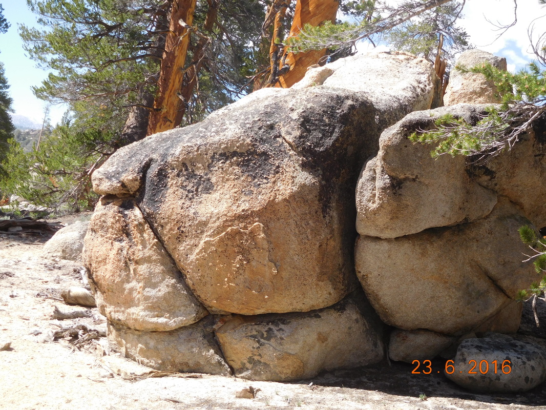
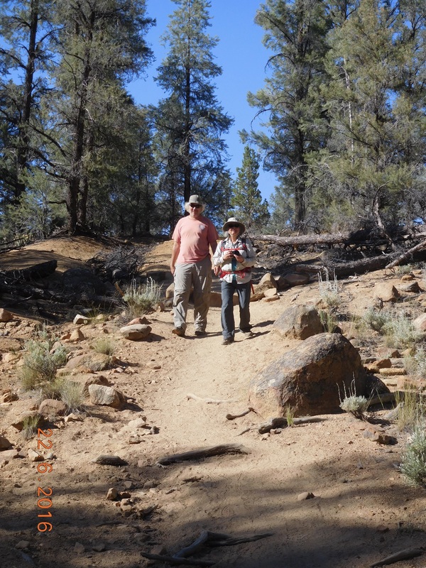
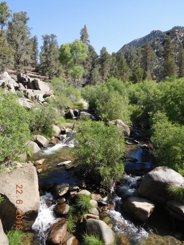
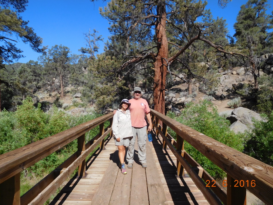
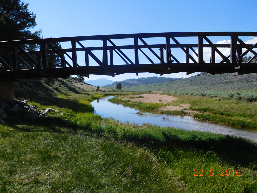
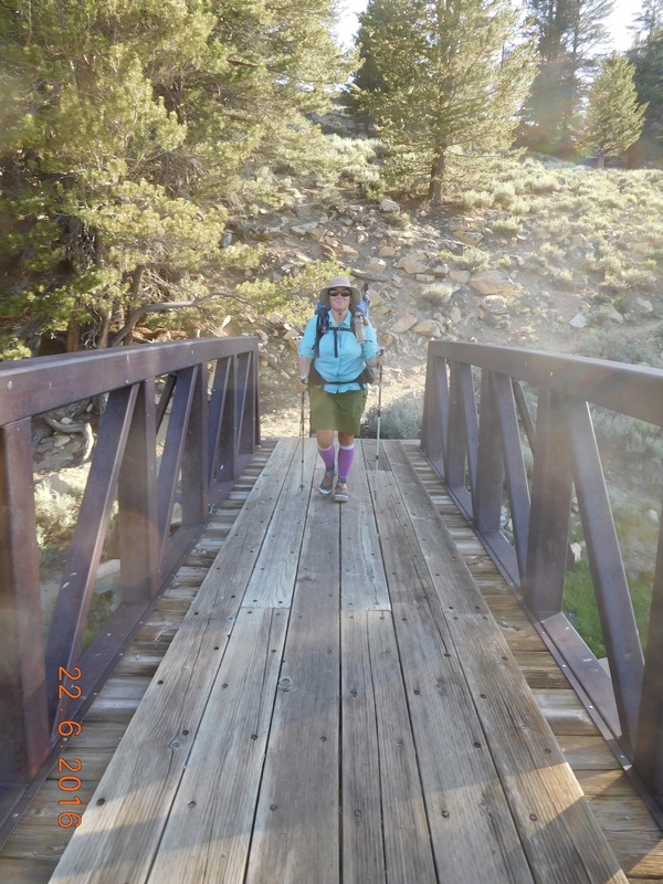
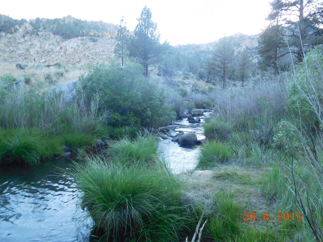
After continuing downhill, we left the mountain views and entered a beautiful pine forest complete with water crossing:
Picture
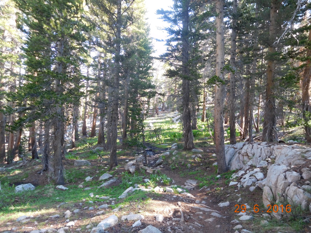
Beautiful pine forest
Picture
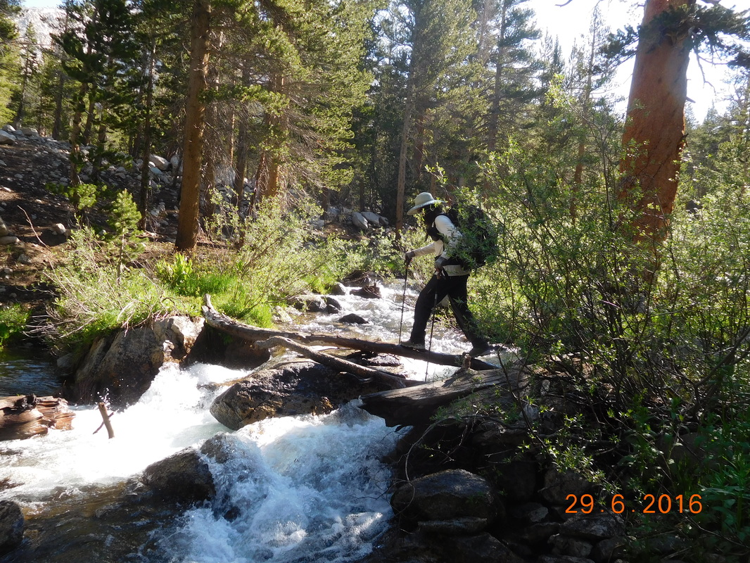
Brad crossing a river.
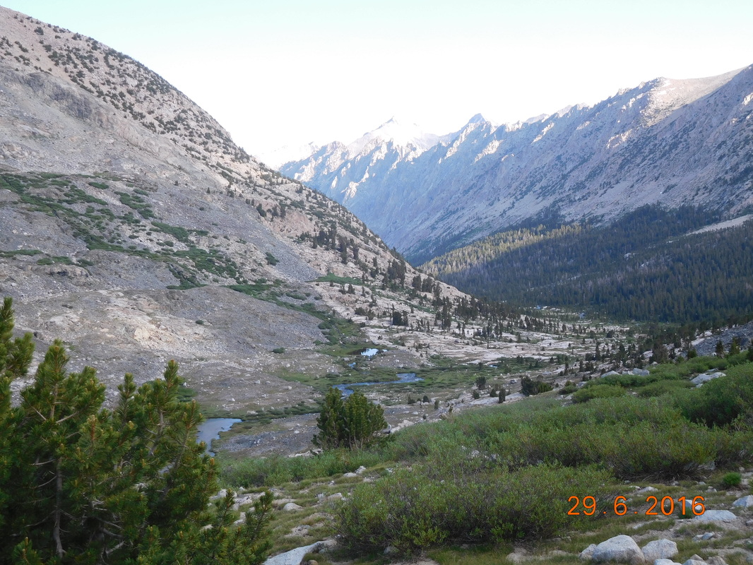
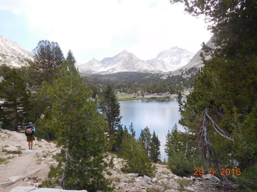
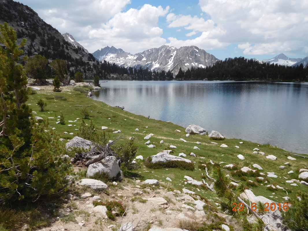
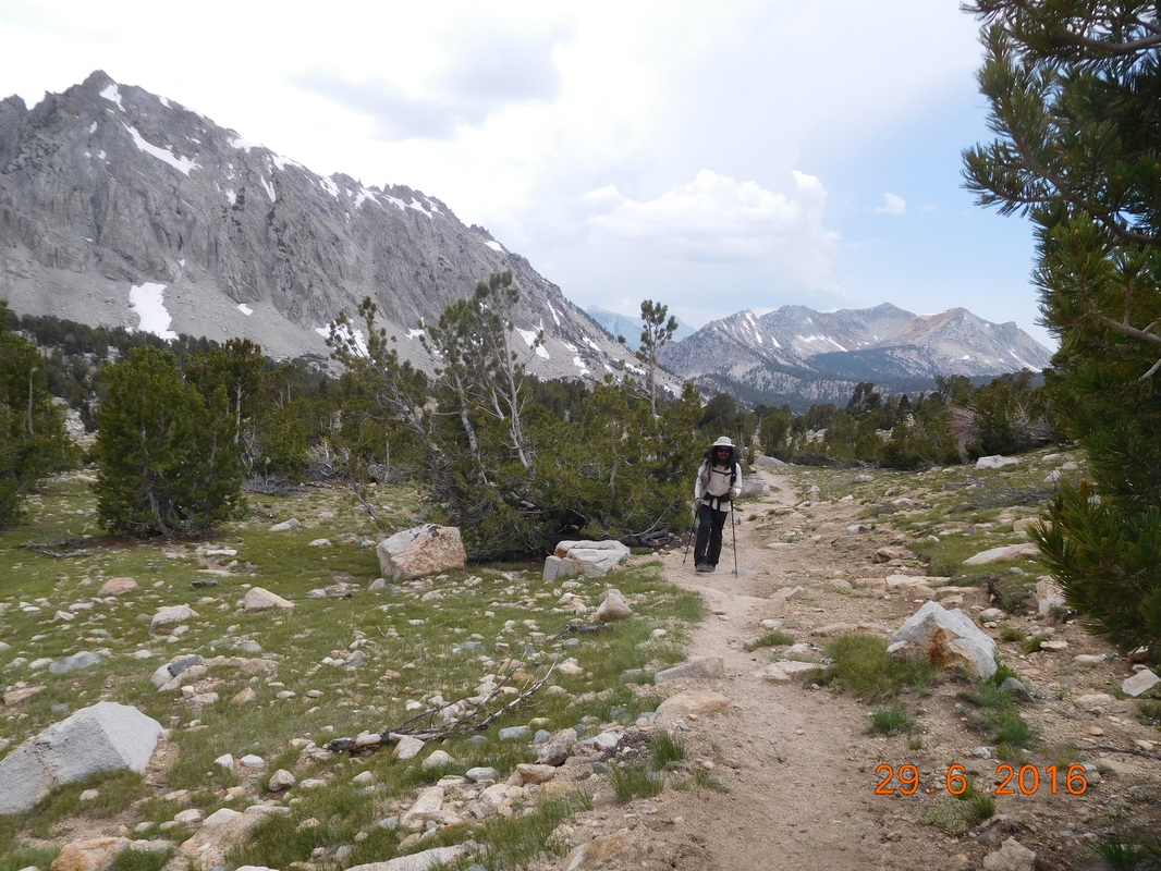
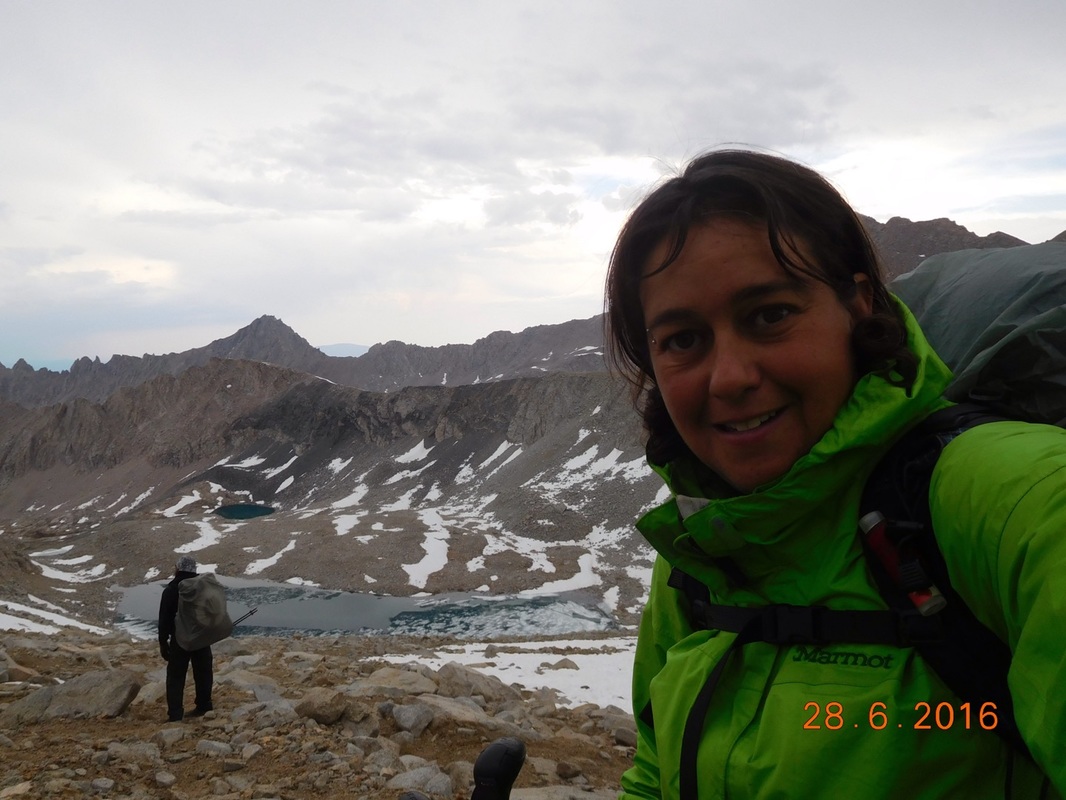
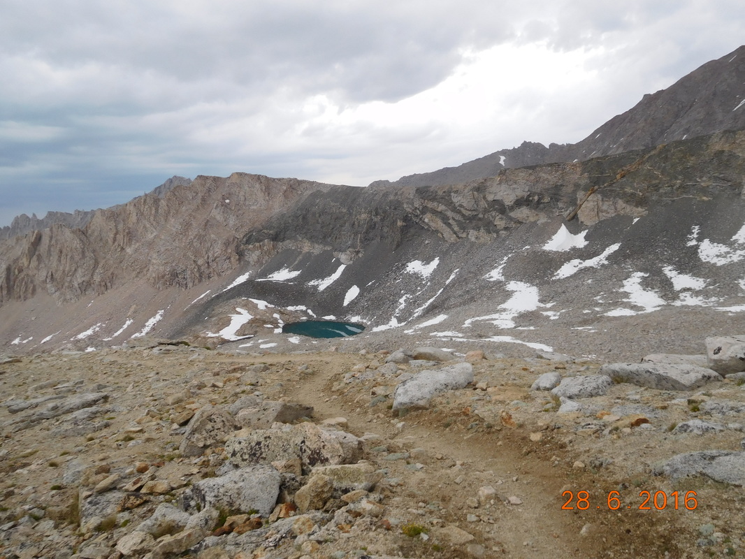
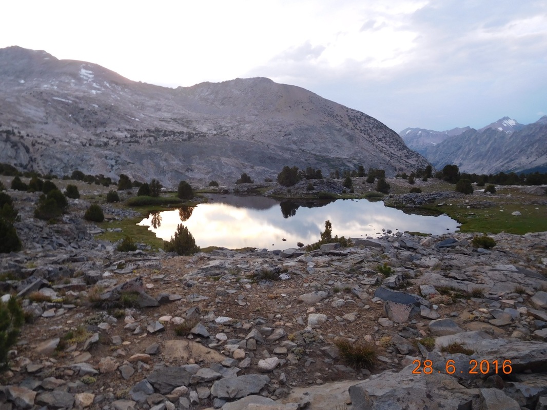
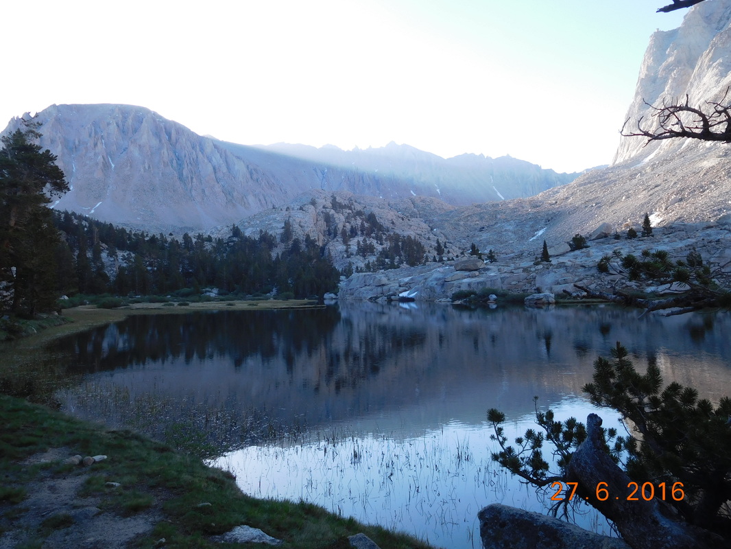
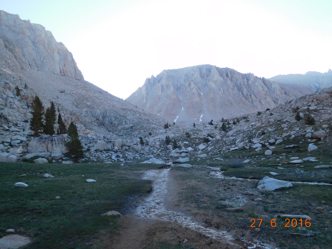
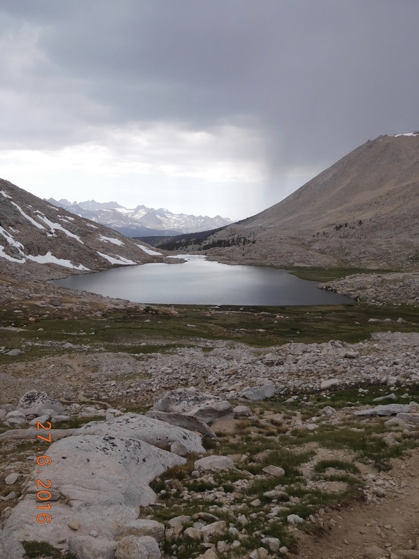
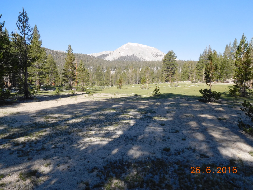
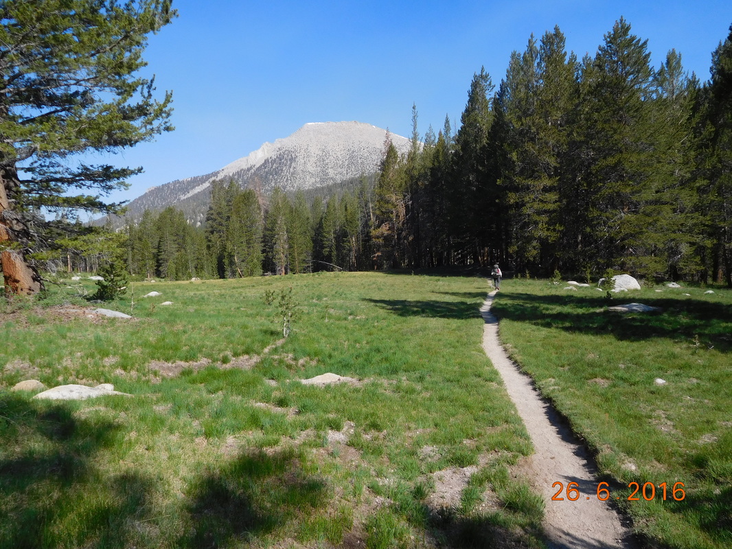
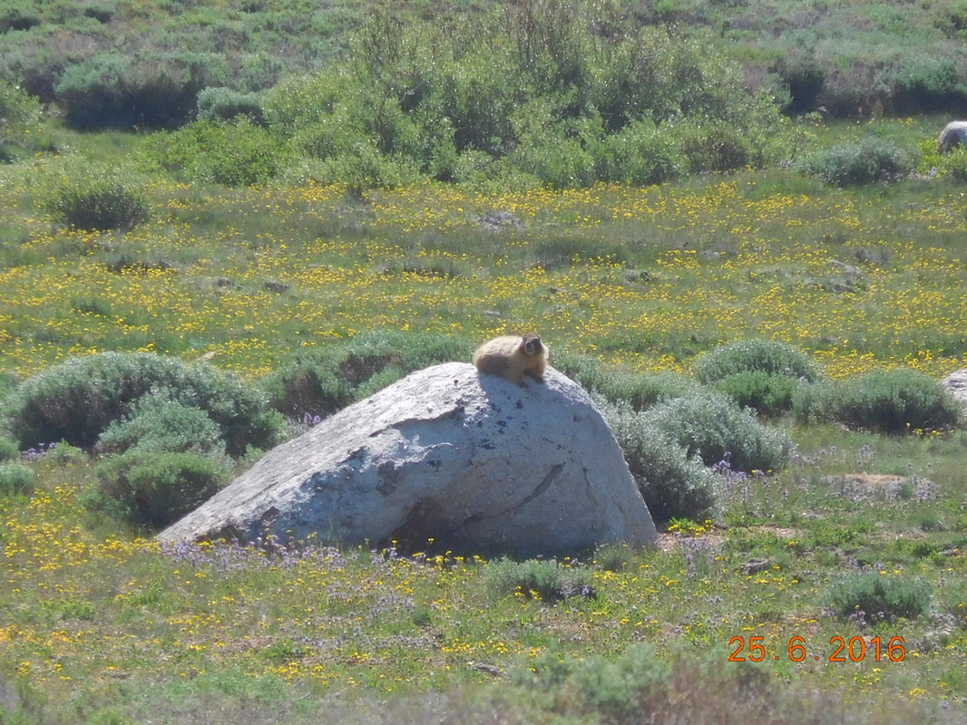
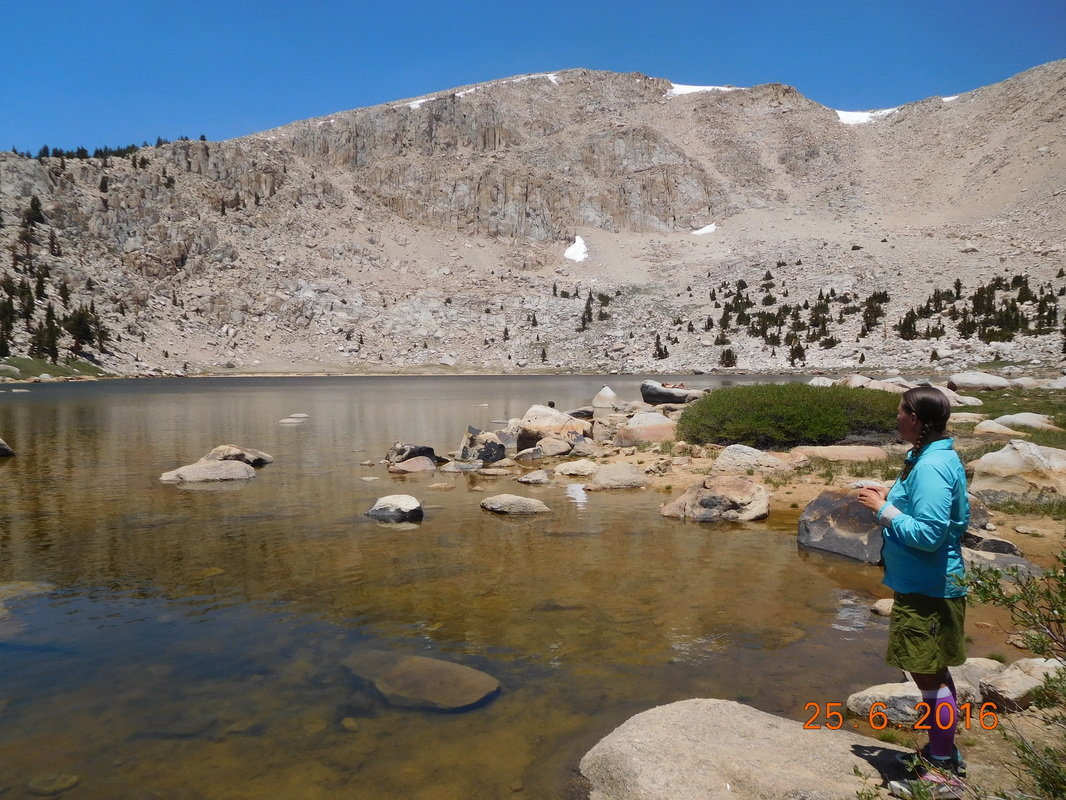
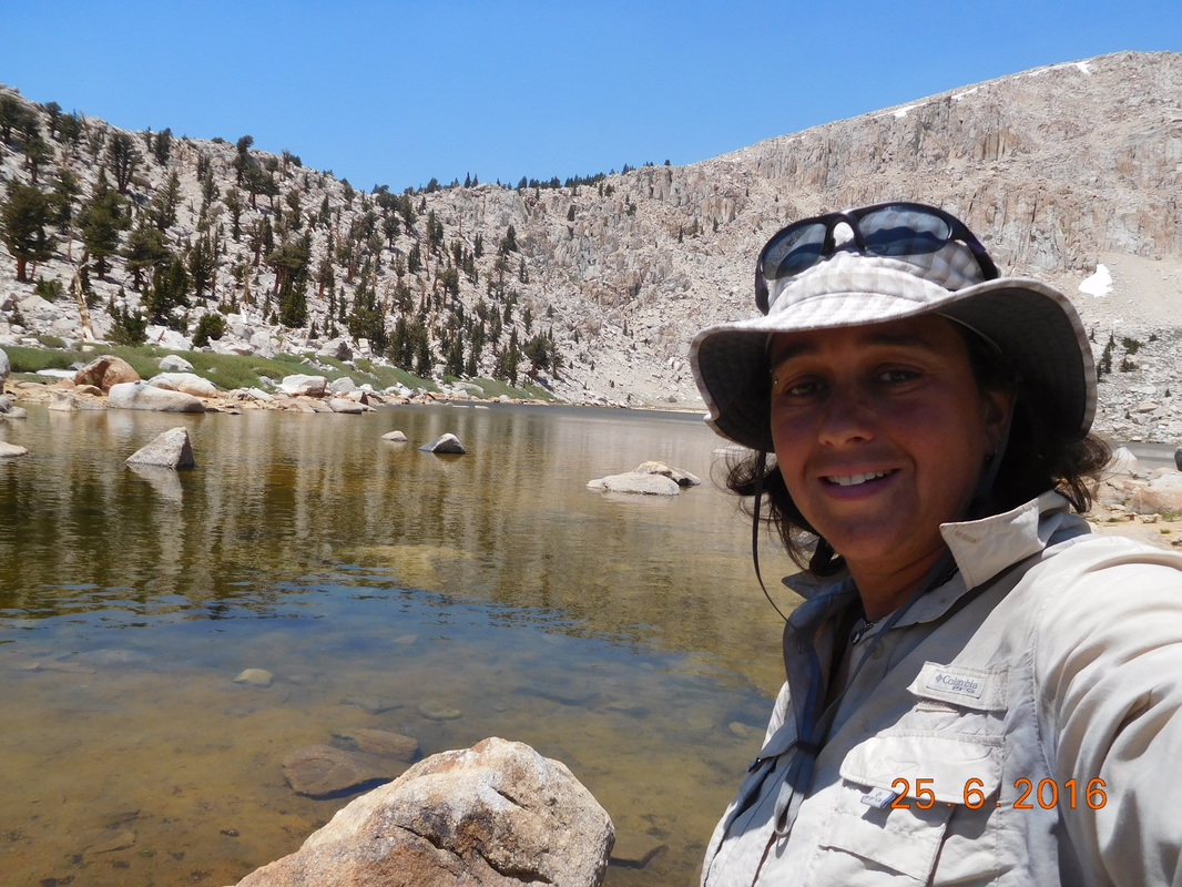
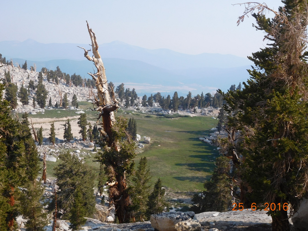
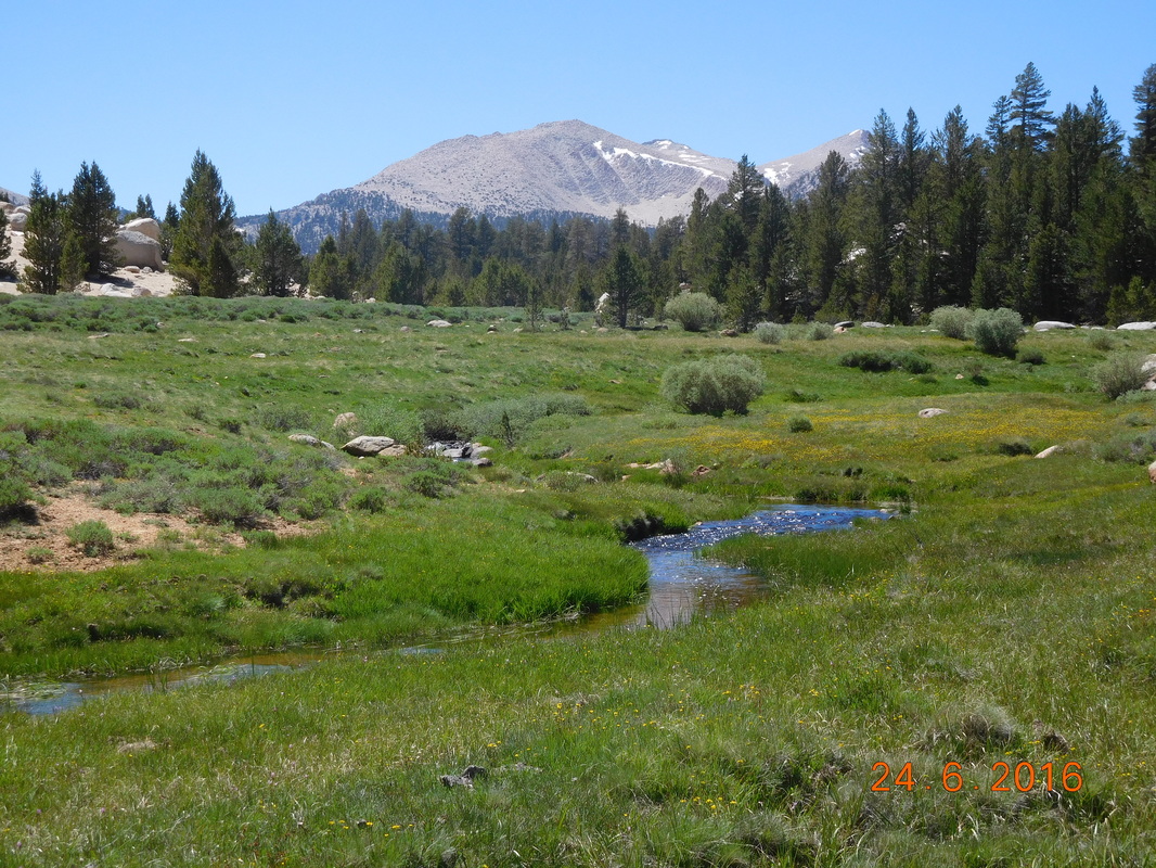
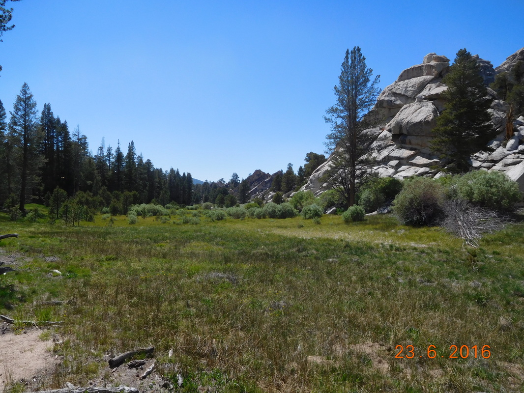
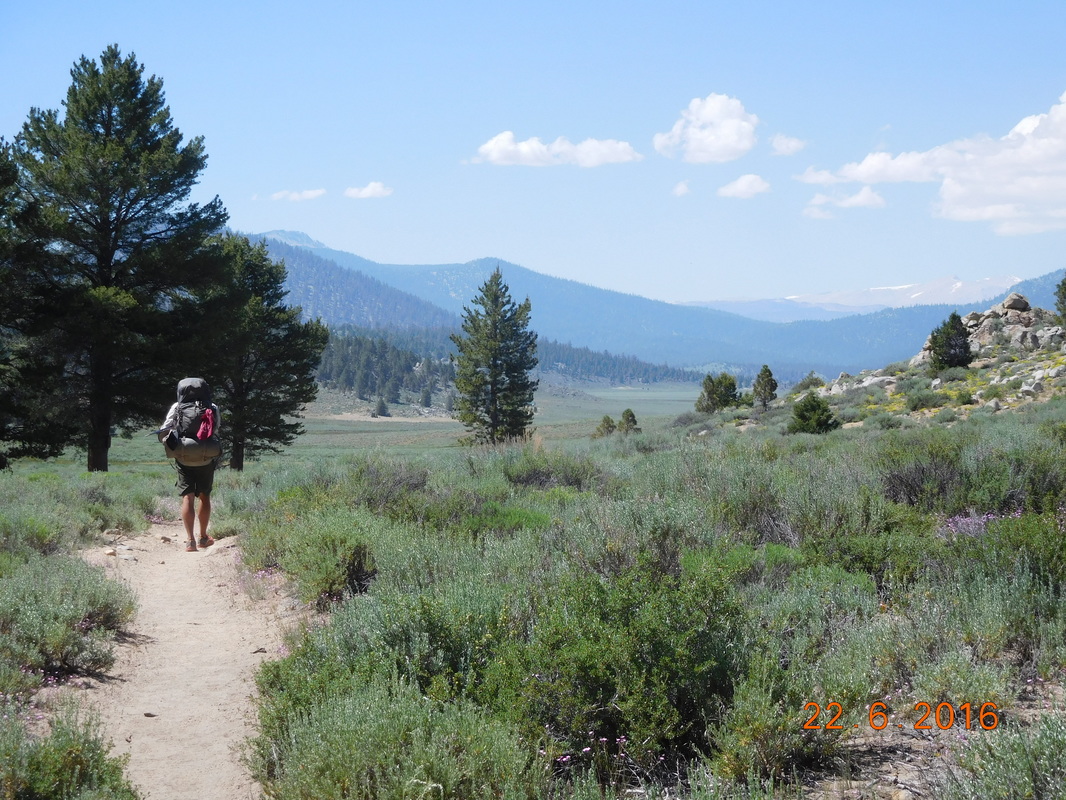
We then popped out into an amazing meadow with lakes and views:
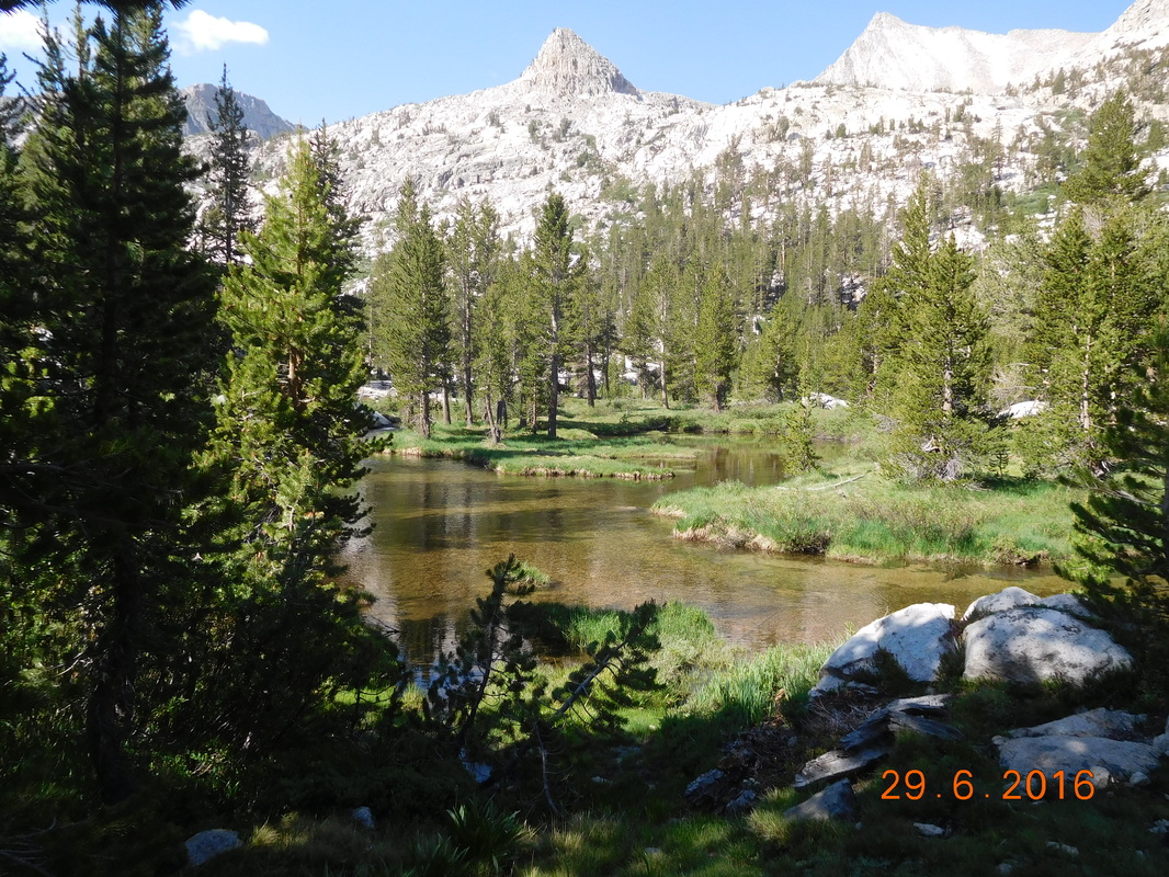
Picture
Alpine lake.
Picture
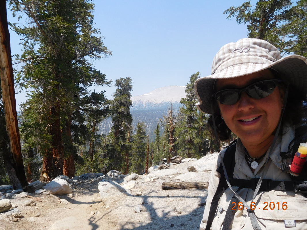
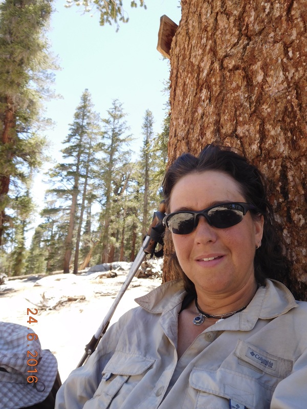
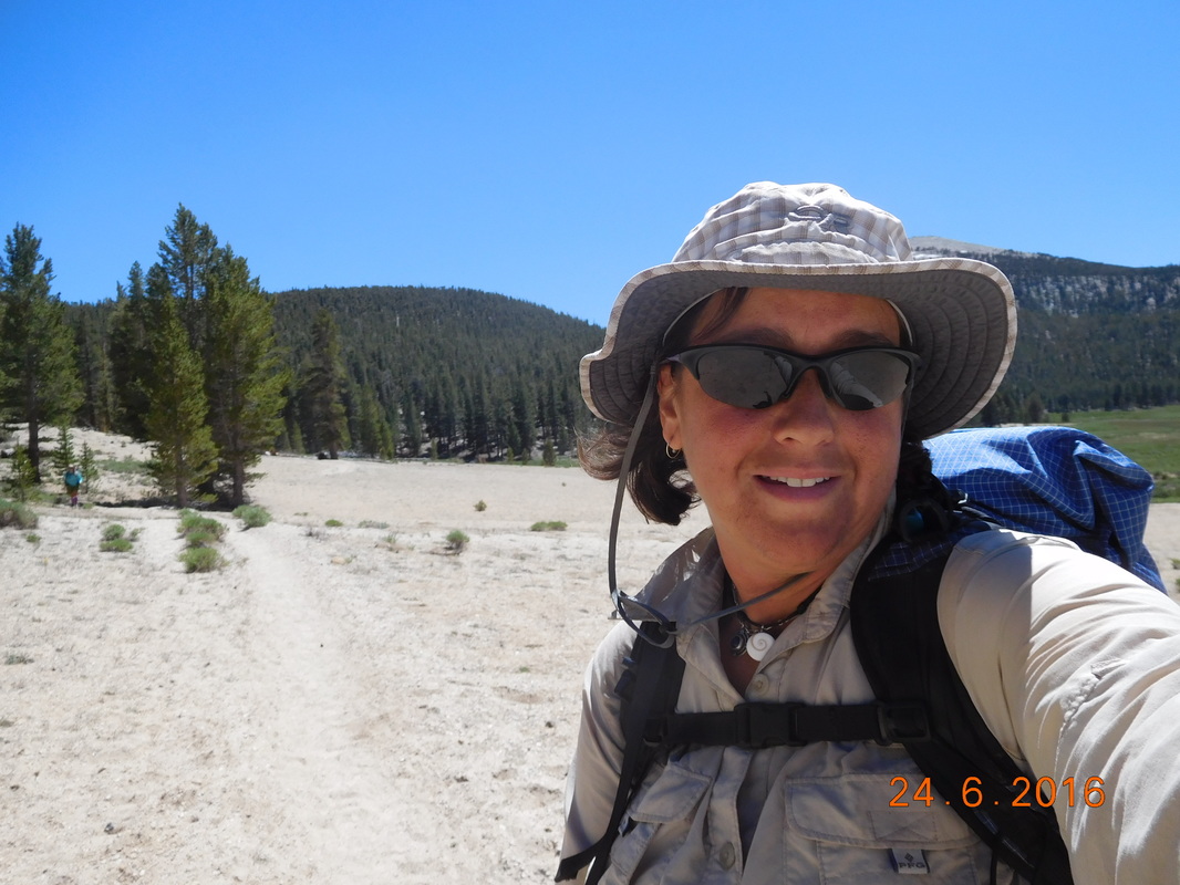
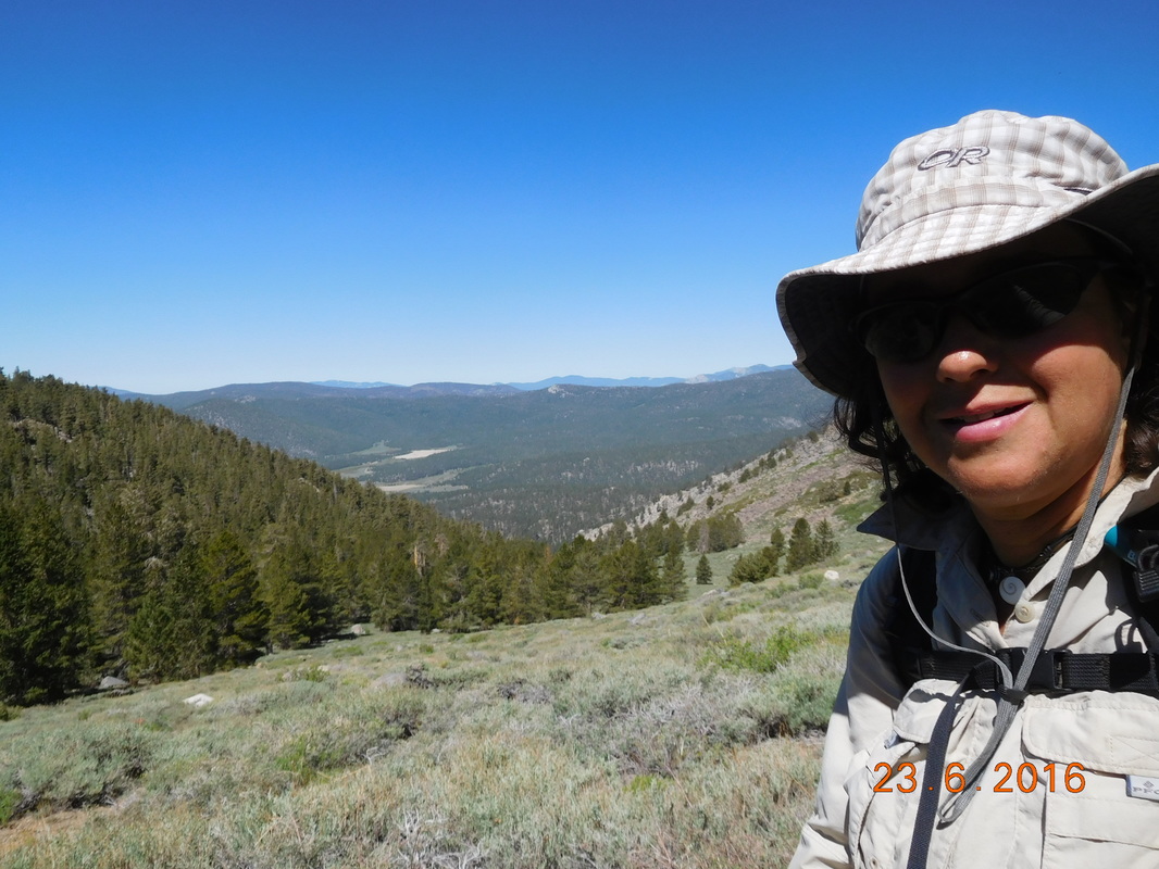
Self-portrait "Mountains behind"
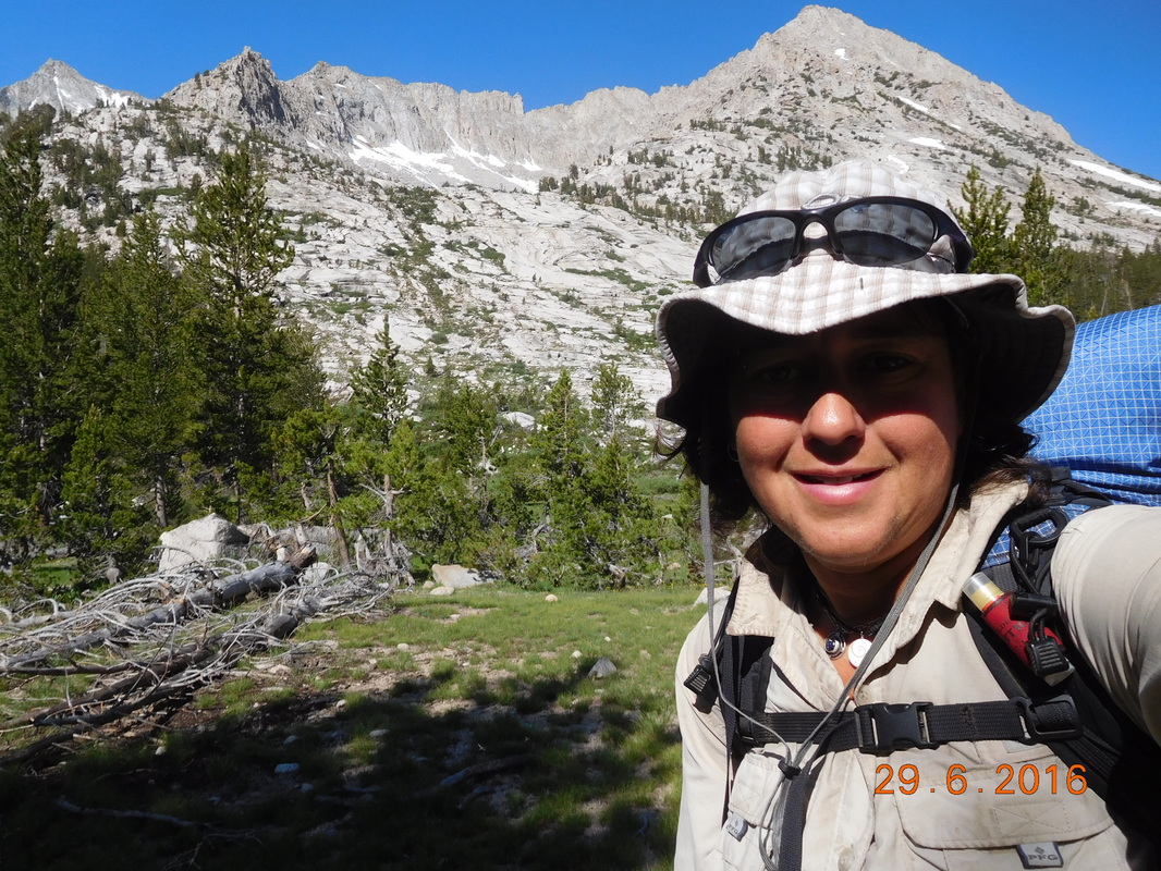
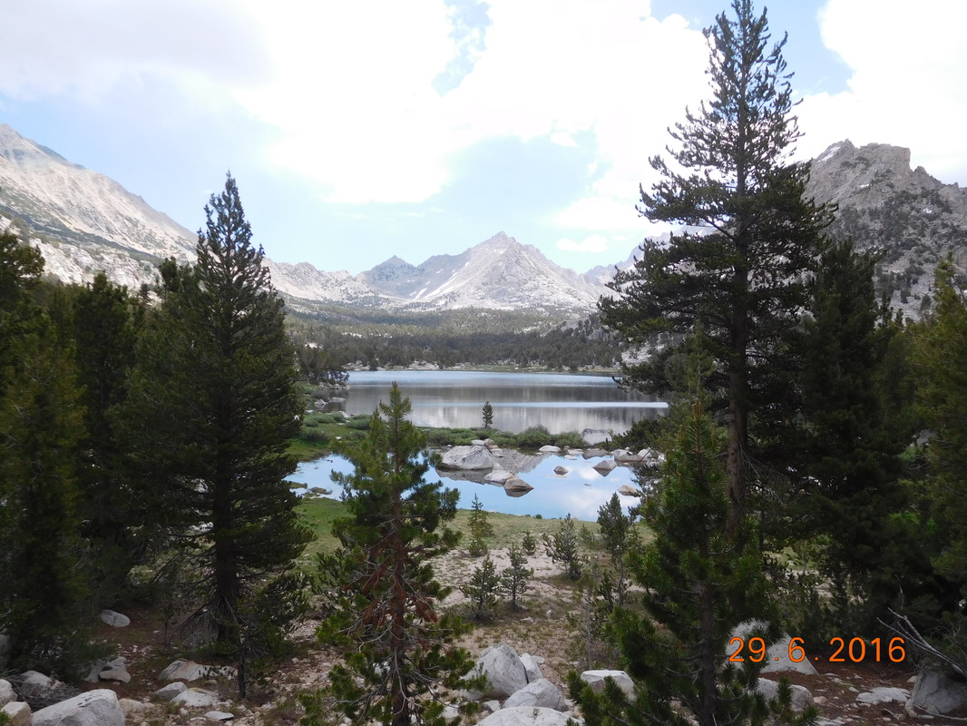
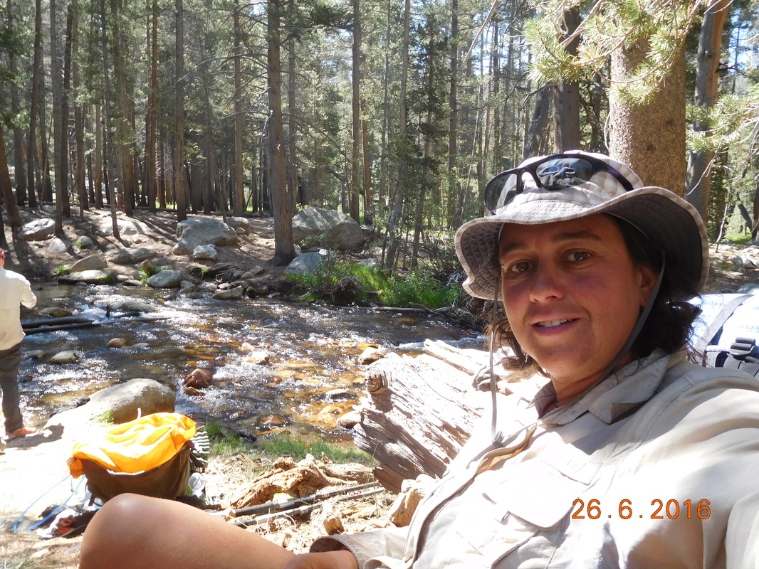
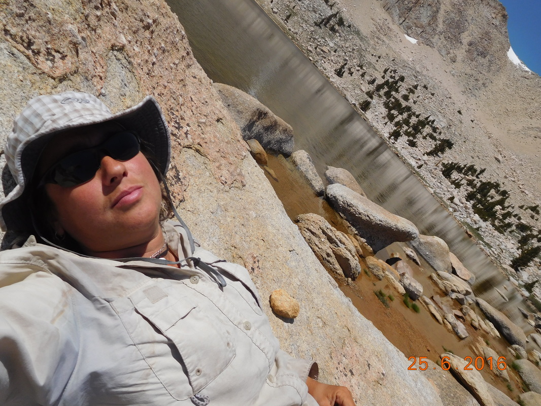
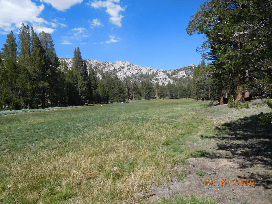
How about a picture with everything…mountains, pine trees, and water:
Picture
Great shot
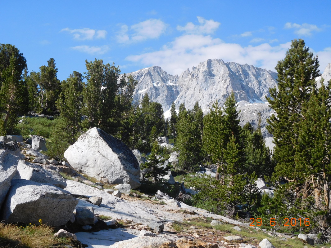
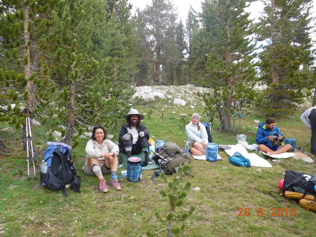
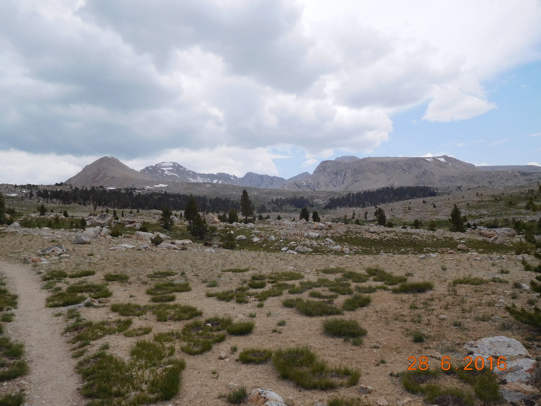
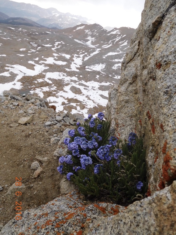
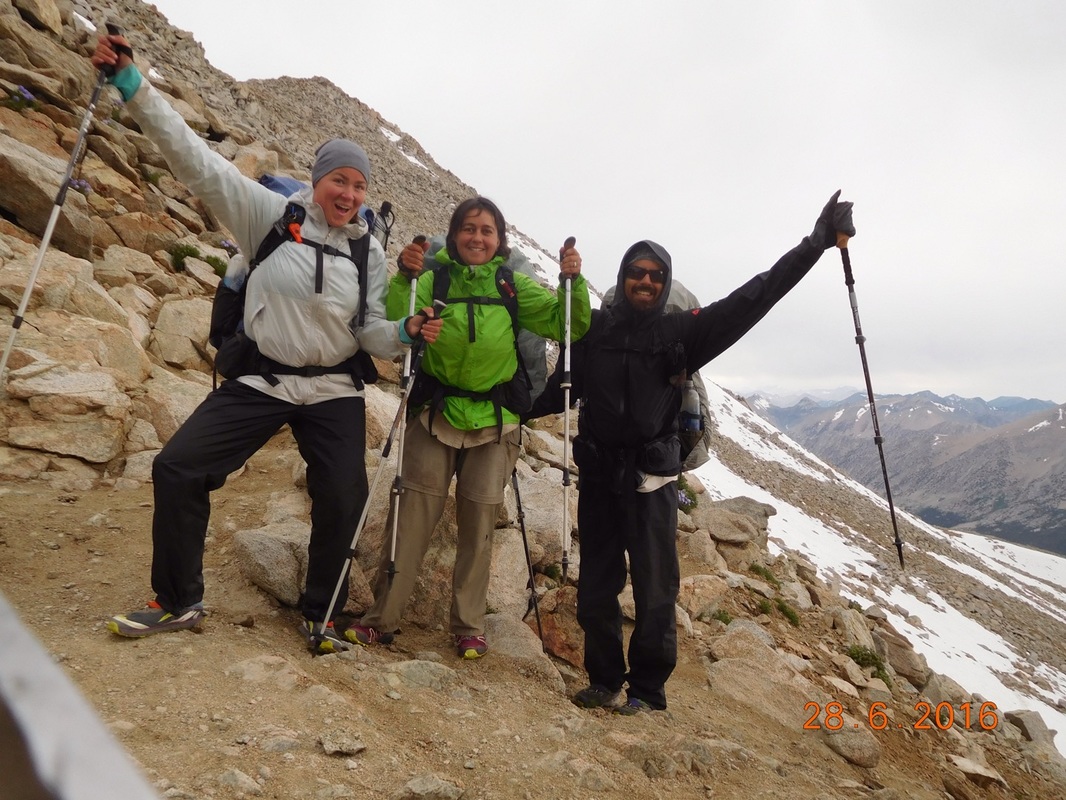
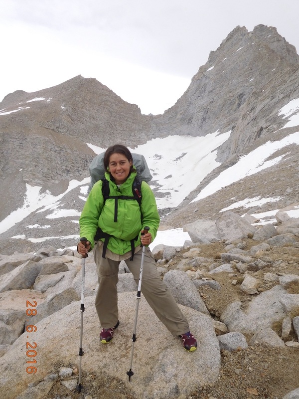
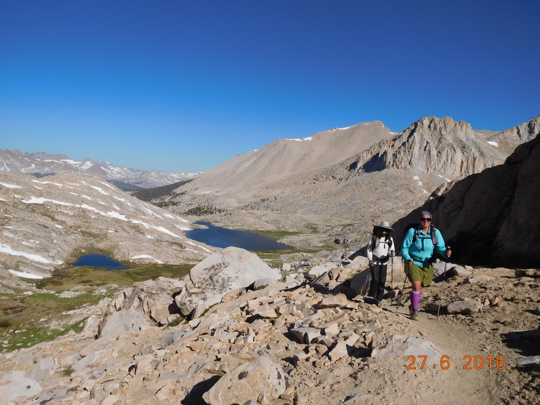
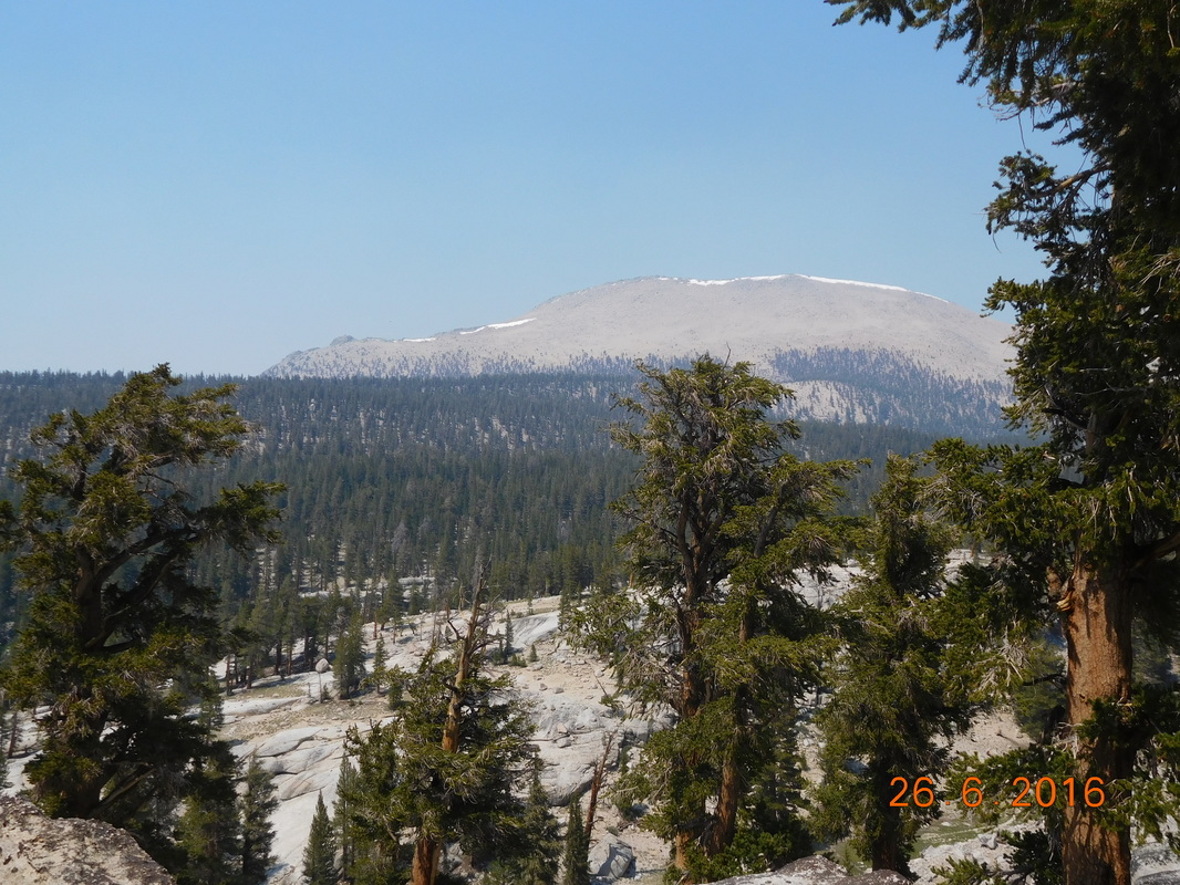
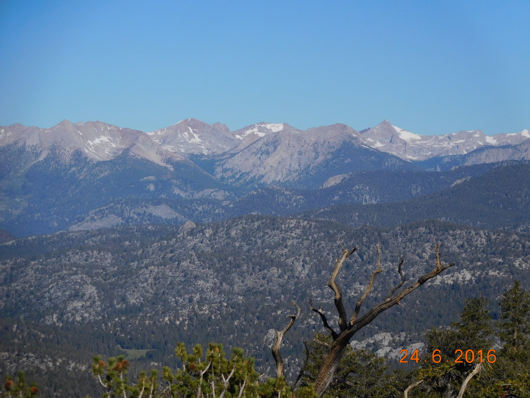
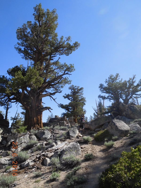
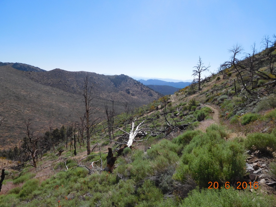
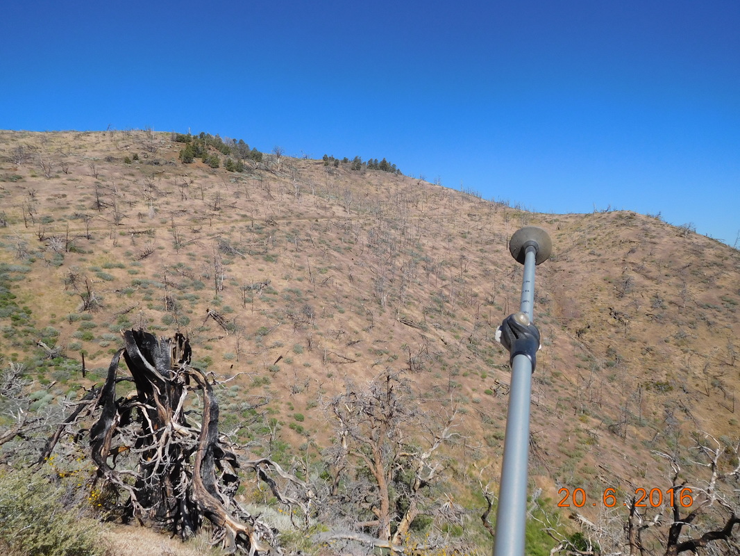
Up to this point the hike has been very pleasant.  We managed to get the first 5 miles done in pretty good time.  We even took a pretty long break thinking that this day is going well and we have some time to relax.  We did have a 1.5 mile climb up to our turn-off for Lone Pine, but we can handle that.  Even though the 1.5 mile climb was tough, we had some really nice views as we did it:
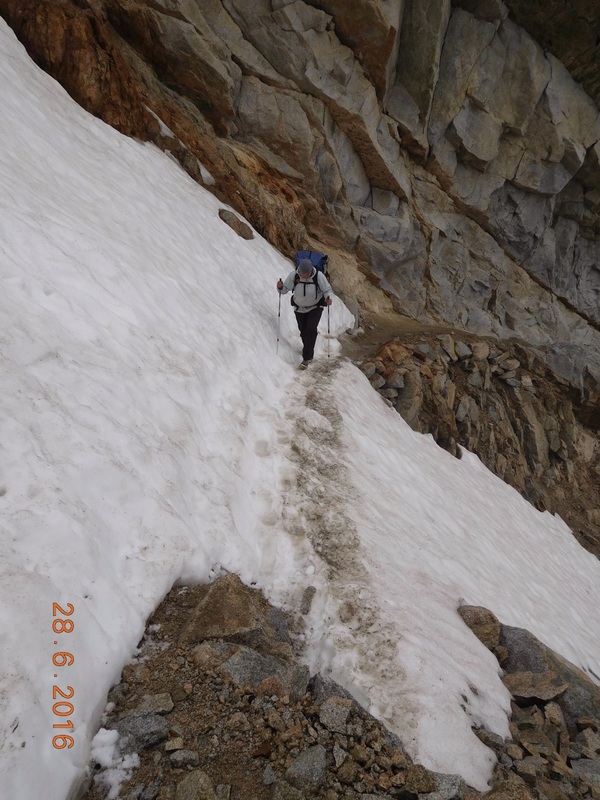
Picture
Share Bear climbing
Picture
Share Bear & view
Picture
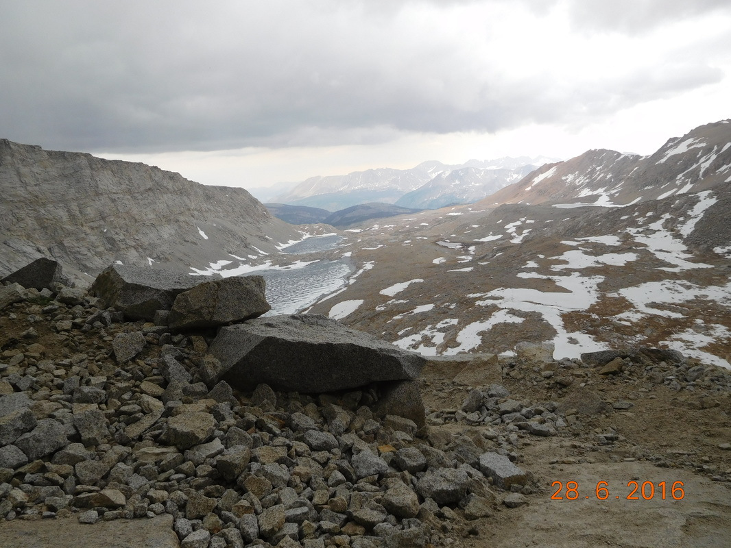
Boulder field with mountians
I know…who can’t climb a hill looking at those views?!?

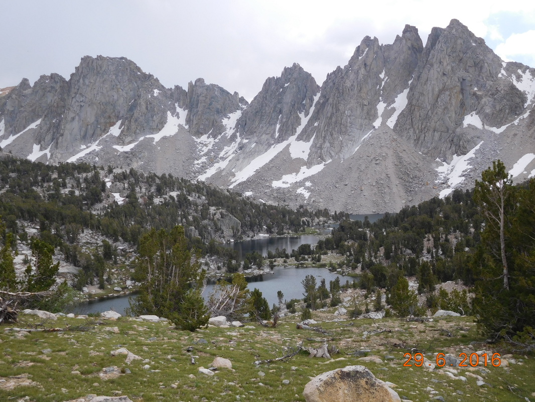
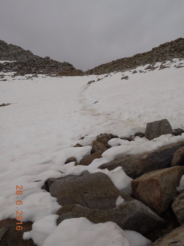
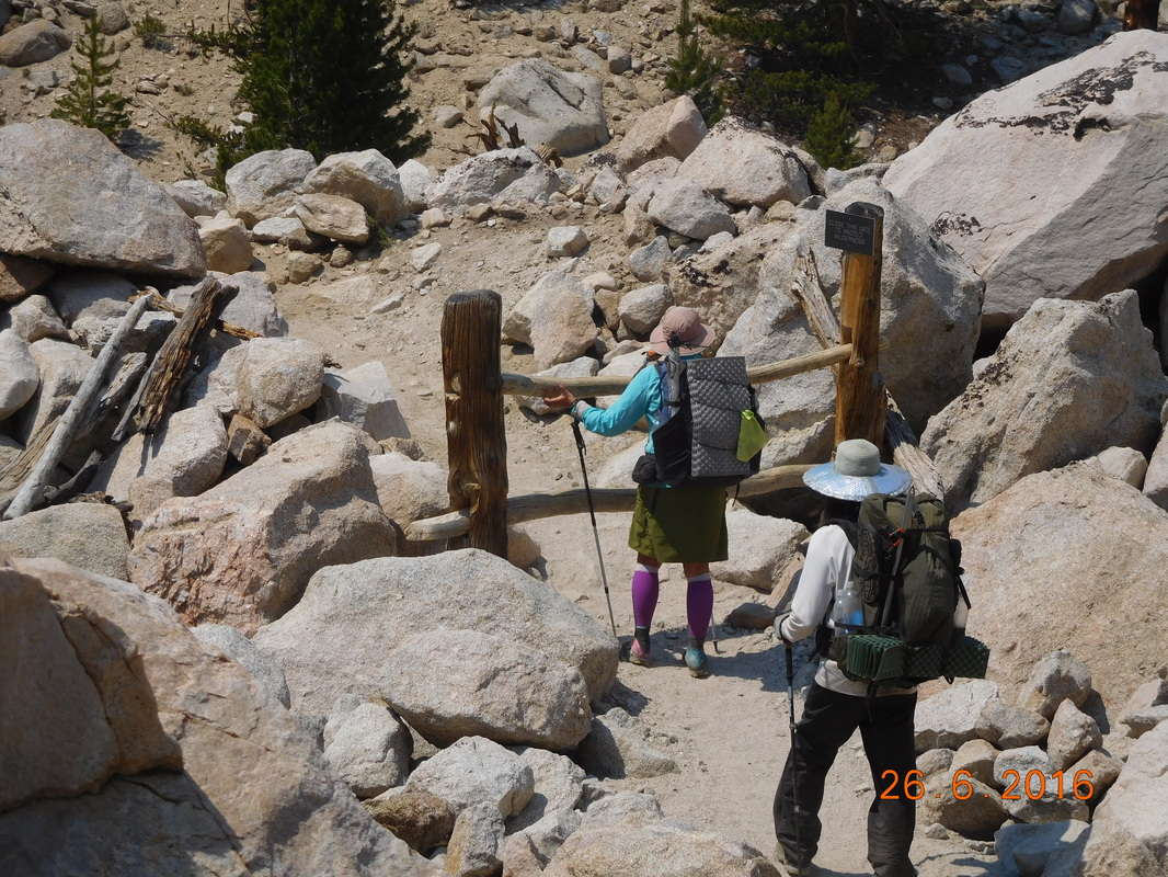
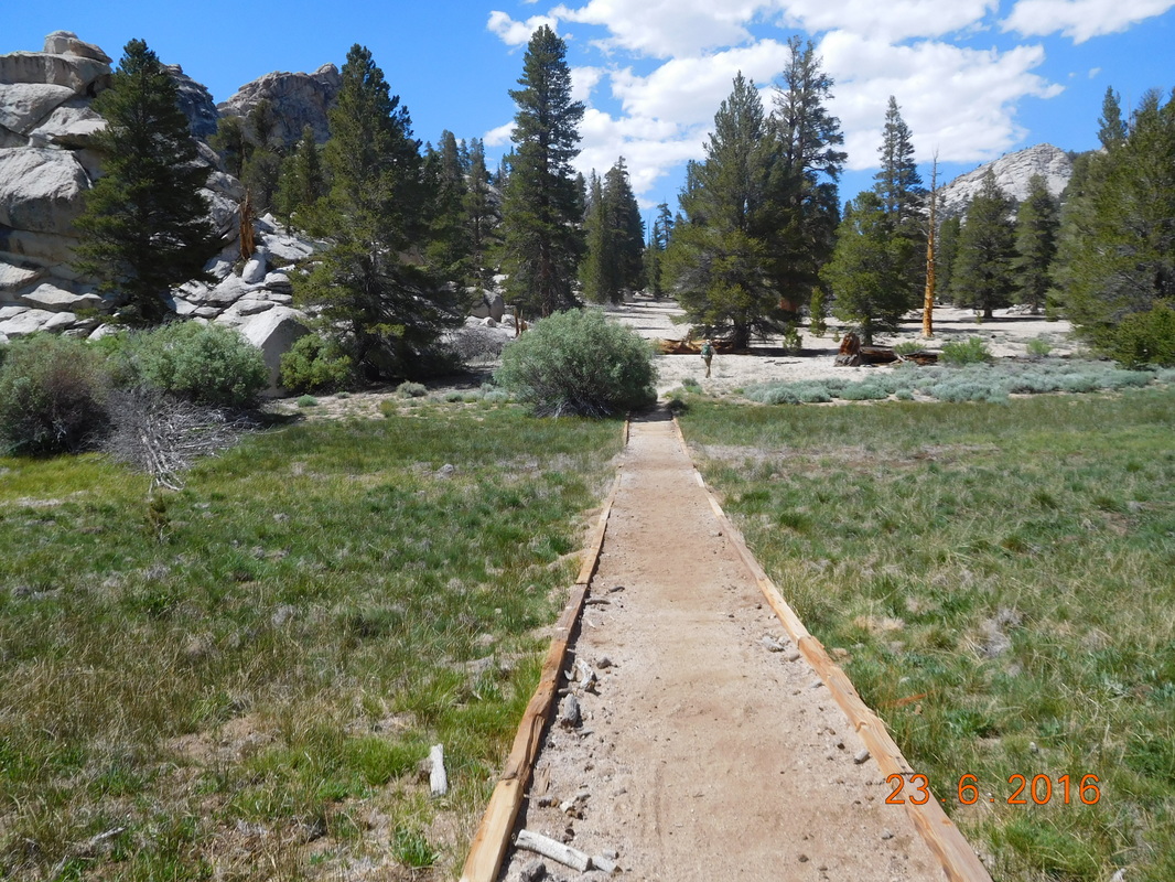
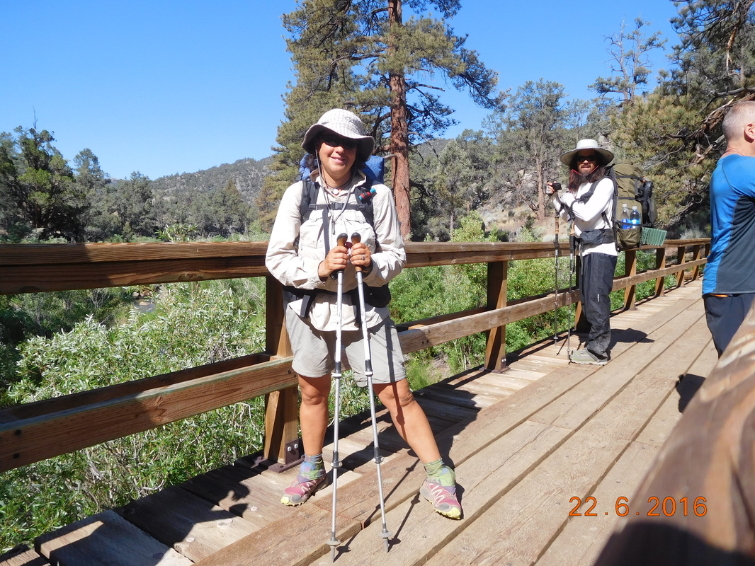
Now we just have the 7.5 mile trail to Lone Pine.  We decided to take the first side trail called Bullfrog Lake Trail because we heard it was amazing…well at least the first 1.7 miles were.  Check it out:
Picture
Share Bear admiring Bullfrog Lake
Picture
Amazing Bullfrog Lake
Picture
Wow!
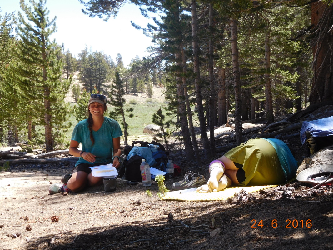
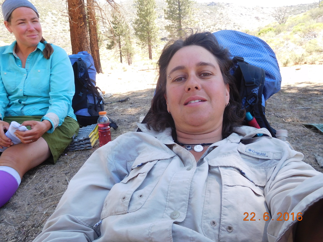
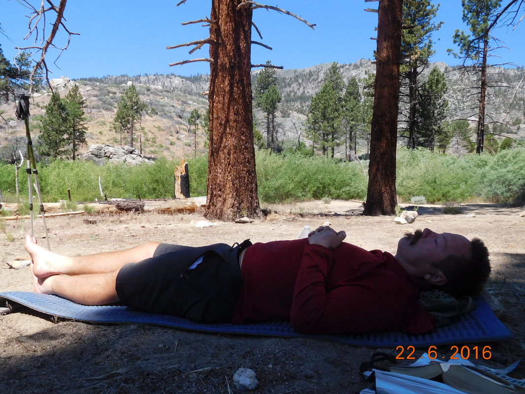
We stopped for lunch around 12:30 and had this amazing view to look at while we ate:
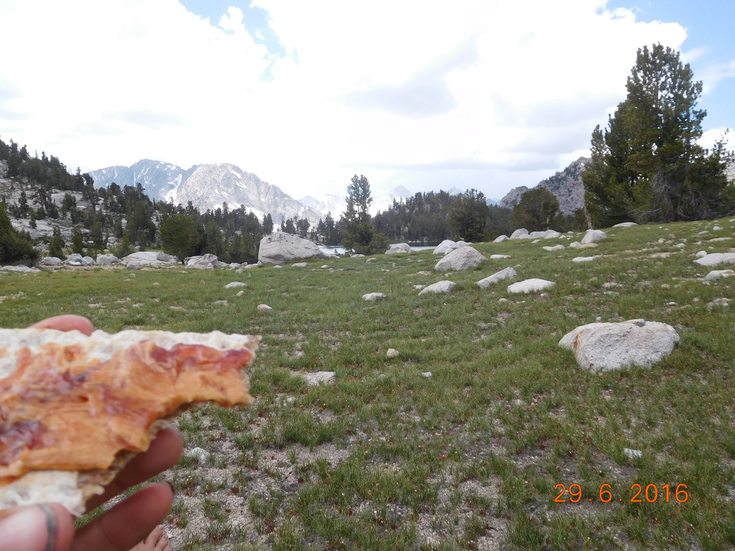
Picture
Lunch with a view
Now we have just under 6 miles to go.  We figured we could knock that out in 3 hours tops since we are hiking more than 2 miles per hour.  That should put us in Lone Pine by 3:30…cool.

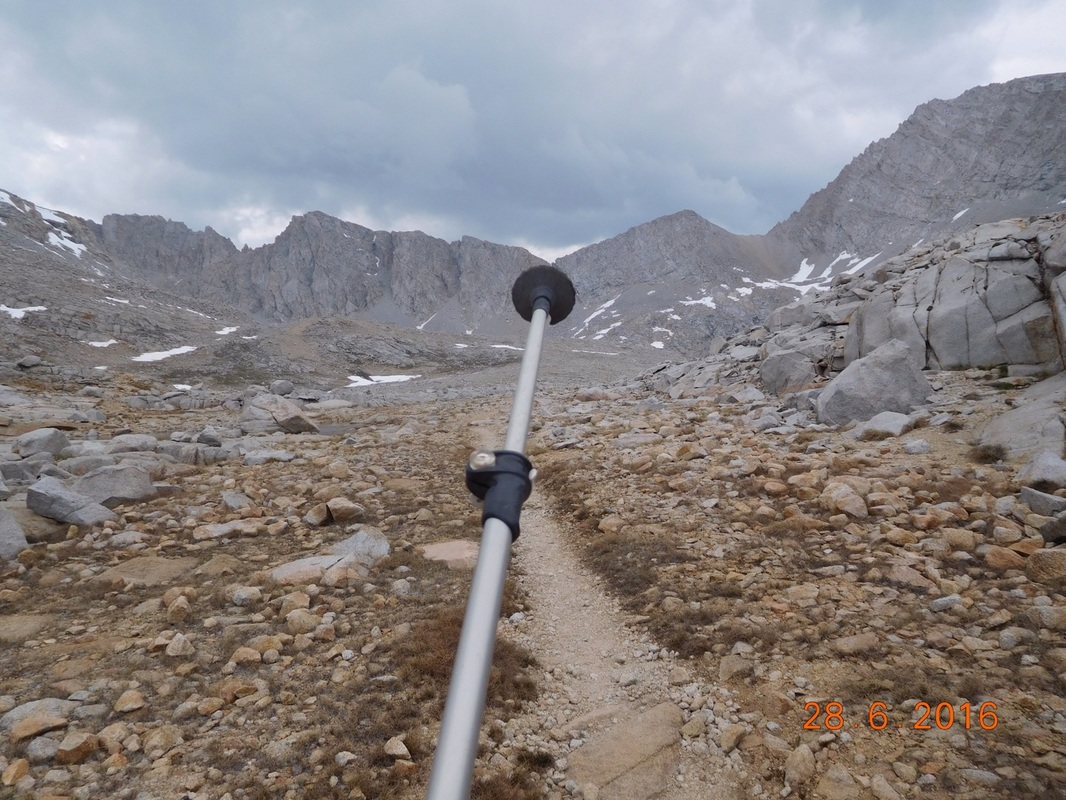
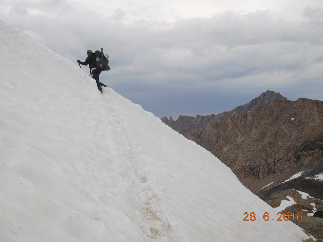
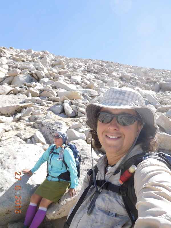
After lunch we hit the trail and then it started climbing and climbing and climbing.  The rest of Bullfrog Lake Trail was as steep as any trail we have been on so far.  There were no switchbacks, the trail just went straight up. We then hit Kearsarge Pass Trail and hoped this would be a bit better, but no…this crazy trail climbed straight up and steep as well.  Luckily the views we had on our frequent and long breaks were amazing:
Picture
Picture
Brad climbing
Picture
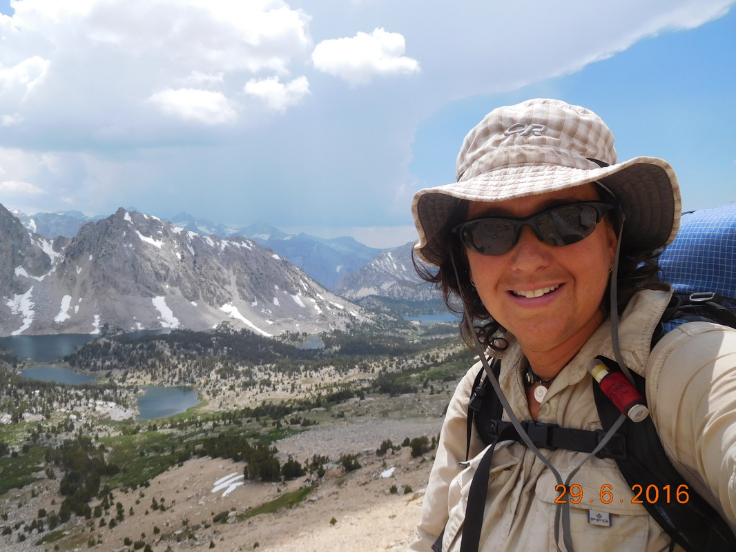
Self-portrait "Taking a breather"
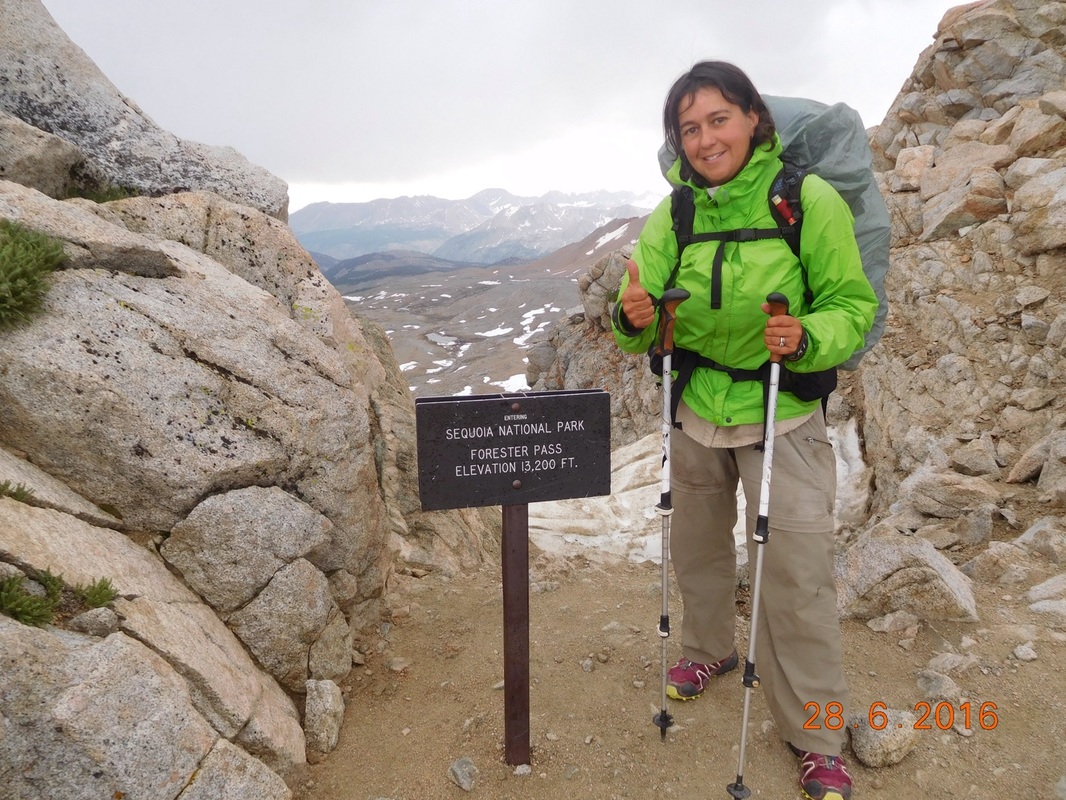
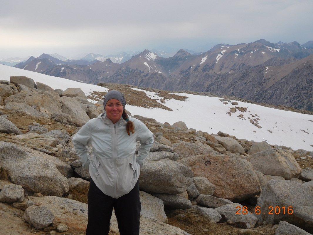
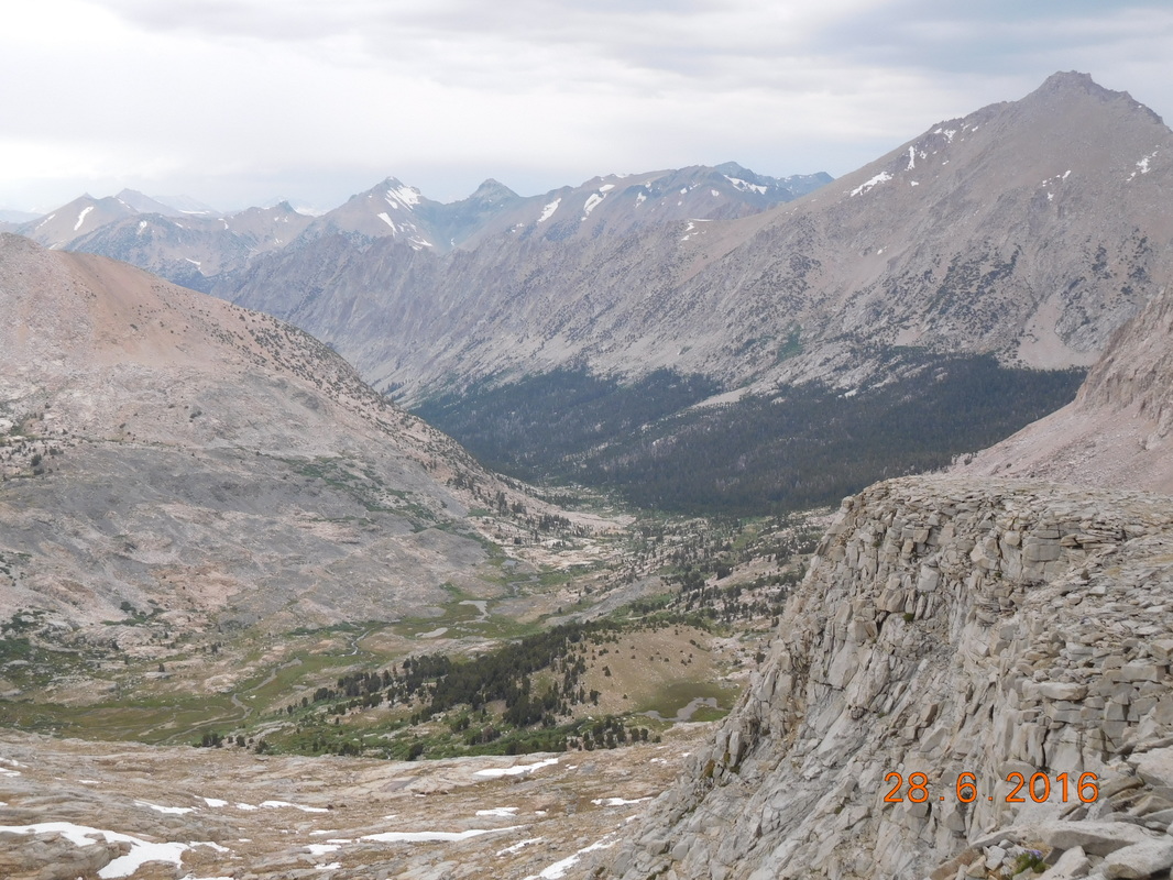
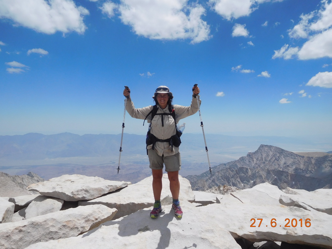
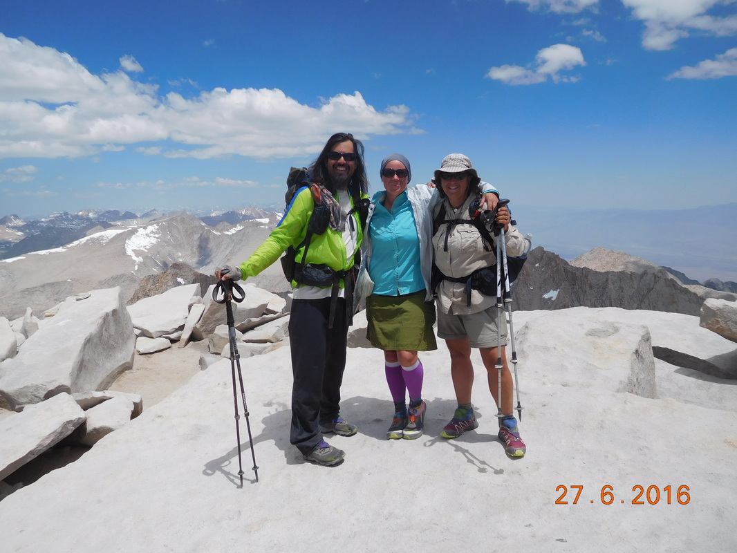
Finally, we made it to the top of Kearsarge Pass at 2:30 PM. 
Picture
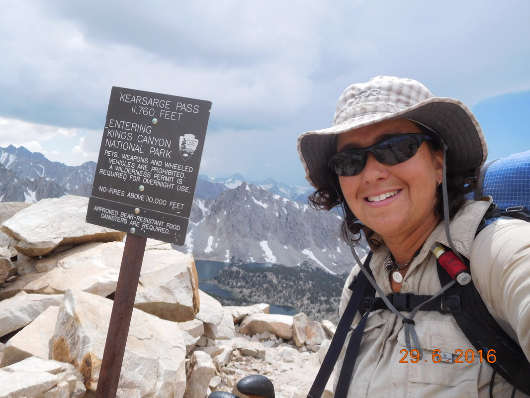
Atop Kearsarge Pass, 11,760 feet
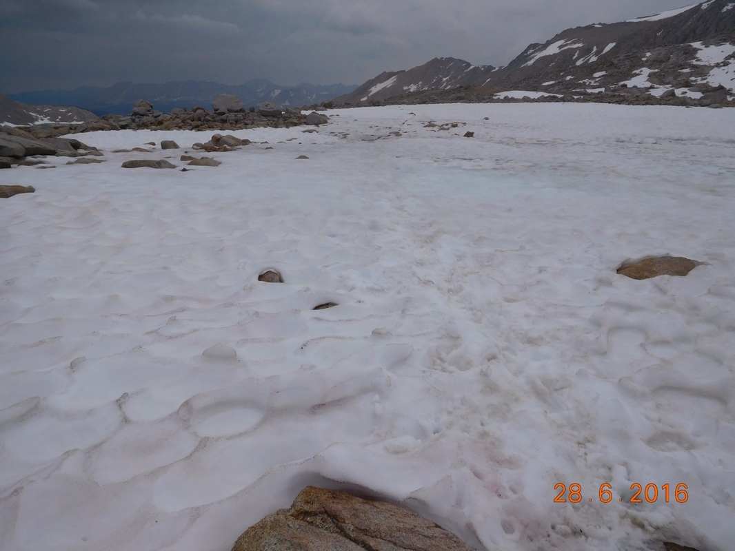
We now have 4.7 miles till we make it to Onion Valley where Tim is supposed to meet us.  We thought we would be there by 3:30, but now we are hoping to get there by 4:30.  Even though the 4.7 miles were down, it was hard and exhausting, especially after the last 2 giant days we had.  We kept hiking down and down and down and we felt like we were never getting there.  Even worse…we know we have to go back up this same trail to Kearsarge Pass in 2 days when we come back to the trail.  

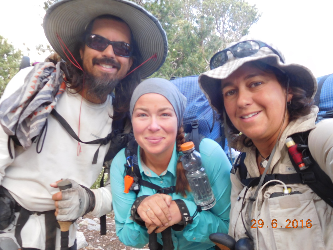
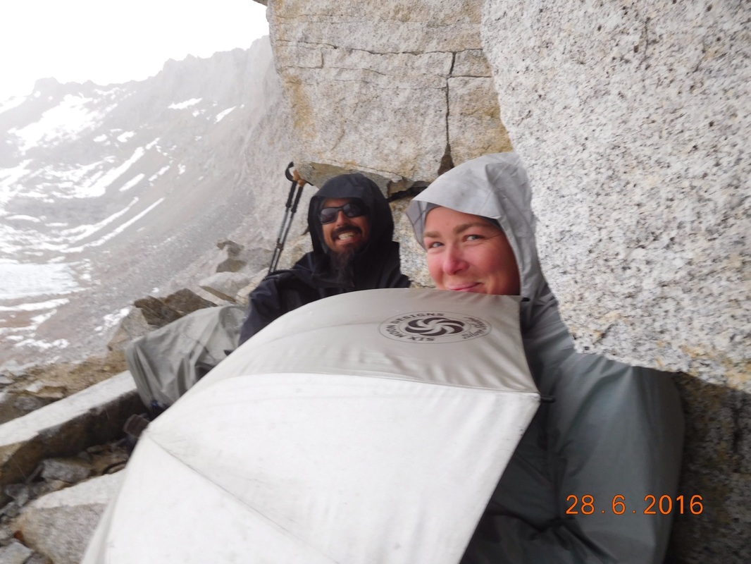
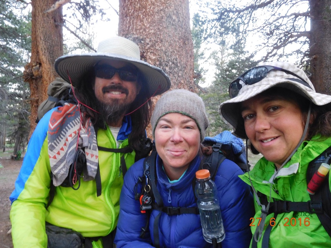
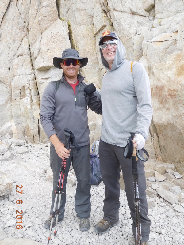
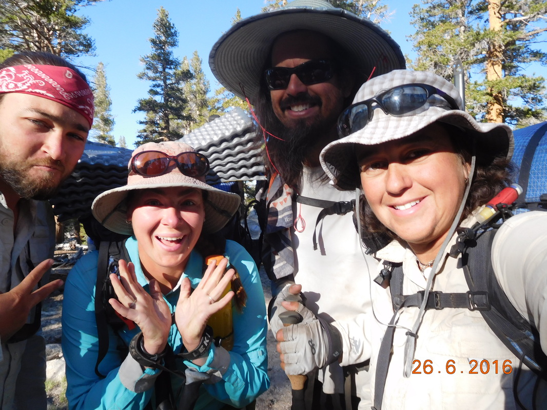
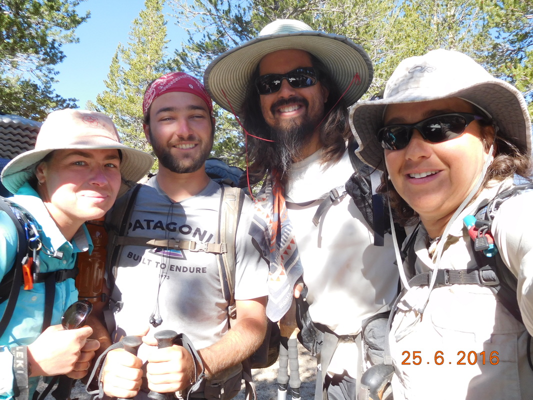
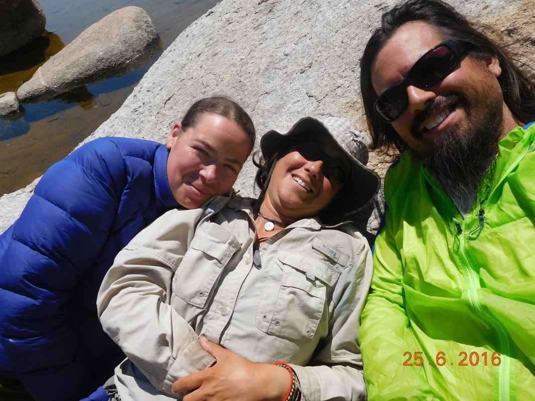
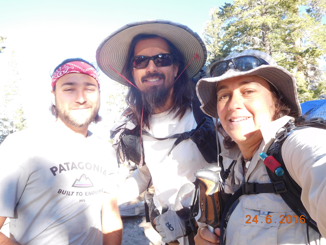
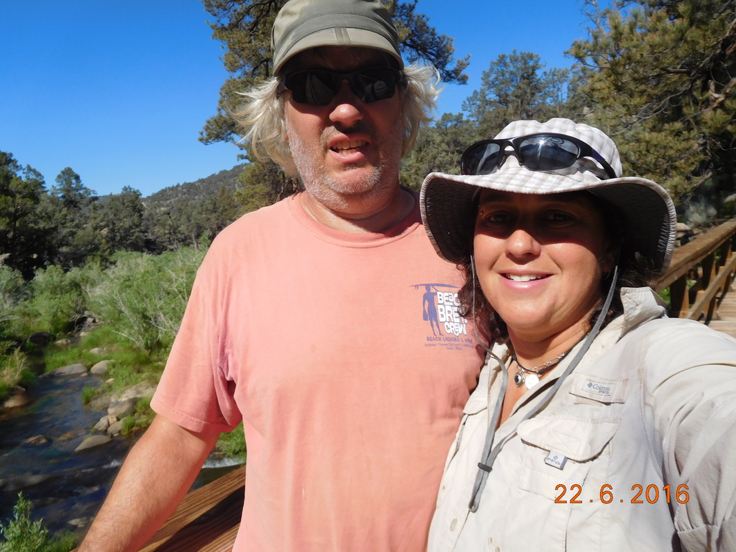
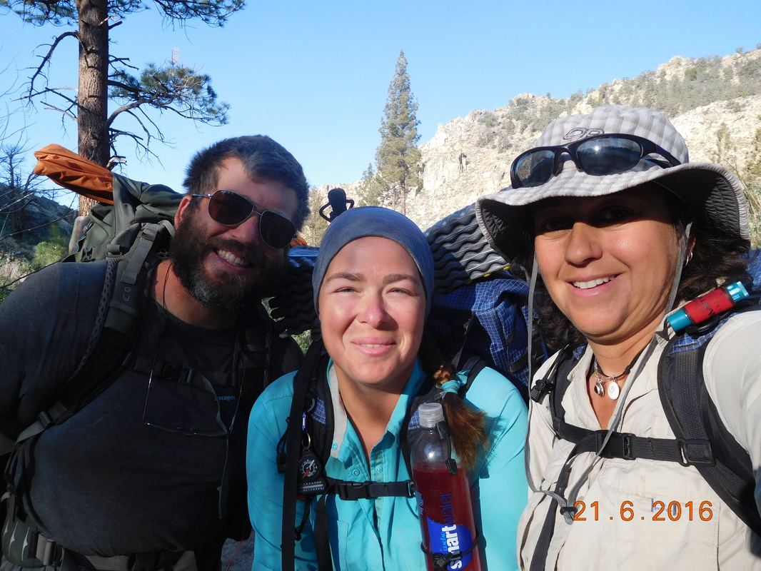
Surprisingly, about 2.5 miles from the bottom Tim was there. He had hiked up to meet us.  This made the last 2.5 miles better, but still at the back of my head was the climb back up here in 2 days.  Not many pictures were taken during the way down except for this nice picture of Tim and I:
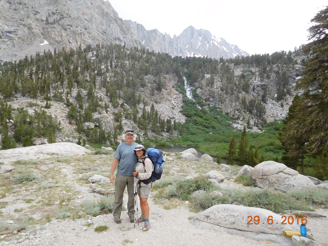
Picture
Cute picture
We finally got to the parking lot at 4:30 PM exhausted with tired legs and hungry bellies.  But first thing is first…we have to go to the hotel and take a shower.  Share Bear and I haven’t had a proper shower since we left Walker Pass 10 days ago!

After showers we went to the pizza place across the street and filled up on salad and pizza and then took a short walk up and down the main street in Lone Pine to walk off a bit of dinner and to keep our legs from tightening up.

Tomorrow we have a “zero day”.  No hiking, but lots of work to do to prepare to get back on the trail the next day.  

Tonight we are staying in the historic Dow Villa Hotel where John Wayne, Gene Autry, Errol Flynn, and other western stars stayed when they were filming in this location.  Tonight there are mostly other thru-hikers (both the PCT and the JMT) and people who are hiking Mount Whitney.

Time to get some sleep to prepare for our “zero day”.
1 Comment

Day 70 (28 June) - Mile 766.33 - 782.53

6/28/2016

1 Comment


Crabtree Meadow Ranger Station to Campsite at Mile 782.53

I slept really well last night although it was no surprise. After the huge day we had yesterday climbing Mount Whitney, my body needed it.

I awoke just after 6:00 AM to Max, Bear Bait, and Audible saying goodbye. Today they summit Mount Whitney and we take off up the trail. We don't know where we will see them again. Hopefully they will catch up to us, but regardless, we have to keep moving on if we want to reach Canada before the snow falls in the Cascades of Washington.

Just after 7:30 AM we were ready for our day of hiking.
Picture
Ready to go.
Today promises to be epic. It is the day PCT hikers look forward to and worry about at the same time. Today we have some river crossings that are supposed to be a bit sketchy. Also, we are going over Forester Pass, the highest point on the PCT and the main reason we are carrying an ice axe and microspikes.

But for now, let's not worry about the pass or the river crossings, let's enjoy the remarkable scenery this morning:
Picture
Our morning view.
From Crabtree Meadow we have a one mile hike to get back onto the PCT. When we got there we were greeted with this sign pointing out that we had 12.8 miles to Forester Pass:
Picture
Forester Pass coming up soon.
But before we can worry about tackling Forester Pass, we had three rivers to ford.

The first was Wallace Creek. This one we were able to cross barefoot...not too bad.
Picture
Wallace Creek...an easy crossing.
The next ford was Wright Creek. This one had some logs across it, so again, not too bad.
Picture
Wright Creek log crossing
The last, Tyndall Creek, is supposed to be the worst of the day which "is steeper, faster, and has more whitewater than the others."  When we arrived there a guy had just crossed it barefoot and said it was fine, so we did the same...again, not too bad.
Picture
Tyndall Creek, another easy crossing
After the crossing of Tyndall Creek everyone hung out and was eating lunch:
Picture
Lunch on Tyndall Creek
Wow...everything is working out great for us so far...and then the sky turned dark and it started to hail. Luckily our we were done with lunch and our bags were packed already, so we just threw on our rain jackets and continued the hike.

Of course once our jackets were on it stopped raining, but the skies remained dark. We did a pretty good climb up from Tyndall Creek and entered an amazing meadow with amazing views:
Picture
High meadow
This is the first time we got a good view of Forester Pass in the distance (it is that little 'V').
Picture
Location of Forester Pass
The skies remained dark as we got closer and closer to the pass:
Picture
Getting there.
On the way, we crossed this frozen lake that Brad had no issue with, but Share Bear and I were worried:
Picture
Frozen lake crossing
We arrived at the bottom of the wall of switchbacks that will take us to Forester Pass around 4:00 PM. The sky was still dark, but the rain was holding off so we decided to go for it.  Just 1/4 mile from the top, lightening and thunder filled the sky. Luckily we had just come across a rock cover on the trail that we decided to hide under until the storm passed.
Picture
Hiding under rocks.
Share Bear and I were a bit worried, but Brad was fine. While under there the lightening and thunder continued and it was sleeting on and off.
Picture
Bad weather around us.
We stayed there for 45 minutes till the thunder stopped and finally continued on to the top. We made it to the dreaded ice chute that we were actually able to walk across with just our hiking shoes on. We knew that we just needed our hiking shoes since Brad volunteered to go first to check it out.
Picture
Share Bear crossing the ice chute.
Just past the chute were these incredible flowers:
Picture
Flowers with a view
Finally, just after 5:30 PM we made it to the top of Forester Pass and the top of the PCT at 13,200 feet.
Picture
The highest point on the PCT.
Picture
We made it!
The celebration was short when we looked over the other side of the pass and saw what we had to conquer next. There were snow crossings, rock crossings, and craziness in front of us.
Picture
Crazy snow and stuff.
As usual Brad went first and was able to make the crossing with just hiking shoes.  This however is where Share Bear and I put of our microspikes to cross some of the snow. It was a bit dangerous because every step on the snow could have went deeper than you think and you are up to your hip in a snow hole. Luckily it didn't happen too much as we survived the first snow crossing of many. Brad made it easier by going first and we just stepped in the same places he did.  Of course we avoided his step when he punched through the snow and went knee to waist deep.  We had about 5 snow crossings, but luckily some of the crossings we could avoid by taking a lower route across rocks. 
Picture
Self-portrait "Brad figuring out the way down"
Picture
Share Bear not too concerned
Picture
Getting there.
With all the snow, it was hard finding the trail. Brad decided to climb to a high point to see if he could figure out the best way down.
Picture
Brad climbing to a high point.
When he got up there he decided his way was not best, so Share Bear and I went around to the right and met him on the other side where we finally were back on trail.
Picture
The trail leading down.
Walking a bit further we finally got a view of the valley we are aiming at for our campsite for the night.
Picture
We need to get to that valley.
The construction of this trail is beyond amazement. 
Picture
Cool trail construction.
 It took us nearly 3 hours to go just 3 miles to out planned camping location for the night.
Picture
Our camp is down there in the trees.
We got there just as the sun was about to set at 7:30 PM.  We setup camp, filtered water, and ate dinner. By 9:15 PM we were in our tents.

After the crazy day we just had, we decided to sleep in an extra 30 minutes tomorrow morning and wake at 6:30 PM. Tomorrow we hike out to Lone Pine and meet up with Tim for a couple of nights. We can really use a day off, so we can't wait.  WOW...what an epic day!
Picture
My incredible home for the night.
1 Comment

Day 69 (27 June) - Mile 766.33

6/27/2016

0 Comments


Crabtree Meadows Ranger Station (Ascent/Descent of Mount Whitney)

Luckily I slept really well last night since we woke up at 5:00 AM. Today is going to be a long day with climbing Mount Whitney. This climb had been on my bucket list for a while so I'm pretty excited. Plus, after hiking 767 miles to get here, I'm in pretty good shape, so it should be enjoyable instead of a grind.

We didn't have to pack up our camp since we are returning here after the climb. Plus, we decided to eat breakfast after hiking a couple of mile. But somehow it still took us 1 hour to leave camp and start our ascent just before 6:00 AM.
Picture
Ready to take this mountain.
From our camp, the summit of Whitney is 7.6 miles away. This is going to be a long climb with a gain of nearly 4,000 feet.
Picture
Sign at our camp.
The ascent was spectacular. We started out climbing in the shadow of Whitney and as the sun rose it lit up the other mountains, meadows, and lakes we hiked by.
Picture
Picture
Picture
Picture
Guitar Lake.
Picture
Picture
Share Bear and Brad climbing with Guitar Lake in background
Picture
Resting on the way up Whitney
The climb was pretty hard, but not any harder than parts of the PCT that we have already hiked.  Plus, we just had day packs on since we were able to leave all our gear back at camp. The altitude wasn't easy to deal with, but with the light bag I felt pretty good.

Just over 4 hours into our climb, the trail we were on joined with the Whitney Portal trail where most hikers climb Whitney from. We now have only 1.9 miles to go.
Picture
Almost to the summit.
At this point more people were on the trail at this point with many sitting on the side of the trail and can't go any further mostly due to altitude.

Also at this point the trail got a bit more technical with rocks and boulders making up the trail. Plus, we had a couple of snow crossings.

We finally arrived at Whitney where we have been looking at for the past 2 days, a snow covered, flat mountain top:
Picture
We are now in the view we have been seeing.
Picture
Snow crossing by Share Bear and Brad.
Finally, at 11:50 AM the summit was in view:
Picture
The top of Whitney in view.
We summited right at noon, exactly 6 hours after starting. Wow...it took us a lot longer than we thought it would take. We can blame some of the extra time on stopping and being mesmerized by the scenery, but much of the blame is in the constant climbing and the altitude...not an easy hike!

Of course at the summit I performed the mandatory celebration pose:
Picture
I did it!
Picture
We all did it!
We spent one hour on the summit taking in the view, eating lunch, and talking to fellow hikers. Two hikers we met on the trail up were Paul and his nephew Dan. They were on a 7-day backpacking trip that is ending when they descend Whitney tomorrow down Whitney Portal. When they get down, they are staying in the same hotel as Tim and said they will try to find him and buy him a beer. So cool...I hope it works out.

***NOTE:  Paul and Dan did meet up with Tim, but on the morning they were checking out, so no beer.***
Picture
Dan and Paul
I love this picture:
Picture
Self-portrait "What a view!"
The way down was hard. It was long and...down. Brad was feeling awesome and decided to run down the mountain, so it was just Share Bear and I. As we descended, clouds rolled in and there was lightening and thunder. A backpacker passed us going up and told us the park ranger said it wasn't going to rain. Five minutes later we stopped and put on our rain jackets due to drizzle.
Picture
We are so cute!
Although the descent was beautiful, I was so tired that I didn't take many pictures, but here are a few that are really cool:
Picture
Guitar Lake with storm clouds
Picture
Animal sightings on the way down:
Picture
Marmot
Picture
Deer
As Share Bear and I was approaching Guitar Lake, I remembered the creek crossing that Brad helped us with because the jump was a bit far for us. I mentioned to Share Bear that Brad wouldn't be there to help us. Then, we saw Brad. He stopped just before the crossing because he knew we could use his help. Brad is just amazing!

Finally, after a descent that felt like it would never end, we arrived back at camp total exhausted:
Picture
Our "after" faces.
The good news of the day is that Bear Bait and Max arrived at camp right when we got back. The left Kennedy Meadows about 10 hours after us with plans to meet us in Horseshoe Meadow. They didn't show and the news on the trail was that Max was sick. We now know that when they arrived at the bridge with the swallows, Max all of a sudden broke out with a fever so they pitched their tent and spent 24 hours there. It is actually amazing that they caught up to us.

The bad news is that they are going to hike Whitney tomorrow and we are going to hike onward on the PCT, so they are going to be a day behind for some unknown amount of days. Hopefully we can figure something out and begin hiking with them again.

Oh...check out this view.  Would you like to know where this view is from?
Picture
Great view.
It was taken by me sitting on this toilet in our campground:
Picture
Outdoor toilet.
It was nice to all be back together again...even if just for tonight.
Picture
Eating dinner together.
Well...I am exhausted. I don't even know how I stayed awake to complete today's blog. Tomorrow we have a hard day of river and ridge crossings. It is supposed to be one of the hardest days in the Sierra. Here's hoping that we all recover from today's climb and will be able to handle tomorrow challenges. Until then...
Picture
Same campsite as last night.
0 Comments

Day 68 (26 June) - Mile 755.28 - 766.33 + 1.2 miles

6/26/2016

0 Comments


Campsite at Mile 755.28 to Crabtree Meadows Ranger Station

Last night was awesome except for my air mattress kept needing air. I filled it 3 times last night. I just can't figure out if it is a slow leak or if it is the change of temperature throughout the night that is making it deflate some. See...that's the thing. It deflates to a point and then stops deflating...so weird.

I woke up right at 6:00 AM and was the first out of the tent. However, I was the last to be ready to leave because I am still having a hard time figuring out how to pack my bag with the bear canister...I really don't like this thing.

Finally, we were ready to hike just before 7:30 AM.
Picture
Ready to hike
Today we were all excited to get going because we are hiking to the base of Mount Whitney.  The other cool thing about today's hike is that we only have to hike 12.25 miles, so we should be able to get there pretty early. However, with this view as we hike, why hurry?!?
Picture
Amazing view.
Check out Brad and Share Bear enjoying the view.
Picture
Staring in amazement.
In case that view wasn't good enough, we came across this view just 30 minutes later:
Picture
Postcard perfect.
One of the things that worry me about this part of the hike through the Sierra is the river crossings. Some of the rovers are raging and difficult to cross. Today we had our first Sierra river crossing of Rock Creek. Luckily it was calm enough that we could walk barefoot across it safely.
Picture
Our first river to ford.
Picture
Seif-portrait "Drying out after ford of Rock Creek."
Just after leaving Rock Creek we saw two deer hanging out in the forest. They were pretty docile allowing me to actually get a photo of one of them:
Picture
Deer sighting.
We then had the hardest climb of the day. The climb was 2.5 miles and gained 1,422 feet. Wow...it was hard, but we still managed to climb it averaging 2 miles per hour which we were all very proud of.

At the top of the climb we stopped for lunch for almost 2 hours and then were ready to hike the last 4.57 miles to the base of Mount Whitney.  As we we are coming to understand, the scenery here was just incredible.
Picture
Headed towards Mount Whitney.
Finally, after hiking for one hour we got an awesome view of the mountain.
Picture
Self-portrait "Mt Whitney in background"
I can't believe we will be hiking up to the top tomorrow!
Picture
View of Mount Whitney
The crazy part of this hike is that we had to drop over 900 feet to get to the base. At the bottom of the drop was a cool wooden gate:
Picture
Share Bear figuring out the gate.
Just when we thought we were almost there, we reached a river log crossing. Audible went first and didn't make it look easy, followed by Brad, me, and then Share Bear.
Picture
Share Bear crossing a log.
Finally, right at 3:00 PM we arrived at Lower Crabtree Meadows. Many people were camped there, but from doing research I knew that the best place to camp was by the ranger station, plus, it puts us 1.2 miles closer to the peak for tomorrow's hike.
Picture
Only 1.2 miles to go.
Of course the 1.2 miles was a steep climb up, but we were following Whitney Creek so it was beautiful.
Picture
Whitney Creek along the trail.
After fording Whitney Creek (it was safe crossing barefoot), we arrived at Upper Crabtree Meadow where we pitched our tents and enjoyed the early arrival just after 4:00 PM.
Picture
We talked to some people that had climbed Mount Whitney today and they said it was incredible. We saw Sunshine as she just finished the climb. She said that it was her favorite day on the trail so far. Wow...tomorrow should be incredible.  

With that said, I better get to sleep since we are waking up at 5:00 AM to hopefully start the hike before 6:00 AM. Stay tuned, because tomorrow's blog should have some amazing photos.
Picture
Camping at the base of Mount Whitney.
0 Comments

Day 67 (25 June) - Mile 744.51 - 755.28 + 2.5 miles

6/25/2016

0 Comments


Horseshoe Meadow Campground to Campsite at Mile 755.28

The more I sleep in the wilderness, the louder public campgrounds are. It is definitely nice to have picnic benches, toilets, and running water, but it all comes with the price of noisy people. I slept alright, but people started getting up around 4:30 AM and the noise progressed from there. Luckily we only have 12 miles to hike today, so I don't need much sleep...right?!!

After lying in the tent for a bit, I finally got up around 6:15 AM. I was able to sleep in a bit since Tim will take care of the tent after I leave.

We all are breakfast together at the picnic table which was nice. It was then time to pack the bags. In addition to all the regular stuff I have been carrying, I have added the following items for the high Sierra mountains: bear canister, ice axe, microspikes, base layer top & bottom, and rain pants. All this extra adds more weight and volume. Needless to say, I was having a heck of a time trying to get it all in my bag. After 3 attempts I was finally able to get it all in and close my bag. I then lifted it and was blown away by how much it weighs. All that extra stuff must have added at least 5.5 pounds plus, I am carrying 5 days worth of food meaning about 20 pounds making my bag weigh around 40 pounds...OY!  After complaining a bit, we said good bye to Tim and Mary, we threw on the heavy packs, and were ready to hike into the high Sierra just after 8:30 AM.
Picture
Ready to hike.
We will see Tim again in Lone Pine in 5 days, on Wednesday. Between now and then we will climb Mount Whitney, reach the highest point on the PCT (Forester Ridge), and ford 5 raging mountain rivers. These next 5 days are going to be quite an adventure!

First adventurous event is crossing this log bridge on Trail Pass in Horseshoe Meadow.
Picture
Share Bear crossing the log bridge.
After crossing the river we looked around and noticed cute little mammals all over the place. This was our first sighting of Marmots:
Picture
Marmot warming up on a rock.
The climb out of Horseshoe Meadow wouldn't have been too bad if it wasn't for all the weight in our bags. We better get used to this, our bags are going to be heavy for the entire Sierra crossing during the next 3 weeks. By 10:00 AM we were back on the PCT with the goal of getting to an alpine lake in time for lunch.
Picture
Share Bear & Brad trying to get to the lake.
The first landmark before the lake is Cottonwood Pass which we reached before 12:30 PM. The lake is just 0.63 miles from here.
Picture
Cottonwood Pass sign with mountain in background.
After the Cottonwood Pass intersection, there was a PCT sign nailed to a tree. I thought it would make a nice picture.
Picture
PCT sign of the day on a tree.
Finally, at 12:45 we arrived at Chicken Spring Lake...our first alpine lake of the hike. Seeing this lake really made us realize that we were finally hiking in the mountains. By the way, this lake is 11,213 feet high.
Picture
Share Bear loving the lake.
Picture
Self-portrait "Chicken Spring Lake"
There was this incredible rock on the lake that was shaped like a lounge chair, so I hopped on to check it out. Wow...it was so comfy.
Picture
Chilling on the rock.
Of course Share Bear and Brad has to join me:
Picture
Everyone chilling on the rock.
We hung out on the lake for over 3 hours and left just before 4:00 PM.  At this point we still had 4.5 miles to hike and the terrain didn't look easy. From the lake we started climbing and was rewarded with a view is Chicken Spring Lake where we just left:
Picture
Beautiful view of Chicken Spring Lake.
During the climb, we reached Audible's 500th mile on the trail. I don't know if I mentioned it in an earlier blog entry, but Audible joined his sister and brother-in-law in Big Bear...500 miles ago. This is a huge accomplishment.
Picture
Audible celebrating mile 500.
Check out this amazing view we had today:
Picture
Wow.
At PCT mile 753.91 we entered Sequoia & Kings Canyon National Parks. Our first National Park on the trail.
Picture
Entering a National Park
Another great PCT sign on the trail today.
Picture
PCT sign of the day - part 2
Finally, around 6:30 PM, we decided we had enough for the day and made camp. The trail today was rough. We only hiked 12.5 miles, but in those miles we climbed over 2,000 feet and most of the day we were hiking above 11,000 feet. This would have been tough with day packs, no less 40 pound packs on our backs.

Tomorrow we hike same distance with a similar terrain. I guess it should be a little easier since our bags have less food, but not much.

I better get some sleep, so until tomorrow...
Picture
Our camp.
Picture
My home for the night at 11,000 feet
0 Comments

Day 66 (24 June) - Mile 733.79 - 744.51 + 1.7 miles

6/24/2016

0 Comments


Campsite at Mile 733.79 to Horseshoe Meadow Campground

I had a really good night sleep last night and when I woke at 6:10 AM I was ready to go. Today we only have 12.42 miles to hike to Horseshoe Meadow Campground where we are going to meet Tim and Mary.

I broke camp, packed my bag, and ate breakfast and was ready to leave just before 7:30 AM. Share Bear decided to take off a little before us since she was ready to go and planned to hike slow to start.
Picture
Audible, Brad, & I ready to hike.
The hike today begins with 2 miles up  and then meanders around 10,000 feet for almost 6 miles and then climbs for almost 3 miles to the trail that leads down to Horseshoe Meadows.

Most of the starting 2 miles looked like this, a beautiful pine forest:
Picture
Morning hike.
When we reached the top of the climb we were rewarded with this awesome view of snow capped mountains:
Picture
Amazing.
Picture
Snow-capped Sierra mountains.
After leaving the top I hike with Audible for 6 miles to Diaz Creek.
Picture
Audible hiking in front.
When we arrived at Diaz Creek, we collected and filtered water and had our lunch break. We got there before Brad and Share Bear, but they showed up pretty soon after. While there we were happy to see Sunshine stop through. We hadn't seen her for 3 days, so it was nice to see that she was doing well.
Picture
Sunshine finishing lunch while Share Bear naps.
After lunch we had a 2.86 mile, 790 feet climb up to Mulkey Pass. I was feeling pretty good so I decided to hike ahead of the others and push hard up the trail. Most of this section of the hike consisted of pine trees growing in crushes granite.
Picture
Pine trees and crushed granite.
Finally, at 1:50 PM I made it to the top of Mulkey Pass.
Picture
Sign pointing to Horseshoe Meadow.
Picture
Waiting for the others to catch up
Picture
Share Bear & Brad arrive at the top of Mulkey Pass
Picture
Three of my favorite hiking partners: Brad, Share Bear, & Audible
After a short break we headed down Mulkey Pass. It started out as a steep down for about 3/4 mile and dumped out into a beautiful meadow with a view of Mount Whitney:
Picture
Mount Whitney
Picture
Meadow with Sierra view.
Picture
Self-Portrait "Horseshoe Meadow"
What a beautiful meadow with stream and mountain views:
Picture
Incredible.
As we were hiking through the meadow, Tim hiked towards us. It was good that he didn't have to climb up that steep part of the trail, he would have hated it. Anyway, he led us to the campground where Mary was waiting for us.

Around 4:00 PM Mary put out an incredible spread to make wraps with fresh veggies and a really tasty horseradish dressing and a bean salad on the side. She even provided soy deli slices for me...she is so thoughtful!

After dinner Mary mentioned that she brought her sewing kit and asked if anyone needed anything repaired. As a matter of fact, my shorts needed some repairing, so Mary took on the task:
Picture
Thanks Mary for sewing up my shorts.
After a dessert of brownies and apple pie, we all got out food together for the next 5 days we have on trail before meeting up with Tim again. We at now entering bear country, so we all need to carry out food in bear canisters which weighs at least 2.5 pounds. Plus, since we are entering the high Sierra, I am now going to carry microspikes and an ice axe...pictures to come tomorrow.

The good news is that we are only going to hike 10 miles a day for the next 2 days so we have time to get used I the extra weight. With only around 10 miles tomorrow we are sleeping in till 6:30 AM with plans to hike out at 8:00 AM.  I can't believe that waking at 6:30 AM is sleeping in for me!

Anyway, it is now 10:15 PM and I am quite tired. Until tomorrow...
Picture
Tim and my house for the night.
0 Comments

Day 65 (23 June) - Mile 719.08 - 733.79

6/23/2016

0 Comments


Campsite at Mile 719.08 to Campsite at Mile 733.79

I slept pretty good last night. I guess I was pretty tired after a day of climbing like we did. Plus, the tent site was flat and the temperature was cool, but not cold...perfect for sleeping.

I woke at 5:00 AM and was glad that j had another hour to sleep. I then woke at 6:15 AM...I guess I needed more than 1 hour more. The goal was to be ready to leave at 7:00 AM, but it wasn't until 7:42 AM that everyone was ready.  Audible took off before we did so he didn't make the picture, but Dallas made it.
Picture
Brad, Share Bear, Dallas, & Mighty Mouse ready for the day.
Today is not going to be easy. We start the day off finishing the climb we started yesterday. We still have just over 5 miles to climb with 2,285 feet of climbing that will take us over 10,000 feet. Then we will head back down for 6.61 miles to just under 9,000 feet and then we finish the day climbing back up over 10,000 feet. Not only do we have to deal with the climbing, but also the altitude since we will be spending the entire day over 8,000 feet for the first time on the PCT.

Before this fun can begin we hiked the short 5 minutes to the river where we collected and filters enough water to get us 10 miles to the next water source. Then, the climbing began. Luckily the scenery during the climb was amazing.
Picture
Hiking through pine forest.
Picture
Picture
Brad attacking the climb.
After some time hiking I decided to check how far we had come. I was pretty dismayed when I saw that we had barely come 2 miles...wow, this is going to be hard!  Share Bear wasn't feeling too well today and Brad is still getting over his sickness from this past weekend...not good.

I decided to hike ahead and see how I would feel pushing it a bit. Surprisingly I felt pretty good hiking at this altitude and made it to 10,000 feet before the others.
Picture
My 10,000 foot view.
However, this still wasn't the top of the climb, so I continued on until I saw this view of what looked like the top approaching:
Picture
Sky meets land means top.
I got to the top and was rewarded this amazing view of the Sierra Mountains framed by pine trees:
Picture
WOW!!!
I had to take a close-up of where we are headed:
Picture
We are in our way.
It was around 11:15 AM when we stopped for a break soon after reaching the top at 10,557 feet. This was just a quick 20 minute break to take out shoes off and eat a snack since we had only come 5 miles in 3.5 hours. We still theoretically had 10 more miles to go today if we want to keep with our 15 miles per day goal.  Luckily the next 6.61 miles is a gradual down.

We hiked for 3 more miles and stopped for our lunch break. It was now around 1:15 PM and we had only made it 9 miles. We ate and rested till 2:45 PM and took back off, down the trail to Death Canyon Creek where we will get our next water supply.

About 45 minutes later we arrived at a beautiful meadow with a boardwalk running though it. I think we have officially left the California desert behind!
Picture
Boardwalk through a meadow.
Picture
Meadow looking right.
Picture
Meadow looking left.
Just before arriving at the stream Share Bear noticed this cool rock that resembles a cougar.
Picture
Cougar rock.
We arrived at Death Canyon Creek right at 4:00 PM and was greeted by Audible. He had been there for about 2 hours waiting for us. During those 2 hours he met up with Sunshine who is doing well.

After 45 minutes we all had the water we needed to hike 10 miles with a dry camp somewhere before then. At this point we had covered 11.60 miles and had a tremendous climb in front of us. We didn't know how far we would go up this climb, but we dis know that there were plenty of campsites during this 4.79 mile climb from 8,948 to 10,639.

Audible took off first and I followed close behind.
Picture
Audible making his way up trail.
We stopped 1.91 miles from where we  started climbing. I think we were climbing at around 3 miles per hour which is awesome considering the climbing and the altitude. It took Share Bear and Brad a little bit of time to catch up to us.

At this point I knew we weren't going to go much further. Brad saw there was a campsite 1.10 miles up, so this is now our goal for the night. Audible and I took off and eventually I passed him and arrived at the campsite around 6:30 PM. The others arrived and we all pitched our tents. We then looked over to Audible and he was obviously not happy. "What's up Audible?"  He said he was upset that his audio book was finishing and he didn't have another book downloaded.
Picture
Poor, poor Audible.
Audible might be sad, but our campsite has to cheer him up:
Picture
All our tents pitched in an incredible campsite.
We all cooked and ate dinner and then got in our tents around 8:30 PM. We are camping at 10,161 feet so it was chilly during dinner and we expect it to get colder as the night goes on. It might be hard to get out of our tents tomorrow morning, but we are planning a 6:00 AM wake up and a 7:00 AM start time. Tomorrow we have 12.42 miles to hike tomorrow to Horseshoe Meadows Campground where we will meet up with Tim and Mary for the night. Until then...
Picture
My campsite for the night.
Picture
Campsite sunset at over 10,000 feet.
0 Comments

Day 64 (22 June) - Mile 704.66 - 719.08

6/22/2016

1 Comment


Kennedy Meadows Campground to Campsite at Mile 719.08

I finished blogging last night just after 10:00 PM and had trouble falling asleep. I felt like I was tossing and turning till after midnight when I finally fell asleep. Maybe it was because it was so hot last night, but I think it was because I only hiked 7 miles yesterday and my body just wasn't tired.

Somehow I was still able to wake up at 6:00 AM without an alarm clock. Unfortunately I had to wake Tim since the zipper on my side of the tent is broken. I got out of the tent and walked to the outhouse...woohoo...no cat hole digging this morning.

For breakfast, everyone gathered around the picnic table which was a really nice way to start the day. At 8:12 AM everyone was ready to hike, including Tim and Mary who decided to hike the 2 miles to a wooden bridge over the South Fork of the Kern River.
Picture
Everyone is ready to hike.
Oh, you might notice that Max and Bear Bait isn't here today. They needed some more time in Kennedy Meadows and are hoping to hike out later in the afternoon. Hopefully they will catch up to us in the next few days.

The 2 mile hike that Tim and Mary chose to do wasn't too easy. There were some pretty good ups and downs, but they were troopers:
Picture
Tim and Mary hiking the PCT
Exactly 1 hour after leaving Kennedy Meadows Campground we were at the wooden bridge which was pretty nice. I used the camera timer to take this picture. Notice gawking Brad in the background. 
Picture
Mighty Mouse on the bridge with Brad looking in
It was nice to have Tim there to take a couple of pictures with.
Picture
Tim and I on the bridge.
The view from the bridge was really nice:
Picture
Bridge view.
Picture
Another picture of Tim and I on the bridge.
We said our goodbyes to Tim and Mary and headed up the trail. We will see them in 3 days at Horseshoe Meadow where they will resupply us. We hiked another few miles and stopped in a nice, shady campsite to take out shoes off and rest our feet.
Picture
Share Bear and I relaxing.
When we got there Bagel was there. Brad and I met him back on the top of Fuller Ridge over 500 miles ago.
Picture
Bagel taking a break.
After leaving the campsite we entered a burn area, but with the mountains in the background it was so beautiful.
Picture
Brad in the burn section.
The trees might have been burned, but the pink wildflowers were alive and well.
Picture
Share Bear hiking among the wild flowers.
Today's hike was spectacular. We hadn't seen scenery like this yet on the PCT.
Picture
Audible hiking ahead.
The trail today was predominantly up climbing over 3,000 cumulative feet, but we barely noticed with the amazing scenery we got to look at all day.

There were a couple of cool PCT signs that were different from the normal ones:
Picture
PCT sign of the day #1
Picture
PCT sign of the day #2
We stopped for lunch, but didn't stop for as long as we usually do because there is a river coming up in about 3 miles and we want to spend some time there. At 4:15 we were getting close to the river and bridge.
Picture
Keep going this way to the river.
Finally, around 4:30 PM we arrived at the river and bridge.
Picture
Bridge over water.
We all collected water to filter and Audible and I got in and sat on the river bottom and enjoyed some time washing out clothes and soaking in the water. The water temperature was pleasant and the sun was warm, so everything was perfect.  We didn't want to, but left almost 2 hours later. It was now almost 6:30 and we still had over 2.62 miles to our planned campsite for tonight.
Picture
Share Bear crossing the bridge
Picture
Brad and Mighty Mouse back together
The scenery was just amazing for the last few miles of the day. This meadow and the mountains in the background are so incredible.
Picture
Incredible scene
We finally arrived at the campsite around 7:30 PM. At this time other hikers were coming back down the trail. There was supposed to be a water source just 0.1 mile up the trail, but it was dry, so they were hiking down steam looking for water. We all determined that if there was no water here then the next water source is over 10 miles away. Most of us only had 2 liters and we needed most of that for dinner tonight and breakfast tomorrow. Hum...what to do.

We decided to pitch our tents and start dinner and figure out the water situation later. Then, one of the hikers reappeared and told us that they found water only 5 minutes away. She told us how to find it and we thanked her for coming back down trail to let us know so we didn't have to worry. It is great how most of the hikers out here are willing to go out of their way to help out fellow hikers.

Since we got to the campsite late was were finishing dinner late and getting into the tents after dark. It is now almost 10:30 PM as I am finishing up today's blog....pretty late.

Oh...I forgot to mention that Dallas has joined us for the night.  We met him earlier at the river. He is a pretty nice guy from...you guessed it...Dallas.

Tomorrow we plan on waking up at 6:00 AM. I should be able to get a good nights sleep tonight since we had a rough uphill hike today and also it is colder than last night. We are up at 8,238 feet tonight. Last night we were at 6,146...more than 2,000 feet lower.
Picture
Our homes for the night.
1 Comment

Day 63 (21 June) - Mile 698.27 - 704.66

6/21/2016

1 Comment


Kern River to Kennedy Meadows Campground

What a great place to sleep. With the flat site and the sound of the river everything was great. The worst part of the night was when the full moon rose above the mountains and was glaring brightly into the tent.

As planned we woke at 6:00 AM and were all ready to go, except Bear Bait who had to filter some more water, at 7:26 AM. Max was going to wait for Bear Bait but we let him in our morning picture since he was ready to hike as well.
Picture
Max, Share Bear, and I ready to hike
Today we finally make it to Kennedy Meadows, the gateway to the Sierra. For everyone that starts the PCT, their dream is to make it to mile 702, Kennedy Meadows knowing that if you make it there you have a pretty good shot at completing the thru-hike. Of course that assumes you don't get hurt or sick or tired or it snows before October in the Cascades. But in general, if you can stick it out through the desert of Southern California then you can make it to Canada.

However, before the celebration, we need to hike the 4 miles there. Of course we had nice scenery to hike though. All 4 miles was a desert meadow with mountains all around.
Picture
Morning view.
Just under 2 miles into the hike we reached the next milestone...700 MILES!!!
Picture
Proof I'm standing at Mile 700
Picture
700 mile pose.
Check out this amazing meadow with mountains all around:
Picture
Awesome
Picture
Share Bear enjoying today's hike.
Audible left ahead of us this morning, but slowed down when he got close to Kennedy Meadows to wait for us. 
Picture
PCT sign of the day with gate and Share Bear and Audible.
Just after 9:00 PM we arrived at the road that lead to the Kennedy Meadows General Store. This is where Share Bear and Audible turned off and I continued on to the Kennedy Meadows Campground 2.44 more miles, where Tim is.  As I hiked I saw Tim riding his motorcycle towards the store. Oh well...Share Bear will send him back to the campground.

Sure enough, about 10 minutes later he was returning. I jumped on a nearby rock and was able to catch his eye. He slowed down to wave and I continued to the campground.
Picture
Self-portrait "Happy to see Tim"
Just before 10:00 AM I finally arrived at my destination:
Picture
Kennedy Meadows Campground.
I walked to the site as Tim was retuning his bike to the trailer. I was anxious to get in the 4Runner and drive to the store where everyone else was. I had heard and read so much about this place that I couldn't wait to check it out.

But first, Tim had to wait for the bike to cool down before loading all the stuff back in the trailer. Then he had to cook a steak that he bought before it went bad. Then we had to wait for the grill to cool down after cooking the steak.

Finally, around 12:15 PM we headed to the store. It was pretty much what I had pictured. An old, general store with hikers all over it taking a break before heading into the mountains. I saw many hikers I had seen on the trail including Neon Butt Cheeks who I haven't seen in a couple of weeks. Also, surprisingly, I saw Bagel who I met before my snakebite fiasco. He came off the trail for 3 weeks for mandatory family activities.

The scene was crazy and exciting and a bit nerve racking since it means we have made it through the desert and now we have to tackle a whole new animal, the high Sierra.
Picture
The crazy Kennedy Meadows scene.
Picture
Hikers everywhere.
We didn't see the group so figured they got a ride to the restaurant down the road. We went there and found them and hung out a bit, then we returned to the store then back to the campground where Mary and Brad finally arrived just after 4:00 PM.

After much catching up, Mary fed us an awesome dinner of salads and fruit and bread and chicken (for brad and Tim) when finally Share Bear showed up. She told us that Max and Bear Bait had some stuff to take care of tomorrow and wouldn't be joining us for the hike in the morning. They will be leaving sometime tomorrow afternoon and will hopefully catch up to us on the third night at Horseshoe Meadows where we will meet back up with Tim and Mary. Audible, however, will be joining us.

After dinner everyone was sorting out all their food and gear for the next 3 days and then hit the tents around 8:30 PM. The plan is to wake at 6:00 AM and leave before 8:00 AM.

Unfortunately, this campground isn't the best for flat tent spots so Tim couldn't pitch the nice big Coleman tent, so we are sleeping in our 2-person Tarptent, but at least we can use a full-size pillow.
Picture
Our home for the night.
1 Comment

Day 62 (20 June) - Mile 683.14 - 698.27

6/20/2016

0 Comments


Fox Mill Spring to Kern River

Something is not right with my air mattress.  I went to sleep around 9:00 PM and by 11:00 PM the mattress was deflated enough that my hip was touching the ground. I blew it up and woke a few hours later to the same problem. Hum...I obviously have a slow leak...not good. Hopefully when I get to Kennedy Meadows tomorrow I can figure it out.  Tonight I will just have to blown up the mattress every few hours.

Anyway, after blowing up the air mattress around 4:00 AM I was woken up by Faint Goat and Maya packing their stuff up around 5:00 AM. They were pretty quiet, so I was able to sleep for 1 more hour until waking up at 6:10 AM.  When I got out of the tent I was surprised to see that Max and Bear Bait was already up as well...wow.

I packed up my stuff, filtered a couple of liters of water, ate breakfast and was ready to go around 7:45 AM...where did the time go?  I guess I just moved slower today after the past 2 days of climbing. Even though Max and Bear Bait woke up early, their tent was still up and they were not close to being ready to leave, so Share Bear and I decided to head out first, but allowed Bear Bait into our morning hike picture.
Picture
Something is not right with my air mattress.
Yesterday there were bugs in our face for most of the afternoon hike, so today I decided to start off with my bug net on. This is the first time I have ever put it on so I hope it works out OK.
Picture
Ready for the bugs.
Right away the air felt pretty hot, especially at 8:00 AM. I think we are in for a hot day. Today's hike starts off climbing for the first 4 miles, then it is down for 6 miles, then a pretty flat grade for the last 5 miles. So, let's just get through the first 4 climbing miles. Luckily we had a nice view to look at as we climbed in the early morning heat.
Picture
Morning view.
Picture
Upward trail.
Just before 9:30 AM we saw what we thought was the saddle that ended the climb.
Picture
Almost to the saddle.
10 minutes later we were up and over the saddle and was rewarded with a view of the high Sierra mountains. I can't believe we heading into those snow-covered peaks in 2 days.
Picture
The high Sierra
Picture
See you soon.
Although there was no shade at the top, there was a breeze, so we took a 15 minute break which was just enough time to rest our backs and loosen our shoes. At the end of our break Bear Bait showed up, so we told her we could wait a few minutes before heading out. She said that sounded good and took off her shoes and sat down to rest. This looked like it would take her longer than a few minutes, so Share Bear and I headed down the trail without her....Strike 2 for the day Bear Bait.

The down was not too bad since it was pretty gradual, but it was really hot and we were hiking through a burn area so there was no shade. Although there is a lack of trees, there is still beauty in the burn area:
Picture
PCT sign of the day in the burn area.
Picture
Valley view through the burn area.
Picture
Lonely burned tree.
Picture
Another view of a valley in the distance.
The goal at this point is to make it to Manter Creek at the 10.42 mile point. This is were we will eat lunch and hopefully collect and filter water since we are drinking more water than anticipated today due to the heat and lack of shade. We also assumed that if there is a creek there will hopefully be shade trees.

Around 1:00 PM we made it to where the PCt crossed the creek, but it was dry. We walked a bit further and found Audible sitting under a tree. He said there was a puddle of water a little bit further up, so I walked to it and decided I wasn't quite thirsty enough to filter the bug infested puddle. Share Bear and I then took out water inventory and decided we had just enough water to make it the 5 miles to the next water source.

We sat under the tree to eat lunch, but the tree was barely providing enough shade to keep us comfortable, plus we were thirsty and lunch didn't sound good. Audible then arrived back...I thought he took off for good...and announced he had found water. Thank you Audible. He walked me up the trail about 20 yards and we saw this sign on the ground:
Picture
Thanks for the sign!
We walked about 70 yards and there was a nice, flowing creek...awesome. I collected 4 liters and returned to our tree to filter and to guzzle a liter or so of water. Another hiker showed up parched, so I gave him some water to power him enough to collect and filter his own.

I managed to then eat lunch, but Share Bear wasn't feeling well from the heat and lack of good shade. I guess the Canadians aren't good at high heat. She moved under some bushes and tried to find some shade under her umbrella.
Picture
Poor, hot Canadian.
At this point Max and Bear Bait showed up and found a patch of shade in the other side of the tree as I just tolerated the sun. Finally I decided that if I was going to sit in the sun, then I might as well hike. Even though she wasn't feeling well. Share Bear decided to join me. She was feeling  bit better since drinking some Gatorade and was able to eat a couple of granola bars.

Of course Bear Bait and Max wasn't ready to hike since they were just starting lunch...Strike 3!

This terrain of last 5 miles of our hike today promises to be great, if it wasn't for this darn heat. Plus, every time we stop there are horseflies attacking us. Oy!!!  

The only thing that got us through these 5 miles is the knowledge that the Kern River is there and we will be camping on it tonight. A PCT handbook states that the Kern River is the most water we have seen to this point on the PCT and that we could even swim in it. Sounds great on this hot day as we hike and drink hot Gatorade and water.

We hiked and hiked and finally noticed a valley of green just ahead. The Kern River must be down there.
Picture
Green must mean river.
At this point Audible caught and past us as he was anxious to get to the river as well. Then Share Bear yelled that she sees the river. Sure enough, there is was:
Picture
Good spot Share Bear.
We were now walking above the river when we saw a path that led down to it. Maybe there is a campsite down there. So I headed down with Share Bear close behind. I was almost to the river which looked like a nice swimming hole when I saw something move right in front of me on the trail. I jumped back as it uncoiled and rattled at me and I fell backwards and pulled myself on my butt back from the snake as Share Bear helped pull me back and helped me stand up and get the heck out of there. Another darn rattlesnake encounter.  I can't wait to get to the mountains where they don't live...do they?!?

So, we returned to the trail and kept walking hoping to find a sandy beach it something that we could camp on and access the river. We thought we were out of luck when we looked down and saw some campsites with a path headed to the river. There was no beach, but there is nice access to get into it along the shore. 
Picture
The Kern River.
Share Bear and I got right in and it wasn't very cold. We were actually able to lie on our backs with rocks under us when Share Bear noticed small leaches on her. We then jumped out and cleared each other of leaches and returned to camp. Even with the leaches it was well worth getting in and cleaning our body and clothes some.

Share Bear, Audible, and I found some shade and hung out and cooked and ate dinner. Share Bear's dinner consisted of instant mashed potatoes with bacon, ranch-flavored tuna, a piece of cheese, a mayonnaise packet, and some crackers crumbed on top. She pretty much out everything she had left in her food bag minus tomorrow's breakfast.
Picture
Share Bear's dinner concoction.
As we finished dinner, Max and Bear Bait finally showed up. We were now all together and good for the night.

We all set up our tents and filtered some water for the morning. Tomorrow we plan on waking at 6:00 AM and be hiking by 7:00 AM. They all have 4.72 miles to the Kennedy Meadows store and I have 6.38 to the campground where Tim is right now. Then we get to relax the rest of the day and prepare to hike into the high Sierra.

Until then, I better get some sleep assuming my air mattress allows me. At least there is the awesome sound of a river in the background.
Picture
My home on the river for the night.
Picture
Another rainflap-less night.
0 Comments
<<Previous

    Archives

    October 2016
    September 2016
    August 2016
    July 2016
    June 2016
    May 2016
    April 2016

    RSS Feed

Powered by Create your own unique website with customizable templates.