Tim & Gerri's Wild Ride
Email & Facebook Gerri:
  • Home
  • Worldwide Travel
    • Everest 2025 >
      • 2025 Everest Packing List
      • Everest Blog Summary
    • 2024 Europe Tour >
      • 2024 Europe Tour Packing List
      • Europe 2024 Blog Summary
    • Asia 2023 >
      • Asia 2022 Packing List
      • Asia 2023 Blog Summary
    • Eastern Europe 2022 >
      • Eastern Europe 2022 Blog Summary
      • Eastern Europe 2022 Packing List
    • Narrowboat Holiday 2022 >
      • Narrowboat 2022 Blog
      • Narrowboat 2022 Packing List
    • Ireland & UK 2019 >
      • Ireland & UK Itineray
      • Ireland & UK Blog Summary
      • Ireland & UK Packing List
    • France 2018 >
      • France Itinerary
      • Blog Summary
    • European Tour 2017 >
      • European Vacation Blog
      • Blog Summary
    • Southeast Asia 2014-15 >
      • Southeast Asia Blog
      • Packing List
      • Blog Summary
    • Afghanistan 2011-12
  • United States Travel
    • Great Lakes Sail 2020 >
      • Great Lakes Sail 2020 Blog
      • Blog Summary
    • Trans-America Bicycle Ride >
      • Blog Summary
      • Our Team
      • Equipment
      • Breweries Along Route
    • Pacific Crest Trail >
      • Pacific Crest Trail 2016 >
        • What is the PCT? - 2016
        • Why Hike the PCT? - 2016
        • Gear - 2016
        • Itinerary - 2016
        • PCT Blog Summary - 2016
        • Where are we now? - 2016
      • Pacific Crest Trail 2014 >
        • What is the PCT?
        • Why Hike the PCT?
        • Gear
        • Food
        • Itinerary
        • Blog Summary
        • Where are we now?
    • Motorcycle Ride 2014 >
      • Motorcycle Blog
  • Brewery Visits
    • 2025 Breweries
    • 2024 Breweries
    • 2023 Breweries
    • 2022 Breweries
    • 2021 Breweries
    • 2020 Breweries
    • 2019 Breweries
    • 2018 Breweries
    • 2017 Breweries
    • 2016 Breweries
    • 2015 Breweries
    • 2014 Breweries
    • 2013 Breweries
    • 2012 Breweries
    • 2011 Breweries
    • 2010 Breweries
    • 2009 Breweries
    • 2008 Breweries
    • 2007 Breweries
    • 2006 Breweries
    • 2005 Breweries
    • 2004 Breweries
    • 2003 Breweries
    • 2002 Breweries

Day 61 (19 June) - Mile 668.69 - 683.14

6/19/2016

0 Comments


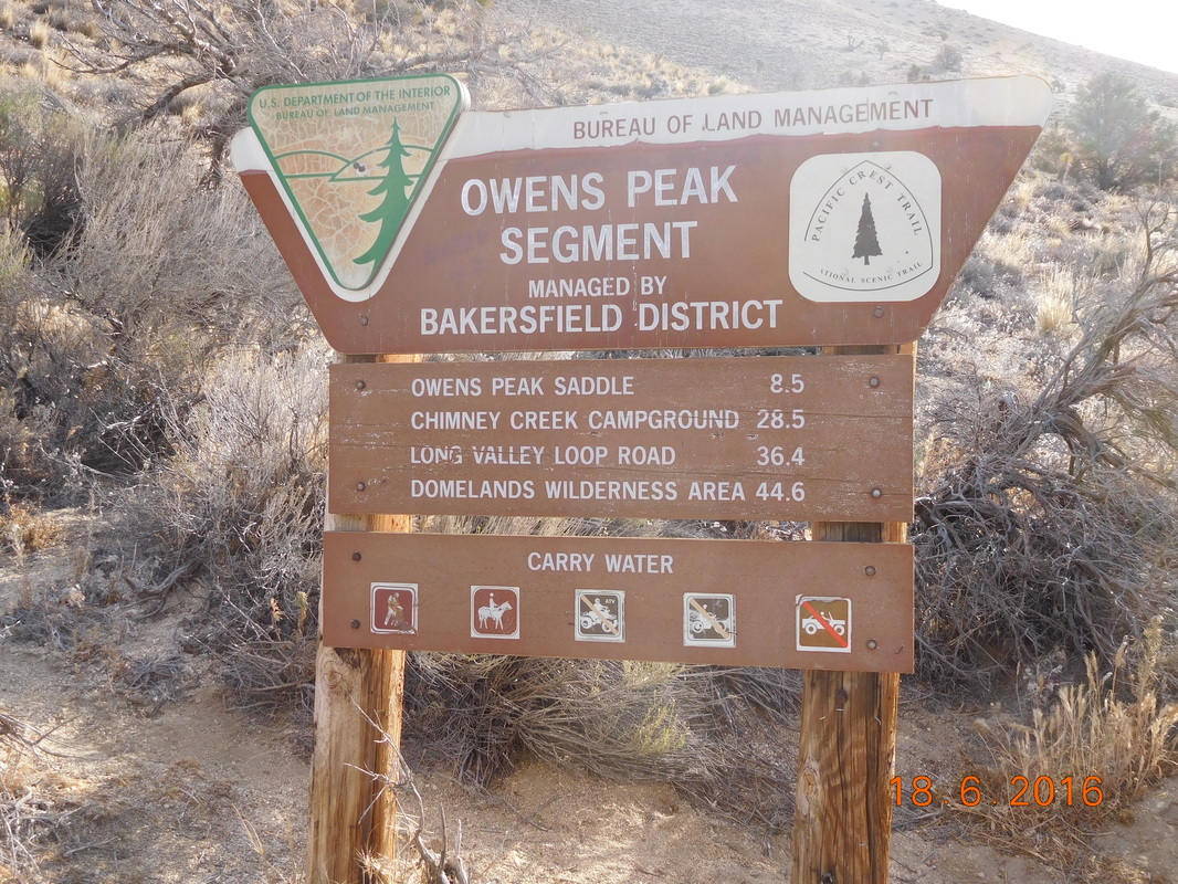
Campsite on Spanish Needle Creek to Fox Mill Spring

Last night Share Bear threatened waking up at 5:00 AM. I was pretty happy when I woke around 5:15 AM and didn't hear a stir, so I went back to sleep. When I woke at 6:10 AM however, she was in her tent packing up her things, so I knew I had to get up.

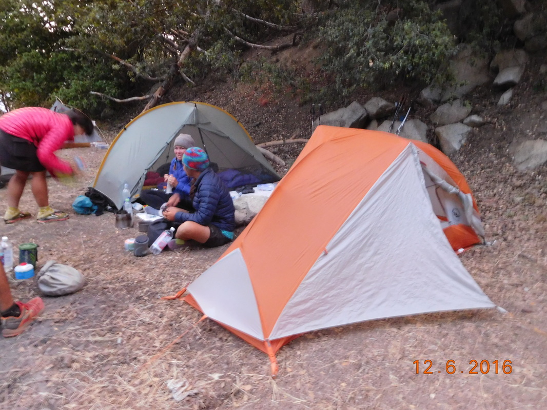
When I got out of the tent, all the other around us were still sleeping, so we packed out bags quietly and started eating breakfast when Cool Breeze appeared and joined us.

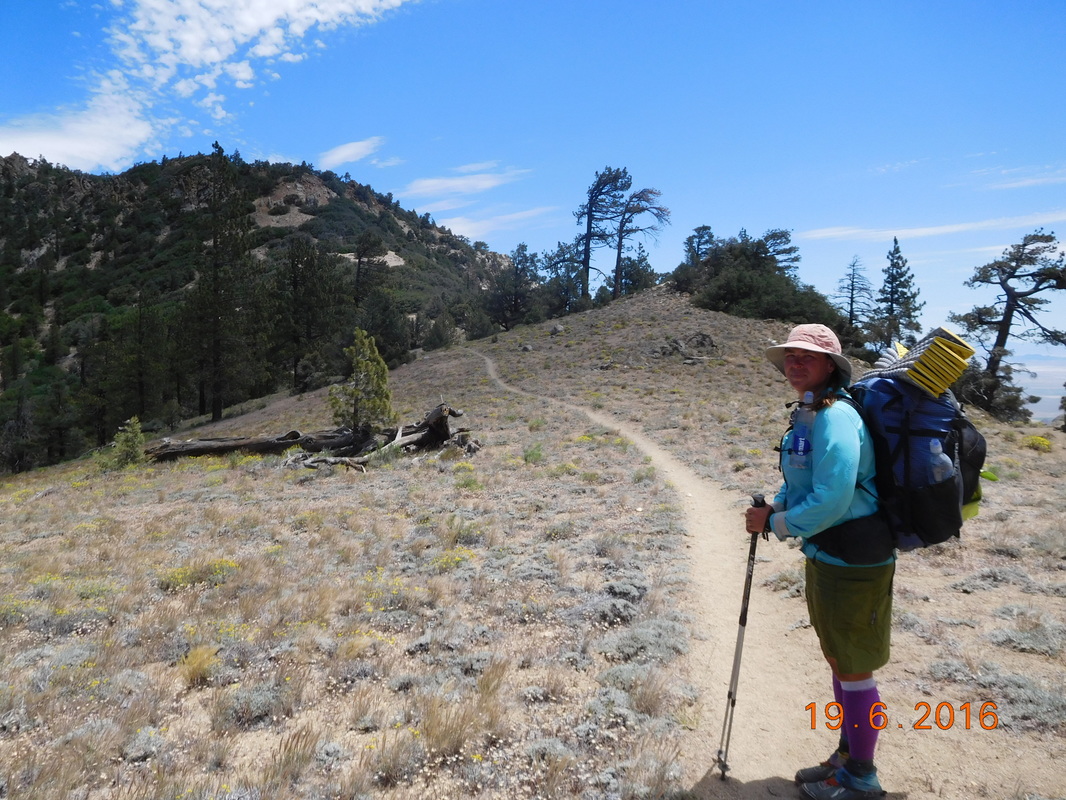
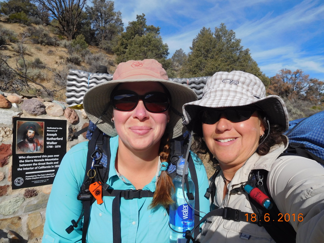
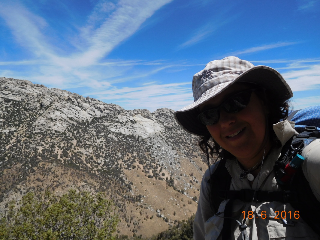
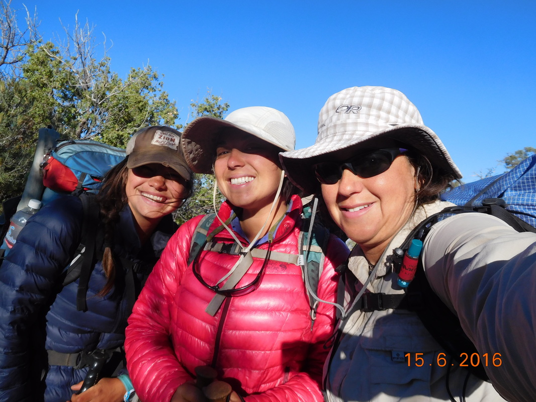
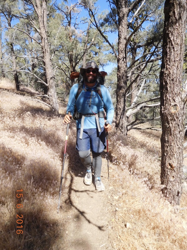
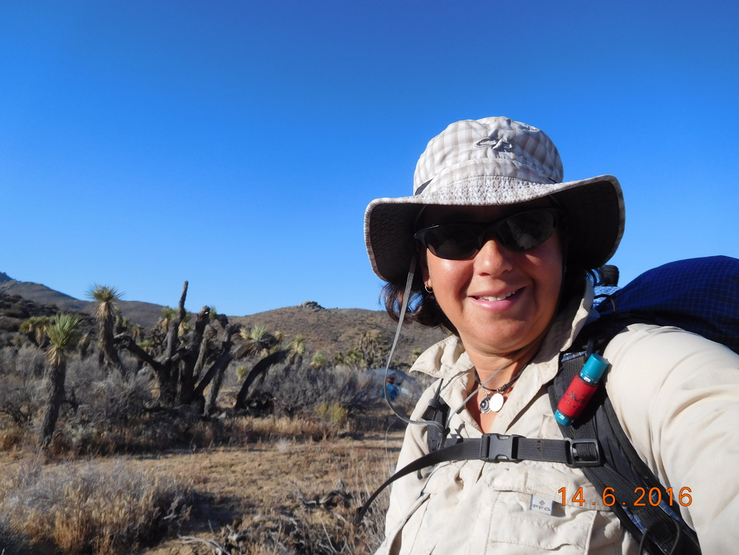
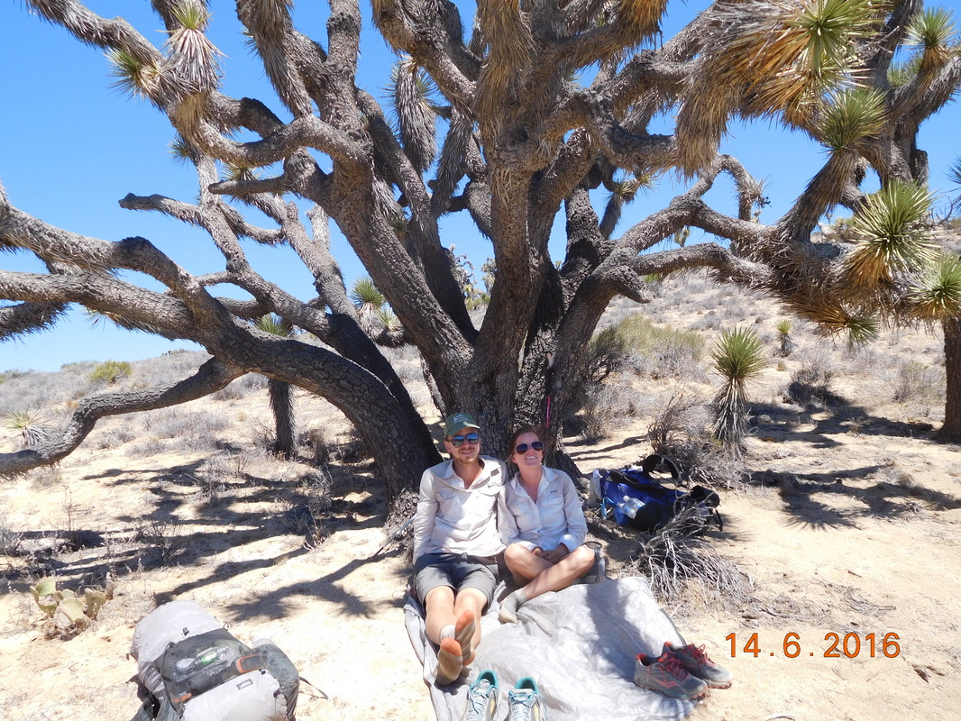
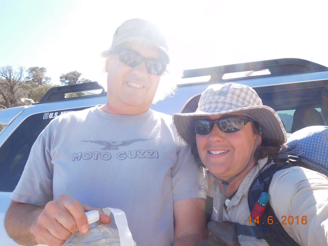
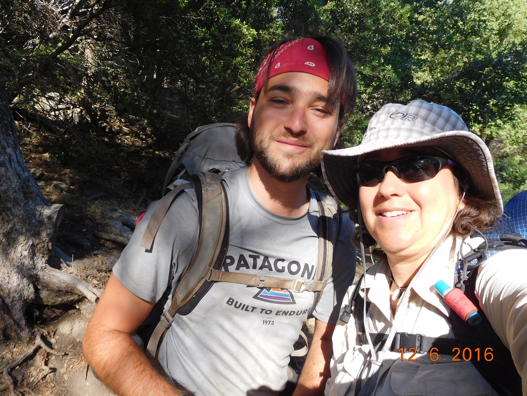
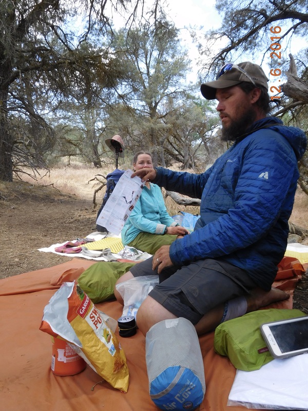
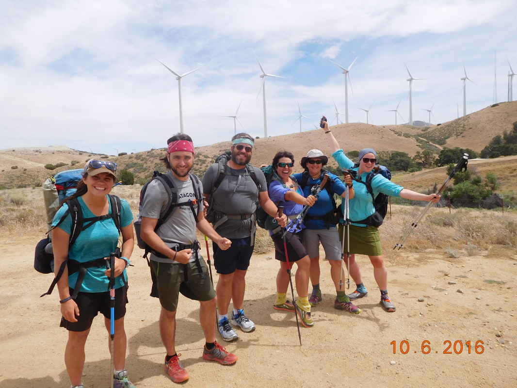
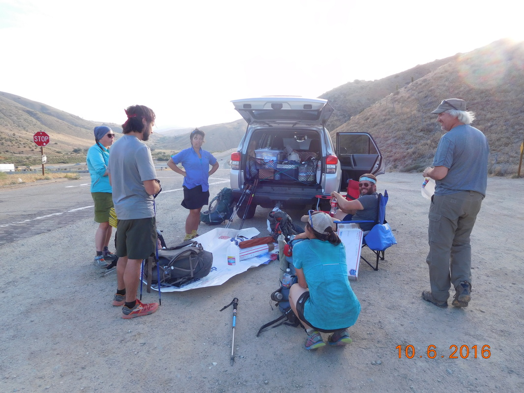
After breakfast at 7:19 AM, Share Bear and I were ready to hike, but Cool Breeze still had some packing up to do. We still invited him to join us in our "ready to hike" photo.
Picture
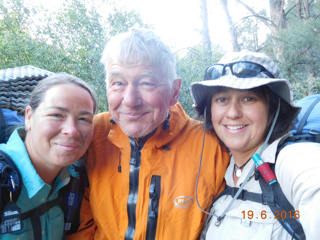
Share Bear, Cool Breeze, and I ready to start the day.
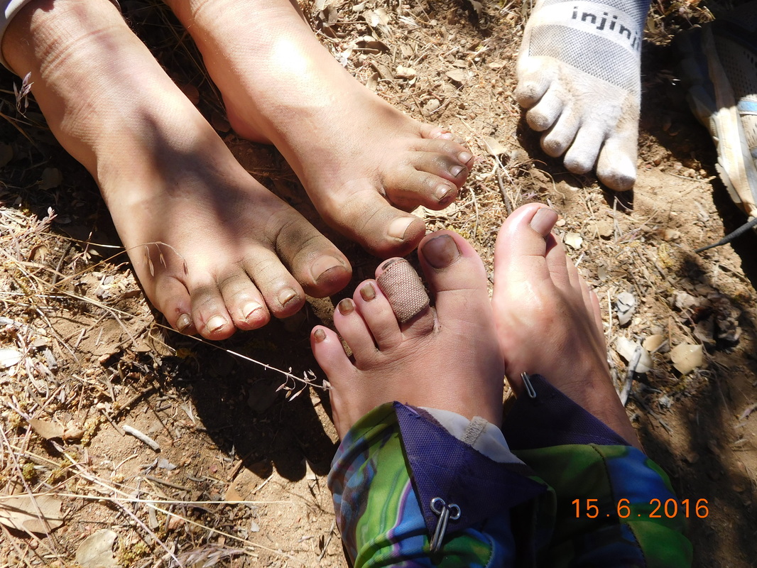
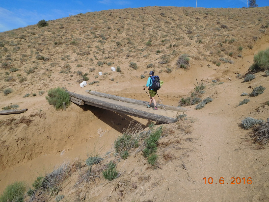
The first goal of the day is to reach the stream only 0.7 miles away to collect and filter some water. We arrived at the stream and hiked up. We met Cupcake who told us to walk up the stream till we see a water bottle in the stream that is helping to focus the water. Huh...we didn't understand, but walked up stream. We saw what would be a good place to collect water, but we didn't see the water bottle, so we kept walking and then saw what we were looking for:
Picture
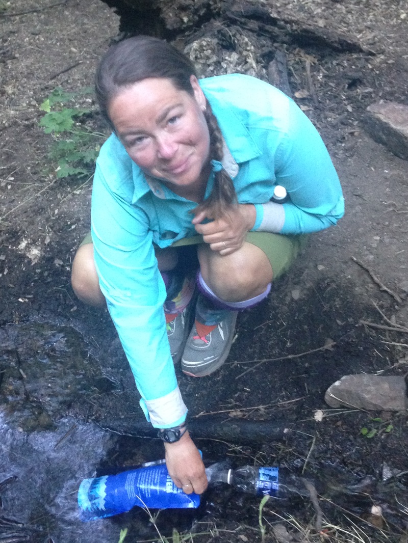
Share Bear collecting water through a water bottle in the stream
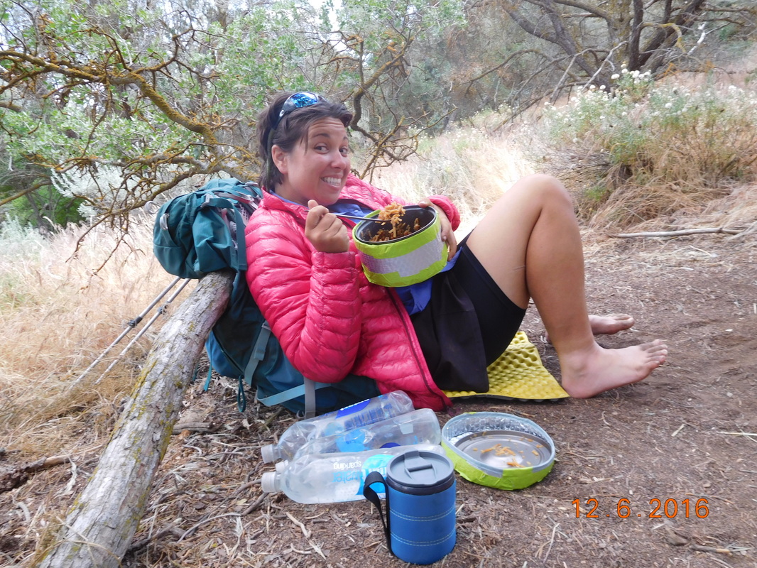
The next water source is just over 10 miles away, so I only filled 3 liters. While filtering Bear Bait showed up. We were quite surprised that she showed up since it meant that she woke up before 7:00 AM, but there she was. She did say that she left Max still sleeping, so at least one of them is keeping the tradition going today.

After we all had the water we needed we headed up the trail.
Picture
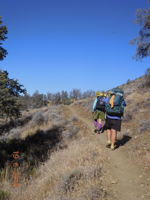
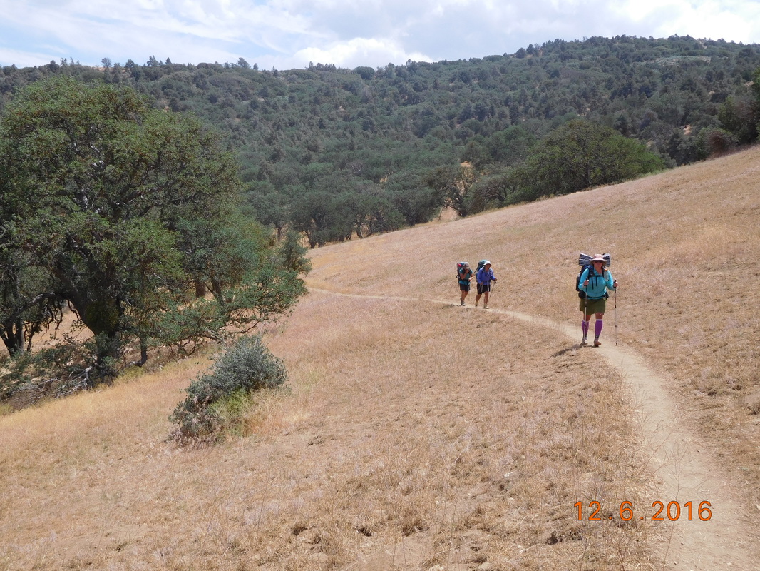
Share Bear and Bear Bait hiking.
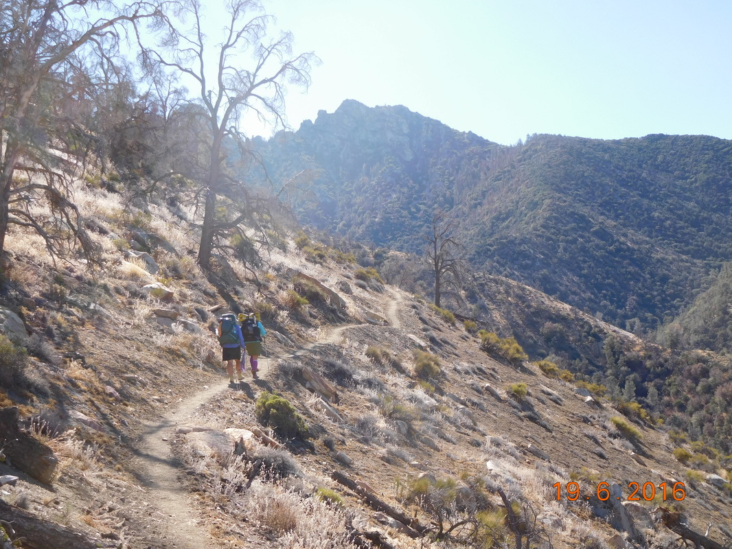
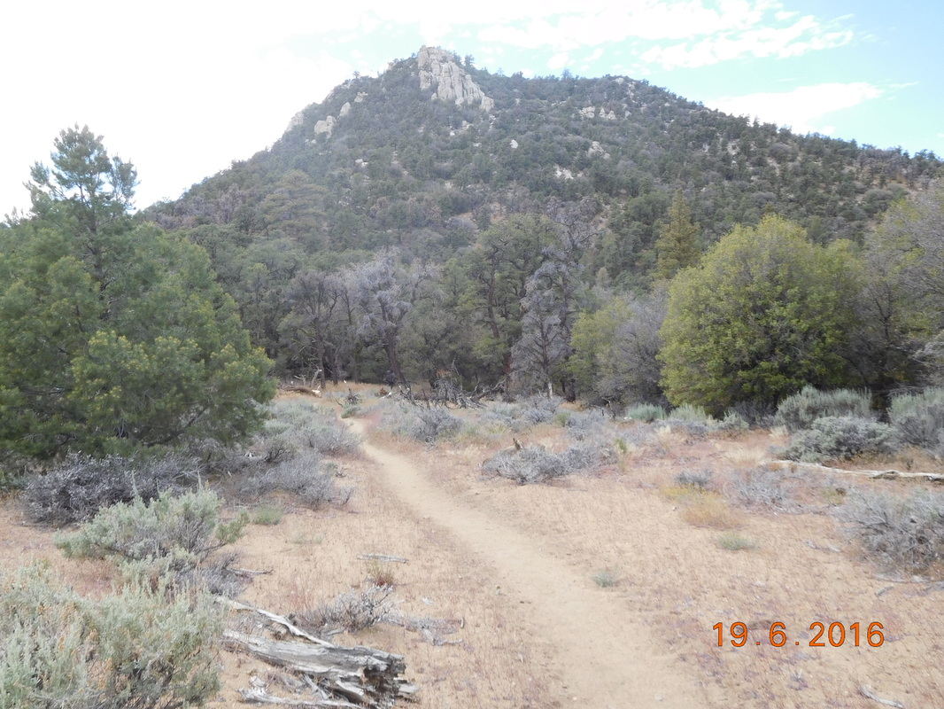
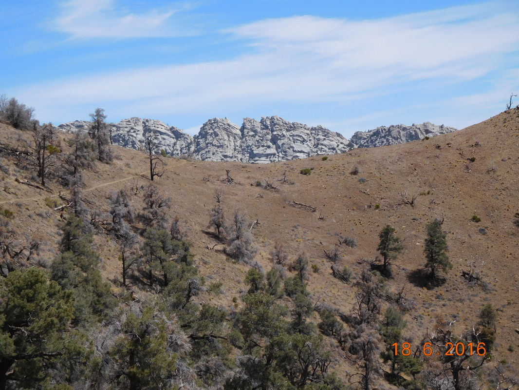
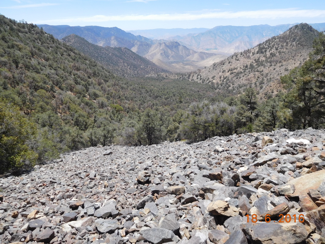
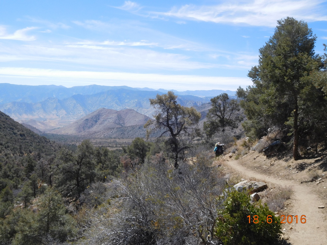
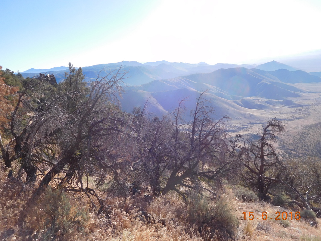
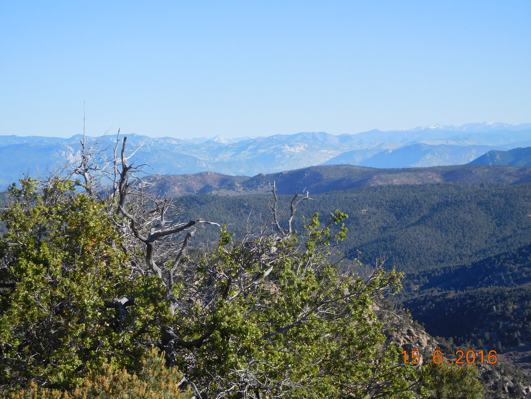
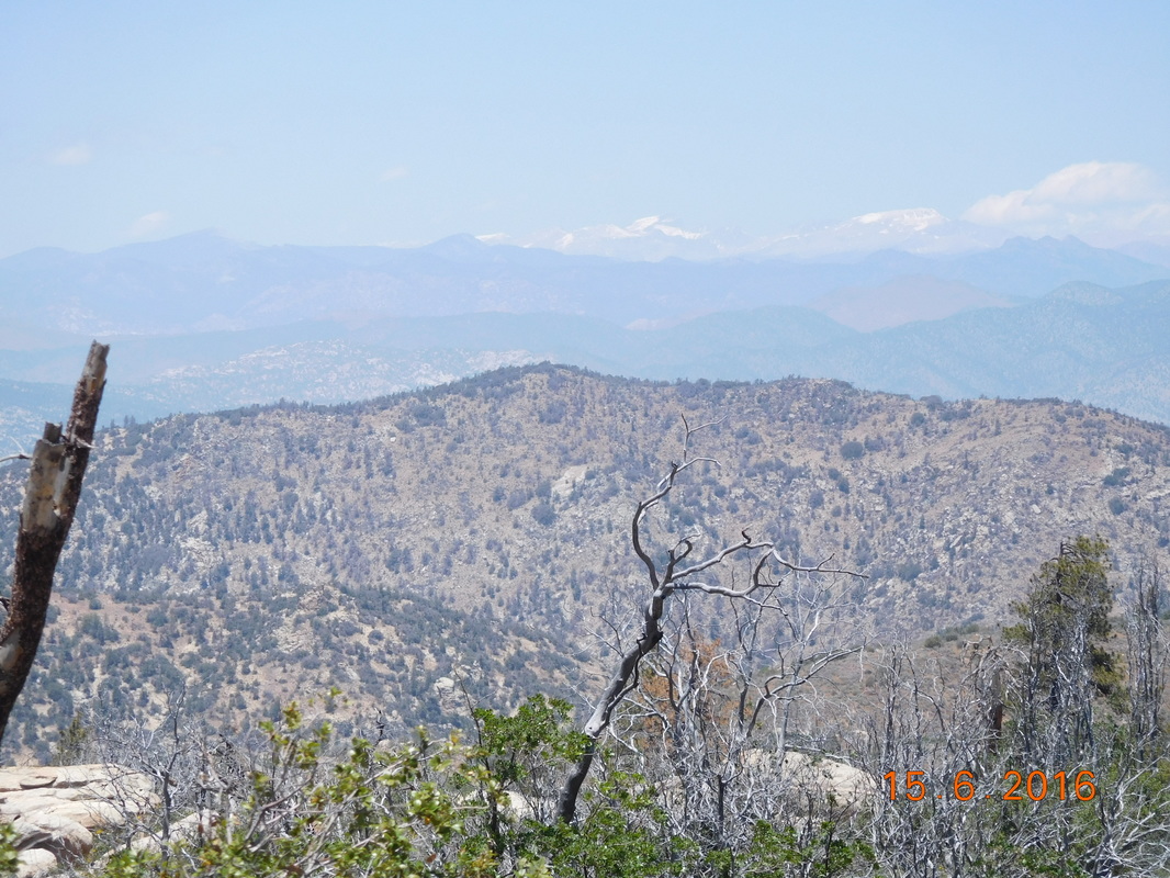
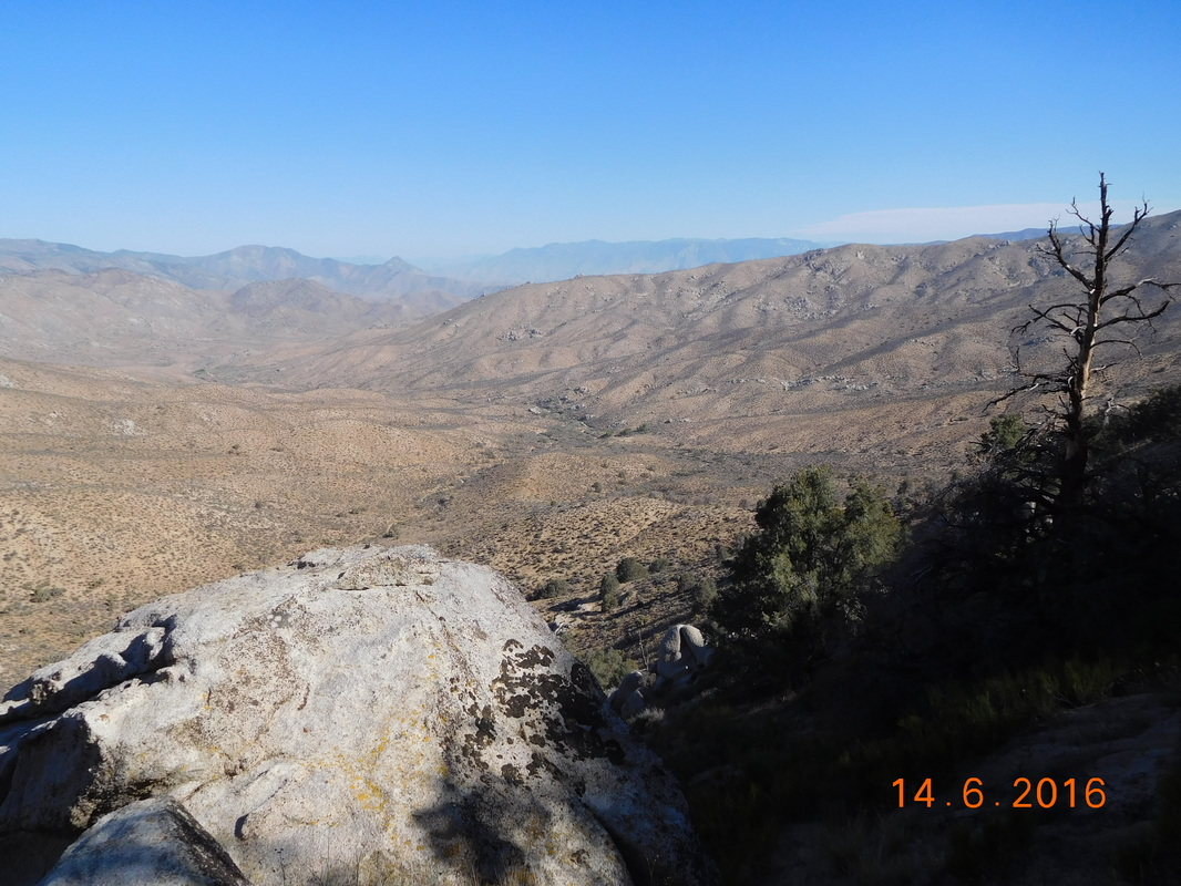
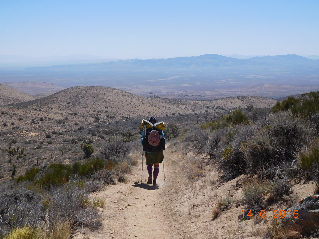
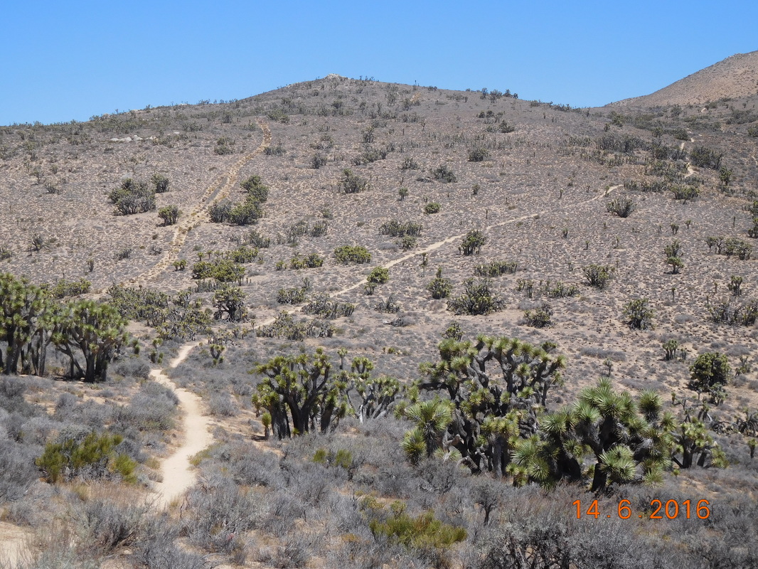
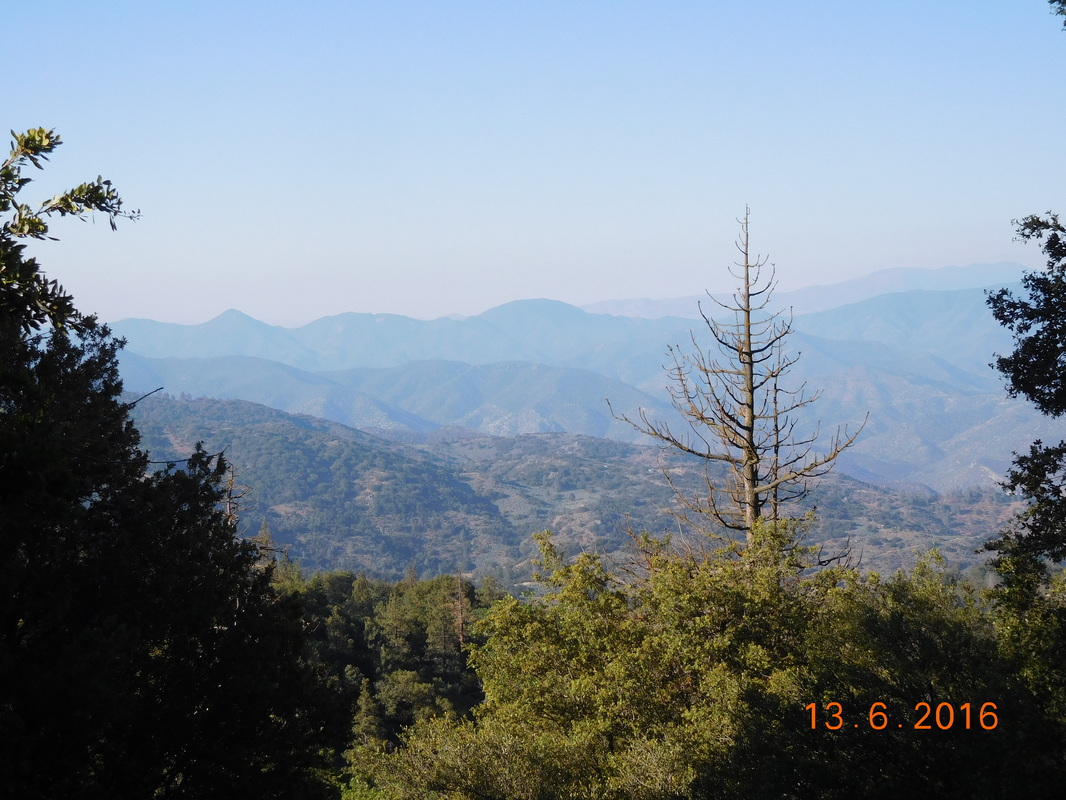
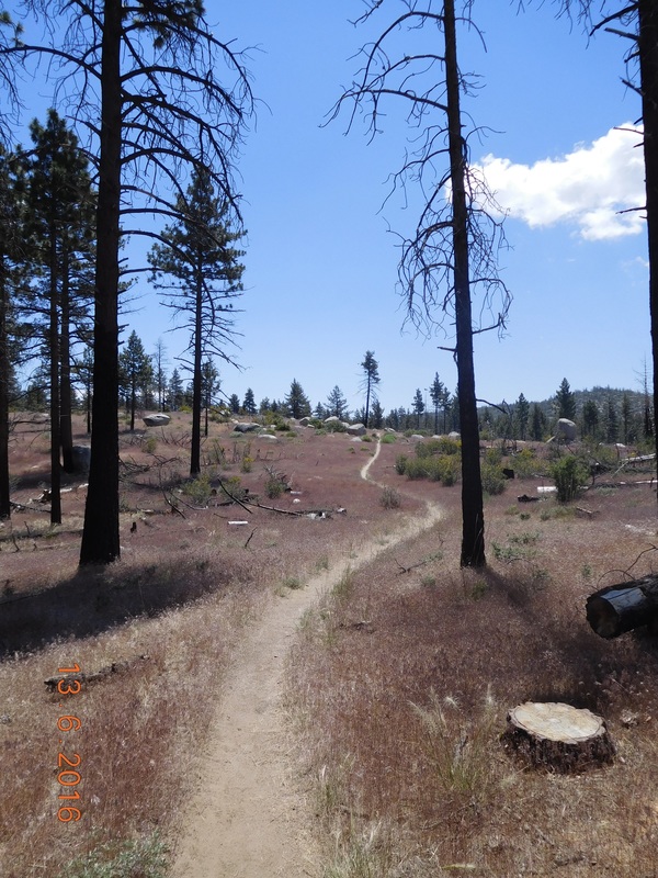
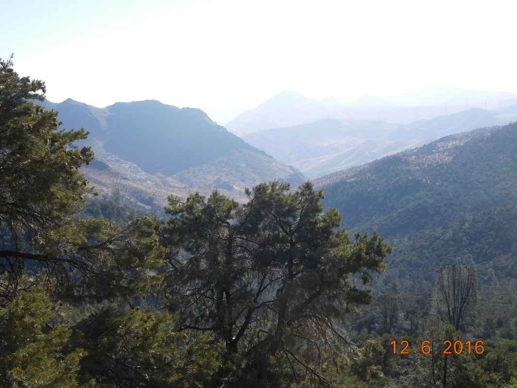
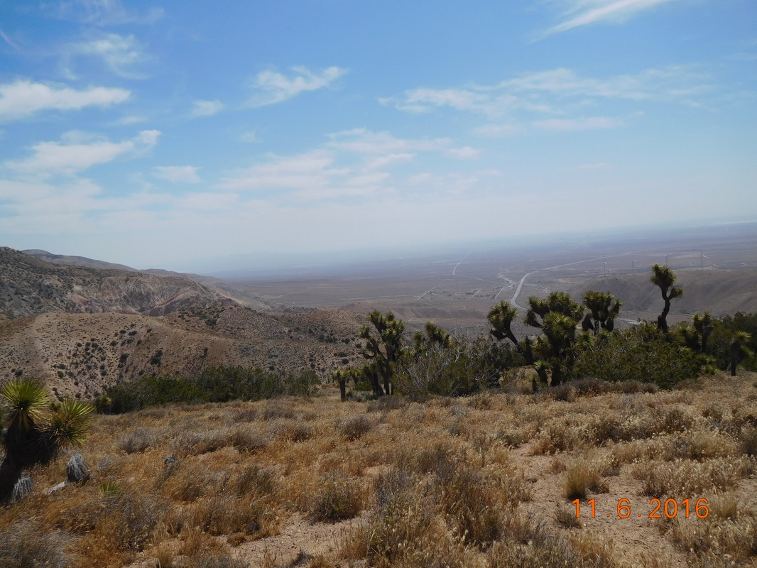
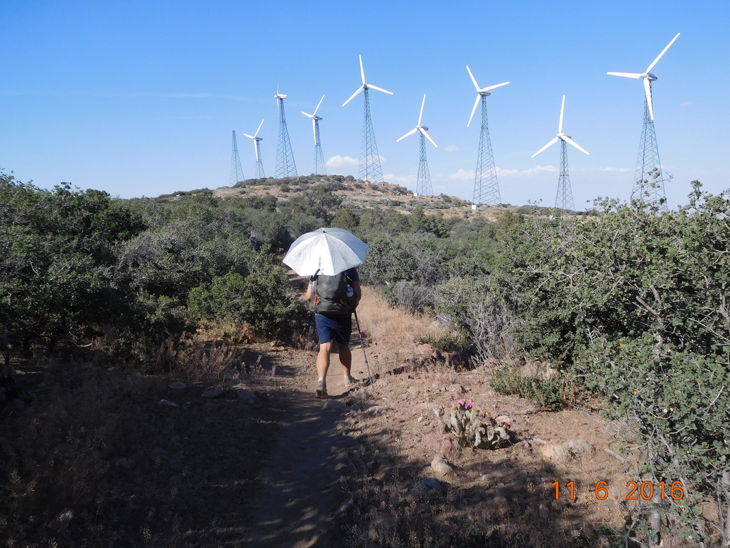
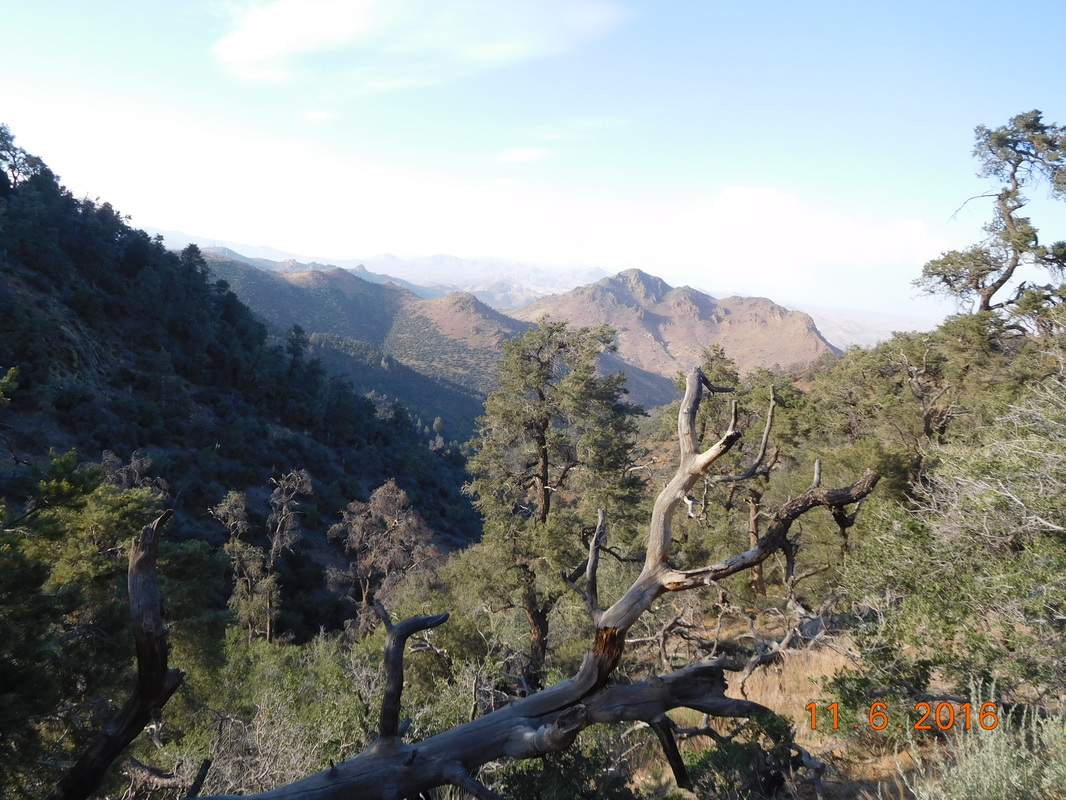
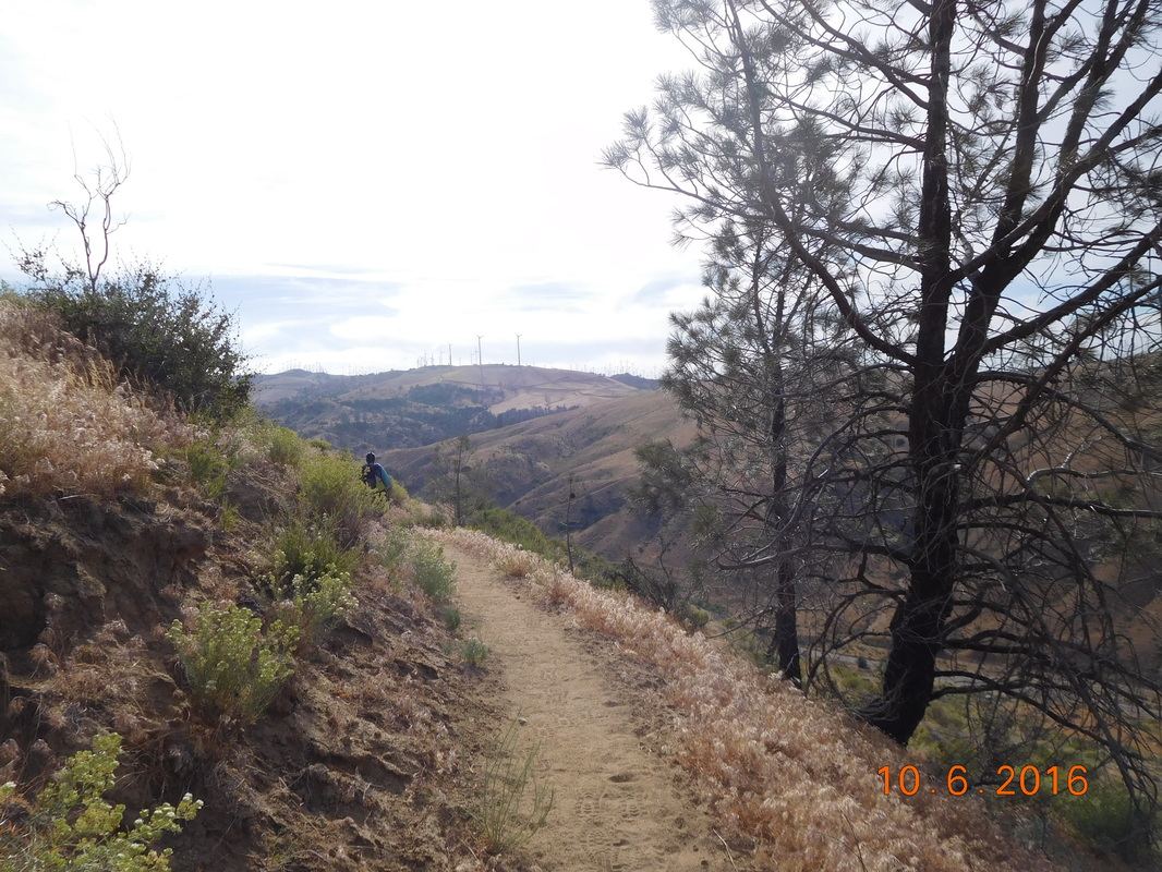
We hiked over a saddle and came upon a wonderful morning view:
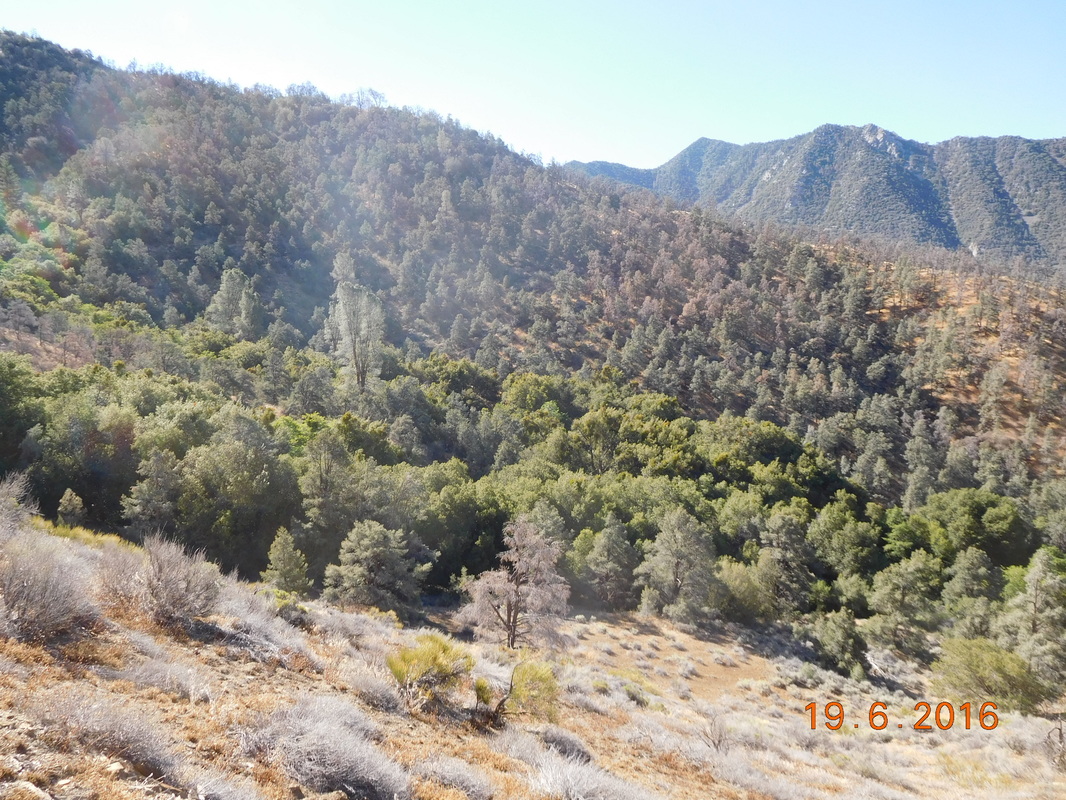
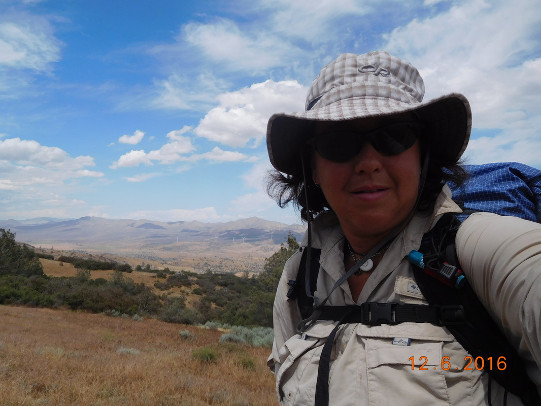
Picture
The morning view
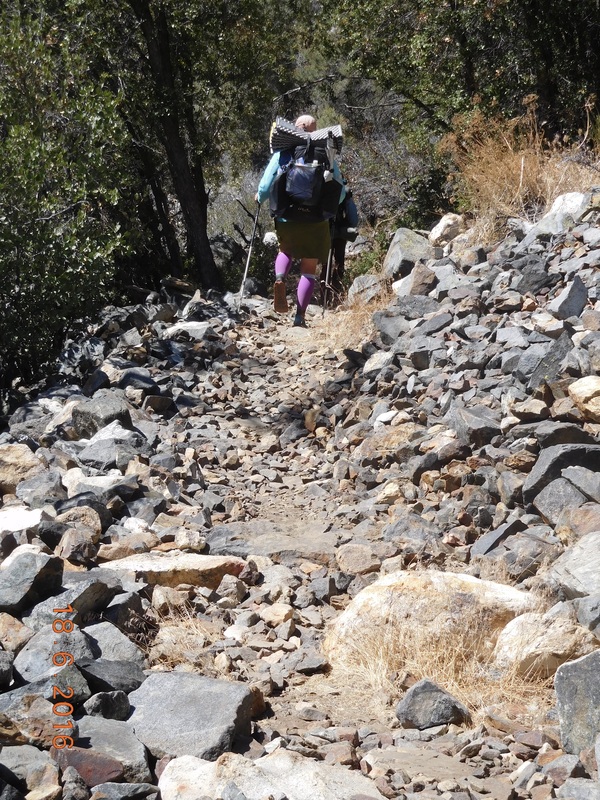
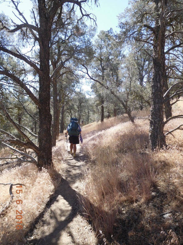
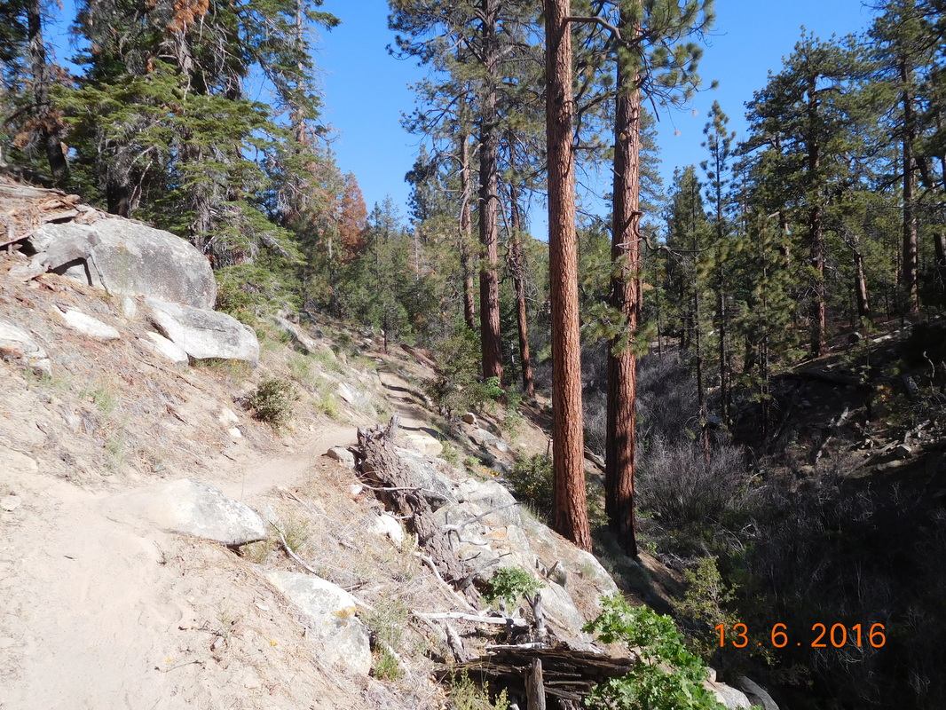
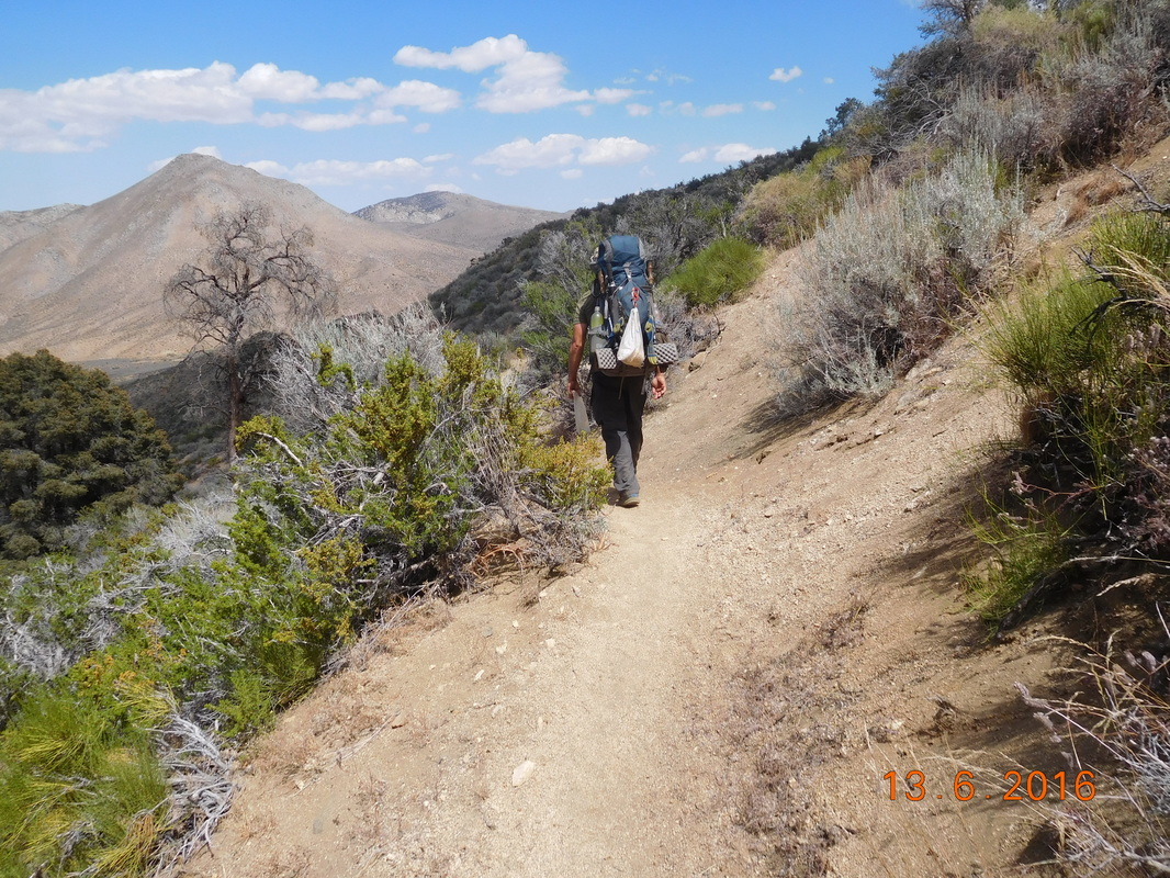
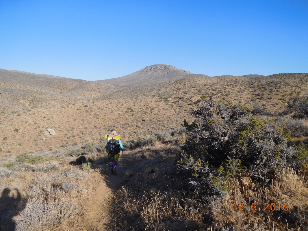
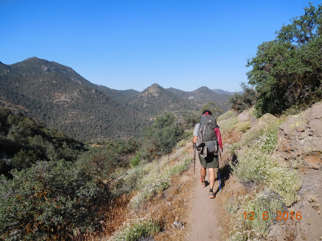
From where we filtered water it was a 4 mile climb that was pretty steep in places.
Picture
Share Bear and Bear Bait climbing the trail.
Picture
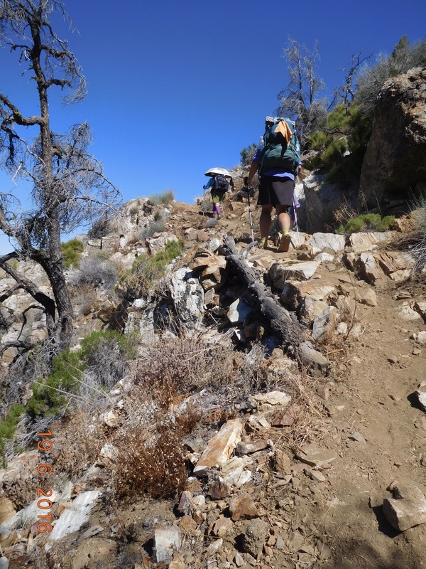
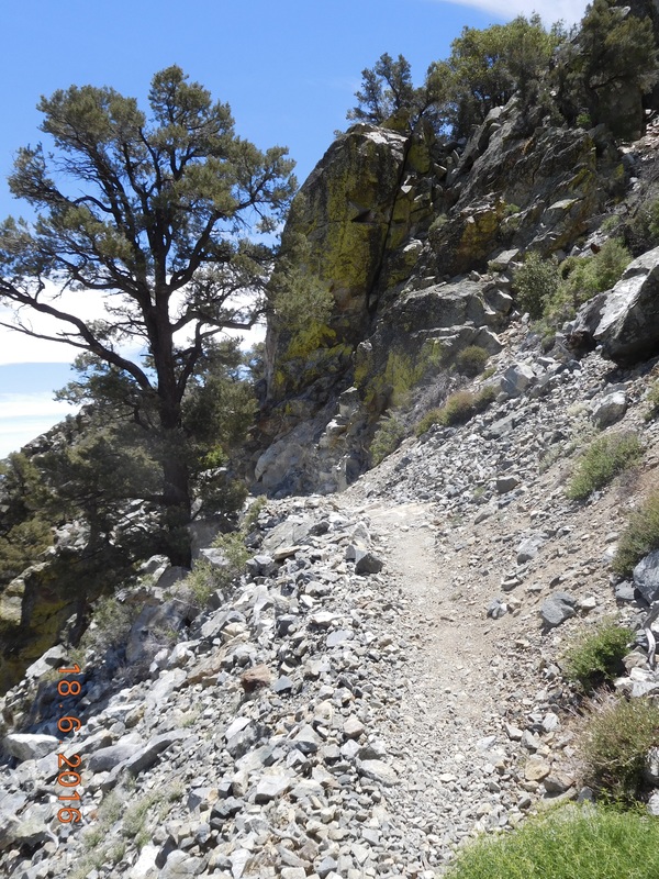
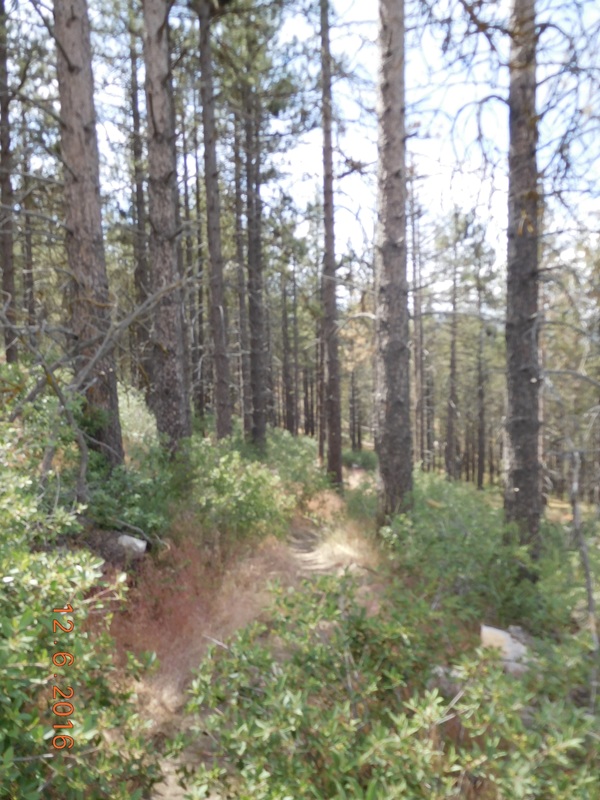
Pretty steep part of the trail.
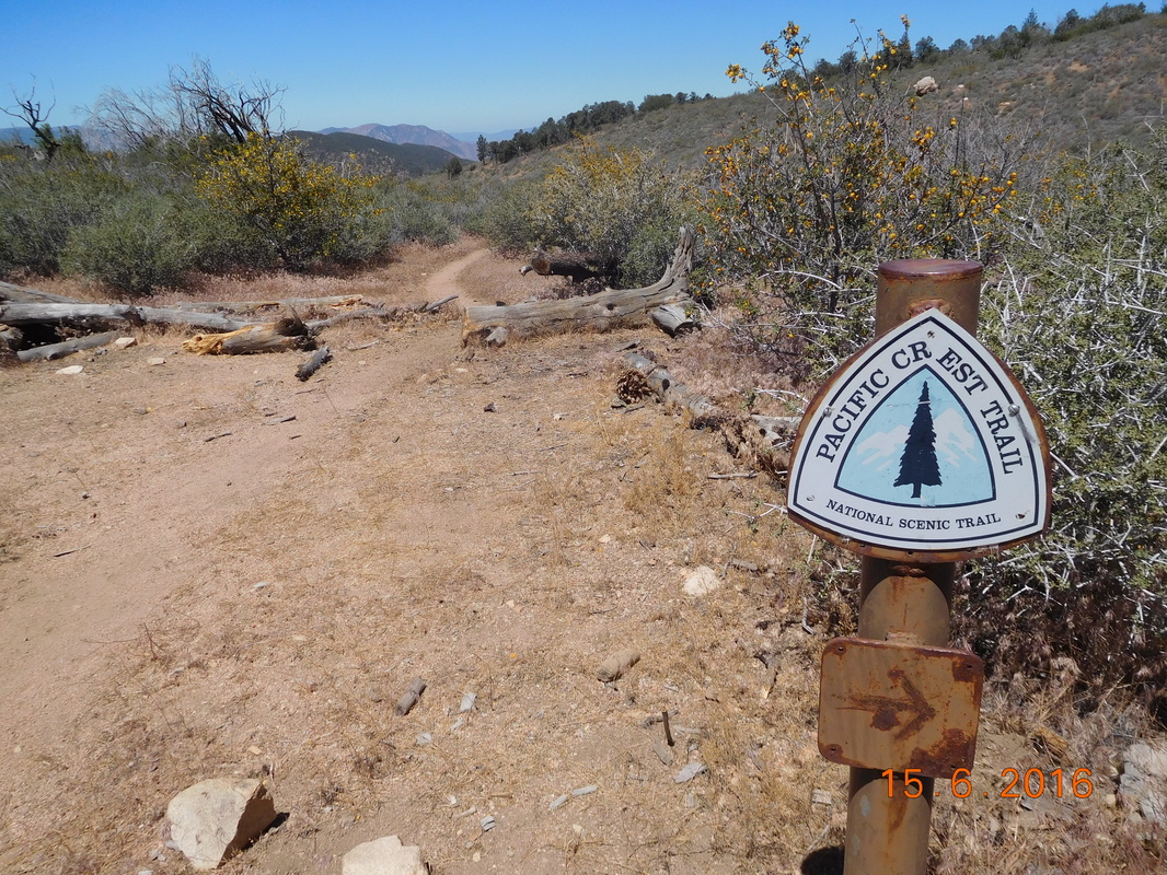
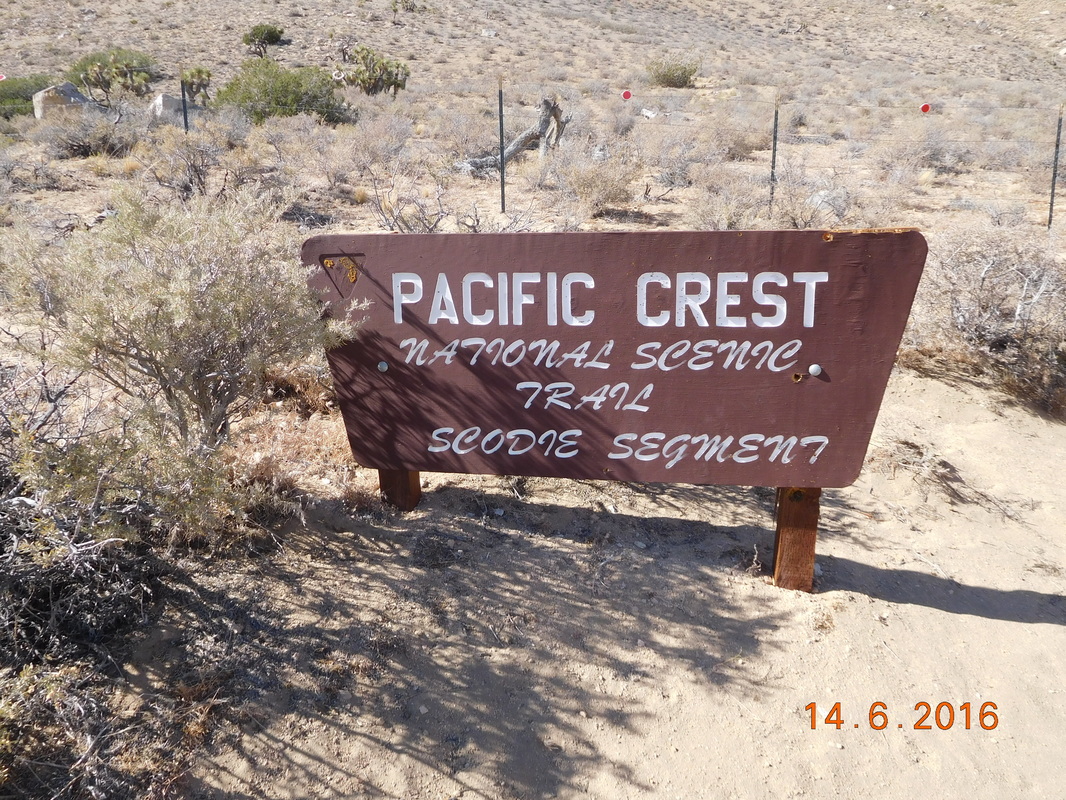
We just took it one step at a time and finally made it over the crest:
Picture
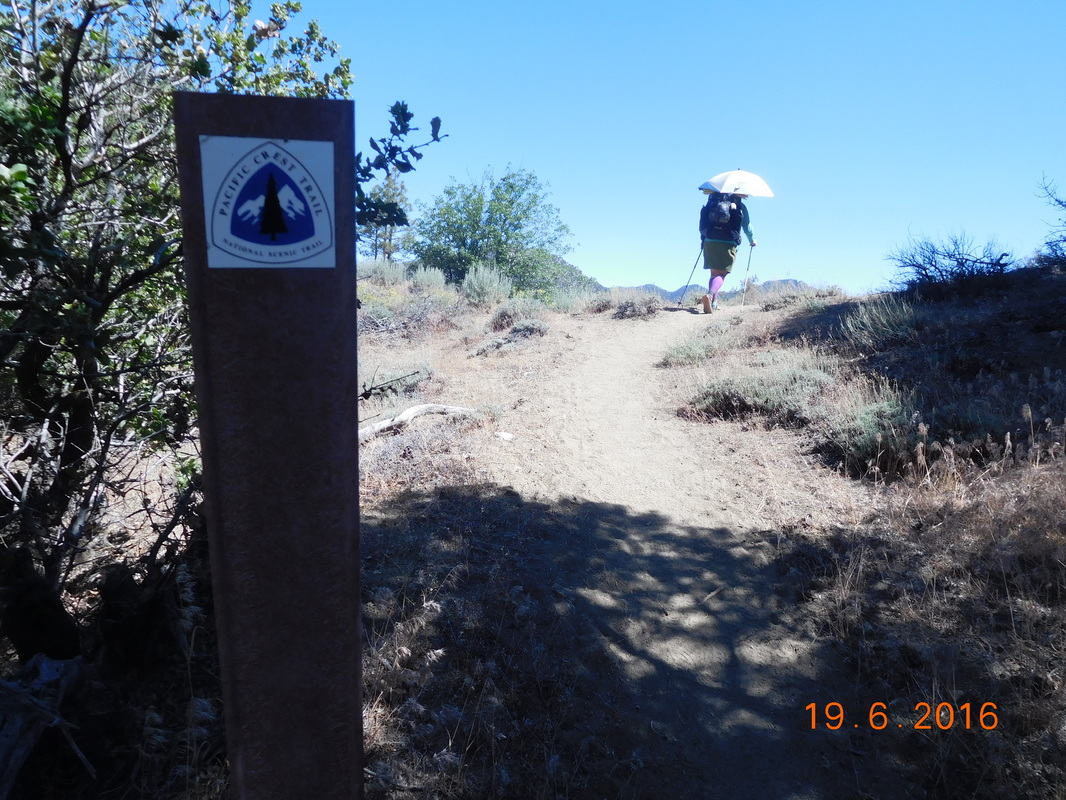
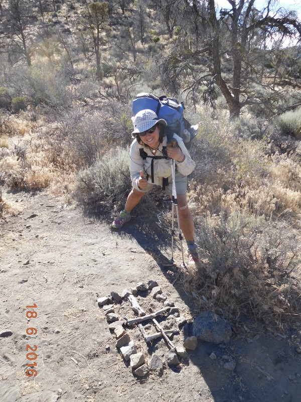
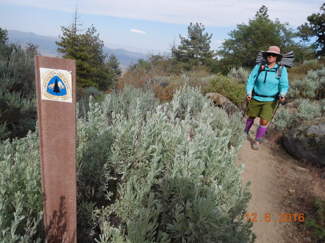
PCT sign of the day at the top of the climb.
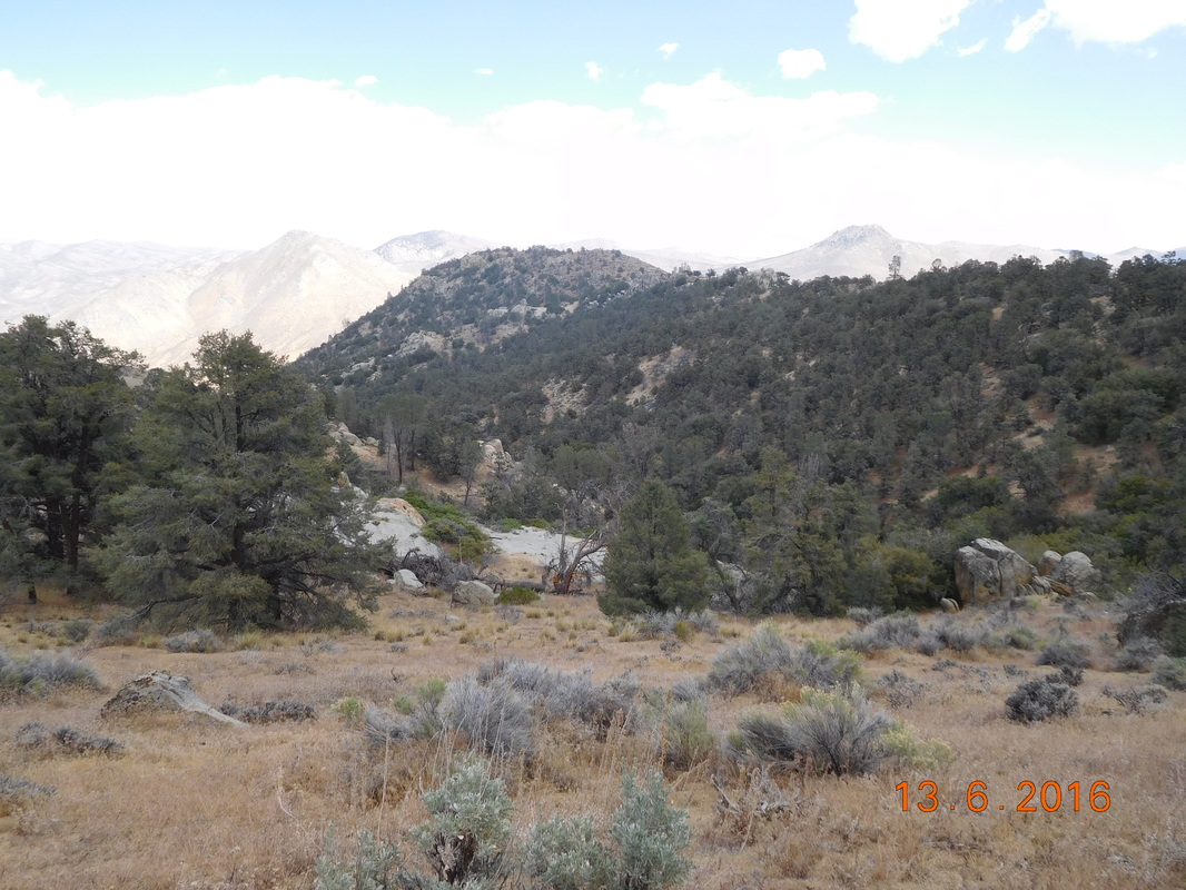
Luckily, right at the top was a great place to take a break, so of course we did.

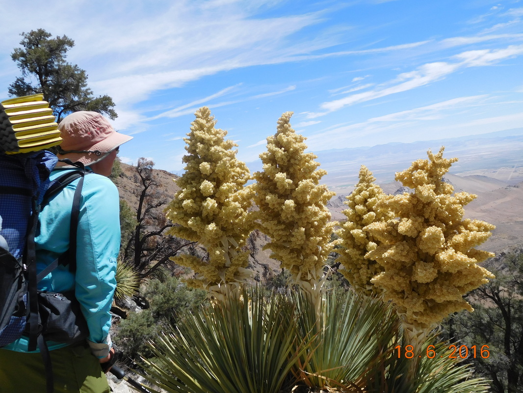
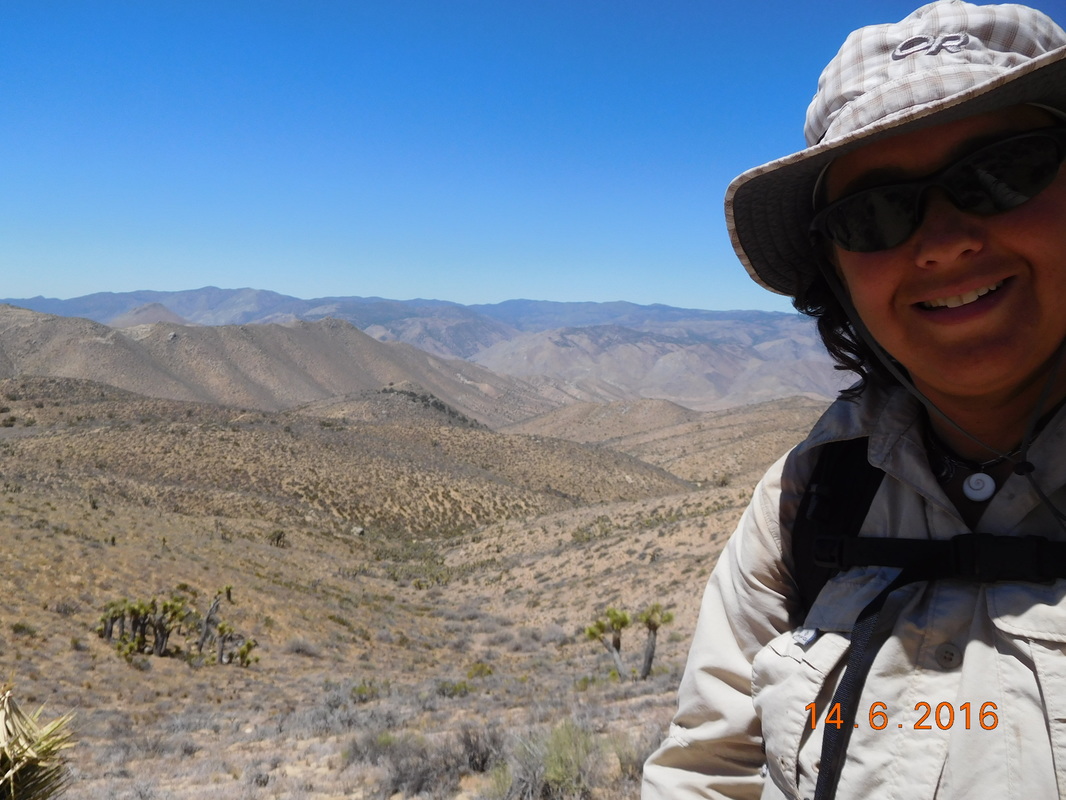
As we rested there, Faint Goat and her dog Maya showed up and took a break. Faint Goat hiked the PCT last year, but missed a couple of sections due to trail closures and injury. She is taking the time on her way from Oregon to Texas to hike some of these sections. We were a hit worries about a dog on the trail, but Faint Goat is a veterinarian, so knows how to take care of a dog.

Also while resting here Max showed up pretty hungry because Bear Bait had most of the food...oops. Faint Goat, Maya, Share Bear, and I decided to hike on 3.28 miles to a known campsite and a good place we figured for a lunch break. Max and Bear Bait will catch us there.
Picture
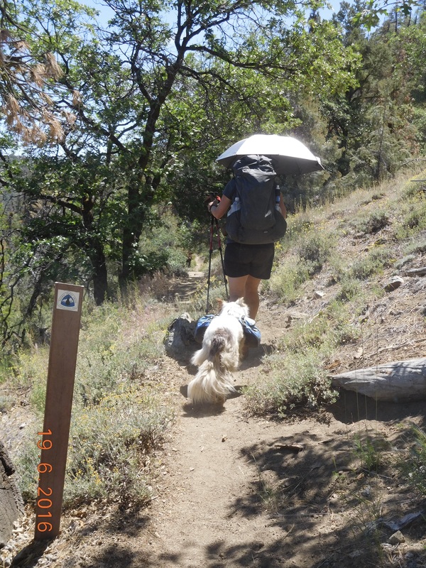
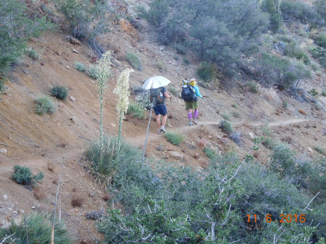
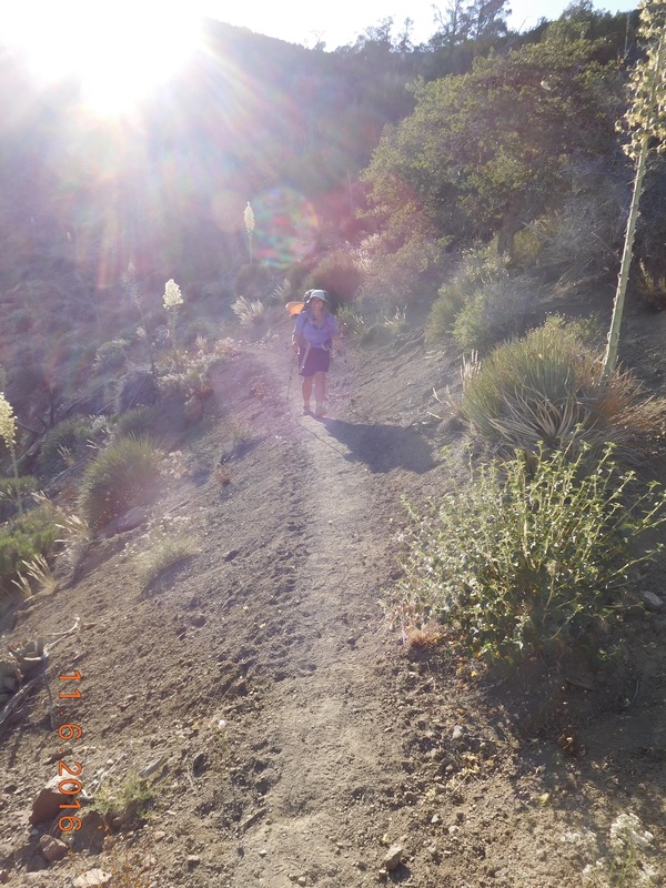
Hiking with Faint Goat and Maya.
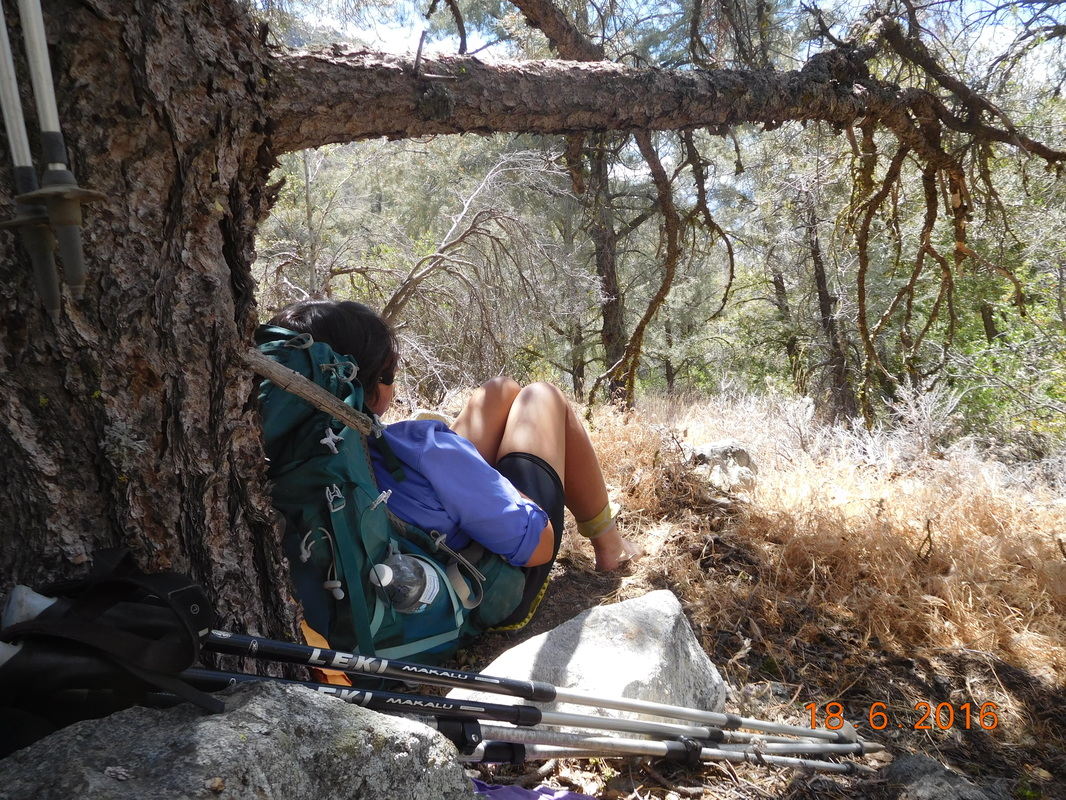
Faint Goat is a pretty strong hiker, so she took off leaving Share Bear and I behind. This stretch of the trail started gong down, but then began climbing again all the way to our planned break spot.
Picture
Trail continues to climb.
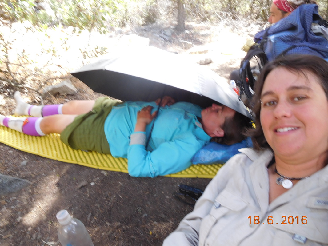
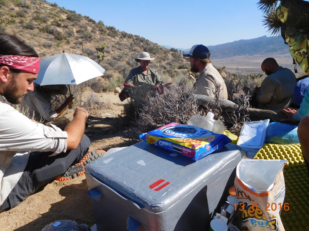
When we arrived Faint Goat and Maya was already set up under a tree. Also, Passport was there with his wife that decided to get back on trail at Walker Pass. She had come off for a while because the desert heat was getting to her. It was nice to see her back on trail.

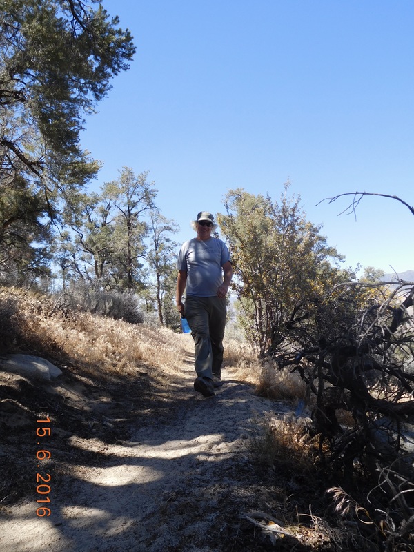
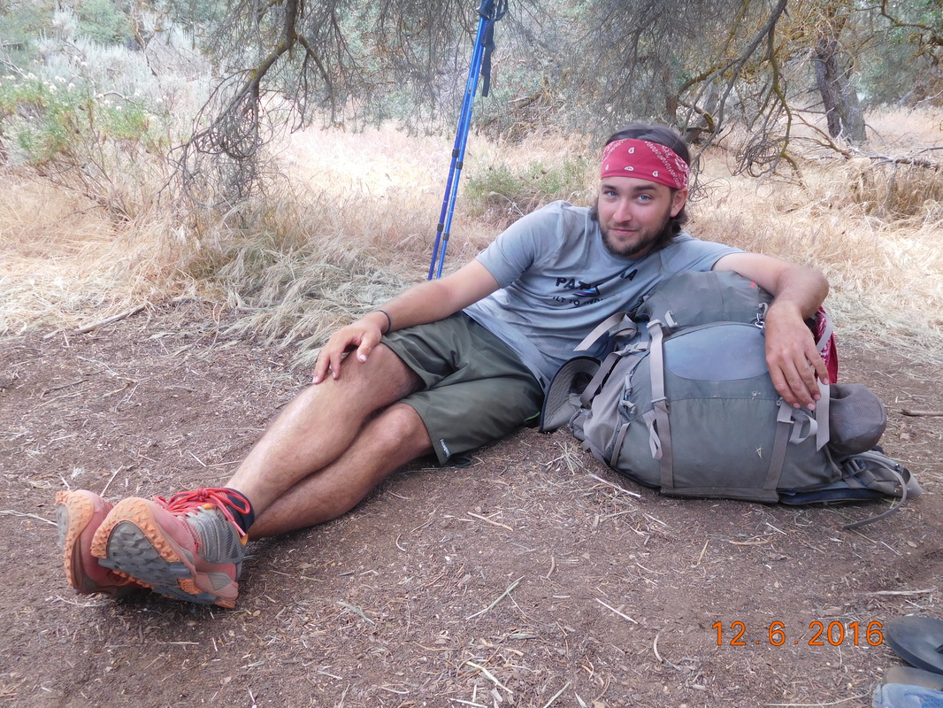
We found a tree and started eating lunch when Audible showed up. We left him and the campsite still sleeping and hadn't seen him all day. He said he came this far without taking a break...ah, to be young. Not long after, Max and Bear Bait arrived as well followed by Harry who we met yesterday. Harry is doing remarkably well considering the challenging terrain and that he just got on trail 2 days ago.

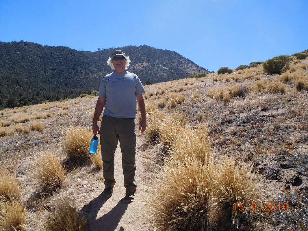
Just after 3:00 PM Max and Bear Bait decided to hit the trail. Max was running out of water and was anxious to get to the next water source that was 4.73 miles away. Share Bear and I soon followed.

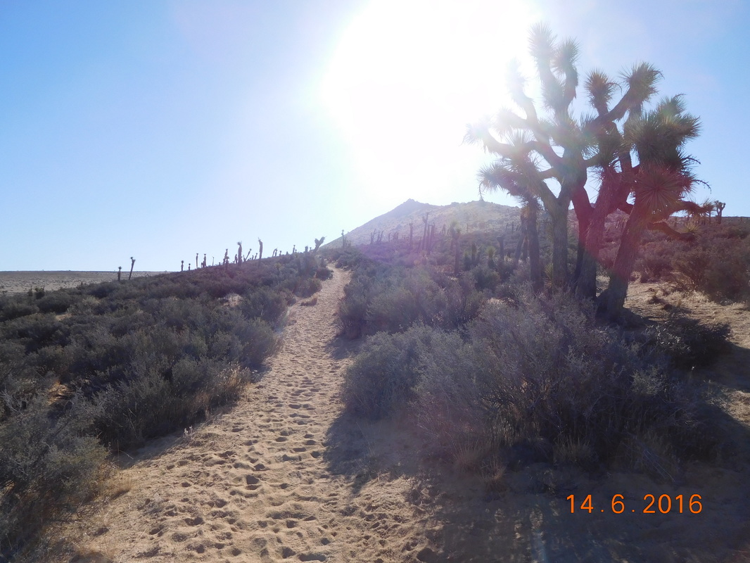
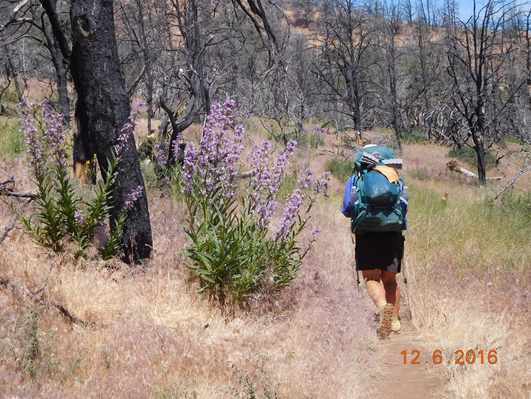
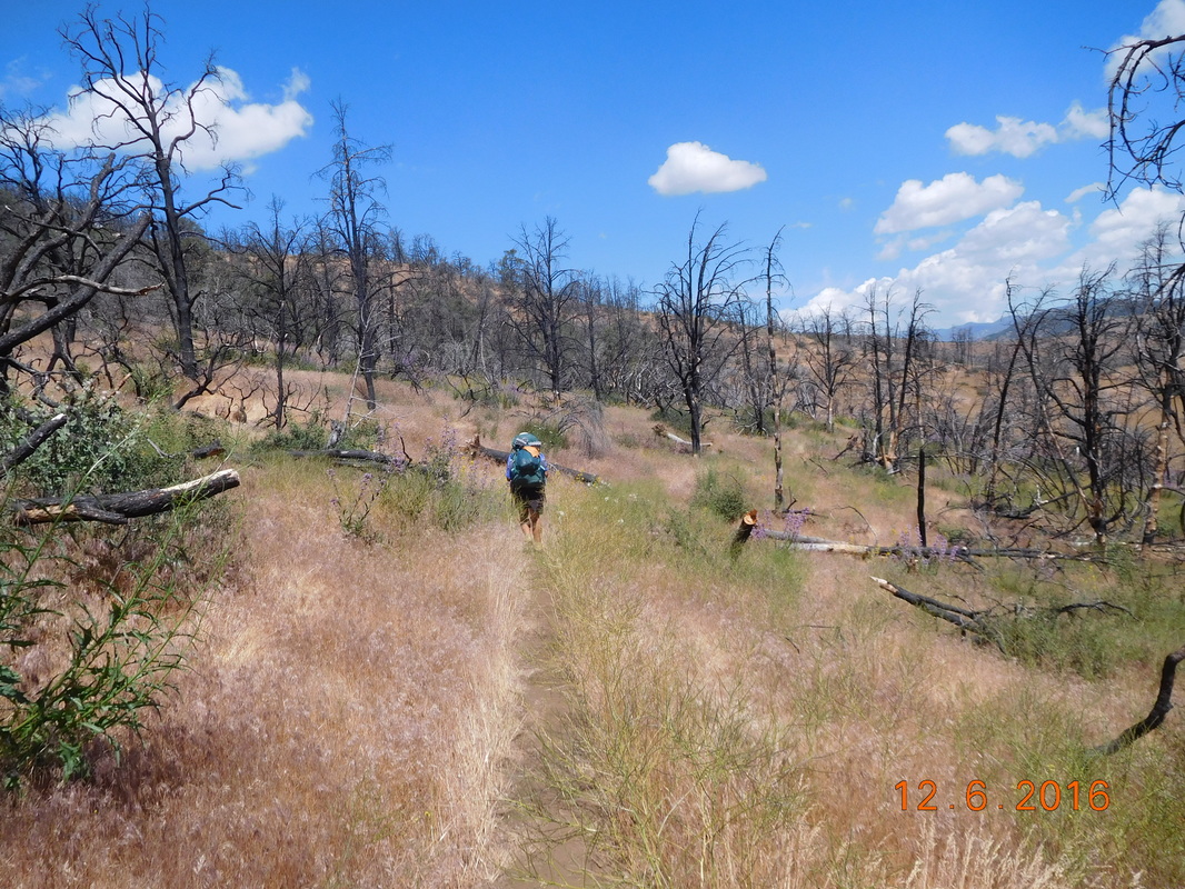
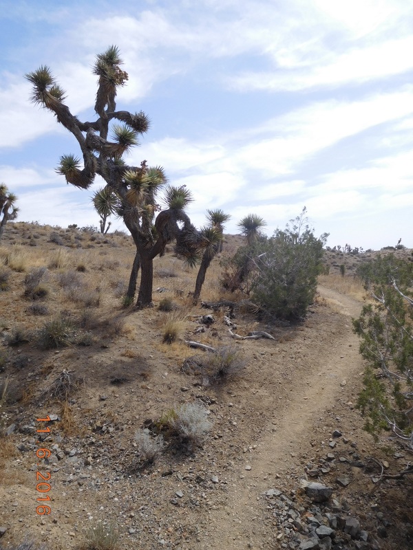
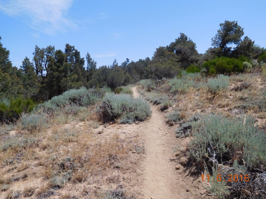
The trail to the stream 4.73 miles away was very pleasant with very little ups and a nice gradual down.
Picture
A nice, pleasant trail.
The only issue we were having was the heat. Share Bear's thermometer read 112 degrees. I don't know how accurate that is, but it felt pretty hot. We had water, but it was pretty warm.

When we arrived at the water source we both had one liter of warm water left and only 2.28 miles to go to a spring and our campsite for the night, but we decided to filter 1 liter each just to have a drink of cool water.

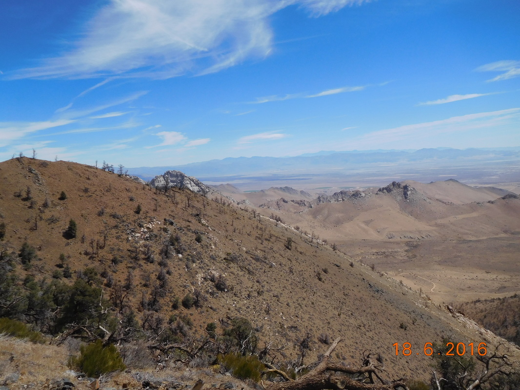
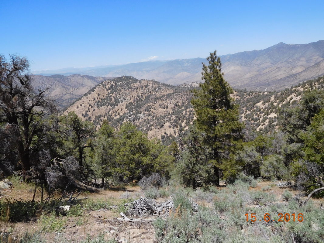
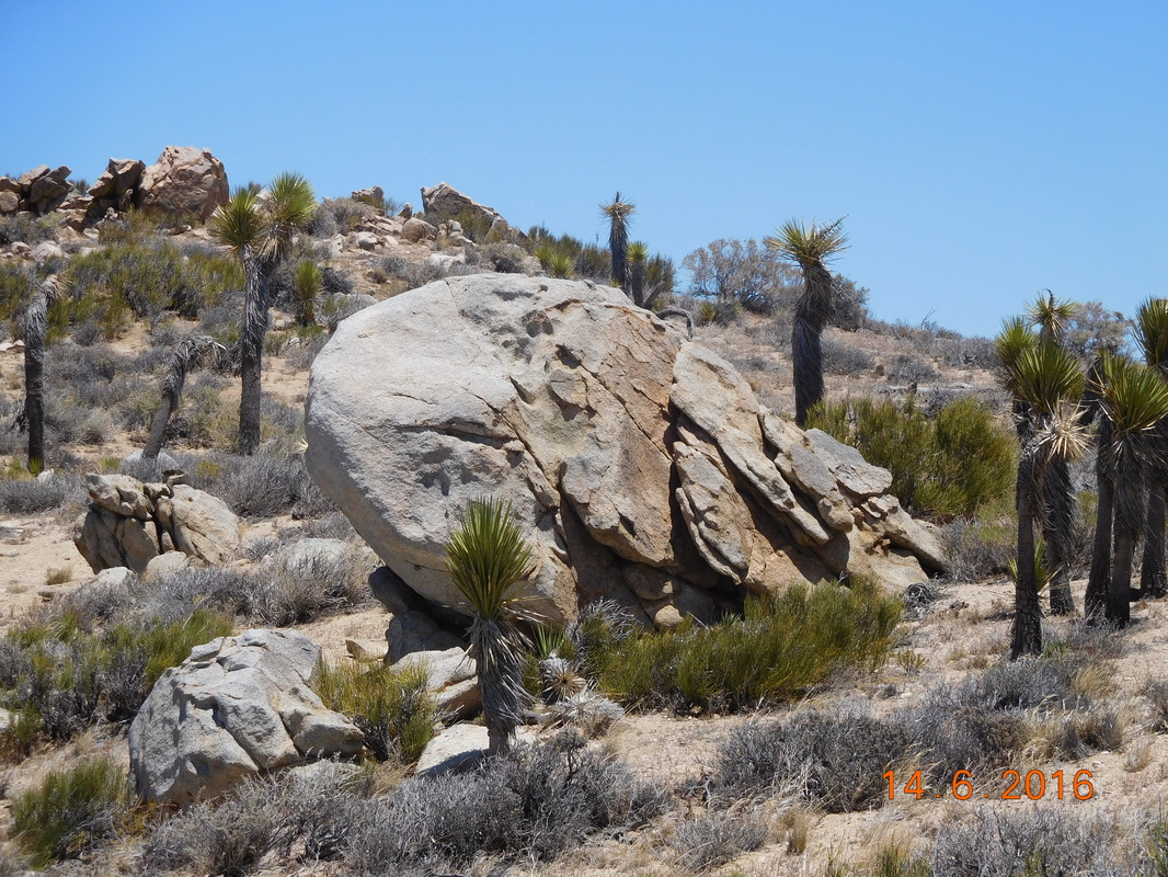
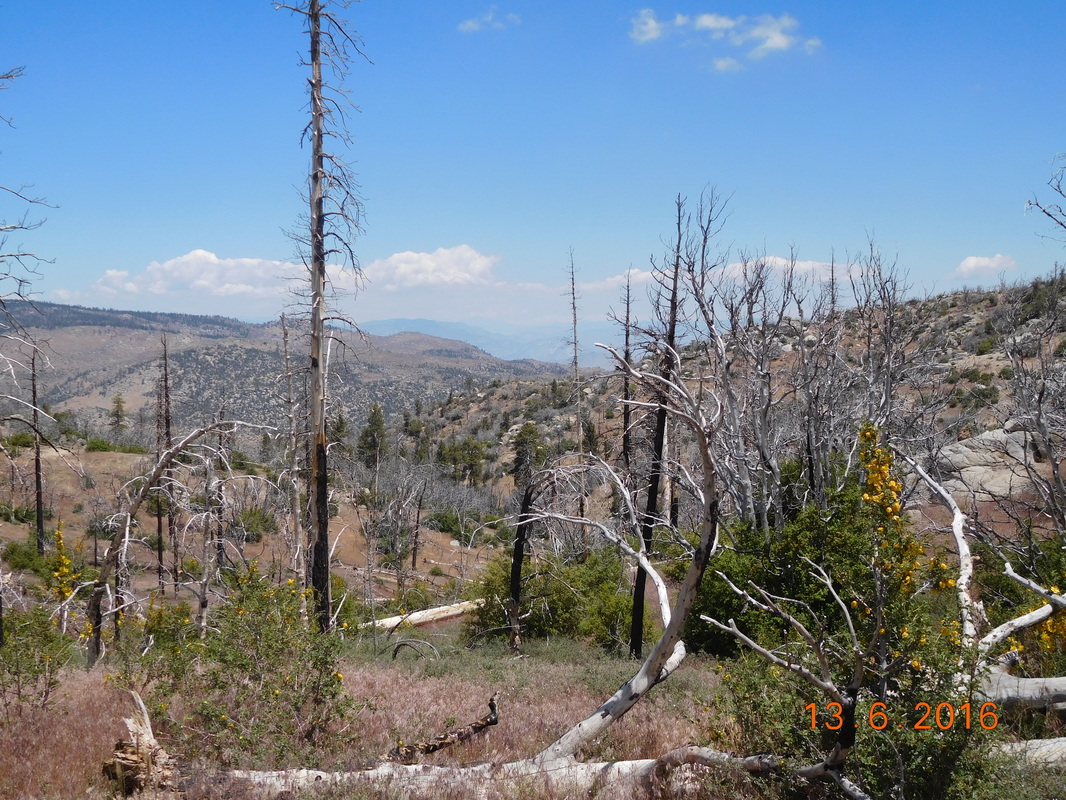
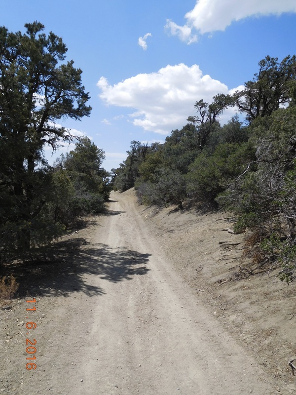
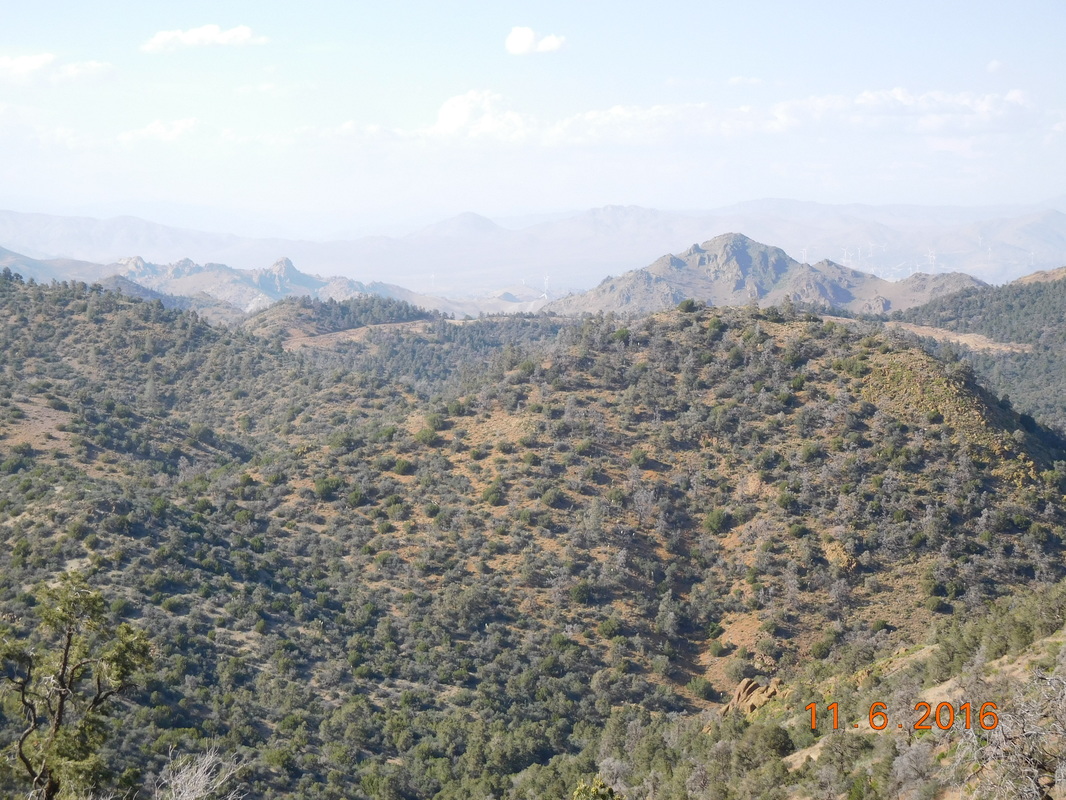
After the water was filtered, we drank it, and knew it was worth the stop. Especially since the next, and last 2.28 miles of the day was going to climb over 1000 feet.  Luckily the scenery remained beautiful:
Picture
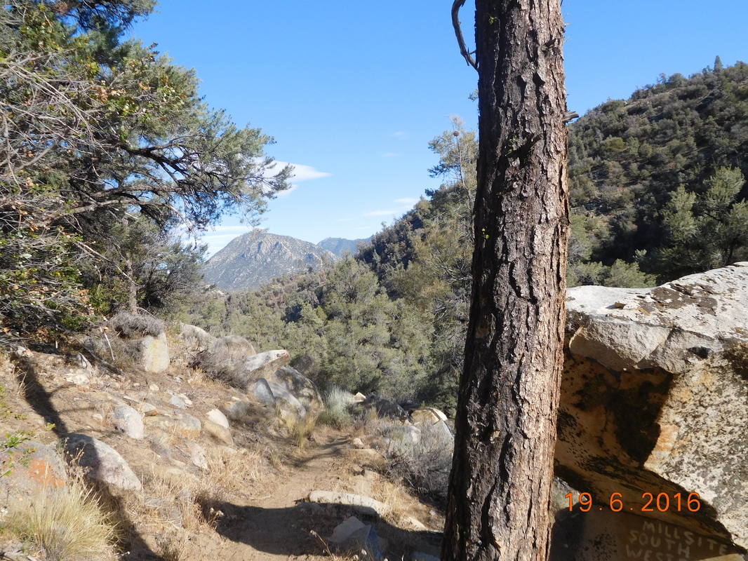
Looking back down the trail.
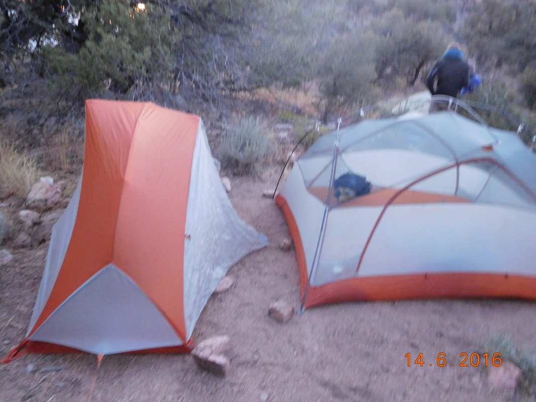
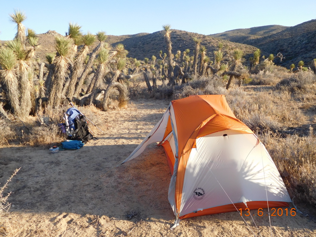
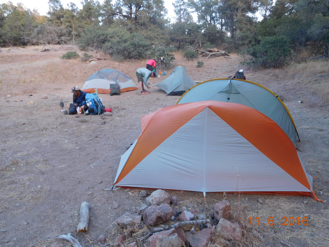
Finally, right at 6:30 PM we arrived at Fox Mill Spring and Max and Bear Bait. They had found a great place were we all could camp which was awesome. I quickly set up my tent and went down to filter a couple of liters of water to drink and cook dinner with.

As we were cooking dinner, Cupcake from this morning decided to join us for dinner. She ate and ran since she wanted to make the 20 miles to Kennedy Meadows by 2:00 PM tomorrow.

After dinner I got in my tent and then Faint Goat and Maya showed up and decided to stay here for the night as well.

Since we are still 20 miles from Kennedy Meadows, we decided to hike 15 miles tomorrow leaving the last 5 miles for Tuesday morning.  I know that Tim will be upset that I won't make it there tomorrow night, but it isn't worth pushing and then being really tired when entering the Sierra.  

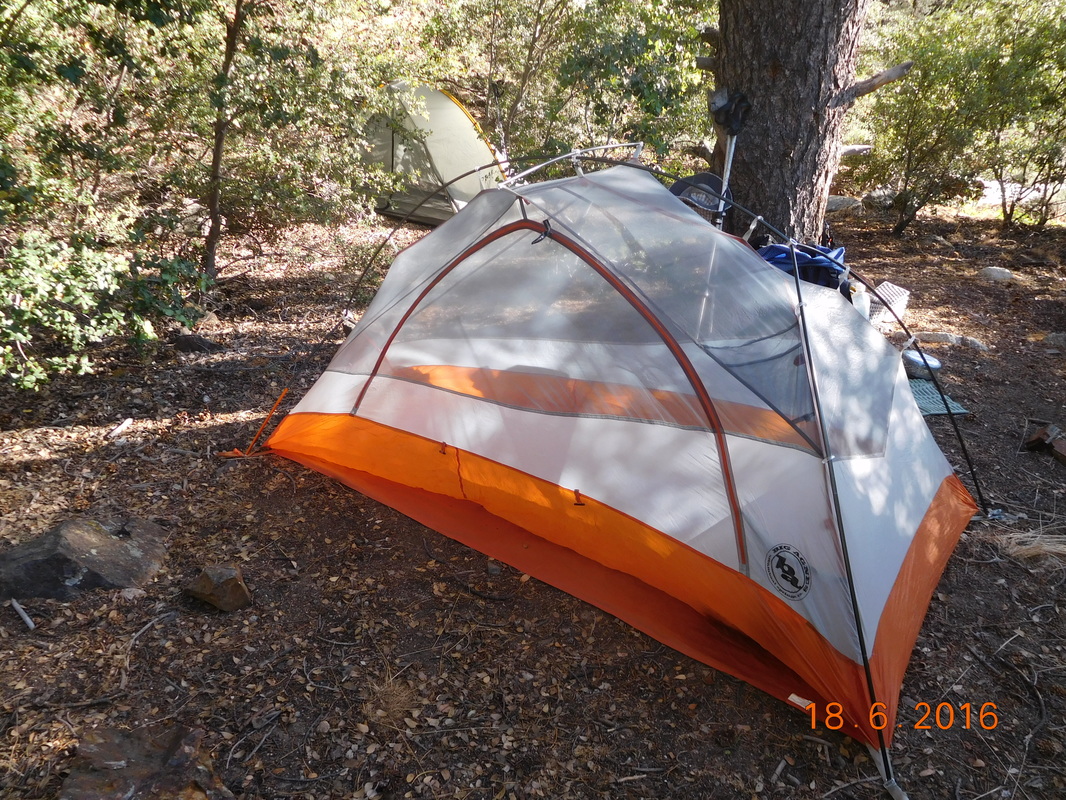
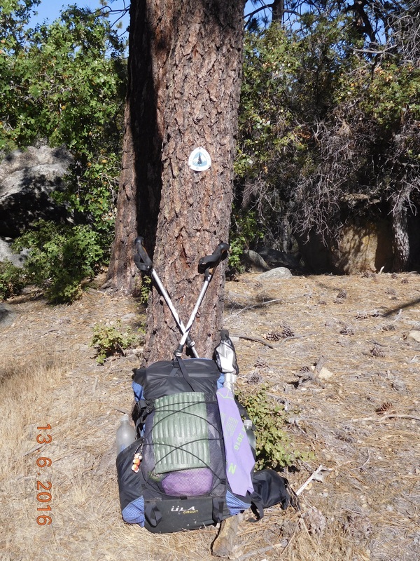
Here is my home for the night:
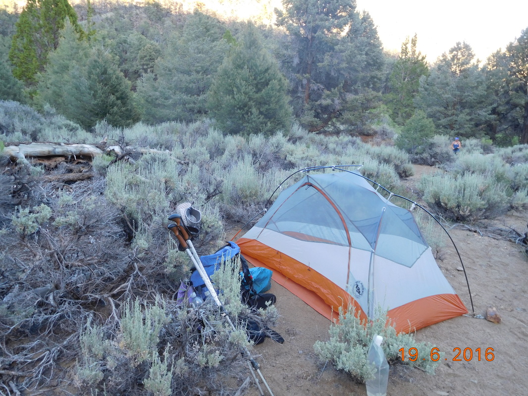
Picture
Nice campsite.
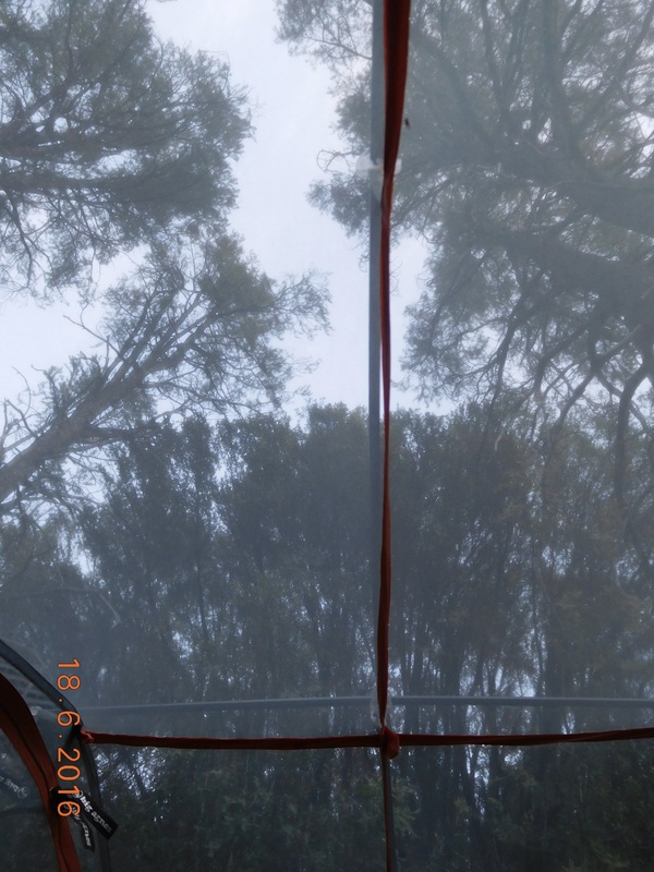
I decided to leave the rain flap off again tonight. Here is my view from the tent:
Picture
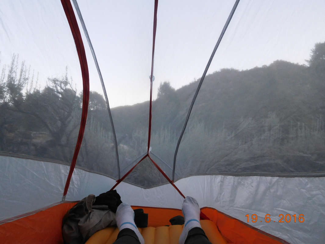
Pretty nice view from inside.
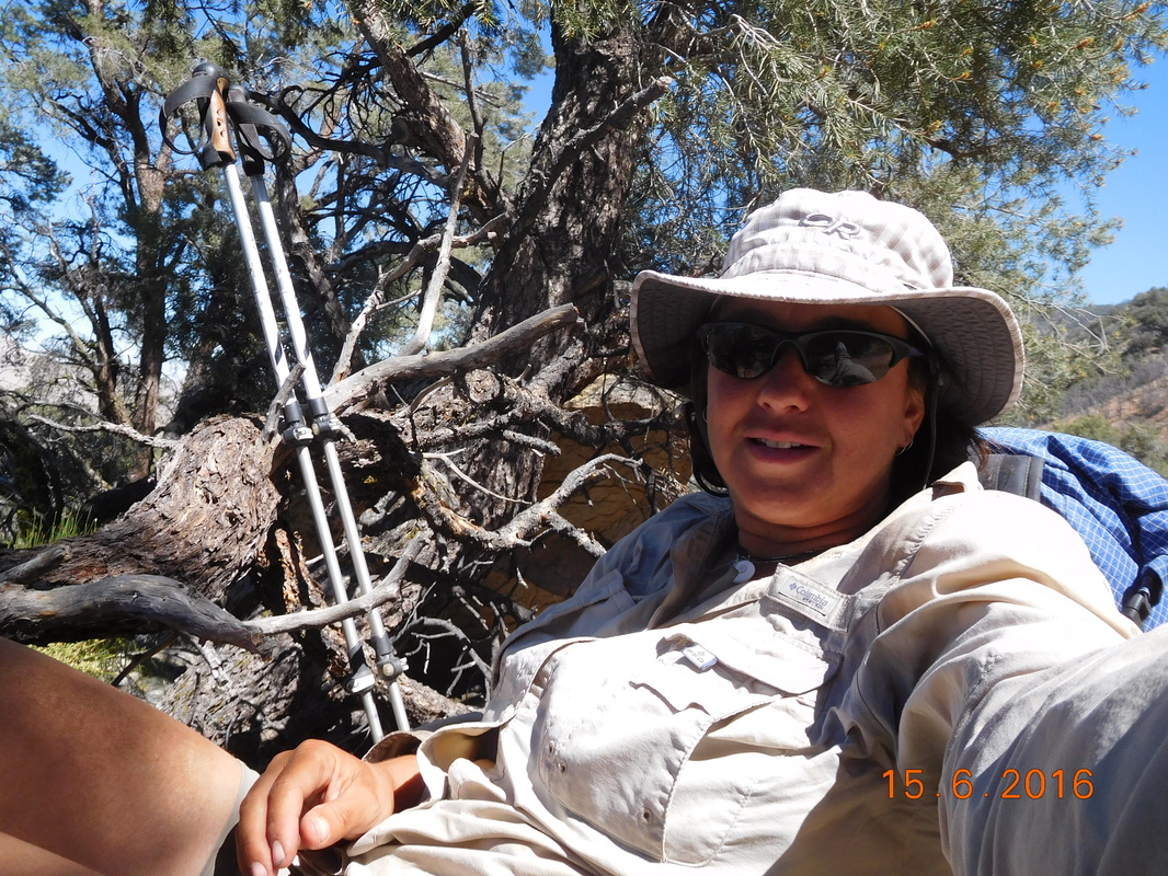
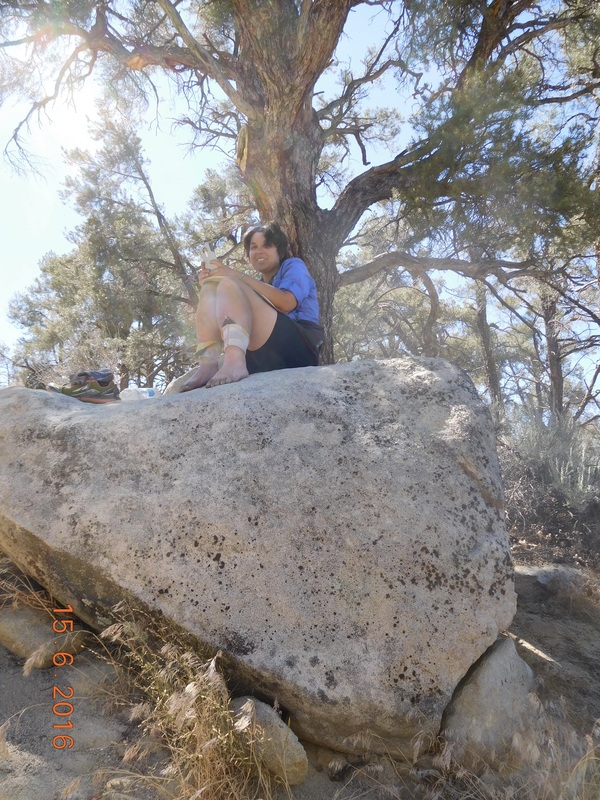
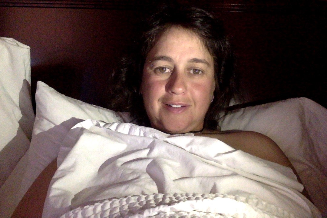
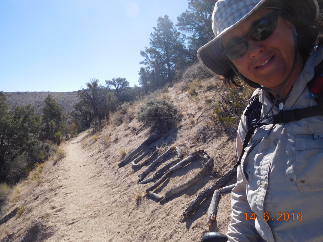
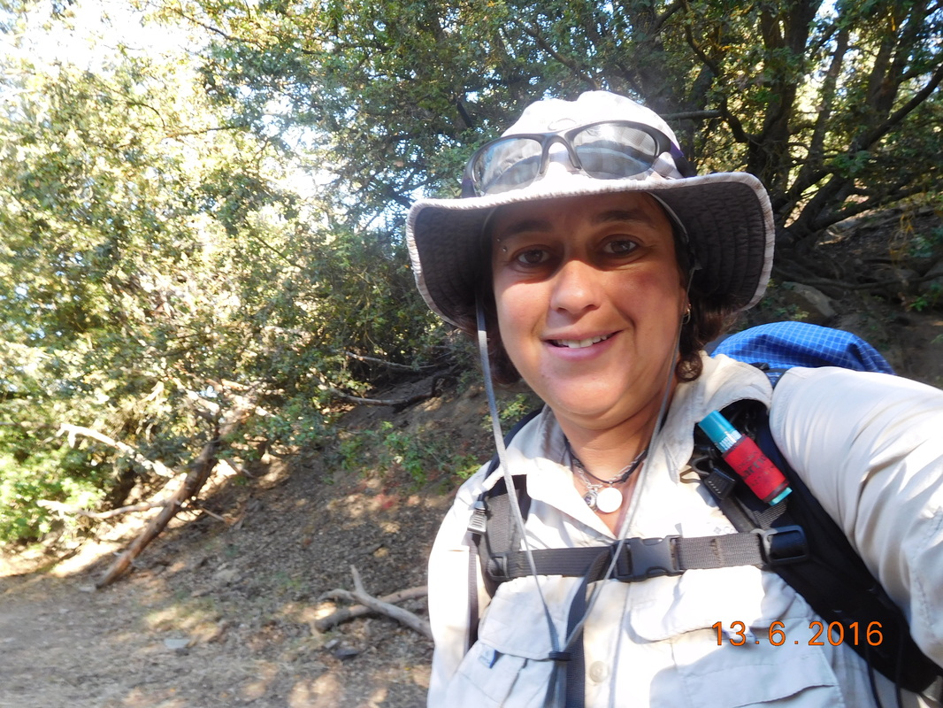
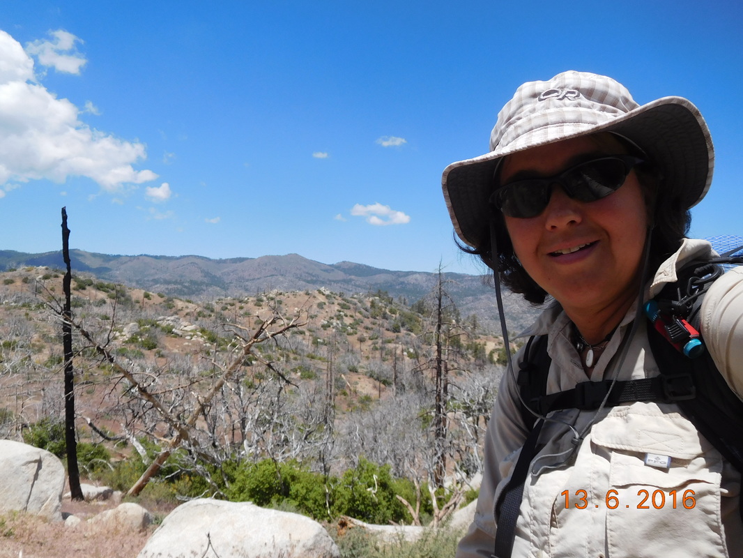
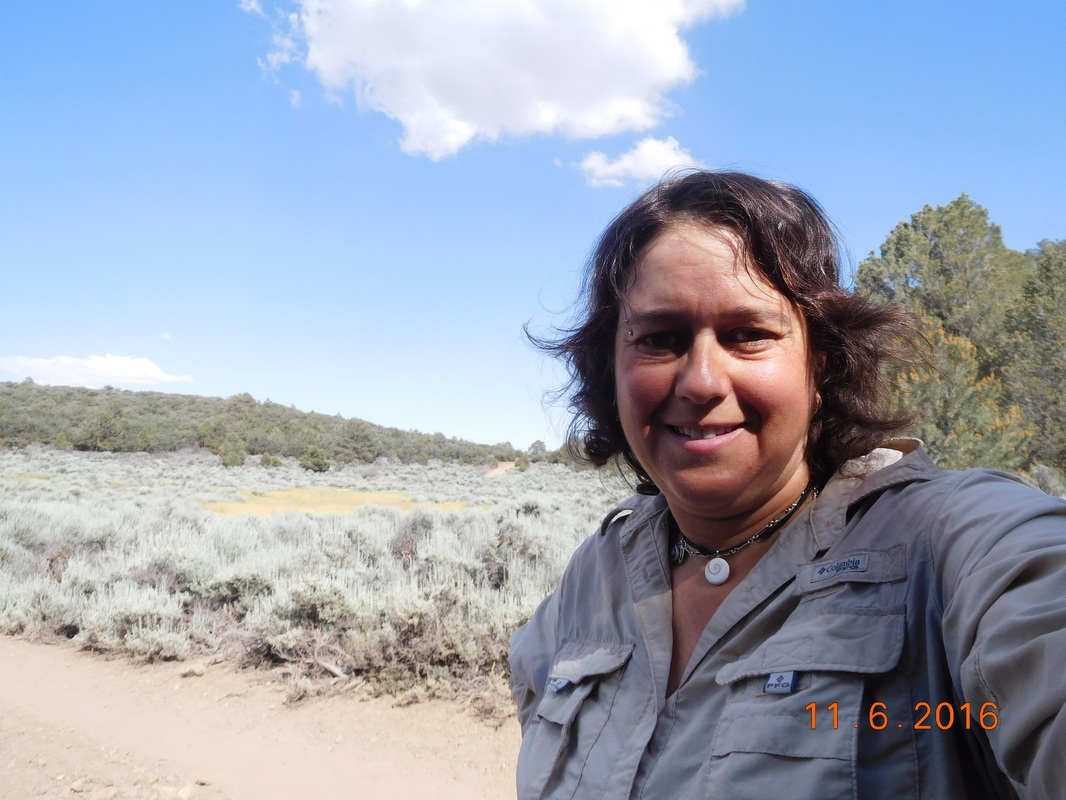
I also noticed that I didn't take a self-portrait today, so I took one in the tent:
Picture
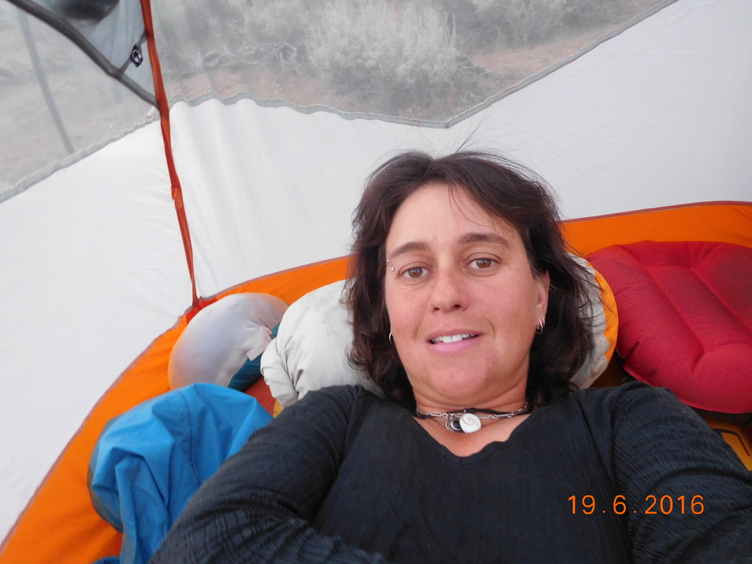
Self-portrait "Chilling in the tent"
0 Comments

Day 60 (18 June) - Mile 652.00 - 668.69

6/18/2016

0 Comments


Walker Pass to Campsite on Spanish Needle Creek

I awoke to the alarm at 5:45 AM. It is very difficult to get out of a warm, cozy bed in a hotel room knowing that the next 10 days I will be sleeping in a tent. The only thing that got me out of bed is I could take a warm shower this morning. That, and knowing that the others will be waiting for me at Walker Pass where they camped last night.

I showered, got dressed, packed up my bag, and headed out with Tim. I told the others we would be there by 7:00 AM and so far we are on schedule.

I ate breakfast in the car (three hard-boiled eggs, a grapefruit, and a pastry from the hotel lobby) and we arrived at Walker Pass Campground just after 7:00 AM.

It was nice to see Share Bear, Audible, Max, and Bear Bait (Kate's new trail name because she keeps getting jelly and honey all over herself). Tim, as usual, was the hero providing water to everyone and taking people trash so they don't have to carry it.

Share Bear was anxious to start hiking while the others were still packing things up, so I decided to join her. She hiked the 0.7 miles to Walker Pass while I took the ride with Tim...don't worry...I hiked that 0.7 miles on Wednesday. We finally left Walker Pass at 7:54 AM.
Picture
Share Bear & I are ready to hike.
As soon as we got on trail there was a sign stating that the saddle was 8.5 miles away. This means that the trail will be climbing for 8.5 miles going from 5,264 feet to 7,052 feet.
Picture
PCT sign of the day.
The good thing about climbing is that there are always great views.
Picture
Morning view
Picture
What a great sky today.
As we hiked along as saw these really cool plant things. They are like yuccas, but the flower is different and the base plant seemed larger.
Picture
Share Bear checking out the new plant.
Not only did the trail climb this morning, but much of the trail was covered with rocks making it a bit more challenging to hike. We have been pretty spoiled lately with nice, smooth trails. Today's hike tested out agility and the flexibility of our ankles.
Picture
Rocky trail
Check out the sky:
Picture
Self-portrait "Amazing sky"
Share Bear and I stopped for lunch and Bear Bait, Audible, and Max finally caught up. Were we stopped there wasn't much shade, so we ate quickly and headed back on trail in search of a better place to take an extended break.

At this point the trail crossed a saddle and provided us with a new view:
Picture
Rock field with mountain view.
Finally, after about one hour of hiking we found the perfect tree that we could all lean against and it provided great shade for all:
Picture
Leaning and lying.
Picture
Bear Bait taking a nap.
After about one hour Share Bear and I were ready to hike on. Before us, Max continued on looking for a good spot to camp tonight. Looking at the topography map, it didn't look like there were many places in the next 15 miles and he was worried. Meanwhile, Bear Bait and Audible continued their naps.
Picture
Share Bear and I hike on.
The trail declined for a while and then surprisingly it started ascending pretty steeply. We thought we were done with climbing for the day, but we were wrong. It climbed around a turn where we hoped it would stop, but around the turn was more climbing. Again it climbed around a turn and again it kept climbing. Finally we crossed another saddle and the climbing ended.
Picture
Share Bear climbing the trail.
Also over the saddle was Max. He located a campsite where he wanted to stop for the night. There seemed to be one really good place to pitch a tent so Share Bear and I decided to continue on for a couple of more miles to where her guidebook said there was a tent site. But, before leaving Max's site we noticed a 1/4 on the ground. We then determined that we were 1/4 done with the PCT. Wow...what an accomplishment.
Picture
1/4 done with the PCT.
We passed a few sites, but none were big enough for our two tents and I was feeling confident with her guidebook, so we pressed on. Finally, just after 6:00 PM and 16.69 miles we found the campsite. There was already a couple there that pitched their tent, but there was room for more.

The couple is from Germany. The woman completed the PCT in 2013 and is back doing a 5-week section with her boyfriend that is thru-hiking this year. About 20 minutes later Audible showed up and pitched his tent. As we cooked dinner, Cool Breeze showed up. Share Bear had met him the second week of the hike and hasn't seen him since. He is a 70-something-year old man from the UK and is doing incredibly well on the trail.

Then, Harry showed up. We had talked to him earlier in the day. Today is his first day on the trail. He just retired as a biology professor and is trying to make it to Canada.

So, there is 6 tent and 7 people in this campsite tonight. I better wear my earplugs to bed.

Here is the picture of my tent this evening. Notice I left off the rain flap today. It feels like it is going to be a warmer night and there is no wind whatsoever, so I thought I would try it out. Max and Bear Bait never use their flap and I figured it was the perfect night to try. Right now as I blog, I have a view of trees and stars above me...pretty cool. 
Picture
Flawless home for the night.
With the flap off I have a great view out my tent:
Picture
Tree view out my flapless tent.
0 Comments

Day 59 (17 June) - Mile 652.00

6/17/2016

0 Comments


Walker Pass (Staying at Springhill Suites, Ridgecrest, CA) - Zero Day

Even though I fell asleep around 9:00 PM, we still managed to sleep until 9:00 AM...wow...12 hours of sleep...I guess I needed it.

Theoretically I should be getting back on the trail and hiking today, but Max and Kate wanted one more day to get their things together before returning to the trail.  What the heck, I can handle another day in the really nice hotel.

So, we ate breakfast, watched some TV, moved to a new room with a king bed, and watched some more TV.  I then decided I better get some work done...I need to prepare my food for the next 10 days.  By chance, the town of Ridgecrest is home to Navy Air Weapons System China Lake and they have a commissary.  No paying those high California supermarket prices.

We drove to China Lake and found the commissary.  I was so happy.  They had everything I needed at probably one-third the price.  After shopping we went to lunch at an Asian restaurant that was walking distance from the hotel.  It was actually pretty good.

We are now back in the room watching TV and blogging.  I still need to pack up the food and do a load of laundry, but it is only 5:00 PM, so all is good.

Tomorrow I am back on trail for a 3-day, 50-mile stretch from Walker Pass to Kennedy Meadows.  It will be great to see the others and get back on trail after 2 zero days.
0 Comments

Day 58 (16 June) - Mile 652.00

6/16/2016

0 Comments


Walker Pass (Staying at Springhill Suites, Ridgecrest, CA) - Zero Day

What a great zero day.  We slept in, ate a great breakfast in the hotel lobby that actually had veggie sausage, watched TV, and then decided to visit the local brewery:
Picture
Indian Wells Brewing Company, Inyokern, California
After the brewery we found a sports bar to watch the beginning of the Cleveland Cavaliers basketball game.  We left around halftime and went back to the hotel where I feel asleep somewhere around 9:00 PM.

What a perfect day!
0 Comments

Day 57 (15 June) - Mile 634.17 - 652.00

6/15/2016

0 Comments


Campsite at Mile 634.17 to Highway 178, Walker Pass (Staying in Ridgecrest)

It was quite a windy night, but I managed to sleep OK.  It wasn't as windy as I had experienced in the past, but enough to make it a bit uncomfortable.  I awoke just after 6:00 AM.  The plan was to wake up earlier so we could get to town at a decent time, but I guess that didn't happen.  When I got out of the tent, Max and Kate were just stirring and Share Bear was already gone.  Max said that she woke him at 5:45 AM and said that she couldn't sleep so she got up early and was ready to hike.  Hopefully we will be able to catch her.

I packed up my bag and decided to eat breakfast down the trail since it was still pretty windy and uncomfortable up here.  I waited a little bit till Rocket Pop and Sunshine were ready to go and off we went at 7:17 AM.
Picture
Sunshine, Rocket Pop, & Mighty Mouse ready to hike.
It might have been chilly and windy, but the views were still spectacular.
Picture
Beautiful morning view.
Yesterday we had a slight view of the snow covered Sierra Mountains where we are headed.  Today they got closer and provided a better glimpse of what is ahead for us next week.
Picture
The snow-capped Sierra.
We stopped for a quick breakfast and then Max finally caught us.  I was hiking between Kate and Max for a while:
Picture
Kate hiking in front.
Picture
Max hiking behind.
Just after 10:00 AM and 5 miles we stopped to rest and air out our feet.  These stops are what makes hiking 18 miles a day possible.
Picture
Feet getting aired out.
Today's PCT sign of the day was looking back from where we came when the PCT joined an unpaved road for 2.3 miles.
Picture
PCT Sign of the Day
As we hike the Sierra Mountains get closer and closer!
Picture
We are coming for you Sierra Mountains!
Picture
Great afternoon view.
After our lunch break Max decided to hike ahead so it was just Kate and I.  We came across MAGA chilling out under a tree.  He said that Share Bear was with him for a break and left around 11:30 AM and said she would meet us in town.  It was now just after 2:00 PM.  Wow...she is hiking hard today.  Everyone seems a bit more motivated to push themselves when they know they are staying in town for the night.

Even though Kate and I were anxious as well, we decided to take a break just 2 miles short of Walker Pass.
Picture
Enjoying our last break of the day.
Picture
Kate taking a break on a rock.
As we were sitting there Tim appeared coming up the trail.  He was bored of waiting so he decided to hike in and meet me.
Picture
Here comes Tim.
It was nice hiking with Tim for the 2 miles back to Walker Pass:
Picture
Tim posing for picture.
Finally, just after 4:00 PM, we made it to Walker Pass Campground.
Picture
Made it!
Kate, Tim, and I walked down to the campground and there was no sign of Max or Audible.  So, I gave my bag to Tim and walked with Kate the additional 0.7 miles to Highway 178 were her and the others will hitch into Lake Isabella.

When we arrived there, Tim was already there and so was Max.  Audible caught the bus that recently passed through.  We said goodbye to Kate and Max, because we are going to Ridgecrest instead of Lake Isabella.  They went across the street and put out their thumb.  The first vehicle that passed stopped and they were on their way.

Before we took off for Ridgecrest, I shot this picture of Joseph Walker of whom this pass is named after:
Picture
Joseph Walker.
We made it to Ridgecrest and checked into the Springhill Suites.  What a nice hotel.  I will be happy here for the next 2 days before heading back on the trail.
Picture
Loving my bed for the night.
0 Comments

Day 56 (14 June) - Mile 617.86 - 634.17

6/14/2016

0 Comments


Campsite at Mile 617.86 to Campsite at Mile 634.17

I actually slept pretty good last night. When I saw Tim yesterday I swapped my messed up air mattress with his, which worked out nicely. I woke around 6:30a hearing someone packing up outside. When I looked out it was MAGA breaking camp. I said good morning from out my tent flap then went inside to dress and pack up my stuff. By the time I left my tent MAGA was gone.

I packed up my bag and as I was eating breakfast, Share Bear said that she was going to start up and eat breakfast in a couple of miles. I told her that I would catch up to her. I was ready to hike by 7:23 AM.

When I left, Rocket Pop and Princess Mountain Man (Max) was still working on getting their tent down, Audible (Kennan) was just waking up, and Sunshine  (Heidi) was still sound asleep. Woohoo...everyone now has a trail name!
Picture
Time to hike and catch Share Bear
Today we continue the hike through the Joshua Tree infested desert. These trees are so awesome.
Picture
Sun rising behind Joshua Tree
Picture
Beautiful, full Joshua Tree
As I was hiking along, I noticed someone had scratched arrows into the trail and pointed to the view. I didn't know why they pointed this particular view out, but I took a picture:
Picture
What's with this view?
Then as I hiked a little further, I looked back out at the view and noticed in the far distance a snow-covered peak...a Sierra Nevada Mountain!  My first glimpse of the mountain adventure that we'll be arriving at soon. If you zoom in and look really close under the cloud on the right you may see it too:
Picture
The Sierra Nevada Mountains way off.
As I hiked along I passed the 1,000 KM point on the trail. Why not celebrate with our international hikers?!?
Picture
1,000 kilometer mark.
Picture
Proof I'm standing at 1,000 KM.
Finally, after about 1.5 hours of chasing Share Bear, I caught up to her. We took a little break. At this point we were about 9 miles from where we were meeting Tim.

This area had a lot of dirt roads and trails. Down below us we noticed this rusted out bus that someone drove to its final resting place:
Picture
Cool rusted out bus.
Check out this incredible view we had today while hiking!
Picture
Share Bear hiking in front.
Right around 11:30 AM we came across Hungry and Piccolo hanging out in the shade of a Joshua Tree:
Picture
Hungry and Piccolo.
They were resting up because they knew we had a bit of a climb ahead of us. Check out the trail ahead of us. It climbs pretty steep:
Picture
Steep part of the trail.
Of course, a steep climb means plenty of time to take pictures.
Picture
Self-portrait "Rest time"
Towards the top of the climb we saw this rock that looks just like a skull:
Picture
Skull rock
And check out this cool spotted lizard:
Picture
Nifty lizard
We made it down to Bird Spring Pass at 2:18 PM. It was incredibly windy and sunny. Hikers were hiding under trees all over the place. Tim showed up about 30 minutes later after climbing a switch-backed jeep trail and parked the 4Runner in a way that seemed to block some wind and provide shade. It was kind of miserable, but we all made it work.

2.5 hours later we were ready to go back on trail. At this point we were 20.5 miles from Walker Pass where the others are hitching down to Lake Isabella for a couple of nights, so they are anxious to get there tomorrow. That means we need to get a few more miles in today to make tomorrow's miles feasible. In front of us is a 4 mile steep climb that everyone has been talking about at Bird Spring Pass.

So, at 4:46 PM, I said goodbye to Tim until tomorrow when he meets us at Walker Pass, and headed up.
Picture
Goodbye Tim.
Before the climb there was this sign:
Picture
PCT sign of the day.
In the next 3.33 miles we climbed 1,561 feet, plus there was a very strong wind the whole way. Share Bear led with a slow and steady pace that felt really comfortable and got us to the top in pretty good time. At the top we found a campsite that could hold most of us. Audible is camping 100 yards down trail and the rest of us, including Sunshine are camping here.

Today we climbed 4,000 feet with a strong wind most of the day. We are now at 6,860 feet and it is a bit chilly. The wind has calmed down some, but it is still blowing.

We have just over 17 miles to hike tomorrow to get to Walker Pass. Everyone is anxious to get there so we all plan on getting an early start...including Sunshine. It is now 10:00 PM, so I better get some sleep.
Picture
Close quarters with Princess Mountain Man and Rocket Pop.
0 Comments

Day 55 (13 June) - Mile 602.12 - 617.86

6/13/2016

0 Comments


Robin Bird Spring to Campsite at Mile 617.86

After blogging last night I had trouble falling asleep. I though I should take an Aleve, but with 4 tents close by, I didn't what to make noise getting the pill out. Then, my air mattress felt like it needed more air, but again I didn't want to make noise. I guess I did finally fall asleep and the awoke around 3:00 AM and had to add air into my mattress since my hip was hitting the ground. I think this mattress has had it.

I then awoke around 6:30 AM and heard Share Bear packing up, but yesterday was a hard day and I felt like I needed some extra sleep. I finally got up around 7:00 AM and packed up my things and ate breakfast. I was ready to hike by 7:30 AM and Kennan, Max, and Rocket Pop were still in their tents, but getting ready. I guess we will all hiked our own hike this morning and will meet up later in the day.
Picture
Ready to go.
Today Tim is meeting us at Kelso Valley Road which is the 13.92 mile point in today's hike, so I was motivated to try to hike a little faster.

What's more motivating than this awesome morning view?
Picture
Great view to start the day.
The entire morning was spent hiking through a pine forest. It was so peaceful and beautiful. It was actually pretty nice to be hiking alone through this amazing scenery where you can daydream and get lost in your thoughts.
Picture
Beautiful pine forest.
I was lucky enough to see a doe and fawn, and snapped this picture...you may not be lucky enough to see them though.
Picture
Doe and fawn.
The trees in this area had PCT signs attached to them. I had to set up this cool picture for the PCT sign of the day:
Picture
PCT sign of the day with my backpack and hiking poles.
Of course, the beautiful forest couldn't last since California seems to be the forest fire state.  After walking through the forest you could imagine what this area once looked like.
Picture
PCT through a burn area.
Picture
Burned pine forest.
Picture
Self-portrait "Burn with mountain"
I finally made it through the burn area and needed to stop for lunch. I was trying to make it to Tim first, but my stomach had other ideas. I came across Passport and decided to stop there. After lunch we joined each other for the last 5 miles to where Tim is meeting us. During these 5 miles we saw these long views of mountains. Pretty tall peaks can be seen way in the distance. I don't know if there are peaks we have been to or are headed towards.
Picture
Long views of peaks.
Of course, this beautiful day couldn't be complete without seeing a snake. I was pretty happy that Passport was with me to help me deal with this pretty large gopher snake. 
Picture
Gopher snake.
Picture
Passport leading the way.
When I met up with Passport we had 4.70 miles to go to meet Tim. We arrived at Kelso Valley Road about 2:45 PM, only 1 hour and 45 minutes after starting out. I think that's a pretty good average.

When we arrived, Tim wasn't there, but Share Bear was. She said she had a very enjoyable day today hiking alone. I get that. Today was beautiful.

Just about 15 minutes after I arrived, Tim showed up:
Picture
Hi Tim!
As usual, he provided trail magic bringing salad makings, Sierra Nevada Pale Ale, Oreos, oranges, bananas, apples, and Cheetos. Every seemed to really enjoy it all:
Picture
Enjoying Tim's trail magic.
After 3 hours of hanging out with Tim, we figured we should head back on trail. The plan was to go a couple of miles and then find a campsite for the night. Share Bear and I headed out first and told the others that we would stop at the first sign of a nice site. Of course the trail climbed from this point. During the climb we saw this cute little bunny:
Picture
Desert rabbit?
Share Bear was feeling motivated and hiked ahead a bit. I think she was anxious to find a place to sleep.
Picture
Share Bear hiking on.
Just about at the 2 mile point after leaving Tim we came across the perfect place that we could all fit. In our current group we have 5 people and 4 tents.  Plus, Heidi has been hanging with us the past couple of days, so she might want to camp with us. That make 5 tents. It is not easy to find a site that can hold that many tents. However, we managed to find just that among some Joshua Trees.

Share Bear and I set up our tents, than Max, Rocket Pop, and Kennan showed up and set up their tents. Then Heidi did show up and decided to camp with us. And then, as we were eating dinner, MAGA showed up and camped with us as well. What an awesome group of people camping together.

After dinner everyone went to their tents. I stayed up while MAGA ate to keep him company and didn't get Into my tent until after 9:00 PM. I wrote most of this blog, but quit at 10:00 PM because I was tired. I am actually finishing this up the next night before starting on this day's blog. Luckily I was able to get in my tent before 9:00 PM tonight.

Tomorrow we meet up with Tim again after 13 miles of hiking. Can't wait!
Picture
My tent before everyone else showed up.
0 Comments

Day 54 (12 June) - Mile 583.28 - 602.12

6/12/2016

0 Comments


Golden Oaks Spring to Robin Bird Spring

I slept pretty well last night considering my tent wasn't on the flattest spot...I really was tired. I awoke around 5:30 AM but stayed in my sleeping bag until 6:00 AM. I packed up my bag and went down to the spring to filter a couple of liters of water and eat breakfast. Today we have almost 19 miles to hike before there is any water, so I'm carrying 5 liters which is pretty much the max I am comfortable carrying.

Share Bear and Rocket Pop headed out before me and Max decided to sleep a couple more hours before hiking today, so that left Kennan and I. We started out 7:49 AM.
Picture
Kennan and I ready to hike.
Kennan is a pretty fast hiker, so I didn't expect to be able to stay with him long. My goal was to try to stay with him until I caught up to Share Bear and Rocket Pop. Let's see if I could do it.

First off, the scenery this morning was beautiful:
Picture
Great morning view.
It turned out that the terrain for the first 7 miles wasn't too bad, so I was actually able to stay pretty close to Kennan. He would lose me on the parts of the trail with rocks or downhill since I was more careful on those parts, but I would then speed up to catch him. Regardless, this was pretty much my view for the first hour or so that it took me to catch Share Bear and Rocket Pop.
Picture
My view of Kennan.
We hiked through a burn area and saw some beautiful, yet poisonous poodle dog plant. Here is Rocket Pop walking by a bush:
Picture
Rocket Pop and Poodle Dog
The burn area really is beautiful.
Picture
Rocket Pop hiking through a burn area.
Finally, after 9.5 miles of hiking, we stopped for lunch at 12:15 PM. I can't believe that this is only the halfway point of today's hike. It wasn't that long ago that 10 miles was my entire days worth of miles!

Kennan was already stopped when he came across Passport taking a lunch break. When we stopped, Share Bear mentioned that her foot was hurting a bit and Passport immediately went into his bag and grabbed some kinetic tape along with instructions on how to tape for different injuries. I love how everyone is out here helping each other out.
Picture
Passport being helpful
For lunch today I decided to cook my dinner for lunch figuring I will be pretty tired after the hike today. Rocket Pop had leftover dinner from last night that she ate. I haven't mentioned it yet, but Max and Rocket Pop dehydrated a lot of food for the trail. In the pot is Pad Thai which Rocket Pop had no problem bragging about.
Picture
Bragging about Pad Thai.
Her brother Kennan was a bit jealous about it:
Picture
Kennan wanting in on the Pad Thai.
I just sat back and enjoyed my broccoli cheese rice with salmon.
Picture
Enjoying dinner for lunch.
After about a 2 hour break we were off. The afternoon promises to be a bit more challenging with some steep climbing, but it also had some gentle hiking through meadows and a pine forest.
Picture
Share Bear, Rocket Pop, and Heidi hiking through a meadow.
Picture
Self-portrait "Meadow with a view"
Picture
Beautiful pine forest.
Share Bear was happy to make my PCT sign of the day photo:
Picture
PCT sign of the day with Share Bear
Oh...we hit a new milestone today...600 miles!
Picture
Proof I'm standing at Mile 600.
Picture
Mile 600 pose.
Nearly 11.5 hours after starting out hike today, we saw a sign for Robin Bird Spring, our goal for the day.
Picture
Finally there.
Today we hiked 18.84 miles, a new daily record for me. Tomorrow we are planning another long day...maybe even another new record. But before any record will be broke, we are meeting Tim in 14 miles tomorrow.

Well. As you can imagine, I am totally exhausted right now. Share Bear has set her alarm for 5:30 AM and it is almost 10:00 PM now as a write this. I better get to bed.
Picture
Close quarters with Share Bear.
0 Comments

Day 53 (11 June) - Mile 566.44 - 583.28

6/11/2016

0 Comments


Highway 58 to Golden Oaks Spring

I had a pretty restless sleep last night. I was having a dream that I was walking in the desert and it was going to end just around the bend and then I wake up. When I fall back asleep I have the same dream and wake up. So I never make it around the bend. Very frustrating.

I set my alarm for 6:15 AM, but when it went off I knew there was no way I could get up, so I went back to bed and finally arose at 7:15. I really needed that extra hour. Tim and I went down for breakfast in the hotel lobby and then left just after 8:00 AM for the trail and arrived there around 8:30 AM.

By then way, this is where Cheryl Strayed from the book/movie Wild, started her hike. I haven't read the book or seen the movie, but I guess there was a shot of her in front of this metal structure, so Tim took a picture of me:
Picture
Just like Wild
After taking the Wild photo, filling my water bottles, and saying goodbye to Tim (I will see him on Monday) I was ready to hike at 8:45 AM. This was 1 hour and 15 minutes later than I was supposed to start and try to meet up with the group.
Picture
Getting a late start today.
The hike started out following Highway 58 for over 1.5 miles on a flat, but rough construction area along side.
Picture
Trail made rough by construction trucks.
When the trail finally turned off the construction area, I turned on my phone to send Tim a quick email and there was a text from Brad that said "Enjoy the climb up from 58 :-)". Climb, what climb?  I didn't look at the hike profile today before starting out so I have no idea what the hike is like today, but Brad knows.

Then the trail started climbing and didn't stop for over 5 miles. We climbed from 3,825 feet to over 6,000 feet. At least the scenery was incredible to look at during the climb:
Picture
Joshua trees along the trail.
Picture
A valley view
Picture
The climbing trail.
Finally, after 6.5 miles of hiking, just after 11:30 AM, I finally caught up to the group, who of course was just finishing up their break. They told me they were going to stop for lunch in 2 miles, so I took a quick 15 minute break and took off after them again.

I found them not long after just stopped for lunch and joined them. We hung there for about a 1.5 hour break and hit the trail just before 3:00 PM. At this point we still had 8.2 miles to go for our planned stop at a spring.

At this point the trial joined a dirt road for 4.5 miles. It started out pleasant enough:
Picture
Nice dirt road.
And then the road was steep and the hills went on for long distances.  We thought the trail was going to be a bit easier after lunch, but we were wrong.

It took us 1.5 hours to cover the 4.5 miles of the dirt road, and it felt good to be done with it.
Picture
Self-portrait "Finally leaving the dirt road behind"
We now had just over 4 miles to go and the trail finally became pleasant. Oh, and we walked through another wind farm.
Picture
Max hiking past wind farm.
And a cool rocky mountain came into view:
Picture
Cool mountain in distance.
It is really nice to have others to hike with again.
Picture
Max and Share Bear hiking ahead.
Picture
Kate (now Rocket Pop) hiking along.
Check out this view....amazing!
Picture
Great view.
We finally arrived at the Golden Oaks Spring around 6:50 PM. There were many other hikers there trying to collect water and filter it. This is the last water for 19 miles, so everyone needs at least 5 liters each. The problem is that the water is coming out of a PVC pipe very slow, at a rate of about 1 liter every 5 minutes...this will take a while.

I managed to collect 2 liters and filtered them. I was in line for my next 2 liters when I decided to save it for tomorrow and eat dinner...I was feeling quite hungry.

I quickly setup my tent and cooked dinner. Tonight's meal was shrimp-lime ramen with peanut butter, soy sauce, olive oil, and hot sauce. It was actually pretty good.

Soon after dinner I headed into the tent. I am pretty tired after last night's restless sleep. Of course I first have to get this blog done and it is now 9:45 PM. Tomorrow we have 19 miles to the next water source. If I make it, it will be my longest miles yet.

I definitely have to wear my earplugs tonight. We are camped not far from wind turbines and I can hear their sound and Share Bear said she was going to set her alarm for 5:00 AM...way too early for me. I should get an early start because of the mile tomorrow, but I need some sleep, so we will see.
Picture
All our tents set up for the night.
0 Comments

Day 52 (10 June) - Mile 558.51 - 566.44

6/10/2016

0 Comments


Mariah Country Inn, Mojave, CA to Highway 58 (Staying at Mariah Country Inn, Mojave, CA)

We slept in till 8:30 and quickly got dressed so we could eat the complimentary breakfast in the hotel.  Unlike yesterday, I have things to do today.  I have to do laundry, shop and pack food for the next 9 days on trail, figure out the water situation coming up, and hike 8 miles.  There is 8 miles between Tehachapi-Willow Springs Road and Highway 58 that I want to get done today because if I don't, then there is a 25 mile stretch without water.  If I do this section today then there will only be a 16 mile stretch that I could do in one day.

When I told the others that Tim was going to support me for the 8 miles and that I could slack pack, they all jumped on board and decided to join me.  We met at the trail head at 2:30 and everyone emptied their bags into the 4Runner and happily were ready to hike at 2:47 PM:
Picture
Heidi, Kennan, Max, Kate, Mighty Mouse, and Share Bear are ready to slack pack.
At the trailhead was this sign that made me laugh "The Pacific Crest Trail - Hike a Mile or Two-Thousand"  or 2,664.
Picture
Fun headline.
Another day of hiking through a wind farm.  It was cool for the first few days, but I'm almost over it.
Picture
PCT sign of the day with Share Bear and Wind Turbine
While on the trail this Mexico - Canada sign was hanging on a barbwire fence.  Who is responsible for putting this sign up?  We don't know, but it is pretty cool.
Picture
Self-portrait "Mexico - Canada"
The scenery remains pretty incredible in these short 8 miles.
Picture
Desert mountains.
Can you believe in the middle of the hike we came across an actual bench.  We had to all take a moment and try it out.
Picture
Share Bear, Mighty Mouse, Kate, and Max chilling on the bench.
This trail today is pretty cool.  There were a couple of bridges like this in the 8 miles:
Picture
Share Bear crossing a bridge.
More amazing scenery still with wind farms in the distance:
Picture
Nice!
Finally, right at 6:00 PM we made it to Highway 58 and Tim. 
Picture
Before we got there he had laid out everyone's gear and food to make it easy for everyone to repack their bags.  There was also water for everyone to refill their water bottles. 
Picture
Everyone getting their gear together.
After everyone had their stuff together they headed onto the trail.  You see, I will be going back to a hotel today with Tim, but the others will be staying on the trail to save money.  I plan to be at the trailhead around 7:30 AM tomorrow and will catch up to the rest during the day.

Oh...one issue did occur today.  About 5 miles into the hike I realized that I left my SPOT (emergency beacon device) on the hood of the car.  I knew that there was a good chance I would be able to find it, but it was still worrisome.  When I got to Highway 58 I went to the SPOT website and saw that someone took it to Tehachapi.  You see....I turned it on to record the start of the hike and it remained on.  With it on it records its location every 10 minutes or so.  On the SPOT website I can see the location of it and it shows it in Tehachapi.  I went on the PCT website and saw a post that someone found a SPOT and took it to Tehachapi with them.  I replied it was mine and arranged to meet him in town.

Tim and I drove to Tehachapi and met them at a restaurant and got the SPOT back. We decided to join them and stay for dinner.  It all worked out since I got to meet a cool group of hikers.

We arrived back at the room around 9:00 PM, did the laundry, and am now blogging at 11:45 PM.  It is time to get to bed if I am really going to be back on the trail at 7:30.  Tomorrow the plan is to hike 16 miles, so I need a good nights sleep.  Luckily I get to have it in a comfortable hotel room in a comfortable bed.
Picture
0 Comments
<<Previous
Forward>>

    Archives

    October 2016
    September 2016
    August 2016
    July 2016
    June 2016
    May 2016
    April 2016

    RSS Feed

Powered by Create your own unique website with customizable templates.