Tim & Gerri's Wild Ride
Email & Facebook Gerri:
  • Home
  • Worldwide Travel
    • A Bit of Asia 2025 >
      • A Bit of Asia 2025 Blog Summary
    • Everest 2025 >
      • 2025 Everest Packing List
      • Everest Blog Summary
    • 2024 Europe Tour >
      • 2024 Europe Tour Packing List
      • Europe 2024 Blog Summary
    • Asia 2023 >
      • Asia 2022 Packing List
      • Asia 2023 Blog Summary
    • Eastern Europe 2022 >
      • Eastern Europe 2022 Blog Summary
      • Eastern Europe 2022 Packing List
    • Narrowboat Holiday 2022 >
      • Narrowboat 2022 Blog
      • Narrowboat 2022 Packing List
    • Ireland & UK 2019 >
      • Ireland & UK Itineray
      • Ireland & UK Blog Summary
      • Ireland & UK Packing List
    • France 2018 >
      • France Itinerary
      • Blog Summary
    • European Tour 2017 >
      • European Vacation Blog
      • Blog Summary
    • Southeast Asia 2014-15 >
      • Southeast Asia Blog
      • Packing List
      • Blog Summary
    • Afghanistan 2011-12
  • United States Travel
    • Great Lakes Sail 2020 >
      • Great Lakes Sail 2020 Blog
      • Blog Summary
    • Trans-America Bicycle Ride >
      • Blog Summary
      • Our Team
      • Equipment
      • Breweries Along Route
    • Pacific Crest Trail >
      • Pacific Crest Trail 2016 >
        • What is the PCT? - 2016
        • Why Hike the PCT? - 2016
        • Gear - 2016
        • Itinerary - 2016
        • PCT Blog Summary - 2016
        • Where are we now? - 2016
      • Pacific Crest Trail 2014 >
        • What is the PCT?
        • Why Hike the PCT?
        • Gear
        • Food
        • Itinerary
        • Blog Summary
        • Where are we now?
    • Motorcycle Ride 2014 >
      • Motorcycle Blog
  • Brewery Visits
    • 2025 Breweries
    • 2024 Breweries
    • 2023 Breweries
    • 2022 Breweries
    • 2021 Breweries
    • 2020 Breweries
    • 2019 Breweries
    • 2018 Breweries
    • 2017 Breweries
    • 2016 Breweries
    • 2015 Breweries
    • 2014 Breweries
    • 2013 Breweries
    • 2012 Breweries
    • 2011 Breweries
    • 2010 Breweries
    • 2009 Breweries
    • 2008 Breweries
    • 2007 Breweries
    • 2006 Breweries
    • 2005 Breweries
    • 2004 Breweries
    • 2003 Breweries
    • 2002 Breweries

Day 134 (31 August) - Mile 1737.45 - 1759.08

8/31/2016

0 Comments


Campsite at Mile 1737.45 to Paved Dead Indian Memorial Road (Staying in Ashland, OR)

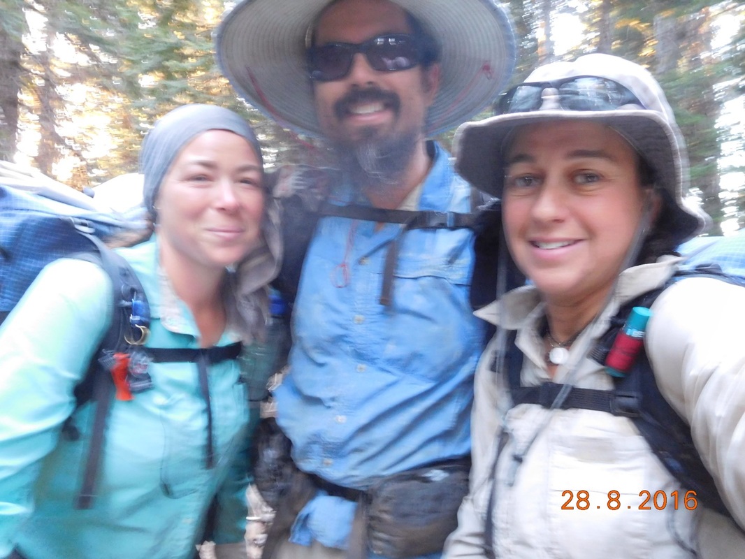
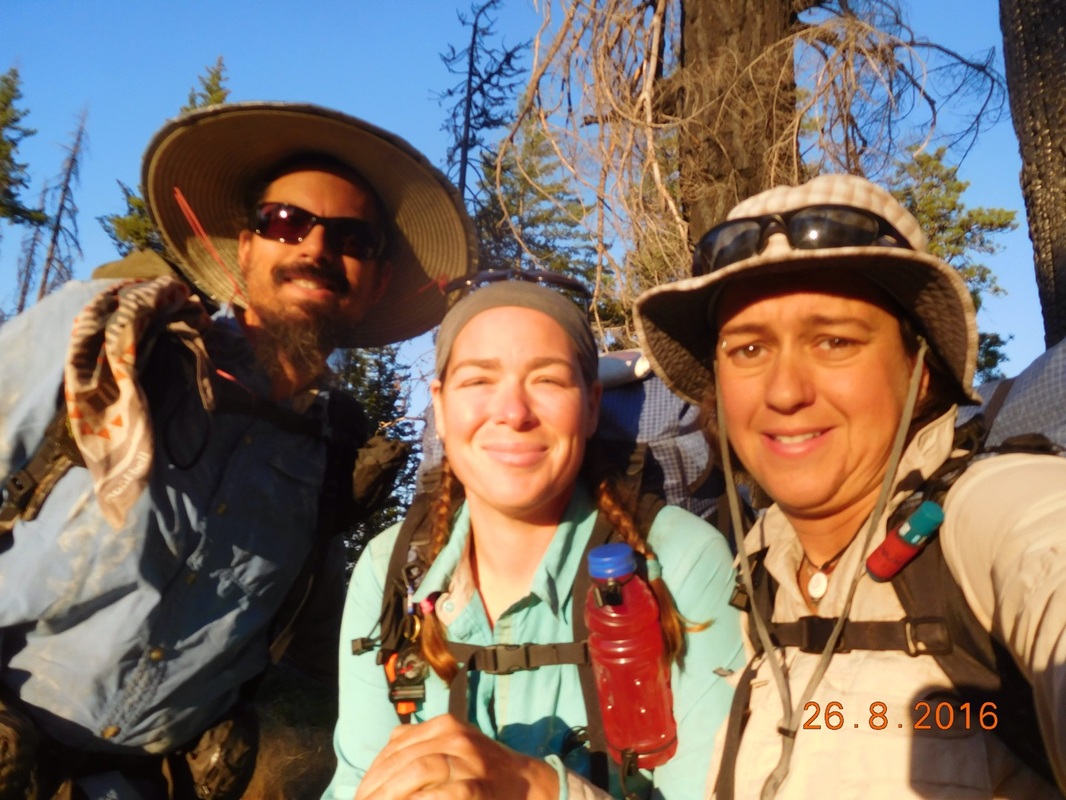
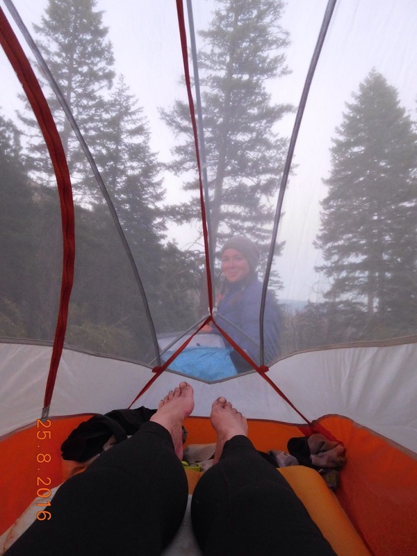
I slept really well last night, the temperature was chilly and perfect.  I woke to Share Bear’s alarm at 6:00 AM.  As we talked through between tents we heard a voice say “Share Bear?”  It was Blackout.  Last night right when I went to sleep I saw a headlight and yelled out “Blackout?” with no answer and they walked by.  I guess it was him and he planned on making it to the next campsite 1 mile further but heard coyotes and decided to turn back to camp with us and not camp alone.  None of us heard him come into camp, so it was a surprise he was there in the morning.

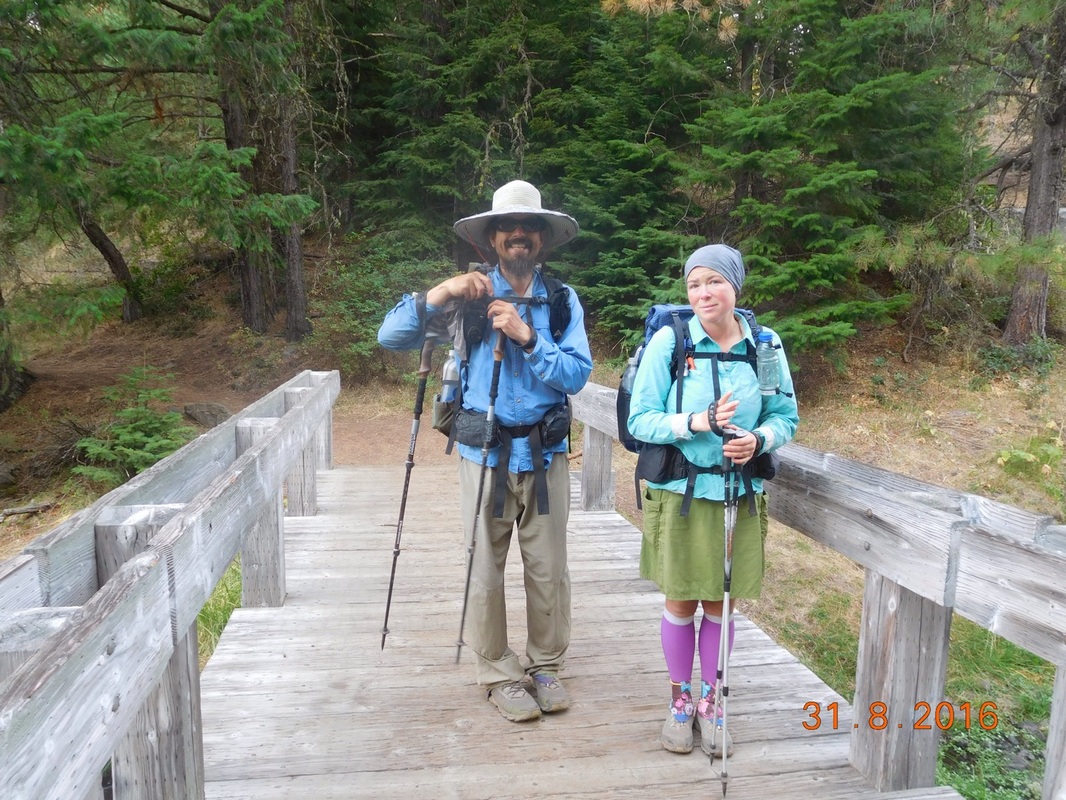
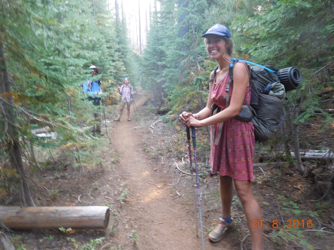
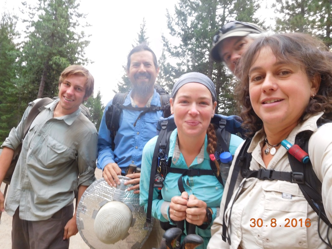
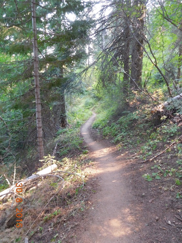
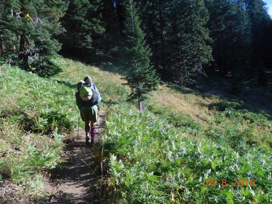
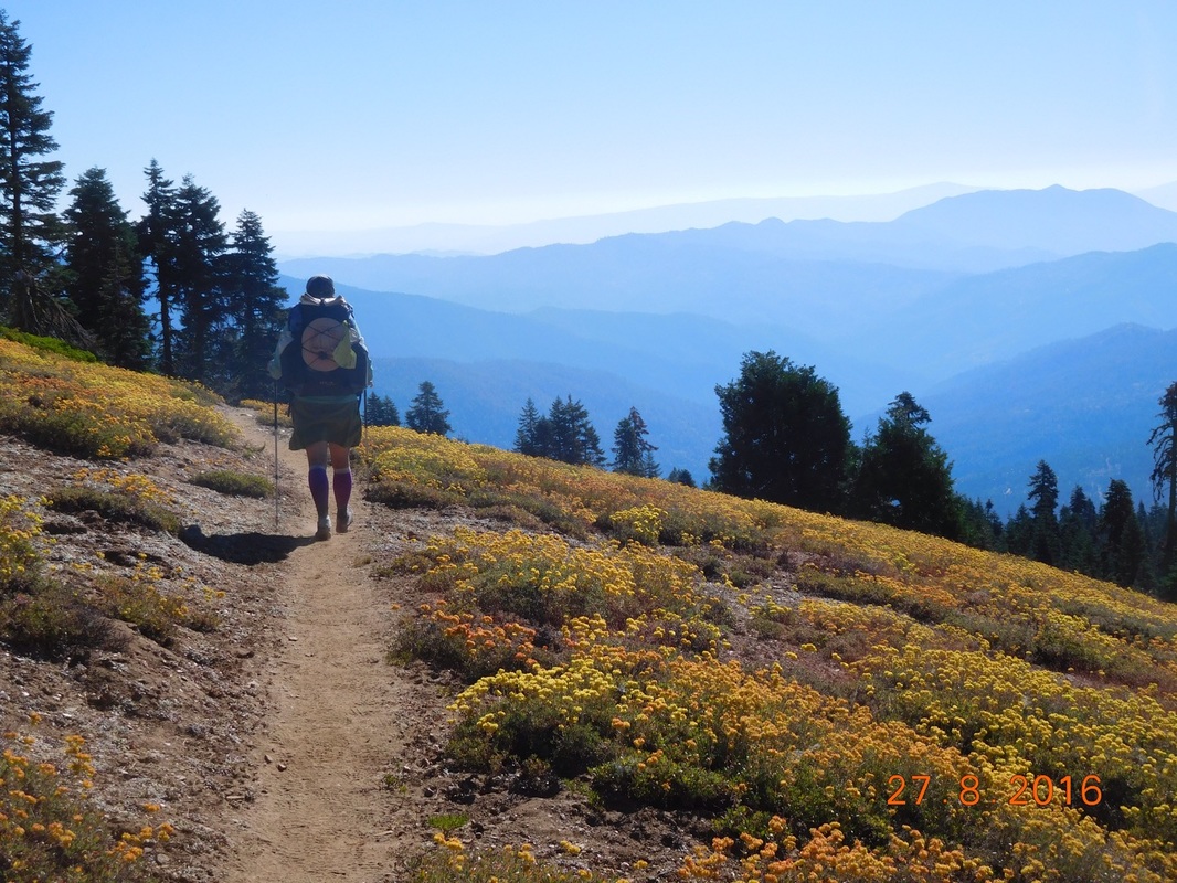
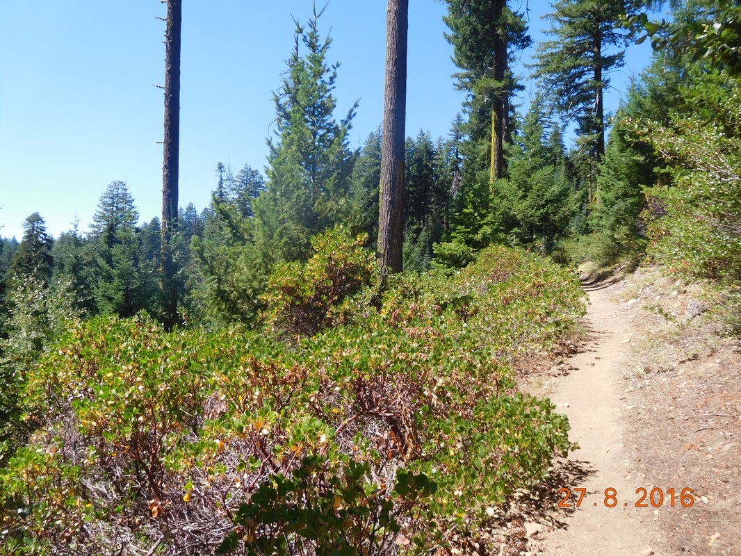
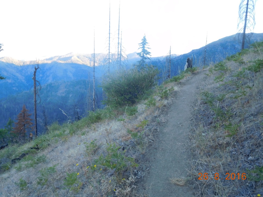
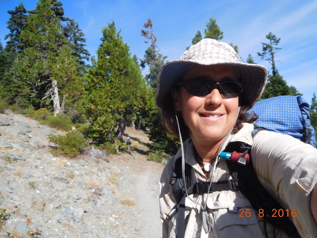
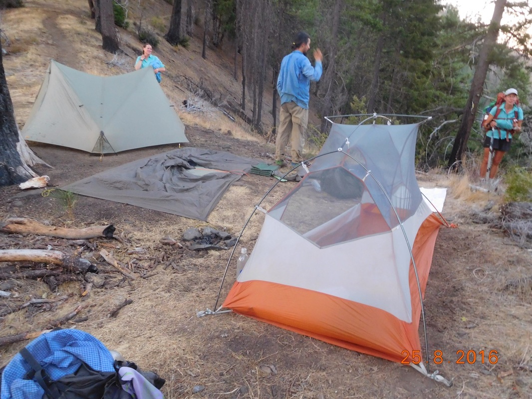
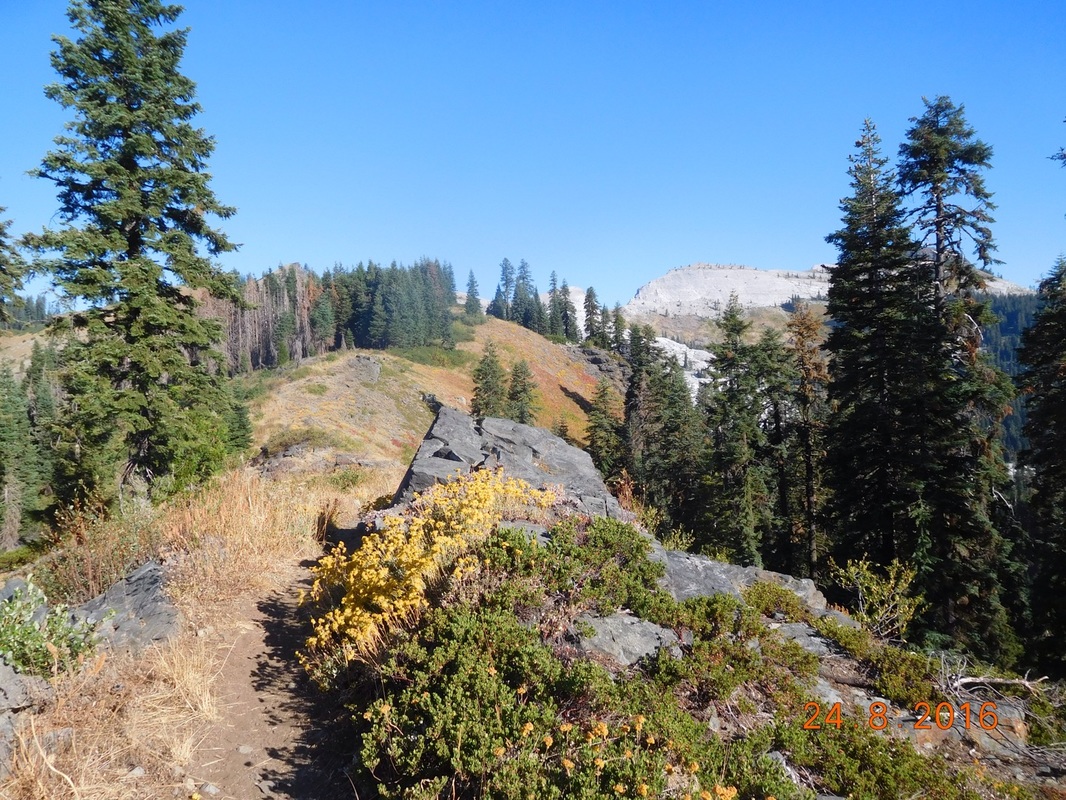
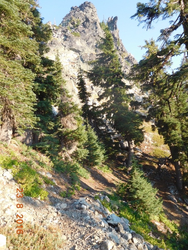
After packing up and breakfast we were ready to hike at 7:15 AM.
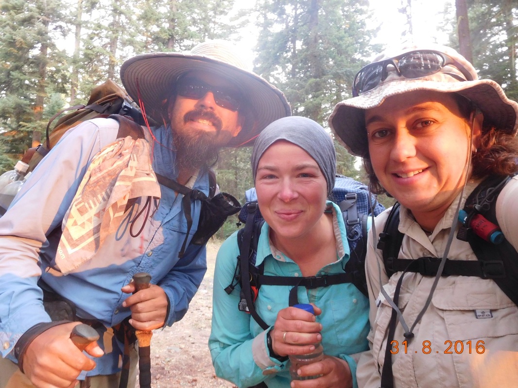
Picture
Ready to hike
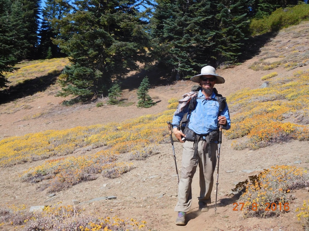
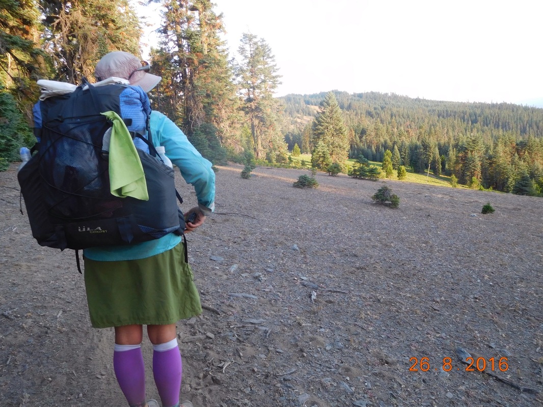
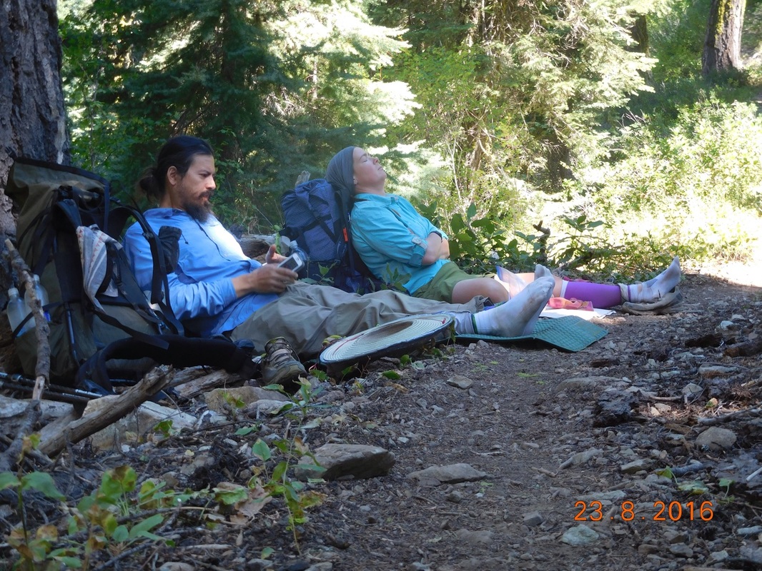
However, Blackout was far from ready to hike.  This is how we left him when we hit the trail:
Picture
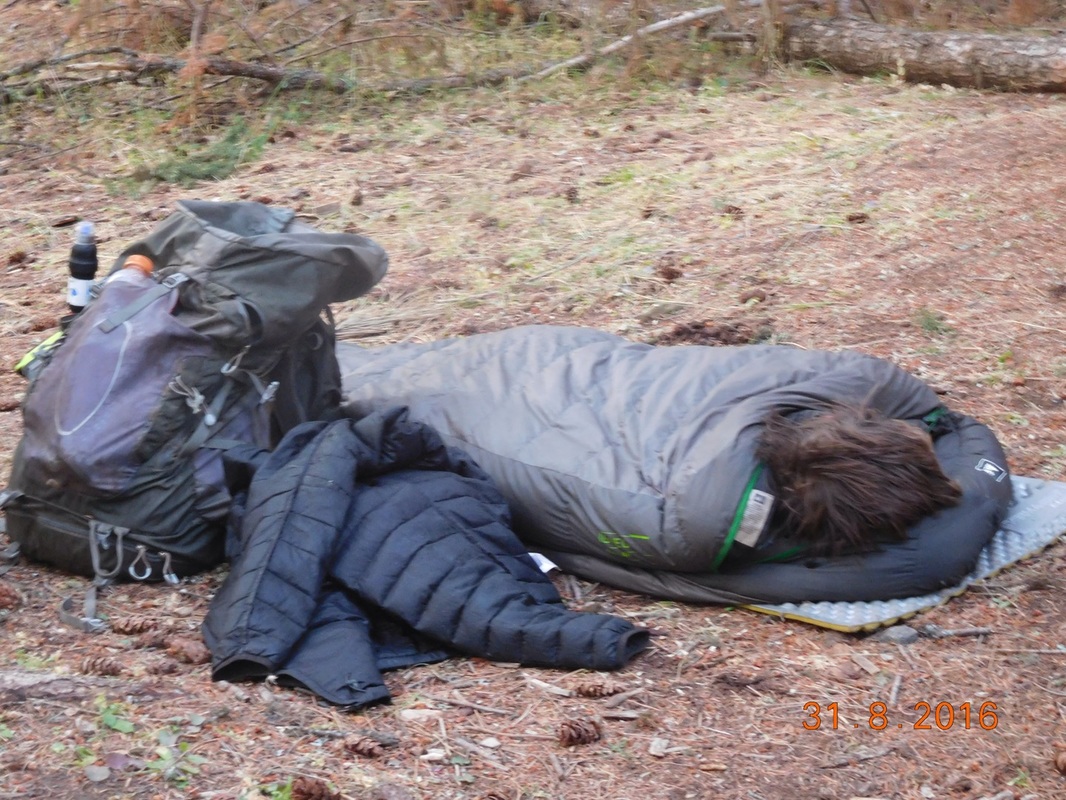
Blackout not ready to go quite yet
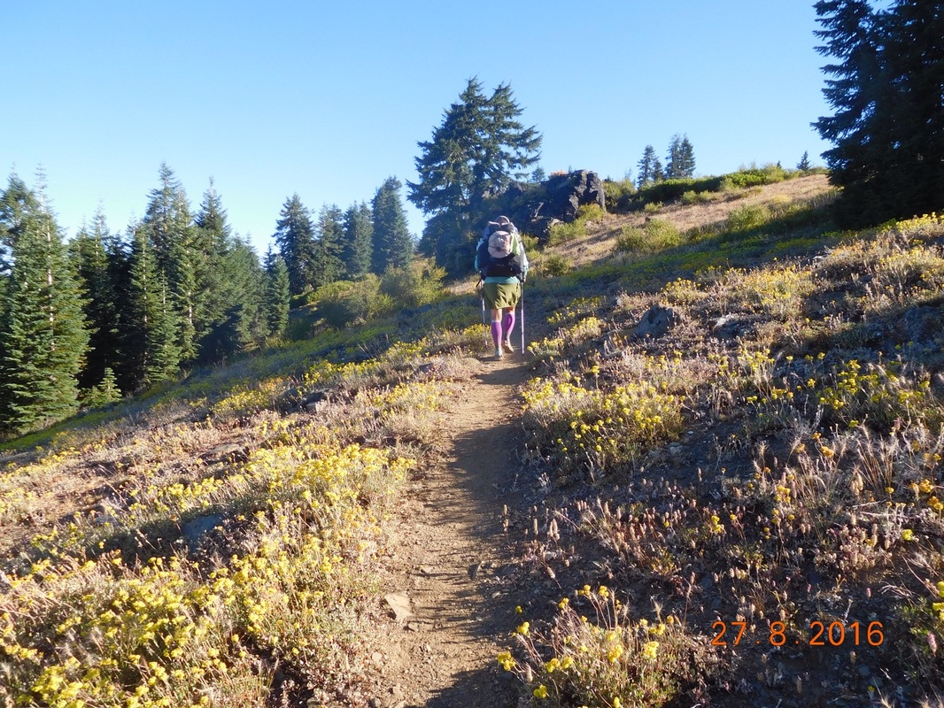
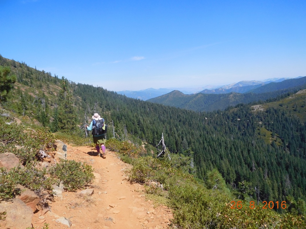
It was a chilly morning so Share Bear ran ahead to try to warm up.
Picture
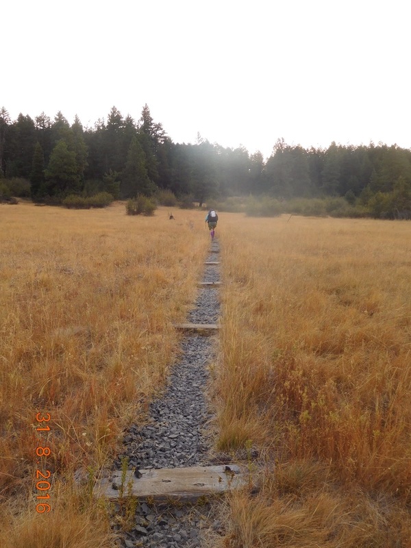
Share Bear getting warm by running ahead
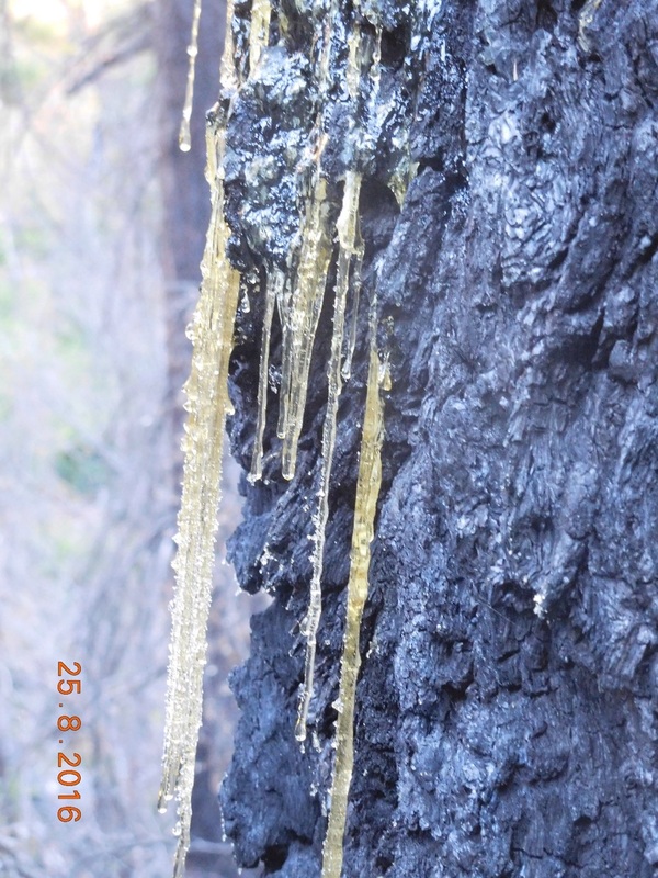
We came to a nice wooden bridge.  The water had steam coming off it proving that the air is colder than the air.  I told you it was chilly.
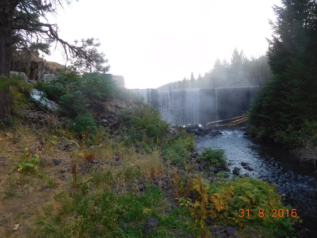
Picture
Steamy water
Brad thought the steam off the water was cool, Share Bear wasn’t too excited by it.
Picture
Poor, cold Share Bear
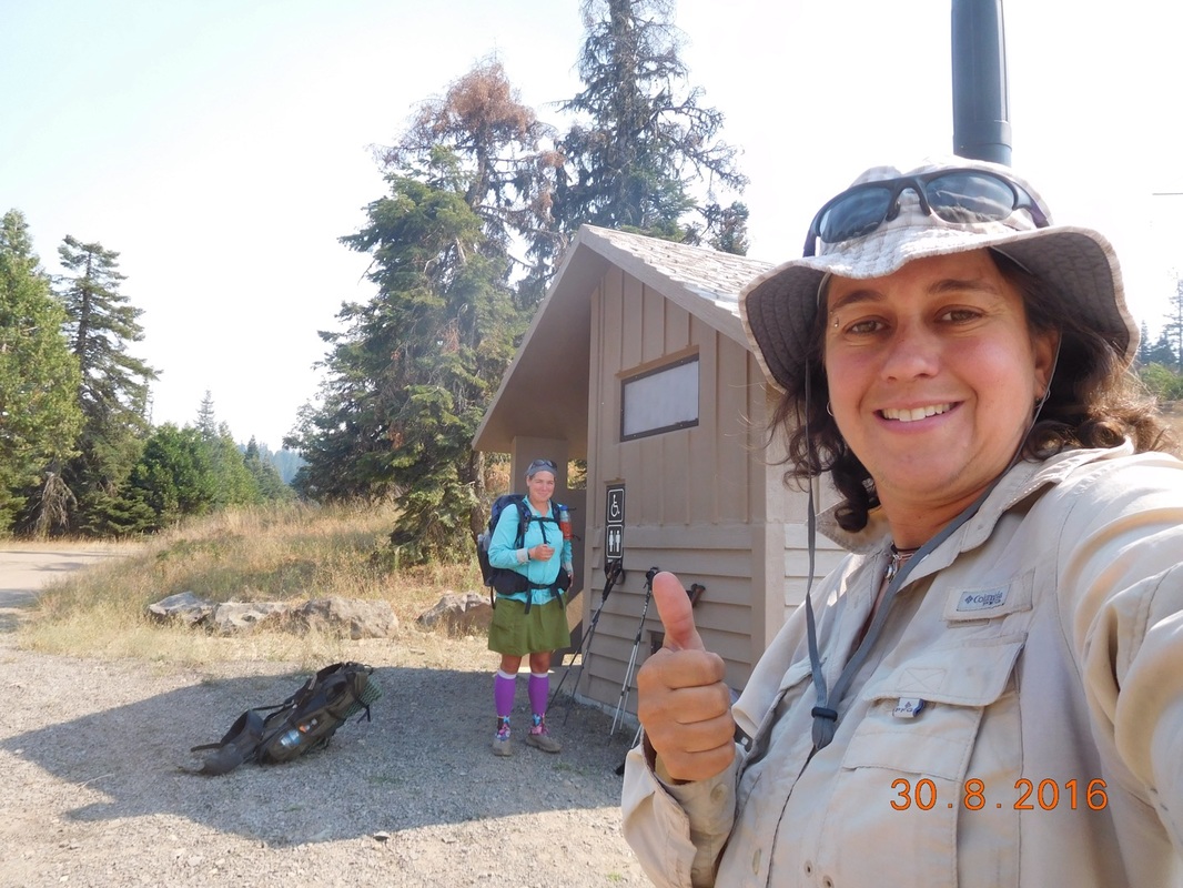
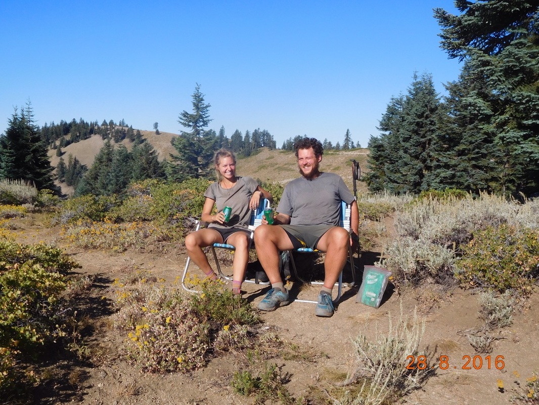
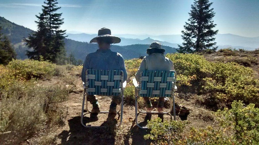
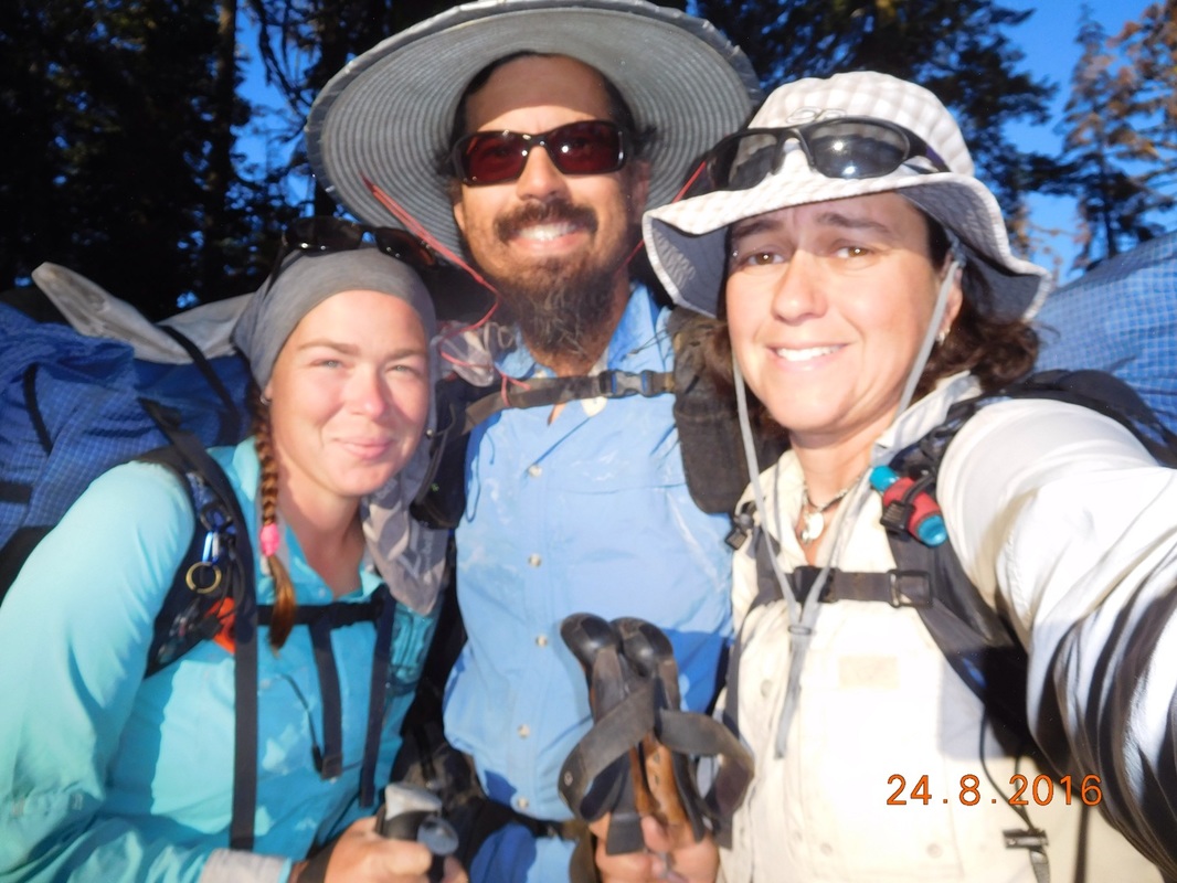
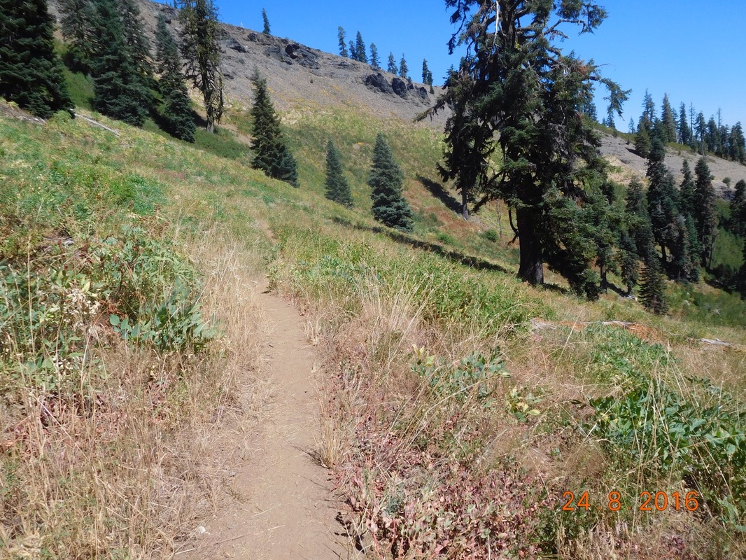
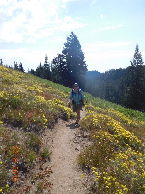
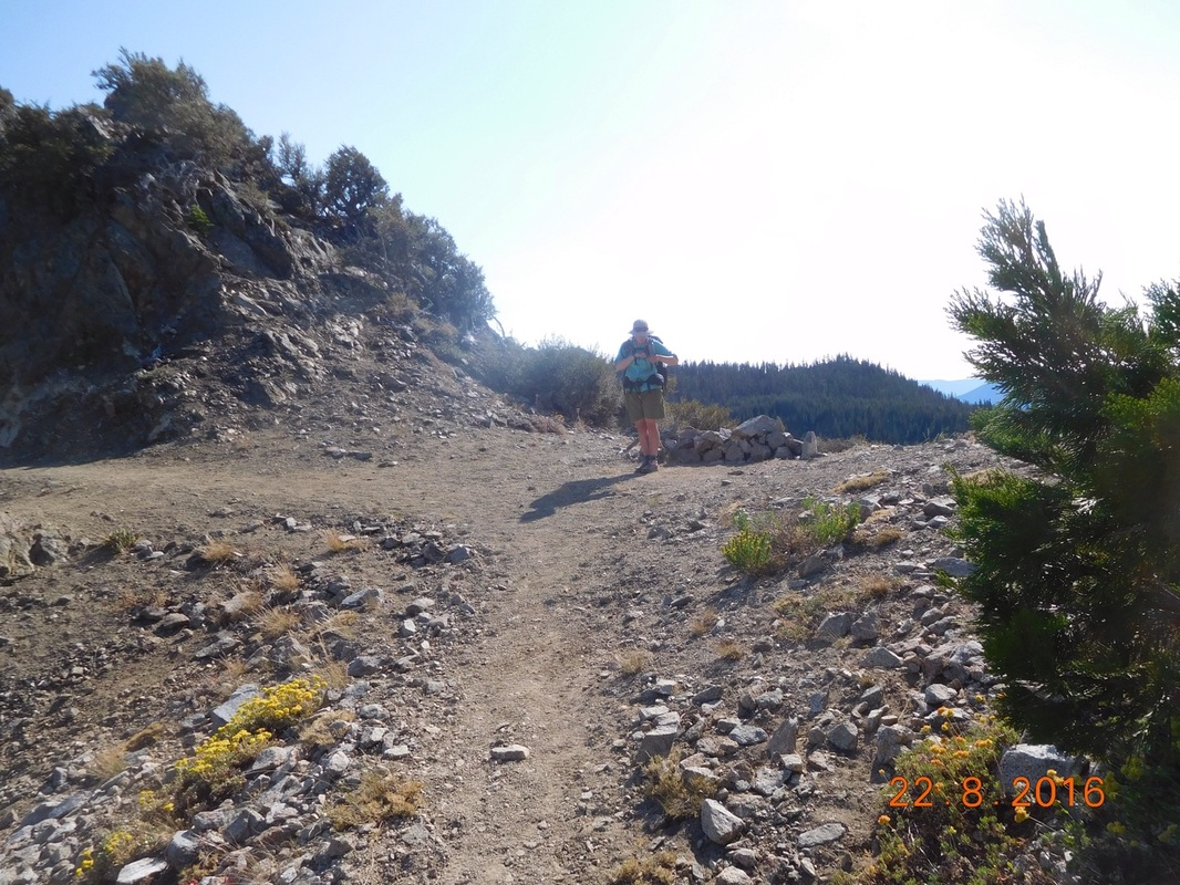
We hiked 2.75 miles to East Hyatt Lake Road where Tim met us so we can slack pack the rest of the day.  He is going to meet us at Dead Indian Memorial Highway 19 miles ahead.
Picture
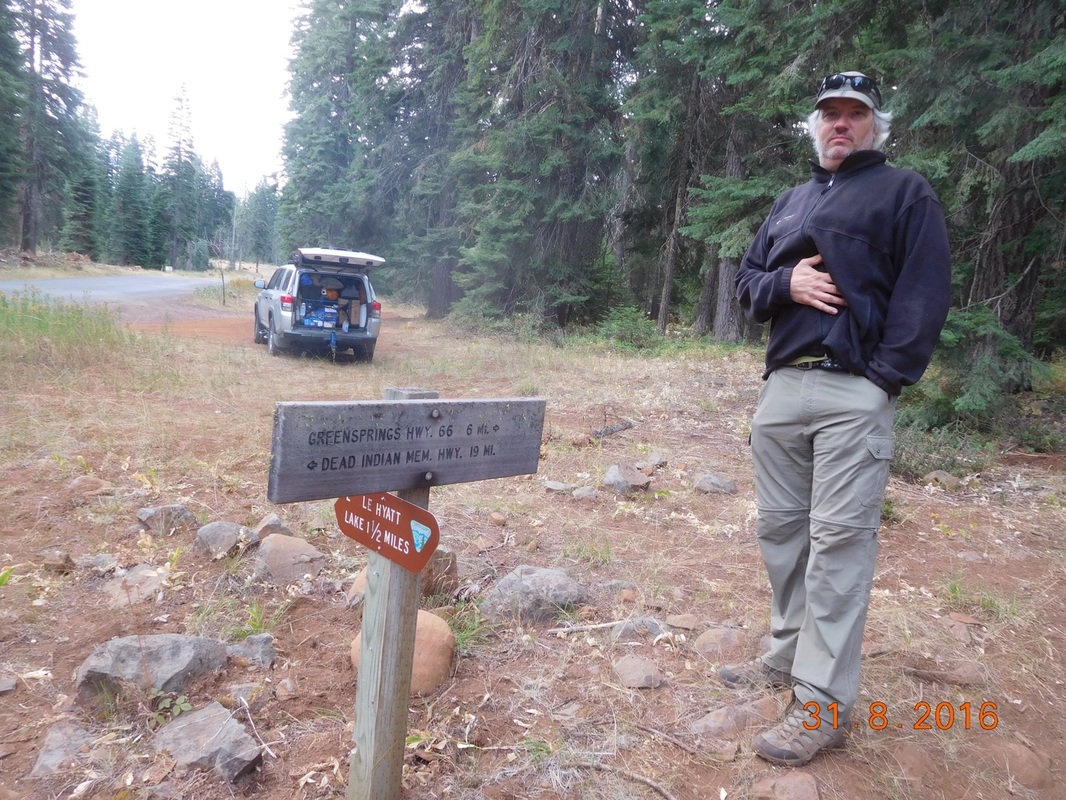
Tim with sign showing we have 19 miles till we see him again.
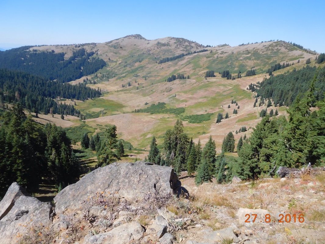
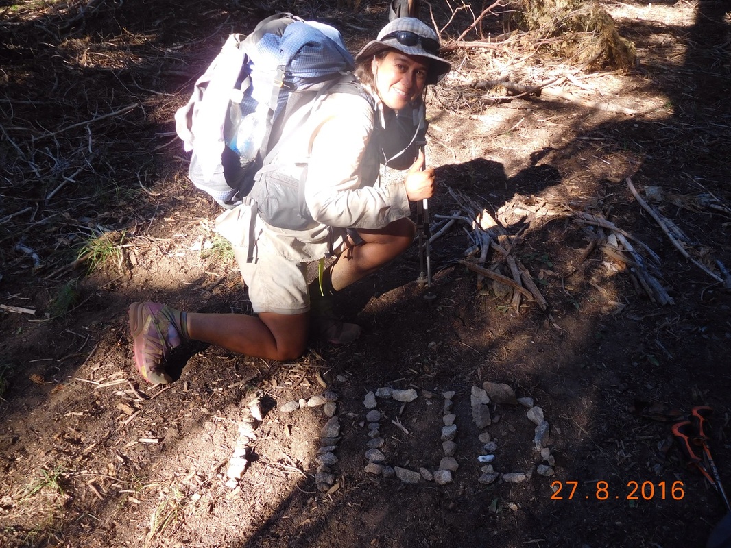
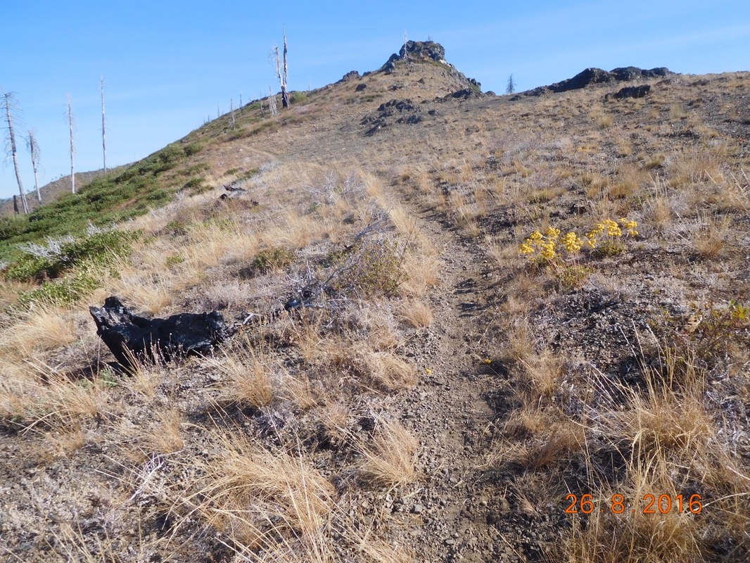
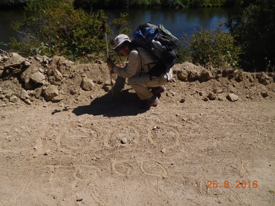
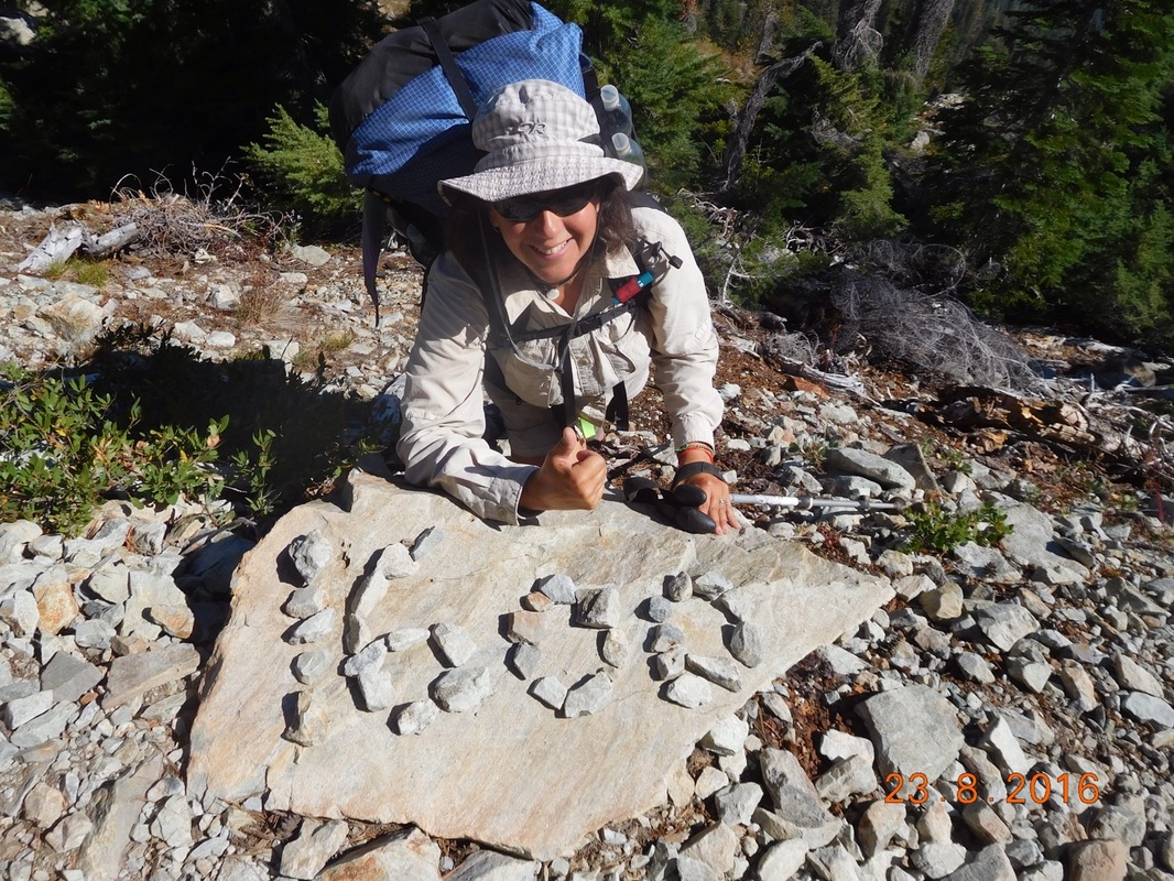
We were hiking along and Share Bear called out to me and was looking down.  I turned around and went back down the trail and saw what she was looking at.  We have only 900 miles to go!  Another 100 miles down and we are feeling better and better about it.
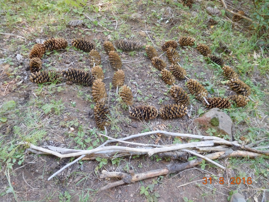
Picture
900 miles to go!!
I saw one of these blue-tailed lizardy thing called a five-lined skink before but wasn’t able to get a photo. I caught it this time:
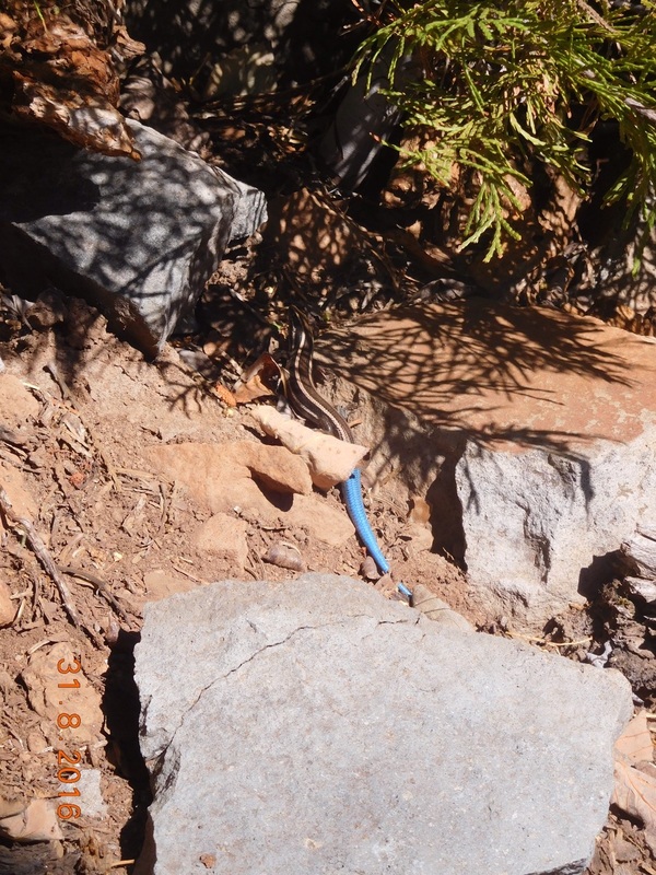
Picture
Five-lined skink
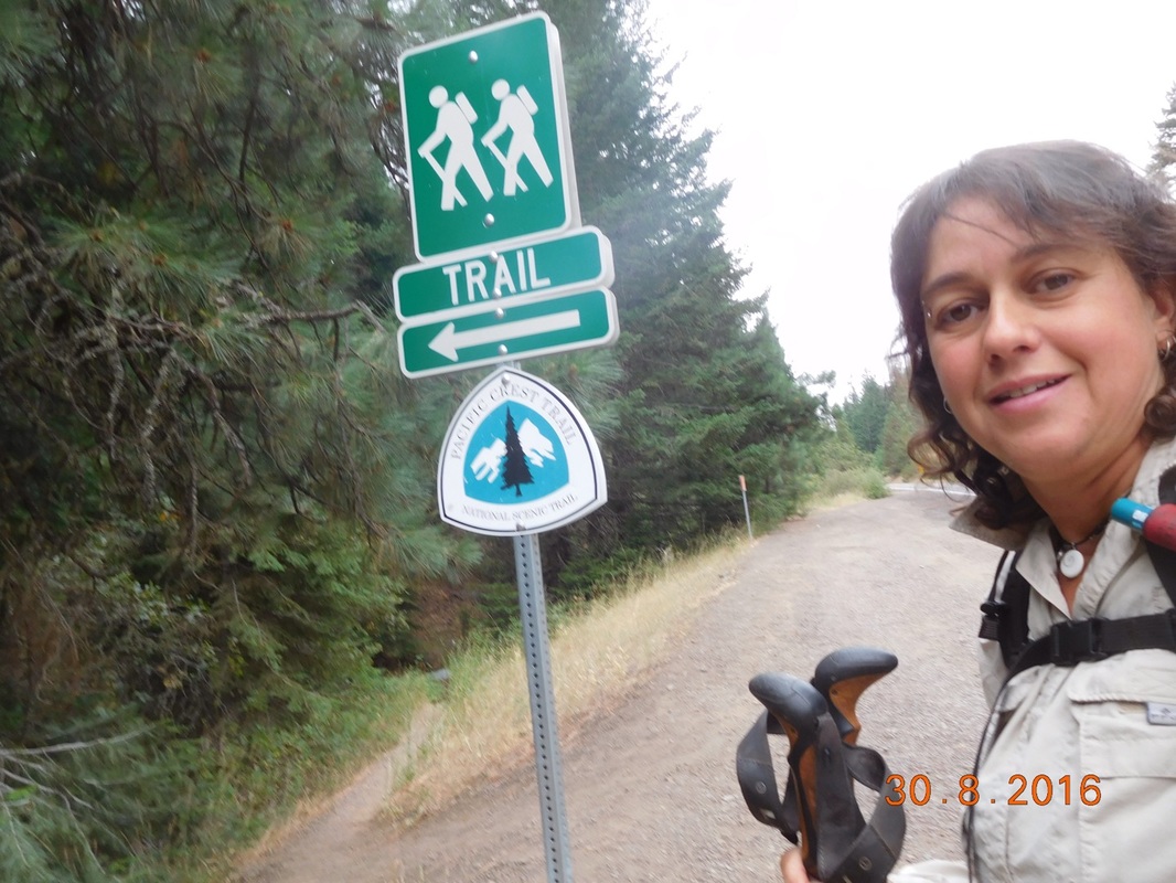
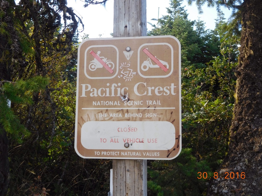
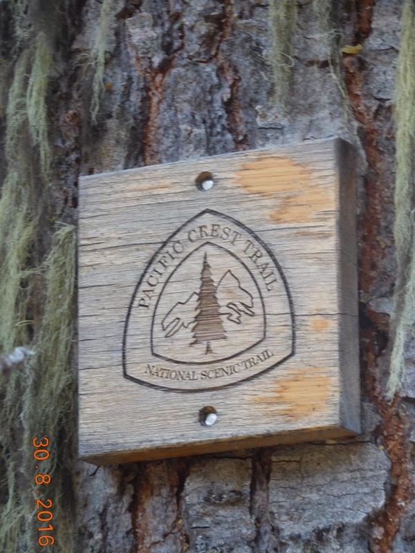
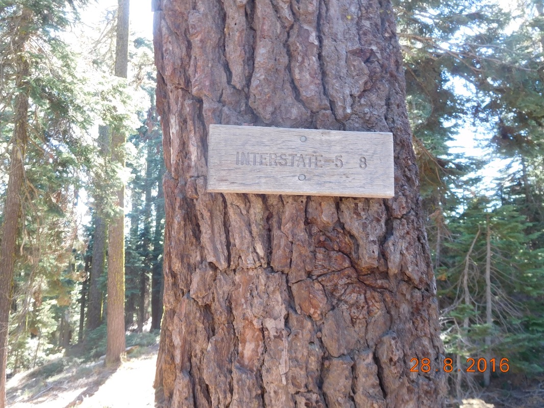
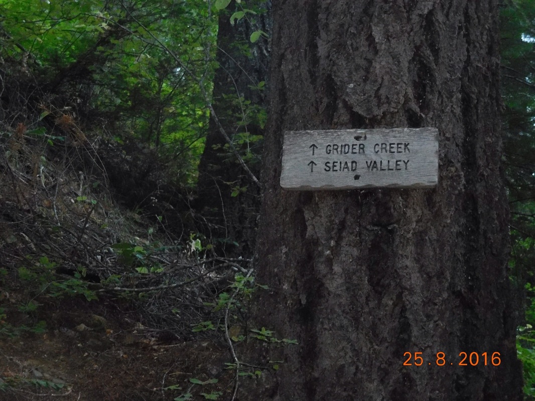
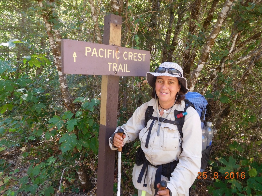
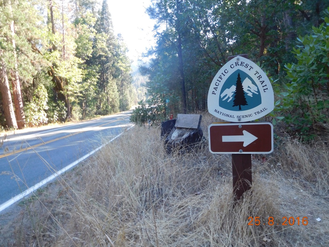
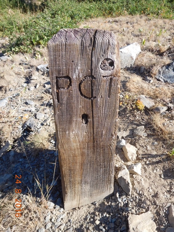
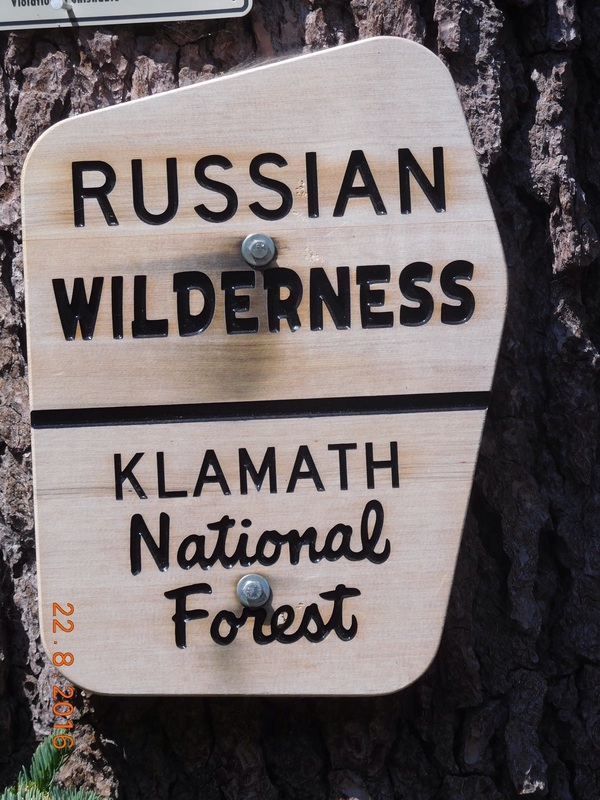
Today’s PCT sign of the day is a traditional one:
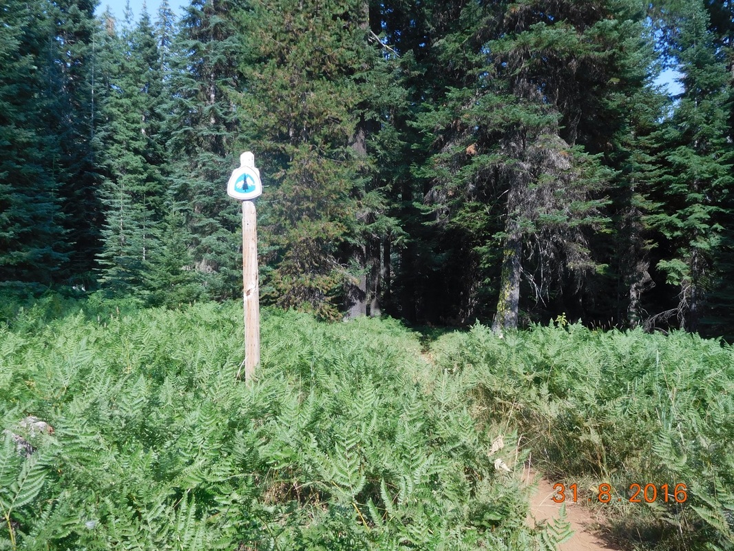
Picture
PCT sign of the day
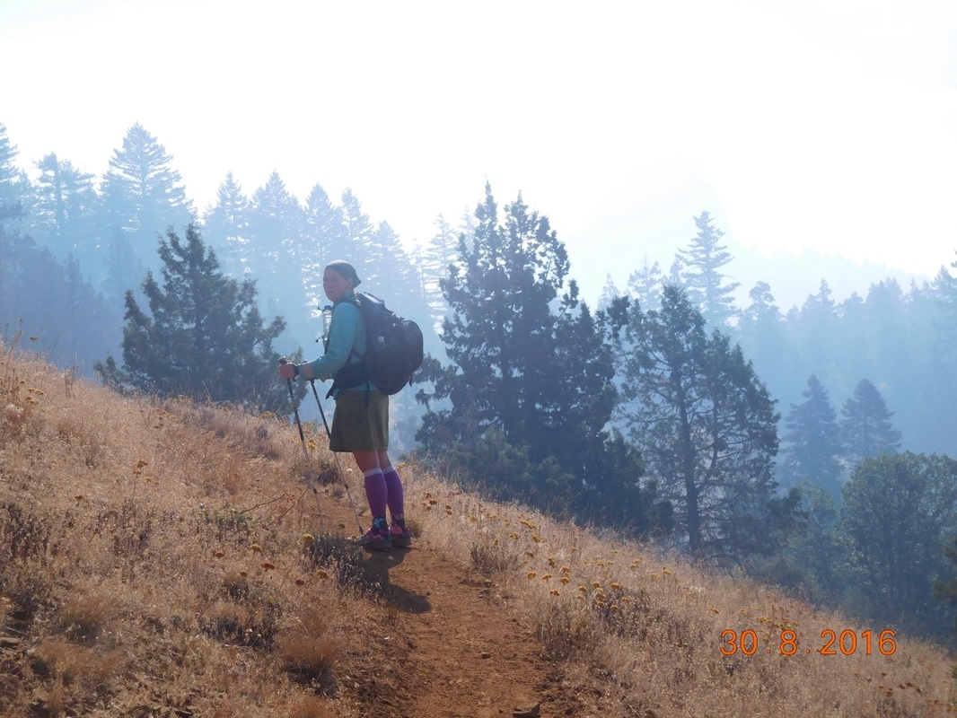
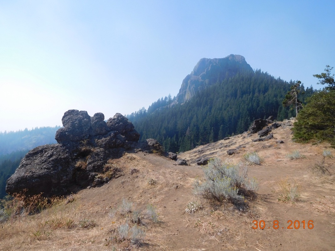
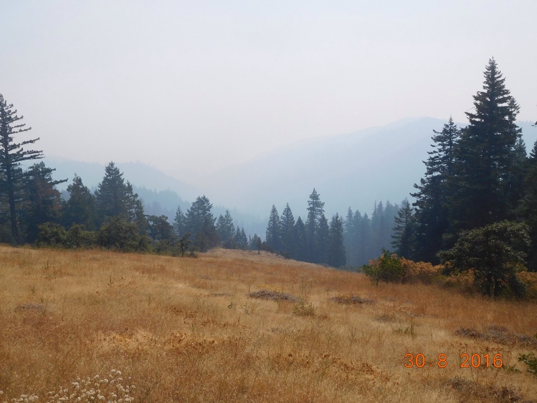
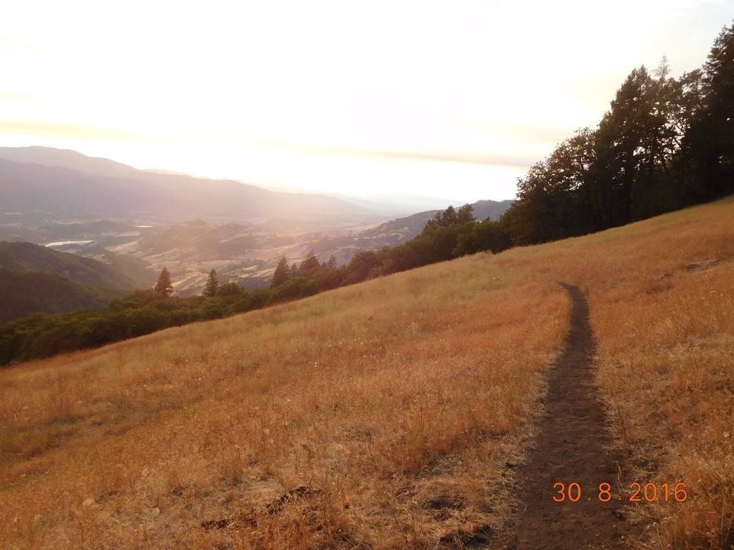
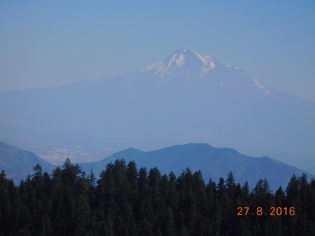
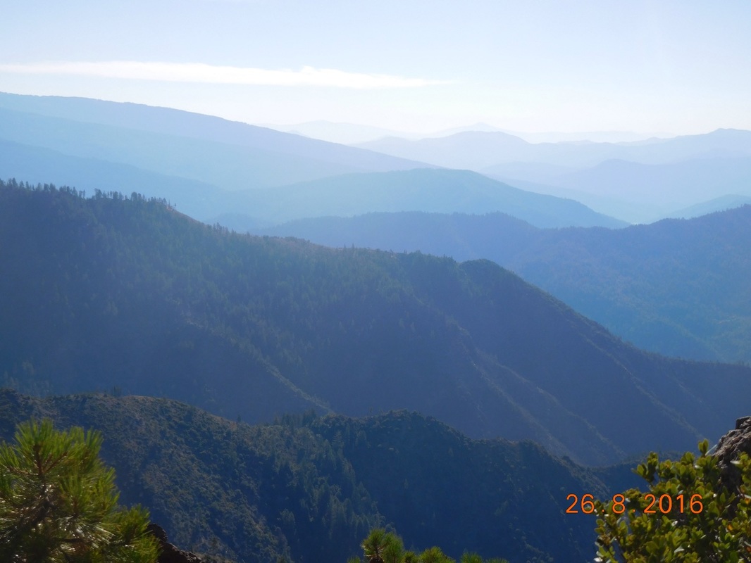
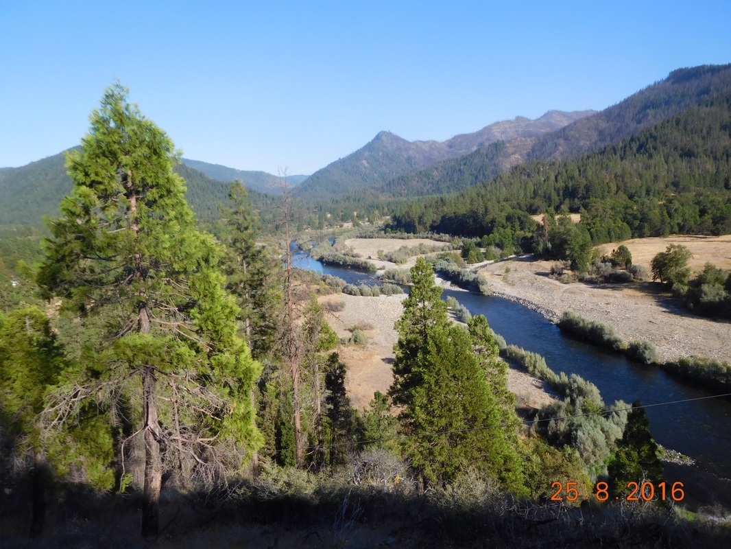
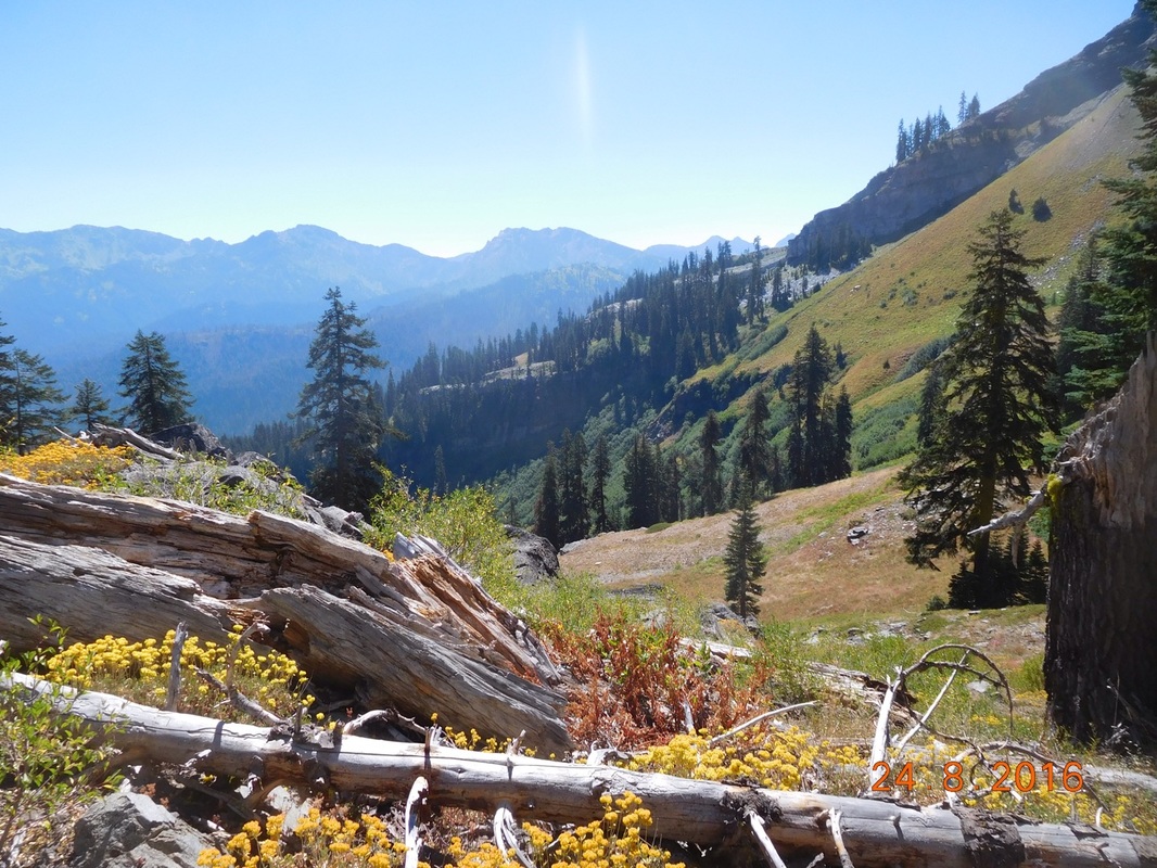
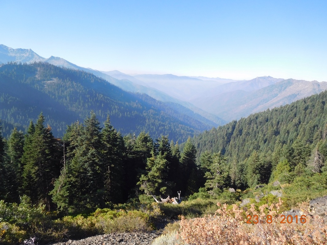
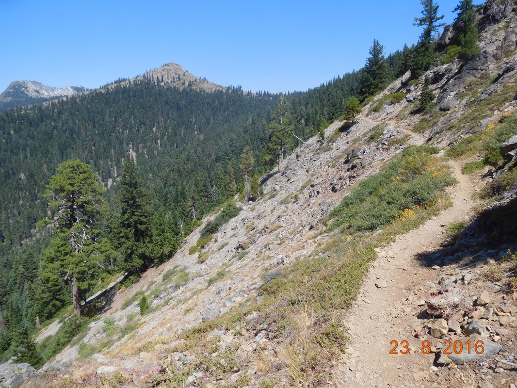
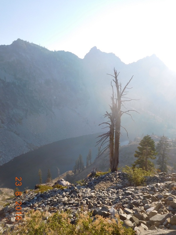
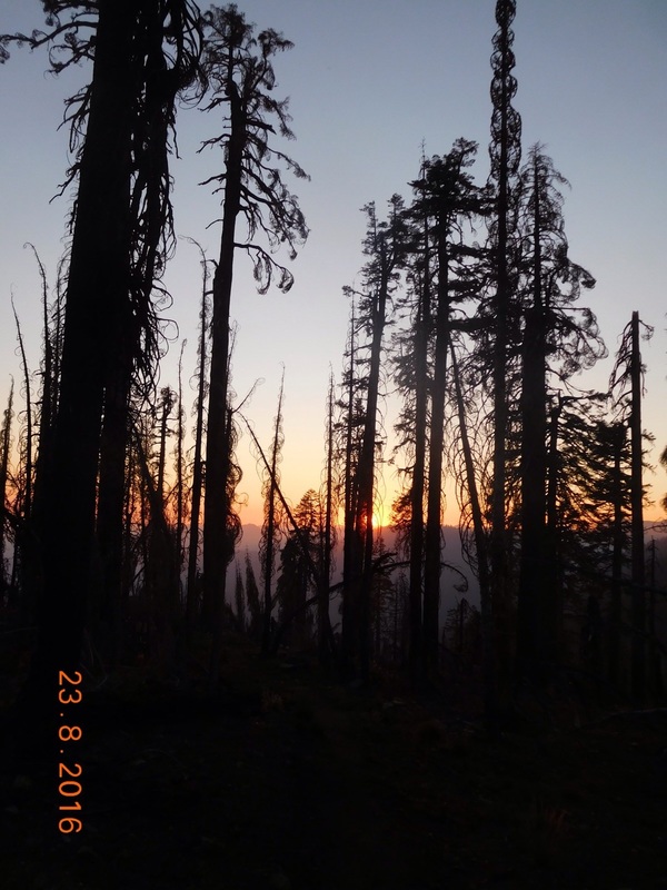
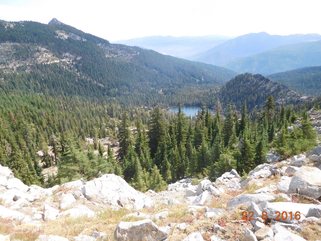
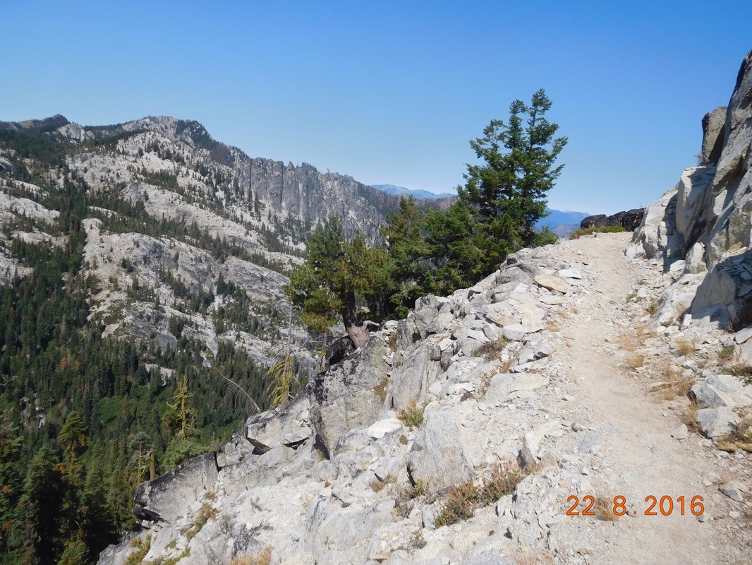
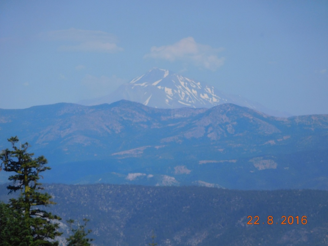
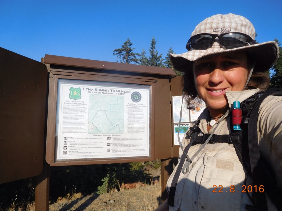
Unfortunately there is still smoke in the air from the Gap Fire near Seiad Valley.  As a matter of fact, 33 miles of the PCT near Seiad Valley is closed as of today.  We are so lucky that we got through there before the closure.
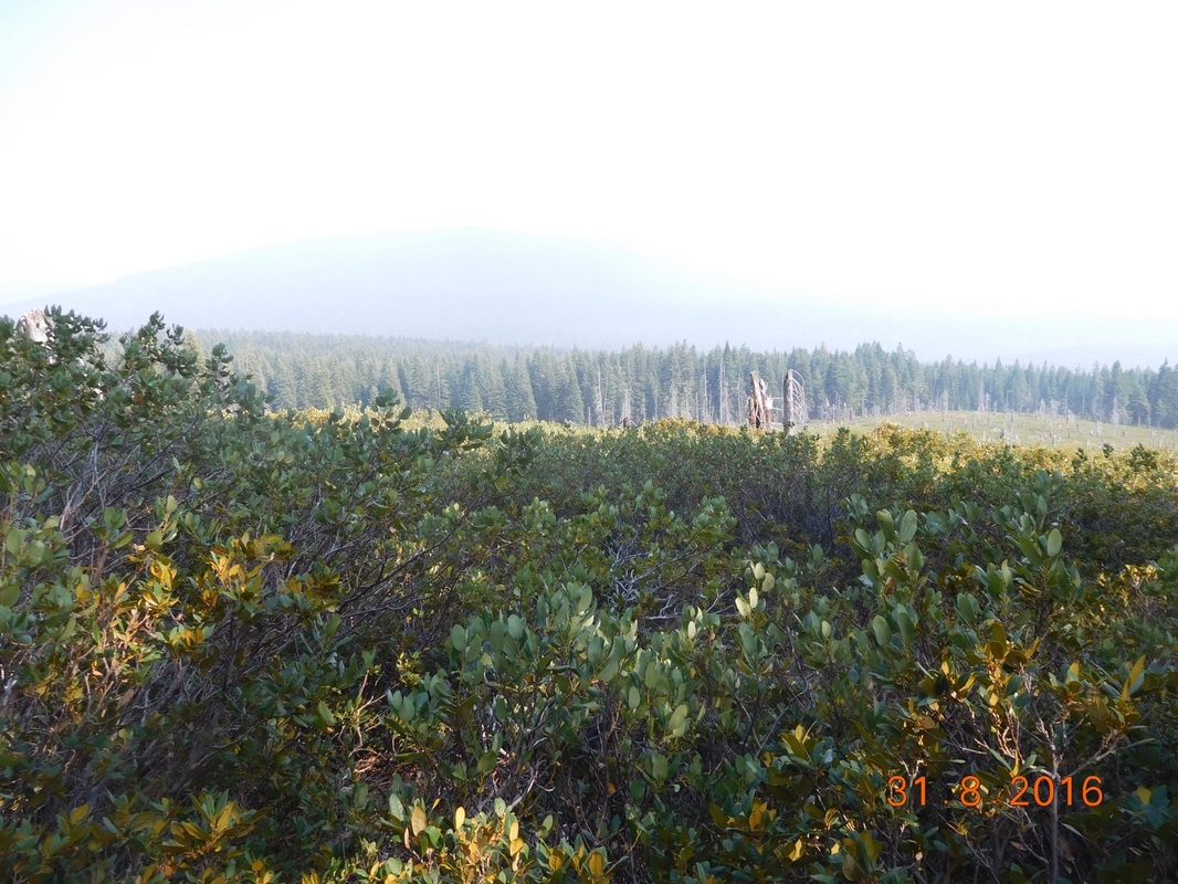
Picture
Smoky mountains.
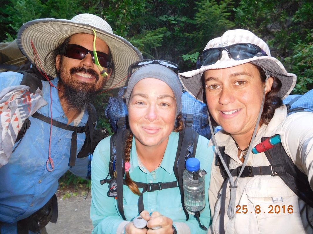
Right at 5:00 PM I saw a southbound hiker eating a sandwich as she was hiking.  I asked her if she didn’t have time to stop and eat her sandwich instead of hiking and eating at the same time.  I then saw the woman hiking behind her and recognized them as the two women attempting the unsupported record of the PCT.  They are hiking 51 miles per day and hope to finish the entire trail in less than 60 days!  To put it in perspective, we have 900 miles to go and they have 1600 miles to go.  They will probably get to the southern terminus before we get to the northern one.
Picture
Pop Tart in the background and Papi going for the unsupported record.
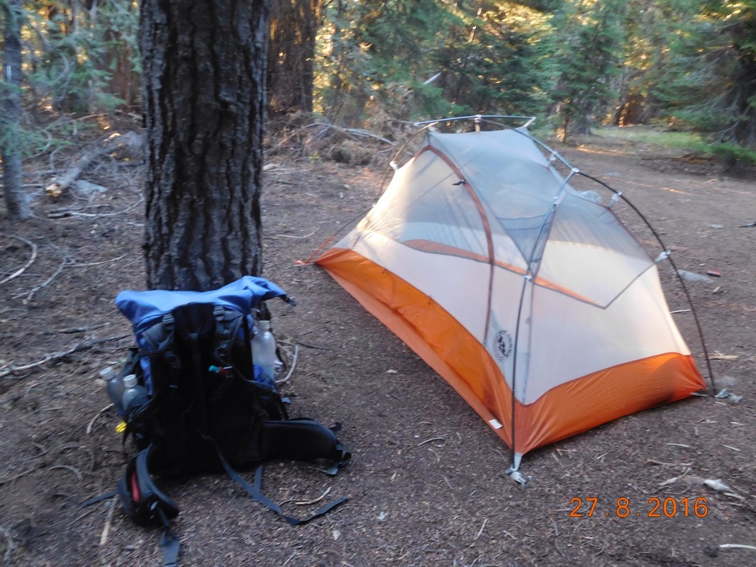
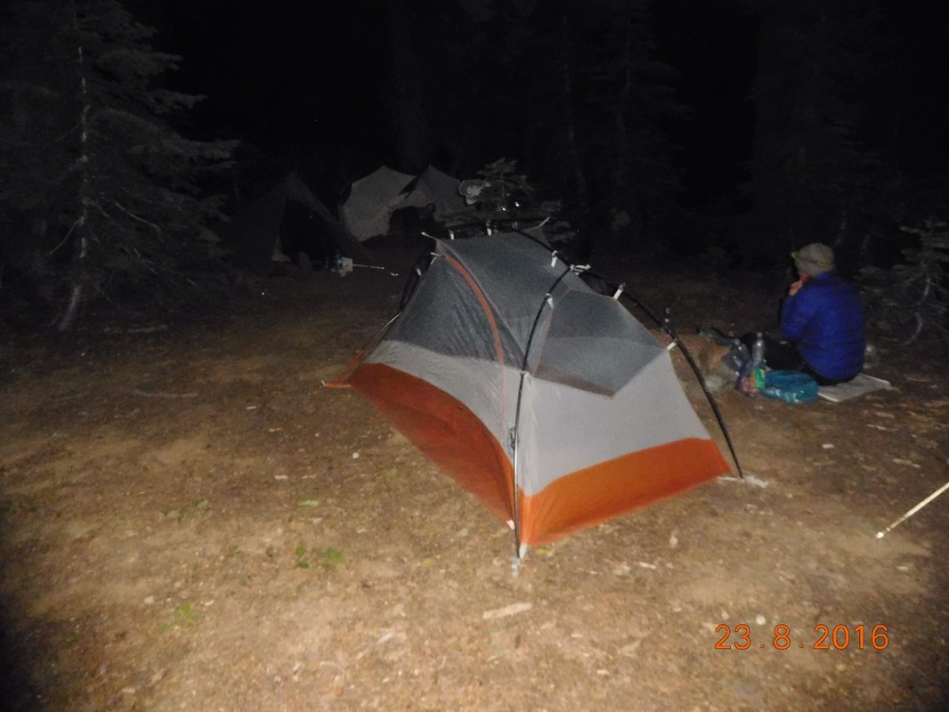
After 21.64 miles we met Tim and all decided to head down the mountain with him and stay in his hotel room. This also allowed us to eat some Japanese food for dinner which Share Bear and I have been craving for a while.

Tomorrow we slack pack for the first 11 miles or so and then we are on our own for the next 2 days to Crater Lake.  Until tomorrow…
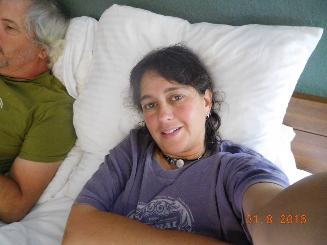
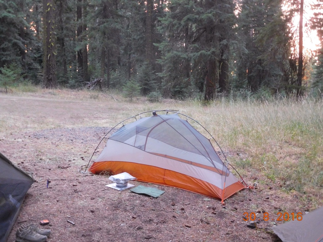
Picture
Home for the night.
0 Comments

Day 133 (30 August) - Mile 1716.19 - 1737.45

8/30/2016

0 Comments


Paved Old Highway 99 (Staying at Callahan's Lodge) to Campsite at Mile 1737.45

I awoke in the incredibly comfortable bed just after 6:00 AM which was lucky since I didn't set an alarm. I took a shower because I could and then prepared my backpack for the day. I then went to the lobby to eat my yogurt, sushi, pretzel roll breakfast that I picked up at Trader Joe's yesterday. Many of the hikers that were at dinner last night were in the lobby waiting for breakfast to open.

We were finally ready to leave when Share Bear asked Blackout if he needed a ride to the trail which he did, so we all piles in the 4Runner for the 1 mile drive up the road.

We were all ready to hike by 8:24 AM, a bit later than we anticipated. 
Picture
Ready to hike with Blackout
Today's hike doesn't look to bad. Pretty much a roller coaster all day staying within 1,000 feet. Plus, we get to slack pack for 17 miles.  Today should be a great day.

First we had to hike 0.56 miles of road before getting back on a trail:
Picture
Self-portrait "Getting back on trail"
We saw a PCT sign that we haven't seen before:
Picture
PCT sign of the day #1
As we climbed up a bit from the road the smell of smoke filled the air. There is a fire south of us by Seiad Valley where we were a few days ago and the smoke is blowing this direction. Check out the smoky sky behind Share Bear:
Picture
Smoke fills the air
I know when we crossed into Oregon it was just an imaginary line, but for some reason the trail looks and feels really different from the trail in California. 
Picture
The Oregon PCT
This rock formation is called Pilot Rock:
Picture
Pilot Rock
As we hiked further north the smell of smoke subsided, but the mountains in the distance were still hidden behind smoke.
Picture
Smoky mountains
I love these wooden PCT signs:
Picture
PCT sign of the day #2
We approached a trailhead and was surprised by an outhouse. It was clean and smelled good...what a great find!
Picture
So happy to find an outhouse
Wow...this trail is so amazing!
Picture
PCT through meadow with view
We met Tim almost 17 miles into our hike to get the rest of our gear. We still have just over 4 miles to hike to get to our planned campsite. After leaving Tim, we will see him tomorrow morning, we hiked on and arrived at the campsite just after 7:00 PM. Not bad...we covered 21.25 miles by 7:00 PM and didn't start the day until almost 8:30 AM.

When we arrived at the campsite there was a tent and a chair set up but no one around. There was a road right there, so we figured someone would show up eventually. We all ate dinner and were in our tents before 8:30 PM. For some reason I was quite tired and had to stop blogging around 9:15 PM, so this entry is being concluded at lunch the next day.

I would say "until tomorrow," but it already is, so until tonight...
Picture
Home for the night.
0 Comments

Day 132 (29 August) - Mile 1716.19

8/29/2016

0 Comments


Paved Old Highway 99 (Staying at Callahan's Lodge)

We woke in the awesome hotel room with all intentions to hike out of here today. We all agreed to meet for breakfast when they open at 8:00 AM and then prepare our food for the next 12 days and hit the trail around noon.

Share Bear and Brad beat Tim and I to breakfast so we joined them as they were just getting some of their food. As we were waiting for ours, I said that it would be nice if we could take a zero today. Share Bear said it wouldn't take much to convince her to take a zero. We then all went through reasons to take a zero with the top ones being all our feet issues. Share Bear went to the front desk to see if our rooms were even available for a second night and returned saying she extended us until tomorrow. So there it is...we are taking a zero in the Ashland, Oregon area.

The following was accomplished during the zero:
  • Ate a wonderful breakfast at the lodge
  • Watched TV
  • Updated blog
  • Prepared food for the next 12 days to get me through Sisters, OR
  • Went to REI in Medford, OR
  • Went to Trader Joe's
  • Went to Swing Tree Brewery in Ashland, OR
  • Drank some Lithia water in Ashland town center
  • Bottled some Lithia water for Share Bear to try Retuned to hotel where Share Bear tried said water
  • Ate all-you-can-eat pasta dinner at the hotel whew many other hikers were including Sunshine!
  • Socialized with said hikers till 10:00 PM
  • Retuned to room where Tim lit a fire in the fireplace
  • Fell asleep quite quickly 
Picture
Share Bear disgusted at the Lithia water
0 Comments

Day 131 (28 August) - Mile 1700.10 - 1716.19

8/28/2016

0 Comments


Campsite in the wooded saddle to Paved Old Highway 99 (Staying at Callahan's Lodge)

Finally posting this blog entry, but there is no text to go along with it.  When I spend the night on the trial it is much easier to blog, but nights in a hotel room in seems to be impossible.  Oh well...they say pictures are worth one thousand words.
Picture
Ready to hike
Picture
Morning view of Share Bear leading the way
Picture
Trail angels left chairs for us to relax in
Picture
Brad and I relaxing for a bit
Picture
Almost to the last interstate crossing before Canada
Picture
0 Comments

Day 130 (27 August) - Mile 1677.67 - 1700.10

8/27/2016

0 Comments


Campsite by unpaved road 47N81, California to Campsite in the wooded saddle, Oregon

It was a good night sleep for our last night in California, except for a truck passing by at 1:30 AM. I guess we should have thought twice about camping on the side of a dirt road during hunting season. Actually, the truck passing by in the middle of the night wasn't as bad as the truck that passed by as I was in the squatting position taking care of my morning business. I waved at them as they passed and said, "Good timing."  I guess as they passed by Share Bear and Brad they were laughing.

Anyway, we all did our typical morning stuff and somehow we were all ready to hike at 7:08 AM, beating yesterday's record by 3 minutes. 
Picture
Ready to hike
It's dealt not too surprising that we were all ready to hike early since we have an epic day in front of us. Today we finally cross the boarder into Oregon! And, in case that isn't enough, we will also be passing the 1,700 mile mark. But first, as usual, we have a 2.5 mile climb to accomplish.
Picture
Share Bear leading the morning climb
As we were climbing, Share Bear came to a sudden halt and I looked to the left and saw a big, brown animal that I thought was a bear, but it was just a cow and a calf. It's weird seeing cows out here in the middle of nowhere. 
Picture
Cow and calf
Check out my great views of the PCT with Share Bear in front of me:
Picture
Share Bear on the amazing PCT
And Brad just behind me:
Picture
Brad on the PCT
Today there was plenty of spring water available on the trail. This was a really good one with a PVC pipe delivering the water.
Picture
Typical spring on the PCT
Just before crossing the border into Oregon, I stopped for my last self-portrait in California.
Picture
Self-portrait "Goodbye California"
Finally, after 1,689.17 miles of hiking, we made it to Oregon!
Picture
On the border between California and Oregon
Just after we showed up Doc, Bigfoot, and Blackout crossed the border as well. We all signed the trail register and hung out amazed that we had made it.
Picture
Hanging out at the border
Picture
Proof I am standing at the Oregon/California border.
Of course I had I take my first photo of Oregon right after I crossed the border.
Picture
OREGON!!!
Of course, even though we are now in Oregon, Mount Shasta still seems to be following us.
Picture
Mount Shasta from Oregon
This big bowl of a valley just mesmerized Share Bear and I. We must have stood there for 5 minutes just staring and taking it in.
Picture
Amazing valley view.
And of course, I had I take my first Oregon self-portrait:
Picture
Self-portrait "Hello Oregon!"
10.83 miles after crossing into Oregon we hit a new milestone, the 1,700 mile point. Bigfoot, Doc, and Blackout were already here taking a break.
Picture
Proof I'm standing at PCT mile 1,700
Picture
My 1,700 mile pose
Just 0.10 miles past the 1,700 mile point was our campsite for the night. Tonight is our first night in Oregon. From the start of planning this hike it seemed almost impossible that I was going to make it this far. No matter what happens now, I can always say that I thru-hiked the entire state of California with continuous footsteps from the Mexican border to the Oregon border...just incredible!

We now have 950 miles to the Canadian border with the border of Washington 444 miles away. Believe it or not, these numbers seem very doable at this point. We just need the weather to cooperate though the Cascade Mountains of Washington.

Well, enough dreaming of the next border and time to get to sleep. We have 15 miles of hiking between us and Ashland, Oregon tomorrow. We actually plan on waking up a bit earlier, at 5:45 AM, in order to get into town a bit sooner. We don't plan to take a zero in Ashland, so we want to have as much time as we can to get all our chores done in town. So, until tomorrow...
Picture
My first Oregon home for the night
0 Comments

Day 129 (26 August) - Mile 1658.03 - 1677.67

8/26/2016

0 Comments


Campsite at mile 1658.03 to Campsite by unpaved road 47N81

The temperature was perfect last night allowing me to sleep very well. I've got a crazy foot fungus or something going on, so I kept my feet outside of the sleeping bag to allow them to air out. With the nice temperature that wasn't a problem.

I awoke right at 6:00 AM and Zeth was gone by the time I got out of the tent. Lots of hikers out here get up and go way earlier than us. We might actually have to start waking up earlier to cover the longer miles in Oregon, but I'm not ready to discuss waking up at 5-something.

Somehow we all ate breakfast, got our stuff together, and were ready to hike at 7:11 AM...this may be a record for the three of us.
Picture
Ready to hike in record time.
Today's hike starts off continuing the climb we started yesterday. We have about 4 miles left and over 2,300 feet of climbing. The first 2 miles were really steep, so it was good that we were fresh and there was a cool breeze at the start of the day.
Picture
The morning climb
The climb was terrible, but the scenery was incredible.
Picture
Incredible scenery
And the climbing just continued...
Picture
Climbing, climbing, and more climbing
We made it near the top where there was a view of a small lake that was shaped like a lily pad and full of lily pads. I said to Share Bear to check out the lily pad lake. A few minutes later there was a side trail to the lake with a sign saying "Lily Pad Lake."  What a great name.
Picture
View of Lily Pad Lake
Onward we hiked to our lunch stop:
Picture
Share Bear leading the way
We stopped for lunch by an unpaved road and an awesome piped spring that put out delicious, ice cold water. While eating lunch Blackout showed up followed by Doc and Bigfoot. We somehow mismanaged our time because we didn't leave from lunch until 2:50 PM and we still had 12.5 miles to go to our planned campsite.
Picture
Self-portrait "Time flies during breaks"
We hiked hard and made it to Bear Dog Spring where we stopped to collect and filter water. While there Blackout showed up followed by Doc and Bigfoot and then a Decaf who is hiking southbound showed up. He is a Brit living in Australia and is hiking from Canada to Mexico. After much taking we realized that one hour has passed and it was after 6:00 PM. We still had 7 miles to get to our planned campsite. Great...some more mismanaged time.

More hard hiking for one hour allowed us to cover just over 3 miles, but it was now just after 7:00 PM and we knew we wouldn't mKe 4 more miles before dark.
Picture
Share Bear contemplating the late day
We looked at the map and saw a road one mile further and decided to stop there instead of hiking 4 more miles. When we arrived at the unpaved road we were lucky to see a nice, flat campsite that could easily fit us so we stopped right at 7:30 PM, three miles short of our goal...oh well, we will make up the miles tomorrow.

Speaking about tomorrow...we will be crossing over into Oregon around lunchtime meaning tonight is our last night in California...unbelievable!!

Well...it is now 10:00 PM so I think I will get to sleep and enjoy this last California night. 
Picture
Home for the night
0 Comments

Day 128 (25 August) - Mile 1639.10 - 1658.03

8/25/2016

0 Comments


Campsite on Cold Spring Creek to Campsite at mile 1658.03

Sleeping was awesome with the sound of the creek.  Blackout and Stitch camped there too, but they were up at 4:45 AM and out very quickly. I woke up for a minute when I heard them get up, but then I was able to fall back asleep. I then woke up and it still looked dark. When I looked at my watch it was 6:06 AM...wow...the sunrise is now after 6:00 AM which is not fun since we have to wake at that time to get our miles in. I better get used to this if we want to finish.

We had to collect and filter water before leaving, so we weren't ready to hike until just before 7:30 AM.
Picture
Ready to hike
Today we have 14.33 miles to get into Seiad Valley where there is a cafe that we heard was pretty good. Also, Tim is meeting is there for our resupply to get us to Asland, Oregon...yes, you read that right, we will be hiking into Oregon during this 3 day stretch. 
Picture
Sign in tree saying that Seiad Valley is this way
This is the view we had for the first 7.81 miles of today's hike. This is also the last view I had of Share Bear.  About 7 miles in we found a note from her saying that she was anxious to get into town and she would see us there. You see, the cafe closes at 2:00 PM and she was worried that we might not make it.
Picture
Morning view and last view of Share Bear
So, Brad and I enjoyed the hike together san Share Bear. Here we are very happy that this bridge is still standing since the last two were burned down and we had to make some precarious river crossings.
Picture
Happy for a bridge.
Check out this photo of a burned tree with sap icicles on it:
Picture
Sap icicles
We made it to the Grinder Creek Campground at 10:48 AM where they had this cool PCT sign:
Picture
PCT sign of the day #1
Now the not so fun part of today's hike begins. The PCT now turns into a 6.52 mile road walk into Saied Valley. At least they put up cool road signs for us:
Picture
Yes please
About 3 miles into this road walk we hit the point where we have only 1,000 miles to go to get to the Canadian boarder!
Picture
1,000 miles to go!
There was nothing on the side of the road commemorating this, so I made my own:
Picture
1,000 miles to go pose
We had to walk on a road, but there were incredible blackberry patches that we helped ourselves to, and really nice scenery.
Picture
The road walk along the Klamath River
Finally, at 1:13 PM we made it to Seiad Cafe. Tim had passed us on the road, so he was there as well as Share Bear who was just finishing up.
Picture
Made it before closing!
After stuffing ourselves with sandwiches, french fries, and milkshakes we went outside to the hiker hangout they setup for us. As we were there, many other hikers who we have met before showed up and hung out. We saw Bigfoot, Doc, Blackout, Stitch, Cheeto Burrito, Detour, and the Canadian Brothers. New to meet was Zeth and Grateful Red.
Picture
Everyone hanging at Seiad Cafe
The reason everyone was hanging out was that it was hot and the next 8 miles of the trail is pretty much straight up a mountain, so no one was ready to tackle that yet.

As we sat there and assessed the situation, we knew that if we wanted to ensure we can stay in our planned campsite for the night, we better get moving before these others leave and take the site. After 4 hours of chilling at the cafe we finally broke away and started hiking.

We still had 0.78 miles of road hiking and then the PCT finally got back on a trail.
Picture
PCT sign of the day #2
Now the crazy climb begins. Our planned stop is 3.83 miles up trail with almost 2,500 feet of gain...crazy. During this climb we got a great view of the Klamath River.
Picture
Great view
After 2 hours and 20 minutes of pure climbing we made it to our campsite for the night. I was so tired that I set up my tent, ate a pepper a local woman gave me from her garden, and climbed into my tent.

I finished last night's blog and now am actually finishing up tonight's. As I was lying here Share Bear cooked her dinner right at the foot of my tent:
Picture
Great view out my tent
Also as I laid here, Zed, Cheeto Burrito, and Detour showed up. There was room for Zeth to pitch here, but Cheeto Burrito and Detour had to look further up trail.

It is now 10:15 PM so I better get to sleep. We are just halfway up this climb and will be finishing the last 4 miles of it tomorrow morning, so until then...
Picture
My home for the night.
0 Comments

Day 127 (24 August) - Mile 1615.98 - 1639.10

8/24/2016

0 Comments


Campsite at mile 1615.98 to Campsite on Cold Spring Creek

I heard the brothers wake up at 5:30 AM as they said they would, but then they went back to sleep till 6:00 AM when we all got up. They quickly packed up their bags and left before I was even out of the tent. After our typical morning ritual, we were ready to hike by 7:22 AM.
Picture
Ready to hike
This morning we have some climbing, but after lunch the trail will descend 3,000 feet.

First for the climbing:
Picture
Self-portrait "Taking a break from climbing"
Views on the way up:
Picture
Wow!
Picture
Beautiful
Picture
The trail climbs
We planned to stop for lunch at a trail crossing and got there to find no great place to rest. We saw a patch of trees and cleaned up the sticks and made it work. We left lunch at 3:00 PM with 10.15 miles to hike to our planned campsite...OY!

Right after lunch the trail continued climbing just a bit more:
Picture
The climbing PCT
And then it started diving the 4000 feet to our campsite.

Check out this amazing three-forked tree by a spring that we collected and filtered water by:
Picture
Posing on a cool tree
Picture
Looking up at tree #1
Picture
Looking up at tree #2
On the way down this random PCT post was on the side of the trail:
Picture
PCT sign of the day
We made it to the Cold Spring trailhead just before 6:00 PM with 4.14 miles to go. I was pretty done for the day, so 4.14 miles seems like a lot.
Picture
Self-portrait "Done, but not"
My feet started having issues so we stopped for a quick break with 3 miles to go. We hit the trail and I just took a deep breathe and hiked down the 1.816 feet with no break. Somehow I was able to get down there in 50 minutes meaning I averaged 3.66 miles per hour!!

Needless to say, I was exhausted when I got down there. I quickly set up my tent and ate dinner.  Stitch showed up, who we met a few days ago and asked if we saw Blackout. Wow...I haven't seen Blackout since just after Mount Whitney. He finally showed up and we had a nice reunion and then I had to get into my tent since I was so done.

I finished up yesterday's blog and stated today's blog and just couldn't get through it, so here I am the next day finishing up yesterday's blog. Hopefully I will be able to get to tonight's blog.

Oh...I was so tired last night that I forgot to take a picture of my tent, so here is a picture of where I pitched my tent. There is a stream close by, so the sound of the water was awesome.
Picture
Tentsite for the night.
0 Comments

Day 126 (23 August) - Mile 1597.25 - 1615.98

8/23/2016

1 Comment


Paved Sawyers Bar Road [Etna Summit] (Stayed in Etna) to Campsite at mile 1615.98

My last morning waking up in a hotel room for a while. We actually got to sleep in till 6:30 AM which seems like a small thing, but it was awesome. We left the hotel around 7:15 AM and headed to the supermarket to buy some food for the next few weeks. We then headed to the trail and was ready to hike just before 9:00 AM.
Picture
Ready to hike
Today's good news is Brad is back on trail today. We have 2.5 days of hiking to get to Seiad Valley where Tim is going to meet us for a resupply.

As soon as we got on the trail we noticed smoke in the air. It made for a pretty cool picture:
Picture
Smoky skies
Just under three miles from the road we hit PCT mile 1,600. How incredible that I have hiked 1,600 miles!
Picture
Proof I'm standing at PCT mile 1,600
Picture
Mile 1,600 pose
After hiking over 5 miles we were ready for a "shoes-off" break, but there was no place to sit, so we decided to just sit right on the trail.
Picture
Breaking right on the PCT
Check out the incredible scenery we had just before lunch:
Picture
Pre-lunch climb
We stopped for lunch next to a meadow that had about 8 cows grazing in it. It was kind of cool hearing the cowbells while we ate. When we were packing up to leave a woman came by. She was a biologist for the forest service. She was out there examining the local reptiles to see if they are affected by the grazing cows...interesting.

The after lunch view wasn't too shabby either.
Picture
Wow!
Today's hike was pretty challenging. We had to climb 4,252 feet and go down 3,647 feet. What made it even harder was the terrain was very rocky making it difficult to hike. However, the scenery made it all OK:
Picture
Beautiful
Picture
The incredible PCT
Picture
Mountain, lake, and burned tree
Because we started hiking at 9:00 AM, 90 minutes later than we usually start hiking, we were still hiking as the sun was setting. I would have preferred seeing the sunset from our campsite, but then I wouldn't have gotten this great photo:
Picture
Sun setting behind burned trees
Finally, just after 8:00 PM, we made it to our planned campsite. There was already 2 guys set up there so we joined them. It turned out to be the guy with the polka dot shoe print that we have been following for a week now. They are brothers from Calgary, Canada doing a three week section of the PCT.  They usually go to sleep at 8:30 PM, but we kept them up talking till about 10:00 PM...cool guys.

Today we hiked 18.73 miles, short of the 22 we were supposed to do based on our schedule. Tomorrow we plan to hike 23 miles so I better get some sleep.
Picture
My home for the night
1 Comment

Day 125 (22 August) - Mile 1577.55 - 1597.25

8/22/2016

0 Comments


Carter Meadows Summit to Paved Sawyers Bar Road [Etna Summit] (Stayed in Etna)

Another wonderful nights sleep in a motel room. We woke at the usual 6:00 AM and headed out by 7:00 AM. We made a stop at the gas station then arrived at the trail head and was ready to hike just before 8:00 AM.
Picture
Ready to hike
Brad is taking another day off to rest his ankles so it's just Share Bear and I. There is road in 20 miles, so we can enjoy another day of slack packing and looking forward to spending yet another night in town.

Today's hike should be similar to yesterday's with a roller coaster of ups and downs. We were told by other hikers we saw in Etna last night that this 20 miles is beautiful.  From what we saw in the first few hours alone, I would totally agree:
Picture
Share Bear on the beautiful PCT
Picture
Mountains and lake
Picture
View from the trail
Picture
Russian Wilderness sign
The incredible scenery just kept coming:
Picture
Wow!
Picture
Beautiful hiking
Picture
The wonderful PCT
I can't believe that we still have a view of Mount Shasta. We have been seeing this mountain for about 2 weeks now.
Picture
Mount Shasta...still
We stopped for lunch just after 1:30 PM and got back on the trail at 2:40 PM with almost 9 miles left to hike for the day. We thought we should be able to make it by 6:00 PM.

The trail took us through a burn area that looked pretty recent since most of the burned trees were still standing.
Picture
Burn area
And then the hard trail began. He trail was very rocky and hard to hike which slowed us down some.
Picture
Difficult rocky trail.
Picture
Share Bear hiking the rocky trail
There is no way we will make it to the road by 6:00 PM, but it worked out because Tim thought we would be there by 6:00 PM so he showed up just before then and hiked in to us. Because we were running late, he got to hike in 1.5 miles before meeting us on the trail.

We finally made it to the road at 6:20 PM...not too bad. 
Picture
Etna Summit trailhead
We drove back to Etna, showered, got our laundry together, went to the laundromat, went out for dinner, then returned to the motel. Since we got the laundry done tonight we will be able to get on trail at a decent time in the morning. The plan is to leave the motel at 7:00 AM and stop at the grocery store on the way to the trailhead. I can actually sleep in till 6:30 AM tomorrow morning...woohoo. Until then...
0 Comments
<<Previous

    Archives

    October 2016
    September 2016
    August 2016
    July 2016
    June 2016
    May 2016
    April 2016

    RSS Feed

Powered by Create your own unique website with customizable templates.