Campsite at Mile 377.01 to Campsite at Mile 389.46
Somehow I was able to stay warm last night. I heard a breeze all night, but it must have been up the other side of the mountain because the tent didn't flap. I did wear pretty much all the warm clothes I have including hat, gloves, and puffy jacket. Plus, I go deep inside the sleeping bag so I am totally covered...whatever works..right?
I woke before 7:00 AM but stayed in the tent waiting for it to warm up a bit. Finally, at 7:15 AM I got up. When I exited the tent I was happy to see blue skies. Today I will summit Mount Balden-Powell so I was hoping for blue skies so I could take in the view.
I took my time getting ready and was ready to hike just before 9:00 AM.
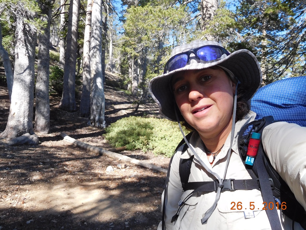
Ready to go.
Today's hike is going to be challenging. It starts by going up to the peak of Mount Baden-Powell, the highest point of the day, and goes down and up and down and up...I don't know how many times. At least the views promise to be amazing.
First for the climb up to the peak of Mount Baden-Powell. From the campsite I have to climb 753 feet in just 1 mile. Luckily part of it is through a pine forest..my favorite.
First for the climb up to the peak of Mount Baden-Powell. From the campsite I have to climb 753 feet in just 1 mile. Luckily part of it is through a pine forest..my favorite.
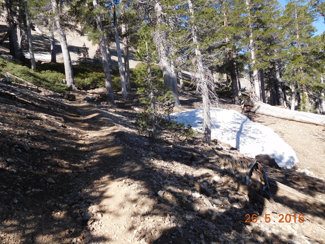
Woohoo...pine trees.
At the trailhead going to the peak of Mount Baden-Powell was a Waldron Tree believed to be over 1,500 years old.
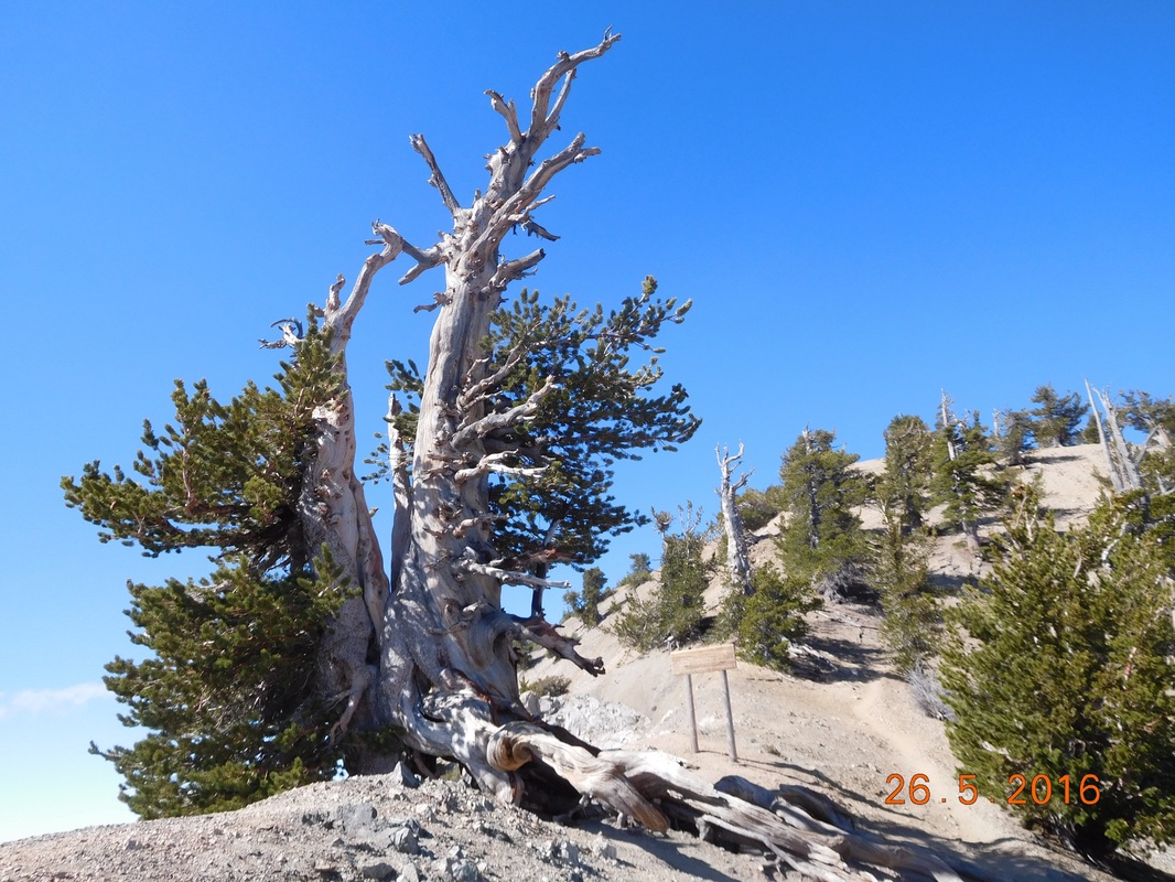
A Waldron Tree
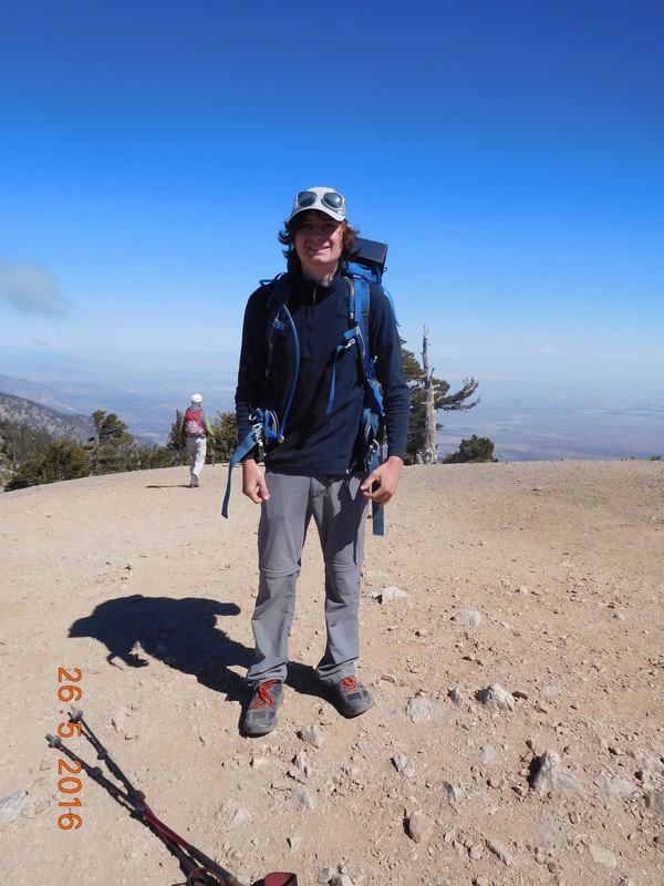
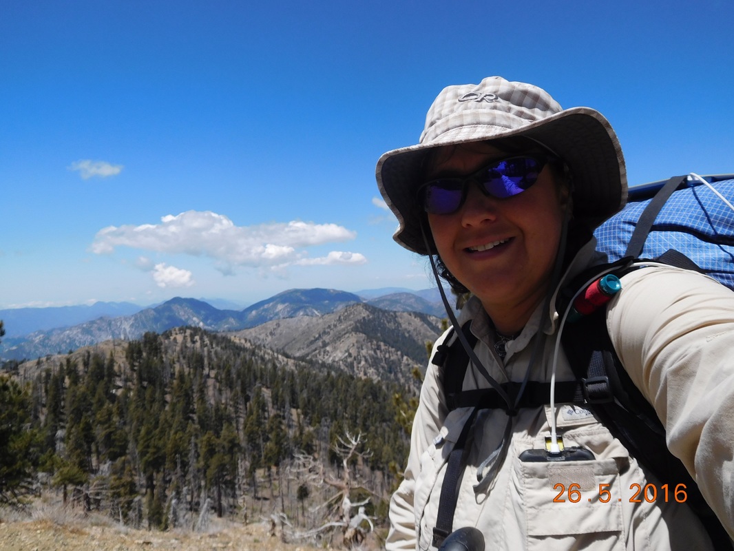
Just a short climb later, I summited the 9,399 foot Mount Baden-Powell. To those of you that think the name is familiar, it is because it was named for the founder of the Boy Scouts.
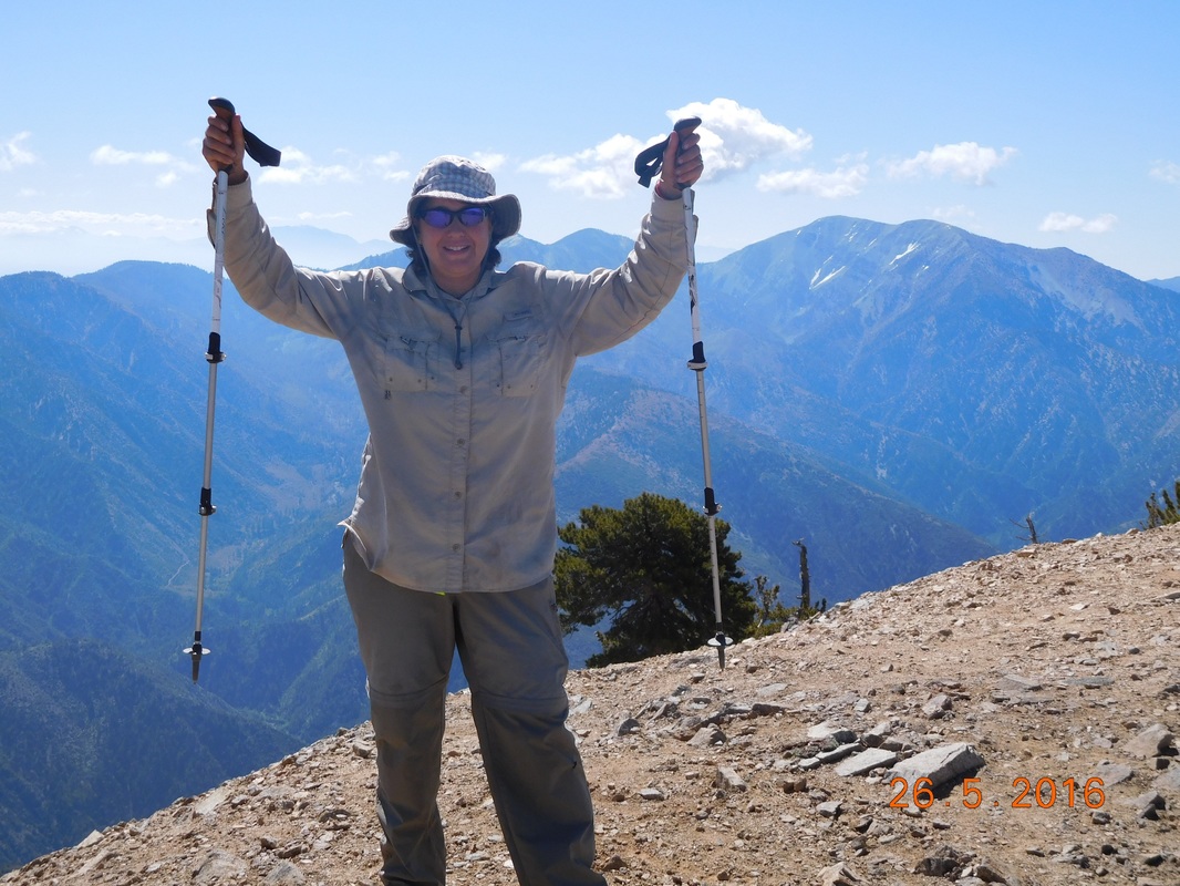
Traditional summit pose.
I bet you were wondering who took that awesome summit picture. Well, Alex, who I camped with last night was on the summit when I got there. I was pretty happy since I didn't get a picture of him last night.
PCT hiker Alex
I figured at this point the hike would mostly be down, but I was wrong. It climbed and dropped. On the way down I met a couple of men in their 70's who were out for a training hike. Their hobby is to bag as may peaks as they can in California. They especially like climbing snow covered peaks. I hop I am like them in 15 years when I am in my 70's! I also talked to another couple out for a morning hike who regularly hike this area instead of going to the gym.
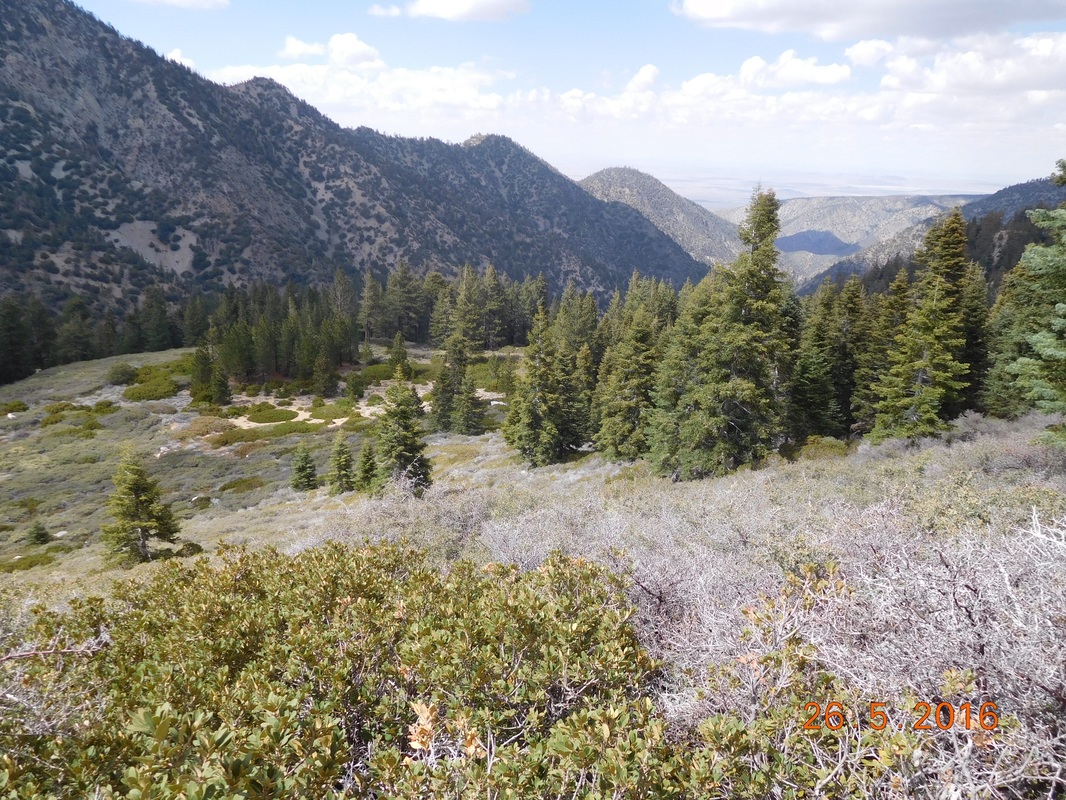
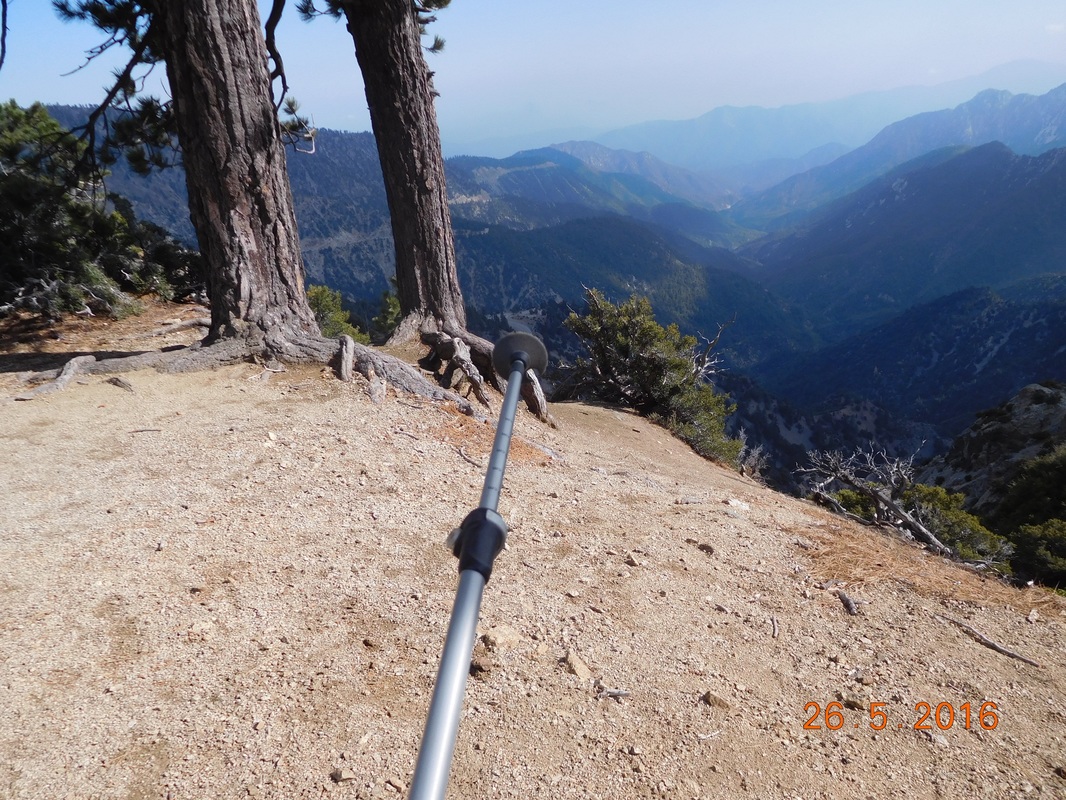
From the peak the trail did go down for a while with an amazing view.
From the peak the trail did go down for a while with an amazing view.
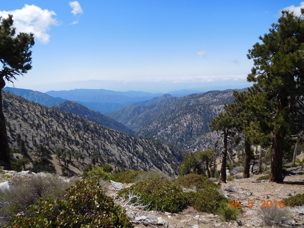
Spectacular
...but then it climbed sharply for a bit. For some reason I have more time to take nature pictures while climbing.
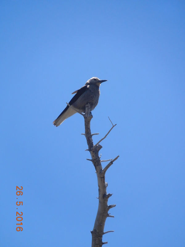
Cool bird.
Finally, at 11:37 AM, I made it up to Dawson Saddle trail junction, 3.5 miles where I started today. It has been a difficult hike so far.
Tired after the climb
At this point the trail drops 2,389 feet in 5.52 miles. Sound fun, right? Actually down is very hard on the feet and knees and hips and back. Plus, my snake bitten ankle is still not 100% and hurts some when it lands uneven. Oh well...I have all day to hike, so I can take my time.
While I took my time, I stopped to take a self-portrait.
While I took my time, I stopped to take a self-portrait.
Self-portrait "Mountain smile"
While heading down I met Goaltech who was hiking southbound on the PCT. He has section hiked over 700 miles of the trail with the goal to eventually complete the entire trail. While he hikes southbound he provides trail magic to northbound hikers offering them their choice of Starbucks Via, a bag of chips, or caramel candy. Check out the 2 extra bags he is carrying for the "magic!" Oh...by the way...I chose the chips.
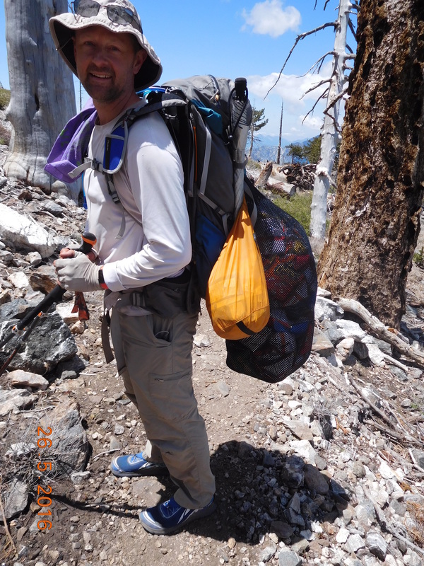
Goaltech providing trail magic on trail
At 1:40 AM I arrived at the much needed Little Jimmy Spring. I was down to 2 liters of water and will probably need to dry camp tonight, so I need 2 more liters to make it to the next water source tomorrow.
After filtering (even though the forest ranger said it isn't necessary) the water was cold and delicious.
After filtering (even though the forest ranger said it isn't necessary) the water was cold and delicious.
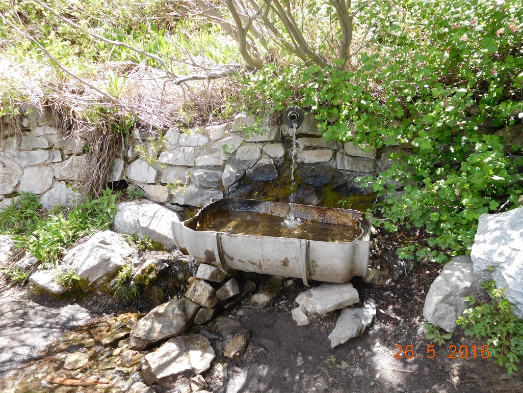
Little Jimmy Spring
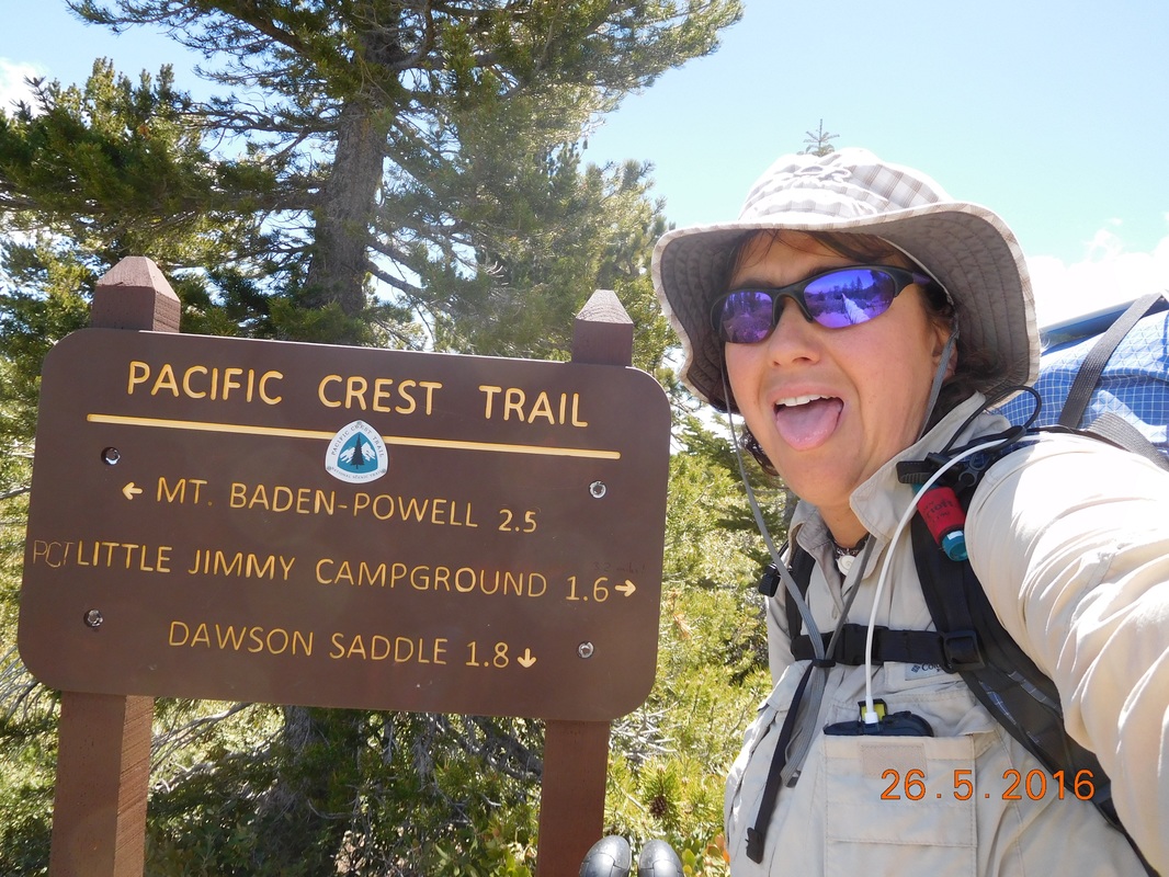
Just up from the spring was Little Jimmy Campground equipped with picnic tables and outhouses. What more do you need for a perfect lunch stop?
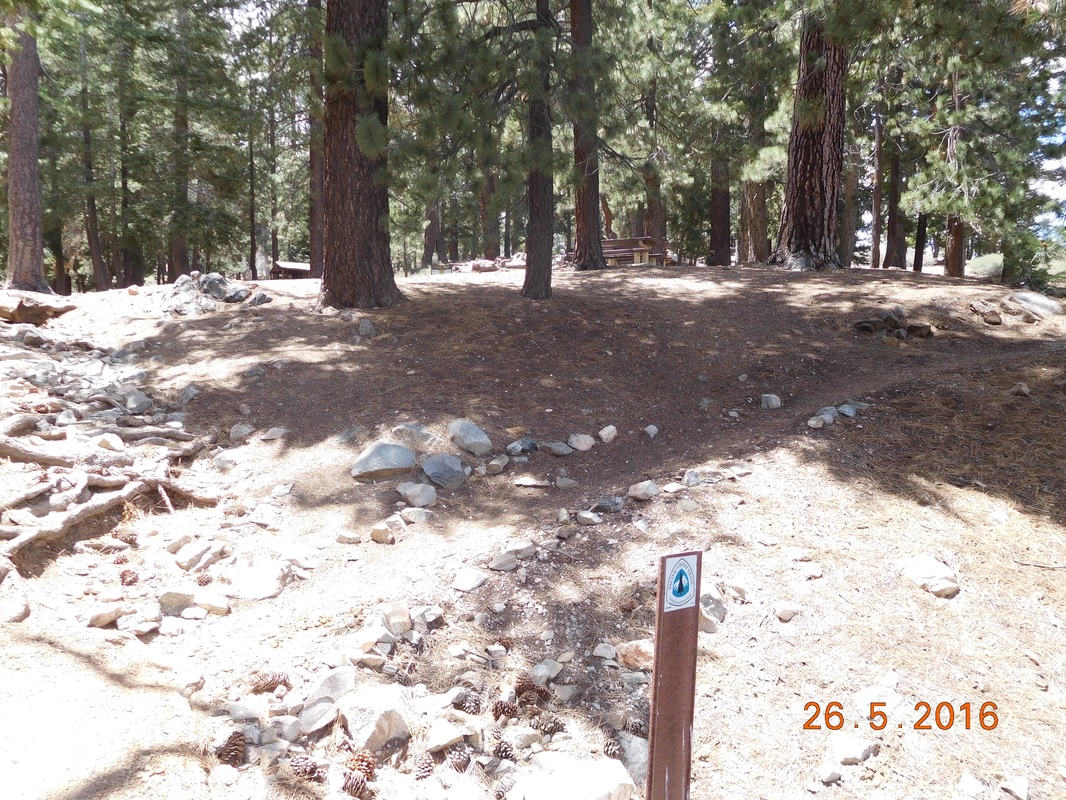
PCT sign of the day with picnic area in background
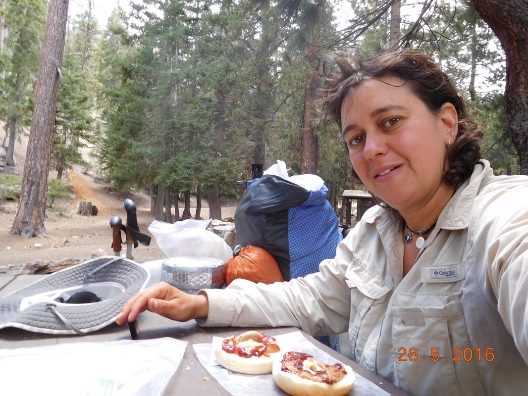
Lunch break with PB&J on bagel
I stayed at the campground for about 1 hour and left at 2:47 PM. I haven't really figured out how far I am going today. I would love to make it to the Buckhorn Campground that I heard is beautiful, but at this point it is 9 miles away which seems pretty impossible. I should at least get within striking distance to it since it is the next water source.
So onward I hike through this incredible scenery where for the next 2.16 miles the trail went down.
So onward I hike through this incredible scenery where for the next 2.16 miles the trail went down.
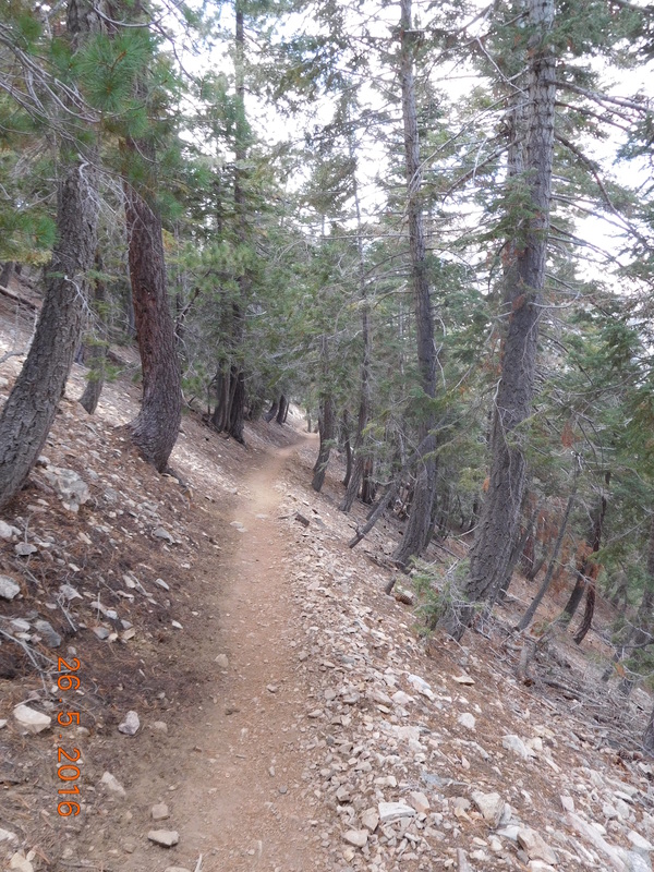
PCT through pines.
Incredible views.
And then, after crossing Highway 2 at Islip Saddle, the trail climbed for the next hour. At least the views were still amazing.
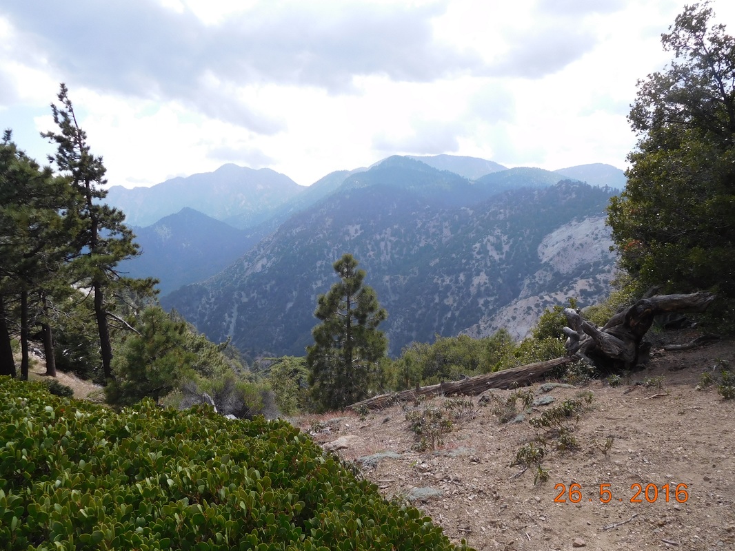
Breathtaking
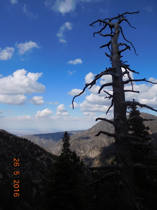
Cool dead tree.
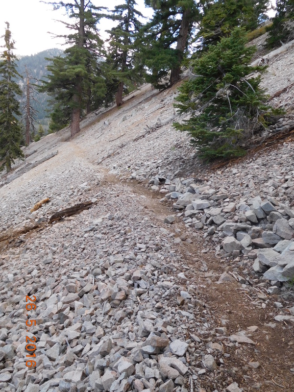
Very difficult climb
At 5:00 PM I reached the top of the climb and had a view of where I started 1 hour and 1,232 feet of climbing ago.
I was way down there.
It was 5:45 PM when I made it to the next Highway 2 crossing. There is a picnic area less than 1 mile away that has an outhouse and picnic tables. I thought I could camp there, but that would be on the side of the road. I decided to head up that way and stop earlier if there is a nice campsite. Just 0.14 miles up the trail I found what I was looking for...a spectacular place to stop for the night.
I am at 6,806 feet, almost 2,000 feet lower than last night, so I'm hoping it isn't as cold. And now that I'm laying in the tent blogging and hearing the wind, I'm hoping the wind doesn't get any worse since this site is a little exposed. Either way, I am pretty tired from today's challenging hike, so I should sleep pretty well. All together I hiked almost 12.5 miles with 4,651 feet of climbing and 2,730 feet of declining. So, goodnight for now.
I am at 6,806 feet, almost 2,000 feet lower than last night, so I'm hoping it isn't as cold. And now that I'm laying in the tent blogging and hearing the wind, I'm hoping the wind doesn't get any worse since this site is a little exposed. Either way, I am pretty tired from today's challenging hike, so I should sleep pretty well. All together I hiked almost 12.5 miles with 4,651 feet of climbing and 2,730 feet of declining. So, goodnight for now.
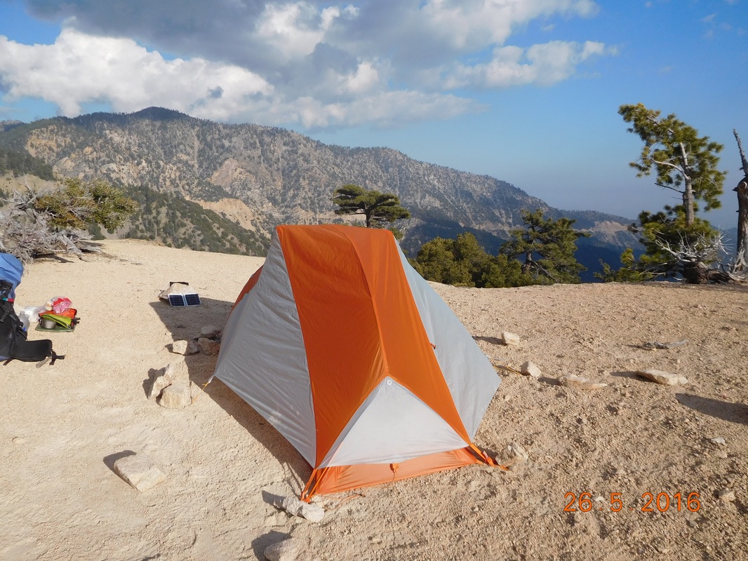
Nice campsite.
 RSS Feed
