Cajon Pass to Campsite at Mile 353.89
I was excited last night knowing that I will be hitting the trail today, but at the same time I was sad knowing it was my last night sleeping in the way comfortable bed in the Wilson's home. What incredible hosts they have been for me. I wouldn't even know where to start to thank them.
We woke at 7:00 AM and got on the road by 8:30 AM. Tim is driving me to Cajon Pass to restart the trail. As we got closer I was feeling kind of nervous. My stomach was in knots or something. Some of the nerves are because I wasn't sure how I would do back on the trail with a full pack. Would my ankle feel OK? How much of my conditioning have I lost after 3 weeks sitting on the couch? How will it be hiking alone, without Brad? Oh...and what if I come across snakes?!?
I knew that once I got started I would feel better, so let's go.
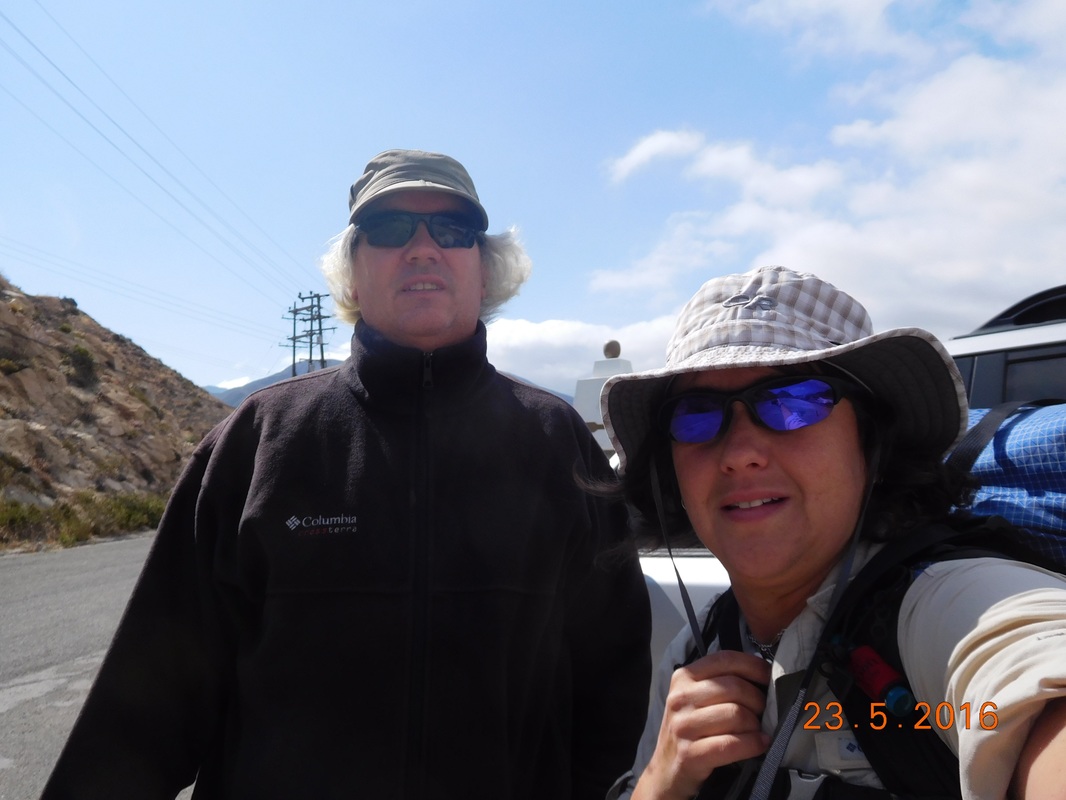
Let's get going!
Tim decided to hike the first mile with me, so that was cool. We started out at just after 9:30 AM. The temperature was a cool 55 degrees...perfect for hiking. The hike started out going under I-15.
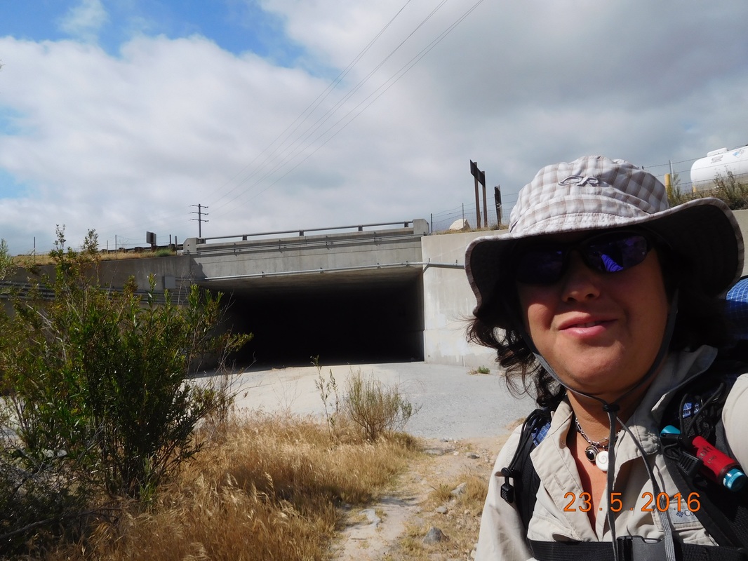
About to go under I-15.
Soon after crossing under the interstate, there was a cute wooden bridge crossing a dry creek bed.
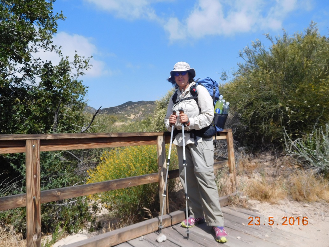
Nice little bridge.
I was really looking forward to today's hike. Not just because I am finally back on the trail, but because this is the day that I get to hike in a new area. At the 5.38 mile point of today's hike is where Tim and I came off the trail 2 years ago when we attempted a thru-hike. That means that I will finally be hiking the part of the PCT that I haven't hike before. No more saying things like "I remember this." Or "Two years ago..."
The next 28 mile of the trail is dry, meaning there is no water source available. For most hikers this means that they would have to carry anywhere from 6-8 liters of water with them. I am lucky. Tim is going to meet me tomorrow at the 15 mile point, so I am only carrying 5 liters. It's not just the dryness of the trail that makes the next 28 miles challenging. It is also the climbing that we have to do. From Cajon Pass tot the exit for Wrightwood we have to climb 8,729 feet. This will really let me know how I'm doing.
Not far into the day, a lizard greeted me on a signpost.
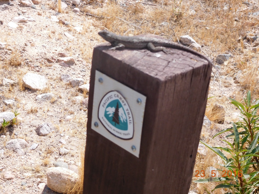
Hi little fellow.
We then walked through this cool pipe tunnel.
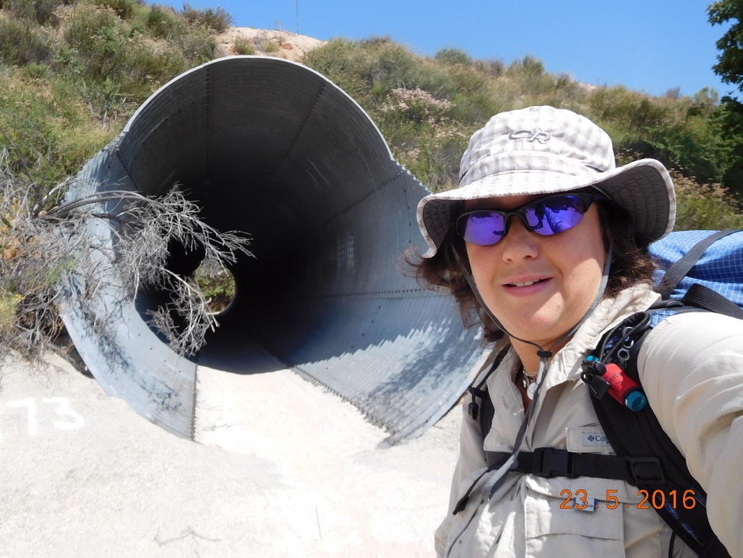
Nifty tunnel.
Then, 1.27 miles into the hike, the trail crossed over railroad tracks.
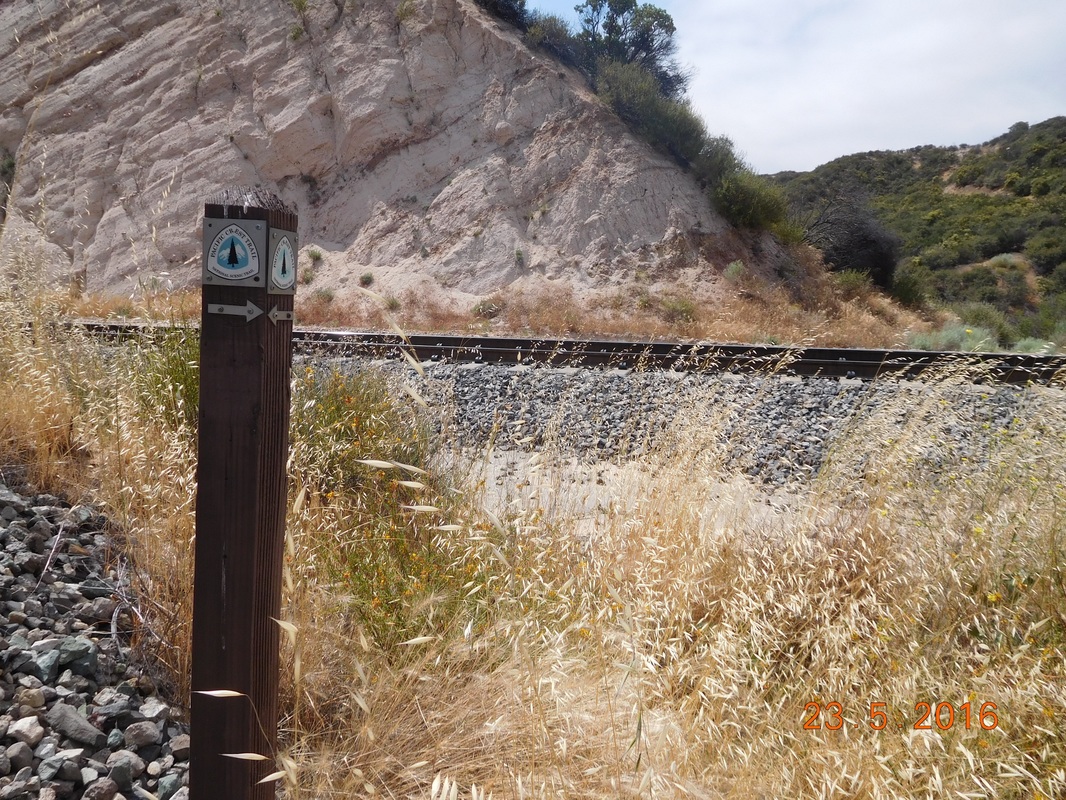
RR crossing.
Check out the beautiful scenery of this mornings hike:
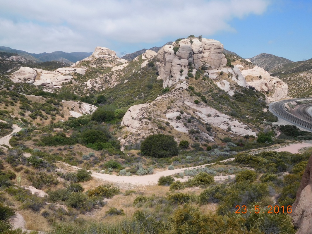
Cool rock formations.
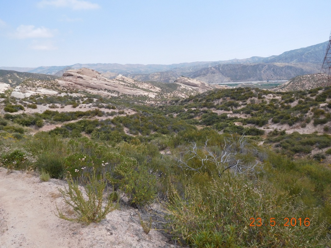
A long view from the trail.
Of course, the thoughts of a snake hidden on the side of the trail was freaking me out a bit today. The parts of the trail like this, wide open and easy to see things was pleasant.
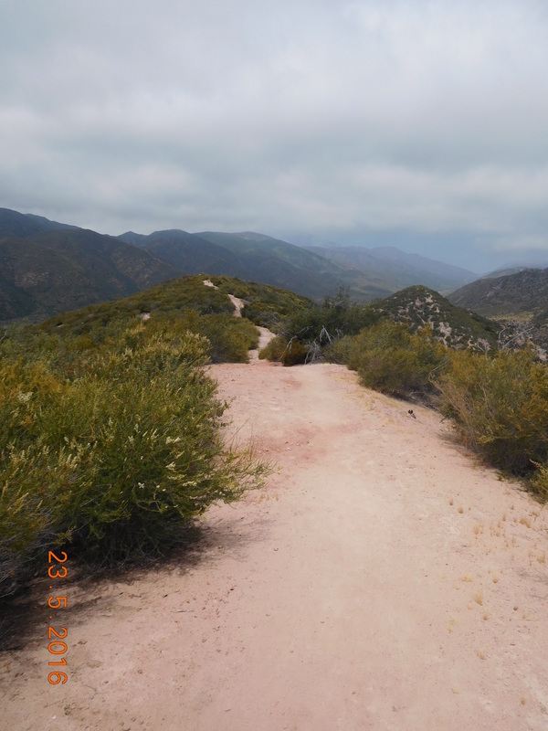
Nice, wide, snake-free trail.
Unfortunately, there were more parts of the trail like this, where the trail is narrow and it is hard to see if a snake is lurking on the side.
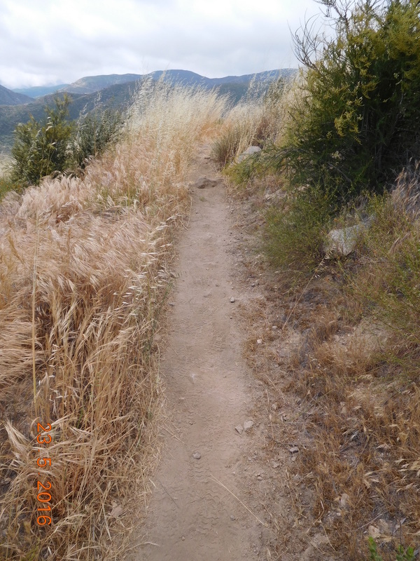
Snake-free trail???
I did keep my eyes open, but I tried not to think about it too much. I tried to focus on the beauty around me.
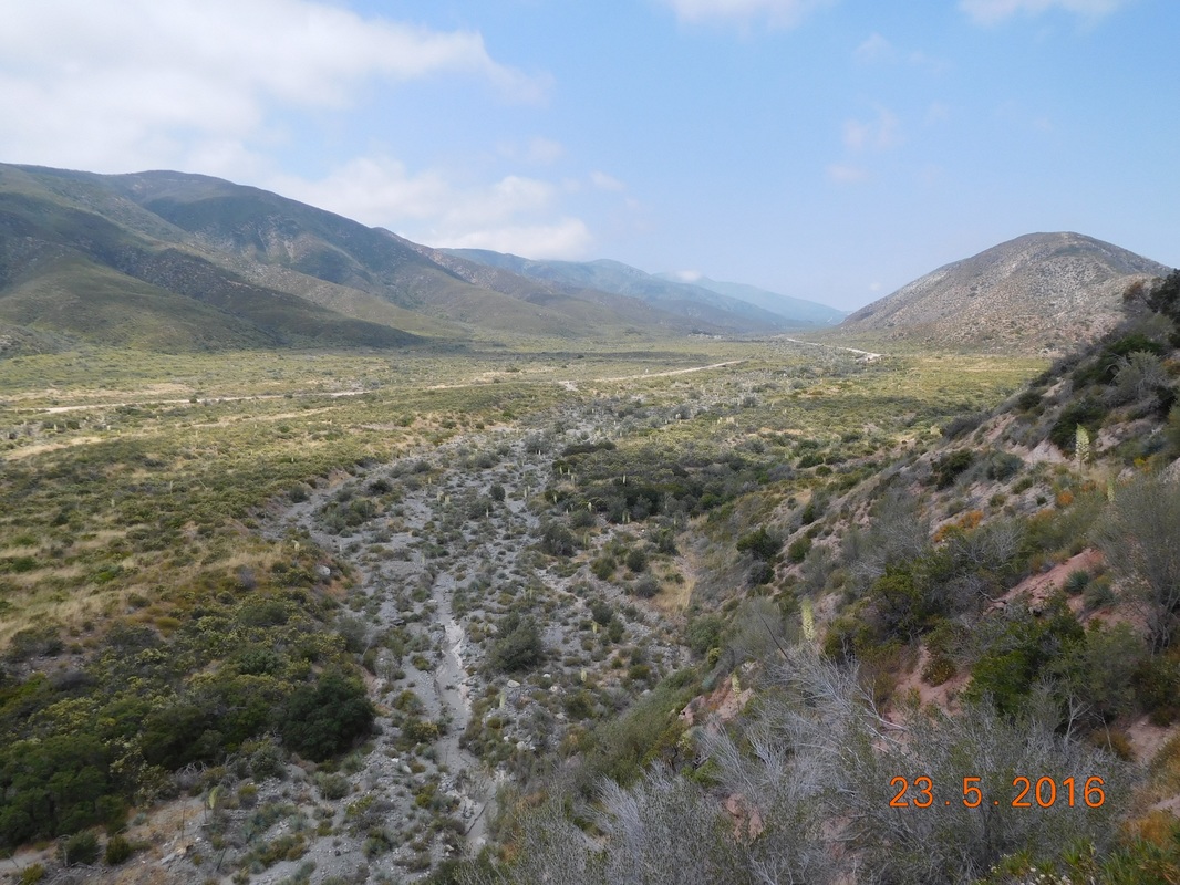
Peaceful, beautiful scenery.
I made it to the unpaved Swathout Canyon Road, mile 5.38, just after noon. I knew that I needed a break, so I took off my shoes and socks and leaned against my bag to chill. There was another guy there that started talking to me and one thing led to another and I was telling him my rattlesnake story,
As the story was ending, a group of 3 hikers were walking by and the girl asked if I was Geraldine. She recognized me from the rattlesnake post I made on Facebook. I guess I'm a celebrity! She told me that as she hikes she thinks about me and she looks for rattlesnakes. I then told here them the abbreviated story. They all took off and I started eating lunch when a young guy, Alex, stopped by and asked if I was Mighty Mouse, the hiker that was bit by a rattlesnake. He said that he read my story and actually looked up information about rattlesnakes in case he came across one.
I ate lunch and relaxed there for over an hour and knew it was time to go. The next part of the trail starts climbing with a 2,000 foot gain in 4 miles.
But first I have to cross Swathout Canyon Road into new PCT territory for me.

Self-portrait "Entering a new experiance"
By the way, this road runs right along the San Andreas Fault! Just after crossing the road I had a wonderful view of the new trail accompanied by a PCT sign.
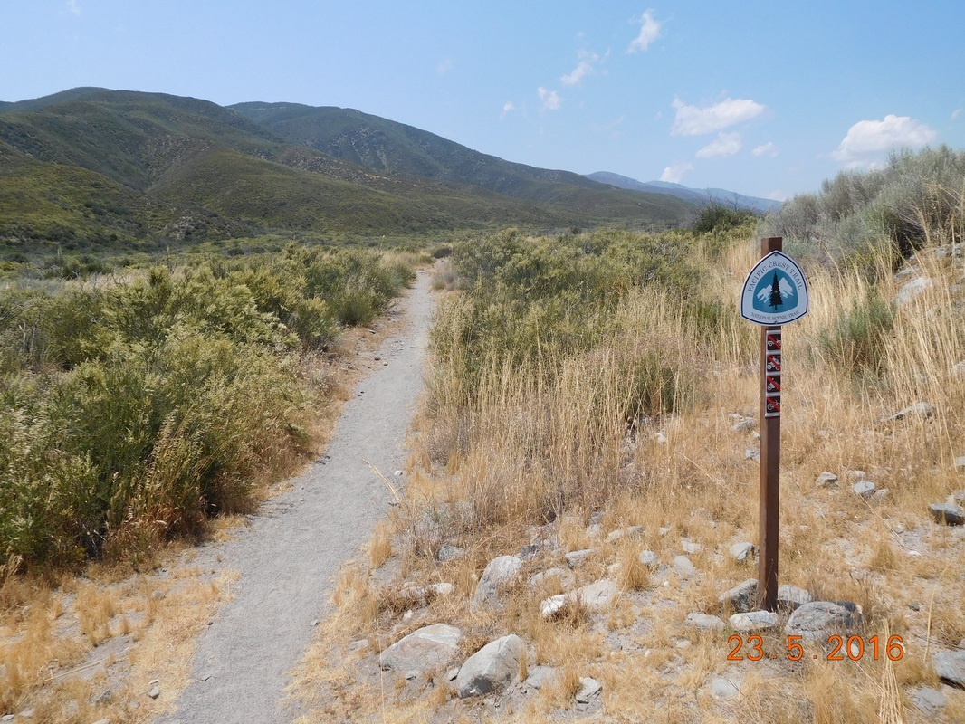
PCT sign of the day
The next 6.64 miles was difficult. I climbed almost 2,500 feet and was getting pretty tired towards the end. I have only 1 picture I took during this climb:
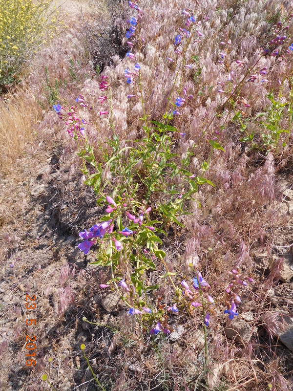
Stopped to smell the flowers.
I mad it to camp around 4:30 PM after hiking 12 miles. I am pretty satisfied with being able to hike 12 miles considering the weight of my pack and the climbing I did.
After setting up camp, a guy from Australia joined me. He wasn't very talkative since he was beat after hiking 18 miles today, 25 miles the day before, and 20 miles the day before that.
A little later, MAGA rolled in for the night. I actually saw him earlier in the day when he passed Tim and I in the first mile of the day. I guess he stopped for a break earlier and fell asleep. That's how I got ahead of him. Anyway, MAGA is from Eugene, Oregon. He has a degree in accounting, but has spent 3 years teaching English in China. His plan after the PCT is to get a seasonal accounting job so he can hike as much as he can. He also wants to move out of Eugene to Wyoming or Utah where there are more conservatives. Oh...MAGA, his trail name, stands for "Make America Great Again."
MAGA
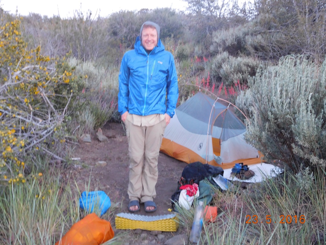
Here is my wonderful home for the night. I am at 5,554 feet, so it should be a chilly night. While off the trail I bought warmer pants to sleep in. Tonight will be their first test.
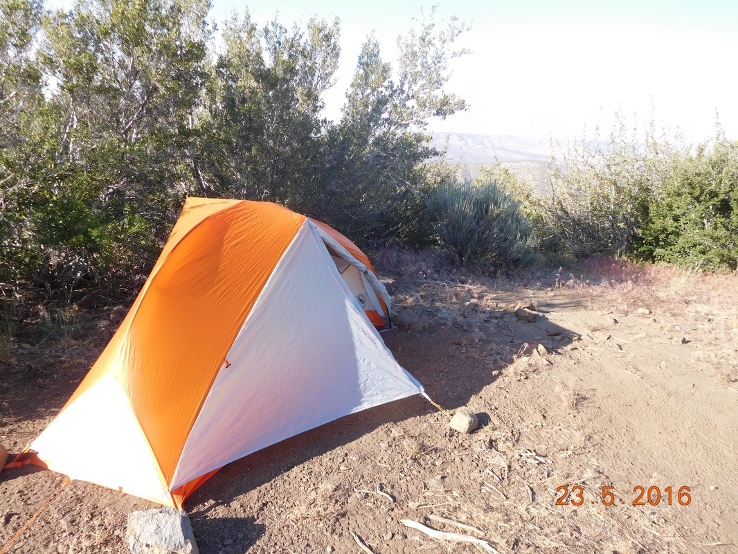
Home for the night.
 RSS Feed
