- Home
-
Worldwide Travel
-
United States Travel
-
Brewery Visits
- 2024 Breweries
- 2023 Breweries
- 2022 Breweries
- 2021 Breweries
- 2020 Breweries
- 2019 Breweries
- 2018 Breweries
- 2017 Breweries
- 2016 Breweries
- 2015 Breweries
- 2014 Breweries
- 2013 Breweries
- 2012 Breweries
- 2011 Breweries
- 2010 Breweries
- 2009 Breweries
- 2008 Breweries
- 2007 Breweries
- 2006 Breweries
- 2005 Breweries
- 2004 Breweries
- 2003 Breweries
- 2002 Breweries
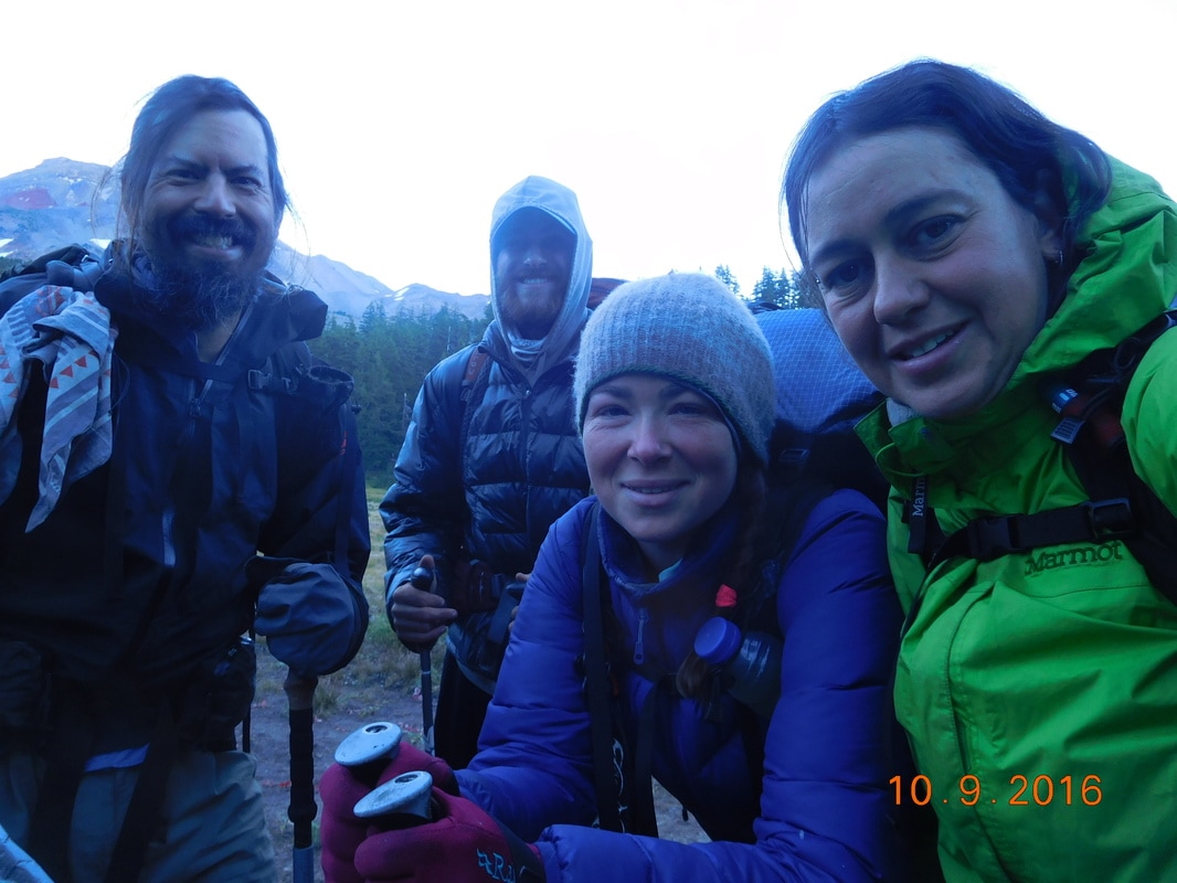
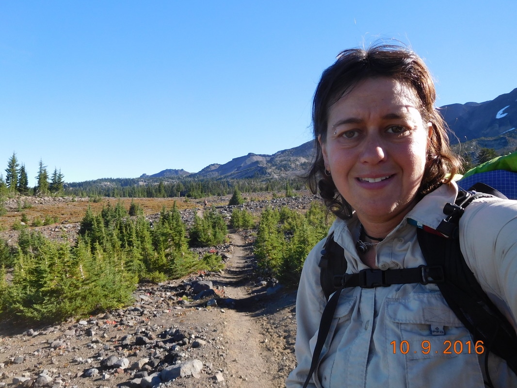
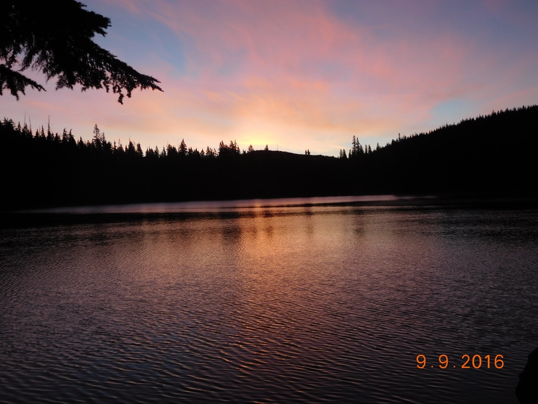
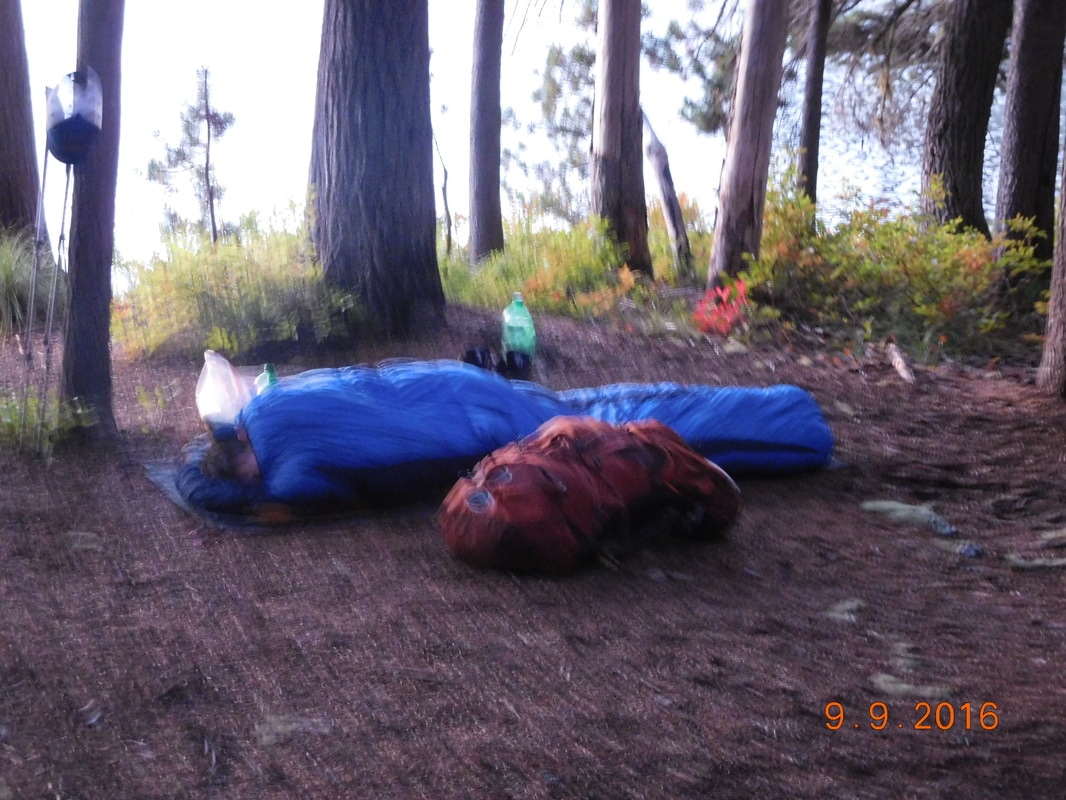
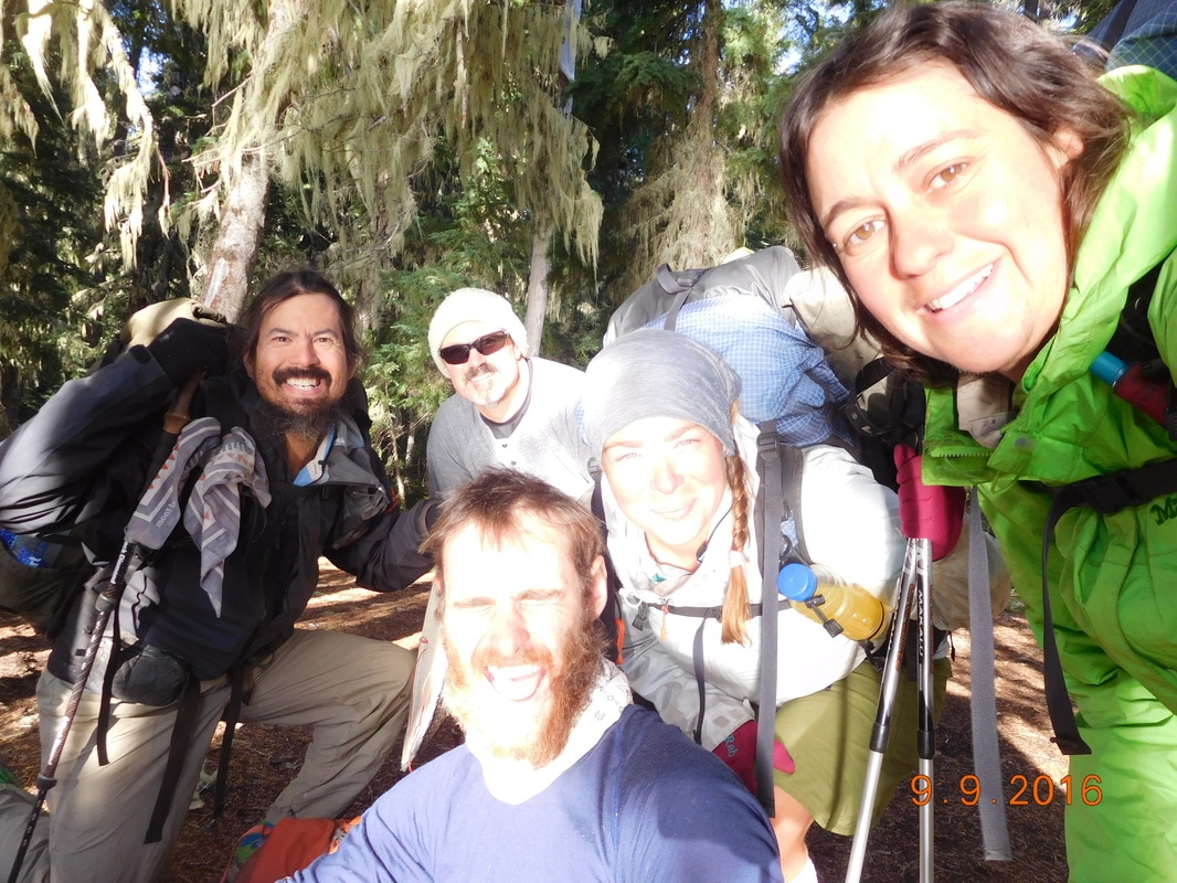
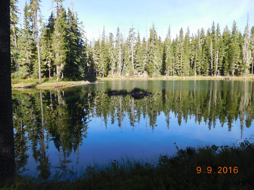
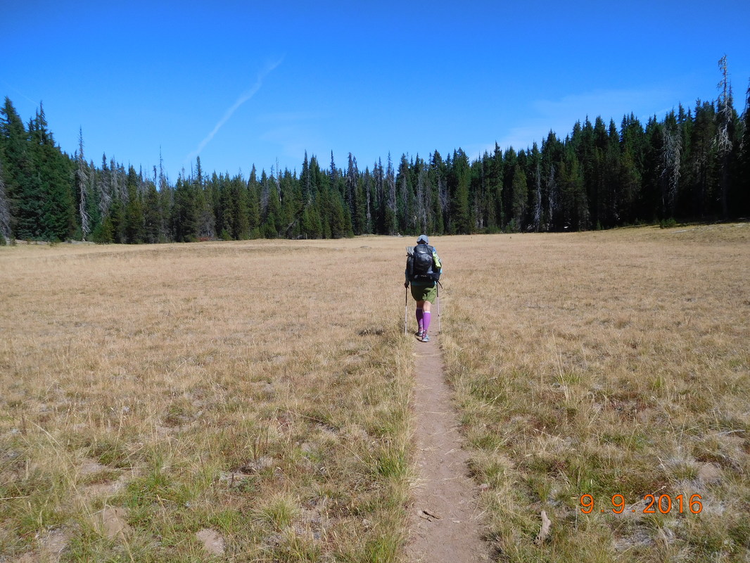
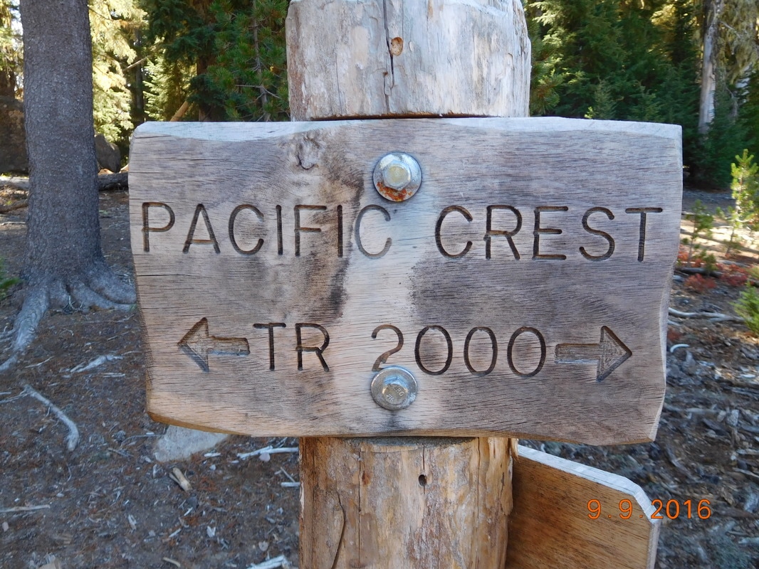
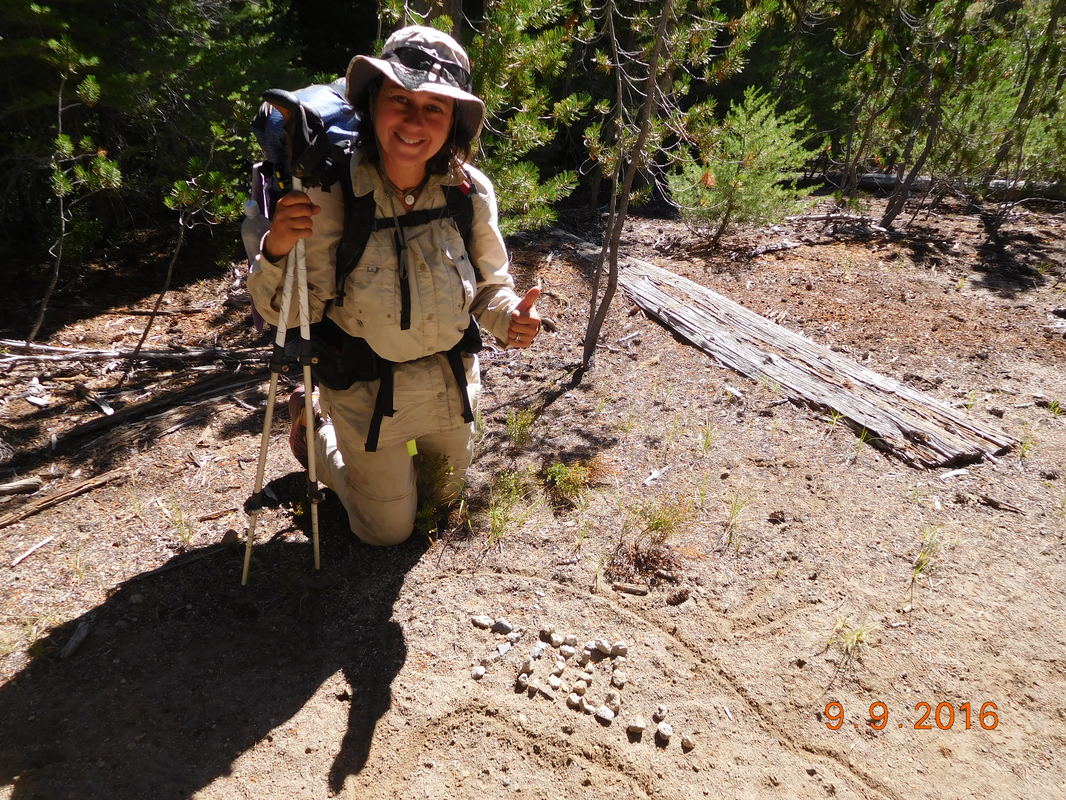
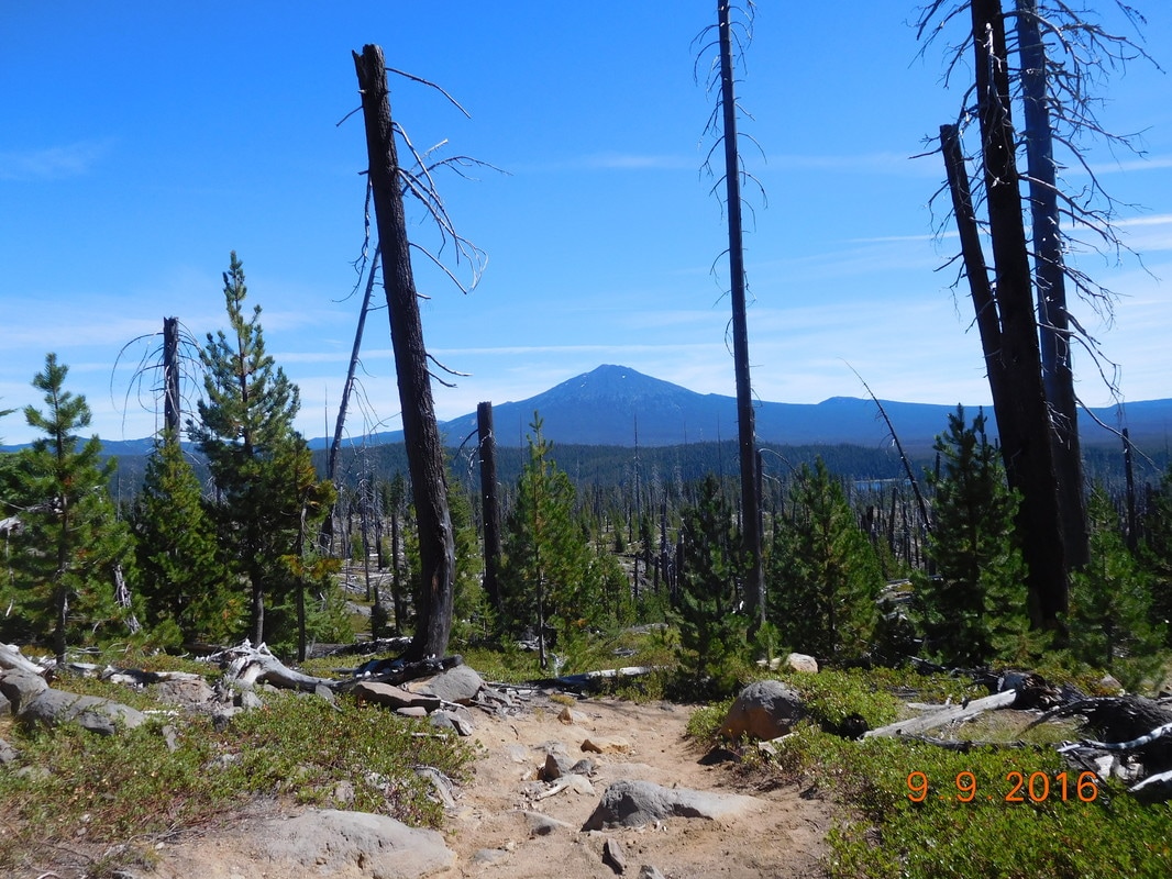
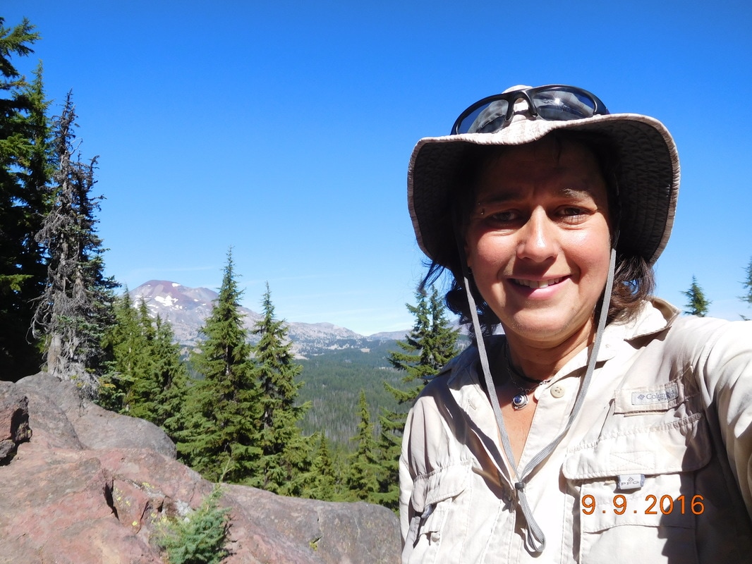
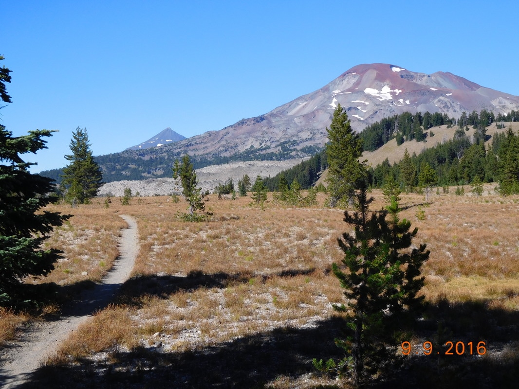
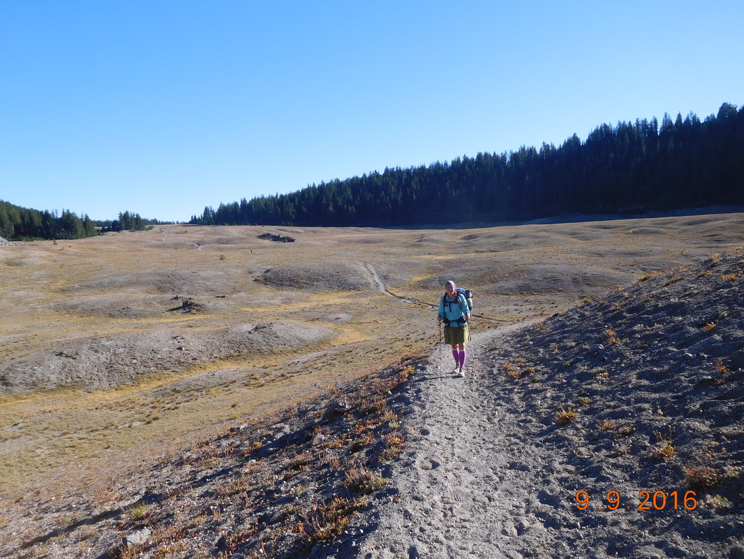
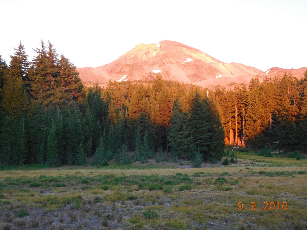
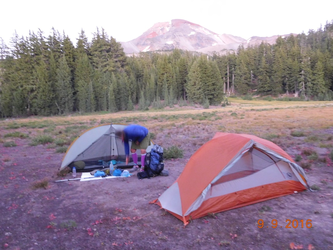
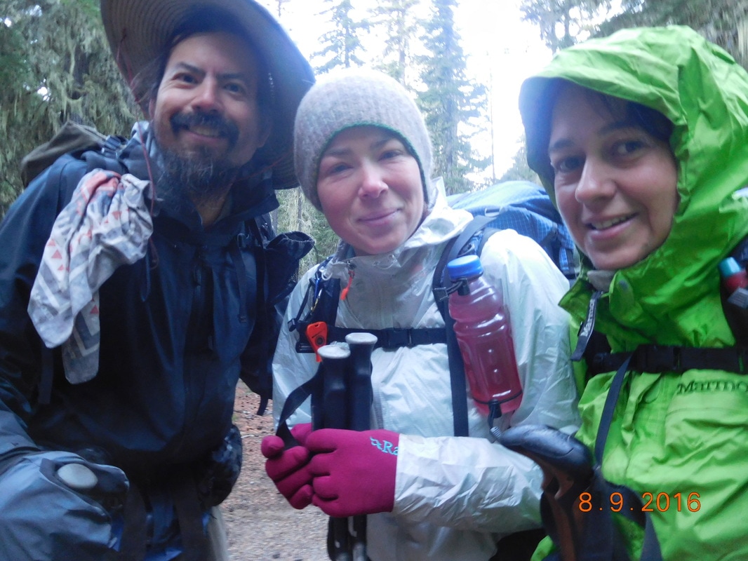
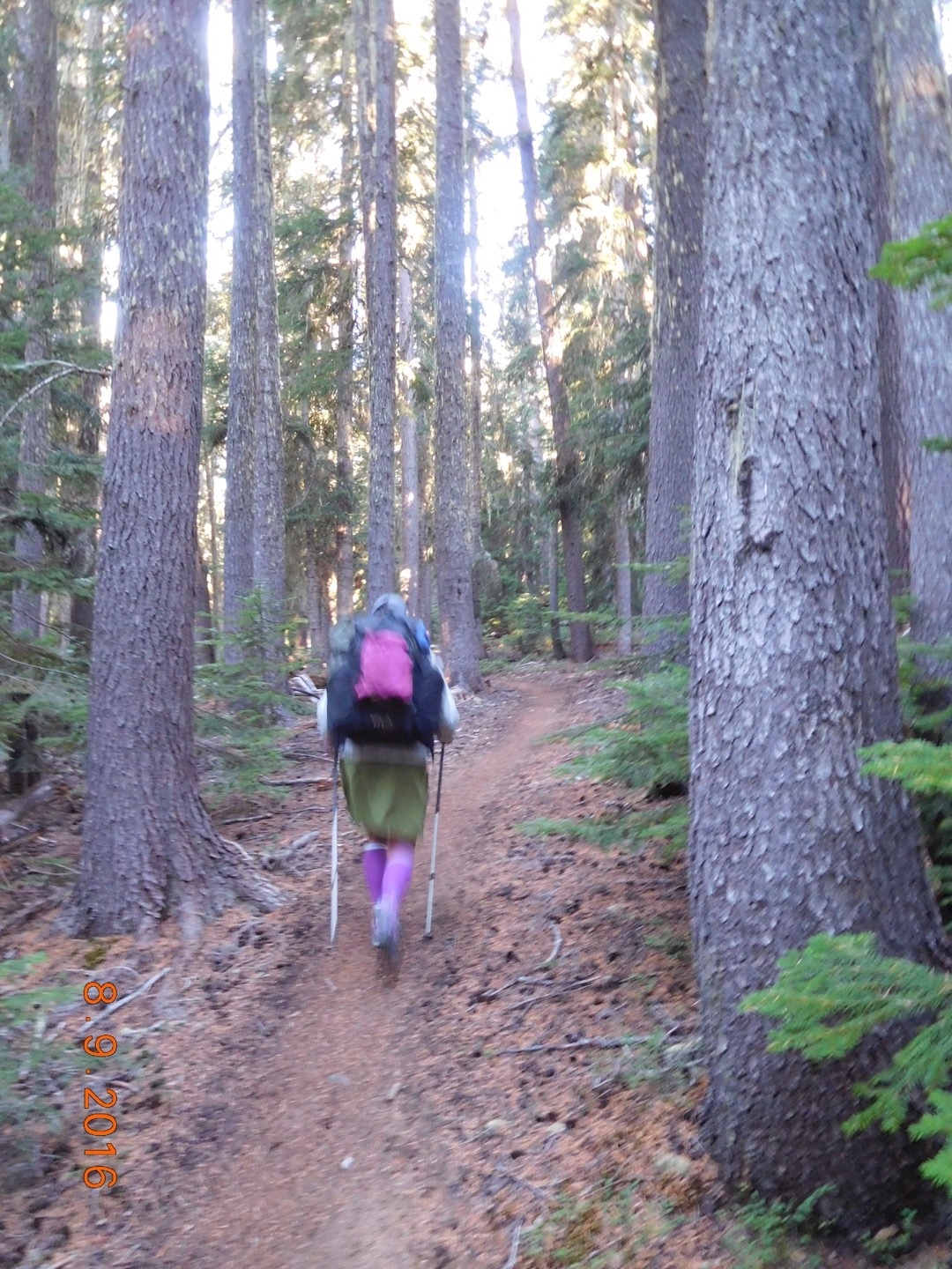
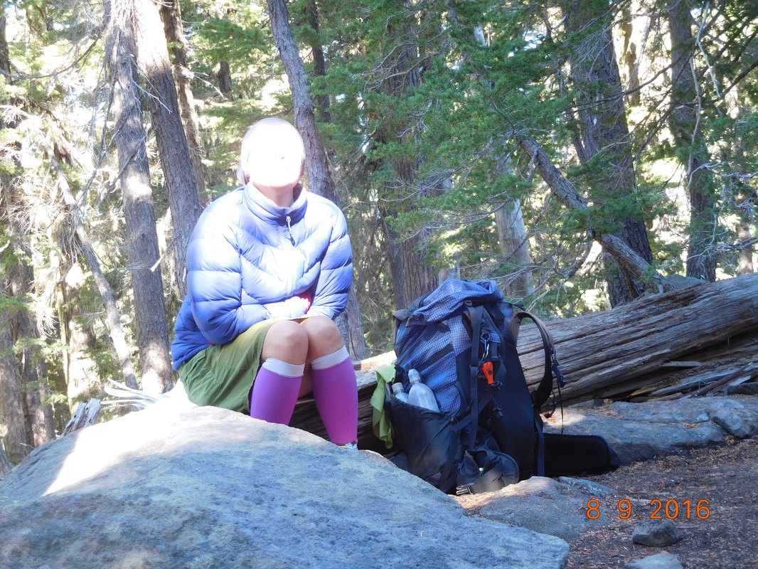
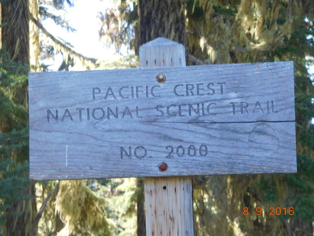
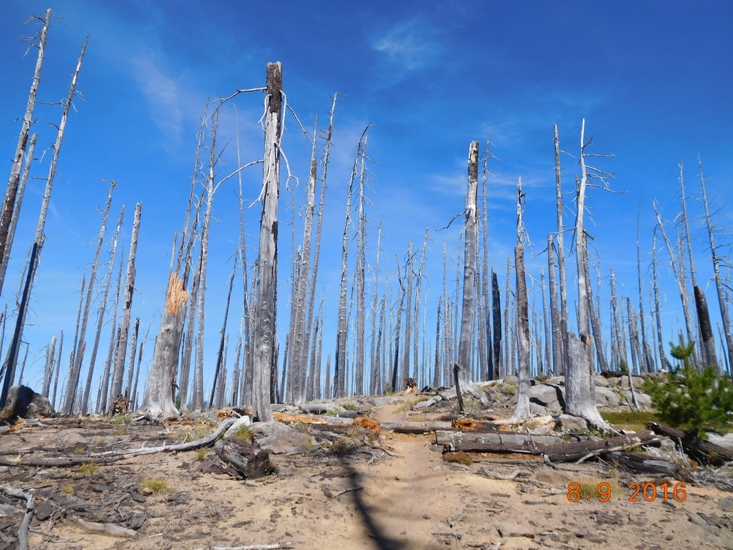
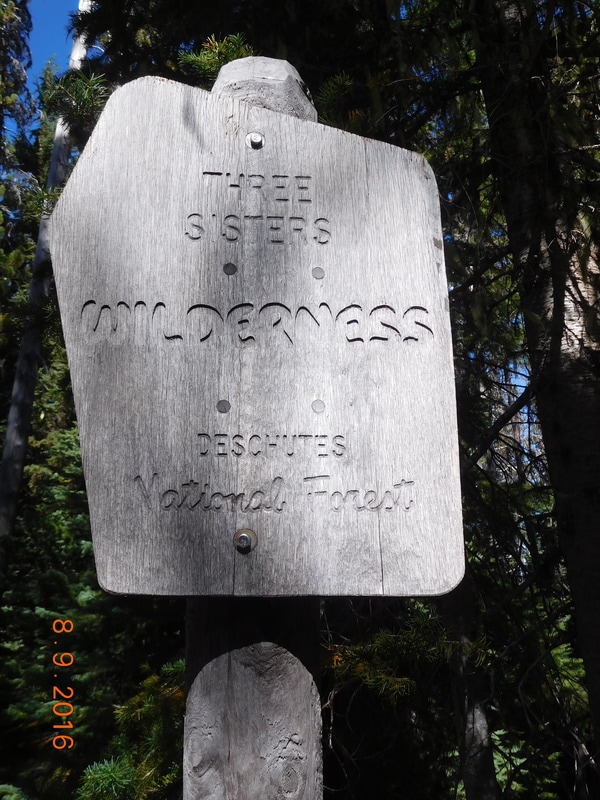
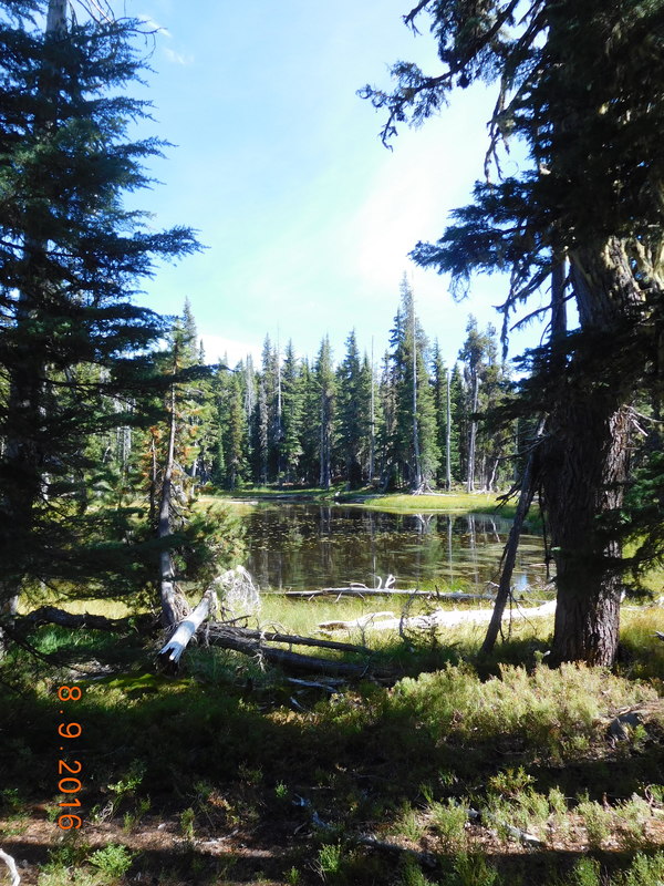
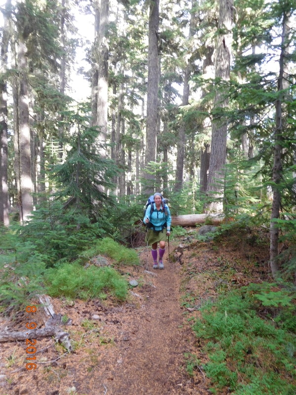
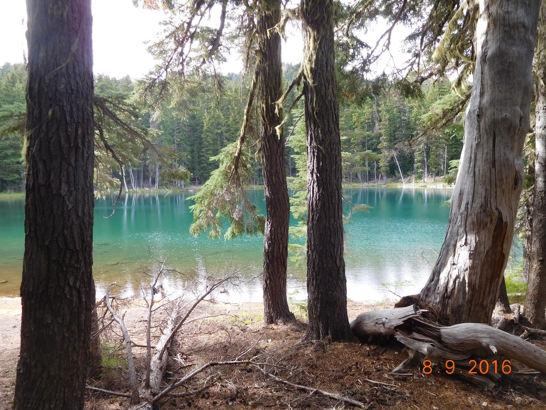
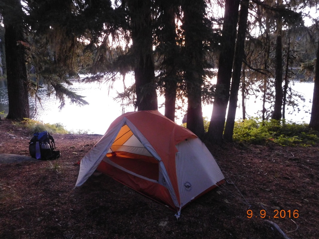
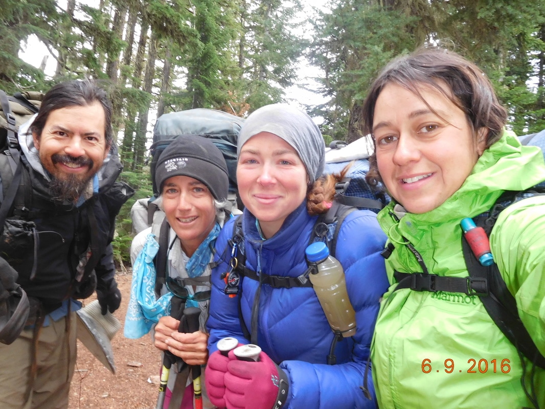
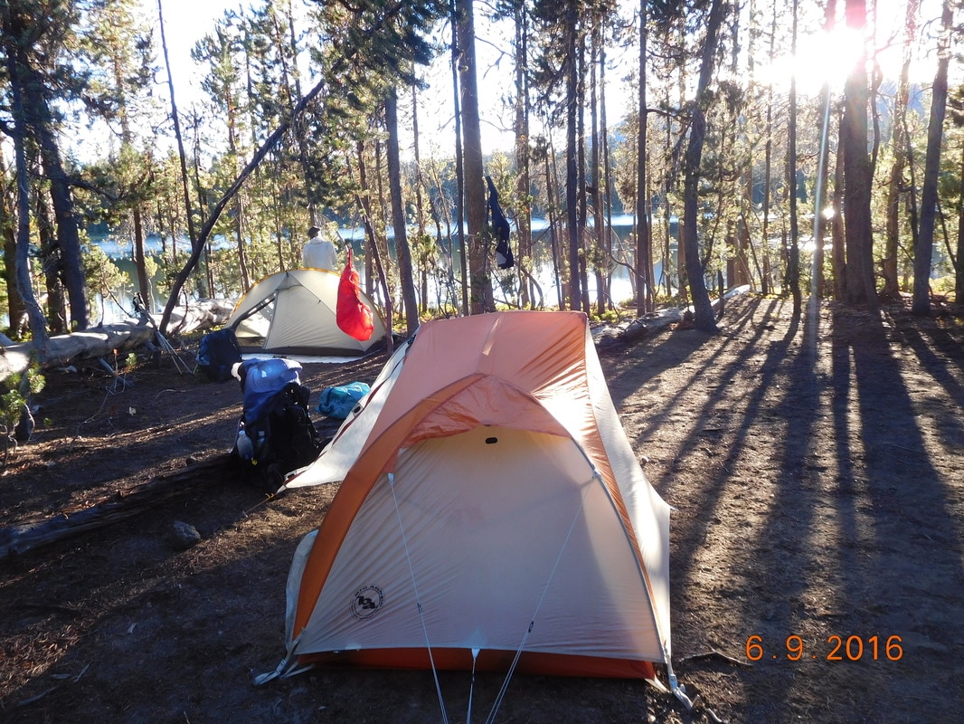
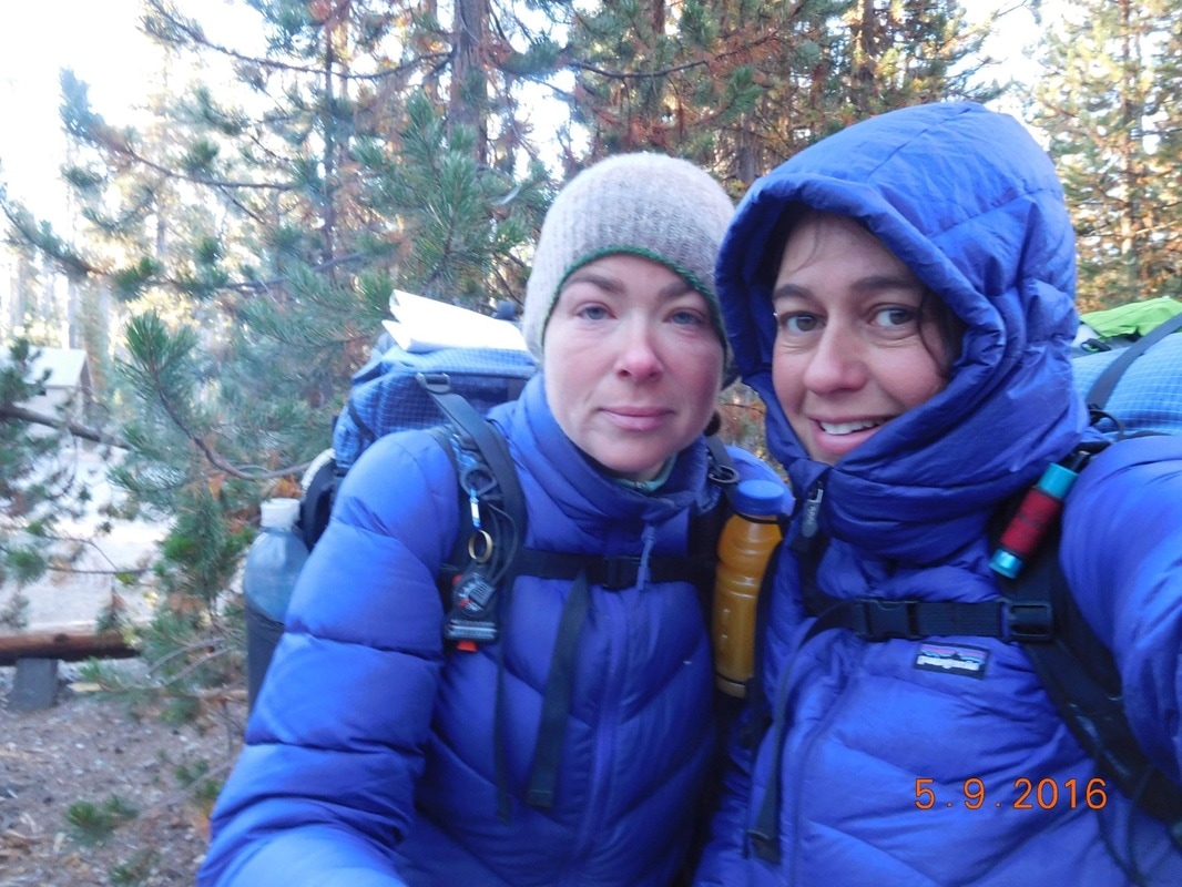
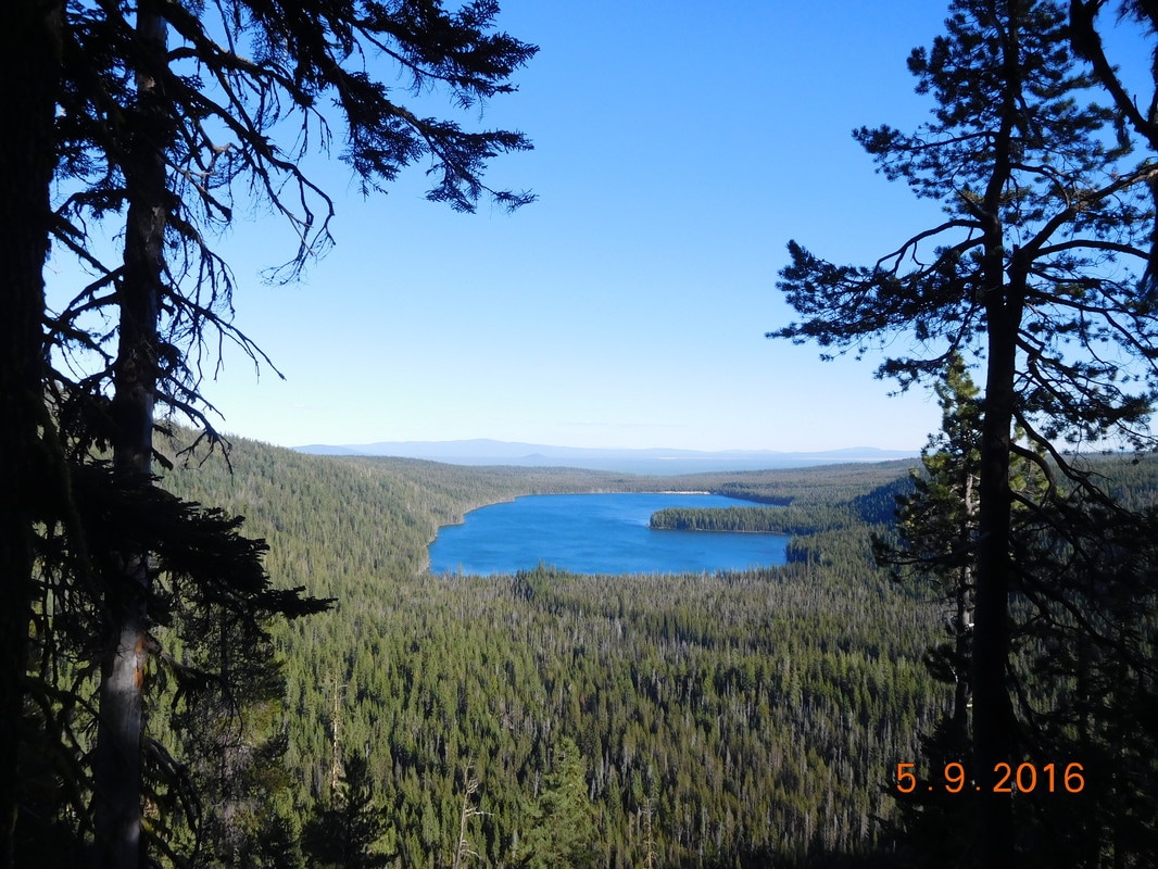
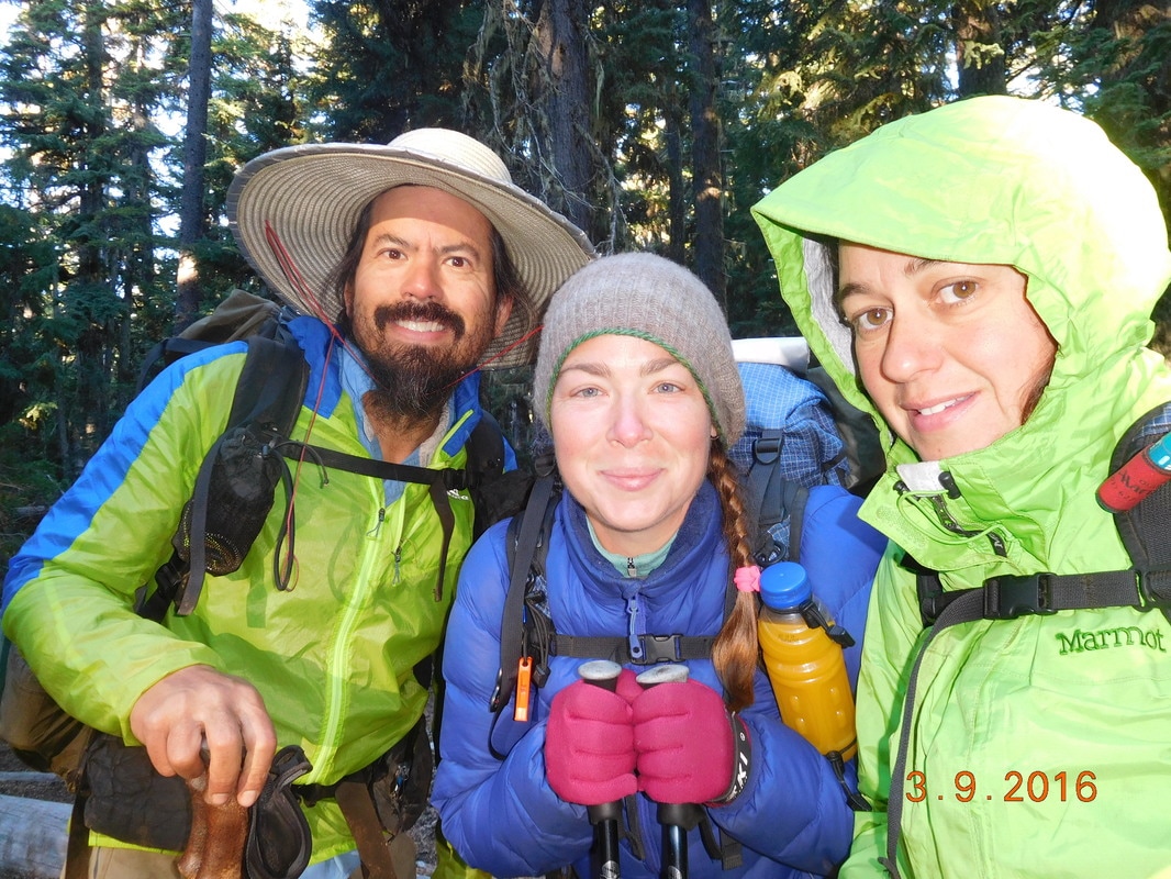
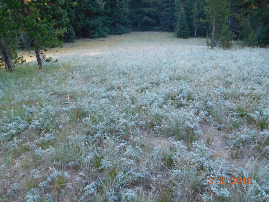
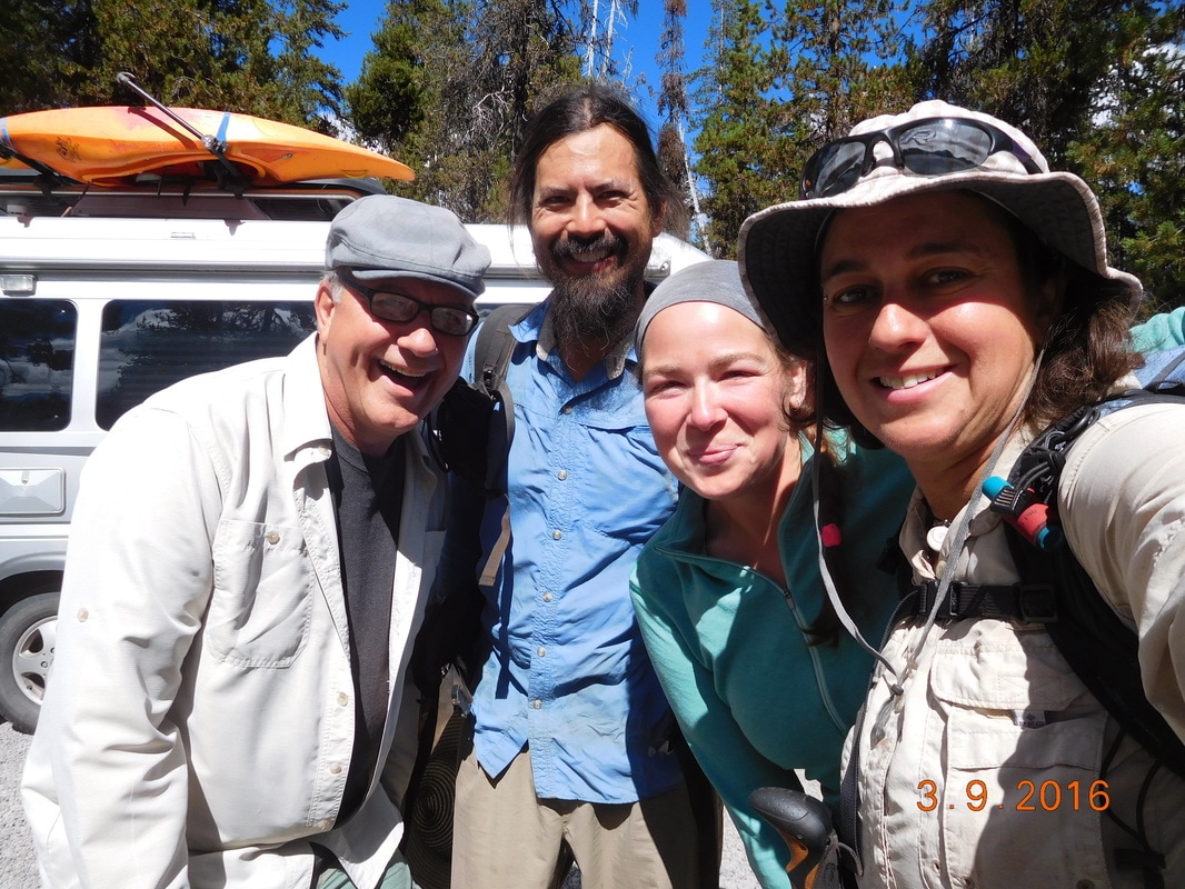
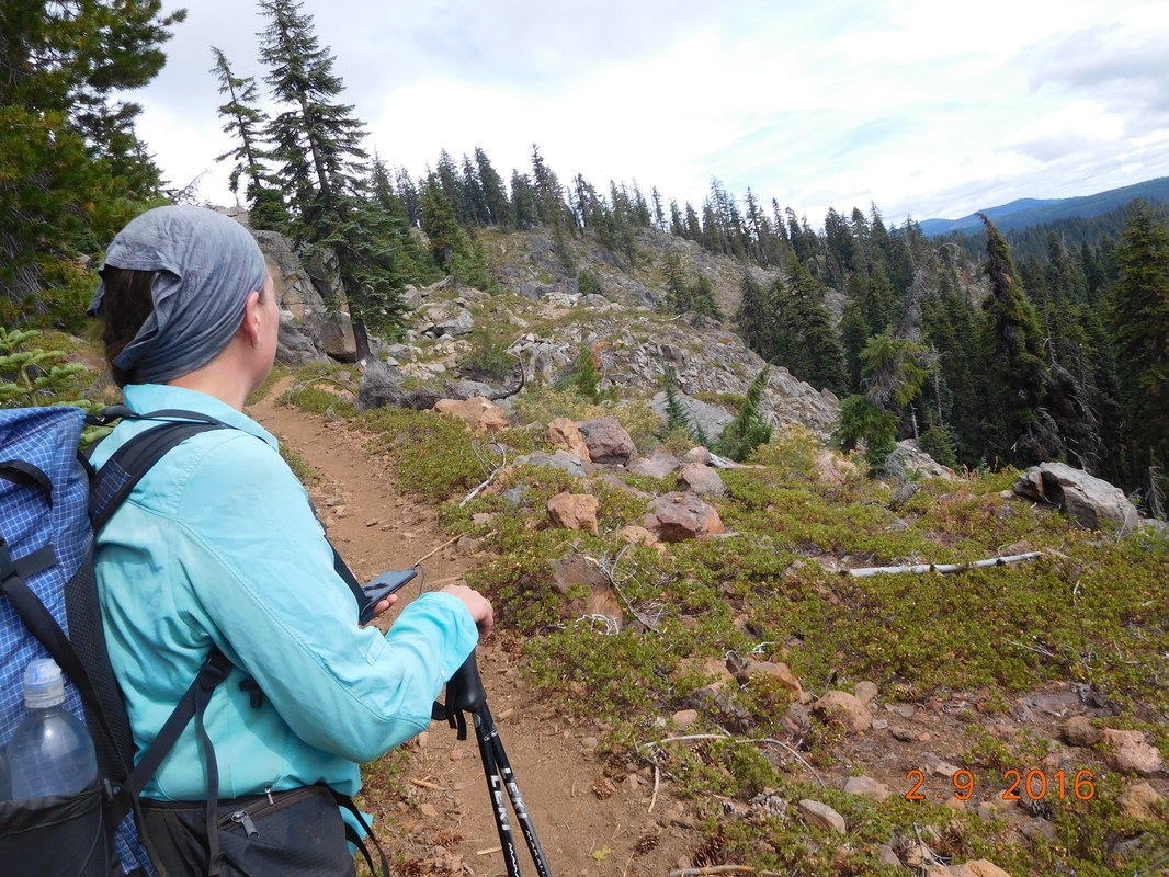
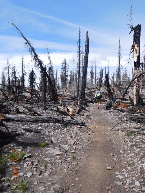
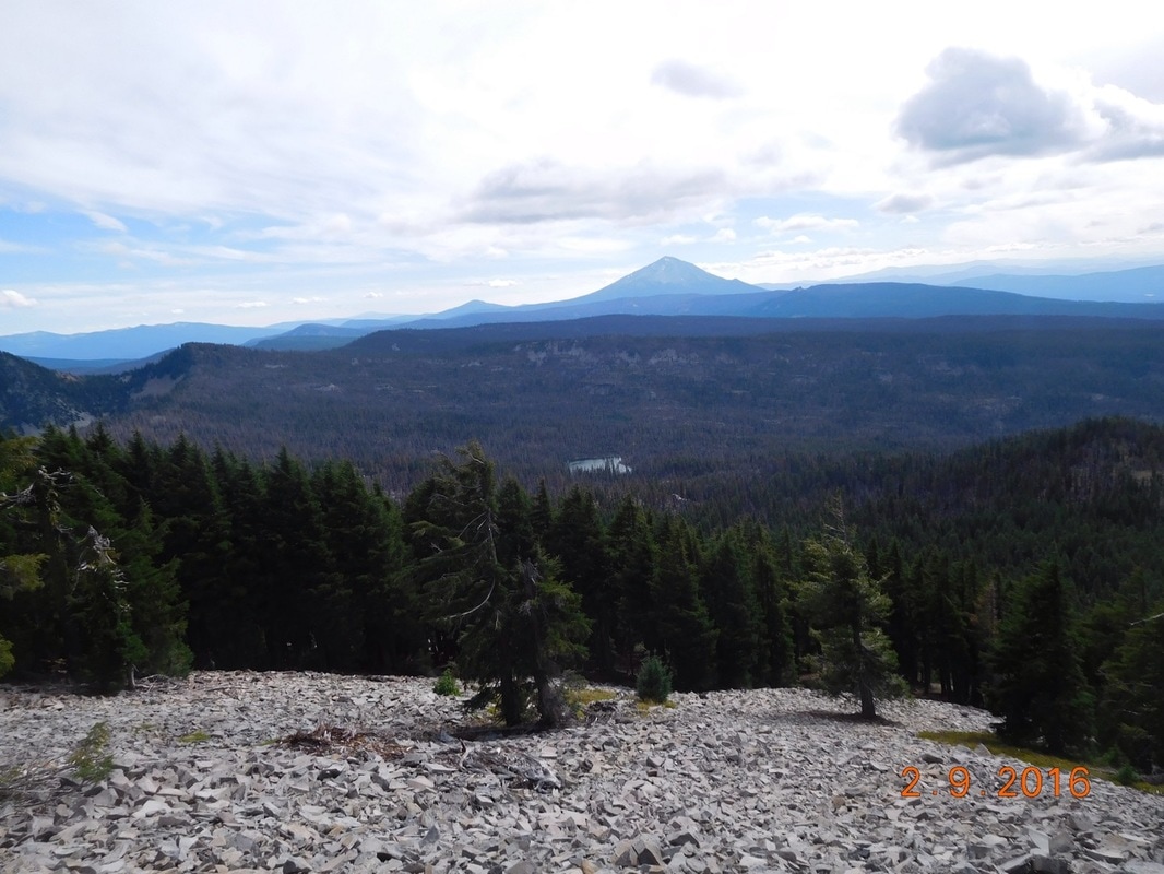
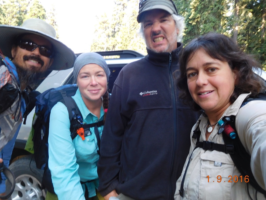
Campsite on Mac Lake to Meadow at Mile 1963.02 I woke to Brad's alarm at 6:00 AM and it was chilly. It is really hard to get out of the sleeping bag and get dressed when it is a cold morning, but this is obviously something we have to get used to. I got out of the tent and was surprised that our tents weren't more wet than they were since camping by a lake is usually pretty humid. Speaking of the lake, check out my morning view: I also had a view of Free Lunch cowboy camping. I don't know how people do this, especially when it is as cold as it is: We had to collect and filter water this morning before hiking, so we weren't ready to hike until almost 8:00 AM. Free Lunch did wake up, but he was still in his sleeping bag. Scott also joined us for the morning photo: Like yesterday, we hiked past plenty of lakes. What a beautiful day on the PCT: The trail signs in the area were really nice. We passed the 700 miles to go point today. We are getting there! Another burn area allows us to get a view of Mount Bachelor.
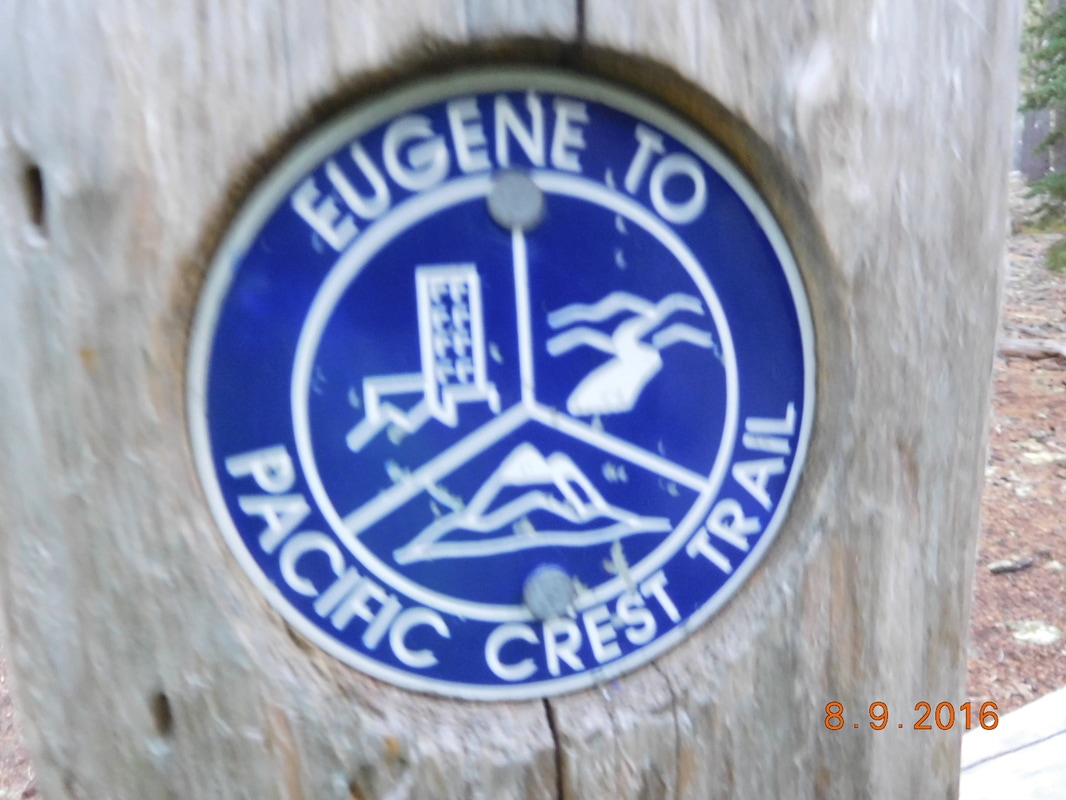
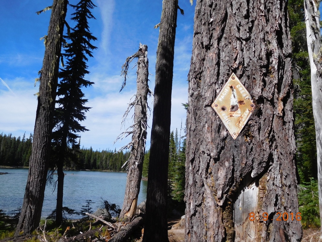
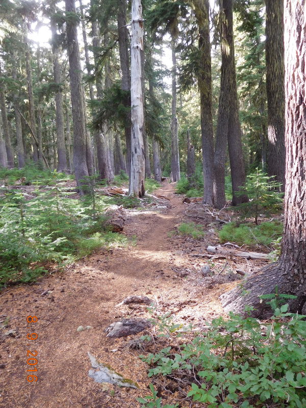
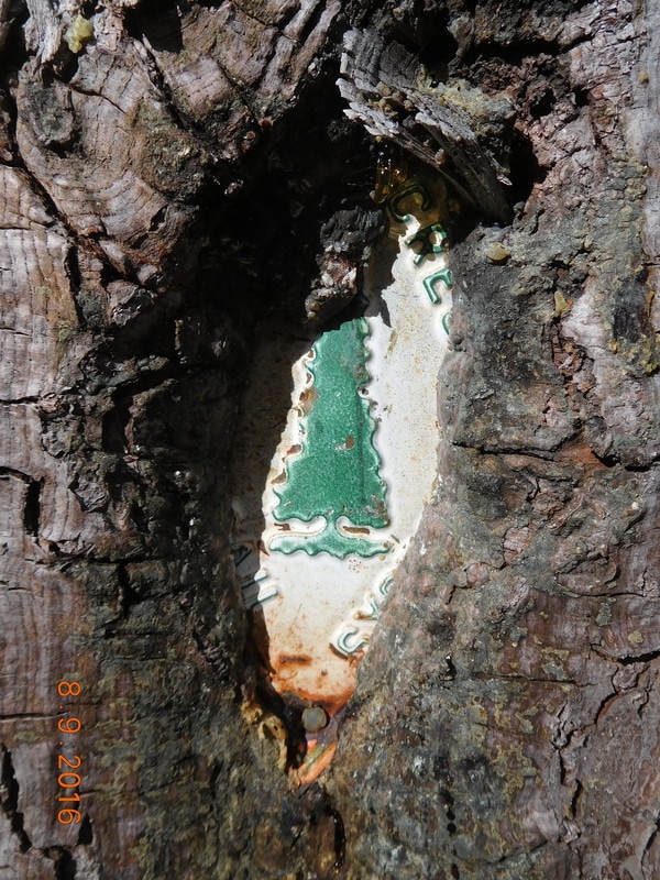
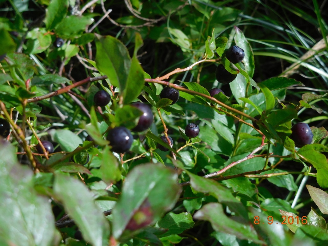
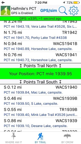
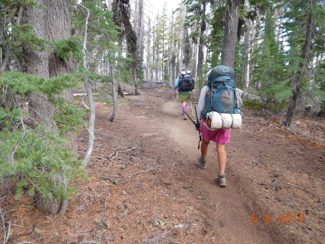
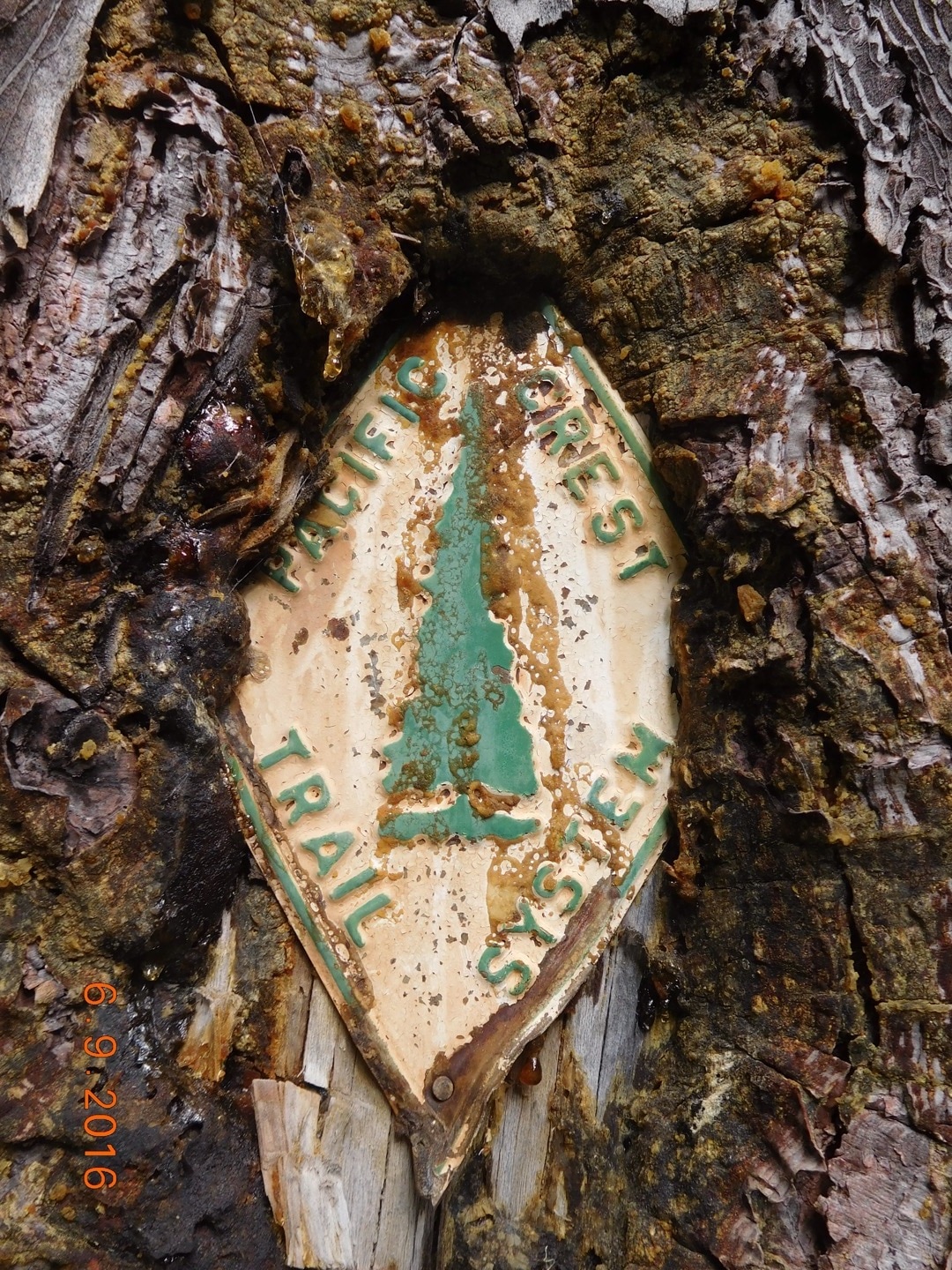
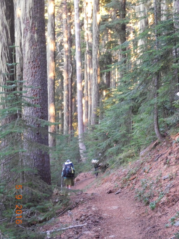
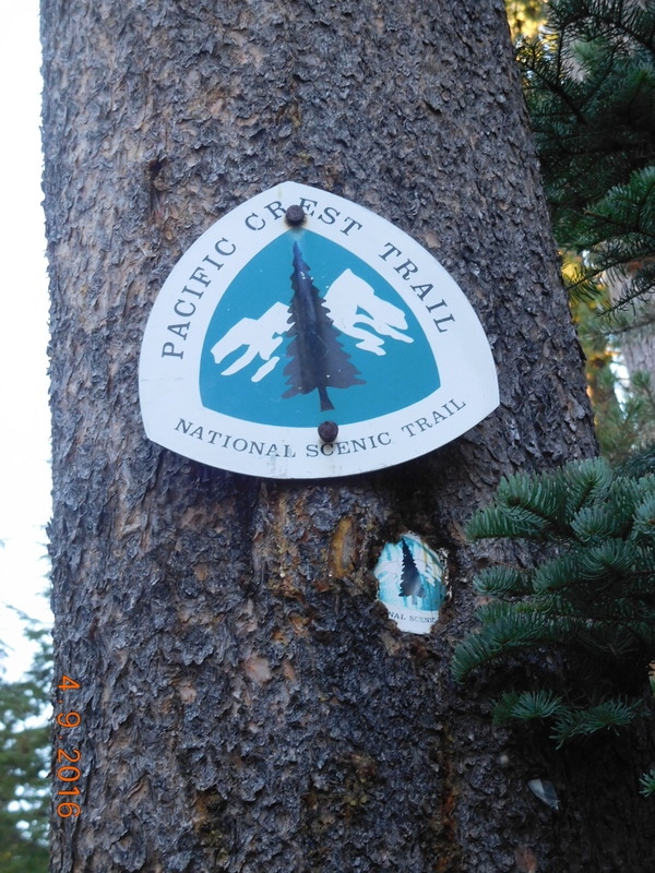
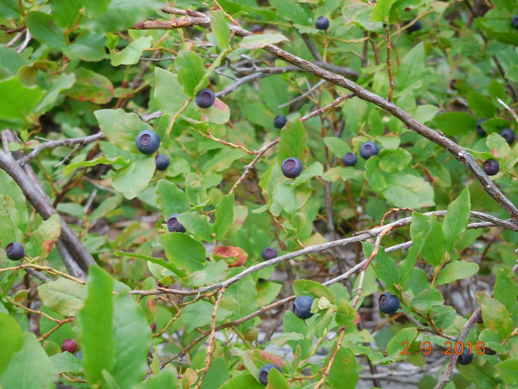
Campsite at mile 1913.73 to Campsite on Mac Lake Yet another cold night, but not as cold as the past two and I slept really well. I woke with Brad's alarm at 6:00 AM and started getting ready soon after. Today we plan on record miles, so we have to get on the trail at a decent time. We were all ready to hike just before 7:30 AM. Within a mile of hiking we came upon the Eugene to Pacific Crest Trail junction. The sign had a really cool medallion on it: Most of today's hike had us walking under cover in a pine forest. Just as you would expect in Oregon. We were pretty chilly starting out. Luckily we had a bit of a climb to start out with, so we were able to warm up. After 5 miles or so we stopped for a break and quickly started cooling off. Share Bear managed to find a place with a bit of sun coming through, so she did as she had learned from the marmots: Here is a cool PCT sign we saw today: I think this was the first burn area we have come across in Oregon. We have been looking forward to getting to the Three Sisters area. We heard it was beautiful. We must have passed at least 10 lakes today. All the trees around them make you know you are in Oregon. I LOVE the old PCT signs. Here is one we came across that happens to have a great view of a lake. This is what most of today's hike was like. Trees, trees, and more trees. Check out the awesome color of Stormy Lake: Another old PCT sign: We hiked really strong all day because we had a goal of hiking 26.2 miles today. We were doing awesome keeping on schedule until we came across a bunch of wild blueberry bushes. We must have spent al least 30 minutes filling our bellies with this delicious berries. When we got to our planned campsite we had hiked 26.10 miles, 0.1 miles short of a marathon. So, Share Bear and I hiked an extra 0.1 miles to reach our goal. 1939.95 minus 1913.71 equals 26.24 miles! After a small celebration we hiked back to Mac Lake and setup camp. Scott from Bend, Oregon was already there and had a small campfire going. He was fine that we crashed his party and I was so happy to have a fire to sit by while I cooked and ate dinner. Oh, Free Lunch showed up and stayed the night here as well.
Tomorrow looks like it will be a bit harder hike than today, but not too bad. So, until then... Diamond View Lake to Campsite at mile 1913.73 We all agreed to wake up with the 6:00 AM alarm and not push the snooze button, so I did and hoped the others were as well. It didn't feel as cold as it has the past few mornings, but the tent rain flap was soaked and all my stuff felt somewhat damp. Camping by a lake is beautiful, but it is usually colder and definitely moister. Luckily in 5 miles we will be at the Shelter Cove Resort where we should be able to dry out our gear. The goal was for everyone to be ready to hike at 7:15 AM...we were all ready to hike at 7:29 AM. Not too bad, at least it's before 7:30 AM. Today we have 5 miles to hike into Shelter Cove Resort where we plan on doing laundry, showering, and eating junk food. We will also be meeting Tim here for our resupply to get us into Sisters, Oregon in 3 days. The hike started out a bit cold, but check out the trees and moss. Oregon definitely has no shortage of trees. There was about a 1 mile section with deadfall blocking the trail, so the going was slower. It warmed up some, but the fog didn't burn off for a while: We finally made it to Shelter Cove Resort at 9:20 AM. This resort is extremely hiker friendly. They have a hiker area with picnic tables, a tent, and a hiker box. The store sold frozen pizzas for $10 that they cook for you, so I had to order a cheese pie. Tim arrived just after 10:00 AM. I grabbed a set of sweats from my suitcase and put it on so we can launder all our clothes. While the laundry was going we were able to grab a 6 minute shower ($1.50 per 3 minutes). There were many other hikers that showed up throughout the time we were there, so it was fun hanging out and talking to them all. Maybe too much fun since we didn't get out of there until almost 3:00 PM. That is 5.5 hours of hanging out at Shelter Cove Resort when we hoped to get out of there around noon. Just because we got out of there late doesn't mean we won't put in the planned miles. We have 2.2 miles to hike to get back to the PCT and then we have another 11 miles after that. We hiked the 2.2 miles and finally got back on the PCT after about 25 miles. Just over 4 miles after getting back on the PCT we came across Lower Rosary Lake. How beautiful! Almost 8 miles in there was a sign indicating a ski shelter. We heard this shelter was incredible and really wanted to stop there for the night, but we need to hike another 4 miles so we put our heads down and continued hiking. We planned on making it to Bobby Lake, but after camping at a lake last night and woke up with our tent soaking wet, we wanted to avoid staying by a lake. At 7:00 PM we started looking for a campsite and eventually found a site one mile short of Bobby Lake, so we stopped.
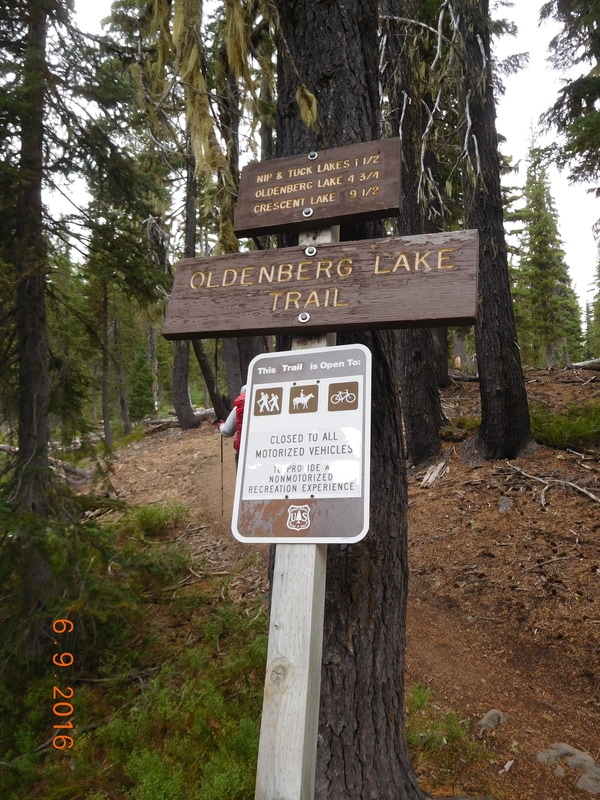
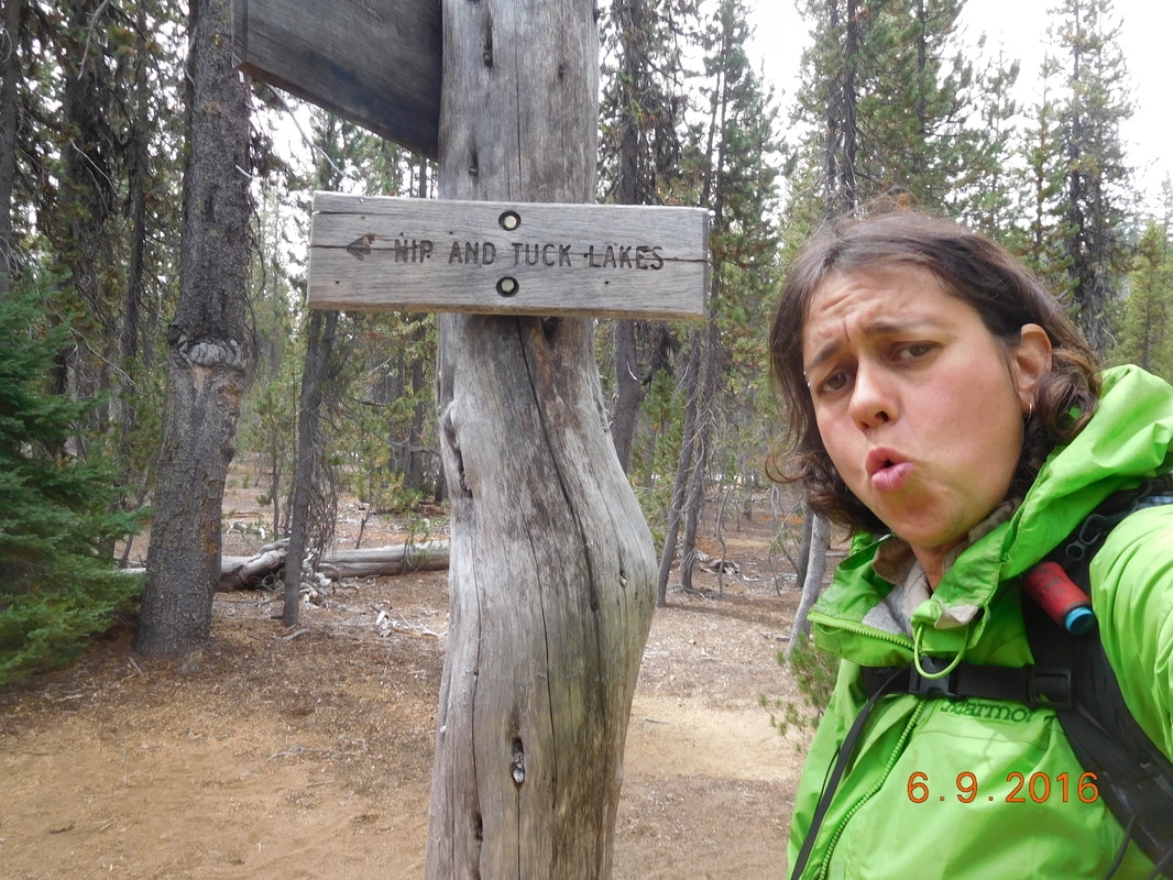
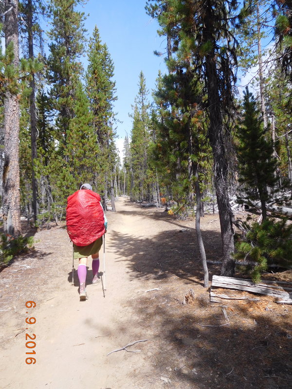
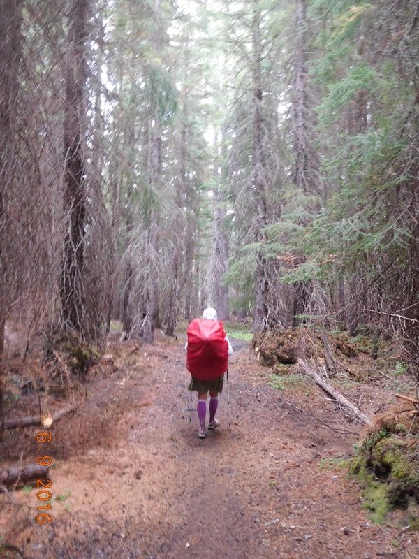
Oh, you might have noticed by the miles in the title that we passed PCT mile 1,900. The problem was that we were on the alternate trail that bypassed the PCT when it hit 1,900. Oh well...mile 2,000 will be here before we know it. Campsite by Six Horse Spring Trail to Diamond View Lake I woke at 5:57 AM, just before the 6:00 AM alarms started going off. It was warmer this morning than yesterday morning, but it was still cold, around 45 degrees, making it hard to get out of the sleeping bag. I finally did and got all my stuff together. For some reason we weren't ready to hike until 7:45 AM. Why is it that we wake at 6:00 AM and can't get on trail for almost 1 hours?!? We have to improve on this. We started hiking with the intention on making it to Shelter Cove Resort 26 miles away...that's right...we were attempting a marathon hiking day. Under two hours into the hike Share Bear said to check out the PCT sign on the tree. WOW...that's an original PCT marker dating back XXXX years! I've heard that there were a few of these signs left of the trail and we finally came across one. This is definitely the PCT sign of the day! Today the PCT intercepts the Oregon Skyline Trail (OST) which is an alternate trail to our next stop, Shelter Cove Resort. The OST leads directly to the resort plus it has more water plus it is 1,000 feet lower meaning a bit warmer, plus it save 7.8 miles. With all these pluses we decided to take it. The first lake trail junction we came to was for Nip and Tuck Lakes. Quite interesting names for lakes. Oh yeah, I forgot to mention that when we stopped for our 5 mile, shoes off break, it started to drizzle on us a bit. We finished up the break and out our rain covers on our bags. Here is Share Bear with her bright red pack cover: We stopped for lunch around 1:15 PM. Indra had cell service so she called the resort to see if they had a cabin we could all share. They didn't, but we could camp for $10 each. At the rate we were going, we would be getting there around 7:30 PM after the store closes. Why would we pay $10 to camp when we could stop short, camp for free, then get there early in the morning? We saw on the map a campsite at the 21.8 mile point. Well...there goes our marathon hiking day. We hiked on and stopped to collect and filter water and then it really started raining. As we approached a road we saw Tim! What the heck?!? He thought he would come and let us slack pack the last 11 miles to the resort. Oops. We aren't making it to the resort. Oh well, it was nice seeing him today. He will meet us again tomorrow morning at the resort to help us resupply.
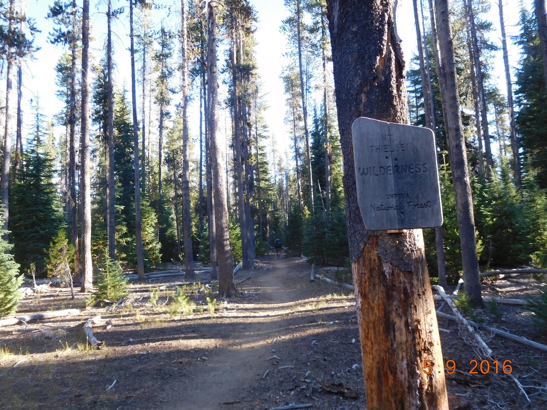
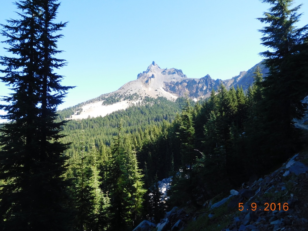
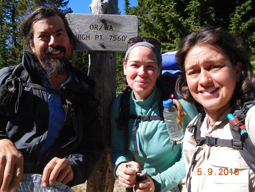
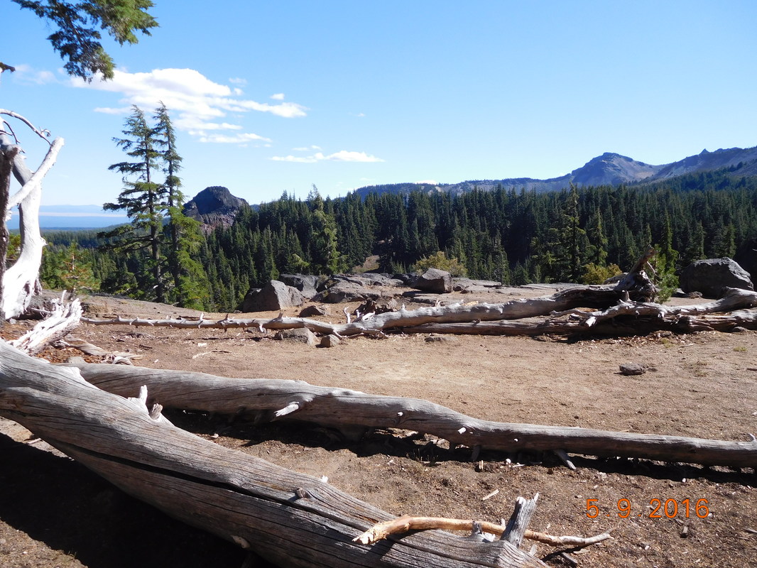
Five and a half miles later we made it to our campsite for the night on Diamond View Lake. Just before arriving the sky cleared which is awesome since we worried about setting up camp in the rain. Now we don't have to worry about that. Tomorrow we have 5 miles to Shelter Cove Resort where we will shower, do laundry, and meet Tim for our resupply. Until then... North Crater Trailhead to Campsite by Six Horse Spring Trail Another cold night but I slept very well. I heard alarms go off at 6:00 but didn't hear anybody moving. I gave it 10 minutes and then started getting ready. Some mornings it takes one of us to start making noises for the others to decide to get moving. The good news this morning is that there is a pit toilet here, so no digging a cat hole this morning. The bad news is that it is freezing outside. We all moved slowly thanks to the cold. We had to sort out food for the today and the next 2 days to get us to Shelter Cove Resort where Tim will be meeting us next. It was so cold that when I put some water in my cup it started freezing within a few minutes. Also, as Share Bear tried to fill her water bottles, the water started freezing in the neck of the bottle. It was so cold our fingers and toes hurt. We needed to get moving to get warm, so Share Bear, Indra, and I quickly got our bags on and were ready to hike at 7:48 AM. It was so cold we had to leave Brad who wasn't quite ready yet. We told him we would meet him a few miles up trail when it got warmer. It was so cold we actually hikes with our puffy jackets on which is a big no-no in the hiking world. It is important to keep the puffy jacket dry so it can be put on to get you warm. If you hike in it, it will get moist with sweat and then you don't have something dry to wear to get warm. At this point we didn't care...we were freezing and the puffy jackets were not coming off. Within 30 minutes of hiking we entered Mount Thielsen Wilderness Area. Two hours later we got a great view of Mount Thielsen: When we arrived at the trailhead that summited Mount Thielsen there were 7 day hikers all going for the peak. I guess it is a common Labor Day activity around here. We stopped for lunch in a sunny spot, but was still chilly when we were ready to hike on. One-third mile later we made it to the Oregon / Washington high point. This is the highest point on the PCT in Oregon and Washington. It is kind of surprising that when we enter the Cascade Mountains we won't be any higher than the stated 7,560 feet. I guess it is all downhill from here. I don't know what these peaks are, but it made a good photo: As we hiked along we met Loner, a southbounder. He planned on thru-hiking from Canada to Mexico but his foot is hurting him too much so he is hiking to get off trail tomorrow. Too bad for him, but his spirits were high. What a great guy! Check out this photo of Miller Lake, or as I called it, Pac-Man Lake: It was now around 5:30 PM and we still had 6.16 miles to hike to get to our planned campsite. We started pushing ourselves to hike harder so we could get there before dark. The trail has had a lot of ups and downs today but has been clear of trees and rocks. Of course, towards the end of the day we have a section of rocks...it never fails. With about 1 mile to go we met up with Indra and the three of us pushed for the last mile. Oh yeah. Brad was having a strong day so he presses ahead earlier. We made it to camp just after 7:30 PM. We hiked just over 24 miles so we had a great day. Tonight is supposed to be another cold one, but hopefully the morning won't be as cold as today. We will see tomorrow..
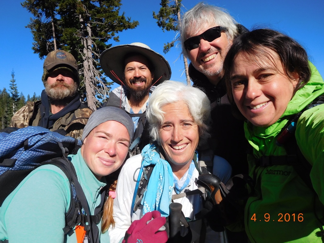
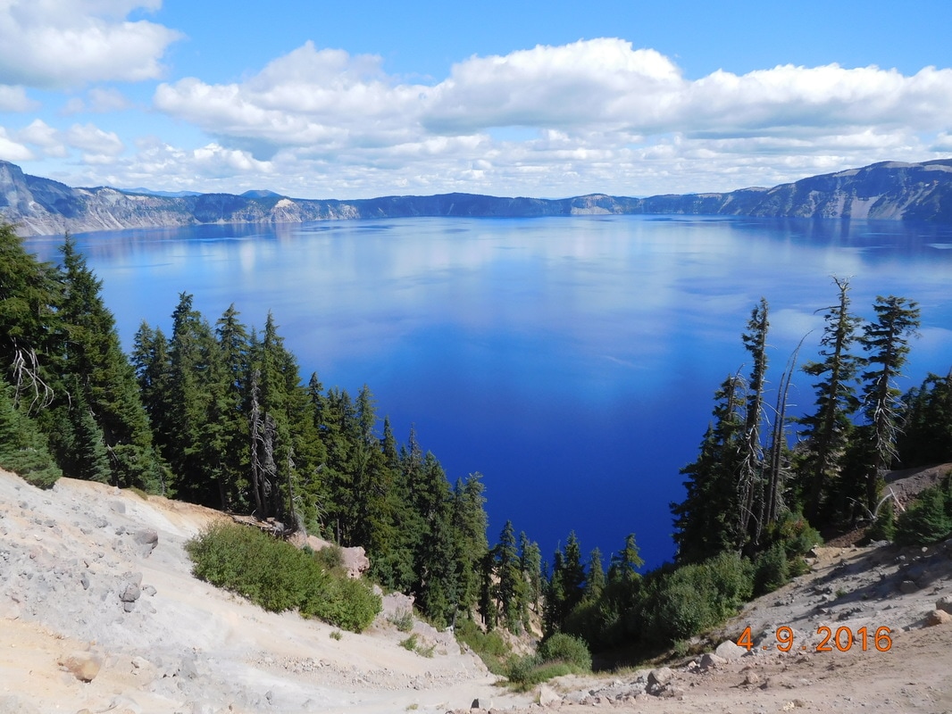
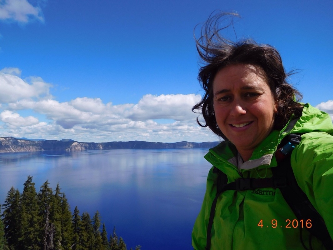
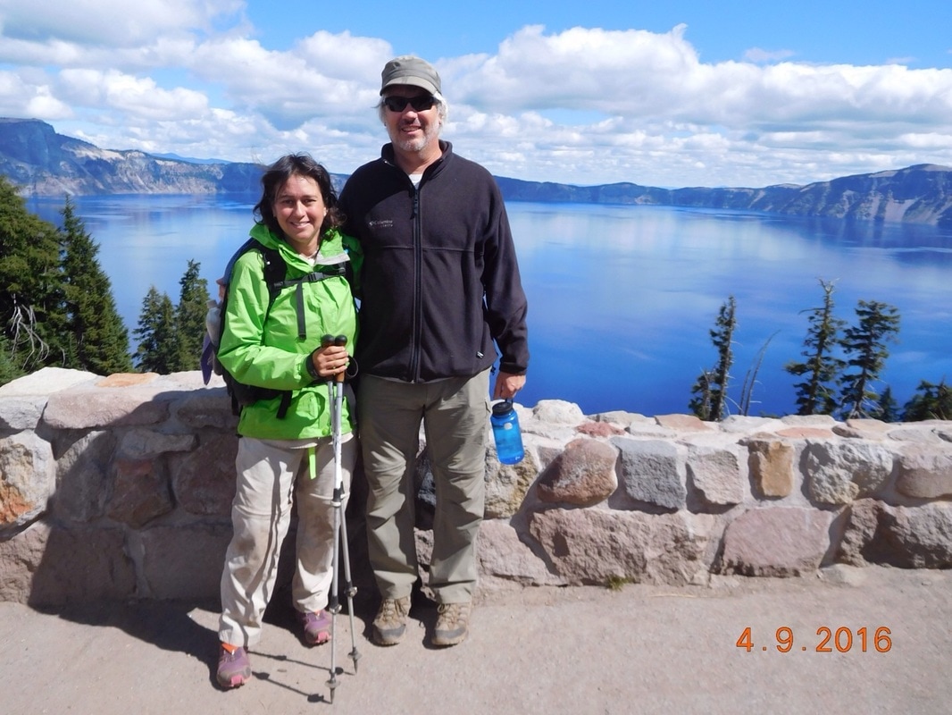
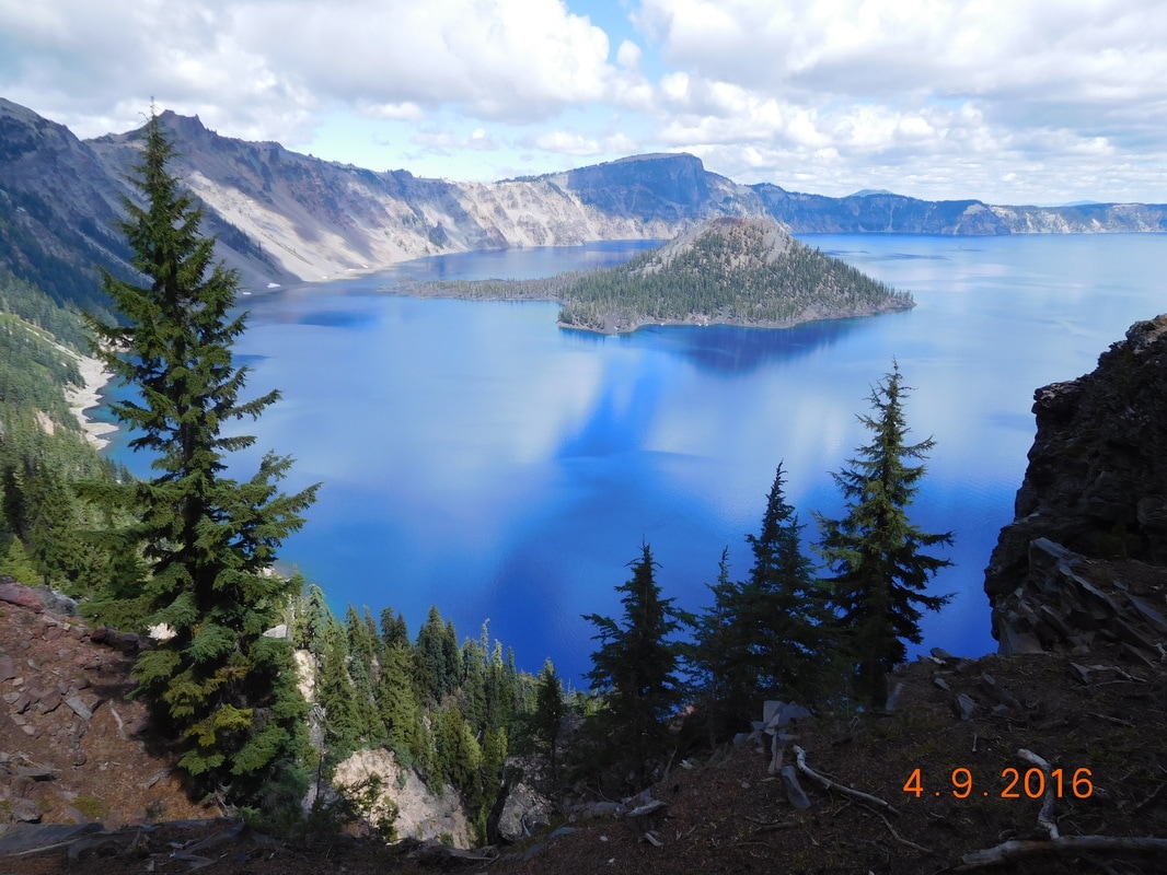
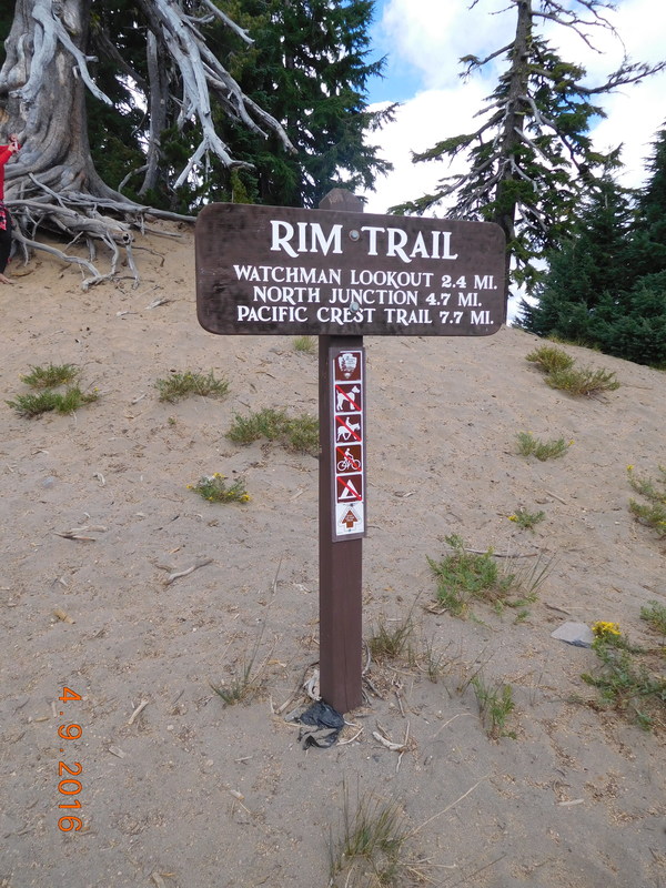
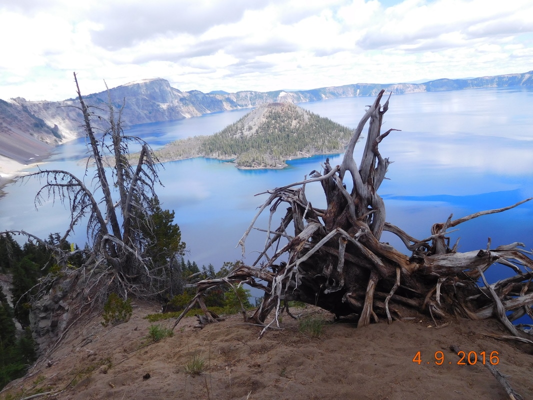
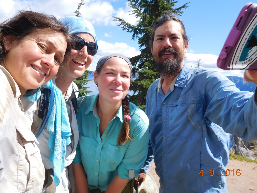
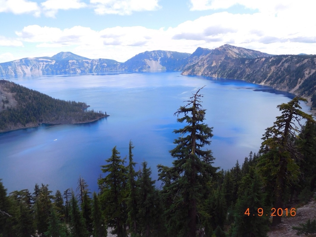
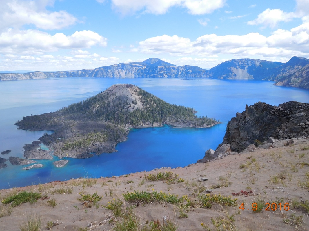
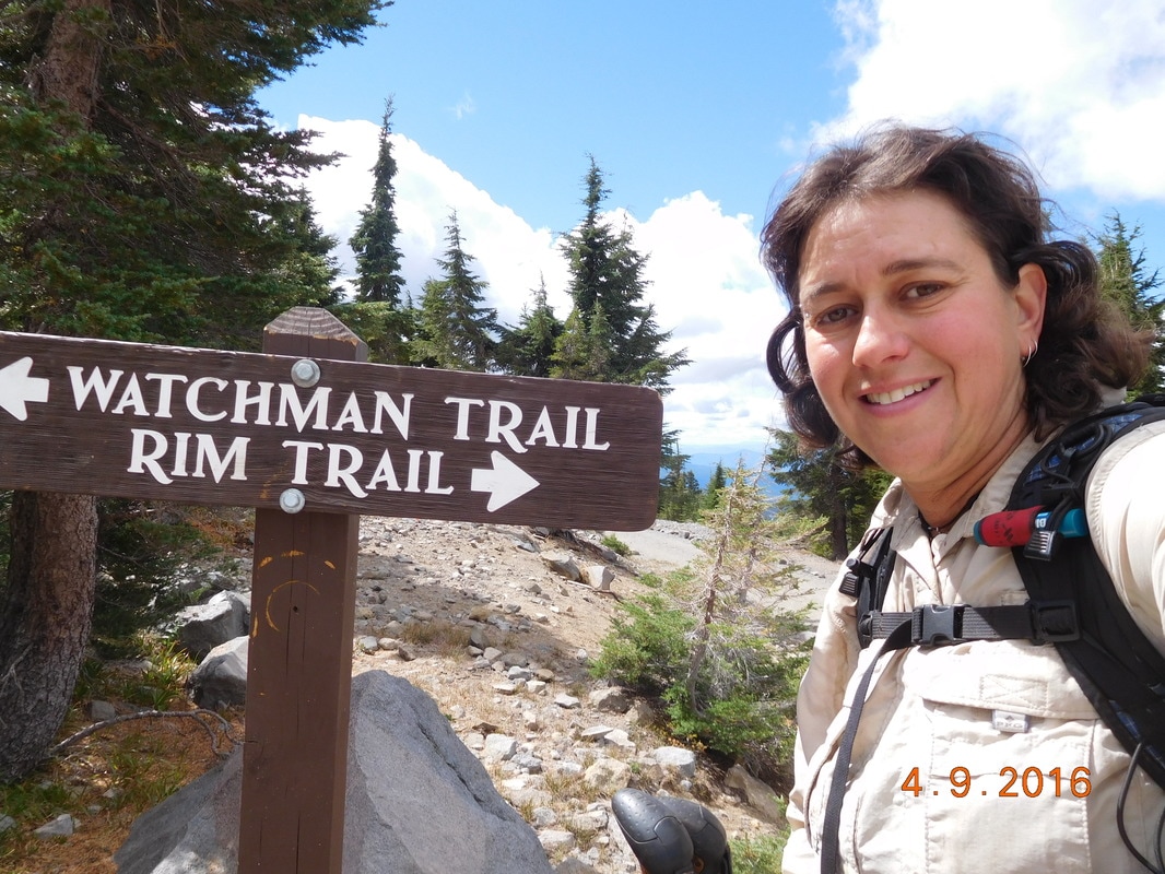
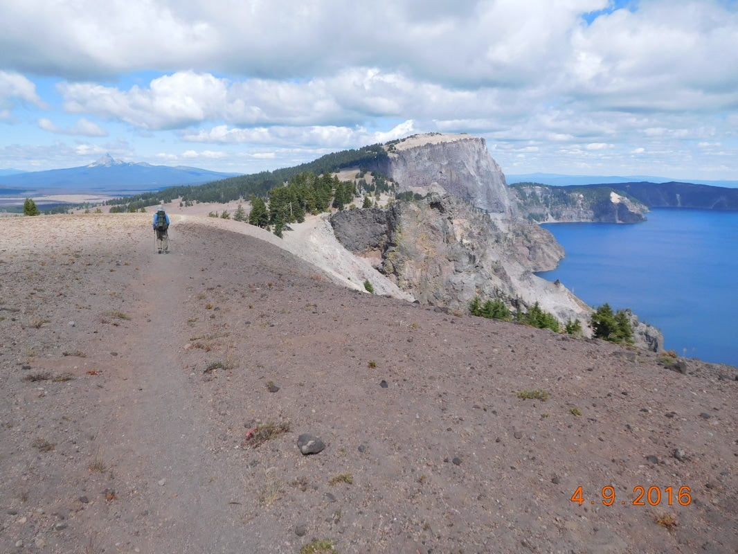
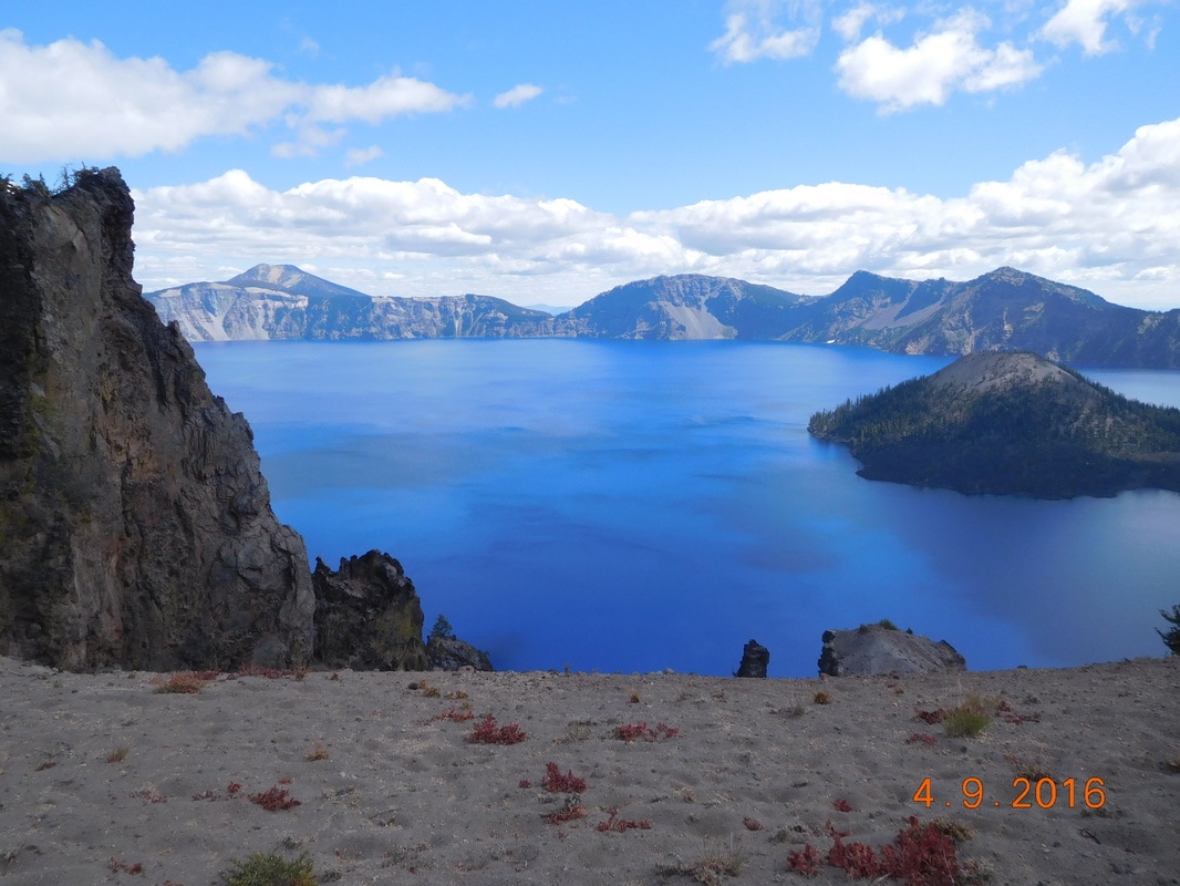
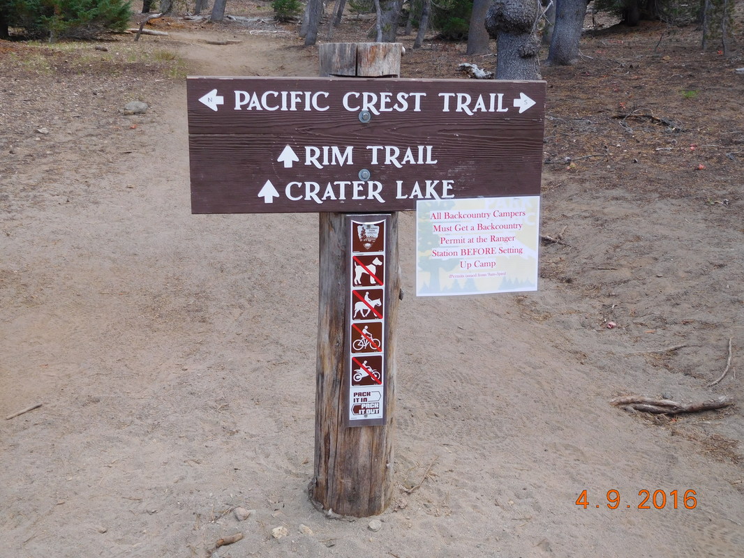
Crater Lake National Park, Mazama Village Campground to North Crater Trailhead We woke up freezing this morning. Share Bear's thermometer read 25 degrees...literally freezing. We quickly got our gear together and walked back to the general store. The sun was rising on the other side of the building so the picnic table was in the shade. The warmest place we found to eat breakfast was the laundry room, so we piled in there. Between the cold outside and the warmth of the laundry room we seemed to take our time getting ready to hike. We were all finally ready to go at 8:50 AM, at least one hour later than I planned. We are slack packing today and Indra is joining us. We first met Indra north of Yosemite about 1.5 months back. She has been a day or so in front of us lately, but she had a few days where she wasn't feeling good so put in some shorter days, allowing us to catch up to her. Today is an exciting day. We get to hike the 9.3 mile rim trail along Crater Lake. This trail is actually an alternate of the PCT and is 5.5 miles shorter than the PCT. It may be shorter, but it is a lot harder with more ups and downs than the actual PCT. Pretty much every PCT hiker takes this alternate because if you didn't then you would not see Crater Lake at all. Which means you would miss seeing this: How incredible is that?!? Well, here are some more photos of this amazing place: Coming here I thought, as I assume many of you do, that the crater this lake is in was formed by a meteor. Well, it wasn't. This crater was once a huge volcano that erupted and fell inside itself and formed the crater. Wizard Island within the lake is actually a volcano. As you can imagine, we didn't make great time as we hiked along the lake. We kept stopping and staring and admiring and taking photos is the lake. We made it to the Watchman Trailhead which at 7,671 is the highest point remaining for us for the rest of the PCT. I guess it is all downhill from here. Hiking along the rim of Crater Lake is definitely a highlight of the PCT. After 6.3 miles of rim hiking the rim trail headed away from Crater Lake and back towards the actual PCT. About 0.5 miles later we saw Tim hiking towards us. 2 miles later we were at the trailhead where he parked. At this point we had a decision to make whether to hike on the 8.8 miles to Highway 138 as originally planned or hike some of the way. If we can hike the entire distance Tim can meet us at the highway so we can slack pack. If we plan on stopping short we have to carry all our gear. Oh, by the way. It was almost 4:30 PM when we had to make this decision. After a short discussion and looking at the climbing profile and seeing that in the 8.8 miles we climb only 261 feet and go down only 858 feet we were confident we could make it there before full dark. So we headed back out. We took it as a challenge to get these 9 miles done as fast as we could. We figured we could easily hike 3 miles per hour given the terrain and slack packing. Meaning we should make it to Tim in 3 hours. In the first hour we covered 3.4 miles...amazing. Just over 2.5 hours later we made it to the highway, and 10 minutes later we made it to Tim. Tim was quite surprised to see us so early. He figured we would be another hour or so. Woohoo...we are awesome. Brad and Indra showed up 10 minutes later. They had an awesome hike as well.
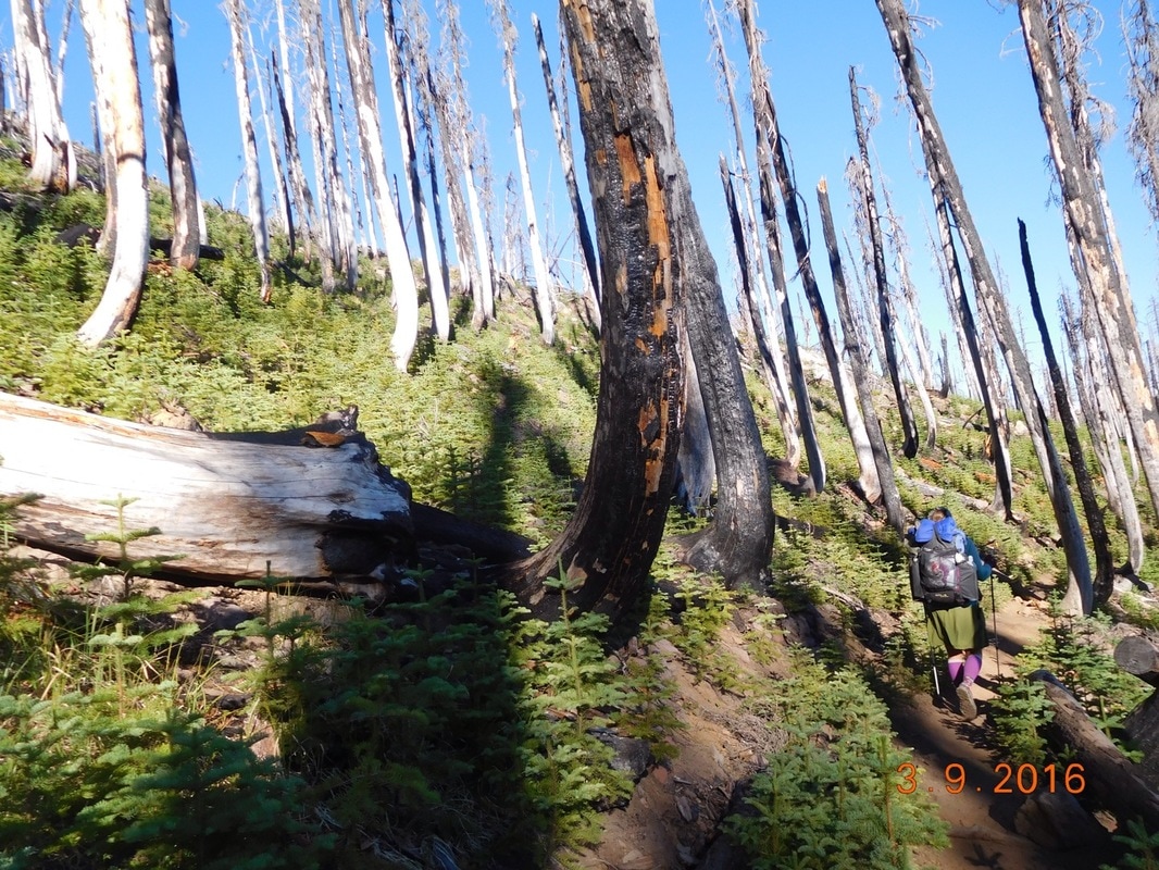
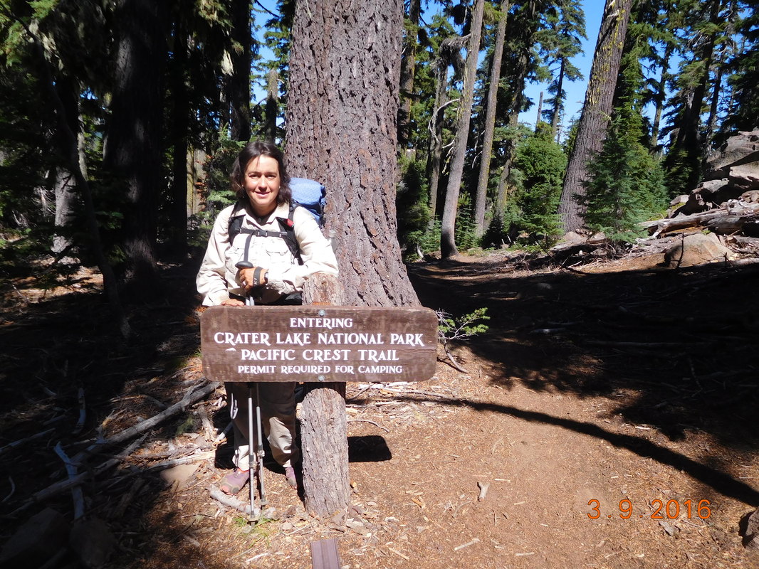
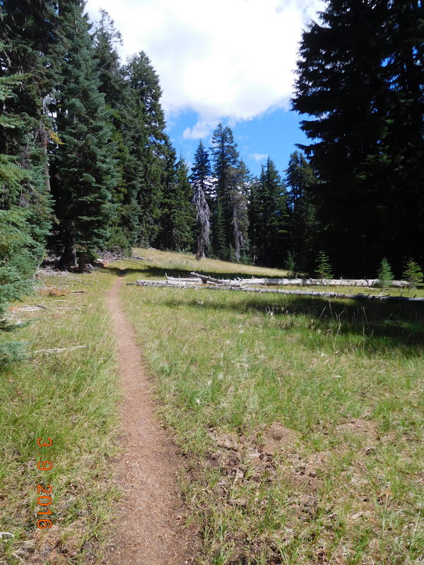
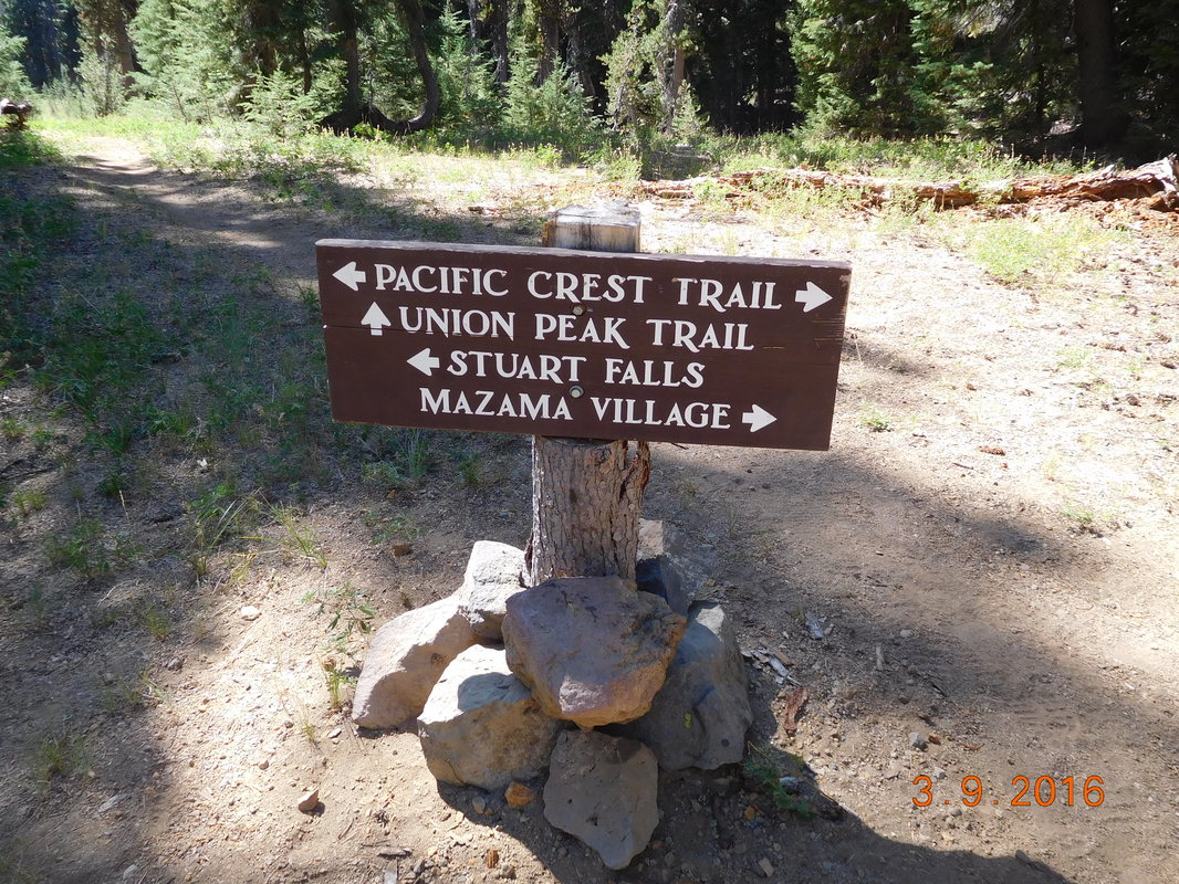
We all quickly ate dinner and got in our tent to get warm. Tomorrow we start a 3 day stretch without Tim. He will be staying in an AirBnB south of Bend, as we continue dealing with these cold evenings and mornings. Good for him...after all the support he has provided the past week, he deserves it. Campsite at mile 1803.33 to Crater Lake National Park, Mazama Village Campground It was a really cold night last night. Definitely one of the colder nights on the trail. I stayed tucked totally inside my sleeping bag for the entire night. I woke and looked at my watch, it was 6:15 AM and I didn't hear any rustling from the other tents. I called out and Share Bear answered. It was time to get up, but no one wanted to get out into the cold. My motivation was the need to dig a cat hole. A soon as I started making noise the others followed suit. The cold seemed to slow us down this morning. We weren't ready to hike till 7:42 AM. Burr...the hike started out chilly. Share Bear's thermometer read 40 degrees. I hiked with my gloves on for the first 2 hours or so. Luckily the day started with an uphill to warm us up some. There was also plenty of deadfall that we had to make our way around. That I could do without. At the top of the climb we emerged into a burn area that was really cool looking, especially with the deep blue sky and the new green growth. Today we hike into Crater National Park where we will meet Tim and spend the night. We entered the park boundaries just before noon. I was pretty excited since this is one national park I haven't been to and really want to see. The trail was just beautiful going through this meadow. The PCT sign of the day points out Mazama Village where we will be meeting Tim, eating yummy food, and spending the night. We were about 1 mile from Mazama Village when we caught up to Steu hiking with his dog. He hiked with the the rest of the way. He was a fascinating man who said he was a life coach and a philanthropist. We traded email address, so I hope to hear from him again. Tim met us at the trailhead but since he had everything with him we couldn't fit into the 4Runner, so he took our bags and we walked into Mazama Village. He met us, we ate at the restaurant, and socialized with other hikers. We saw Blackout, Stitch, and the Canadian brothers just to name a few.
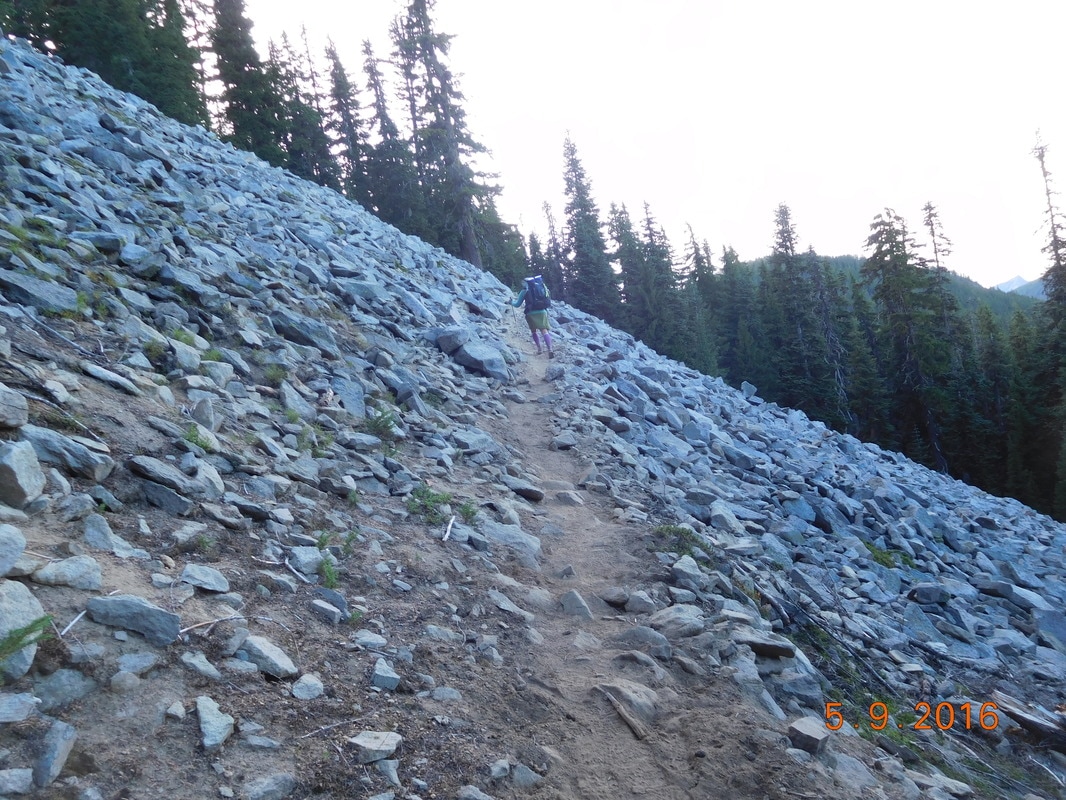
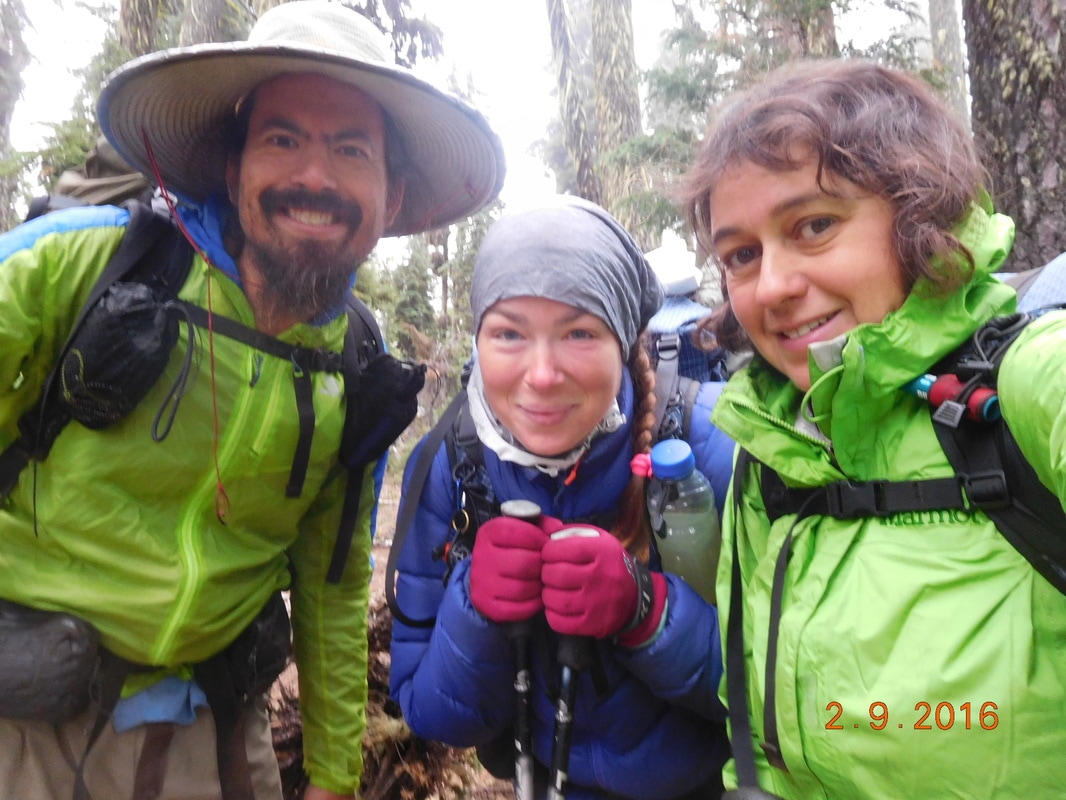
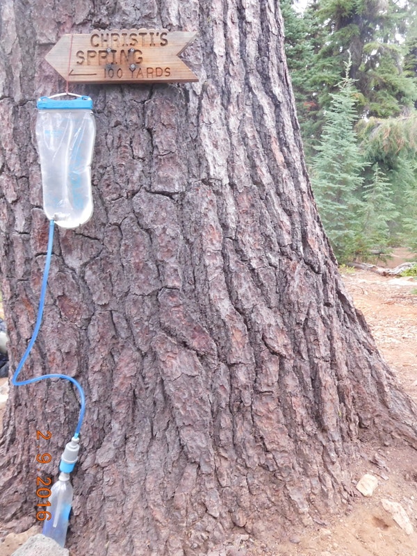
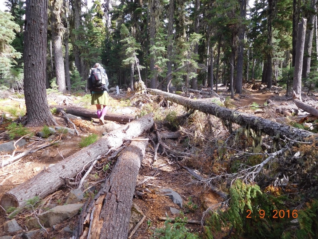
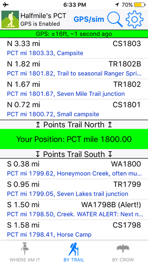
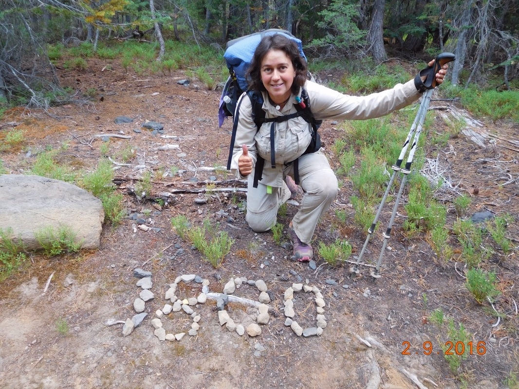
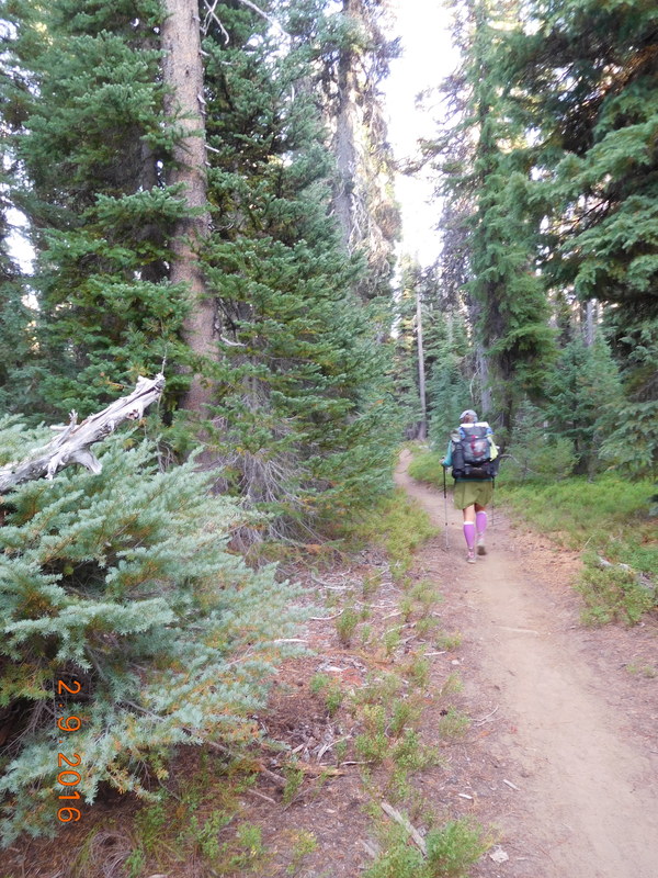
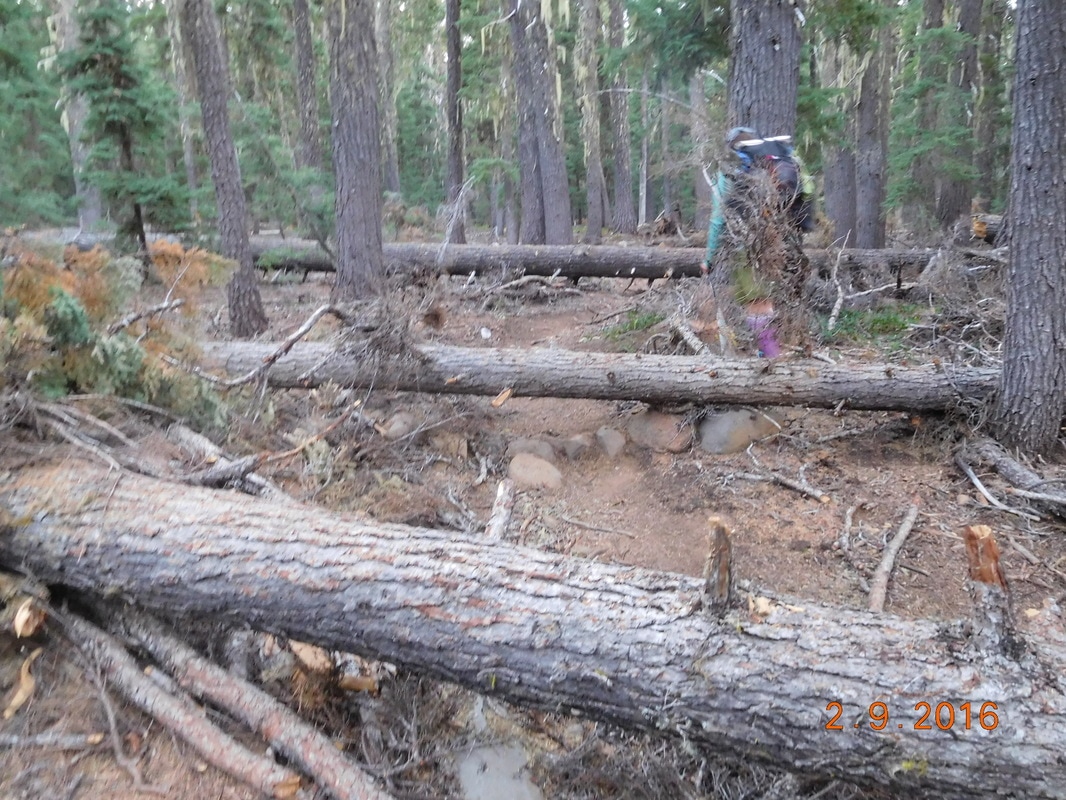
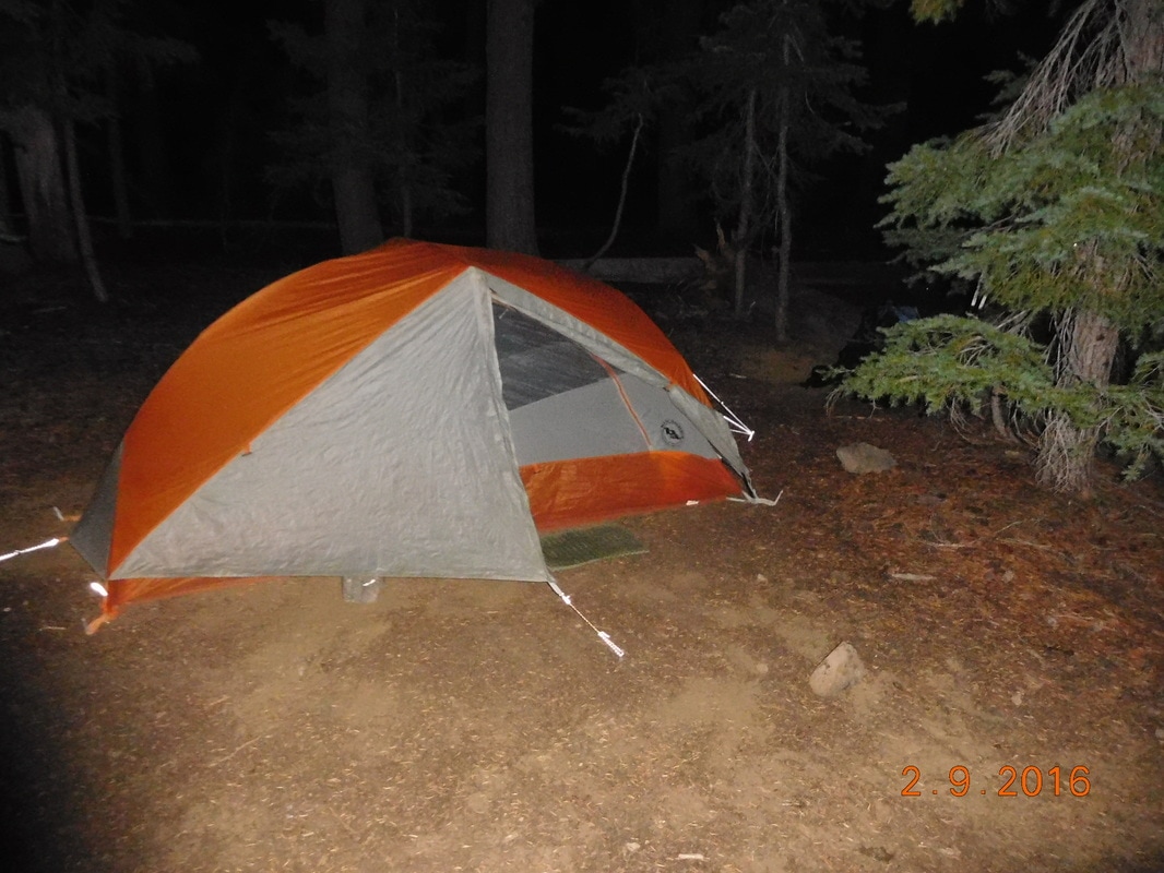
The campground has an area for PCT hikers so Tim left the 4Runner and trailer in the parking lot and packed his backpack for the walk to the campground. As soon as he put the bag on his back he said he remembers why he isn't hiking the PCT. Tomorrow should be awesome. We hike the Crater Lake Rim Trail which is supposed to be spectacular...plus, we get to slack pack it. So, until tomorrow... Campsite at mile 1782.26 to Campsite at mile 1803.33 Happy five month anniversary to me me on the trail. I started this hike 2 April...exactly 5 months ago today. I was awoken at 5:30 AM to Share Bear yelling, "Mighty Mouse...rain!" Somehow a very light rain woke her and she knew I didn't put on my rain fly. I jumped out of my tent grabbed the rain fly out of my bag and quickly covered my tent and everything inside of it. The alarms went off at 6:00 AM while very light rain fell. We all decided to stay in our tents to see if the rain would stop. By 6:40 AM it was determined the rain stopped and we finally got moving. We were then ready to hike at 7:41 AM. Not only did it lightly rain this morning, but it was quite chilly as you can tell from the photo above. By the way, the last time we saw any rain on the trail was 1,500 miles ago when we awoke on Deep Creek to a bit of rain. We hiked a whole 0.2 miles to Christi's Spring where we collected and filtered water. What better use for a sign pointing out a spring than to use it to hang your gravity water filter from? Today started like yesterday ended with lots of deadfall across the trail. This made the going slower than usual and was pretty tiring. We climbed up a bit of an incline and was rewarded with a view. It seems that it's been awhile since we had a view from the trial. The trail led us to the top of a rise and briefly went through a burn area: After lunch we hiked up another ridge and for this awesome view of the volcano Mount McLoughlin and a view of a valley: We climbed above 7,000 feet for the first time in a while and met three weekend hikers from San Fransisco. The woman had her shoe off and asked if we knew anything about blisters. Share Beat then went into action and took care of her. They then told us that the rock formation behind me is called Devil's Peak. One mile down the mountain from Devil's Peak was a steam were we had to stop to collect and filter water. This is the last water for 20 miles so we each needed 4 liters. There was a woman and her dog camping close by. Of course Share Bear got excited about the dog so we stayed and talked to her for a bit. We then realized that it was 5:00 PM and we still had a long way to go to get to camp, so let's go! Sounded great until we saw another hiker on the side of the trail one hour later picking and eating wild blueberries. Of course we had to partake. They were incredibly delicious. We could have hung there for a long time eating blueberries, but it was getting late and we had to get to camp. Woohoo...we hit a new milestone today...the 1,800 mile point on the PCT. The trail today was more rocky than it has been since we entered Oregon, but there were some really nice sections as well: It was getting late and we were about 1.5 miles from camp. Of course this is where the trail climbs and the deadfall returns. Here we had to get over three trees very close to each other on the trail: We finally made it to camp at 7:45 PM. The temperature had dropped some by that point and it was already getting dark. Luckily we decided to eat dinner for lunch, so we all ate quickly without having to cook and got into our tents. Tonight I didn't take a chance and put my rain fly on. It's been a while since I used it, and I miss seeing the stars above me. Oh well, it's better than being woken up by rain.
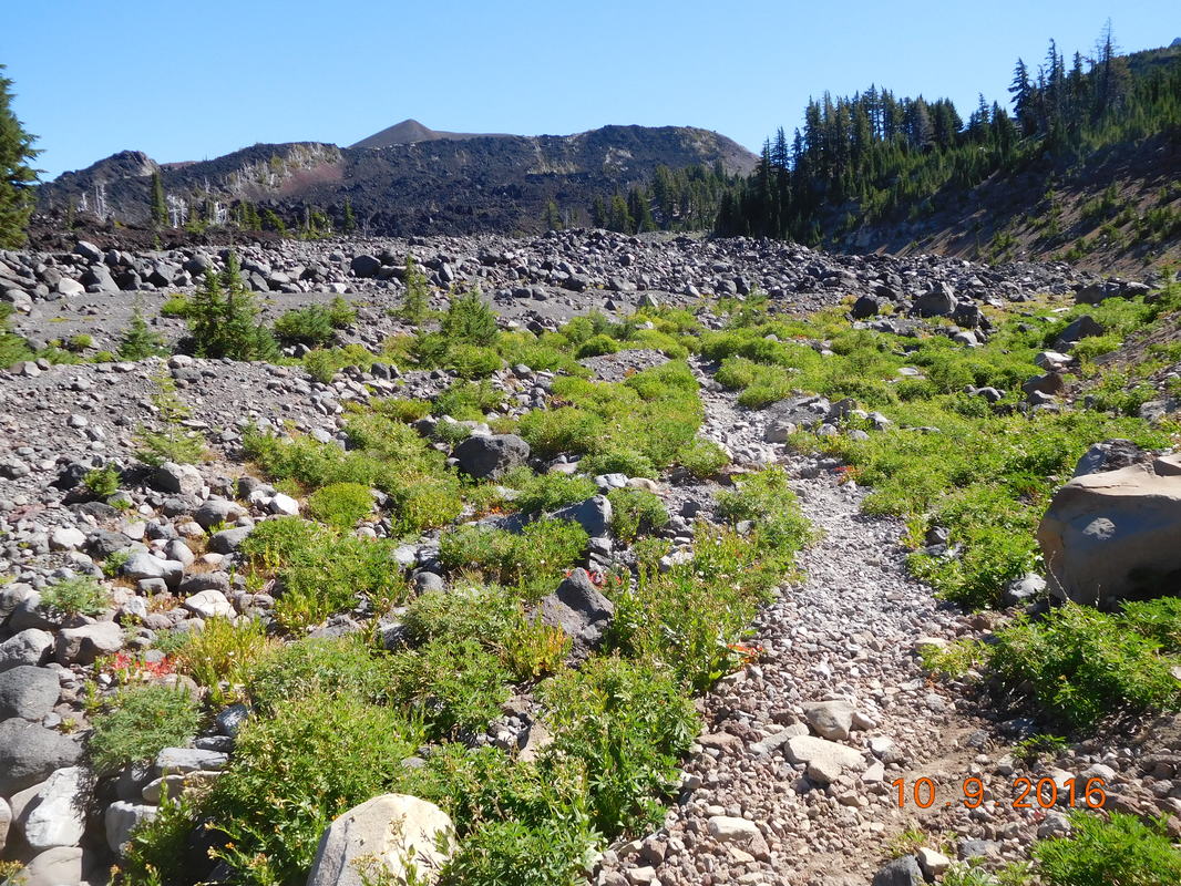
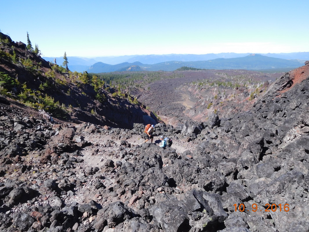
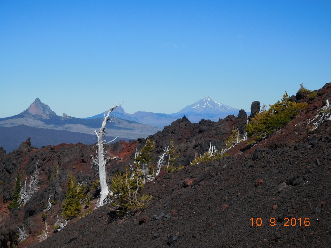
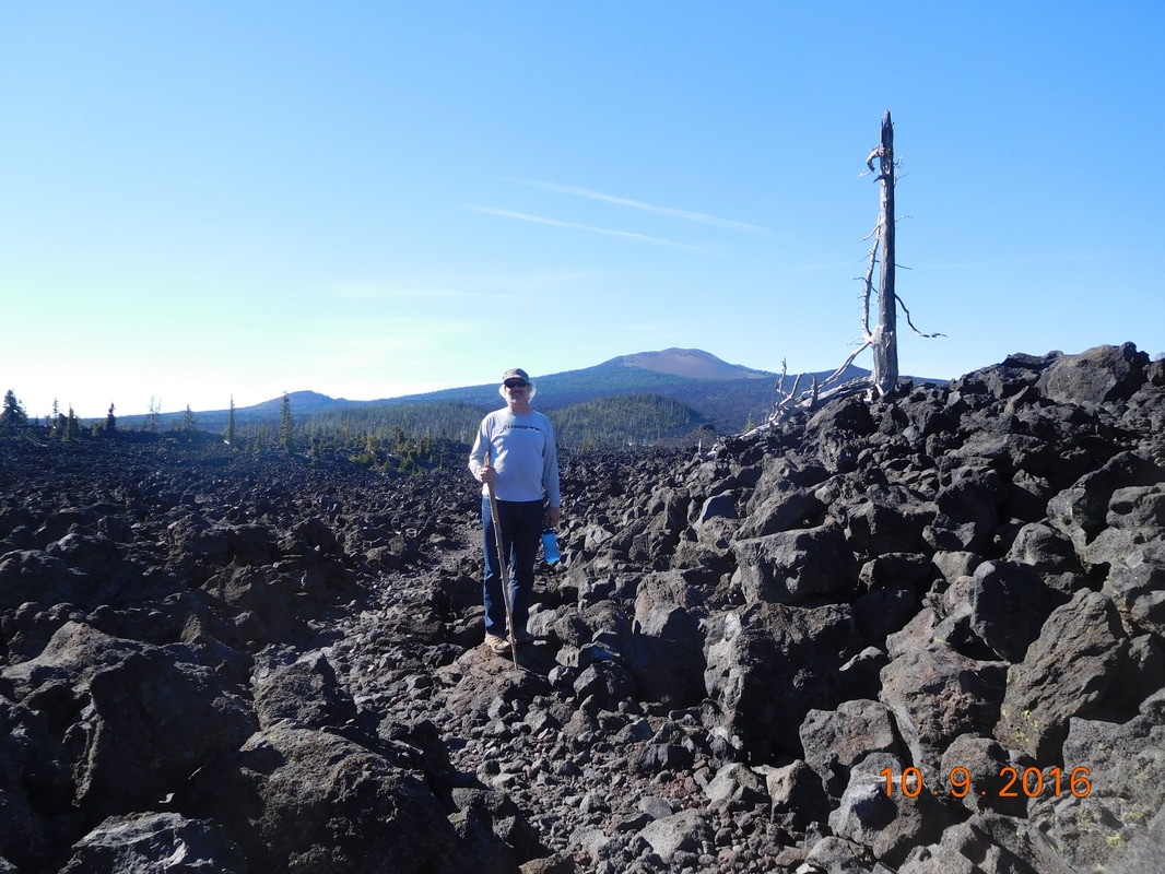
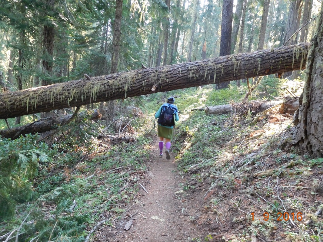
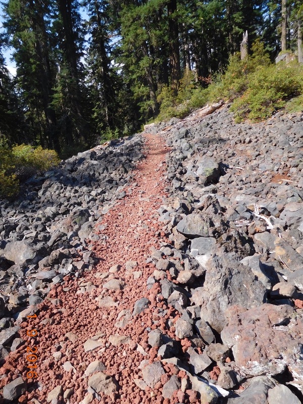
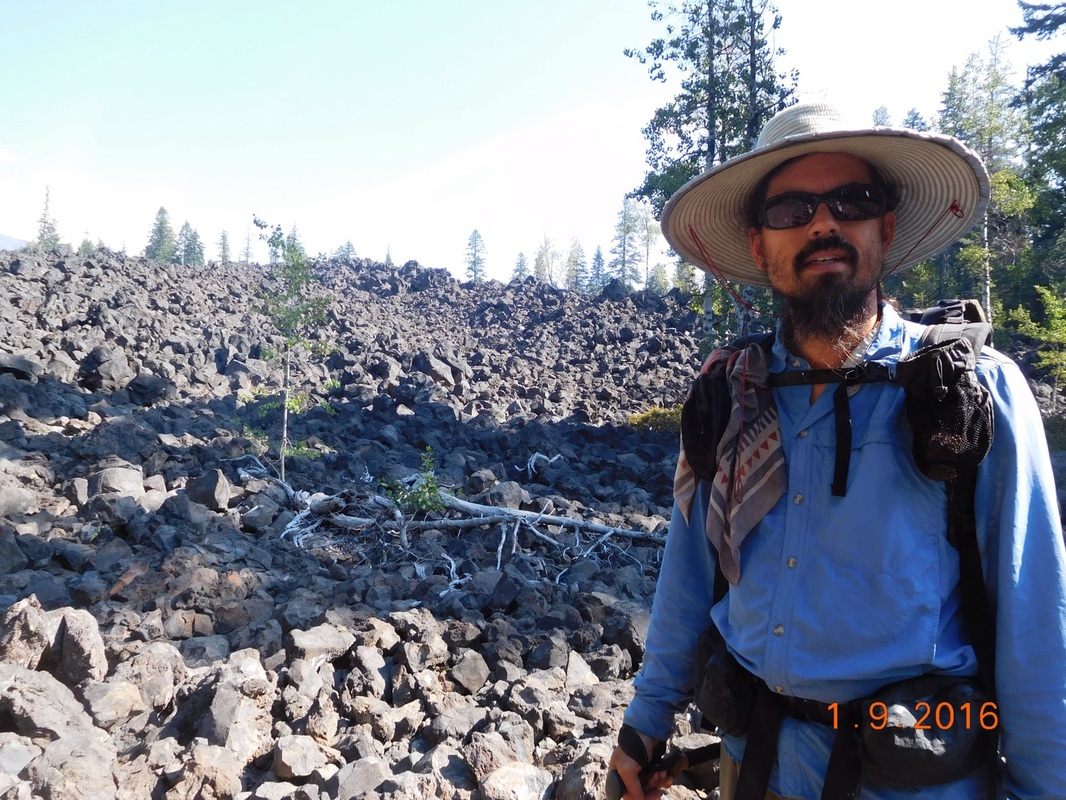
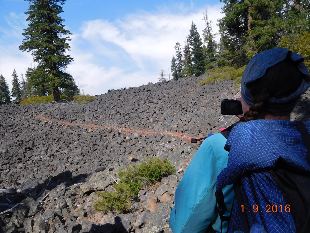
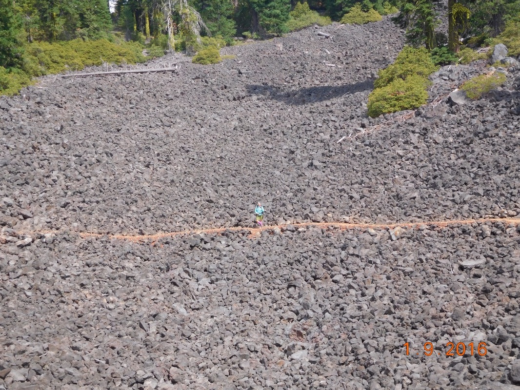
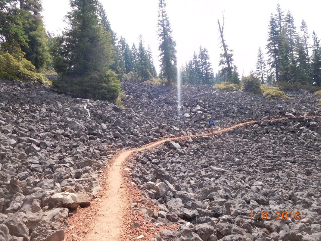
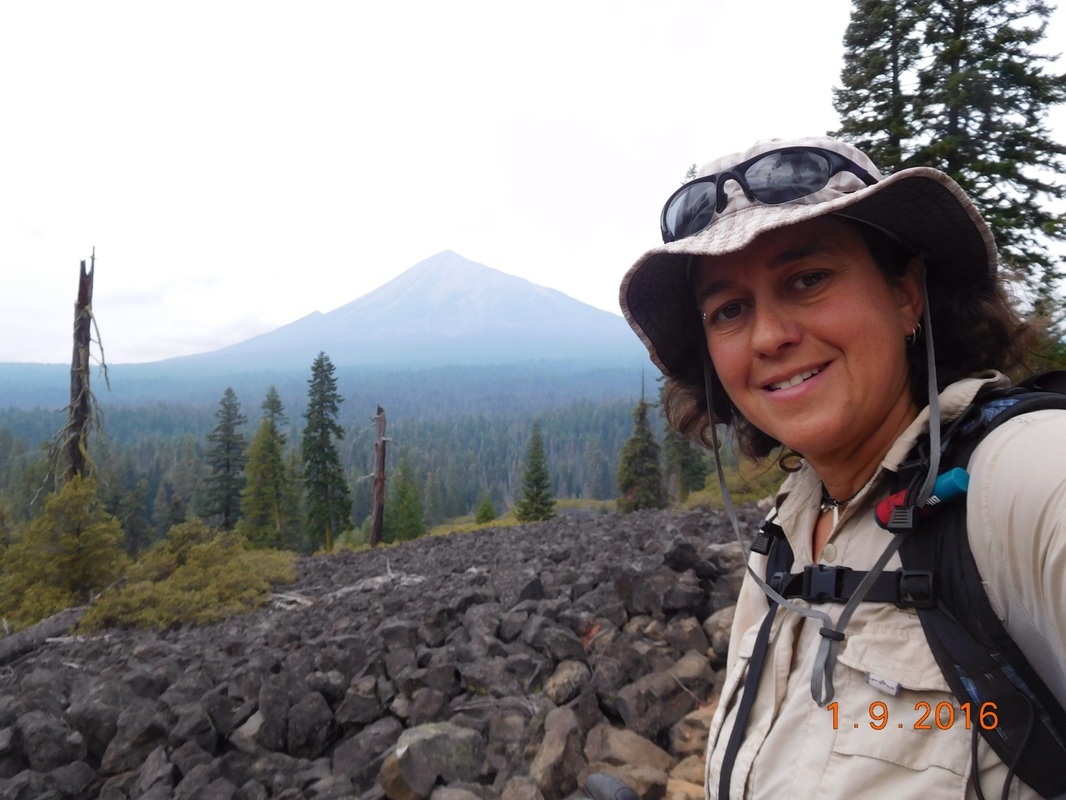
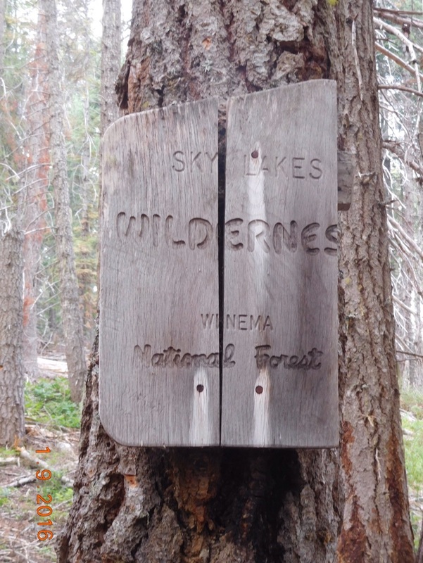
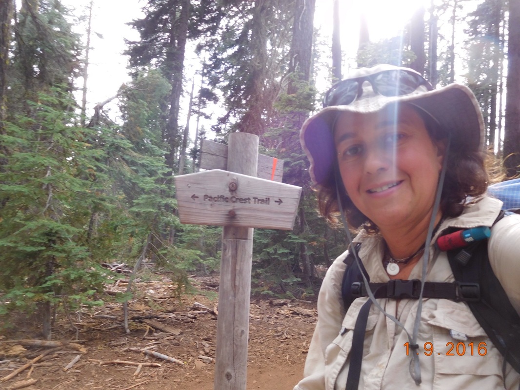
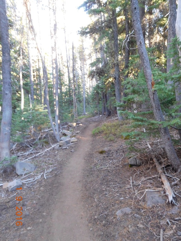
By the way, today we actually planned on camping 3 more miles up trail, but we didn't make it. Between getting out of our tents late and talking to many other hikers on the trail and the deadfall slowing us down and having to dry out our tents at lunch and picking/eating wild blueberries, we came up short. We now have 15 miles to hike tomorrow to meet up with Tim in Crater Lake National Park instead of 12...blah. Oh well....we will make it there tomorrow regardless. So, until then... Paved Dead Indian Memorial Road (Stayed in Ashland, OR) to Campsite at mile 1782.26 I had some trouble falling asleep last night in the hotel bed. Maybe I ate too much Japanese food or maybe it's that we had four people in tight quarters or maybe it was Brad and Tim trading snores, but I think I finally fell asleep around 11:30 PM. I woke just before the 6:00 AM alarm and wished it wasn't true. Oh well..I will be in my tent tonight so I should get a good night sleep then. The plan was to wake at 6:00 AM, quickly get dressed, eat our backpacking breakfast in the room, and get to the trail in time to start hiking by 7:30 AM. Well...we got up at 6:00 AM and got dressed, but that's all the goals we met. Our food was in the 4Runner, so we figured if we had to go out there for food then we may as well drive somewhere, so we went to a bagel shop down the road which took a lot longer than anticipated, so we didn't get back to the trailhead till around 8:40 AM. We did manage not to dilly dally and was ready to hike at 9:05 AM. We had another opportunity to slack pack, but this time it is only for 11.80 miles where we will meet Tim for lunch. Oh well...11.80 miles is better than nothing. Less than one hour into the hike there was a fallen tree above the trail. I thought it was pretty cool: About 5 miles into the hike the trail turned from nice dirt to a path covered with red lava rocks through a lava field. This kind of trail lasted a couple of hours as we circled the base of the volcano Round Mountain. The lava rock fields made for good background for photos. As we circled the base of one volcano, another one came into view. This one is called Mount McLoughlin. We had about 1 mile to get to Tim and then he was hiking towards us. We made it to the road and had lunch and packed all our gear in out bags. We will be on our own for the next 47.54 miles where we will meet Tim in Crater Lake National Park. After lunch Tim hikes about 1 mile with us and turned around when we entered Sky Lakes Wilderness Area. Oh, by the way, after lunch we got back on trail at 3:00 PM and we still had 11.38 miles till our planned campsite. We have some hiking to do! Here is a nice PCT sign: We took a short break at 5:00 PM and still had 6.5 miles to hike. We are just hoping we can get to camp before sunset. Luckily the trail was beautiful this afternoon. There was some climbing and many fallen trees that we had to negotiate around, but the trial was in awesome shape. Somehow we were able to hike the 6.5 miles in great time and made it to camp just before 7:30 PM. If only we stared out today on time, we would have made it to camp around 6:00 PM which sounds amazing.
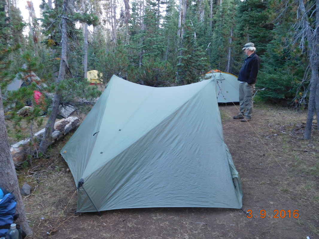
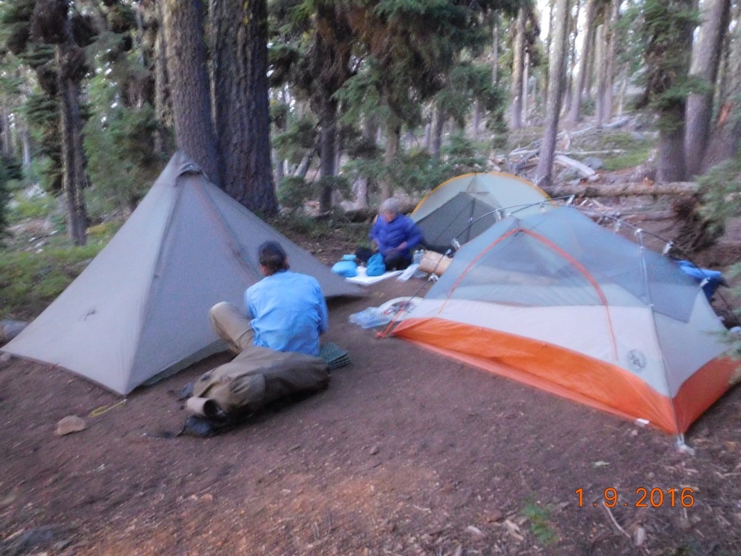
This site was advertised to hold 3 tents and that is about what it can hold. We are in pretty close quarters tonight. Tomorrow we plan on hiking just under 25 miles, so I better get to bed. It is a cool night, so it should be good. Until tomorrow... |



 RSS Feed
