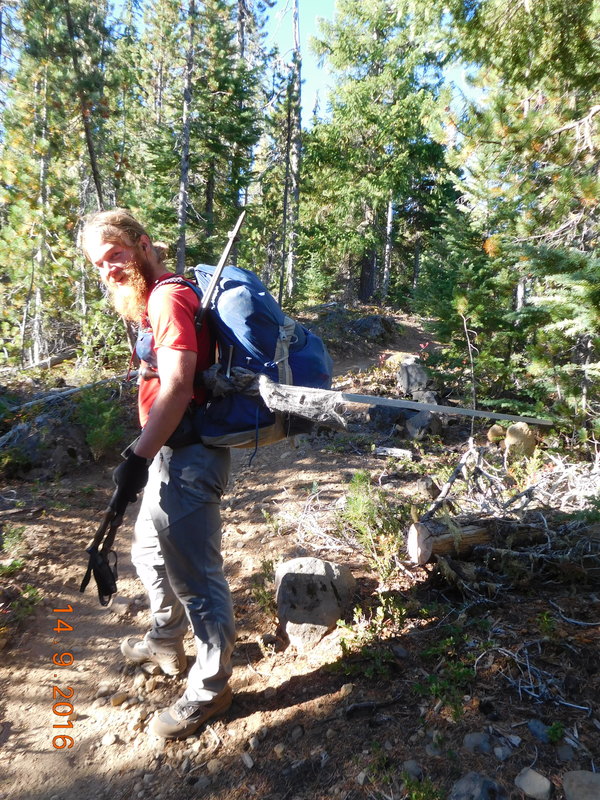
Campsite at Mile 2154.13, WA to Paved Panther Creek Road (Staying in Stevenson)
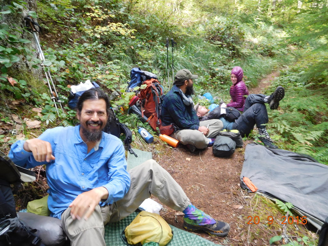
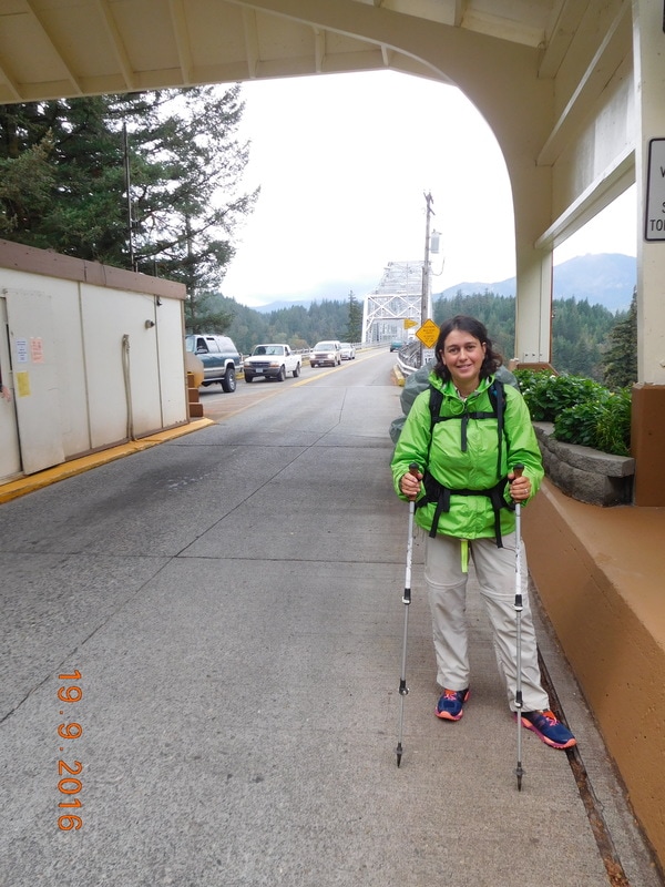
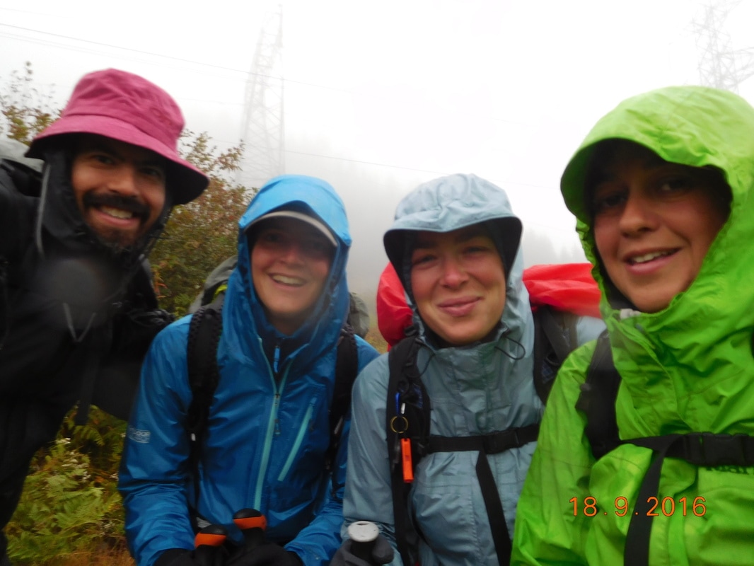
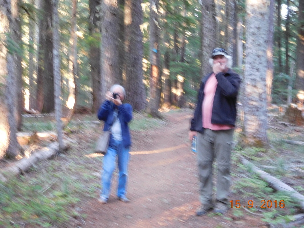
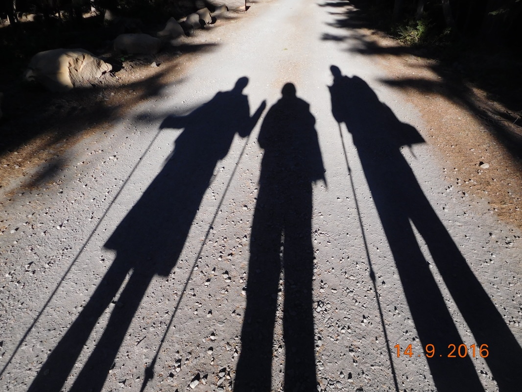
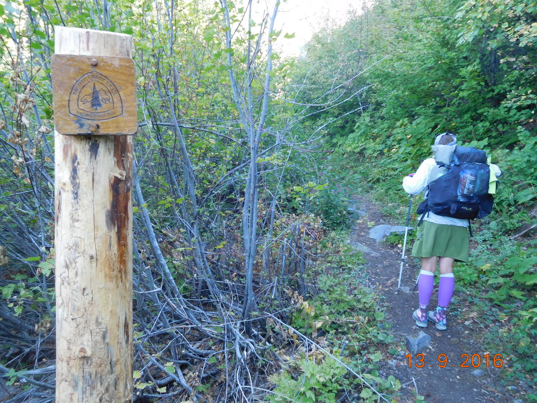
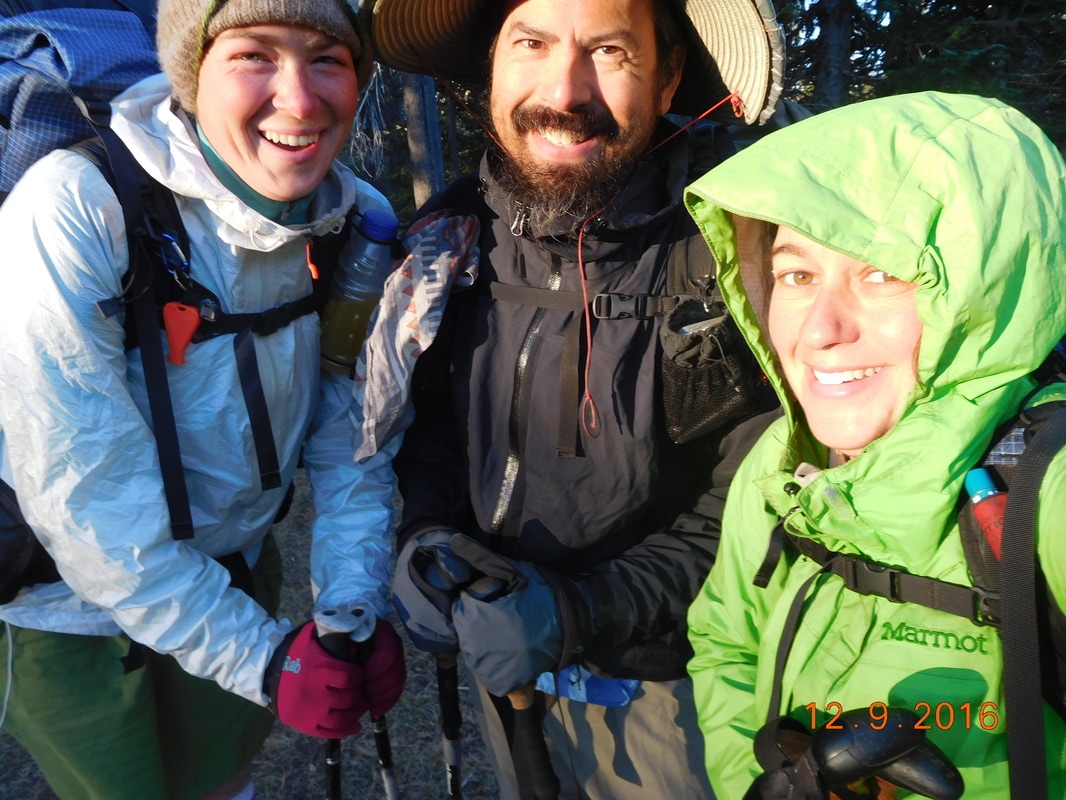
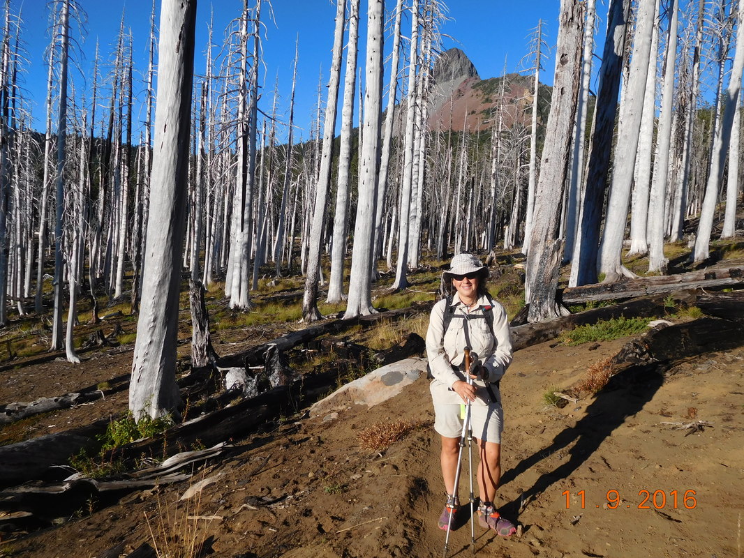
Somehow I managed to sleep on the uneven tent site. I guess it wasn't as uneven as it seemed. Jazzman woke at 5:15 AM and since his tent was just at the foot of mine, I woke at 5:15 AM. I did manage to fall back asleep and was woken by Brad's 5:45 AM alarm. Again I managed to fall back asleep for 15 minutes until I needed to wake at 6:00 AM. I packed up my stuff and left the tent. Jazzman was ready to hike while it was still dark. Stitch left soon after. We were ready to hike right at 7:30 AM.
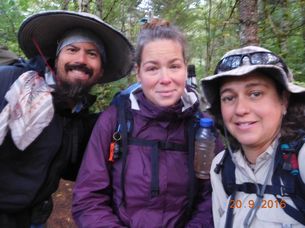
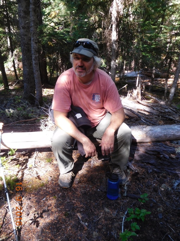
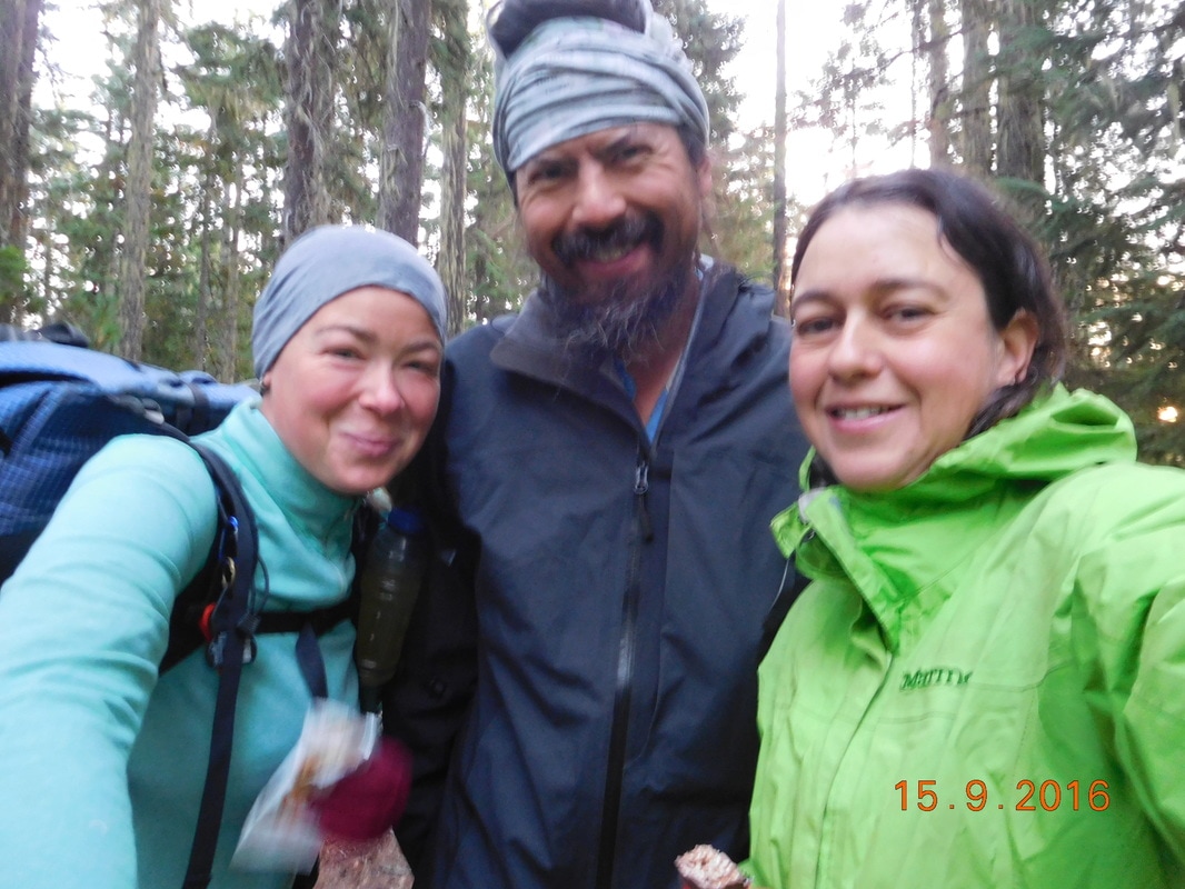
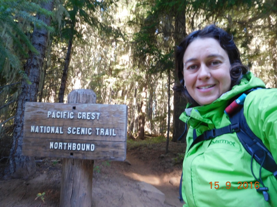
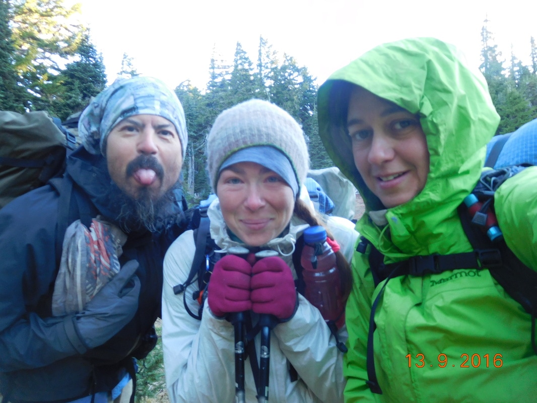
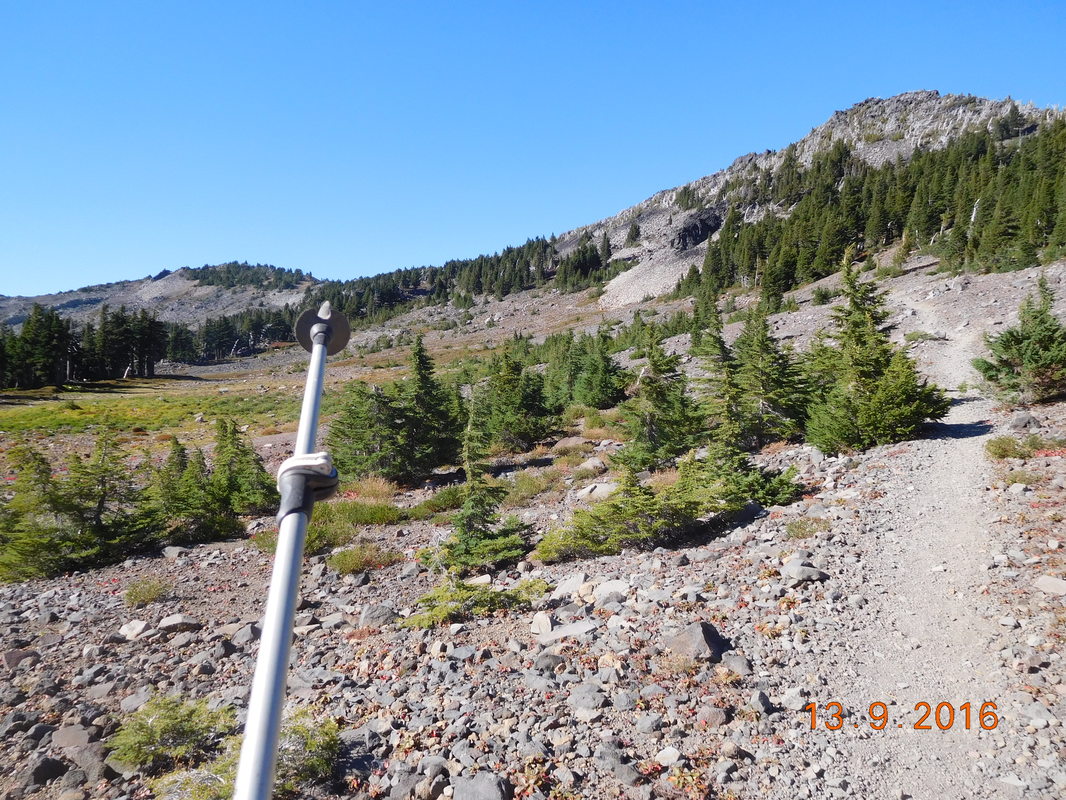
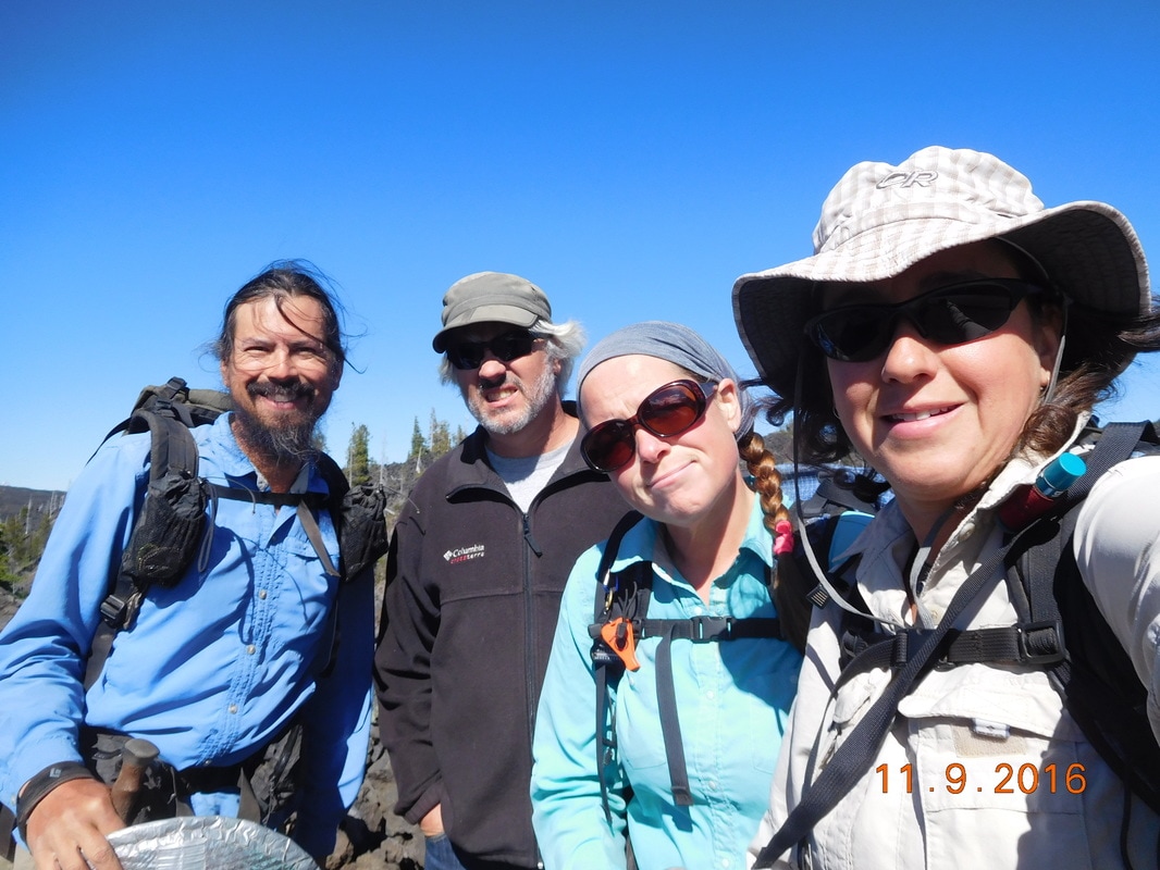
Ready to hike
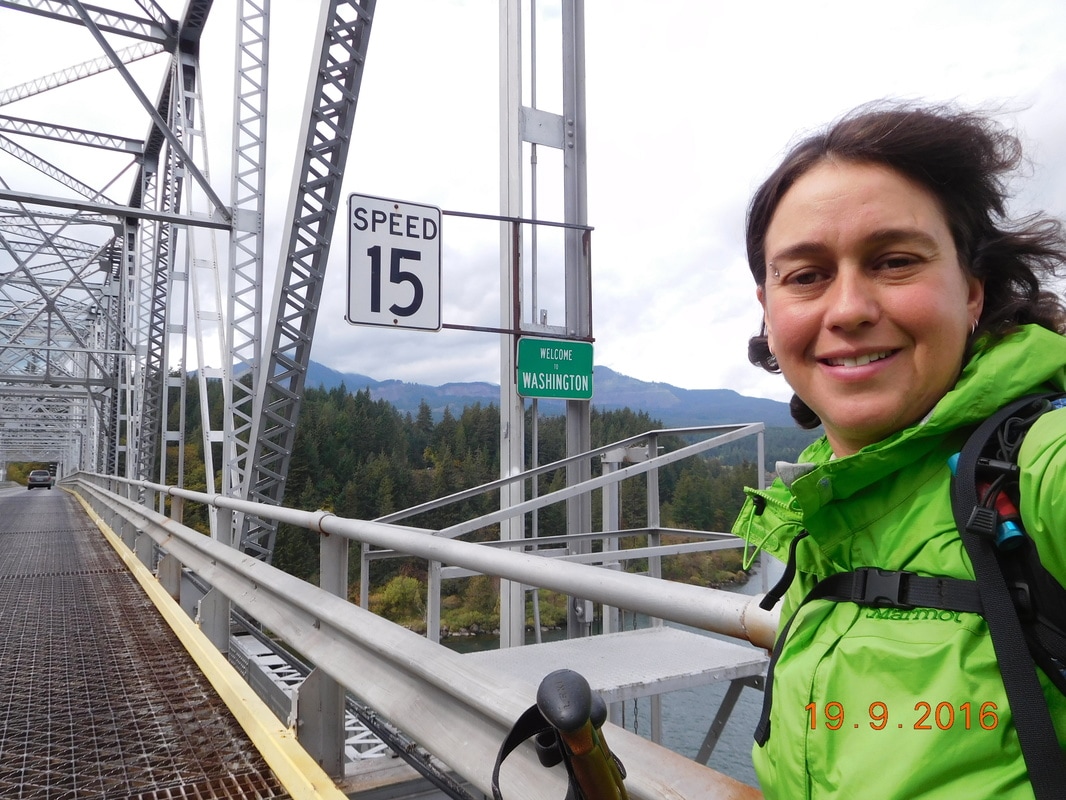
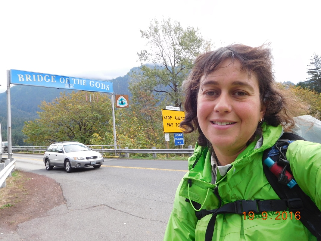
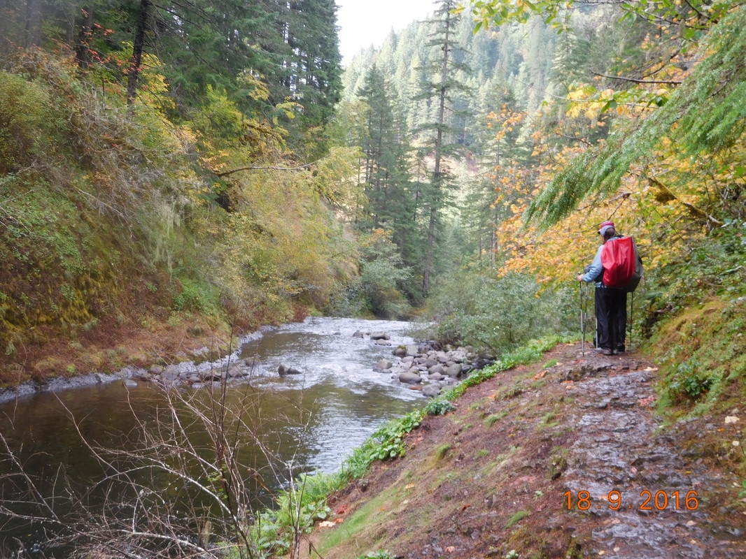
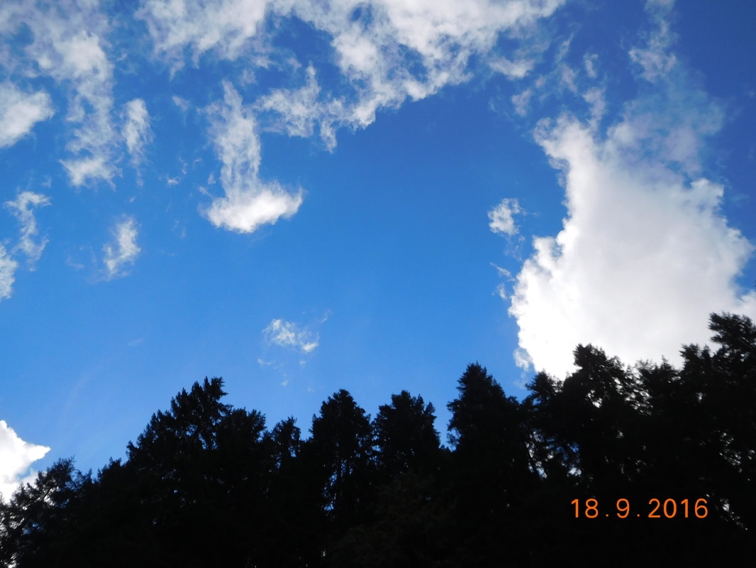
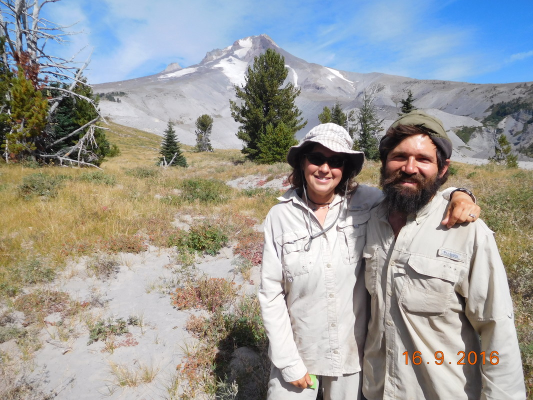
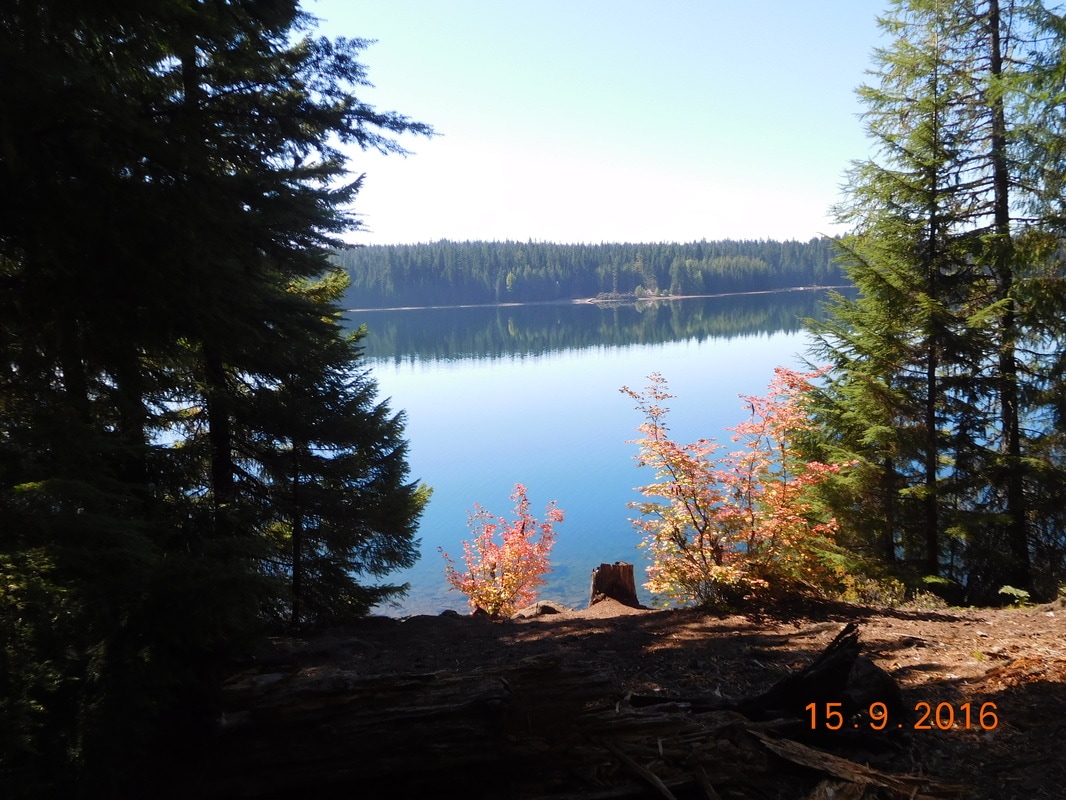
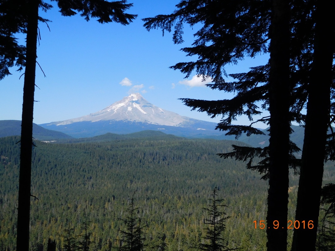
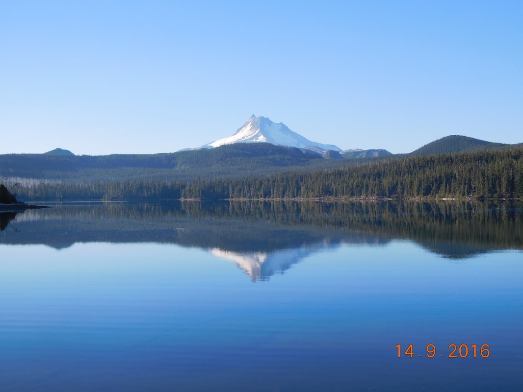
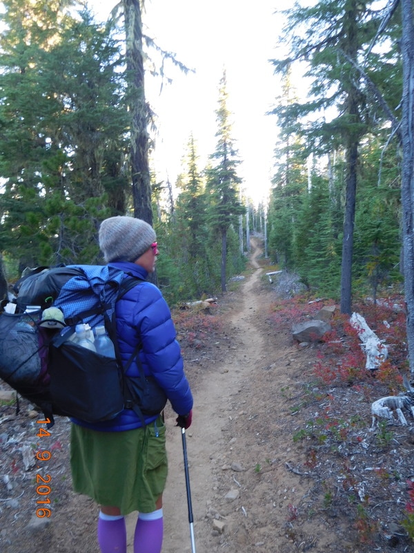
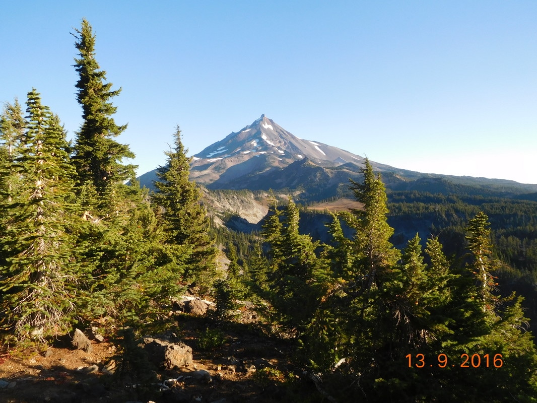
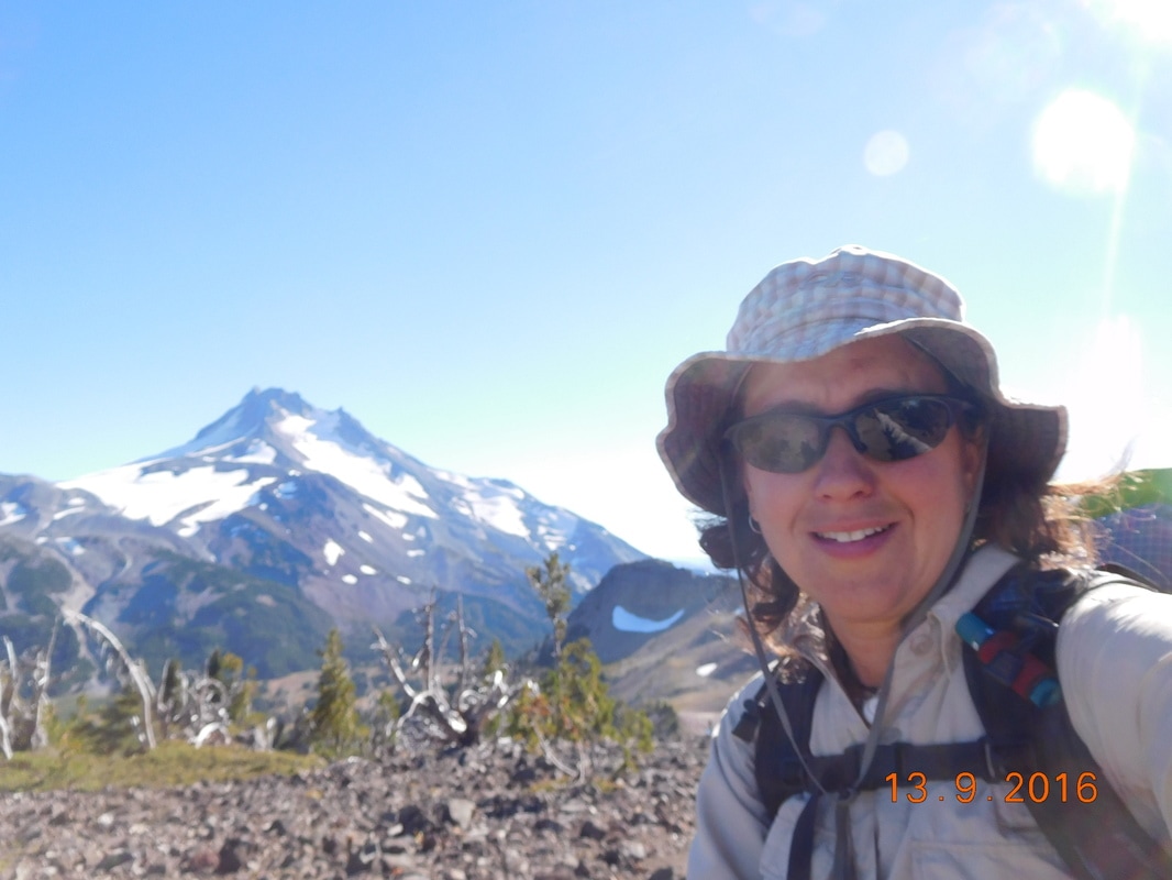
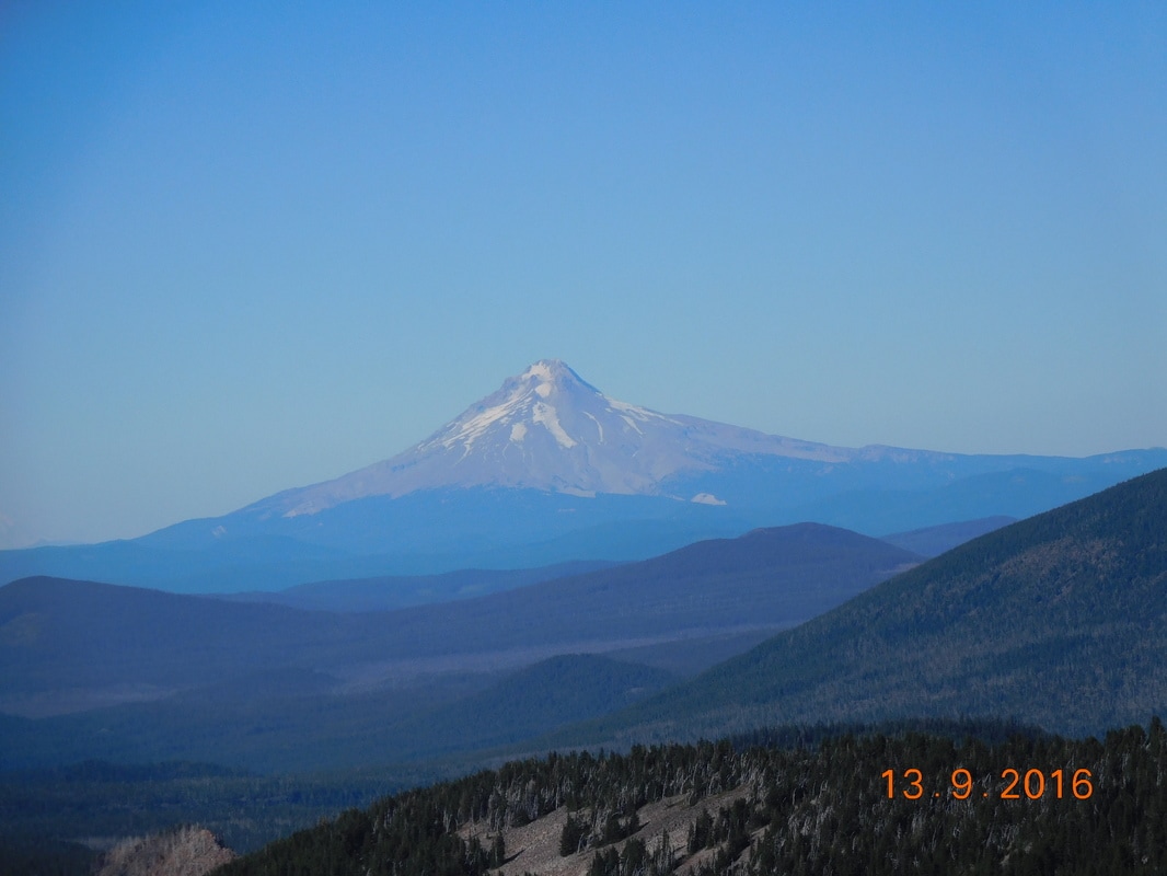
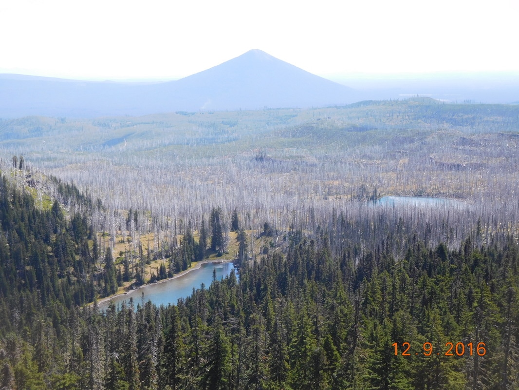
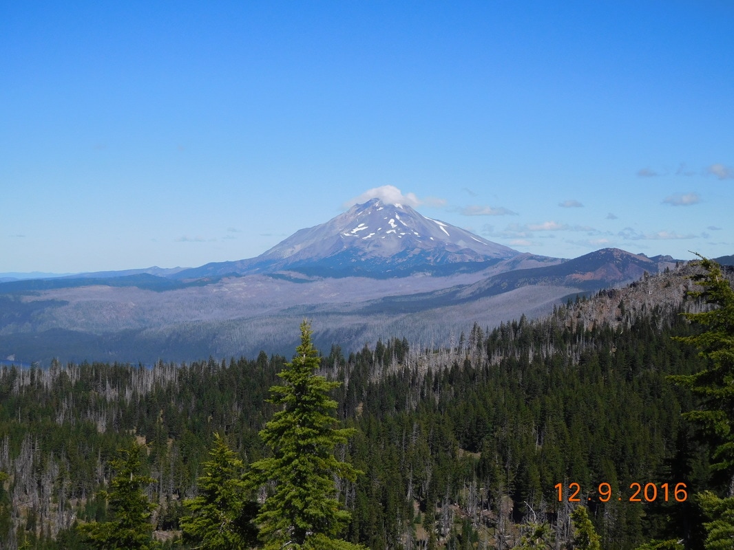
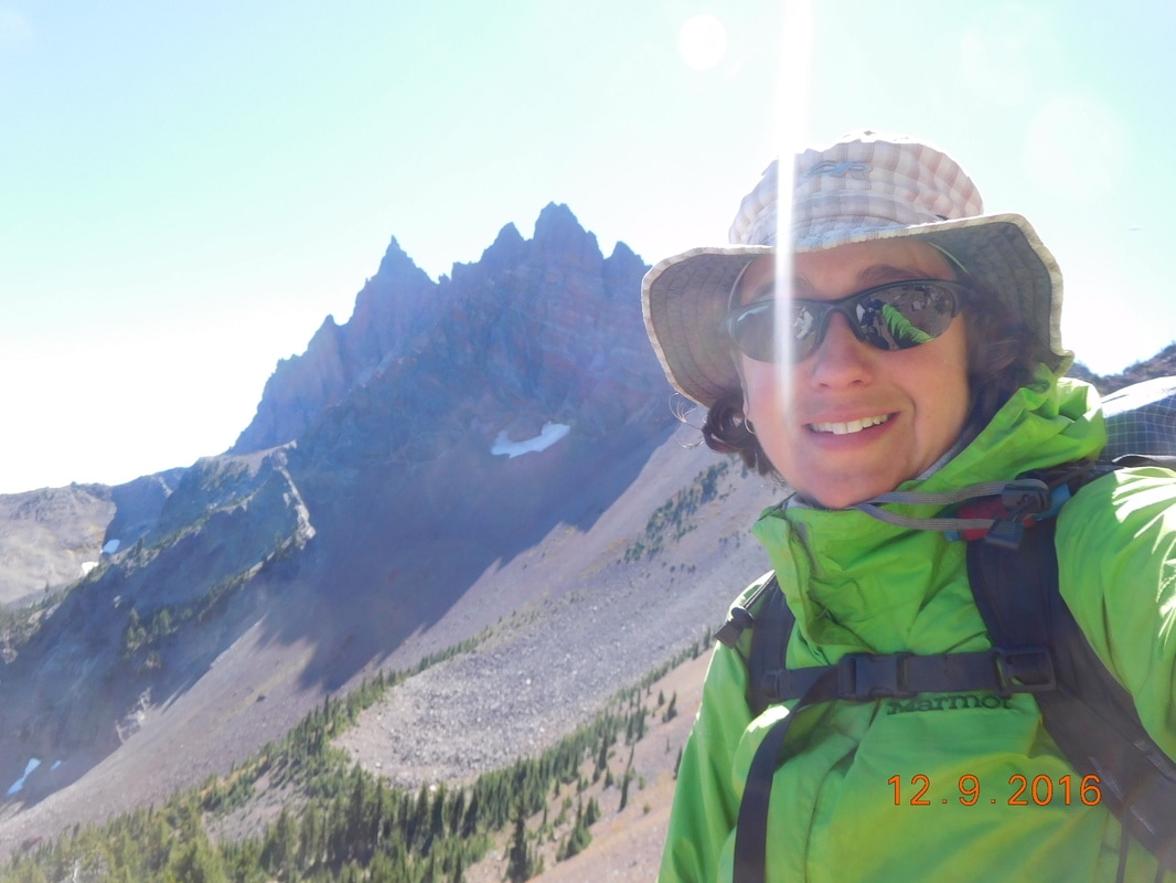
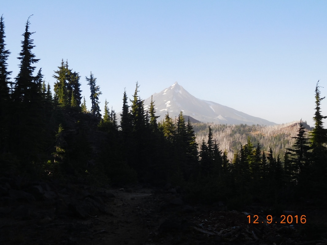
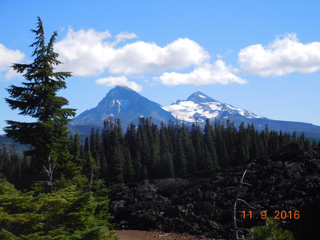
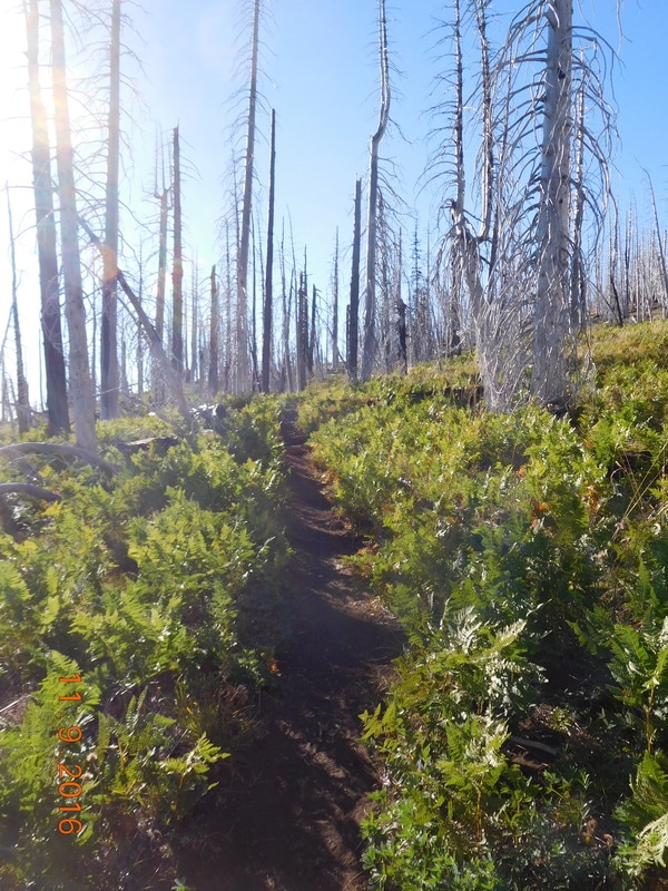
It looked like it was going to be a nice day and when we popped out of the forest and got a view, it was confirmed:
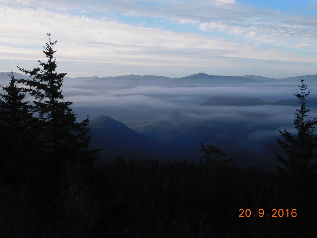
Start of a beautiful day
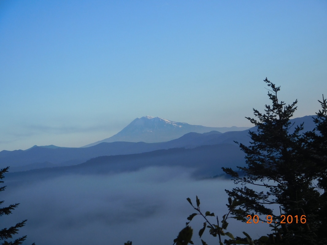
Morning over Mount Adams
We saw many of these slugs throughout the day...pretty big suckers.
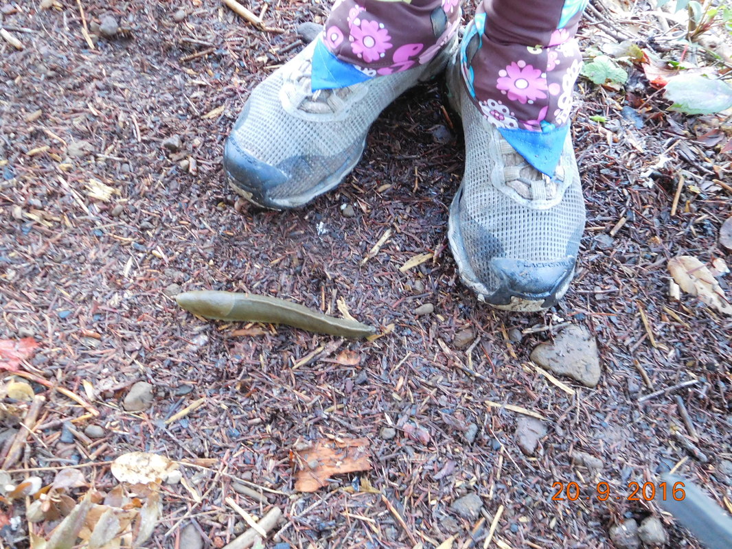
Large slug
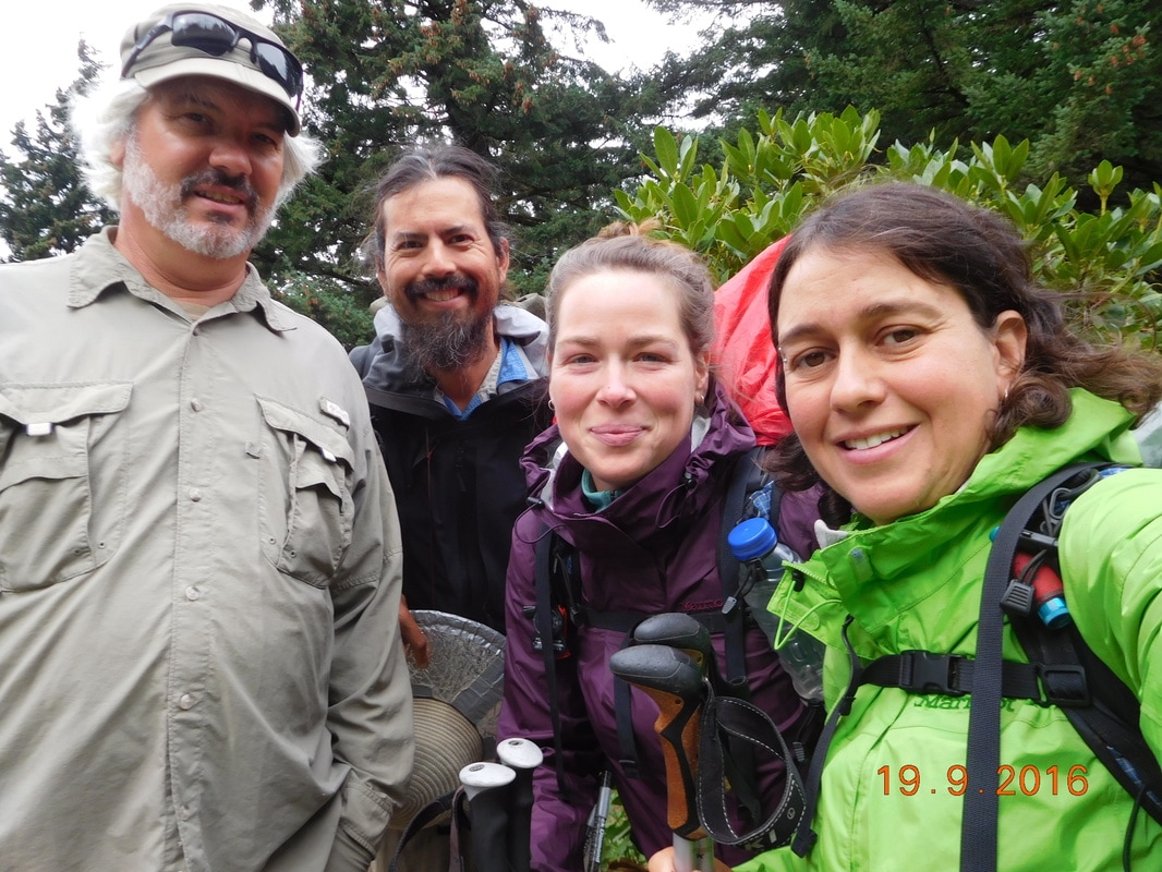
Just before lunch we caught up to two hikers. It wound up being Ballou and Rembrandt. I first met up with them at the Big Bear Brewing Company 1,900 miles ago Brad actually hiked with them down while I was recuperating from the rattlesnake bite. The actually skipped from Lake Tahoe to Ashland, so their thru-hike became a LASH (Long Ass Section Hike). It was nice catching up with them during lunch which we took right in the middle of the trail:
Lunch literally on the trail with Ballou and Rembrandt
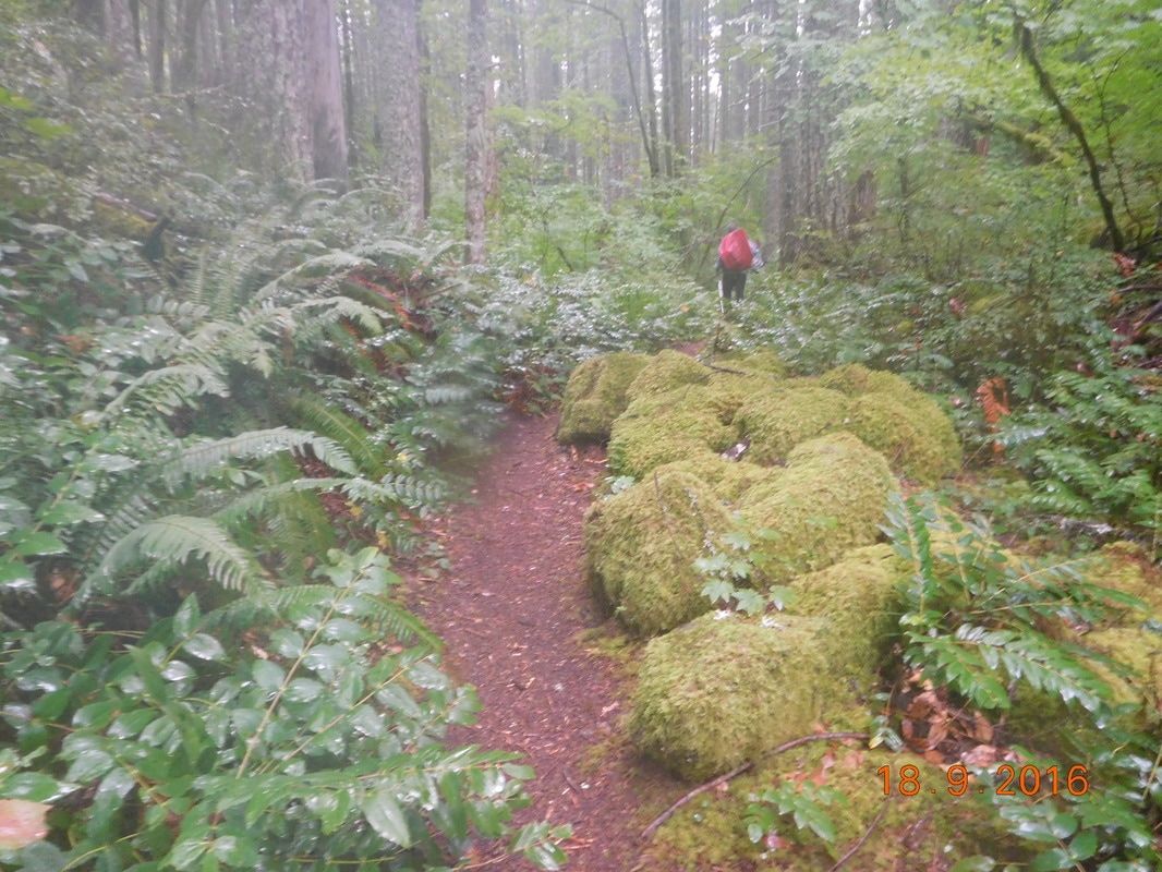
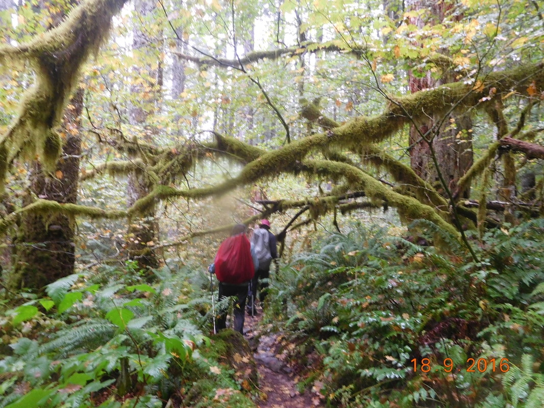
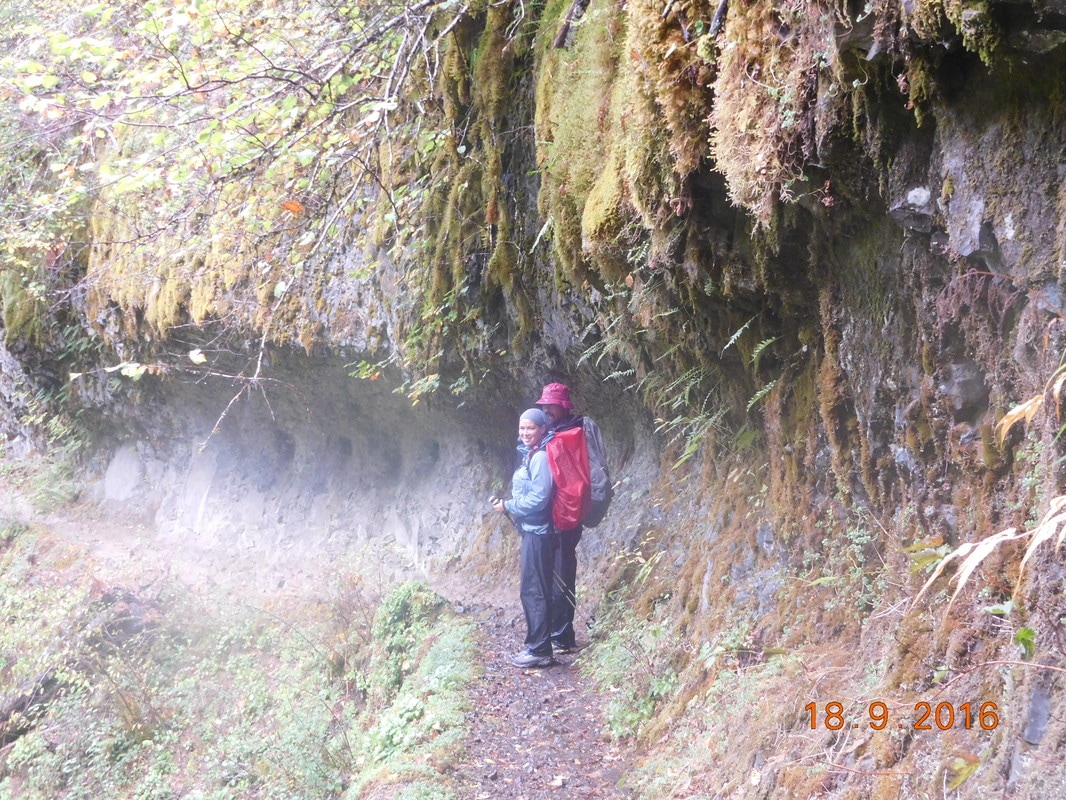
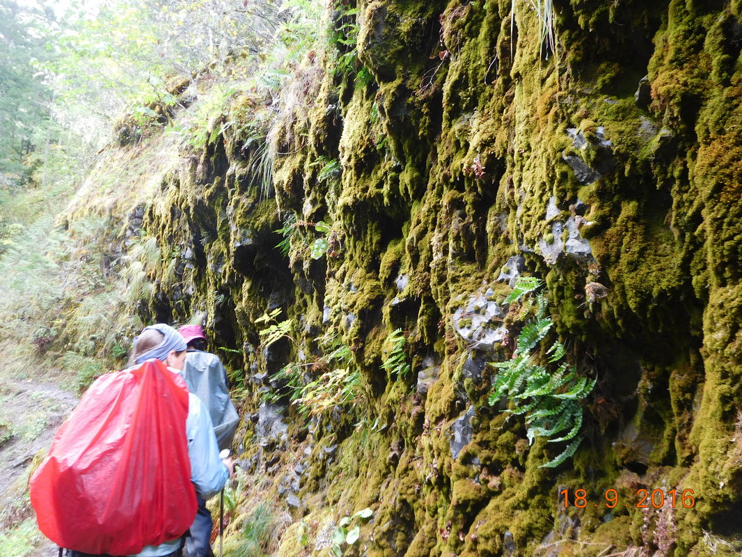
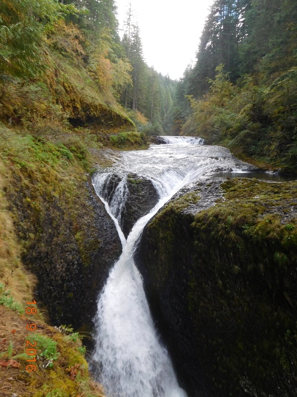
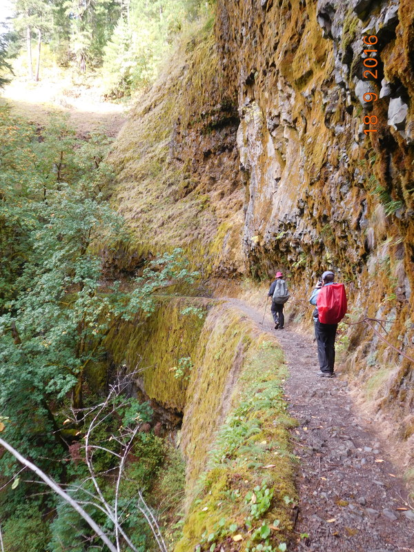
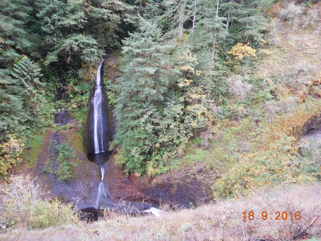
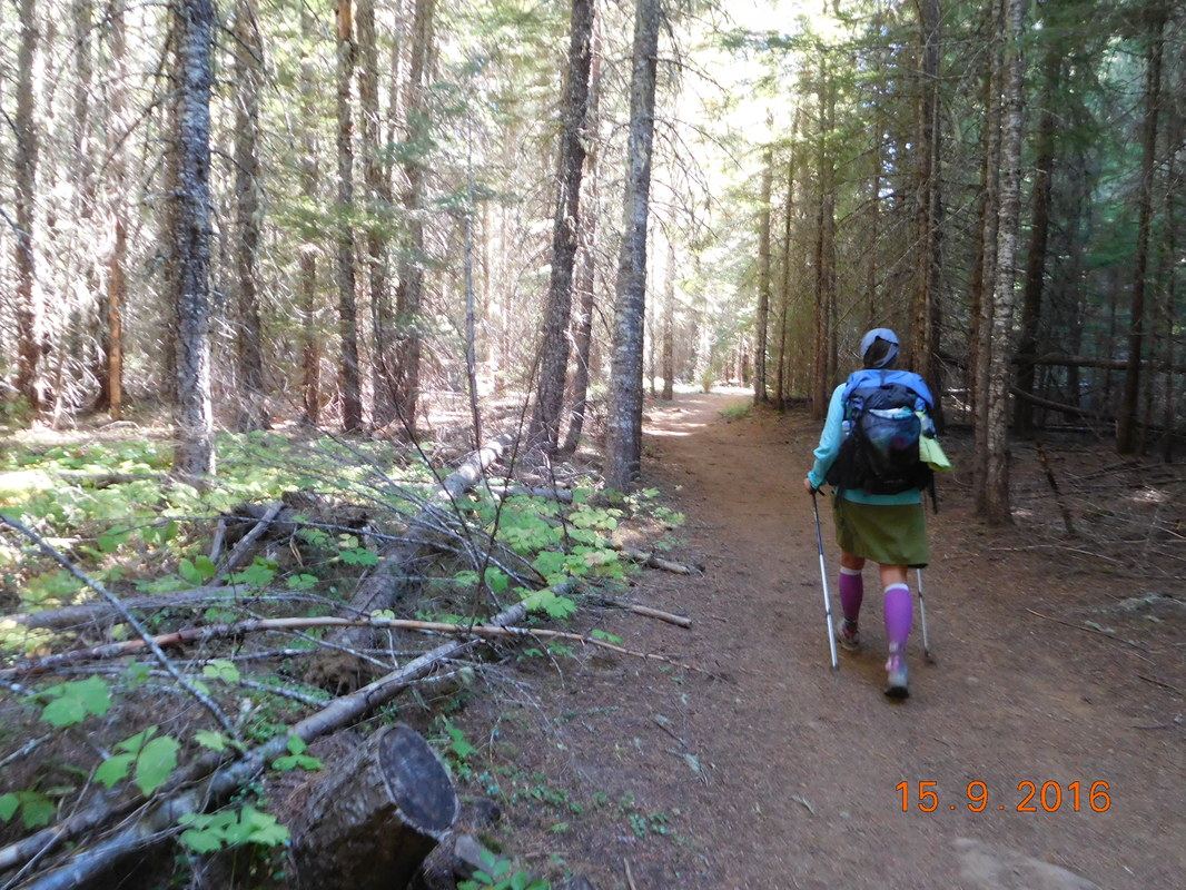
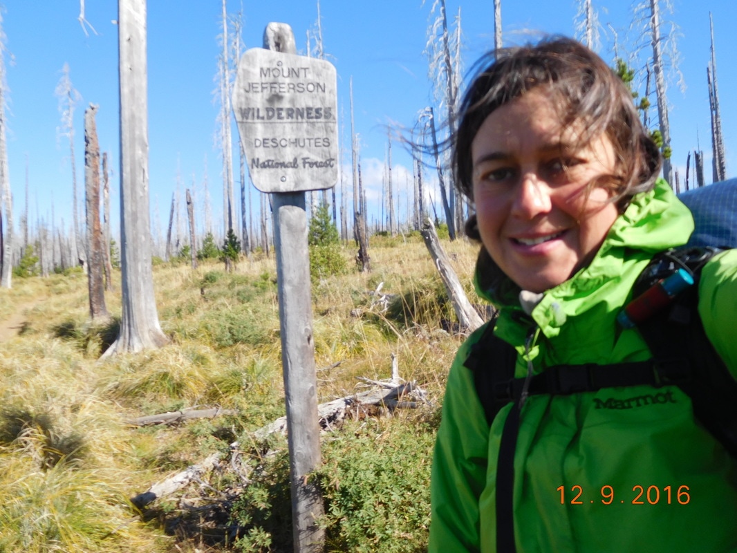
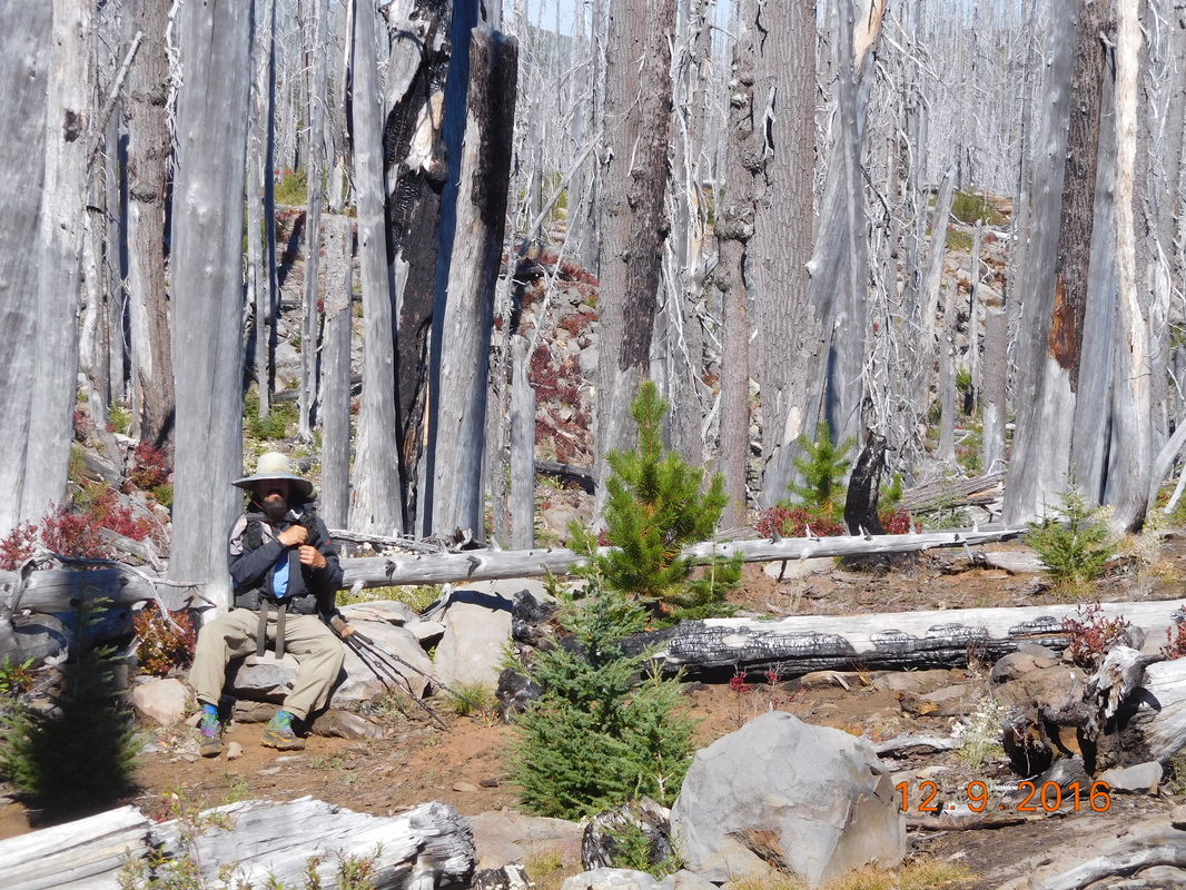
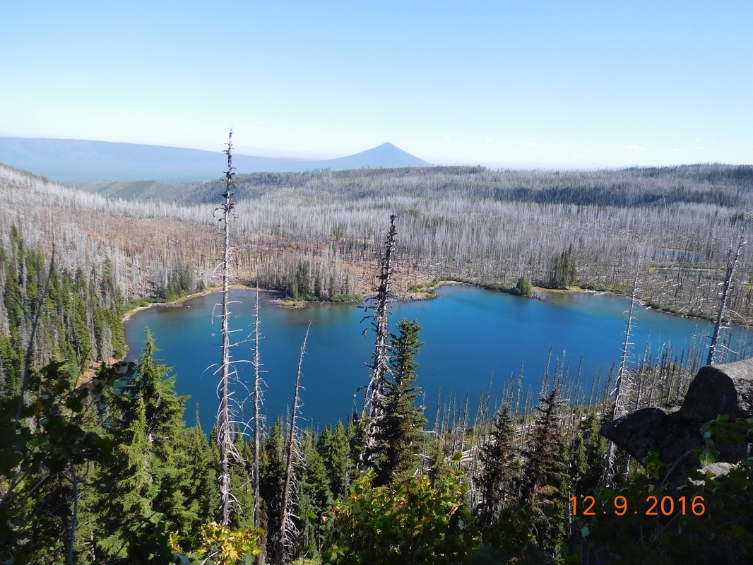
Except for the view in the morning, we spent the entire day under cover of the forest. It was green and lush and beautiful all day:
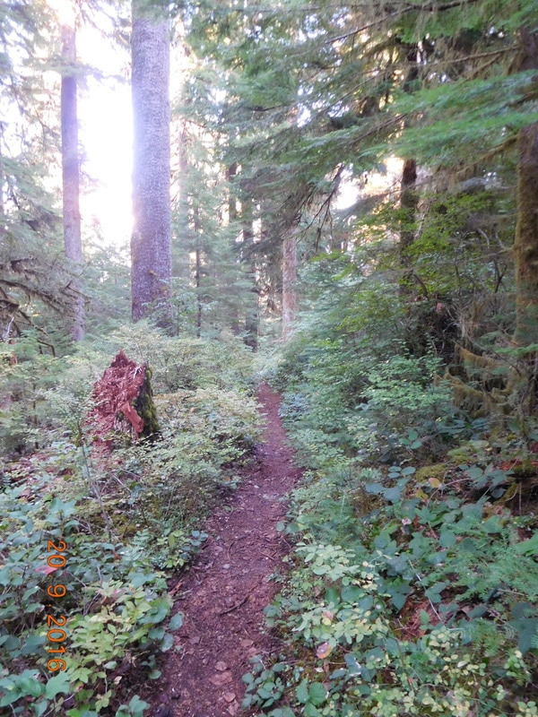
Beautiful Washington
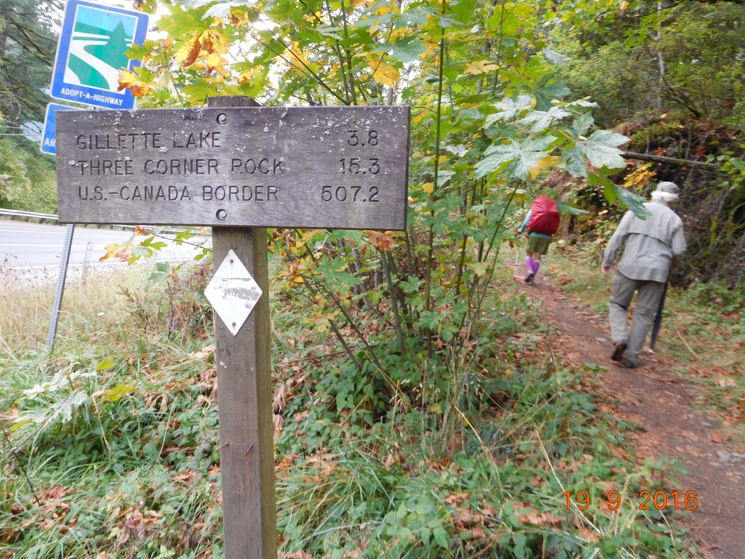
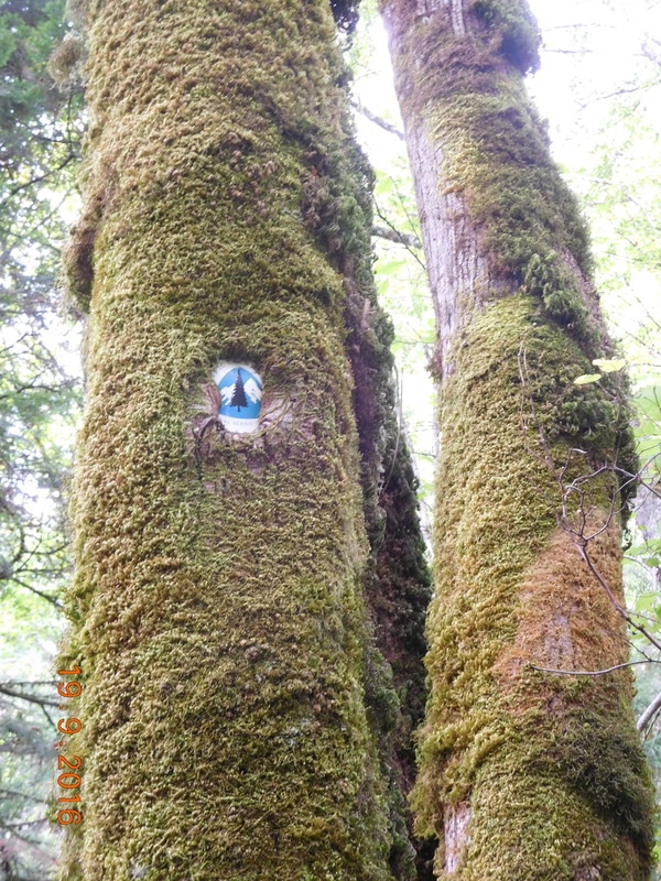
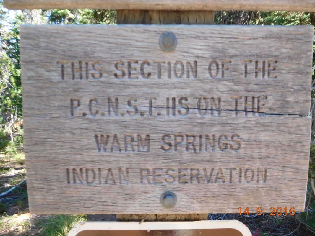
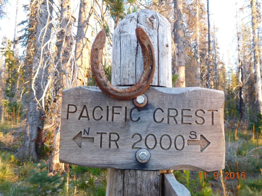
It was so lush that a PCT sign had moss growing over it:
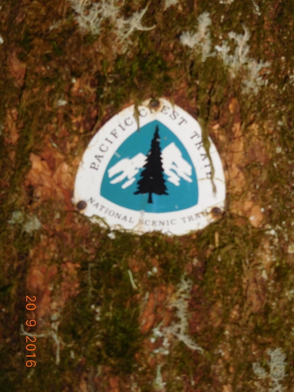
PCT sign of the day #1
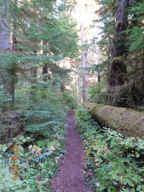
More lush Washington
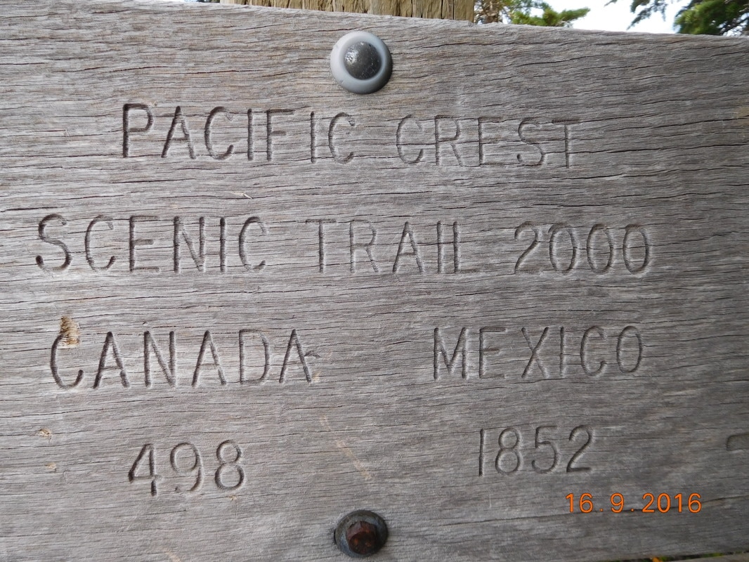
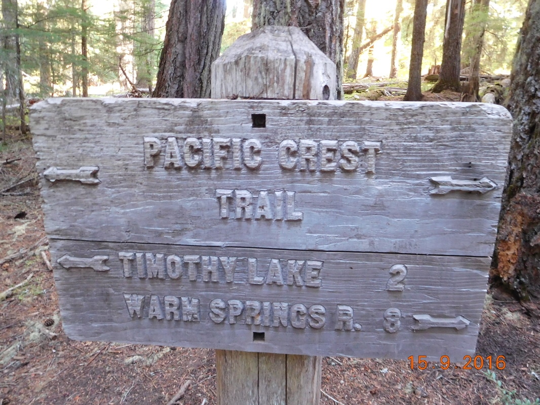
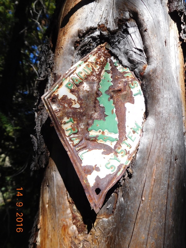
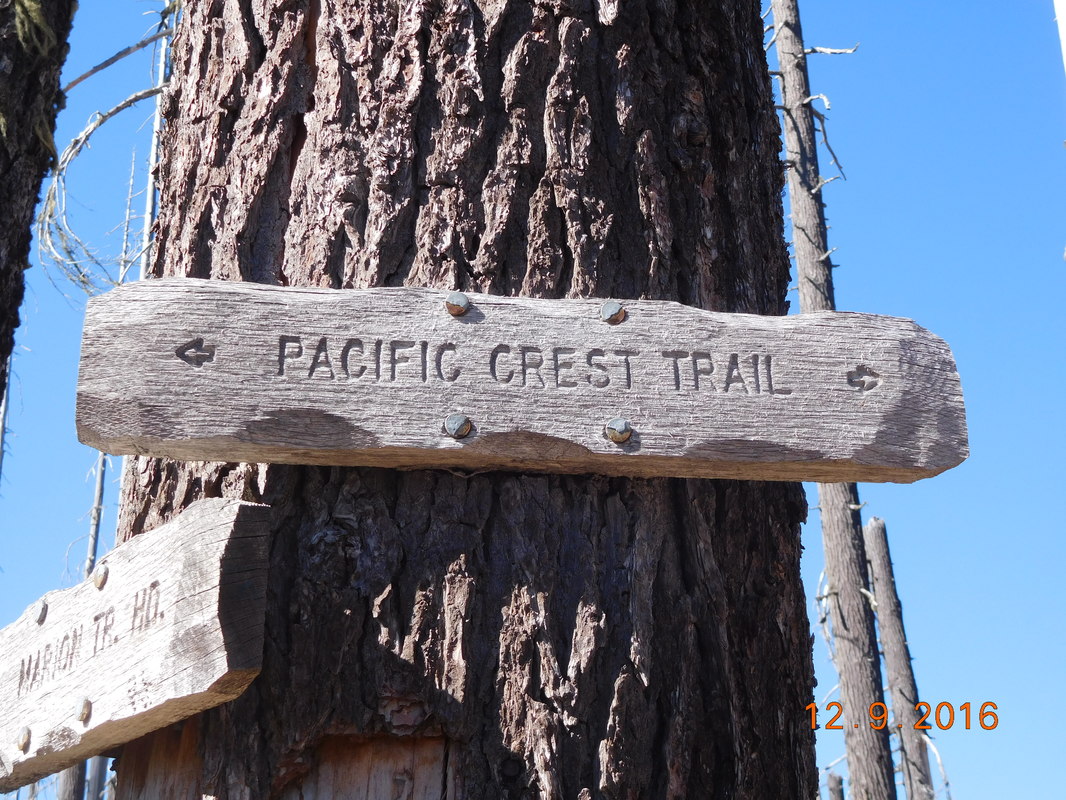
I love the wood and color of this PCT sign:
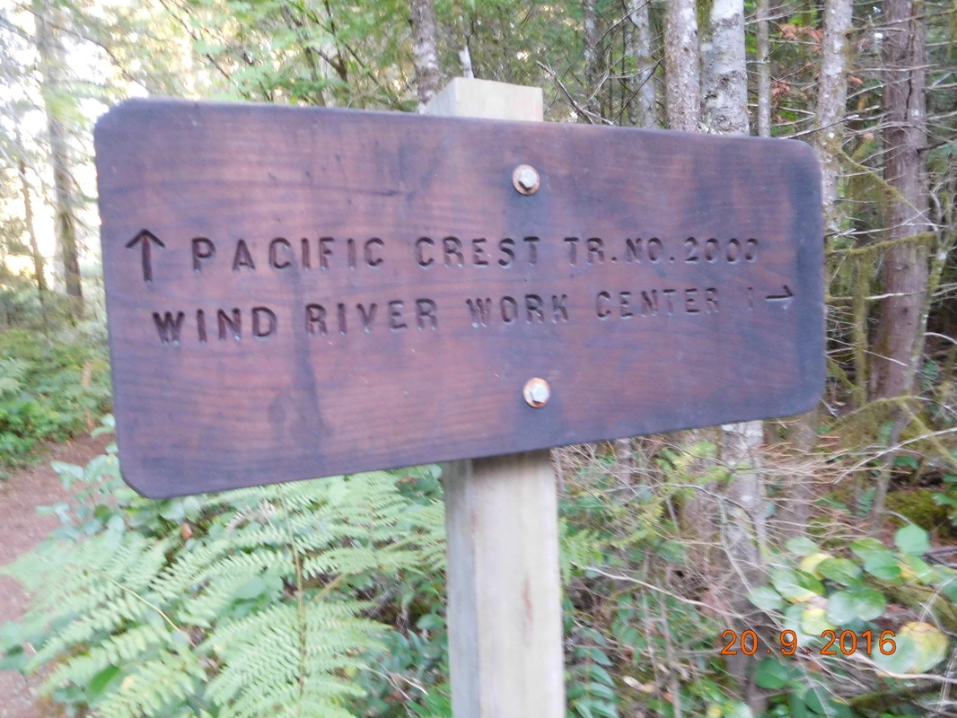
PCT sign of the day #2
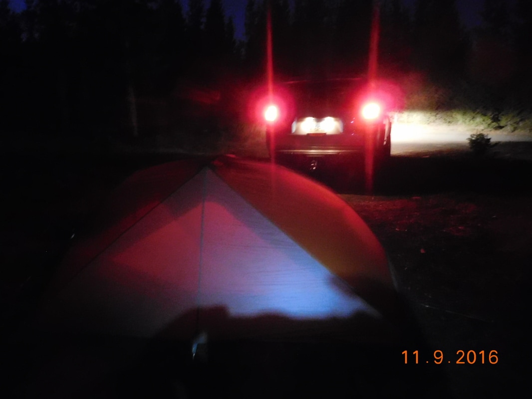
At 5:00 PM we still had over 6 miles to go. Share Bear and Brad was certain we would make it to our planned campsite before dark. I want too sure, but I went with it. When we were 2 miles out it was getting pretty dark. The last 30 minutes or so of the hike was pretty much in the dark. When we arrived at Panther Creek Road, Tim was there waiting for us. He brought us pizza and beer for dinner...so cool.
Since will have the opportunity for a slack pack tomorrow for the first 16 miles, Tim will be back in the morning. I guess I might as well go home with him then. So, that is where I am right now typing this blog...in an Airbnb in Stevenson, Washington while Brad and Share Bear are camped out on the PCT. We will be back there at 7:15 AM, so I better get to sleep now...until tomorrow...
Since will have the opportunity for a slack pack tomorrow for the first 16 miles, Tim will be back in the morning. I guess I might as well go home with him then. So, that is where I am right now typing this blog...in an Airbnb in Stevenson, Washington while Brad and Share Bear are camped out on the PCT. We will be back there at 7:15 AM, so I better get to sleep now...until tomorrow...
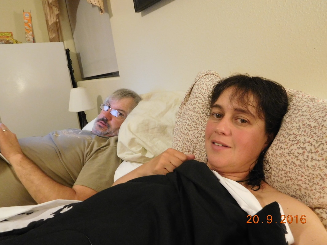
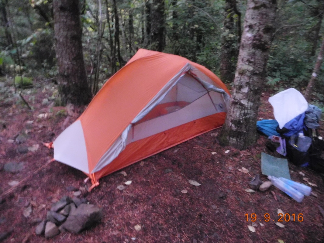
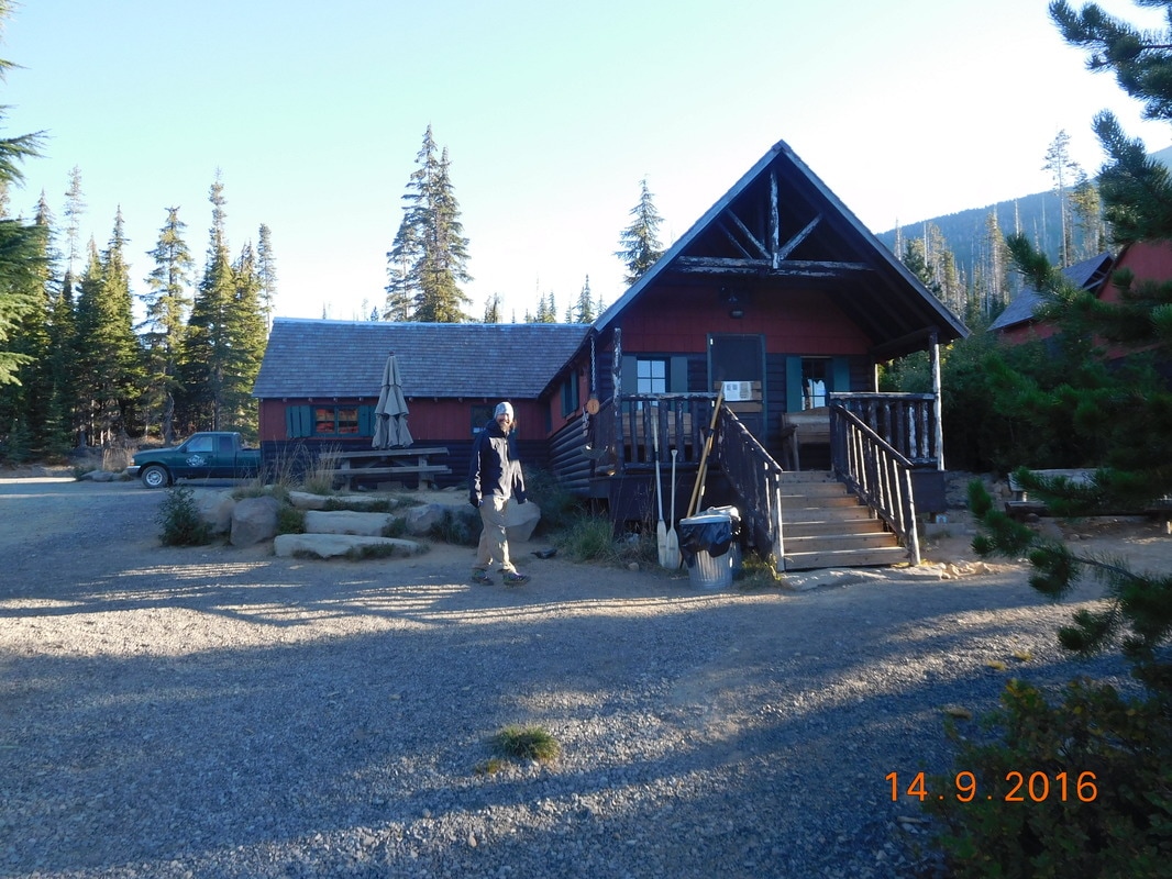
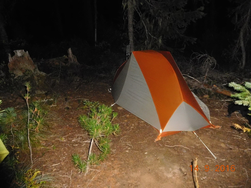
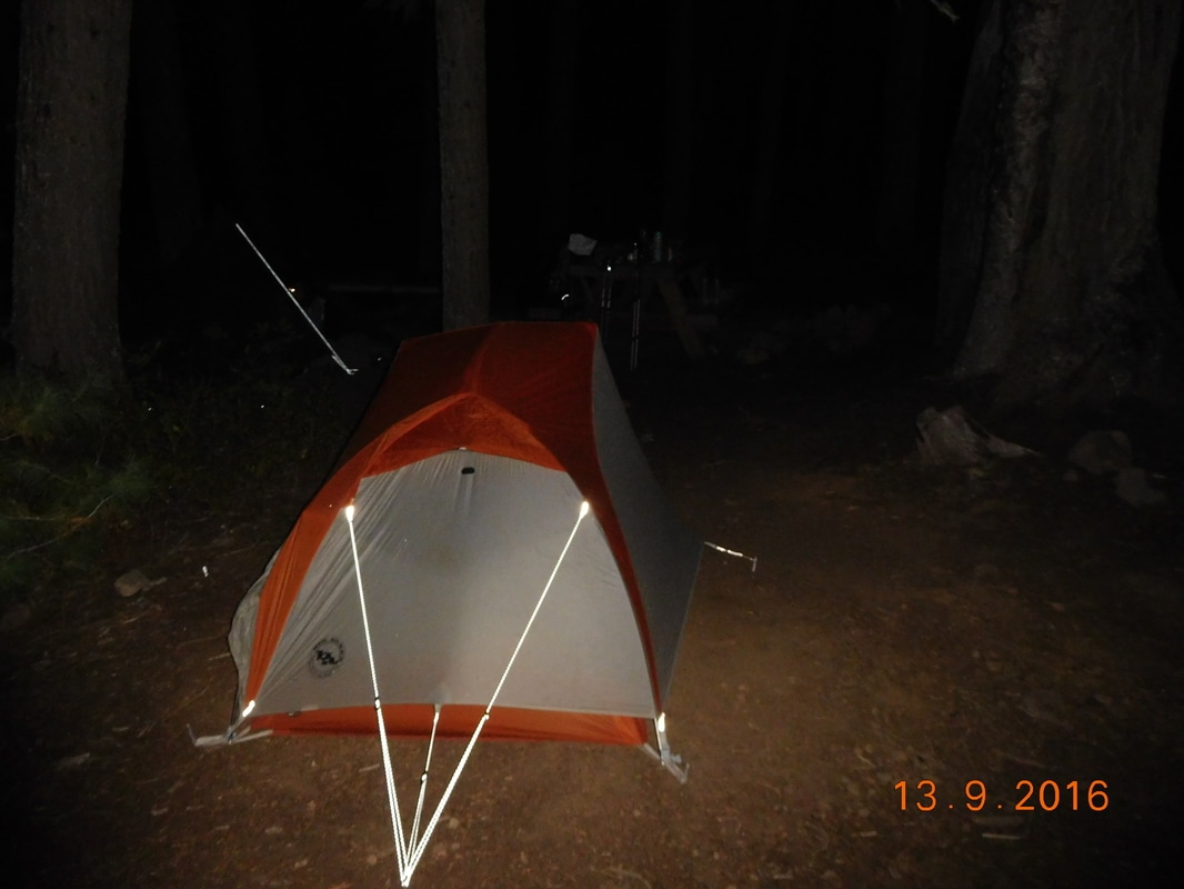
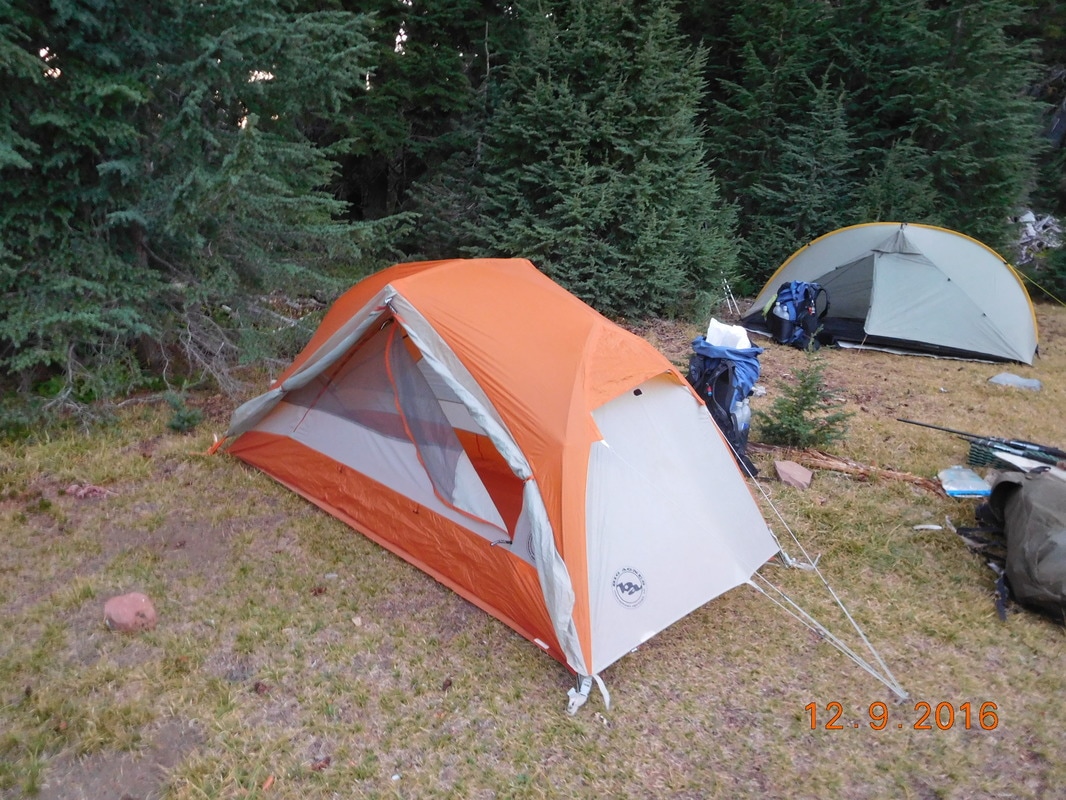
My home for the night
 RSS Feed
