Tim & Gerri's Wild Ride
Email & Facebook Gerri:
  • Home
  • Worldwide Travel
    • A Bit of Asia 2025 >
      • A Bit of Asia 2025 Blog Summary
    • Everest 2025 >
      • 2025 Everest Packing List
      • Everest Blog Summary
    • 2024 Europe Tour >
      • 2024 Europe Tour Packing List
      • Europe 2024 Blog Summary
    • Asia 2023 >
      • Asia 2022 Packing List
      • Asia 2023 Blog Summary
    • Eastern Europe 2022 >
      • Eastern Europe 2022 Blog Summary
      • Eastern Europe 2022 Packing List
    • Narrowboat Holiday 2022 >
      • Narrowboat 2022 Blog
      • Narrowboat 2022 Packing List
    • Ireland & UK 2019 >
      • Ireland & UK Itineray
      • Ireland & UK Blog Summary
      • Ireland & UK Packing List
    • France 2018 >
      • France Itinerary
      • Blog Summary
    • European Tour 2017 >
      • European Vacation Blog
      • Blog Summary
    • Southeast Asia 2014-15 >
      • Southeast Asia Blog
      • Packing List
      • Blog Summary
    • Afghanistan 2011-12
  • United States Travel
    • Great Lakes Sail 2020 >
      • Great Lakes Sail 2020 Blog
      • Blog Summary
    • Trans-America Bicycle Ride >
      • Blog Summary
      • Our Team
      • Equipment
      • Breweries Along Route
    • Pacific Crest Trail >
      • Pacific Crest Trail 2016 >
        • What is the PCT? - 2016
        • Why Hike the PCT? - 2016
        • Gear - 2016
        • Itinerary - 2016
        • PCT Blog Summary - 2016
        • Where are we now? - 2016
      • Pacific Crest Trail 2014 >
        • What is the PCT?
        • Why Hike the PCT?
        • Gear
        • Food
        • Itinerary
        • Blog Summary
        • Where are we now?
    • Motorcycle Ride 2014 >
      • Motorcycle Blog
  • Brewery Visits
    • 2025 Breweries
    • 2024 Breweries
    • 2023 Breweries
    • 2022 Breweries
    • 2021 Breweries
    • 2020 Breweries
    • 2019 Breweries
    • 2018 Breweries
    • 2017 Breweries
    • 2016 Breweries
    • 2015 Breweries
    • 2014 Breweries
    • 2013 Breweries
    • 2012 Breweries
    • 2011 Breweries
    • 2010 Breweries
    • 2009 Breweries
    • 2008 Breweries
    • 2007 Breweries
    • 2006 Breweries
    • 2005 Breweries
    • 2004 Breweries
    • 2003 Breweries
    • 2002 Breweries

Day 184 (20 October) - Mile ??? - ???

10/20/2016

2 Comments


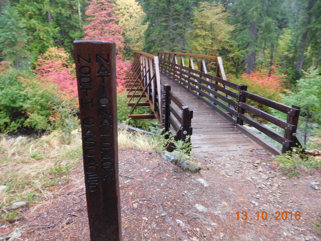
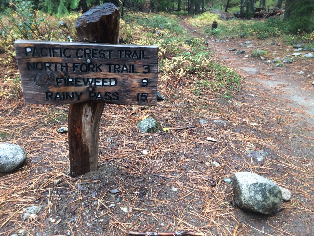
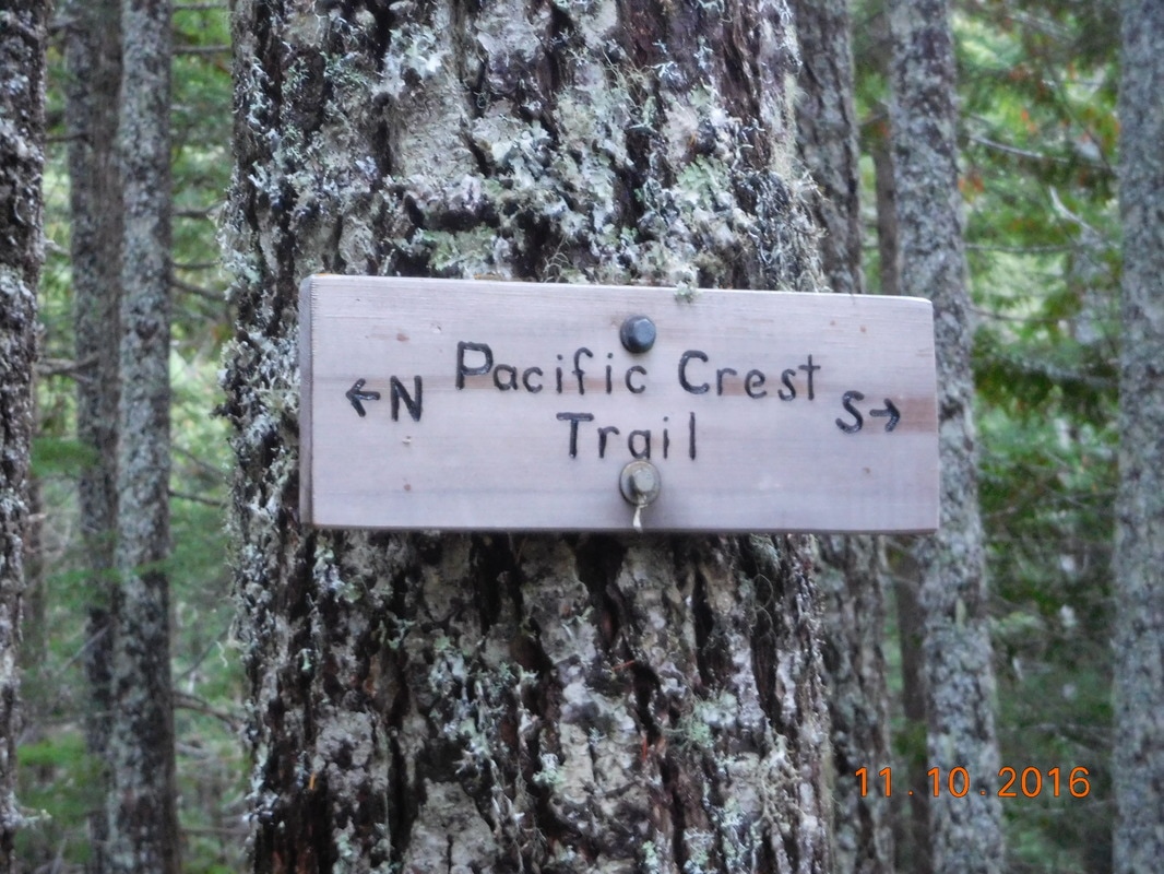
Deer Lick Camp to CANADA!!!

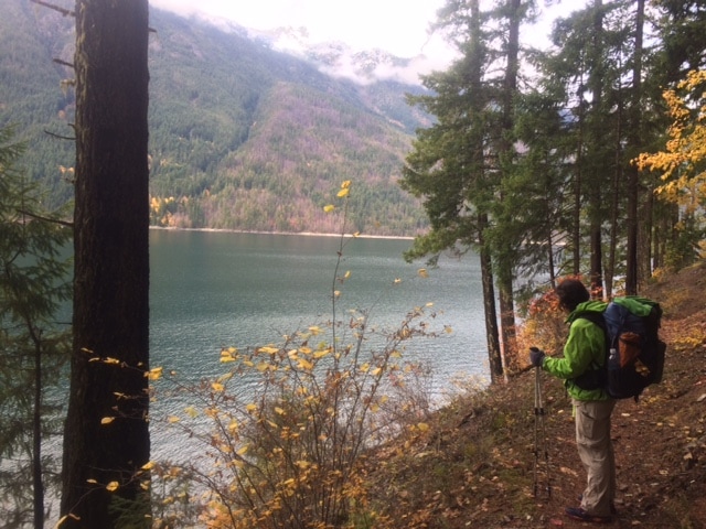
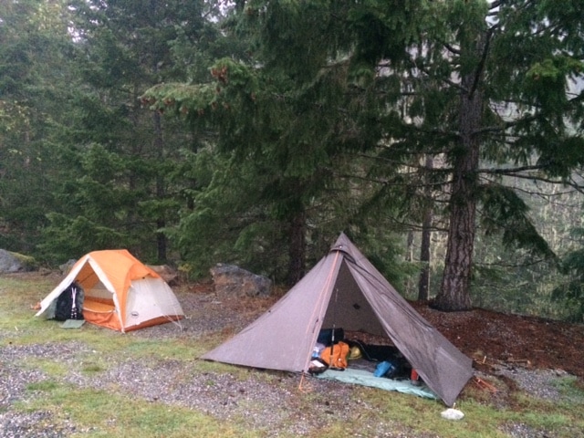
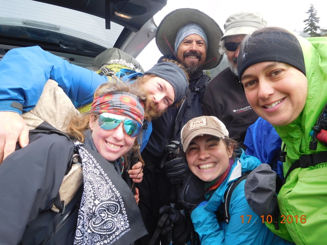
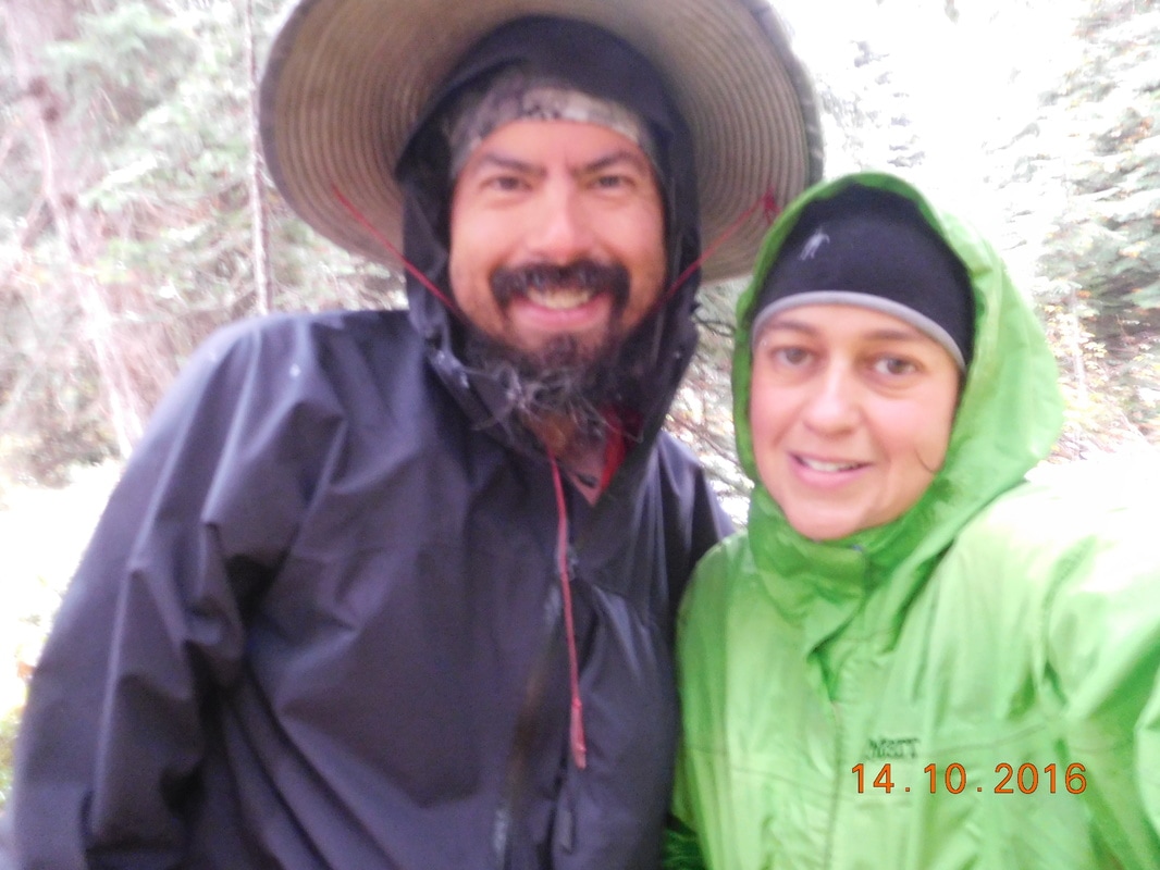
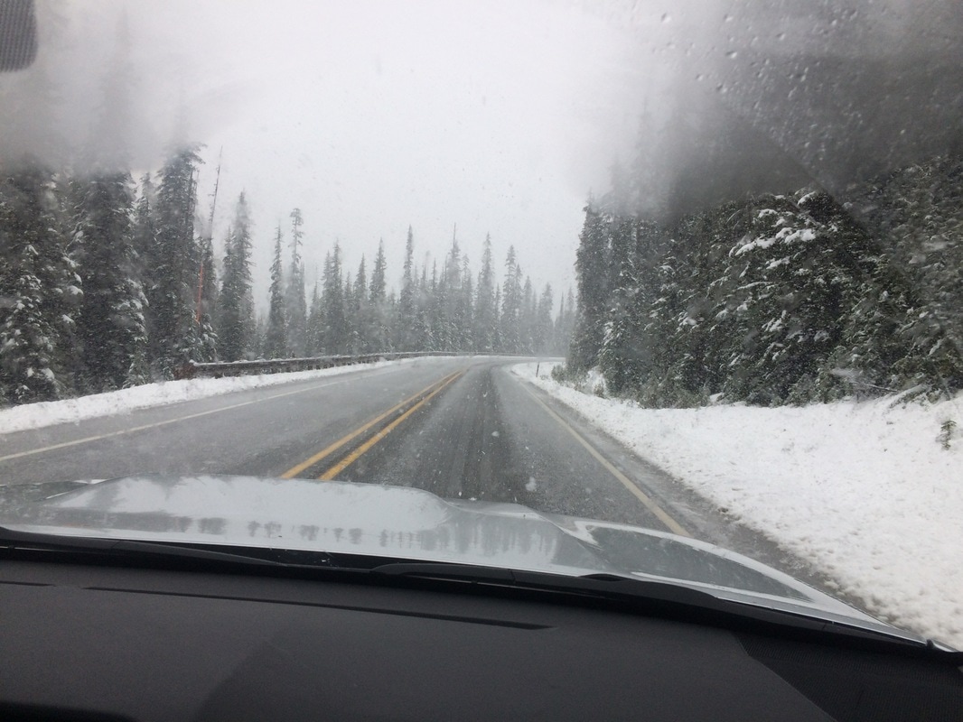
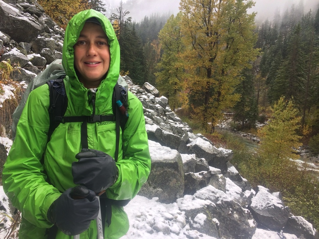
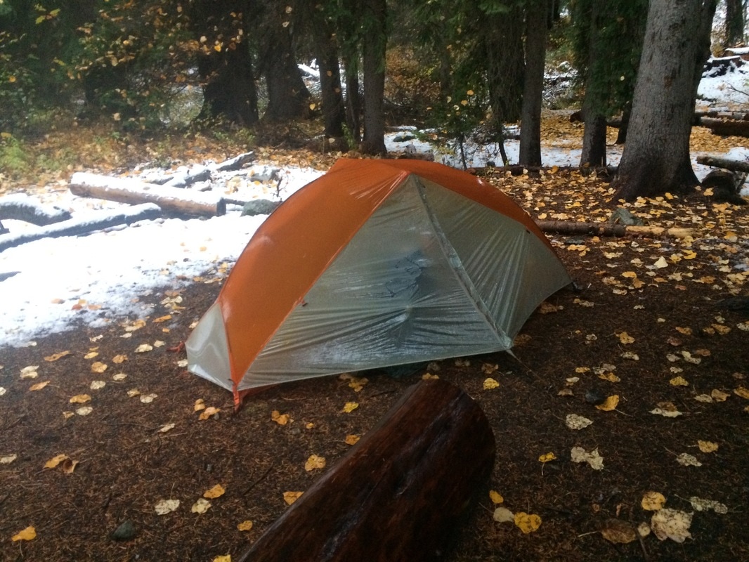
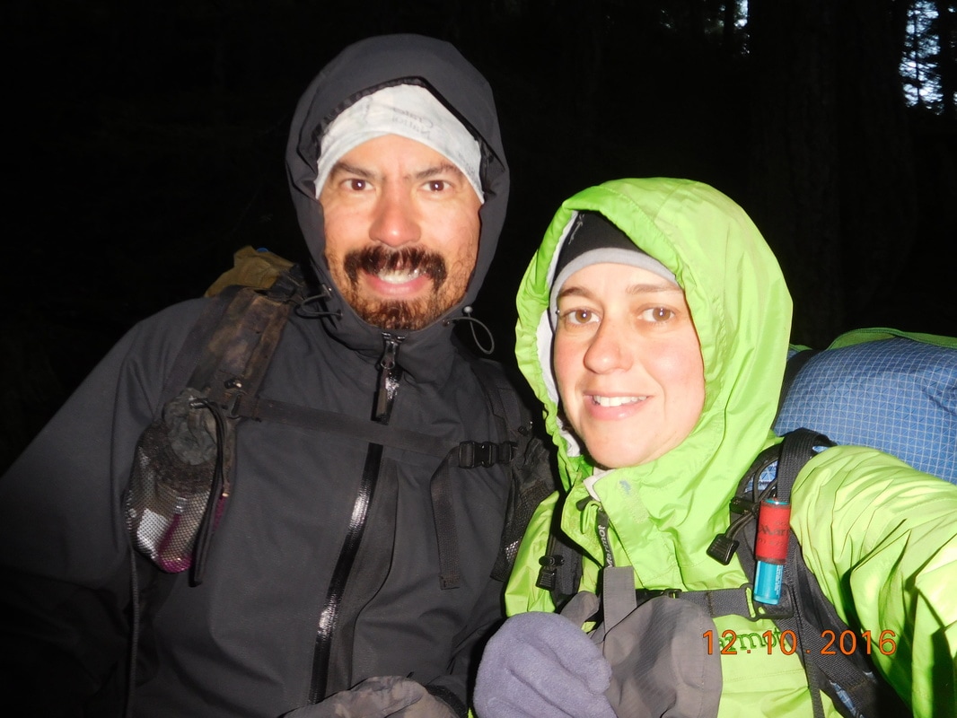
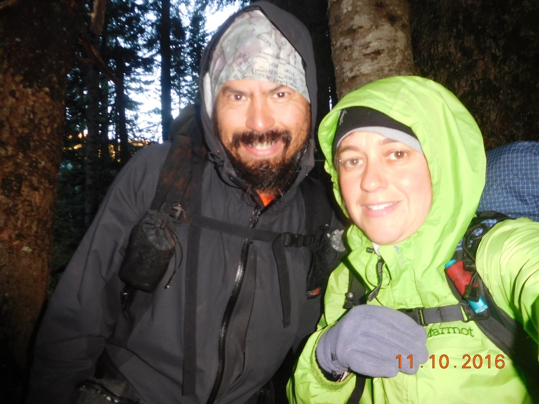
We slept in some knowing that we only had 13 or so miles to go and it was better to wait for the rain to stop before packing up.  When Brad and I were ready to hike Sunshine and Sherlock were still not ready so we told them that we would see them in Canada!
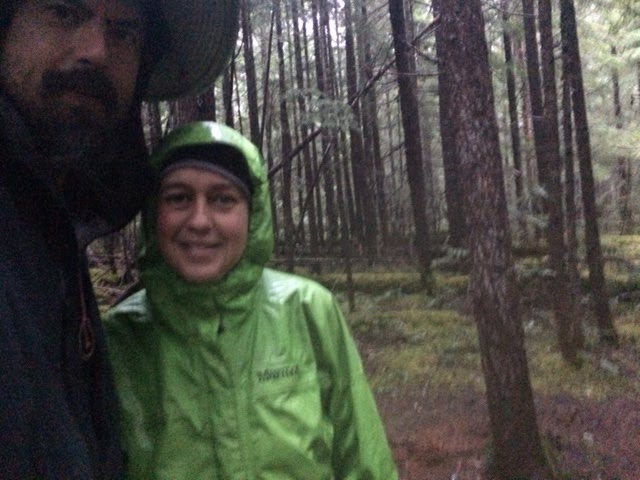
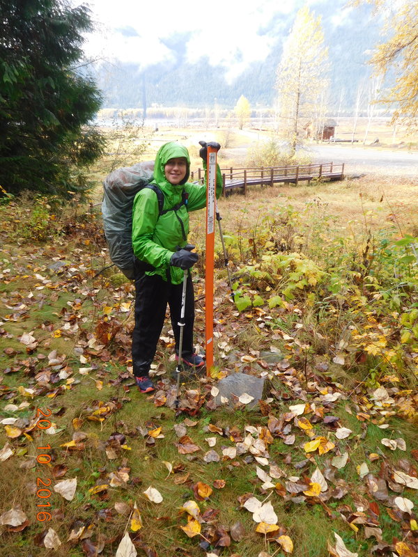
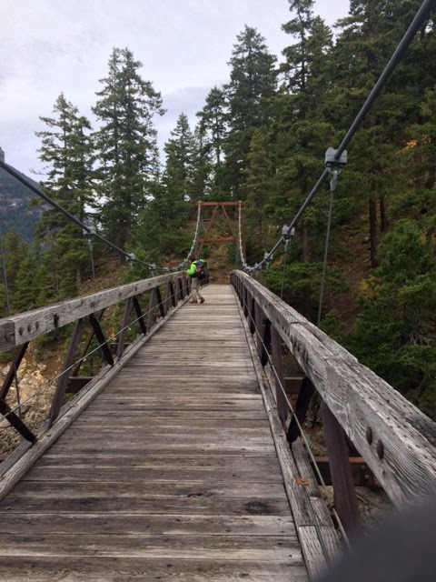
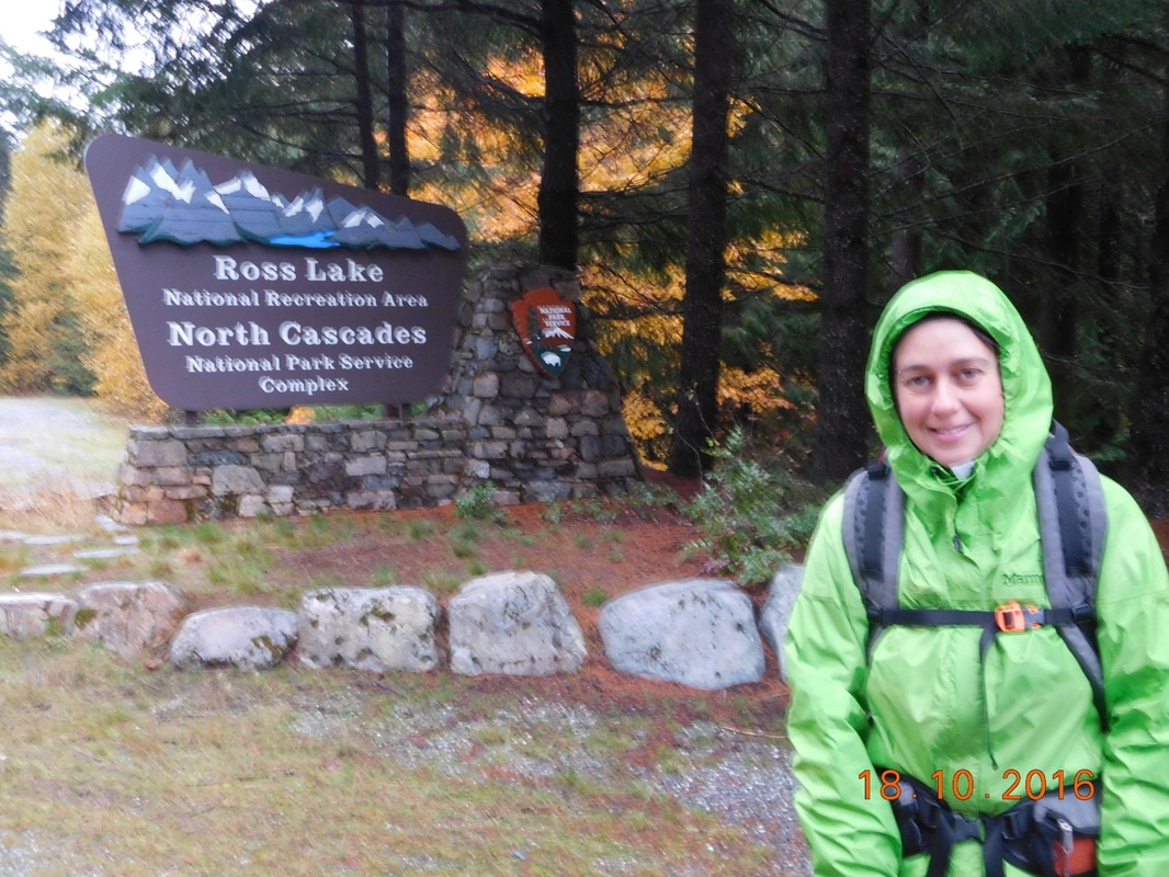
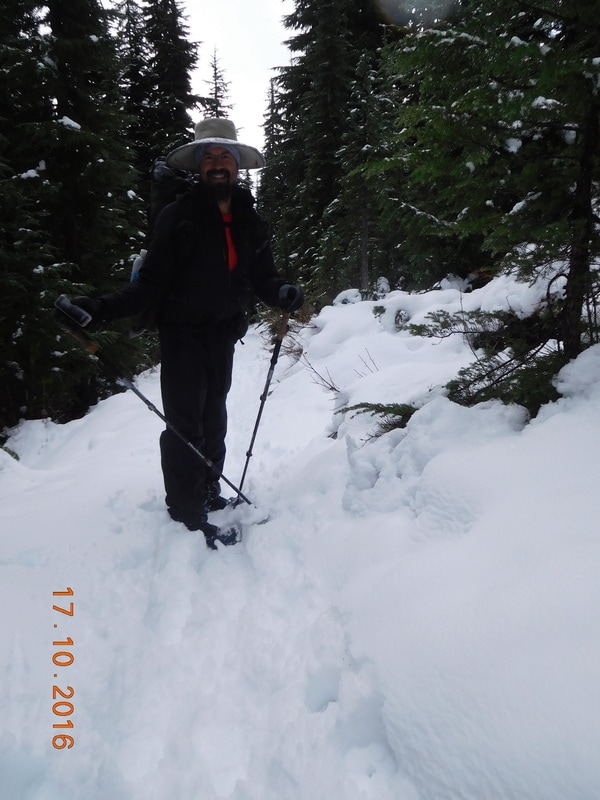
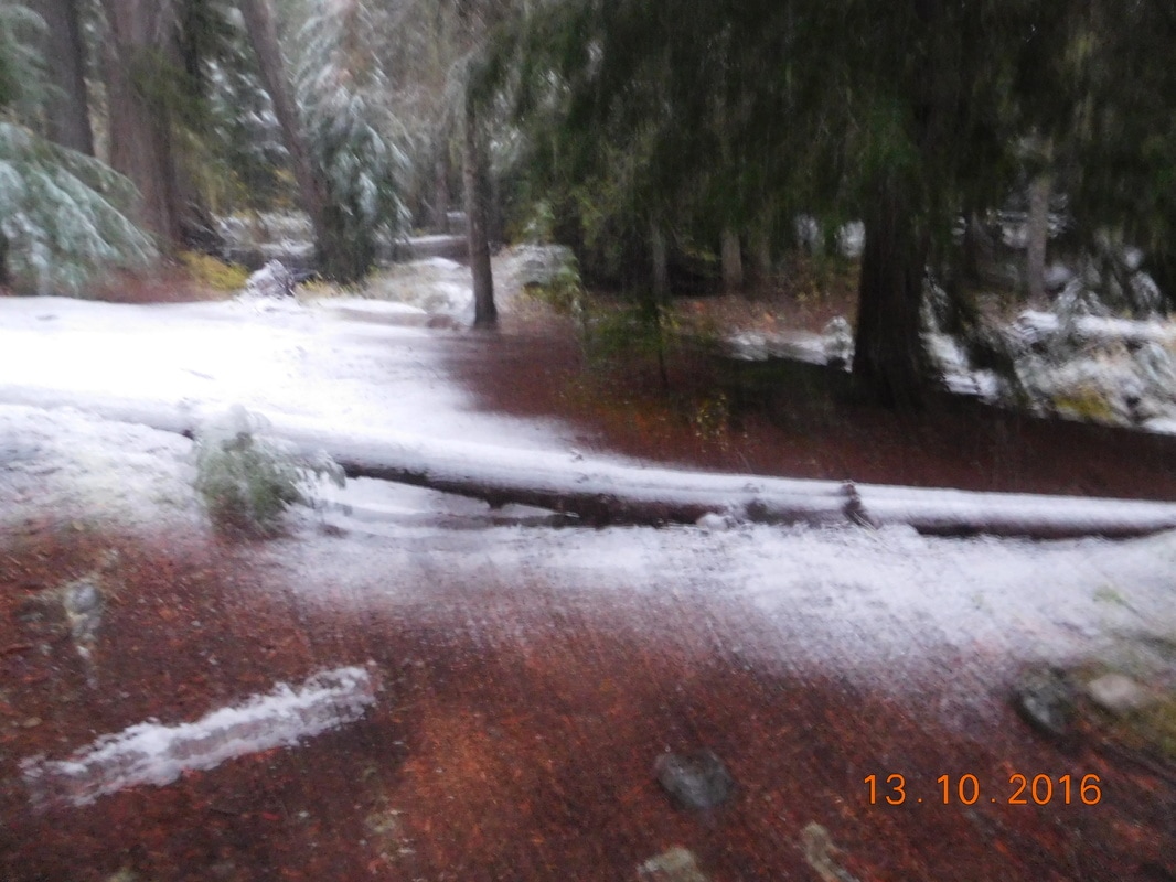
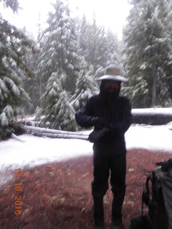
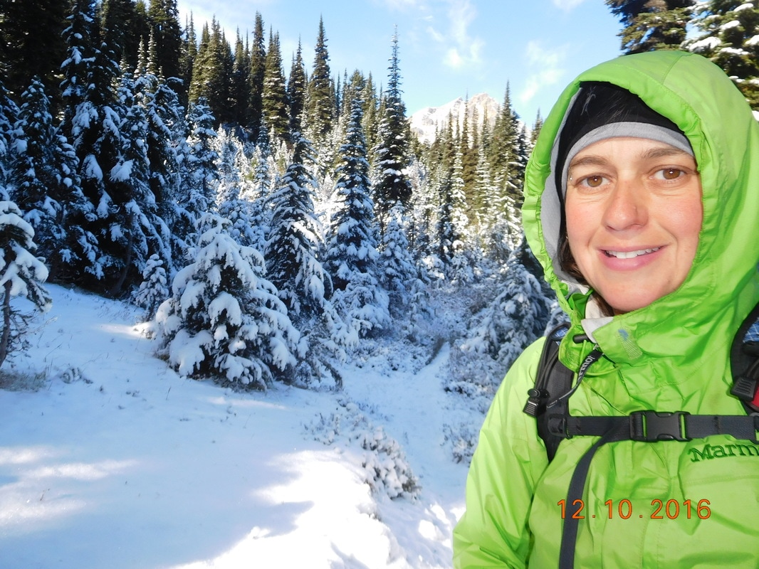
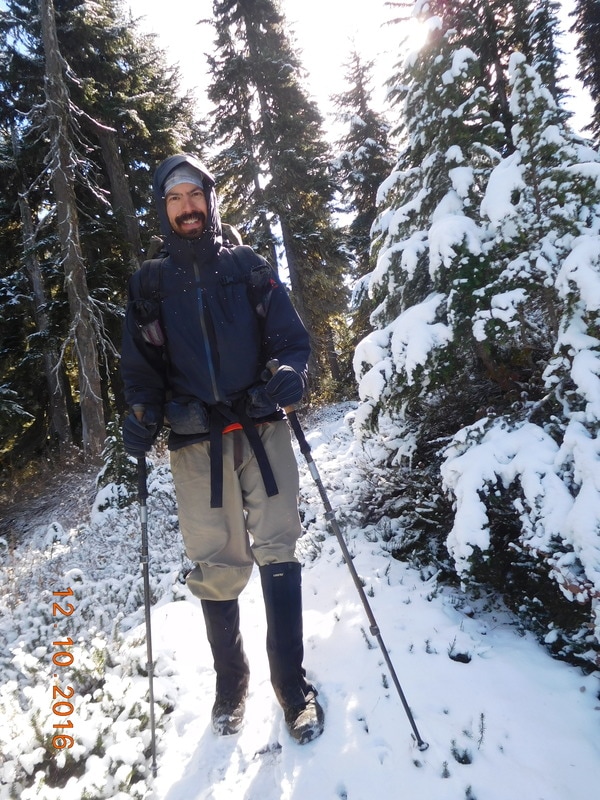
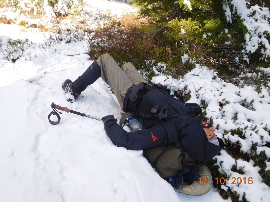
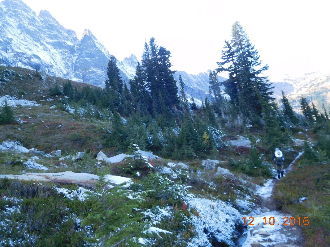
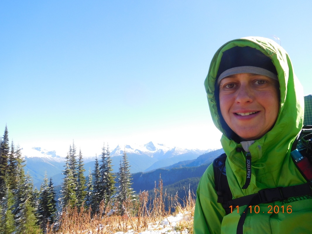
Picture
Ready to hike
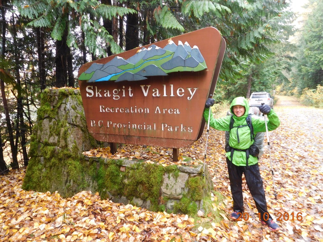
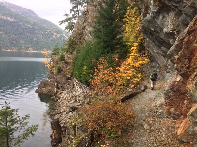
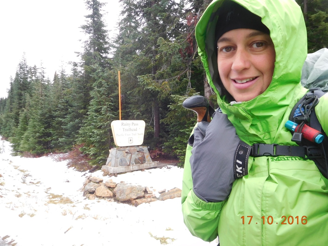
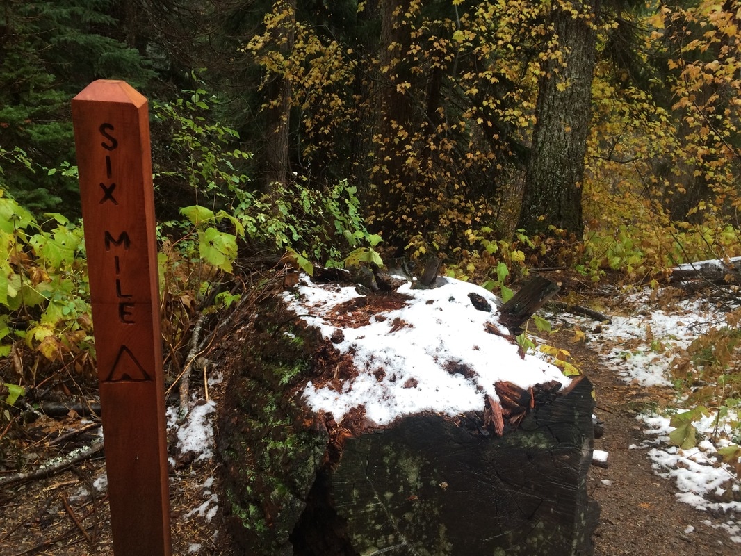
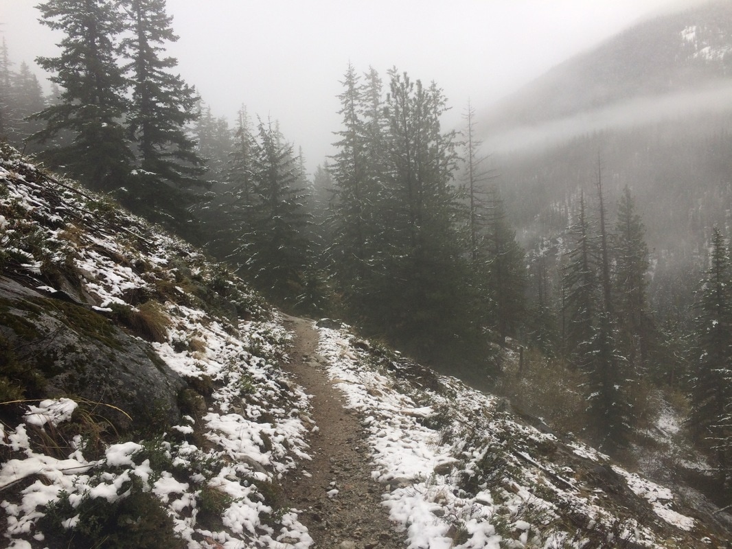
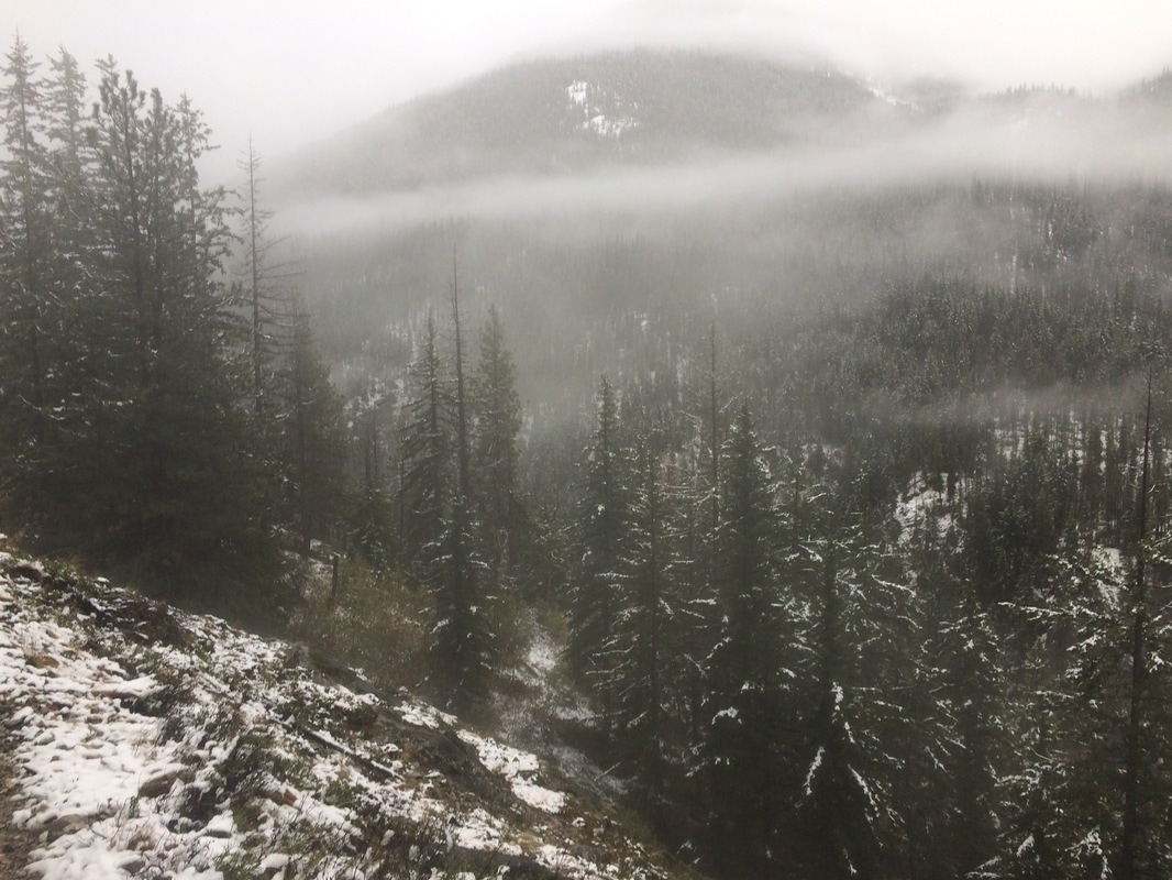
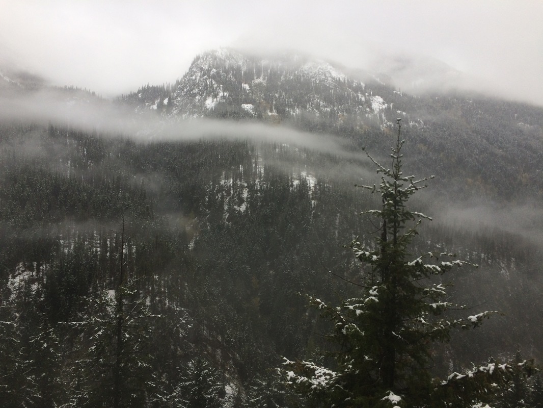
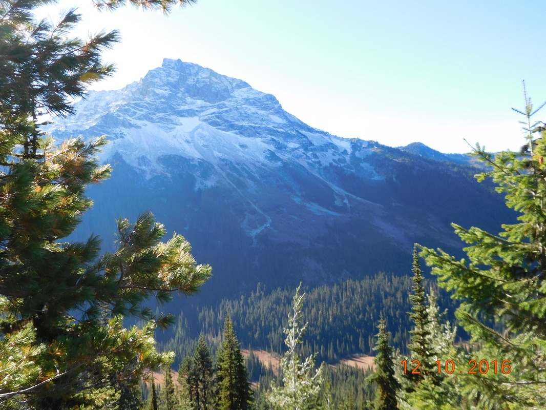
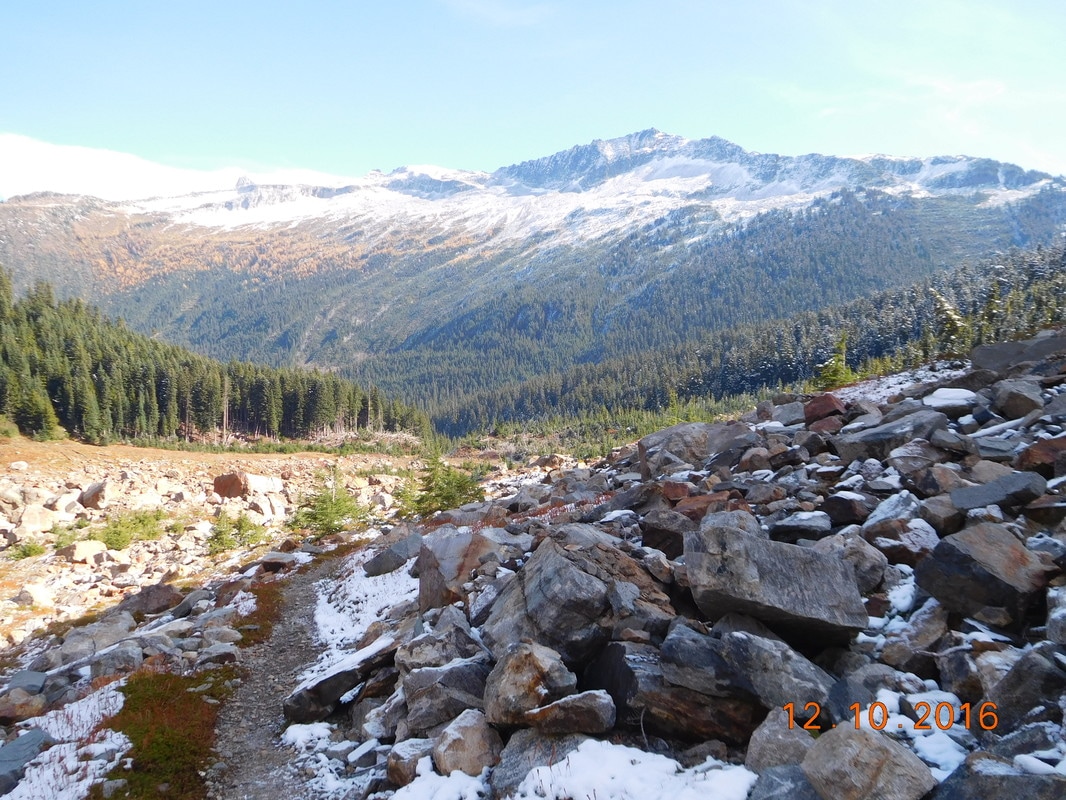
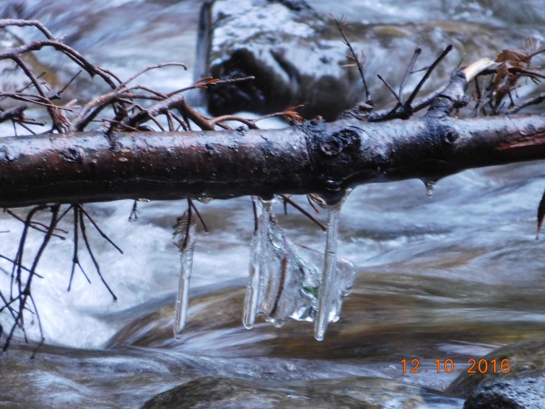
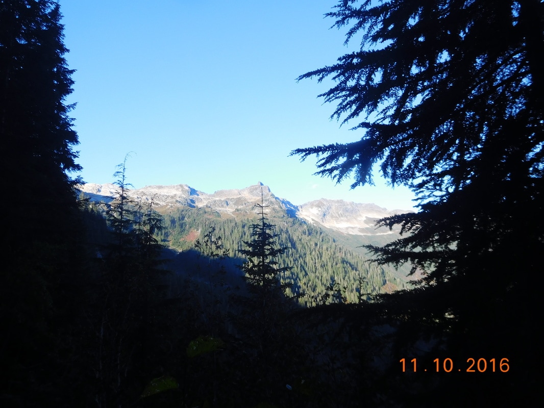
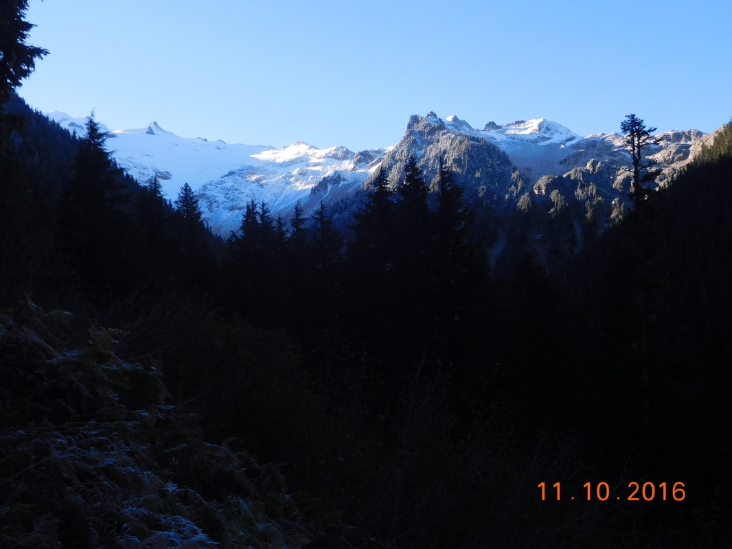
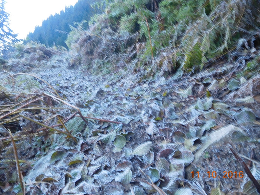
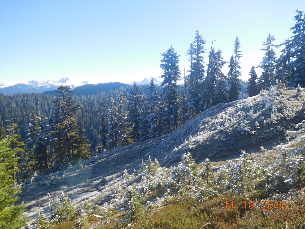
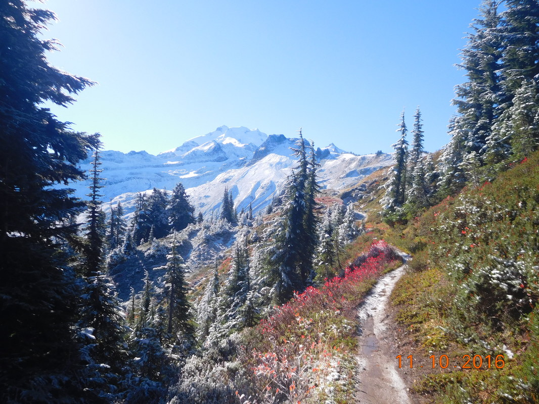
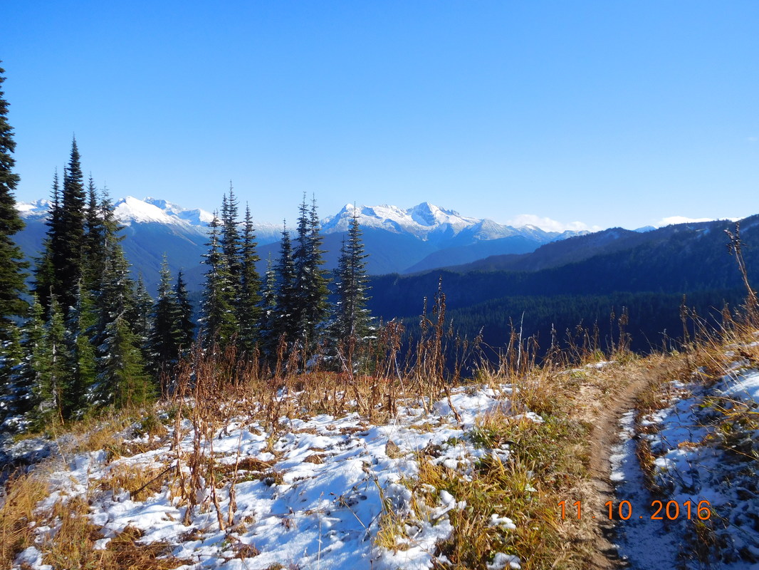
The 13 miles we pretty nice.  There were a couple of climbs but nothing too bad.  Also, the rain seemed to hold up for the most part.  None of this mattered anyway since this was the last 13 miles to Canada so we definitely had our eye on the prize today.

We made it to the end of the trail and found the other hikers that took this route as well.  Most of them stayed behind relaxing, but Aviator and Kodachrome decided to join us for the last 1.5 miles to the Canadian border.

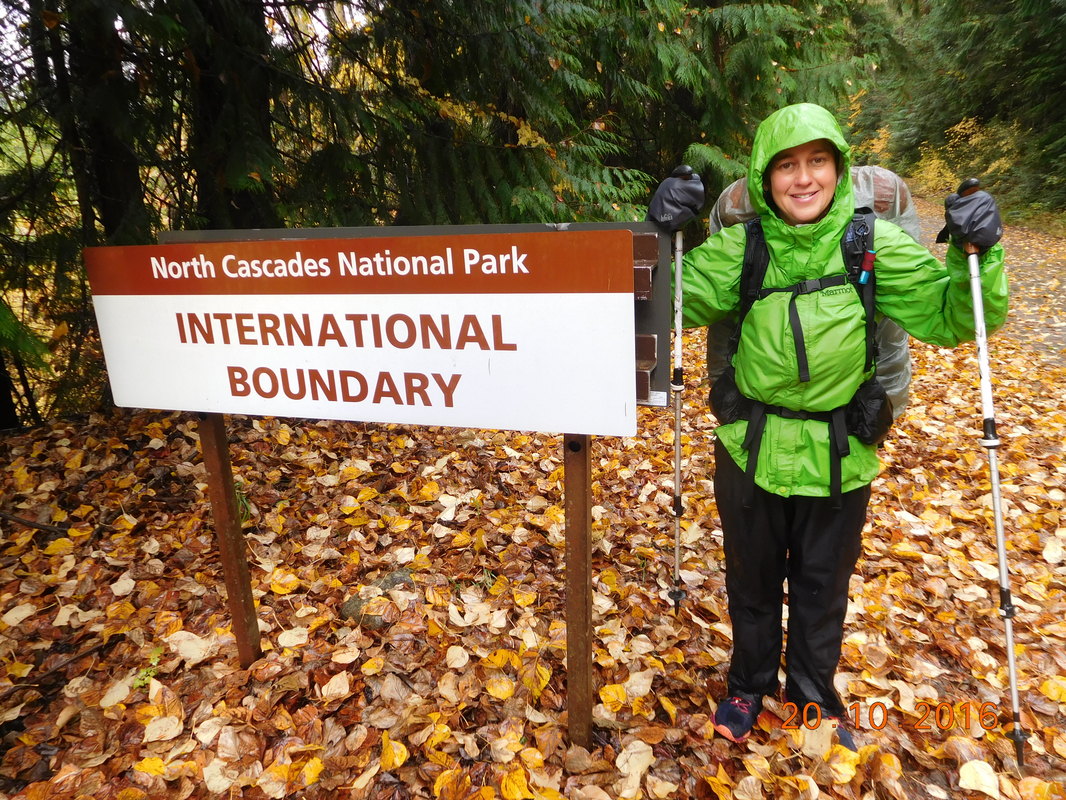
And there it was!  The end of our 6+ month, 184 day journey from the Mexican border to the Canadian border.  There wasn't the monument like on the official PCT, but we had a few different signs indicating the border.
Picture
Made it to the border!
Picture
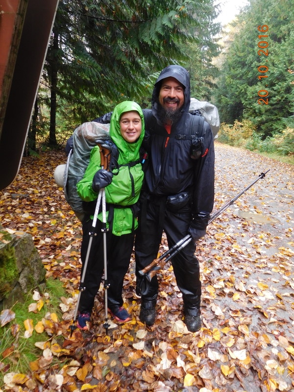
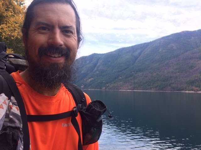
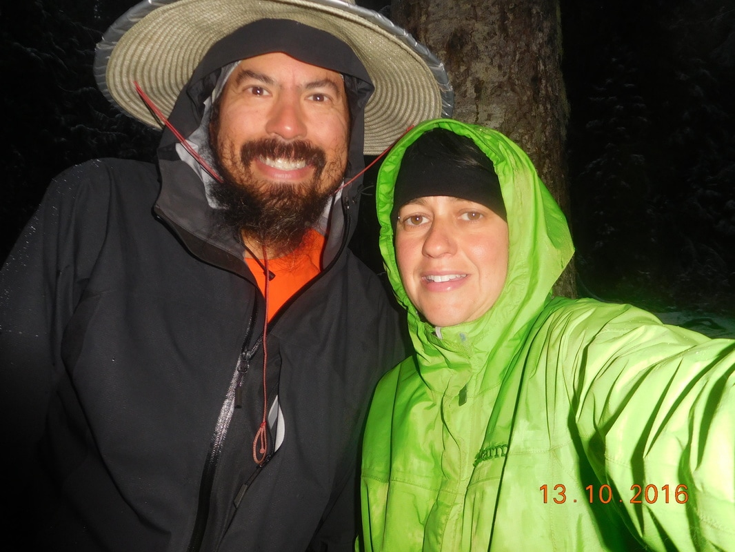
Brad & I are so happy!
Picture
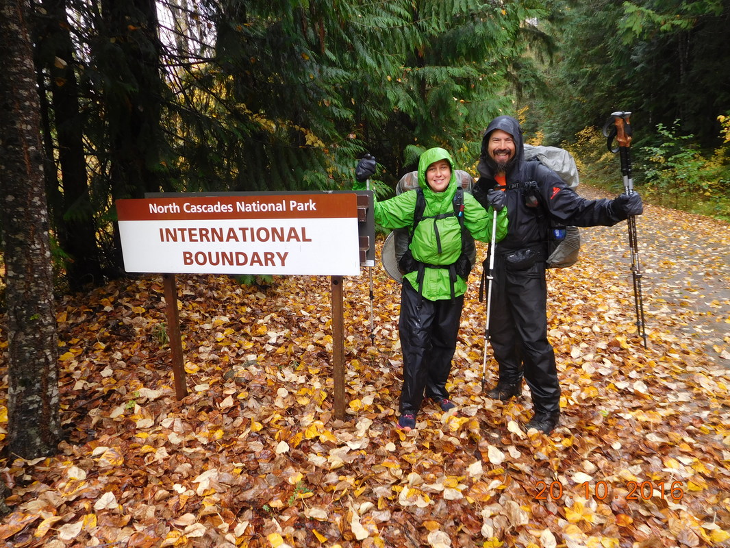
Cool "International Boundary" sign
Picture
The actual border
Picture
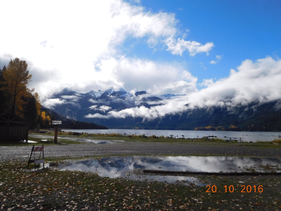
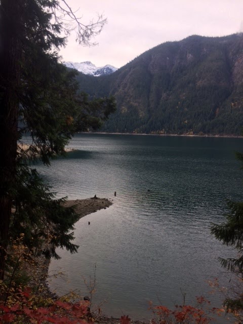
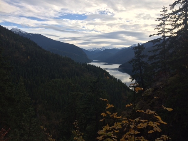
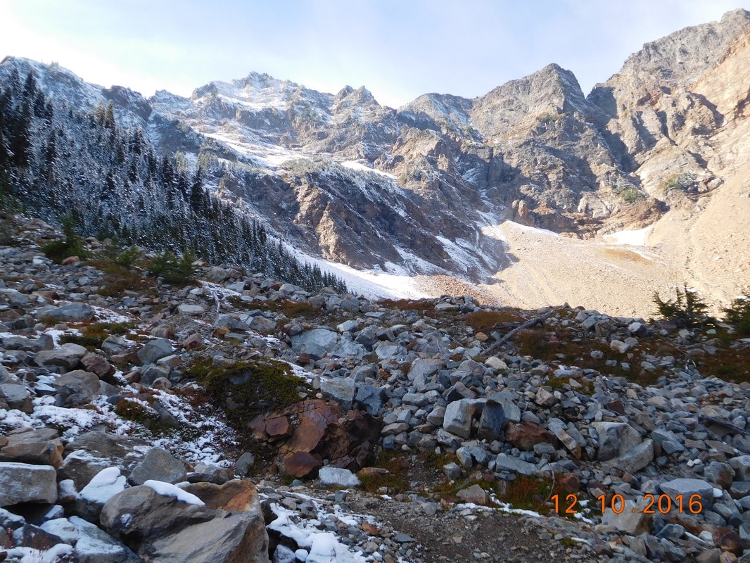
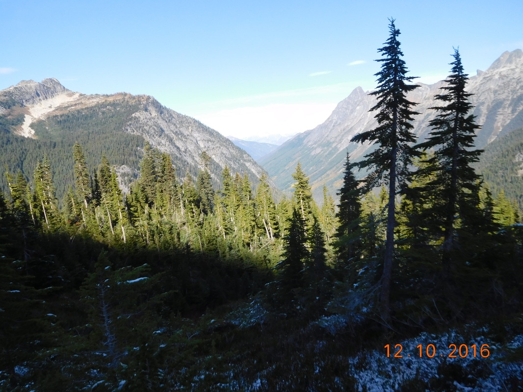
Incredible scenery right near the border
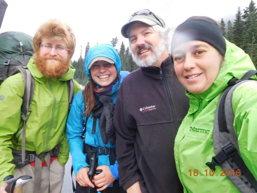
Finally the rest of the crew arrived so we took this amazing group photo, from left to right:
Domestix, Blue Bird, Aviator, Fixie, Mighty Mouse, Sherlock, Speedy Gonzalez, and Saint Nick.
Picture
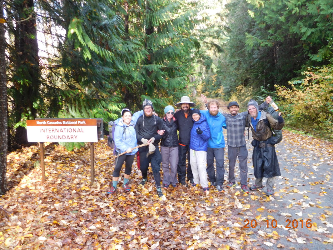
Group shot at the border
Oh wait...there was one missing in that shot.  Sunshine finally made it about 1 hour later.
Picture
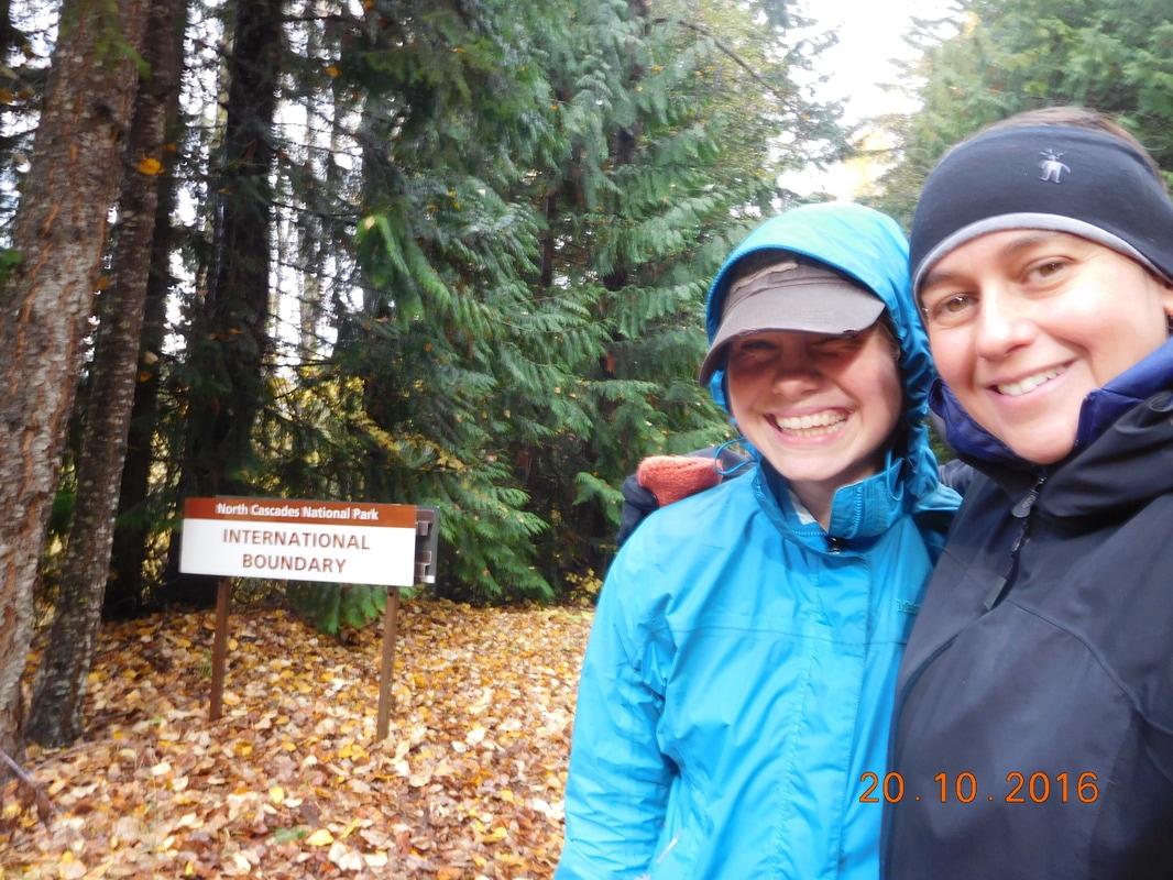
Sunshine and I at the Canadian Border
Picture
DONE!!!
It was about 40 miles of dirt road and potholes to get to town and there was no way everyone would fit in the car, so Tim took some of the crowd down the road about 10 miles where there would be more traffic and hopefully cars that will pick the others up.  When he returned Brad, Sunshine, Aviator, and Kodachrome stuffed into the 4Runner with Tim and I.  That is 6 people in the truck...4 in the backseat for a very long, bumpy, slow road out.  None of us seemed to mind too much though.  After the challenges of the last 184 days, this is nothing. 

We made it to town and of course stopped for some pizza followed by Dairy Queen.  Sunshine, Kodachrome, and Aviator got there bags and headed to a nearby hotel.  Their plan is to meet up with the others that finished the trail today and hitch a ride to Manning Provincial Park and hike the 7 miles to the actual PCT terminus.  It was important for them to see the monument they have been picturing the past 2,760 miles of hiking.

Brad and I were satisfied with making it to the Canadian border, so we headed off to Vancouver to visit and stay with Brad's cousins, Pete and Susan.  We will stay there for a few days and then Brad is headed back to Riverside, CA and Tim and I will head up to Vancouver Island to visit Share Bear.  Time to celebrate!
2 Comments

Day 183 (19 October) - 2607.41- ??

10/19/2016

0 Comments


East Bank Trailhead to Deer Lick Camp

Today we hike on the East Bank Trail.  We know we have about 33 miles to go and plan on doing about 20 today leaving only 13 to the border for tomorrow.  The bad news is that we aren't on the actual PCT anymore.  The good news is that the East Bank Trail runs along a beautiful lake and stays low down enough that we won't have to worry about snow and ice anymore.  Since we aren't on the actual PCT we won't wind up at the traditional PCT terminus, but we will make it to the Canadian border.  At this point that is all that matters.  Oh, buy the way, I forgot my camera in the car, so I stole these photos from Brad...thanks Fixie!!
Picture
East Bank Trailhead
Do you notice the trail marker at the bottom left of the East Bank Trail sign?  Part of todays hike takes us along the Pacific Northwest Trail (PNT) which is another long-distance backpacking trail that goes from Glacier National Park in Montana to the tip of the Olympic Peninsula in Washington for about 1,200 miles.
Picture
The beautiful PNT
Picture
Cool signage on this trail
Picture
Beautiful Ross Lake
Picture
Ross Lake vantage point
Picture
Brad self-portrait
Picture
Cool trail cut into the side of the mountain
Picture
Incredible suspension bridge on the trail
Picture
Ross Lake from above
Picture
Cabin not really suitable for spending the night in
We got to camp just before dark and was able to find a couple of nice, flat spots next to each other.  Brad went down to the stream to collect water and I filtered it when he returned.  About 30 minutes later, Sunshine and Sherlock finally showed up.  We were pretty happy to see her since we haven't seen her all day.  Of course she was smiling and in a good mood.  We quickly ate dinner and went to sleep.  Tonight is our last night on the trail, so we are somewhat happy but somewhat sad.  It's just one of those feelings that is hard to explain.
0 Comments

Day 182 (18 October) - Mile 2588.91 - 2607.41

10/18/2016

0 Comments


Highway 20, Rainy Pass to East Bank Trailhead

No alarm was set so we all slept in till 8:00 AM. I finally asked out loud, "What are we going to do?"  Brad shrugged his shoulders. I told them what the others has planned and that I thought we should go for it as well and complete the hike from Mexico to Canada. Brad agreed, but said he wouldn't do the walk along the highway.  Who could blame him?  Because I want to keep my continuous footpath, I have to walk the 18.5 miles from Rainy Pass to the East Bank Trailhead. At least I won't have to walk alone since Sunshine and Sherlock are as crazy as me.

As Brad stayed in bed, Tim drove me to Mazama where we picked up Sunshine and Sherlock and headed to Rainy Pass. We were ready to hike at 11:00 AM.
Picture
It was cold and rainy when we took off from highway mile-marker 57. We weren't sure of the exact distance we need to walk, but it is around 20 miles. Every mile marker we passed was another mile down. They actually felt like they were going by pretty quickly. We stopped for a couple of short breaks, but pretty much walked almost non-stop. 

Around 1:00 PM we saw the others go by on their way to the trailhead. Less than one hour later, Trail Angel Ravensong pulled over and said she dropped the others off at the trailhead and they hoped to see us tonight or tomorrow morning on the trail. Cool. 
We kept going and around 5:00 PM a car pulls over. It was the Cush Cousins with Mandolin and Stump. They got off trail in Stehekin and rented a car. They dropped Speedy Gonzolas  off at the trailhead, but they are headed south to maybe hike a section in Northern California that they skipped. After catching up some more they took off and we continued on the highway. 

We came to a trailhead 3 miles before the one we were aiming for. Sunshine and Sherlock decided to try to hit the trail there since their feet was hurting from walking the pavement. I had to stay on the road since Tim and Brad should be passing soon and I didn't want them to worry if I wasn't on the road. 

I continued on and Tim showed up 10 minutes later. I had about 2.5 miles to go, so they went ahead to the trailhead where I showed up 45ish minutes later.
Picture
Entering Ross Lake National Recreation Area
Brad and I set up our tents as border patrol showed up to see what we were up to. After he left Sunshine and Sherlock appeared and they were approached by the patrolman. While we all hung out more another border patrol showed up. We were finally left alone and Tim took off and Sunshine and Sherlock decided to head up the trail a bit to pitch their tents. If we weren't already setup we would have moved away from the road but we didn't feel like unpitching, so we stayed. Let's just hope we aren't interrogated in the middle of the night. 

Tomorrow we will wake at 6:30 AM and hike maybe 20 miles. Oh, it is 33 miles to the border, so we should be there in 2 days baring any unforeseen circumstances. So, until tomorrow...
Picture
Home for the night
0 Comments

Day 181 (17 October) - Mile 2588.63 - 2591.63 - 2588.91

10/17/2016

0 Comments


Highway 20, Rainy Pass to Highway 20, Rainy Pass (Staying in Winthrop)

We woke at 7:00 AM in the hotel room. From that point I didn't have a good feeling about today. We are going to get back on the PCT and try to head north to the border. All that stands between us and Canada is 61.47 miles. Under normal conditions this should take us under three days to hike, but today the conditions are not normal. We know there is a foot of snow at 6,500 feet and much of the  remaining trail hangs out between 6,000 and 7,000 feet. We also know if the snow really is that deep it can take us 5-6 days to complete the 30 miles. We aren't sure we can do it, but we have at least see it for ourselves and give it a try. 
Aviator and Kodachrome met us in the parking lot at 8:00 AM and we were off to Mazama to pick up Sunshine. After getting Sunshine, shopping a bit at the outfitter in town, and warming up in the Mazama Store, we were headed to the trailhead around 10:30 AM. By 11:00 AM we were ready to hike.
Picture
Ready to hike with Aviator, Kodachrome, and Sunshine
Picture
Trailhead
The whole time in Mazama I still didn't feel good about this. I have never hiked in snow deeper than my ankles plus, I was worried about my feet being cold & wet for the next 5 days. As soon as we started hiking I started to feel better. The trail was in pretty good condition with little snow. There were some puddles, but nothing we couldn't walk around. OK...this isn't bad. We climbed a bit and the snow got a little deeper, but no problem. Plus, there are footprints in the snow on the trail, so someone is ahead of us cutting a path in the snow. Hopefully they are thru-hikers and we can just follow their footprints. Suddenly the snow was deeper and then it was halfway to my knees. I kept going though since I was able to step in the footprints ahead of me. 
Then, two guys were coming towards we on the trail. They are sponsored trail runners trying to promote trail running in Washington. They were trying to get to Canada and then turn back and run the PCT from Canada to the border of Oregon, but when the snow got to their knees they turned back. At this point the others caught up to me and it was decided by all, except Sunshine, that we should head back. We had made it to mile 2,591 and we weren't going to make another PCT mile past that point.
Picture
Not too happy about turning back
Picture
Lots of snow
We were all upset, but Sunshine was in disbelief. Brad and I turned back as the others out on more clothes for the downhill journey back to the trailhead. We made it down, but it was another 20 minutes till Aviator and Kodachrome made it. They told us that Sunshine almost had a meltdown and they had to convince her to turn back with us...she did not want to quit.  Finally Sunshine made it and Tim showed up 20 minutes later to pick us up.

When we got back to Mazama the others decided to take an alternate to make it to Canada. At this point I was unsure what I wanted to do. We headed back to Winthrop, stopped for pizza, and returned to the hotel room. All this without discussing our next plans. I received a text from Aviator saying that they were all doing an alternate, lower route to Canada leaving tomorrow. Sunshine and Sherlock were going to walk the highway to the trailhead starting around 9:30 AM to keep their continuous footpath, and the others are getting a ride to the trailhead. I went to sleep still not knowing what we were going to do. 

I guess we will see in the morning. Until then...
0 Comments

Day 180 (16 October) - Mile 2588.63

10/16/2016

0 Comments


Rainy Pass (Staying in Winthrop. WA)

We woke up and Jazzman decided to try to get back on trail.  The cook at the Inn is going to take him up to Hart’s Pass, 30 miles further on the trail than we got off at.  We said our goodbyes and he was off.

We also heard that morning that Skittles and Stork made it to Canada from Hart’s Pass the night before giving us hope that maybe this will be possible.  We started talking to other hikers and we found three others willing to try to hike out with us tomorrow morning.  Aviator, Kodachrome, and Sunshine will be joining us.

As we were making our plans I received a Facebook message from Jazzman.  He isn’t on trail  He went up to Hart’s Pass and decided there was too much snow so he came back down and is now in Mount Vernon, WA on his way to cross into Canada before his visa expires. 
Picture
Jazzman at Harts Pass
Picture
Too much snow says Jazzman
I messaged Aviator and her and Kodachrome came over to discuss our plans.  As of now, 11:00 PM, we are going to have Tim take us to the trail at Rainy Pass where we came off.  In the first 6 miles we climb to 7,000 feet where we will see what the conditions are like. If they are favorable we will continue on to Hart’s Pass.  If not, we will turn around and Tim will pick us back up from Rainy Pass.  

Let’s hope for the best, because if we turn back this will probably be the end of the hike.
0 Comments

Day 179 (15 October) - Mile 2588.63

10/15/2016

0 Comments


Rainy Pass (Staying in Mazama, WA)

Our first zero day while we wait for this early season snowstorm to get out of here.
Picture
Hanging in the room with Jazzman
Luckily there is a brewery in the next town over:
Picture
Picture
Sampling the beer
Picture
Enjoying beer with Jazzman
Picture
Aviator and Kodachrome showed up
After the brewery we returned to the hotel and continued monitoring the storm.  We expect at least 1 foot of snow to fall in the next 1.5 days. We will all wake in the morning and see what the weather is like and decide what to do next.
0 Comments

Day 178 (14 October) - Mile 2580.61 - 2588.63

10/14/2016

0 Comments


Six Mile Camp to Highway 20, Rainy Pass (Staying in Mazama. WA

When I went to sleep the temperature wasn’t too bad, but I felt the temperature lower as the night progressed, but it didn’t get too bad.  Oh…I ate a lollipop while blogging last night and threw the wrapper and stick outside my tent alcove.  When I got up around 10:30 PM to pee, the stick was back inside the alcove, curtesy of a mouse.  In the middle of the night we heard Jazzman yell.  It wound up that mice were trying to get to his food all night. 

Since we only have 8 miles to hike to get to Rainy Pass where Tim is going to meet us, we decided to sleep in until 7:00 AM.  We were ready to hike at 8:54 AM.
Picture
Ready to hike
Here is the sign pointing to the camp the stayed at last night:
Picture
Our camp last night
While hiking out, we saw these prints in the snow.  They are mountain lion prints and one of the reasons I don’t hike at night.
Picture
Mountain lion prints
Picture
More mountain lion prints
The trail started out not to bad and I was able to keep my feet dry so they warmed up some, but as we hiked the snow got slushier and it was impossible to keep my feet dry.  Towards the end I just gave up trying knowing that I would soon be in a warm car and headed to a hotel.  Around 12:30 PM we made it to Highway 20, Rainy Pass with Tim waiting for us.  Here is a photo that Brad took of Rainy Pass…quite an apropos name:
Picture
Rain and snow at Rainy Pass
We made our way down to Mazama, WA and checked into the Mazama Inn.  We walked next door to the Mazama store where we had sandwiches and draft beer and returned to the room for the night.  There is a storm brewing, the remnant of Typhoon Songda.  We are definitely off the trail for at least 2 days.  How frustrating being less than 60 miles to Canada.  At least I have the time to wait.  Jazzman on the other hand doesn’t have time.  His visa expires on Thursday so he has to get over the border.  For now we will just wait it out checking the weather websites regularly helping us decide when we can get back to the hike.
0 Comments

Day 177 (13 October) - Mile 2561.26 - 2580.61

10/13/2016

0 Comments


Campsite near Swamp Creek to Six Mile Camp

We went to sleep after a beautiful, blue sky day and woke to what sounded like rain. "Brad," I said. "How does it feel so cold and yet it's raining and not snowing?"  He was thinking the same thing. Then he got outside his tent and he said that it was raining under the tree that we pitched our tents, but it's snowing everywhere else. Oy!!
Picture
Scene of our campsite when we awoke
Picture
Brad getting ready in the snow
We got ready and took over 2 hours because it was dark, cold, and today add snowing. We were ready to hike by 7:45 AM.
Picture
Ready to hike
The hike started out OK with a light snow and the trail not being too bad. Then the slush and the slushy puddles and frost made it not so good. And when my feet eventually got soaked by this cold water and slush, things weren't too good. We knew that in 8 miles we hit the outskirts of Stehekin where there is a ranger station, so we spent the 8 miles discussing if it will be opened and if they will have cookies for us and wouldn't it be nice if they had a dryer to dry our socks, gloves, clothes, etc. 

Just before we hit the ranger station we entered North Cascades National Park. Our last national park before hitting Canada.
Picture
Cool sign and bridge welcoming us to North Cascades National Park
Shortly after crossing that bridge and then the High Bridge over the Stehekin River, we arrived at the High Bridge Ranger Station. It was closed, but on the front stoop under the awning was Lt. Dan, Snooze Button, and HR. They were all in Stehekin for the night and was getting ready to hike. Their plan is to make it to Canada in 3 days covering the remaining 89.5 miles. Uhh...that sounds ambitious especially taking into account the current weather today and the rain/snow mix expected tomorrow, and true serious snow forecast for Saturday. But off they went to pursue their thru-hiking dream. 
Meanwhile, this dream team decided to eat an early lunch under the awning. We were still very wet, so we cooled off pretty quickly. So we ate fast, used the outhouse (at least that was opened) and got back on the trail. At this point we have 11.19 miles to get to our planned campsite for the night. 

As soon as we got back on trail we began climbing. Not good considering the rain will turn to snow if we keep climbing higher. Well, we did continue climbing and the rain continued falling, only it must have snowed at this altitude last night become the trail became a path of slush. My cold, wet feet got colder and wetter. Luckily there was a hill to climb to warm me up, but my feet and now my hands were staying cold. With our motivation to get to camp quickly, we hiked hard and made it to camp right at 5:00 PM.
Picture
15 miles to warmth in town at Rainy Pass
Picture
View on the way to camp
Picture
Cold but doing OK
Picture
Cloudy, snowy view
Picture
More clouds and snow
Wow...what s day of hiking. We covered just under 20 miles very quickly considering the weather.  Now we had to pitch our wet tents in the rain making them even wetter. Rain is really a downer when you are backpacking. 

Somehow I managed to quickly pitch my tent, dry the tent floor, and get inside to remove my wet clothes and jump into my sleeping bag to get my feet warm. I thought about just going to bed right then and not eat dinner, but brad told me that I needed fuel to stay warm so I cooked my mac & cheese and ate dinner. I felt well enough after eating to blog, so here I am. But now, my hands are getting cold so I have to wrap this up. 

Tomorrow we have 8 miles to get to Rainy Pass where Tim is going to meet us and take us to a hotel.  We decided to sleep in till sunrise around 7:00 AM so we don't have to get ready in the dark. Plus, we assume the trail will freeze over during the night, so waiting till after sunrise and allowing it to hopefully melt some sounds like a good idea. Oh, when we were in our tents Jazzman showed up, so he might hike with us in the morning. 

So, until tomorrow...
Picture
Home for the night
0 Comments

Day 176 (12 October) - Mile 2541.90 - 2561.26

10/12/2016

0 Comments


Campsite near Miners Creek to Campsite near Swamp Creek

Another cold night and cold morning. It is so hard to get out of the sleeping bag when it is as cold as it has been the past week or so. Even though the alarm went off at 5:30 AM it took us until 7:35 AM for us to be ready to hike.
Picture
Ready to hike
Today's hike starts off just as we like it, with a climb to warm us up. This climb however goes for around 7.5 miles and climbs 3,800 feet. The good news is that once that climb is done the rest of the day is mostly down. 
Everything was going great until I failed to negotiate a stream crossing and got both of my feet wet. Two days ago my feet got soaked from walking through rain and snow. Yesterday was a dry day so my shoes got mostly dry. This morning I even put on dry socks so my feet were feeling good...until this. I was so upset at myself for allowing this to happen. The only good thing is that it happened early in the day so I have all day for my shoes and socks to dry some. Like yesterday, it took a couple of hours until both my feet were feeling warmer. What a bummer!

At least today it is blue skies and the views are amazing and the snow made everything look beautiful:
Picture
Morning view while climbing
Picture
Self-portrait "Winter Wonderland"
Picture
Brad hiking on a snow covered trail
Picture
Cool ice crystals on the grass
Everything was going good until Brad stepped on a log covered with snow...down he went. His comment after falling, "Wow, that's a pretty cloud."  Obviously he was fine, just a bruised buttocks.
Picture
Poor Brad
After the climb we descended into a valley with mountains all around us.
Picture
View during the descent
Picture
Spectacular
We decided to take lunch right there since the sun was shining and we were pretty certain that we would be entering a shaded forest soon.
Picture
Breaking for lunch right on the trail
We took the opportunity to dry out our tents by laying them right on the rocks:
Picture
Drying out our stuff
Today reminded us of our time in the Sierra Mountains earlier in the hike. Washington is so beautiful. If only it wasn't so cold and wet right now. 
Picture
Beautiful mountain view
Picture
Wow!
It was around 3:45 PM and we were doing great. We only had 4.35 miles to go to our planned campsite. We were discussing maybe going to the next site 3 miles further because it looked like we were going to get there around 5:00 PM, and then we were stopped in our tracks. 
In front of us was the South Fork Agnes Creek and the footbridge that once stood was washed away years ago. There were some logs crossing the creek, but they looked very slippery and hard to negotiate. After contemplating how to get across, we decided to just take our shoes off and walk through the water. 

If you look at the creek it doesn't look too bad with smooth river rocks, not too strong a current, and not too deep:
Picture
South Fork Agnes Creek
However, if you look a little closer you will see this log with icicles fallen over the creek:
Picture
Uhm...what?!?
We hesitantly removed our shoes and enters the creek...holy...what...oy...it was FREEZING!!  I barely made it without crying, but we did it. It took an hour to get feeling back to all my toes. Needless to say. We didn't make it to the further camping spot which is fine since this spot is pretty nice. It even has a toilet so no digging a cat hole in the morning. 

What an unfortunate day my feet had. Tomorrow is supposed to be cold and rainy all day, so another day of no joy for my feet. The overall good news...we have only 88.85 miles to go to get to the Canadian border!

Well, it is freezing and I need to put my gloves on, so until tomorrow...
Picture
Home for the night
0 Comments

Day 175 (11 October) - Mile 2522.04 - 2541.90

10/11/2016

0 Comments


Campsite near Milk Creek to Campsite near Miners Creek

It was another cold night...I'm starting to sound like a broken record...I assume all the remaining nights on trail are going to be cold. Funny story...I woke sometime after going to sleep and looked at my watch. It said 4:05. I was like, "What?!!"  It can't be 4:05, I feel like I just went to sleep and plus, there is no way I slept till 4:05 without waking up earlier. I was baffles and looked at the watch again...4:06...I just didn't get it. After lying there thinking about it I realized that the watch was showing the chrono mode and not the time. Aha...the time was 1:15 AM...still impressive that I slept for almost 4 hours before waking up. 

Anyway, the alarm went off at 5:30 AM and it was freezing.  We had to get up, but it was so hard. What was even harder was putting on my wet socks and shoes. Within 20 minutes of putting them on my toes were going numb...we have to hurry up and get going so I can warm up my feet. We were finally ready to hike at 7:42 AM.
Picture
Ready to hike
I was never so happy to have a huge hill to climb first thing so I can get my feet warm. I climbed as fast as I could hoping my feet would gain feeling back. Slowly my right foot started feeling warmer, but my left still had a ways to go. Finally, after over 2 hours of climbing, both my feet felt fine. What an awful 2 hours though. The only good part was that it was finally blue skies. The first in what feels like a very long time. With the blue skies came incredible views:
Picture
Morning view
Picture
View of the Cascade Mountains
Of course with blue skies come cold, crisp air. This section of the trail was covered with frozen leaves:
Picture
Frozen leaves on the PCT
As we climbed higher the trail was frozen with snow and ice.
Picture
Ice covered trail
Easy does it up to over 6,000 feet with spectacular views:
Picture
Beautiful winter scene
Picture
Glacier Peak
Picture
Self-portrait "Cascades in the background"
Picture
So beautiful
We made it to the top before noon and made our way down. For the entire rest of the day we were under the cover of thick forest. It was so unfair that we finally have blue skies and we barely got to enjoy it. Oh well...at least it's not raining, or worse, snowing, so I'm not going to complain. 

Just before 3:30 PM we came to a trail junction. This is where the old PCT and the new PCT meet. Back about 10 years ago a bridge was washed out and hikers had to use a log to dangerously cross the Suiattle River. 5 years ago they replaced the bridge, but placed it 3 miles upstream to a more sturdy location. This added about 5 miles to the PCT. Many hikers take the old PCT route to save these miles, but not us...we are sticking to the actual PCT...plus, I HATE log crossings. 
The cool thing about the new PCT is that it goes through an old forest with some huge trees:
Picture
That's a big tree
We didn't see any other hikers on the new trail making us think that we are the only ones that did it and didn't take the shortcut. 

There was this cute PCT sign in the new trail once we crossed the river:
Picture
PCT sign of the day
The good thing about us being the only ones on the new PCT is that we didn't have to worry about anyone taking our planned campsite. After hiking nearly 20 miles we crossed a bridge over Miners Creek and there, right above the trail, was a nice flat campsite with plenty of room for Brad and I. What a great day of hiking!  Tomorrow we have a similar day with a climb first thing and then down the rest of the day. Hopefully the sky will remain blue so we can enjoy some more views. Until tomorrow...
Picture
Home for the night with bridge in background
0 Comments
<<Previous

    Archives

    October 2016
    September 2016
    August 2016
    July 2016
    June 2016
    May 2016
    April 2016

    RSS Feed

Powered by Create your own unique website with customizable templates.