Tim & Gerri's Wild Ride
Email & Facebook Gerri:
  • Home
  • Worldwide Travel
    • A Bit of Asia 2025 >
      • A Bit of Asia 2025 Blog Summary
    • Everest 2025 >
      • 2025 Everest Packing List
      • Everest Blog Summary
    • 2024 Europe Tour >
      • 2024 Europe Tour Packing List
      • Europe 2024 Blog Summary
    • Asia 2023 >
      • Asia 2022 Packing List
      • Asia 2023 Blog Summary
    • Eastern Europe 2022 >
      • Eastern Europe 2022 Blog Summary
      • Eastern Europe 2022 Packing List
    • Narrowboat Holiday 2022 >
      • Narrowboat 2022 Blog
      • Narrowboat 2022 Packing List
    • Ireland & UK 2019 >
      • Ireland & UK Itineray
      • Ireland & UK Blog Summary
      • Ireland & UK Packing List
    • France 2018 >
      • France Itinerary
      • Blog Summary
    • European Tour 2017 >
      • European Vacation Blog
      • Blog Summary
    • Southeast Asia 2014-15 >
      • Southeast Asia Blog
      • Packing List
      • Blog Summary
    • Afghanistan 2011-12
  • United States Travel
    • Great Lakes Sail 2020 >
      • Great Lakes Sail 2020 Blog
      • Blog Summary
    • Trans-America Bicycle Ride >
      • Blog Summary
      • Our Team
      • Equipment
      • Breweries Along Route
    • Pacific Crest Trail >
      • Pacific Crest Trail 2016 >
        • What is the PCT? - 2016
        • Why Hike the PCT? - 2016
        • Gear - 2016
        • Itinerary - 2016
        • PCT Blog Summary - 2016
        • Where are we now? - 2016
      • Pacific Crest Trail 2014 >
        • What is the PCT?
        • Why Hike the PCT?
        • Gear
        • Food
        • Itinerary
        • Blog Summary
        • Where are we now?
    • Motorcycle Ride 2014 >
      • Motorcycle Blog
  • Brewery Visits
    • 2026 Breweries
    • 2025 Breweries
    • 2024 Breweries
    • 2023 Breweries
    • 2022 Breweries
    • 2021 Breweries
    • 2020 Breweries
    • 2019 Breweries
    • 2018 Breweries
    • 2017 Breweries
    • 2016 Breweries
    • 2015 Breweries
    • 2014 Breweries
    • 2013 Breweries
    • 2012 Breweries
    • 2011 Breweries
    • 2010 Breweries
    • 2009 Breweries
    • 2008 Breweries
    • 2007 Breweries
    • 2006 Breweries
    • 2005 Breweries
    • 2004 Breweries
    • 2003 Breweries
    • 2002 Breweries

Day 29 (30 April) - Mile 266.00

4/30/2014

1 Comment


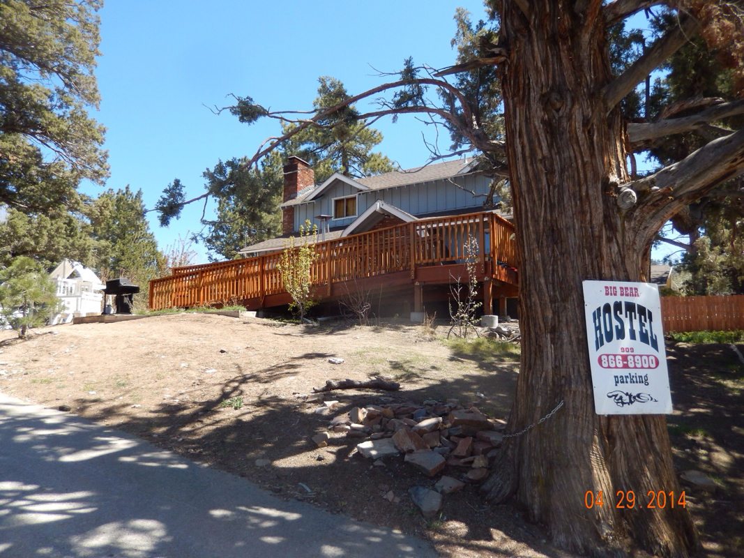
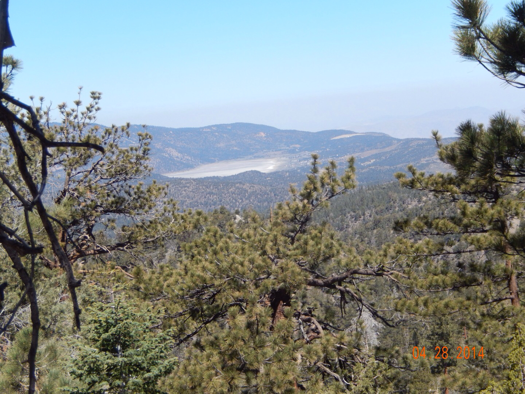
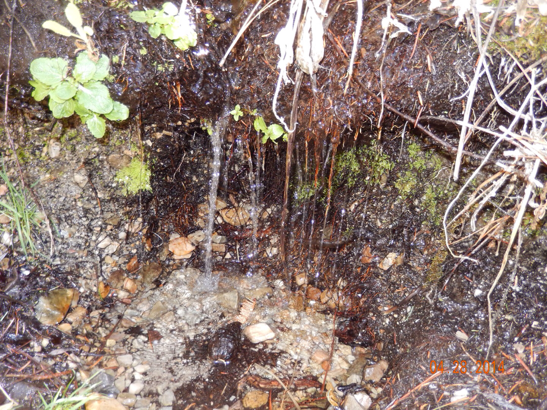
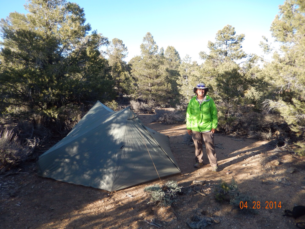
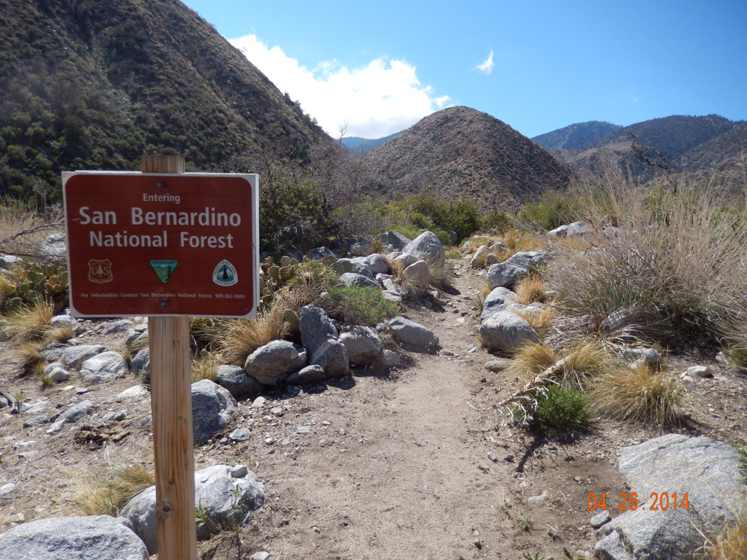
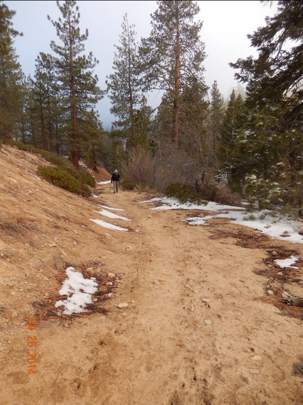
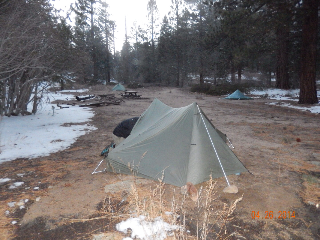
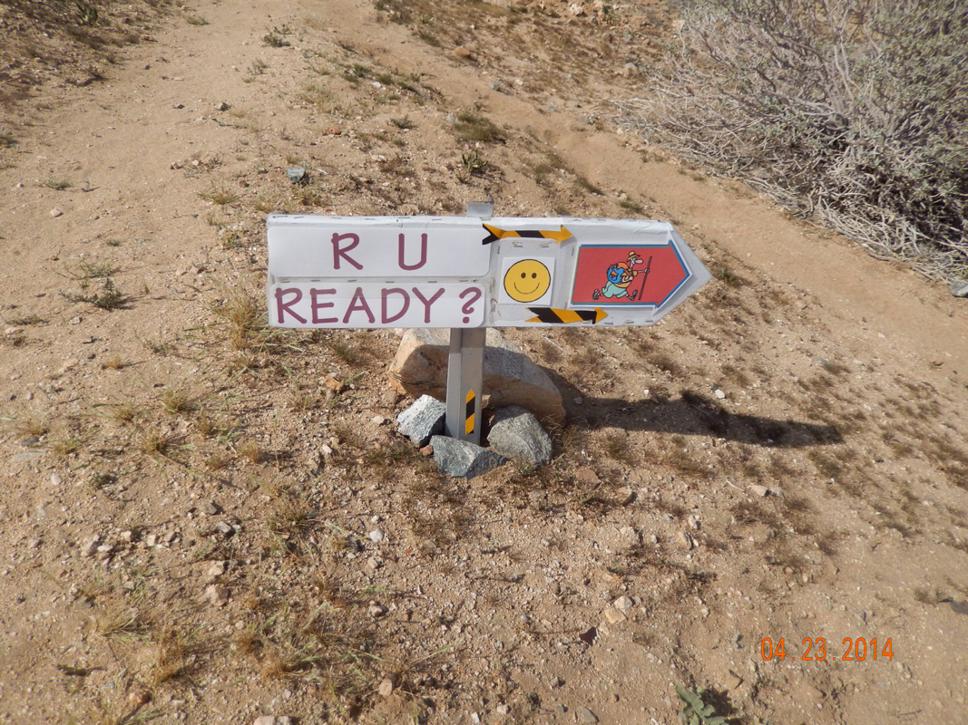
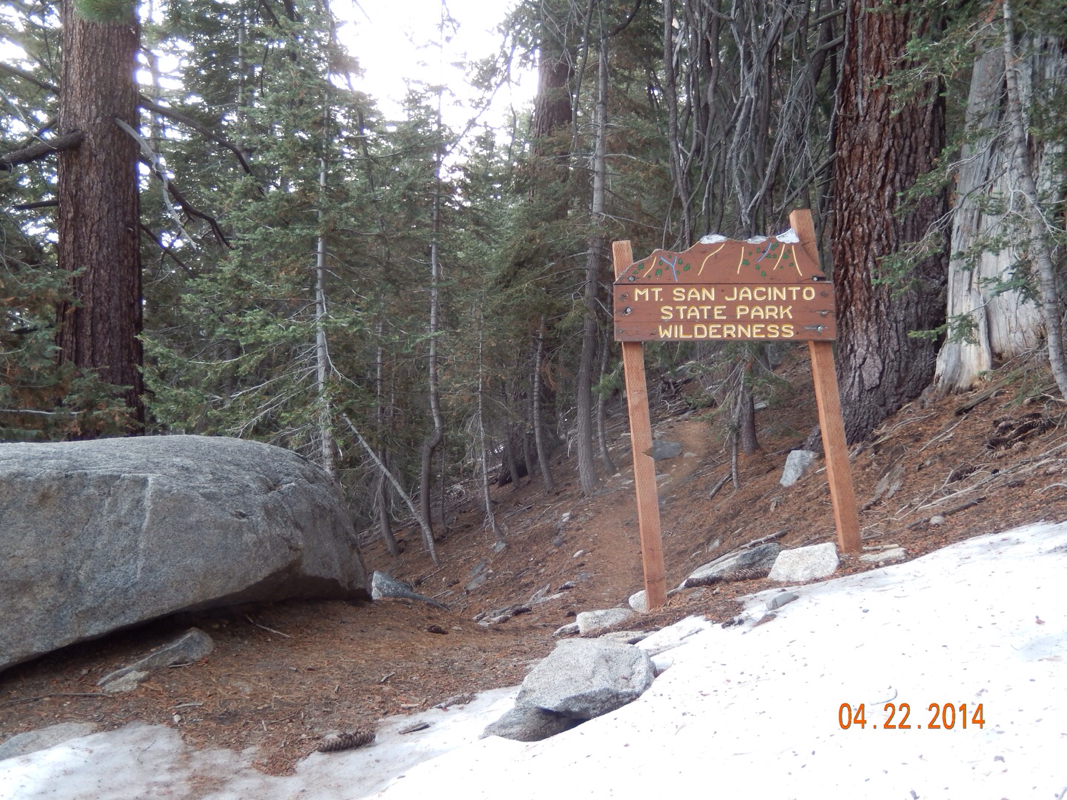
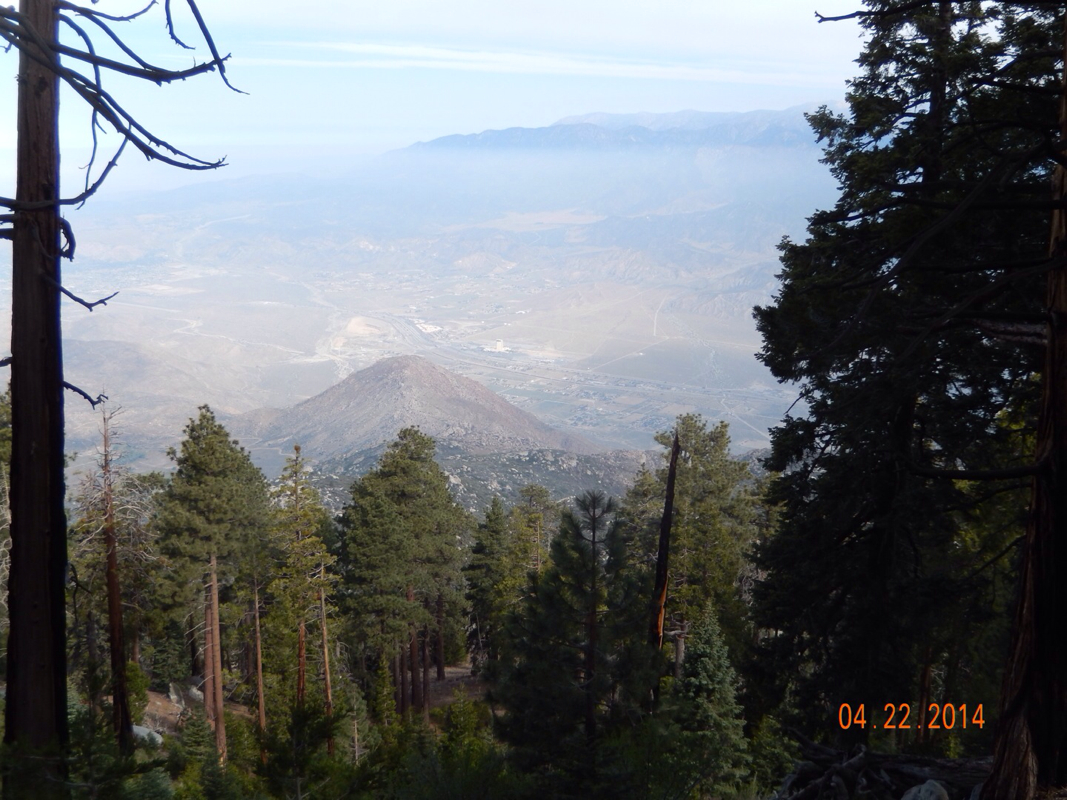
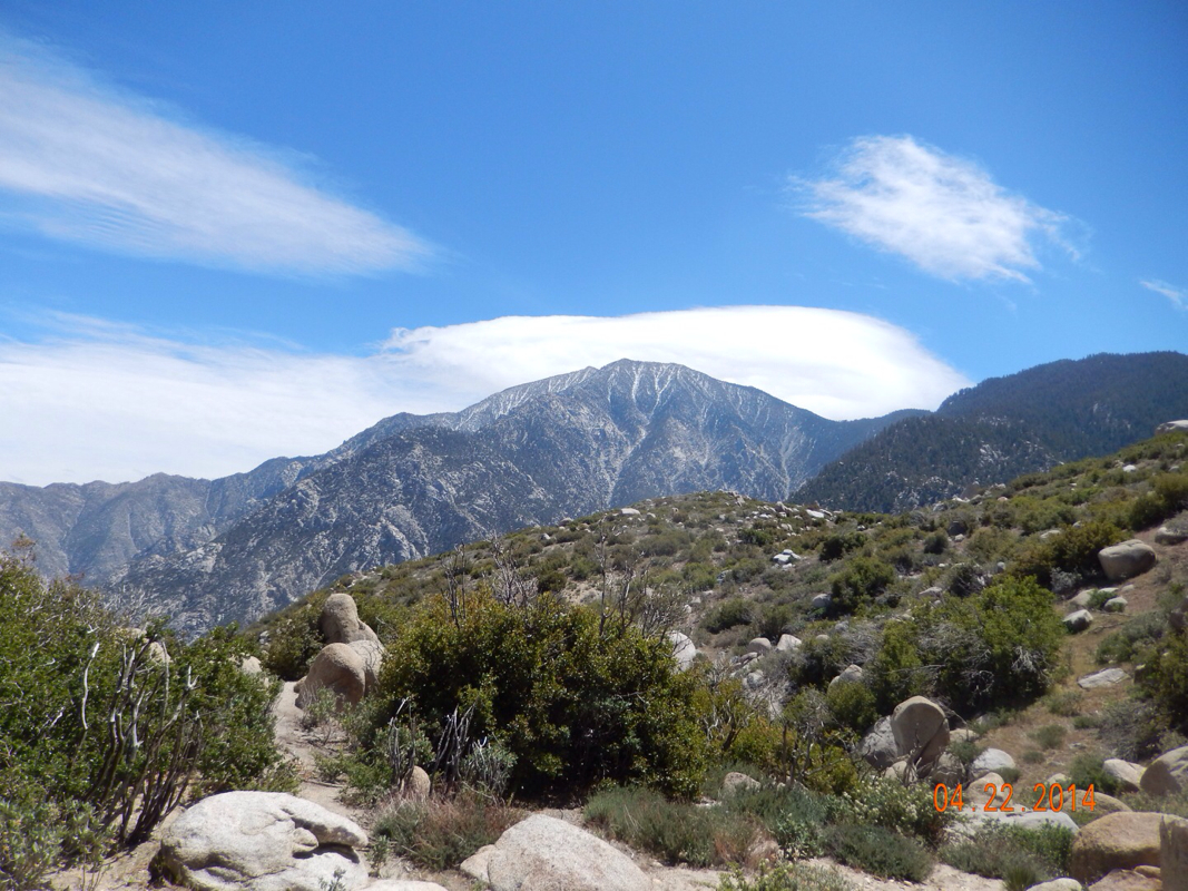
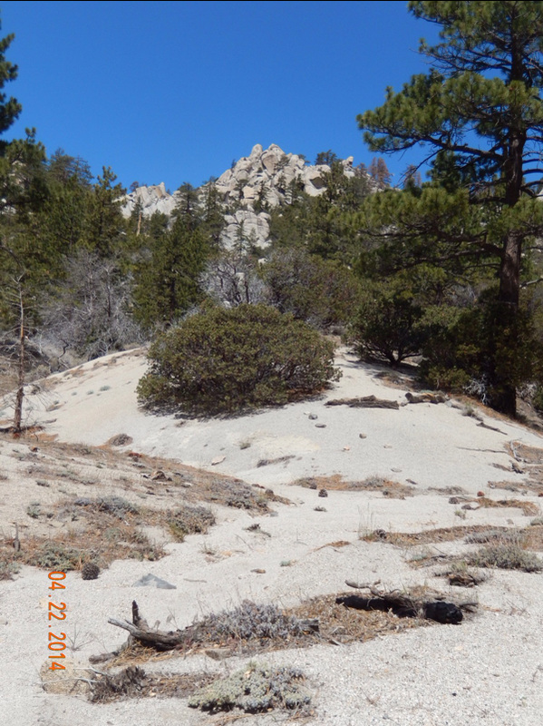
Big Bear Lake, CA (Zero Day)

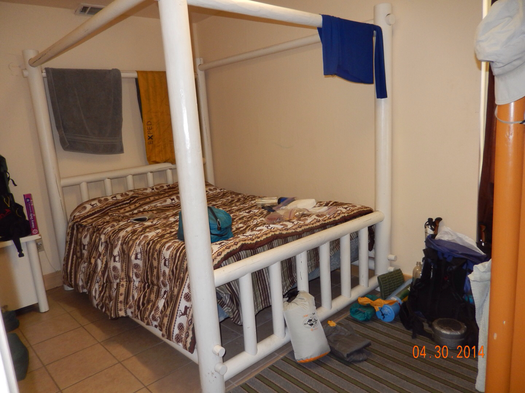
As they say, you get what you pay for. The room here at the hostel is just ok. We had to put safety pins in each corner of the sheet to keep it from slipping off the mattress. The pillows are flat and uncomfortable, so I had to put my jacket under the pillow to make it more comfortable, and the TV doesn't have a remote, so we have to get out of bed and push the buttons on top of it to change the channel. The good part...the shower is awesome and never runs out of hot water. 

The one thing we looked forward to is going to the Grizzly Manor Cafe for thier famous pancakes. We woke up, showered, and walked 1/2 mile up the hill to the Grizzly only to find out that they were having a pancake fundraiser and don't have thier regular menu. Needless to say I was a bit upset, but we can come back here tomorrow morning. 

So, we went to the Teddy Bear for breakfast then got on the bus to the supermarket to buy food for the next 6 days.

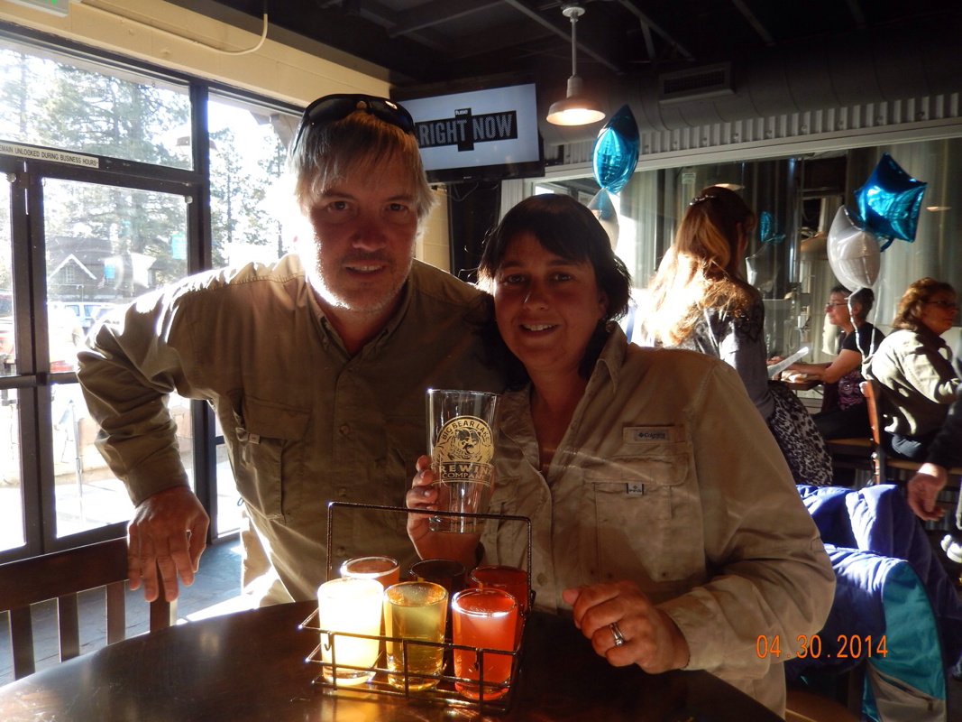
After a bit of a break, it was time for dinner, so we walked towards the local pizza place and noticed some commotion. Believe it or not, it was the grand opening of the Big Bear Brewing Company. So here we are getting a sampler of their 5 beer in tap. Coincidence...I don't think so!  We were meant to be here!!

Picture
Big Bear Brewing Company grand opening.

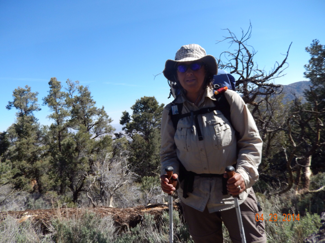
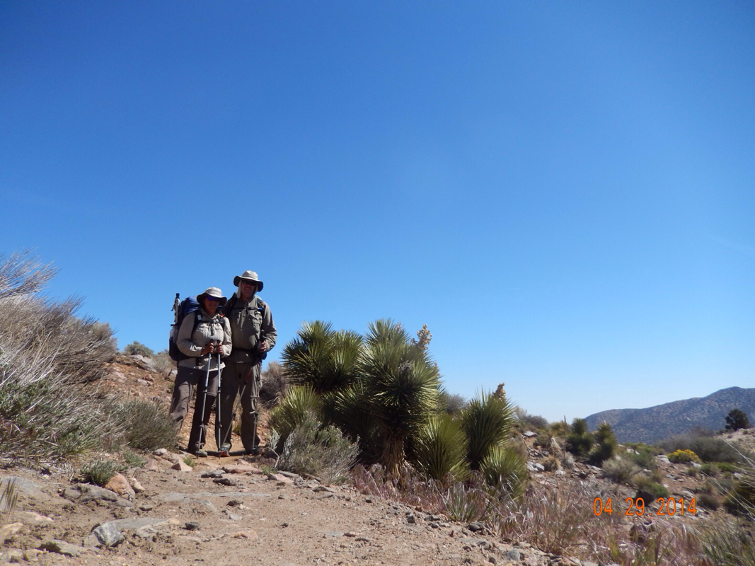
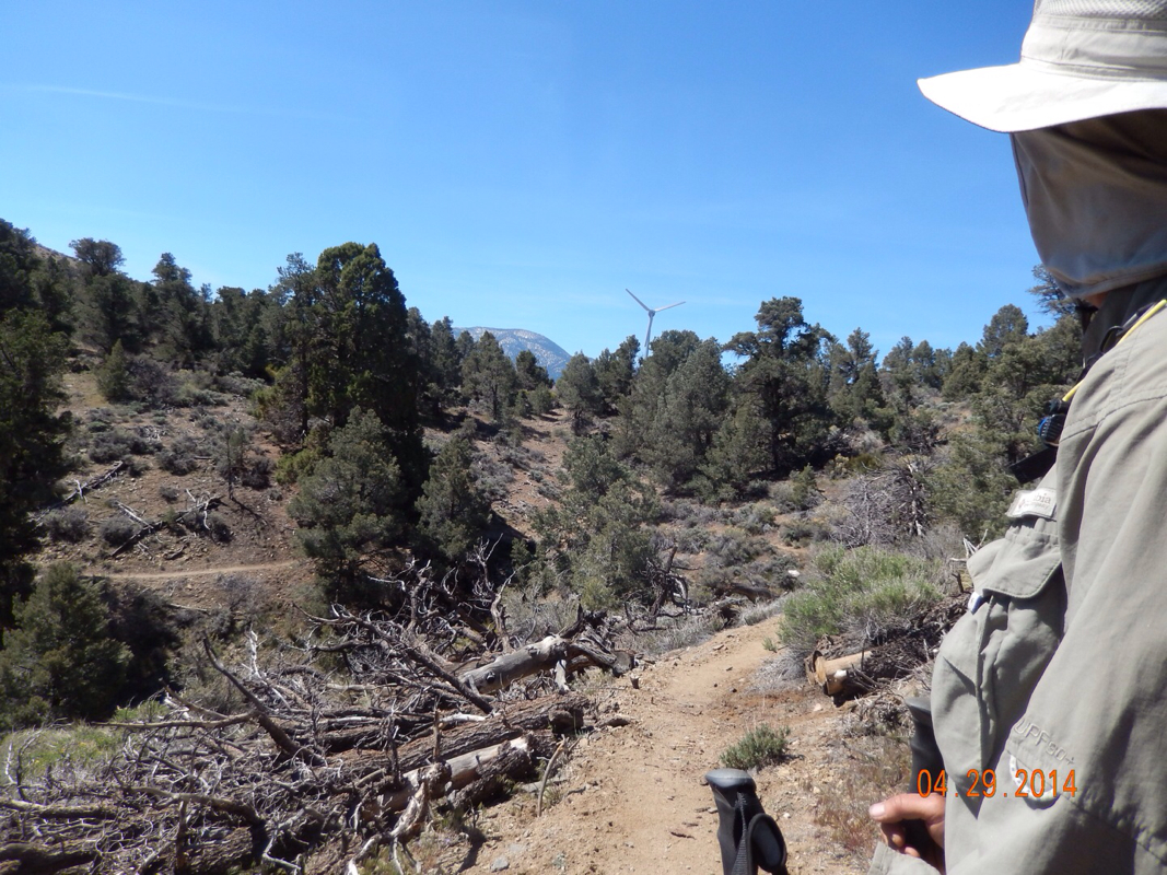
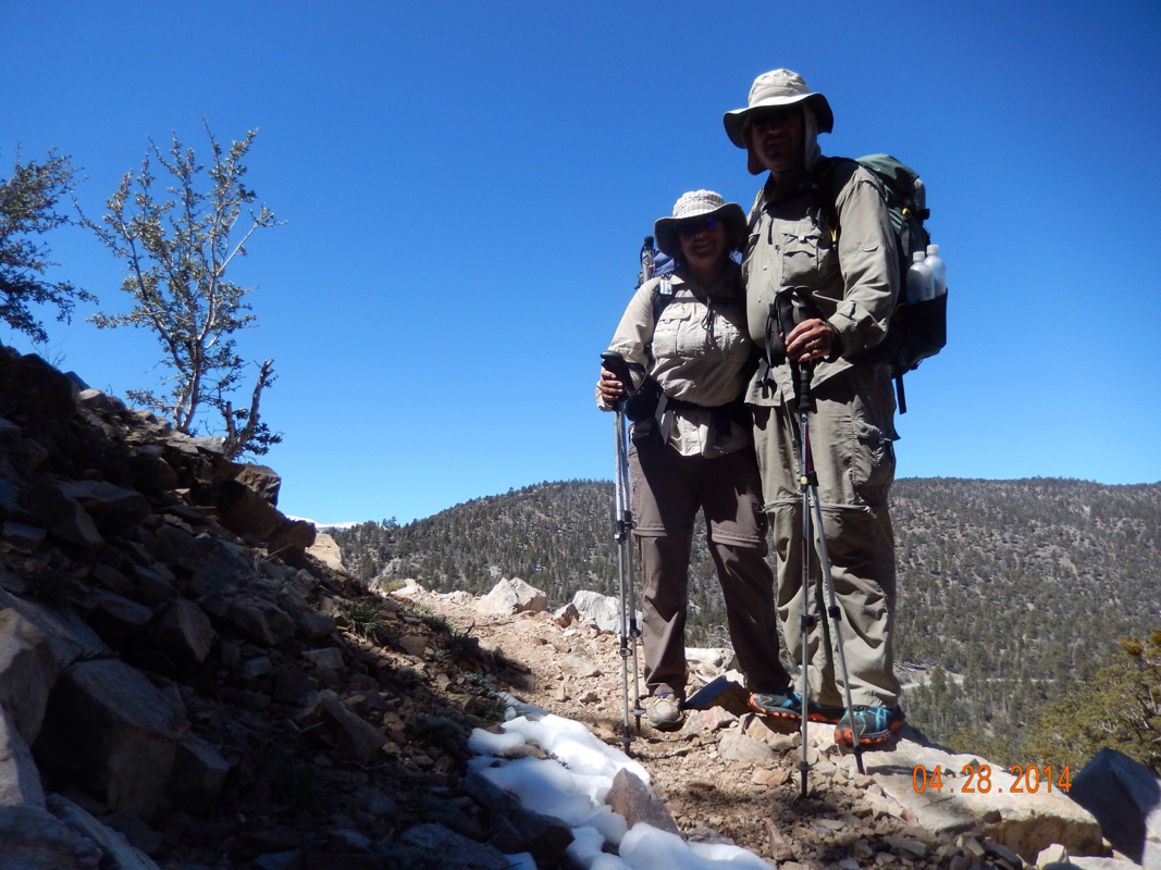
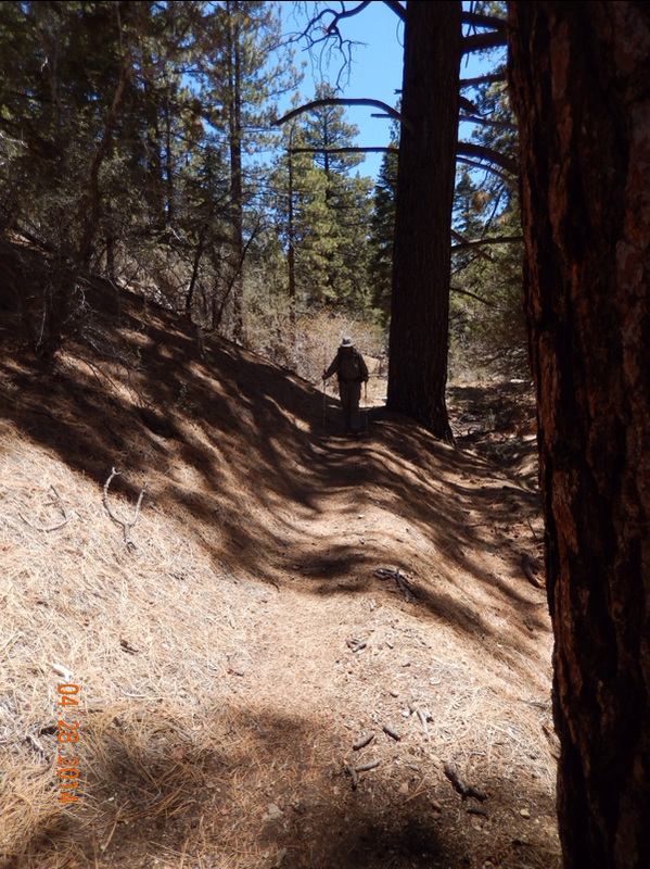
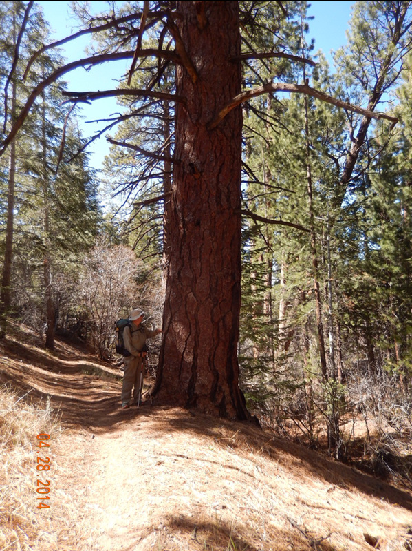
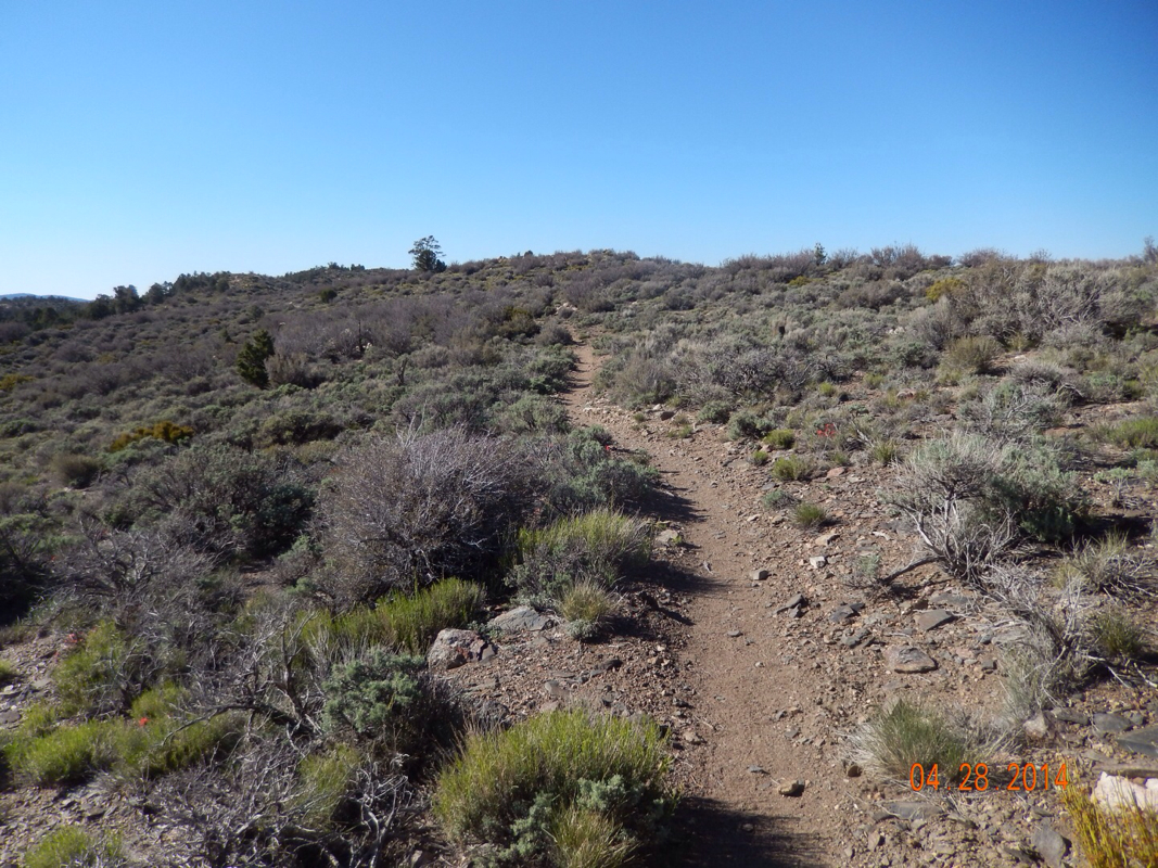
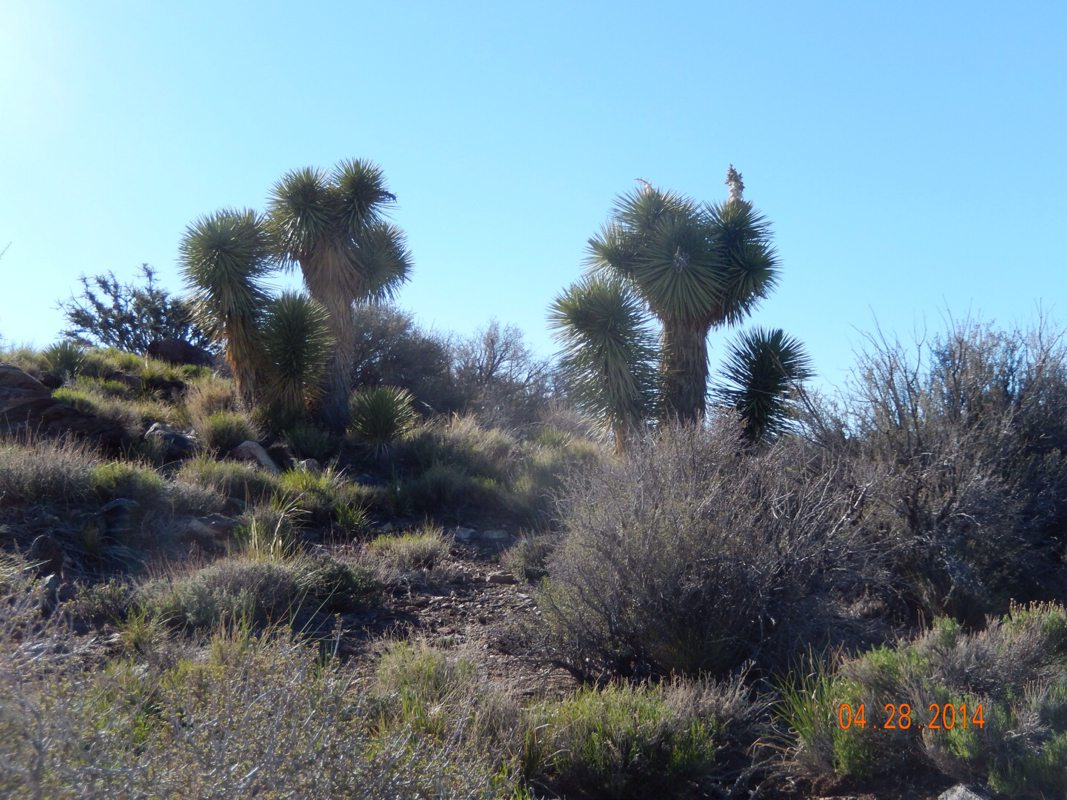
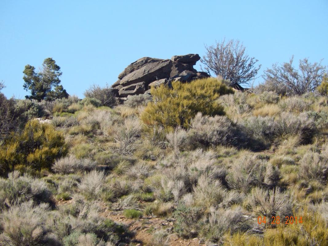
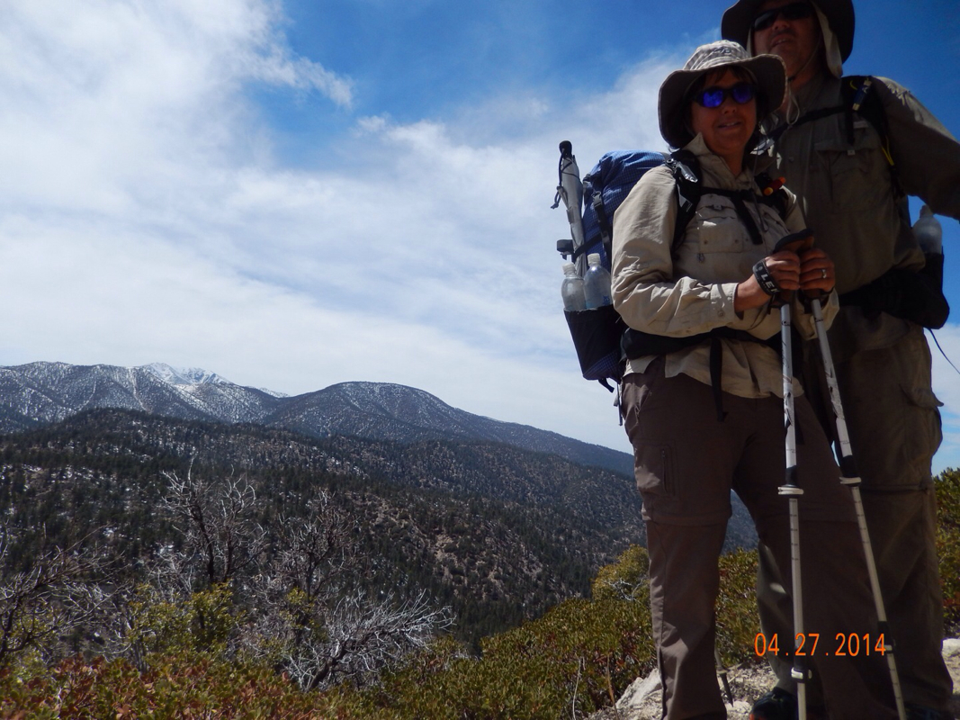
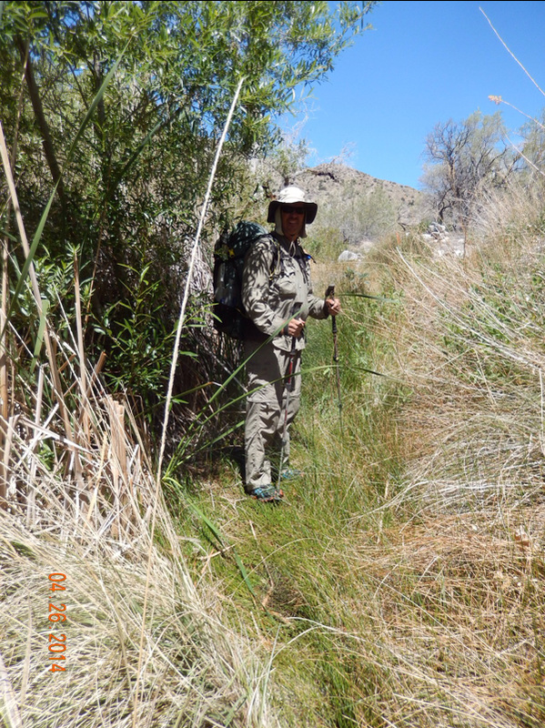
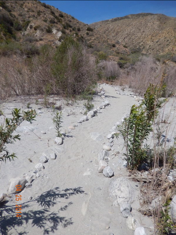
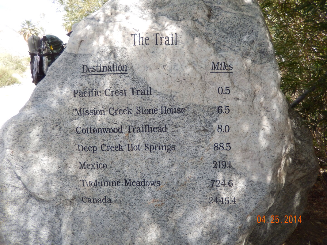
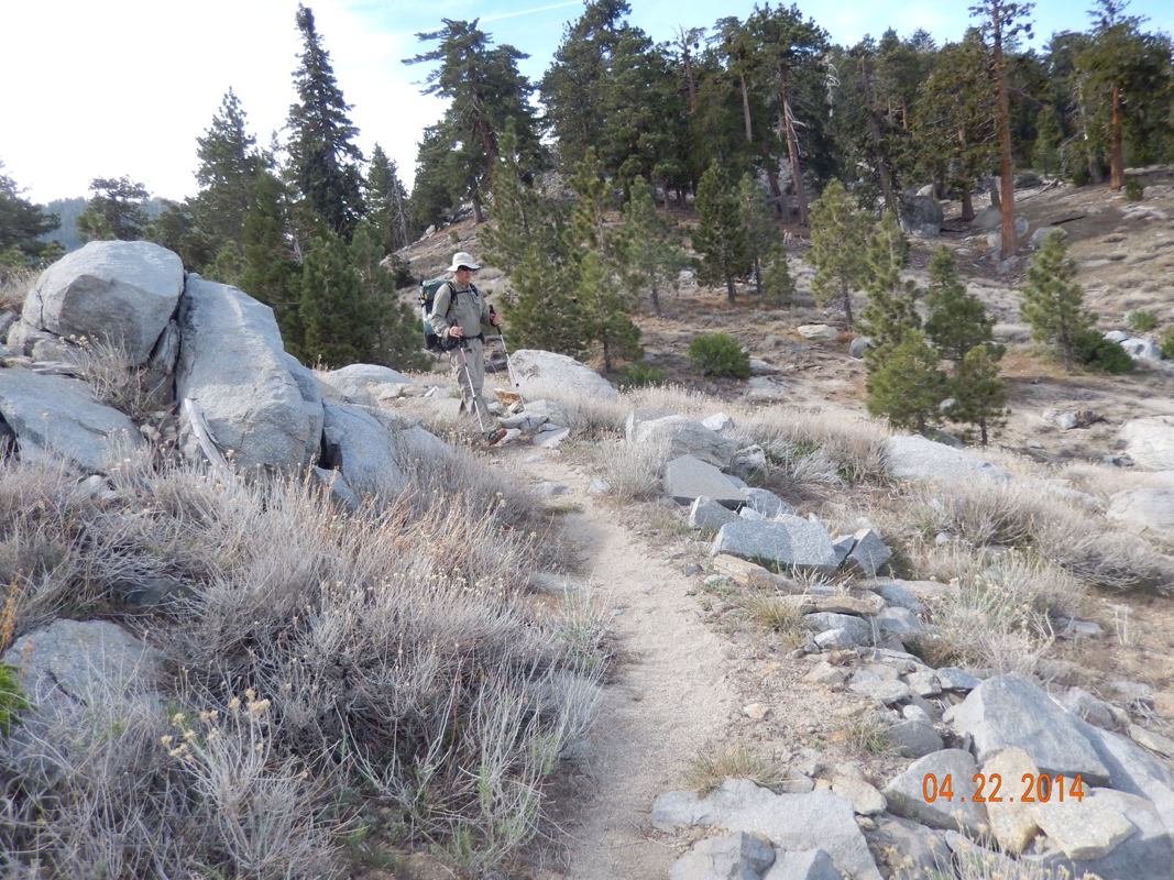
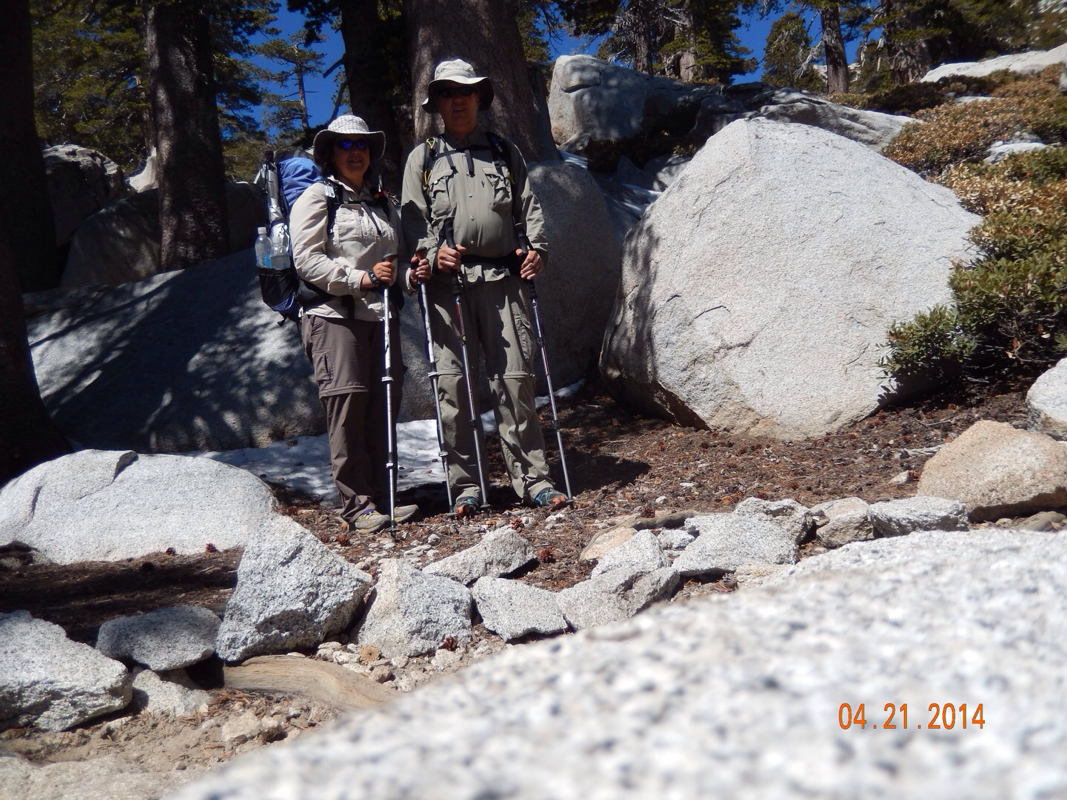
We are now in our room catching up on American Idol.  We really want to get to the Grizzy before hitting the trail, so we have to wake up around 5:30 am.  Oh, did I fail to mention that we need to hike 15 miles per day now instead of 10. We will see how that goes tomorrow. 

1 Comment

Day 28 (29 April) - Mile 261.52 - 266.00

4/30/2014

0 Comments


0.36 miles South of Unpaved Road 2N02 to Highway 18 (Big Bear Lake), CA

We woke knowing that we only had 4.5 miles to town and they were supposed to be pretty easy with just 1 small climb. We hit the trail around 9 am hoping to make it to town before noon and knowing that check in was at 4 pm. Tim was particularly excited about hitting town because his shoes were bothering him and we were going to buy a new pair for him.

Here is a picture that usually is of both of us, but Tim was hiking ahead making it to new shoes. 

Picture
Almost to town.

After a little bit, I was able to catch up to Tim and get our "together" picture for the day.

Picture
Almost to town.

As promised, the trail was quite easy and we just kept going and going without a break knowing that around the next bend could be Highway 18, the road into town. 

At this point, one of Tim's biggest issues was how are we going to get to town. It is common practice to hitchhike into town which Tim was nervous about.

Picture
Nervous Timmy.

We finally made it to Highway 18 right when another hiker got a car to stop for him. I waved my hiking pole and they waited for us to get in. 

Mountain Man, aka Brian Washington, a Mixed Martial Arts (MMA) trainer, picked us up and took us right to the door of our hostel. According to him, most of the top ranked boxers and MMA fighters train here in Big Bear Lake because of the altitude being around 7000 feet...interesting.

Anyway, here we are at a $20 per person per night hostel, so for only $80 we are staying here for 2 nights in a private room, with a TV. We are so looking forward to a good nights sleep in a bed.

Picture
Big Bear Hostel. 
Picture
What more do we need?
0 Comments

Day 27 (28 April) - Mile 250.47 - 261.52

4/30/2014

0 Comments


0.23 miles North of Animal Cages to 0.36 miles South of Unpaved Road 2N02

Last night was another cold one, but not quite as cold as the night before. The tent site was flat and really comfortable allowing us to sleep until 7:15 am. By 9:35 we were ready to go for what promises to be one of the easiest days of hiking.

Picture
Happy with the thought of an easier day.

At the start of the hike we got one more nice view of Mount San Gregornio...and to get a PCT sign in the picture is bonus.

Picture
Mount San Gregornio.

After one hour of hiking, we turned a bend and got a glimpse of where we are headed...Big Bear Lake.

Picture
Tomorrow we will be down there. 

Soon after the view we came across this PCT magic site. This is by far the best hiker cache yet with sodas, cookies, fresh apples, and my favorite item...tissues (it's the little things these days that make us happy).

Picture
Picture

After signing the register we saw that the angel of this cache is the Big Bear Hostel that many PCT hikers stay at. So, one mile later when I had cell service, I got online and made our reservation to stay there two nights starting tomorrow night.

Now with the reservation in place, all we had to do is hike there...only 14 miles to go at this point. 

Today was a day of hiking along beautiful trees. Maybe it was the deep blue sky today, but the trees really seemed to stand out.

Picture
Picture
Picture

By lunch we has made it almost 6 miles and came across the Arrastre Trail Camp. 

Picture

We were so excited by the fact that we could eat on picnic benches that we decided to cook dinner for lunch instead of eating our cold lunch. While there we met a local hiker that retired as a zoologist from the San Diego zoo. He was there when the zoo renovated from cages to natural habitats.  He was fascinating. 

Anyway, I would like to do a shout out to Jordan Daniel for he best placement of a picnic bench EVER!

Picture
Thanks Jordan!

Another reason we decided to cook at this point is because we knew there was a water source 1/2 mile up the trail. This is a natural spring coming out of the side of the mountain and it tastes so good (after proper filtering of course).

Picture
Crisp, clean mountain spring water. 

After a little down and a little up and then a little down we left the forest and entered a more desert environment where the trail became even easier than earlier. 

Picture
Sweet trail.

Here we had our first sighting of Joshua Trees and a giant desert turtle:

Picture
Picture

Just 4.5 miles short of our exit to Big Bear Lake we decided to make camp since we came across a flat spot that we just couldn't pass up. Now we should easily make it to town by noon and have all afternoon and all the next day to get our town chores done and relax.

Picture
0 Comments

Day 26 (27 April) - Mile 239.91 - 250.47

4/30/2014

0 Comments


Mission Creek Trail Camp to 0.23 miles North of Animal Cages, CA

Brrrrr. That was a cold night. Luckily our sleeping bags are rated for 20 degrees since I would guess it was around 30 with a pretty good wind chill. The good part of last night was the tent was pitched on flat ground, so it was really comfortable. So comfortable that we slept until 7:45 am...not good. Now we will have to rush to get in our 10 miles before it gets dark. 

The issue this morning is that we need to filter 8 liters of water before leaving camp since this is the last water for 16 miles. So, break camp, filter water, eat breakfast, filter some more water to replace what we used for breakfast, and now it is 11:15 am.

Luckily today's hike looks a lot easier than yesterday's. From looking at the maps, it looks like today will be a little up, a little down, some flat meandering, a little up, a little down, and stop for the night. Sounds great. 

Amazingly that is just how the day went with the only obstacles being snow and downed trees.

Picture
Some pretty deep snow on the trail in some places. 
Picture
Tree on the trail.
Picture
Another tree obstacle.

There was also some great views of Mount San Gregornio:

Picture
The snowy peak of Mount San Gregornio in the background. 

The trail today was wonderful. The ups weren't too steep and neither were the downs. Lastly, most of the trail today was free of rocks making it pretty easy to navigate.

Picture
Picture

Time to get this bag off my back and take a break!

Picture
A little rest before a bit of a climb. 

And then we came across this:

Picture
What kind of print is this?

Of course we are thinking it is a

mountain lion print and the area we saw this in looked like what I would picture to be mountain lion territory. We came across a hiker couple and they thought it might be a mountain lion print as well (btw...her name was Bear Print!).

Then, the more we thought about it the more it seemed like a dog print. We came across another hiker couple and they confirmed they saw some hikers with dogs. So happy...now I will be able to sleep without much worry. 

However, we did come across this, just 0.23 miles from out tent site:

Picture
BEAR!!

I guess this is a ranch where they house animals used in Hollywood.

Speaking of our tent site, it seems to be nice and flat, although a bit cold again tonight. I guess a cold front is going through, but it is supposed to get warmer over the next few days. Just one more night after this in a tent and then we hit Big Bear Lake for a 2 night stay and a zero day!

Picture
0 Comments

Day 25 (26 April) - Mile 229.44 - 239.91

4/30/2014

0 Comments


Campsite near Mission Creek to Mission Creek Trail Camp, CA

So, about last night. The wind continued to blow and then around 10:30 pm it started to rain. I thought, great. Now that is is raining the front is going to pass over us and the wind will stop. Nope. It rained for a few hours and then the wind continued. The good news is that the wind wasn't nearly as bad as the other night, so we were able to sleep. However, when we woke at 6:30 am,, there was freezing rain. We thought about staying in our sleeping bags, but we both had to...you know...go, so we put on our rain jacket and went outside. Good news...the guy who cowboy camped got soaked (this is not the good news) and needed to dry out how stuff, so he built a fire (this is the good news). Bad news...we wound up standing around the fire till 11:00 am when we finally realized the time and had to get on the trail. 

We finally started hiking around 11:15 am and knew that we were now in a bit of a hurry since the campsite for the night is 10 miles away and it is mostly up hill. We started today at 3,927 feet and we will be climbing to 7,921 feet. 

The start of the hike we were feeling good as we usually do when we have a good night sleep and the fire today made us feel even better.

Picture
Great start of the day, even though a bit late.

The trail, like yesterday, was very diverse. It followed a creek for the first half of the day, so even though we are in the desert, it was pretty green. 

Picture

Here are some looks at the changes of the trail today:

Picture
Rocky desert...we are headed up that mountain today. 
Picture
More green than usual for desert. 
Picture
Higher elevation brings forest. 

Today we left the San Gogornio Forest and entered the San Bernadino Forest.

Picture

We also came across a new plant.  I know, it's not much to look at, but it smells wonderful. Kinda like lemongrass or citrus or something. 

Picture
No flowers, but smells great.

As the day progressed, and we were 3 miles from the campsite, the trail got steeper and steeper. Now we were worried about getting there before dark. We tried speeding up, but between the altitude and the steepness of the trail, it was difficult. I began checking more frequently than usually how much further, which only makes it seem like we weren't getting anywhere. Finally, we  were only 1/3 mile away and terrain leveled out. Oh, did I mention that as we were getting higher, it was getting colder. Notice the snow.

Picture
Almost there.

Finally we made it and saw 2 of the hikers we shared a site with last night already in thier tents at only 7 pm. Why?  Because it is so very cold. As I type this I am sitting in my sleeping bag a hivering. It is most definitely below freezing, but the wind seems to finally be slowing down. Tonight we will be testing our 20 degree rated sleeping bags! Hopefully the sun will hit our tent in the morning and warm us up, or else, we may wind up sleeping in again and having to fight the sunset.

Picture
Snow around tent at almost 8,000 feet. 
0 Comments

Day 24 (25 April) - Mile 218.60 - 229.44

4/30/2014

0 Comments


Whitewater Preserve to Campsite near Mission Creek, CA

I did manage to get a picture of the tent setup this morning. We love when there is a picnic table we can lay our stuff on.

Picture
Spoiled with running water, bathroom, and picnic table. 

We got to sleep later than usual, so we slept in until 7:30 am and didn't get on the trail until 10ish. It was a pretty late start, but we felt good since we slept in and the terrain promises to not be too bad today. 

I did manage to get some pictures of the Whitewater Preserve that we stayed at. This place used to be a trout farm and is now a nature preserve.

Picture
Trail from PCT to Preserve. 
Picture
Trout pond.
Picture
Trout.
Picture
We are living this right now. 
Picture
Didn't really want to know that Canada was still 2445.4 miles away!

Today's terrain was different than we have seen. We hiked up and down into small valleys:

Picture

Hiked along a crest through heavy wind:

Picture

Hiked on sandy deserty trails:

Picture

And crosses a stream (Mission Creek) multiple time:

Picture

All in all a great day.

We did see some interesting insects today as well:

Picture
Some kind of flying insect dragging a hairy spider. 
Picture
Some kind of large caterpillar eating a plant. These were all over today.

And we came across some beautiful flowers:

Picture

Today we didn't race the sunset like we did yesterday, but we did have to race others to a campsite we had in mind. If that campsite is full, I don't know what we would do. There is a couple and a single woman that I have a feeling is planning on stopping at the same spot. At the point I thought this, we were in front, so I upped the speed a bit and made it there but there were 3 others there before us. Luckily it was a pretty big spot with room for us to fit. 

Now we just have to get through the night. Again, the wind is blowing and we are just hoping we don't have another hellish night in the tent. We are already covered with a thin layer of sand inside the tent and the night has just begun.  We are just hoping for the best. 

In the picture you can see 2 of the 3 other people camping in the same location as us. One tent is not in the picture. That weird thing in the middle is a guy cowboy camping which is a bit crazy with this wind, but maybe it's a good idea based on our last windy experience. Only time will tell. 

Picture
0 Comments

Day 23 (24 April) - Mile 210.79 - 218.60

4/30/2014

0 Comments


Ziggy and the Bear (trail angels) to Whitewater Preserve, CA

Today I renamed Ziggy and the Bear's place to Hotel California. Why?  You know the line in the song "You can check out any time you like, but you can never leave."  That is precisely what happened today. We woke around 7 am to a breakfast spread of fresh fruit, cereal selection, hot beverages, and orange juice. After breakfast we packed up our bags, which was pretty easy since we didn't pitch the tent last night, and was pretty much ready to leave by around 9 am.  That's when it happened. We were pretty much checked out, but we couldn't leave. I don't know what happened, but before we knew it it was 11 am and everyone had us convinced that we shouldn't hike in the heat of the day and we should leave after 3 pm. So, for the next 4 hours we socialized with other hikers who kept showing up with bright red faces (definitely a good idea to wait). Then we all ordered Burger King that Bear picked up for us. Then we did some more socializing and finally left just after 3. 

I will tell you one thing. Ziggy and the Bear was one of the highlights so far of the PCT. They live for hikers from 1 April to mid-May. The protocol when you stay at trail angels houses is to leave a $20 per person donation, which we gladly did as we left. Here is their picture:

Picture
Ziggy and the Bear.

Right when we left the sun hit us hard. We knew there was a water source 2 miles away, so we only took 2 liters of water thinking we usually drink 1 liter every 4 miles, but it's hot, so let's take 2. We barely made it to the next water, even with the 2 liters. It was so hot and the trail went up right from the start. At the water source we took 3 liters which was heavy, but we felt we needed it. Then the trail started going up even more. Check out the profile of the hill we had to climb:

Picture
Steep hill in the heat if the desert.

Luckily it turned to4 pm as we were toward the steepest part, so the sun wasn't too brutal, but it was a hard climb. I guess I forgot to tell you that we resupplied at Ziggy and the Bear's. We are now carrying 6 days worth of food to get us to the next town (Big Bear Lake) so our packs are very heavy. Although the picture doesn't seem to do it justice, check out the climb here. We had to go up over that saddle.

Picture

Finally up and over and of course we had to now go back down.

Picture
Tim making his way down switchbacks.

We were then greeted by a sign welcoming us to a new area. San Gorgonio is the tallest mountain in Southern California. This can only mean climbing is in our near future.

Picture
Welcome to San Gorgonio Wilderness. 

I guess I didn't mention it, but, but we only had to cover 8 miles today to get to our campsite. Ordinarily this wouldn't be too much of an issue, but we started hiking after 3 so we were now racing daylight. Finally, just as the sun was setting, we saw the sign pointing us towards the Whitewater Preserve where PCT hikers are permitted to throw down their tent anywhere in the picnic area, which, by the way, has water and bathroom facilities...BONUS!

Picture

One half mile later we were searching in the dark for a place to pitch our tent while coming across other thru-hikers sleeping all over the place. 

Because it was dark, I wasn't able to get pictures of the tent and this preserve. Tune in tomorrow for them.

0 Comments

Day 22 (23 April) - Mile 201.14 - 210.79

4/22/2014

3 Comments


Mile 201.14 Campsite to Ziggy and the Bear(trail angels), CA

So, about last night. I will describe it in one word...horrific!  We got to the campsite and it was a bit breeze. This is something  expected in the desert for it to be breezy right around sunset then calms down. Well, last night there was no calm. The wind got worse and worse as the night progressed. So much so that we were awake most of the night wondering if our tent was going to blow away with us in it. At one point I told Tim that we needed to unpitch the tent and find a rock to get behind. At another point Tim said that he quit and was done with the hike. YES...it was that bad. By 7am the wind finally stopped and we, along with all our stuff, was covered by sand. Needless to say, there were lots of complaining all morning, but we shook out the tent and all our gear and headed off to hike down the rest of this mountain. 

For 5 miles we had a view of the town Cabazon that we were aiming for. What is in Cabazon that we were looking forward to?  Just you wait and see!

Picture
Cabazon in the far distance. 

We were quite anxious to get to Cabazon, so there was little stopping and taking pictures, but here are a couple:

Picture
Day 2 of getting down the mountain. 
Picture
Cool new plant seen in the desert today.

We finally made it down and got to look back up at what we just decended. Wow, we were on top of that peak just yesterday.

Picture
One last look at Mt. San Jacinto. 

Now we had to walk 5 miles across the desert floor. It was a bit hot and the sand was pretty deep in places making it a hard walk. 

Picture
Picture
Tim with wind farm behind.

Finally we crossed under Interstate-10 and got a bit of relief in the shade, and of course there was a bit of trail magic there with a cooler of ice water and some cookies. 

Picture
Crossing under I-10.
Picture
Other hikers enjoying some trail magic and dumping sand out of their shoes. 

Just one mile north of I-10 and we start seeing these signs:

Picture
Picture
Picture

We follow the signs and wind up at Ziggy and the Bear were we spent the rest of the day and tonight hanging with other hikers and feeling some real trail magic from some renowned trail angels.

As soon as we enter the place we are handed a Gatorade and told to sit down and relax in the shade. We are then handed towels for the shower and told that ice cream will be served at 7. This place has everything any thru-hiker needs. Check out this place:

Picture
Shady patio to hang out on. With carpeting throughout the outside area. 
Picture
Shower house.

And then, one of the other hikers (from Israel) took out his ukulele and started playing. He was really good.

Picture

We cooked up some dinner and as promised was given a bowl of ice cream with a homemade cookie in it. What could be better. 

And best if all, we don't have to pitch a tent tonight. We get to sleep under the stars on the carpeted, outside area. 

Picture
Sleeping under the stars.
3 Comments

Day 21 (22 April) - Mile 188.44 - 201.14

4/22/2014

1 Comment


Unnamed Location on PCT to Mile 201.14 Campsite, CA

What a cold and windy night that was. The wind blew so constant last night that it sounded like we were camping in a stream. We got up before 6:30 and was on our way by 7:50. No dilly dallying around this morning. We wanted to get off that saddle and find warmer temperatures. As promised, here is a picture of our tent that I took this morning.  Notice the tarp is full of wind!

Picture
Beautiful site, but windy.

So off we went in a hurry for a day that is promised to bring us down below 4000 feet from 8000 feet. After about 1.5 miles we passed through this sign as we left Mt. San Jacinto Wilderness Area. I was a little sad because I knew that as we decended we would be back into the desert and I would miss the mountains, but there are a lot more mountains to come.

Picture
Thanks for the beauty. 

We then got a view of where we were headed. Way down there is Interstate 10. Tomorrow we will be crossing it. From where this picture was taken the distance to I-10 is 19 miles by trial, but only 7.6 miles as a crow flies with an altitude drop of 6,409 feet.

Picture
I-10 way down there. 

Check out this cool picture of weather forming over the valley below.

Picture

And a little further down the trail, as promised, we left the mountains behind and began seeing signs of the desert.

Picture
Picture

Along with some new desert flowers that we haven't seen before. 

Picture
Picture
Picture

All day we were able to look up at Mt. 

San Jacinto which we summited yesterday. 

Picture
Awesome clouds formed over Mt. San Jacinto. 

Just after lunch there were 2 other hikers catching up to us (something we are quite used to) so we pulled off the trail behind some rocks to block the wind. The hikers (In the Weeds and Mars Rover) wound up being two guys we met in Idyllwild the other day. We started to chat and then In the Weeds looked at me and said there was a rattlesnake just behind me on the rock. I jump and he said, "Rad," and Mars Rover pushed me out of the way to get a picture. My first experiance with a rattlesnake...and I hope my last. Here is a picture of Mars Rover and In the Weeds. By the way, they were both hiking solo and met over a week ago on the trail. It winds up they are both from Brooklyn and decided to continue the hike together.

Picture
Mars Rover & In the Weeds. 

Oh! Look what milestone we made it to today!  200 miles!!

Picture
200 in stone. 
Picture
Our 200 mile pose. 
Picture
Proof we are standing at mile 200 on the PCT. 

As we were decending down into the valley all day we also got a view of a wind farm. It winds up that this is one of the windiest parts of the PCT. 

Picture
Picture

Speaking about wind. The wind is really whipping our tent around. Tonight will be a good night to test how well it can withstand wind. Tonight's campsite puts our tent in the shadow of Mt. San Jacinto.  How cool is that?!?

Picture
Awesome shot of Mt. San Jacinto and our campsite for the night. 
1 Comment

Day 20 (21 April) - Mile 181.31 - 188.44

4/21/2014

2 Comments

 
Trailhead to San Jacinto Peak to Unnamed Location on PCT, CA


This morning we woke to blue skies and a dry tent. When we went to sleep last night there was fog in the air so we were afraid of moisture on the tent and a morning of gray skies that would make the accent of Mt San Jacinto not worth it. But the way it looks, we are going for the peak.

Picture
San Jacinto Peak only 3.7 miles. 

The trail up wasn't actually too bad since we made a lot of altitude yesterday and we had a night to rest. Here we are on the way up the peak.

Picture
A bit of snow on the trail. 

As we were headed up I saw this tree relaxing on a rock. Cool...right?!?

Picture
Tree sitting on a rock?

Towards the peak there was a cabin that had 2 bunkbeds that you could stay in if you want. We still had many miles to hike, so we just checked it out and signed the register located inside. By the way, some of these pictures I couldn't upload from the camera, so I had to take a picture of the camera with my iPhone.

Picture
Cool cabin by the peak. 

Finally, after a couple of hours of climbing we made it to the top (10,874 feet). This is the second highest peak in Southern California. 

Picture
Picture
Picture

Time to go down now, and down we did. Here is another cool tree we came across. I like the way it is twisted.

Picture
What made it twist like this?

All was going great with the day until we realized/thought we had passed the last water for 20 miles without filling up. We went about 1 mile until we decided that we had to turn back...and the back was up. So up we went, made it to the stream, filtered 10 liters of water, and walked back the mile. Now we have fallen behind schedule. The campsite is 4 miles away and sunset is in 2 hours. Needless to say, we did not make it to the campsite we planned . We had to pitch the tent on a small saddle that is very windy and a bit cold. Plus, we will have to make up the miles tomorrow. 

All in all, it was a great two-thirds of a day and a not so good one-third. Oh well, it can't all be wonderful. 

And another bummer...it was dark by the time the tent was setup, so no parting tent shot tonight. Non worries...I will take one in the morning.

2 Comments
<<Previous

    Archives

    May 2014
    April 2014
    March 2014
    February 2014
    October 2013

    RSS Feed

Powered by Create your own unique website with customizable templates.