Tim & Gerri's Wild Ride
Email & Facebook Gerri:
  • Home
  • Worldwide Travel
    • A Bit of Asia 2025 >
      • A Bit of Asia 2025 Blog Summary
    • Everest 2025 >
      • 2025 Everest Packing List
      • Everest Blog Summary
    • 2024 Europe Tour >
      • 2024 Europe Tour Packing List
      • Europe 2024 Blog Summary
    • Asia 2023 >
      • Asia 2022 Packing List
      • Asia 2023 Blog Summary
    • Eastern Europe 2022 >
      • Eastern Europe 2022 Blog Summary
      • Eastern Europe 2022 Packing List
    • Narrowboat Holiday 2022 >
      • Narrowboat 2022 Blog
      • Narrowboat 2022 Packing List
    • Ireland & UK 2019 >
      • Ireland & UK Itineray
      • Ireland & UK Blog Summary
      • Ireland & UK Packing List
    • France 2018 >
      • France Itinerary
      • Blog Summary
    • European Tour 2017 >
      • European Vacation Blog
      • Blog Summary
    • Southeast Asia 2014-15 >
      • Southeast Asia Blog
      • Packing List
      • Blog Summary
    • Afghanistan 2011-12
  • United States Travel
    • Great Lakes Sail 2020 >
      • Great Lakes Sail 2020 Blog
      • Blog Summary
    • Trans-America Bicycle Ride >
      • Blog Summary
      • Our Team
      • Equipment
      • Breweries Along Route
    • Pacific Crest Trail >
      • Pacific Crest Trail 2016 >
        • What is the PCT? - 2016
        • Why Hike the PCT? - 2016
        • Gear - 2016
        • Itinerary - 2016
        • PCT Blog Summary - 2016
        • Where are we now? - 2016
      • Pacific Crest Trail 2014 >
        • What is the PCT?
        • Why Hike the PCT?
        • Gear
        • Food
        • Itinerary
        • Blog Summary
        • Where are we now?
    • Motorcycle Ride 2014 >
      • Motorcycle Blog
  • Brewery Visits
    • 2025 Breweries
    • 2024 Breweries
    • 2023 Breweries
    • 2022 Breweries
    • 2021 Breweries
    • 2020 Breweries
    • 2019 Breweries
    • 2018 Breweries
    • 2017 Breweries
    • 2016 Breweries
    • 2015 Breweries
    • 2014 Breweries
    • 2013 Breweries
    • 2012 Breweries
    • 2011 Breweries
    • 2010 Breweries
    • 2009 Breweries
    • 2008 Breweries
    • 2007 Breweries
    • 2006 Breweries
    • 2005 Breweries
    • 2004 Breweries
    • 2003 Breweries
    • 2002 Breweries

Day 19 (20 April) - Mile 151.6 - 181.31

4/20/2014

0 Comments


Idyllwild to Trailhead to San Jacinto Peak, CA

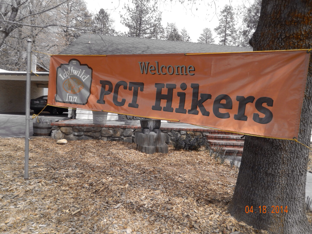
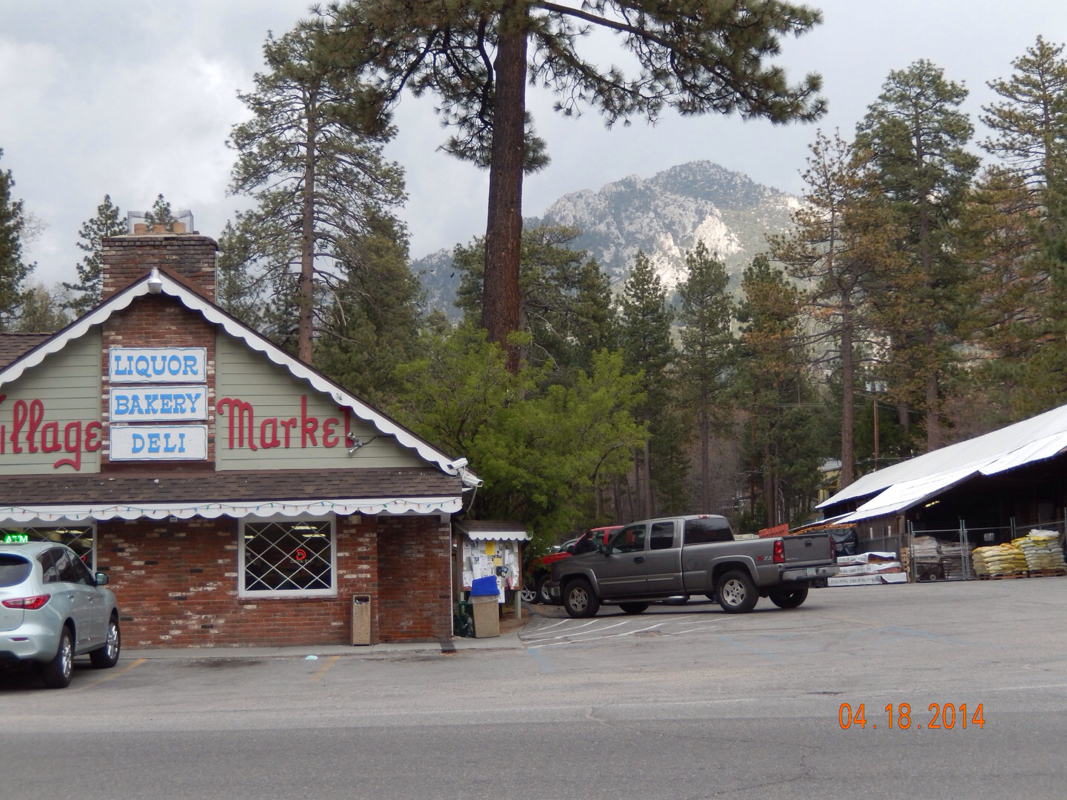
We woke up in the hotel room with the thought of, "Why would we want to leave this hotel room and the wonderful town to go live on the trail for the next 10 days?"  But up we got, walked down the block for a great breakfast, and headed back to the trail. 

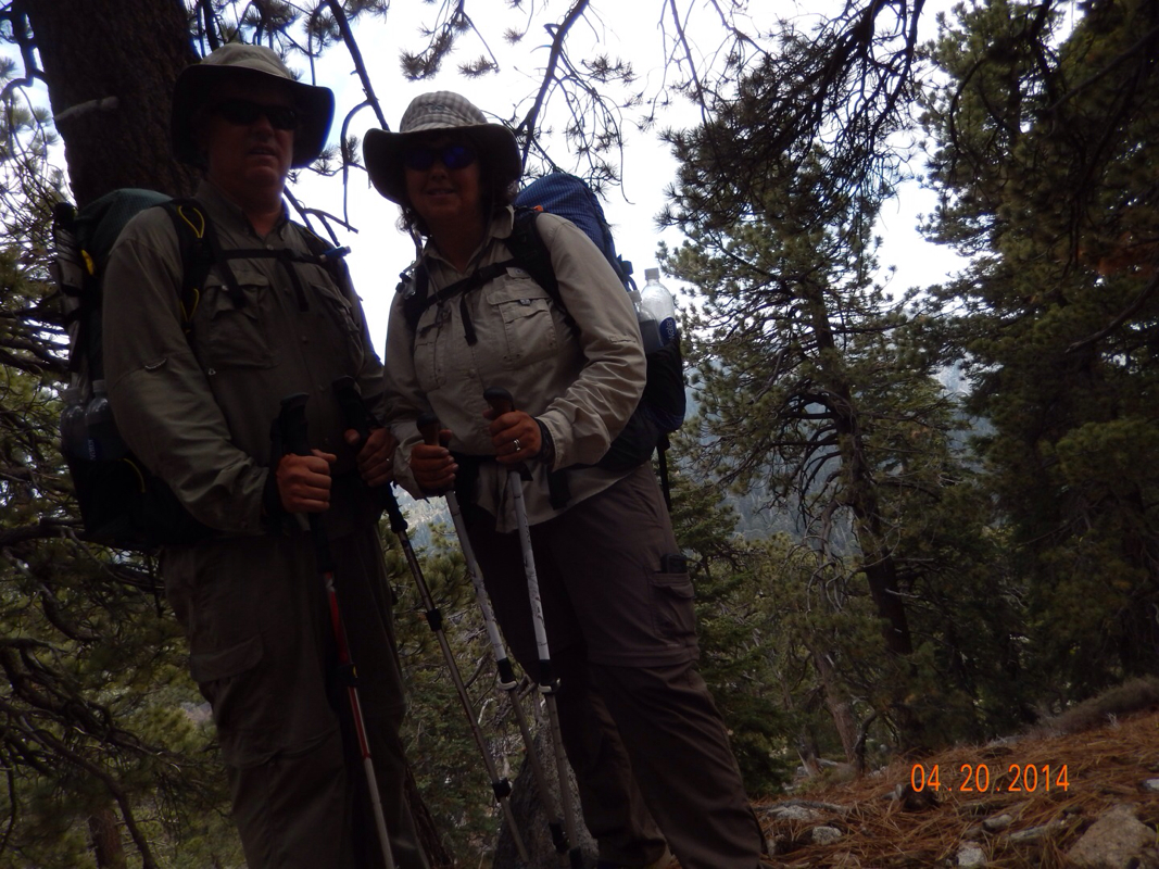
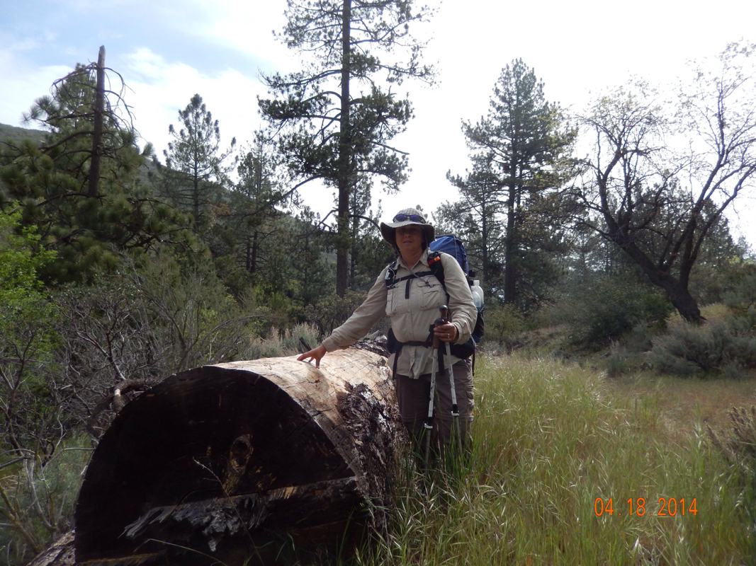
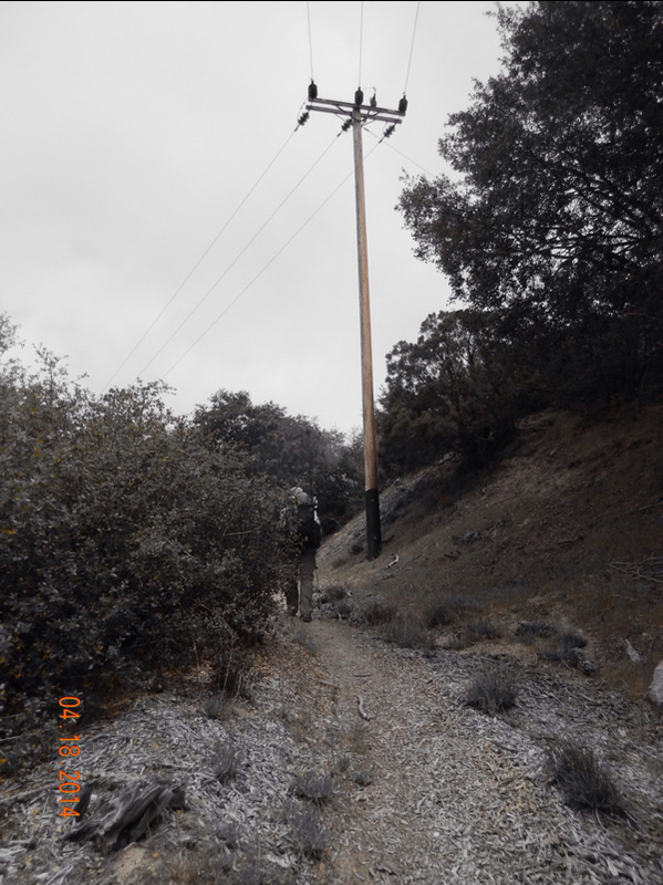
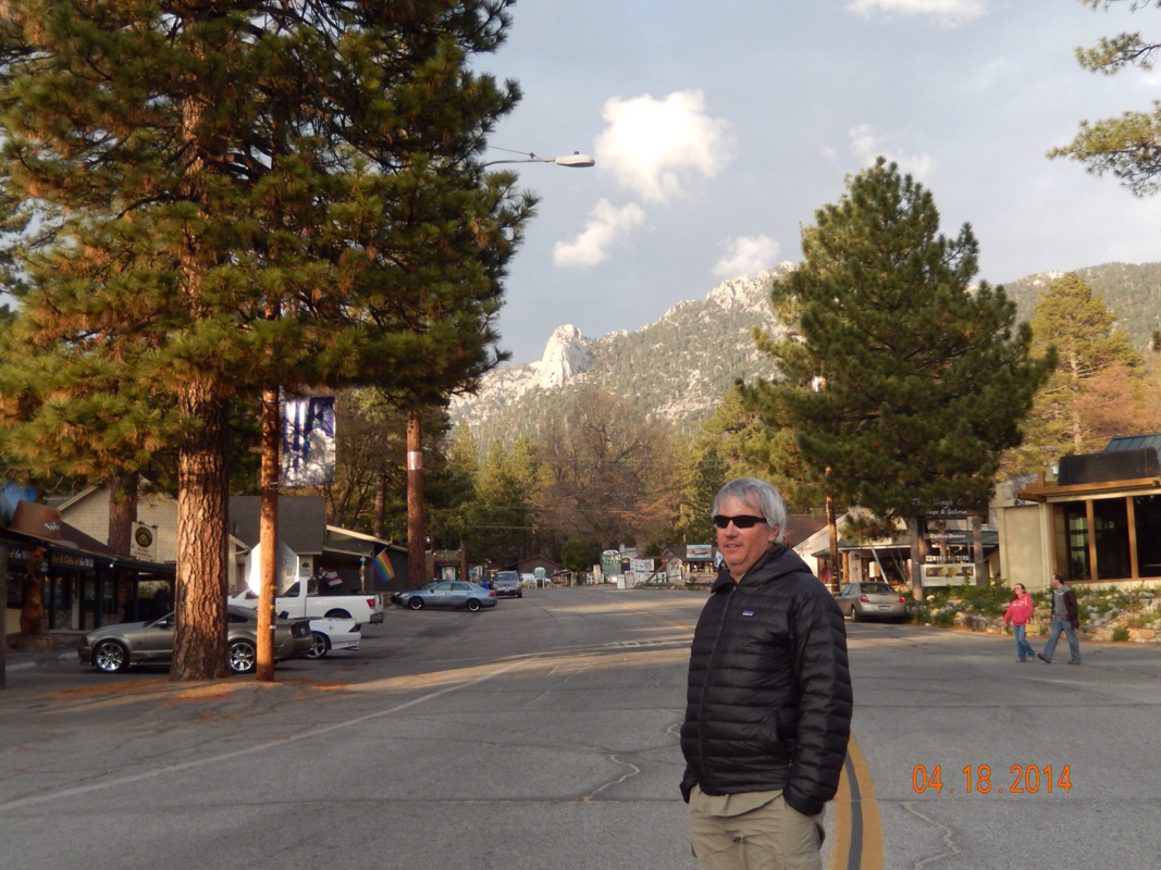
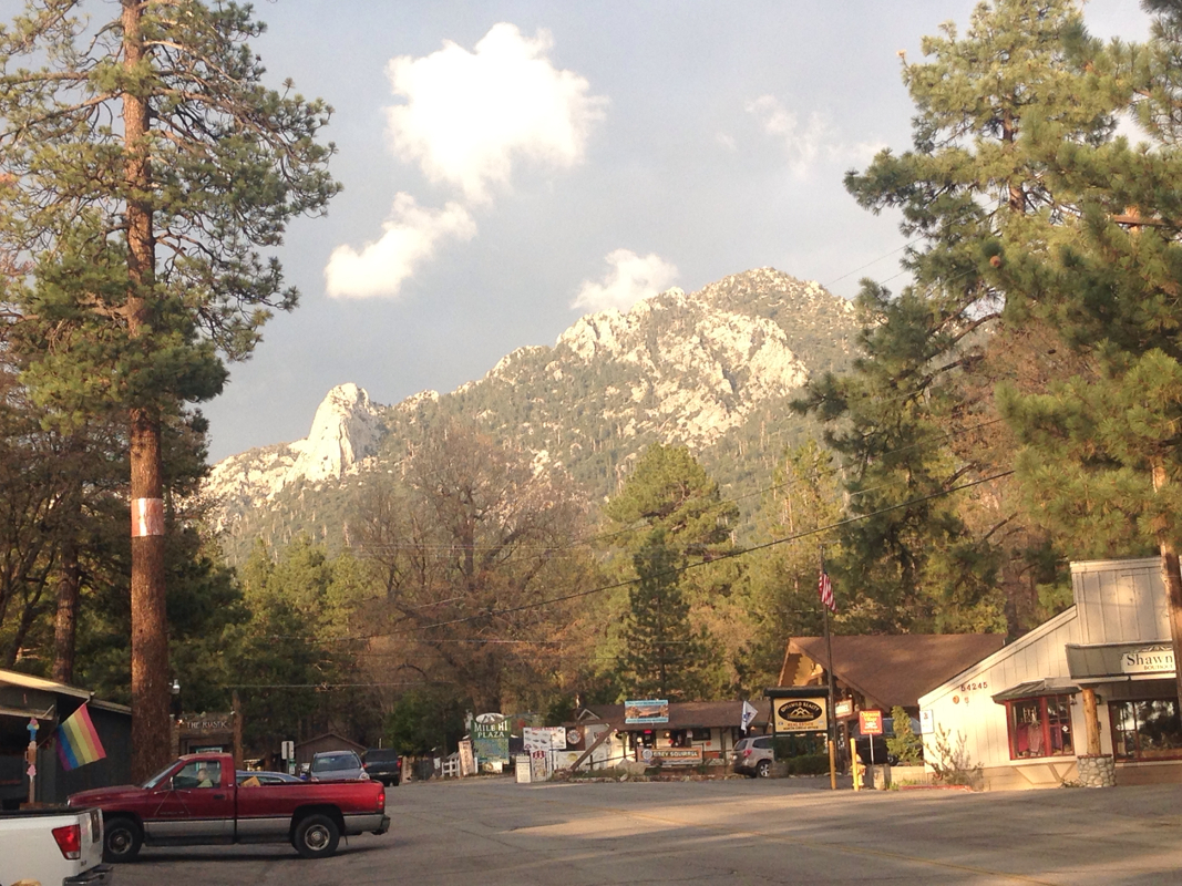
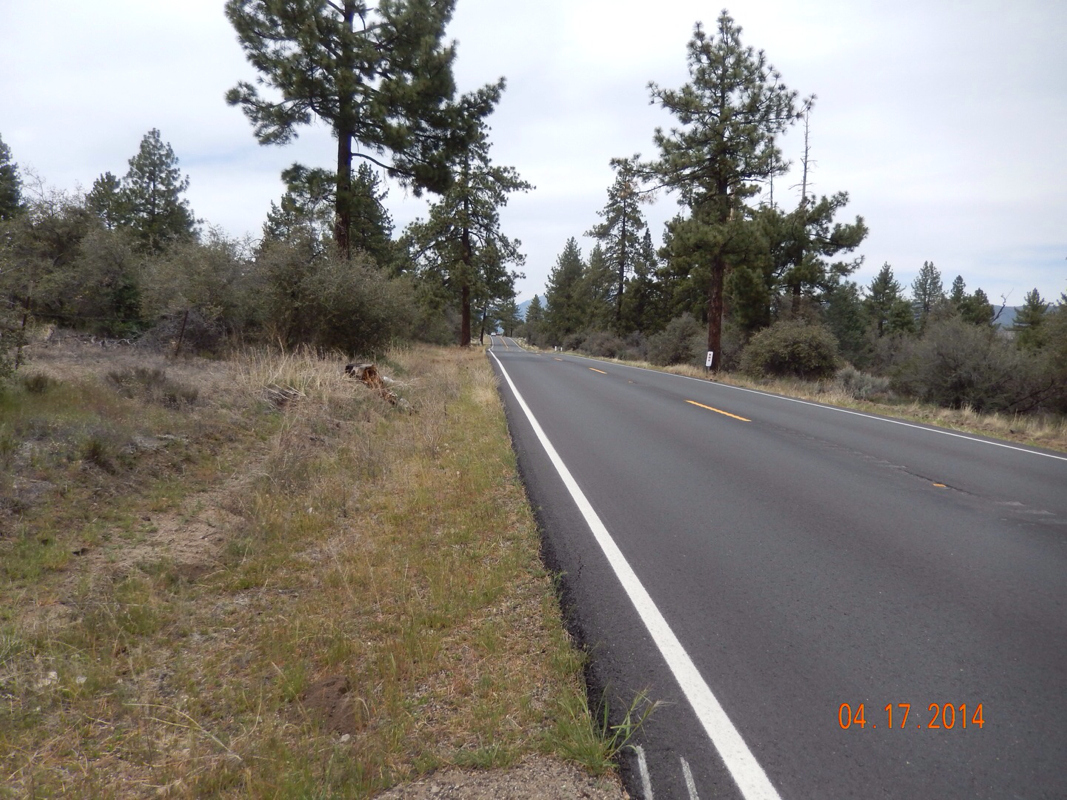
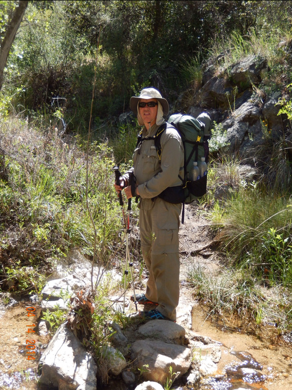
The trailhead is 2.5 miles from the center of town. To get there you head straight up a long and steep road. Now, most hikers get a ride to the trailhead, but since we have now committed to the "continuous tread from Mexico to Canada" we had to walk it. What made this even harder is that not less than 6 cars stopped and asked if we wanted a ride. Some guy working in his yard even offered us a ride! These Idyllwild people are so nice.

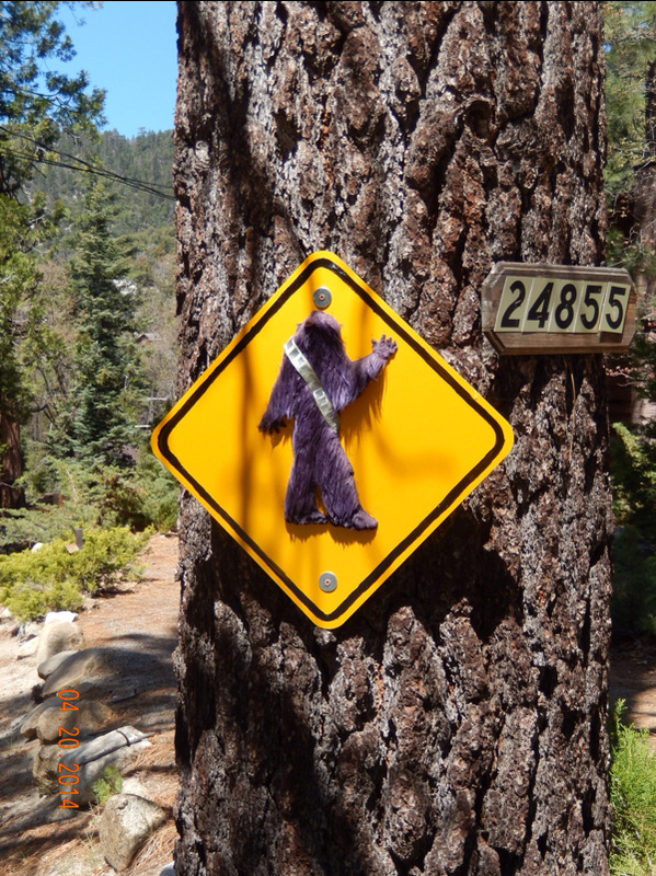
Oh...check out this cool Wookie Crossing sign we saw on the road up:

Picture
A little laughter makes the climb easier.

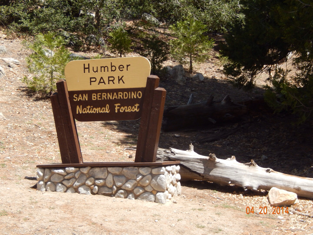
Finally, 2.5 miles later we reach Humber Park, the location of the trailhead.

Picture
Ahhhh...the trailhead.

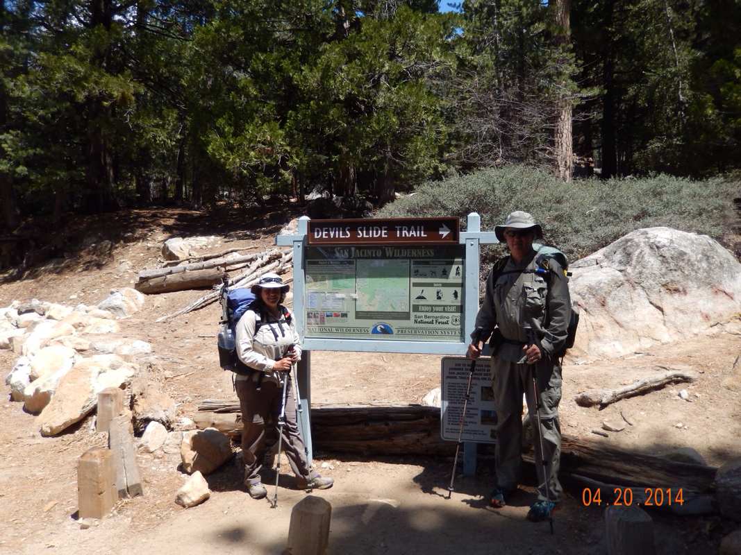
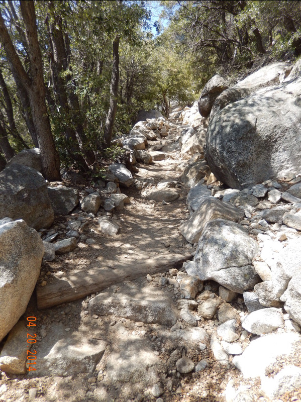
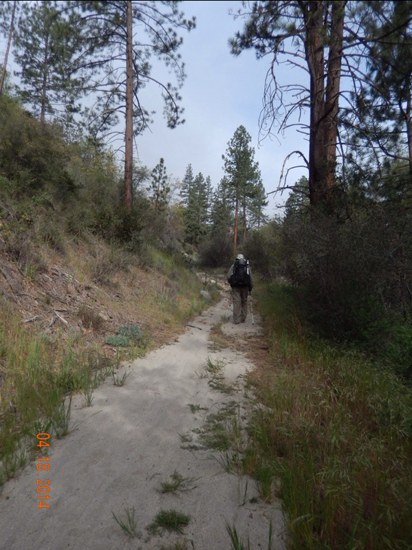
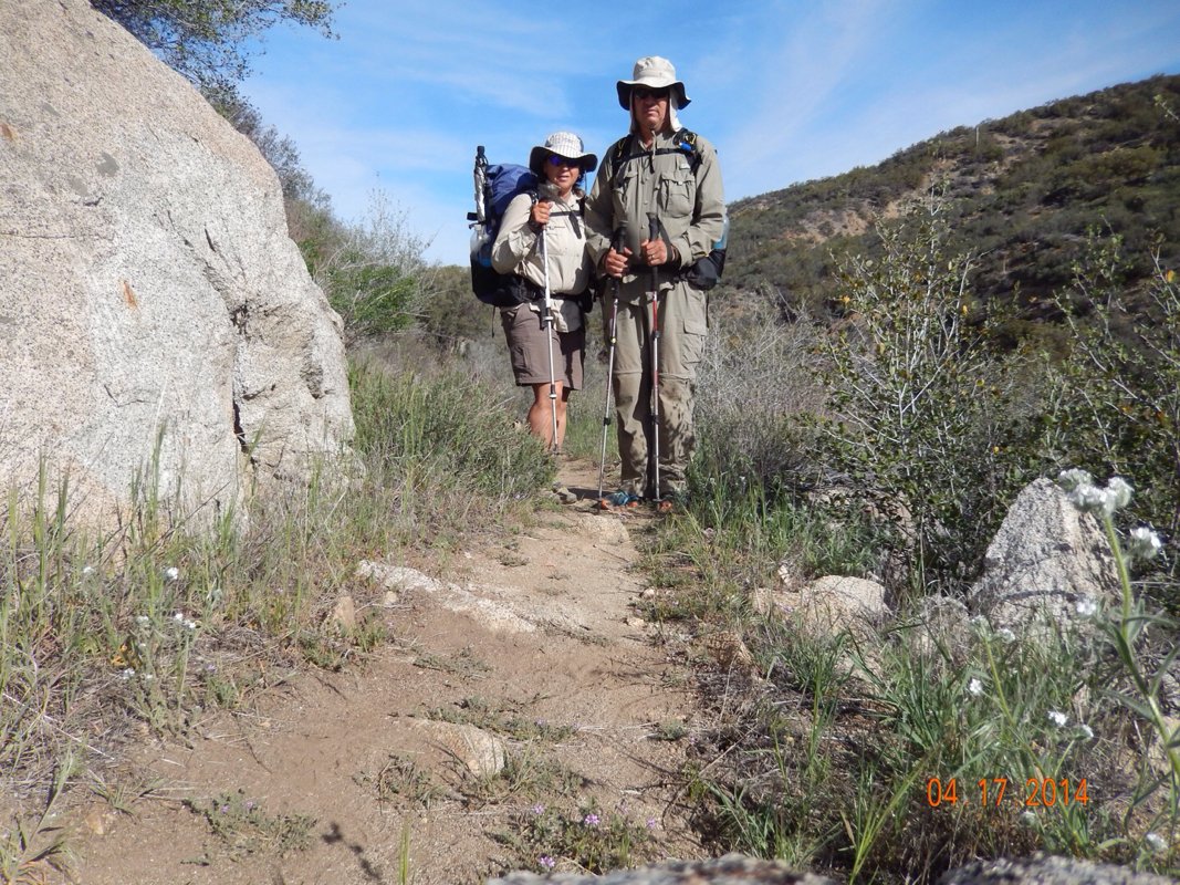
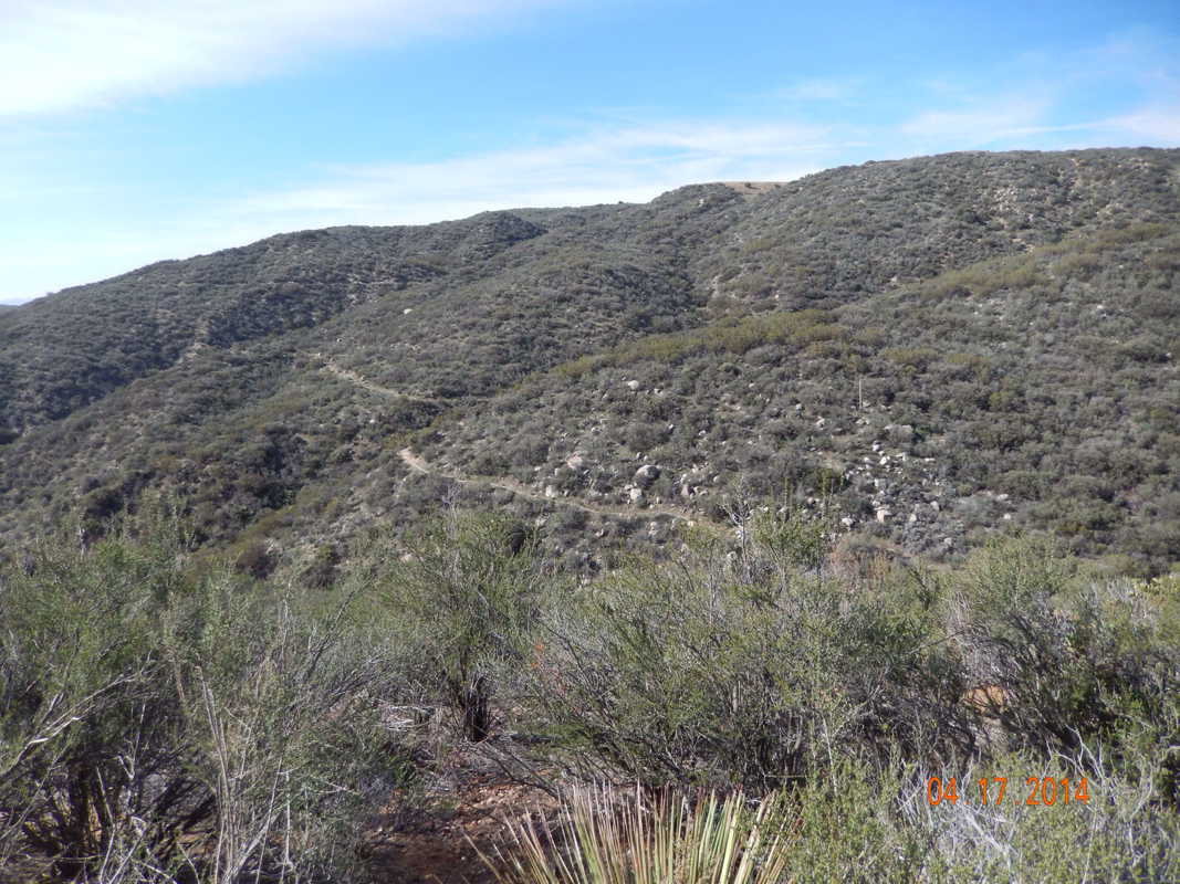
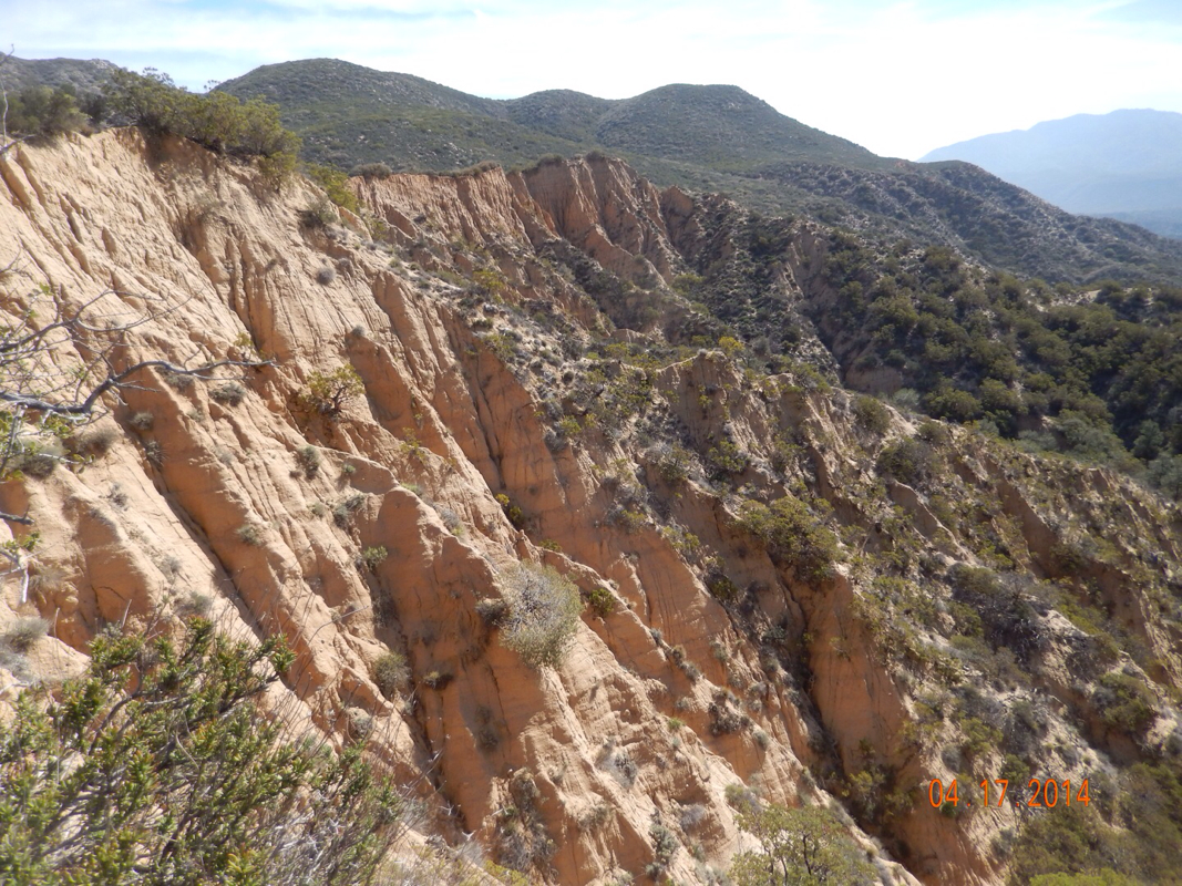
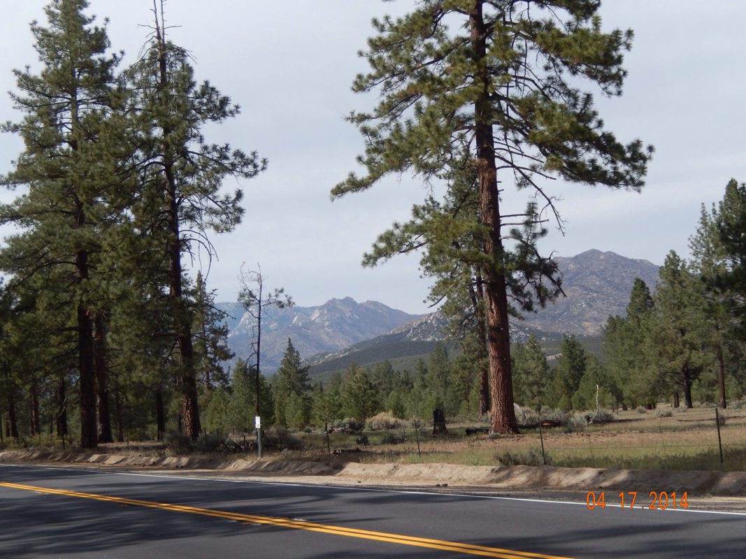
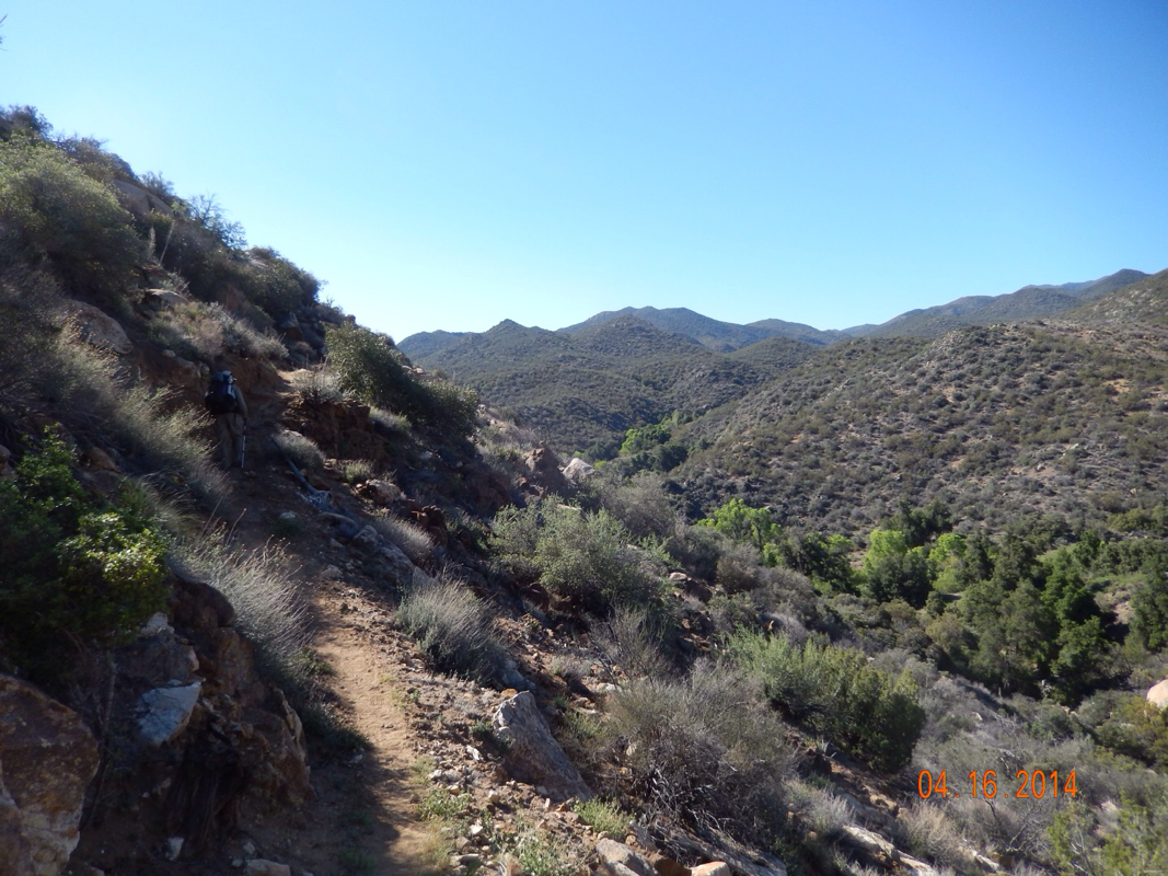
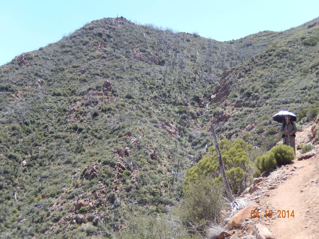
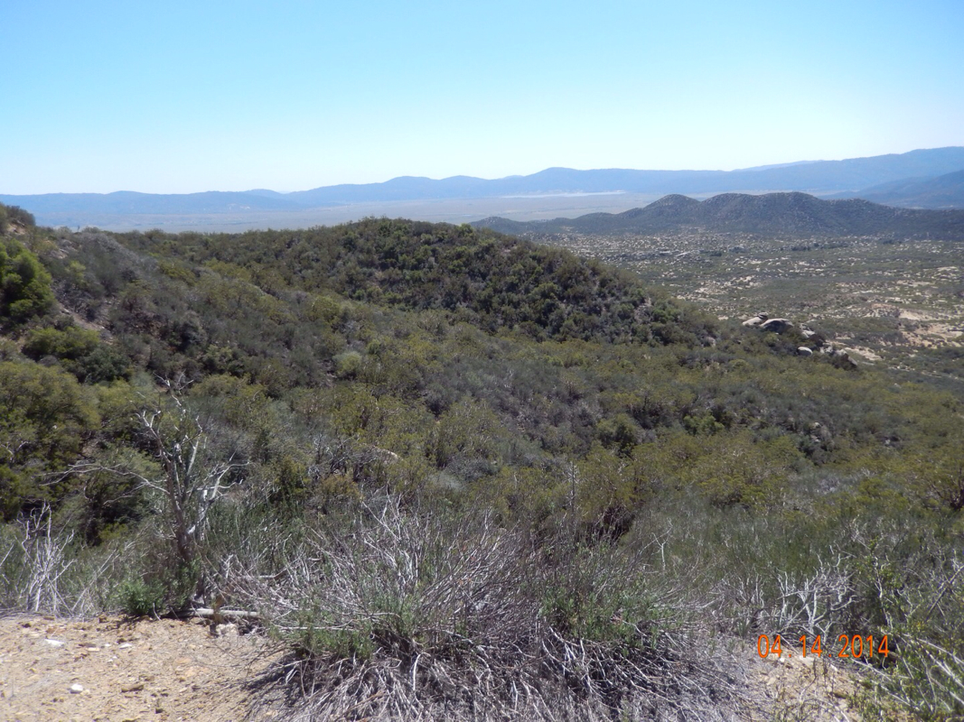
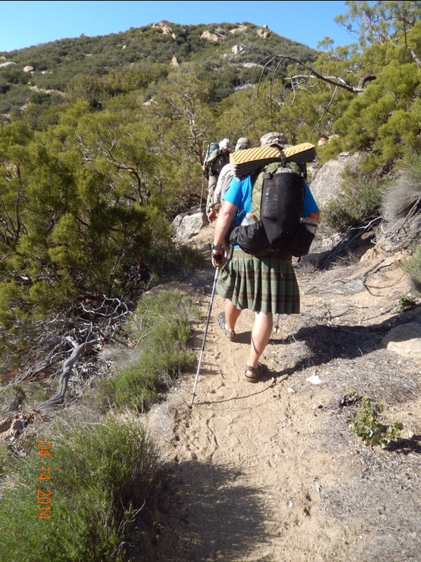
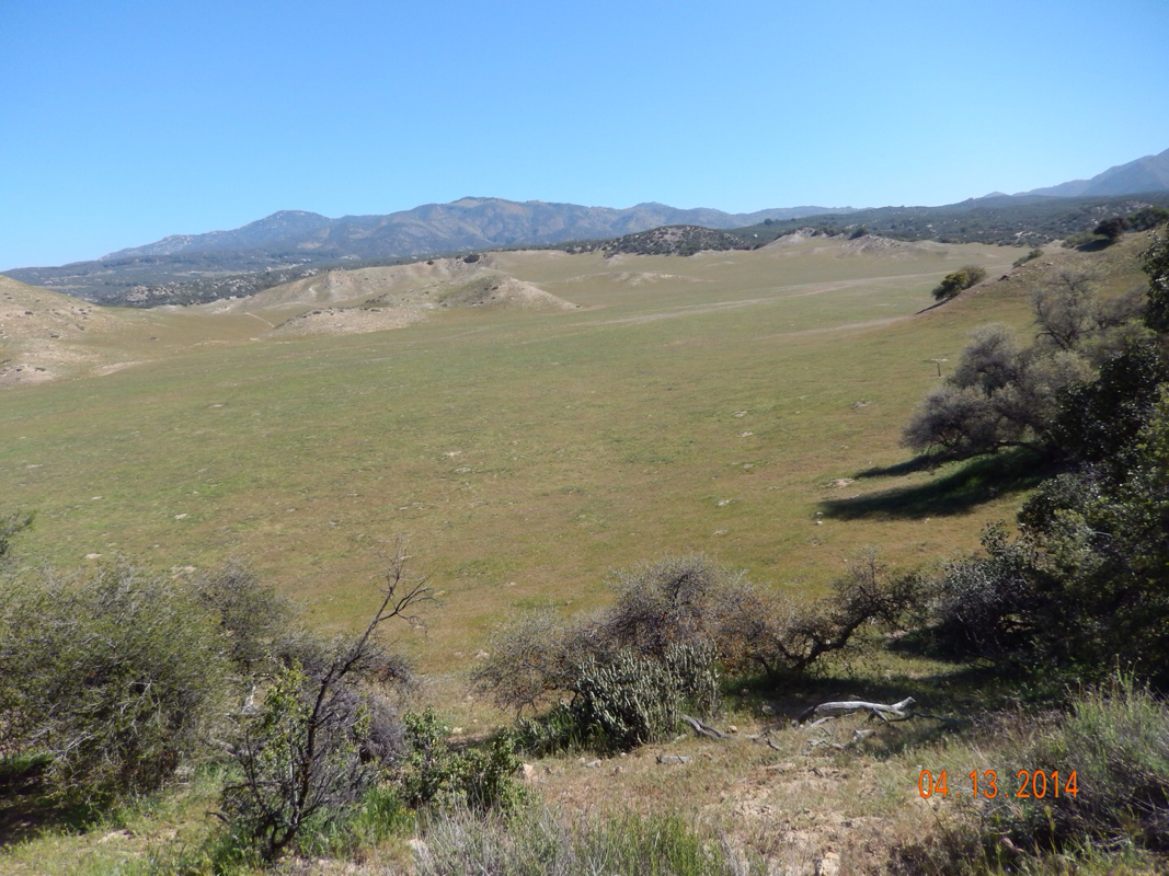
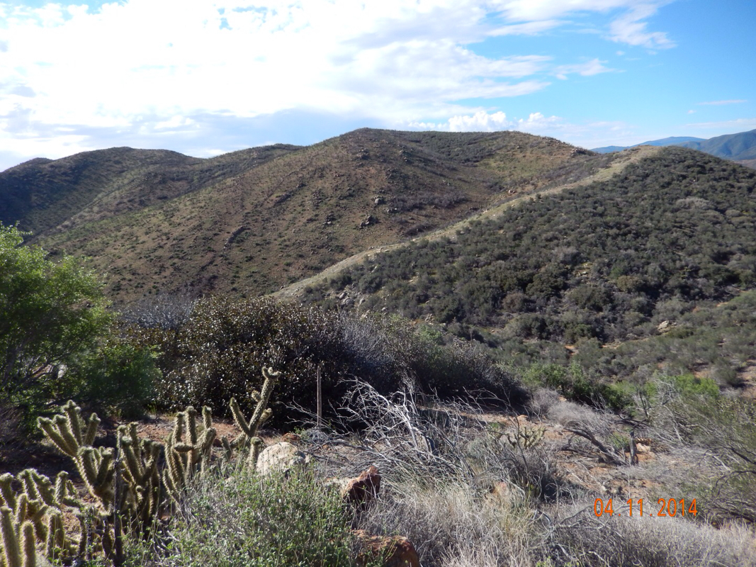
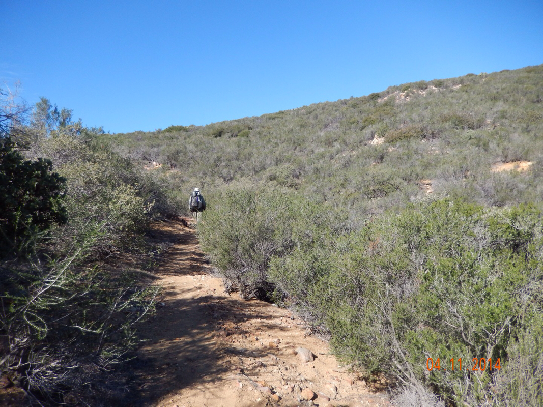
However, it is not time to celebrate. In front of us now is a trail called Devil's Slide. A trail that climbs 1600 feet in 2.5 miles.

Picture
With the name Devil's Slide it can't be an easy climb. 

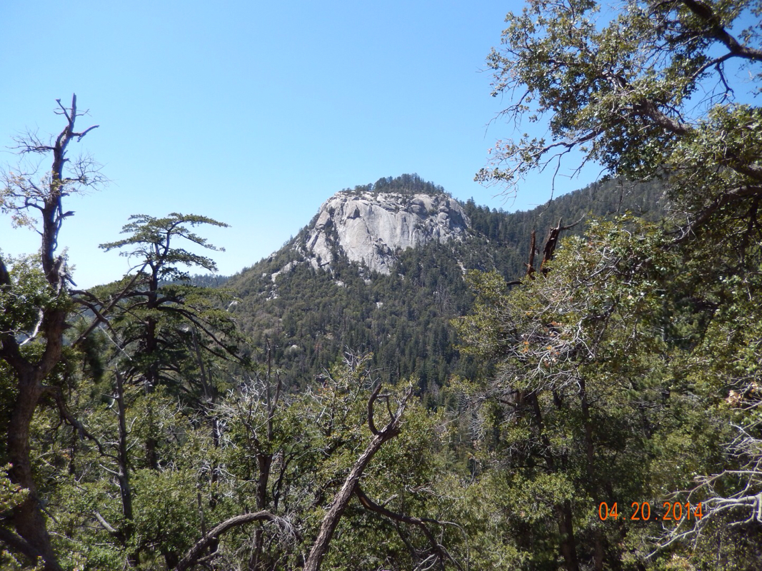
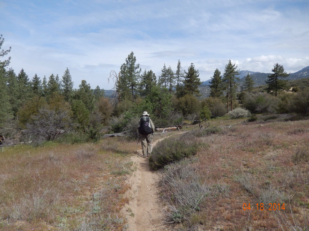
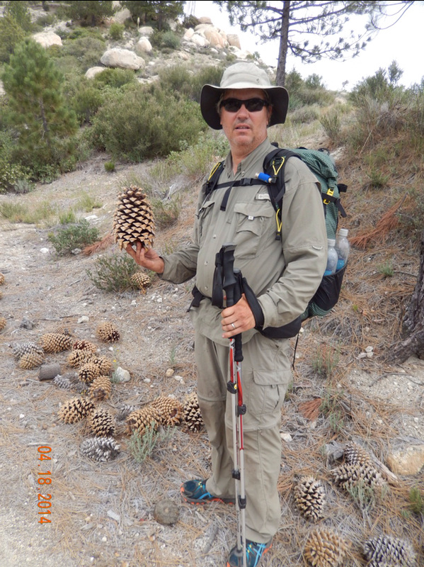
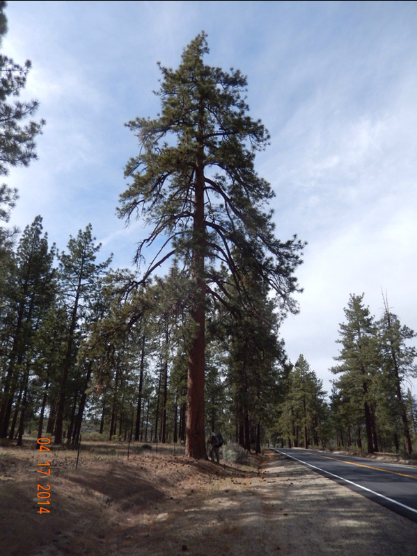
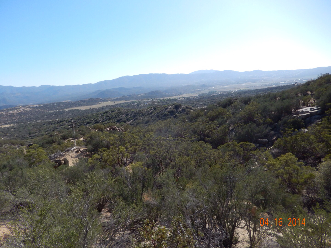
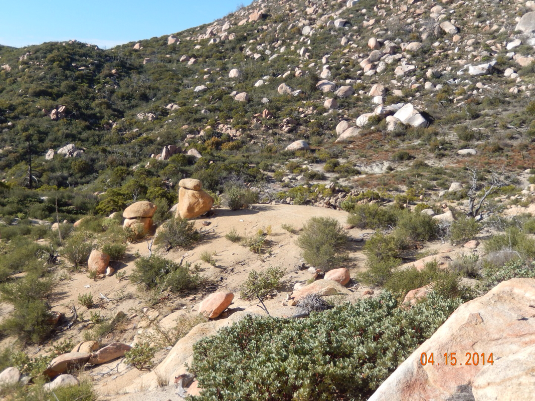
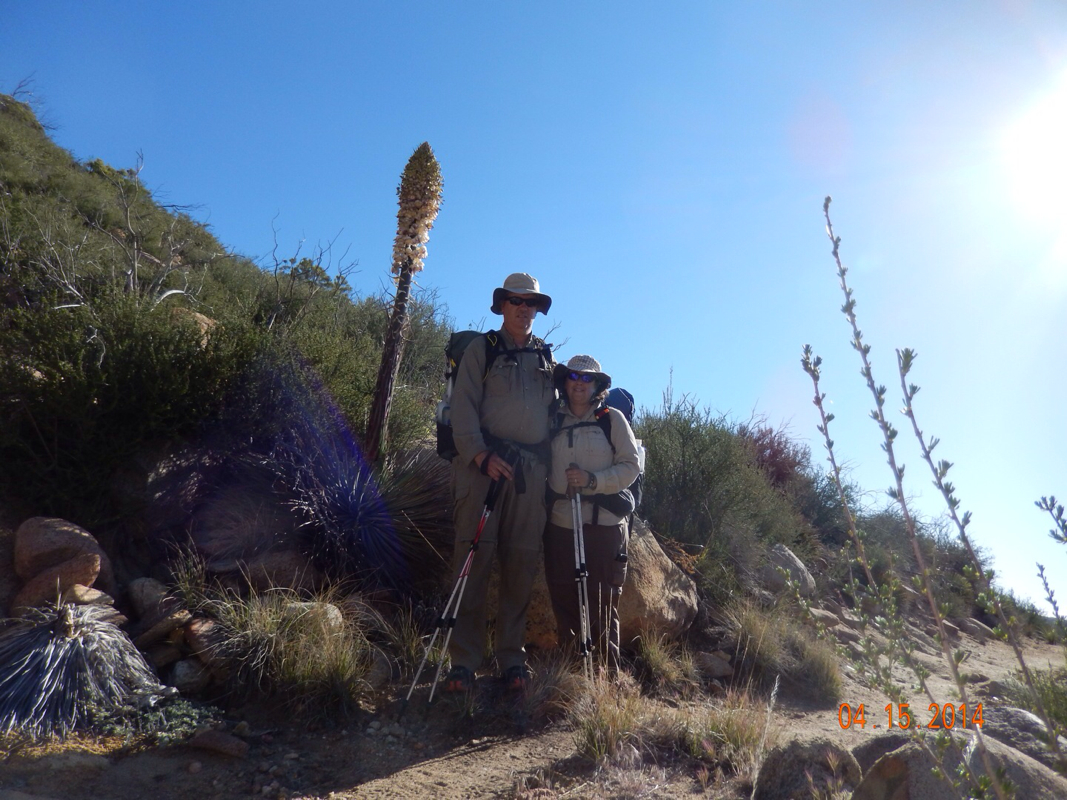
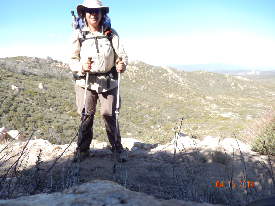
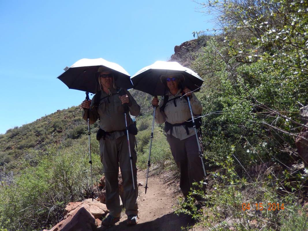
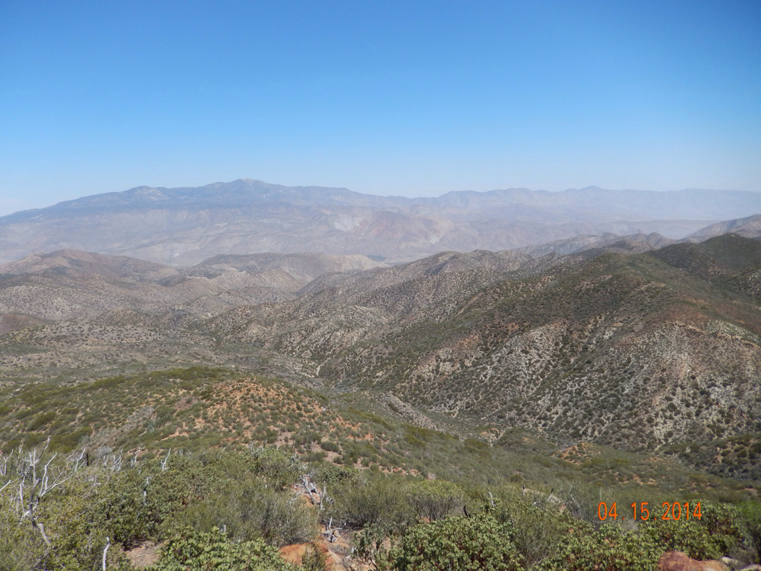
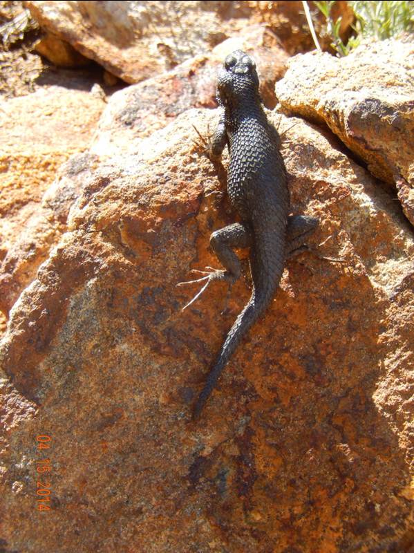
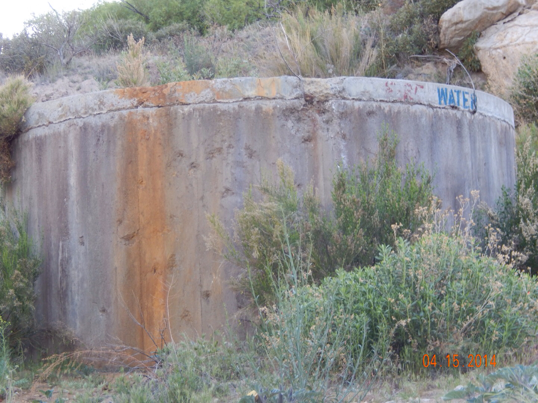
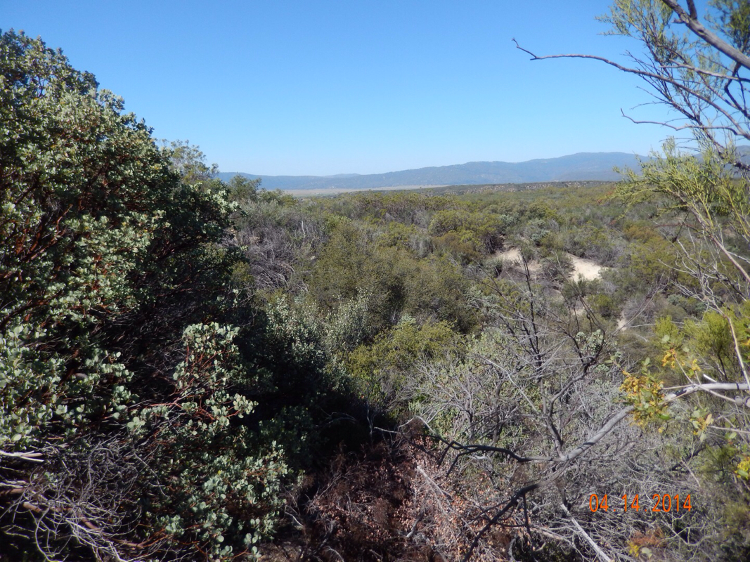
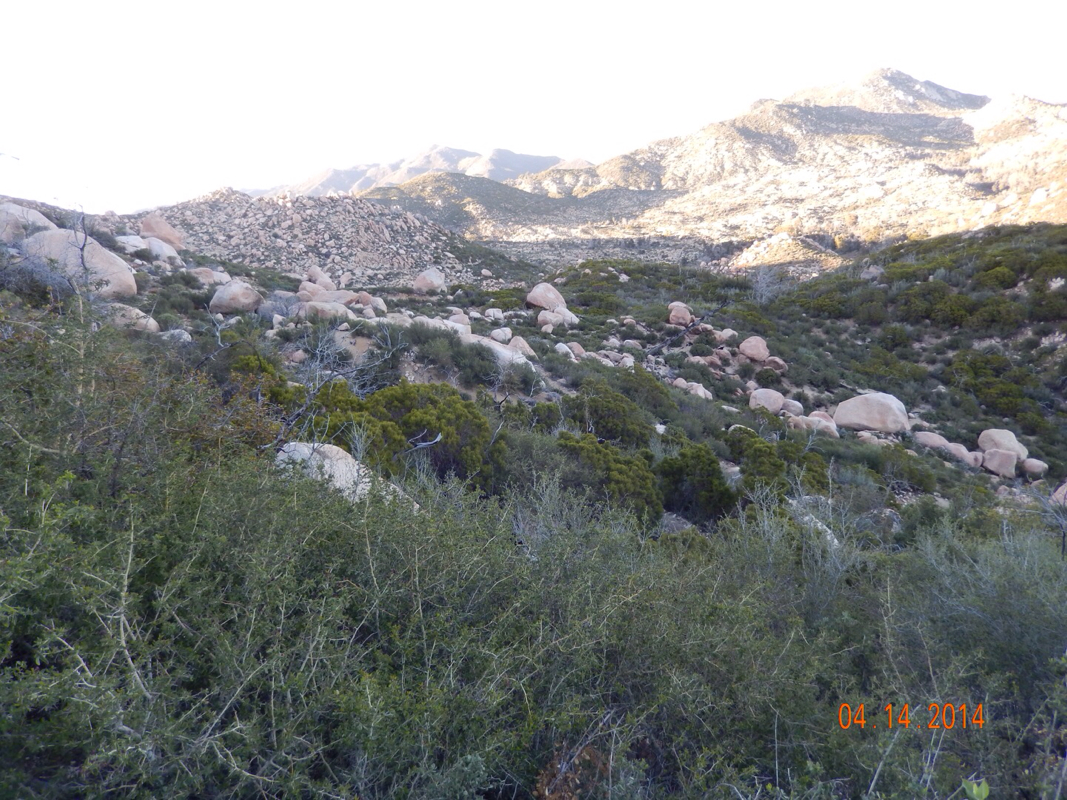
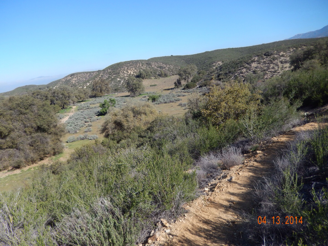
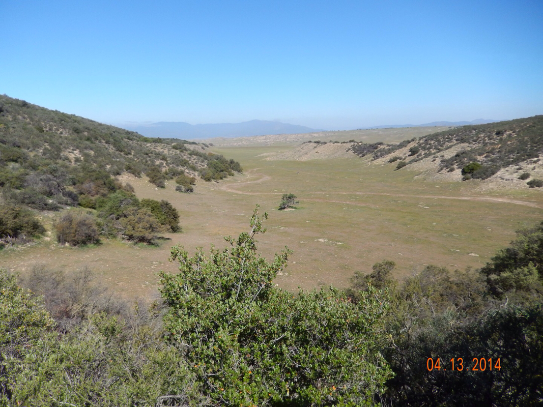
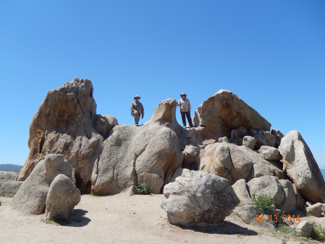
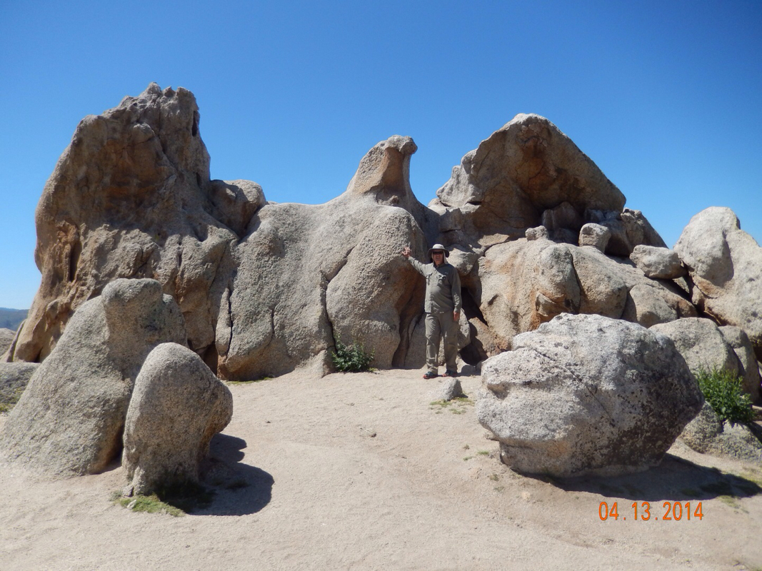
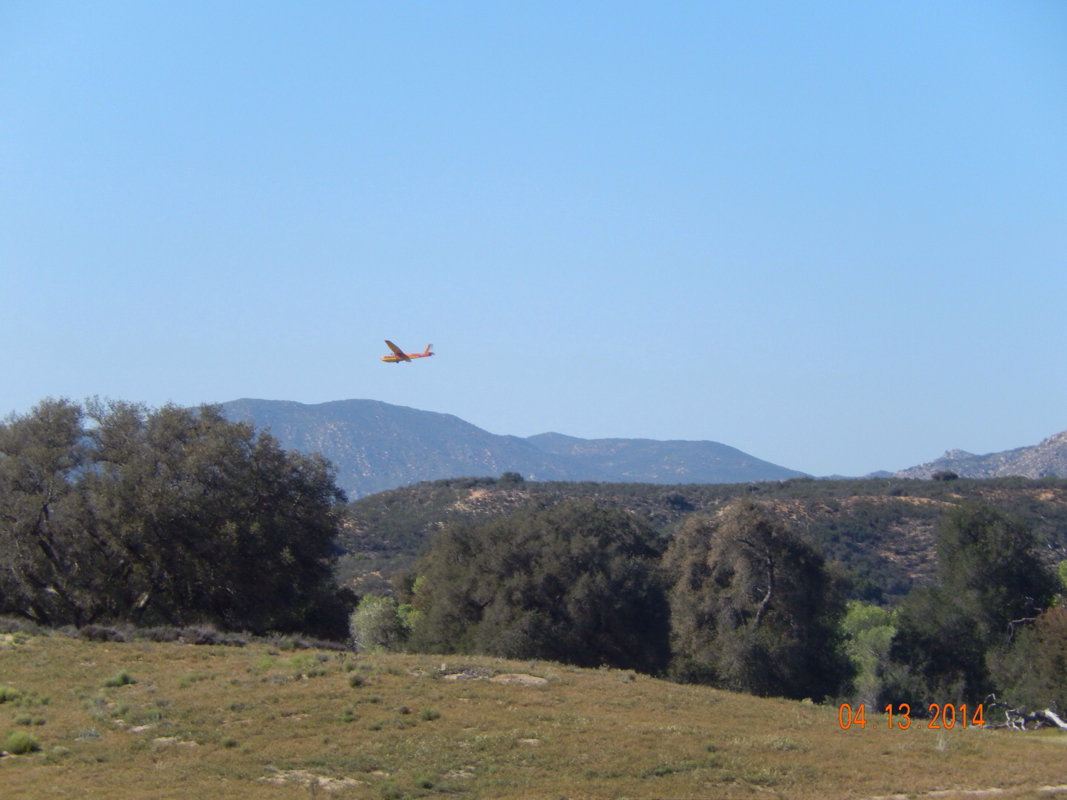
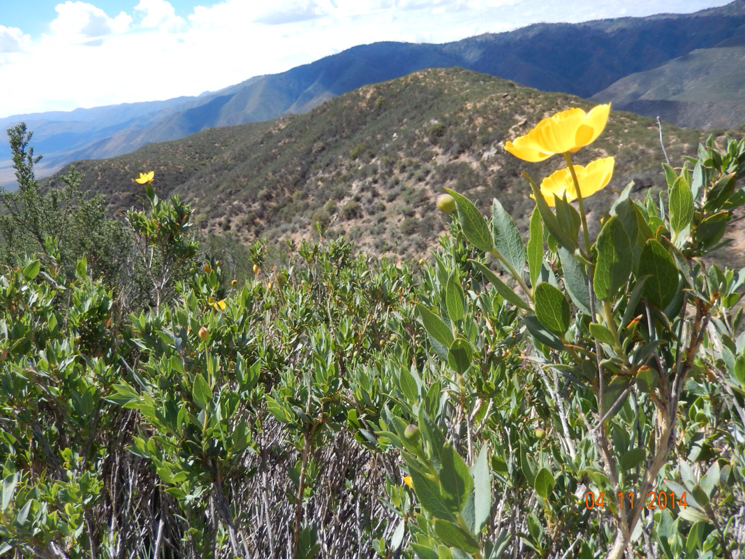
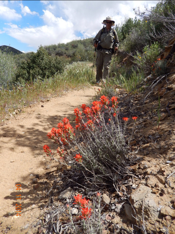
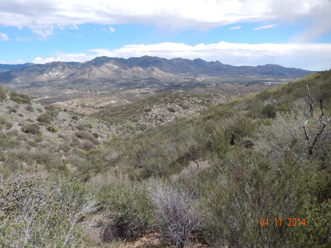
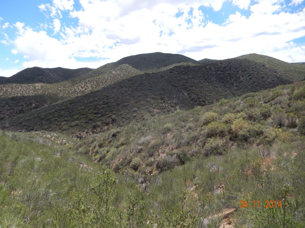
The climb was hard, but here are some beautiful views:

Picture
We saw this granite face down in town. Now we are almost level with it. 
Picture
Taking a breather. 
Picture
Steep trail ahead. 

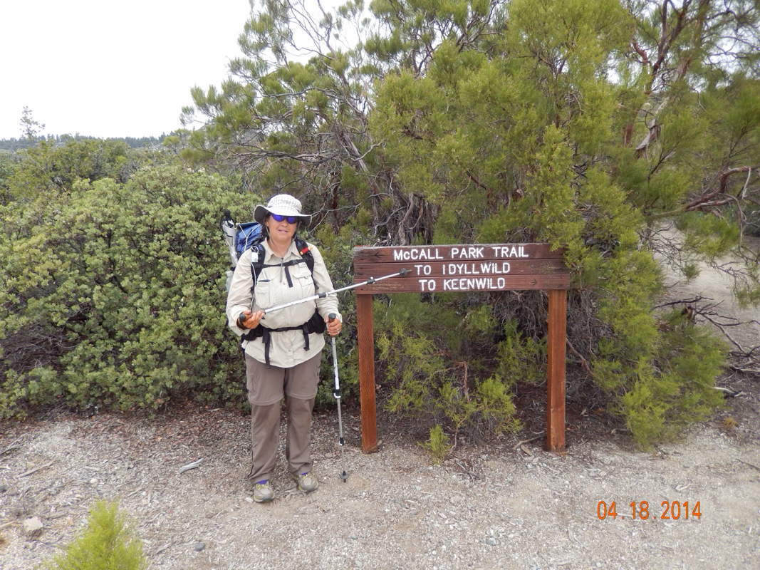
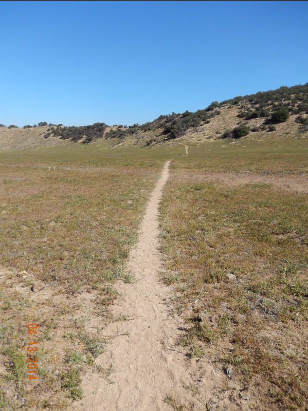
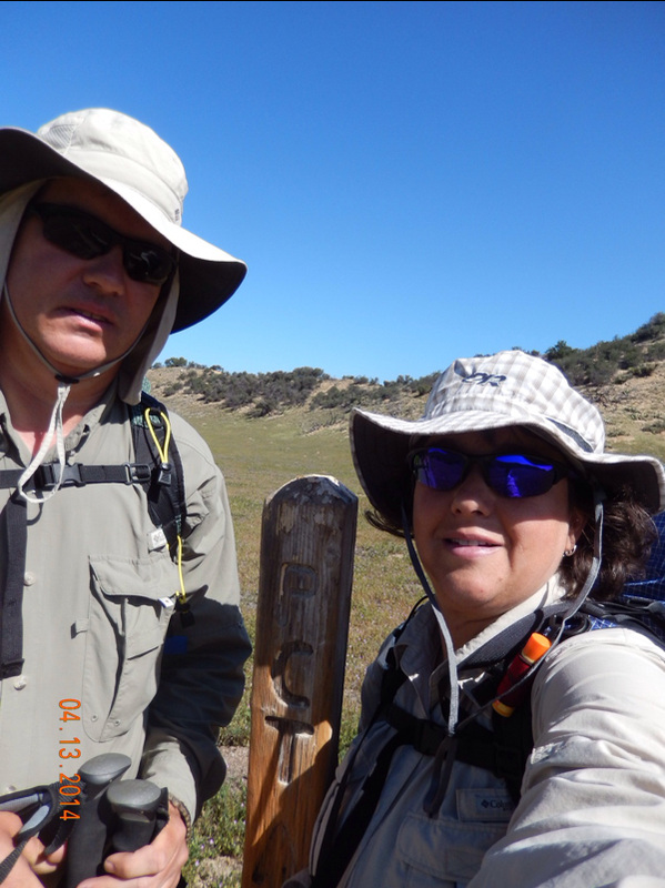
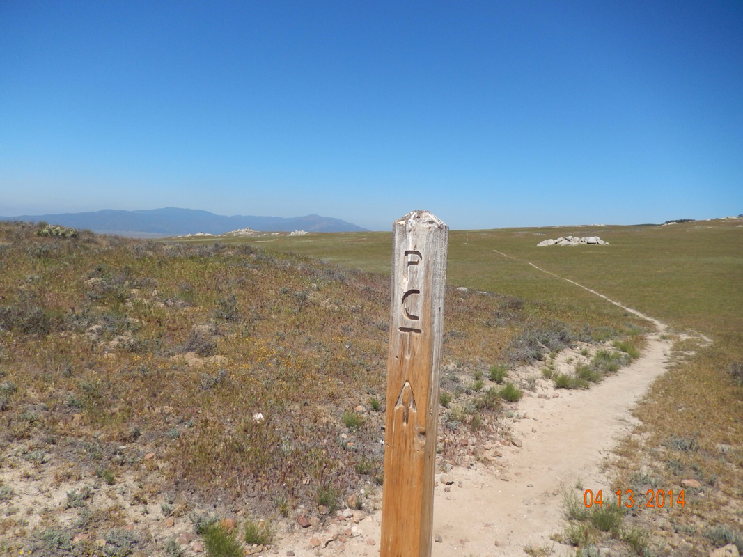
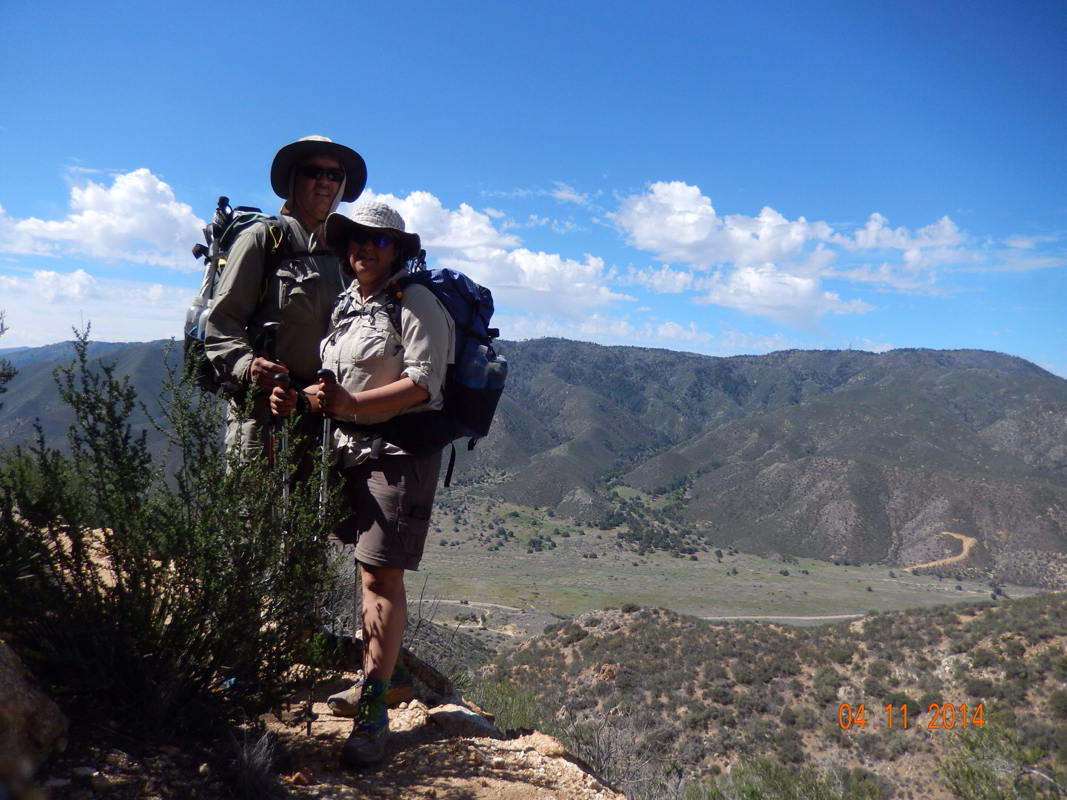
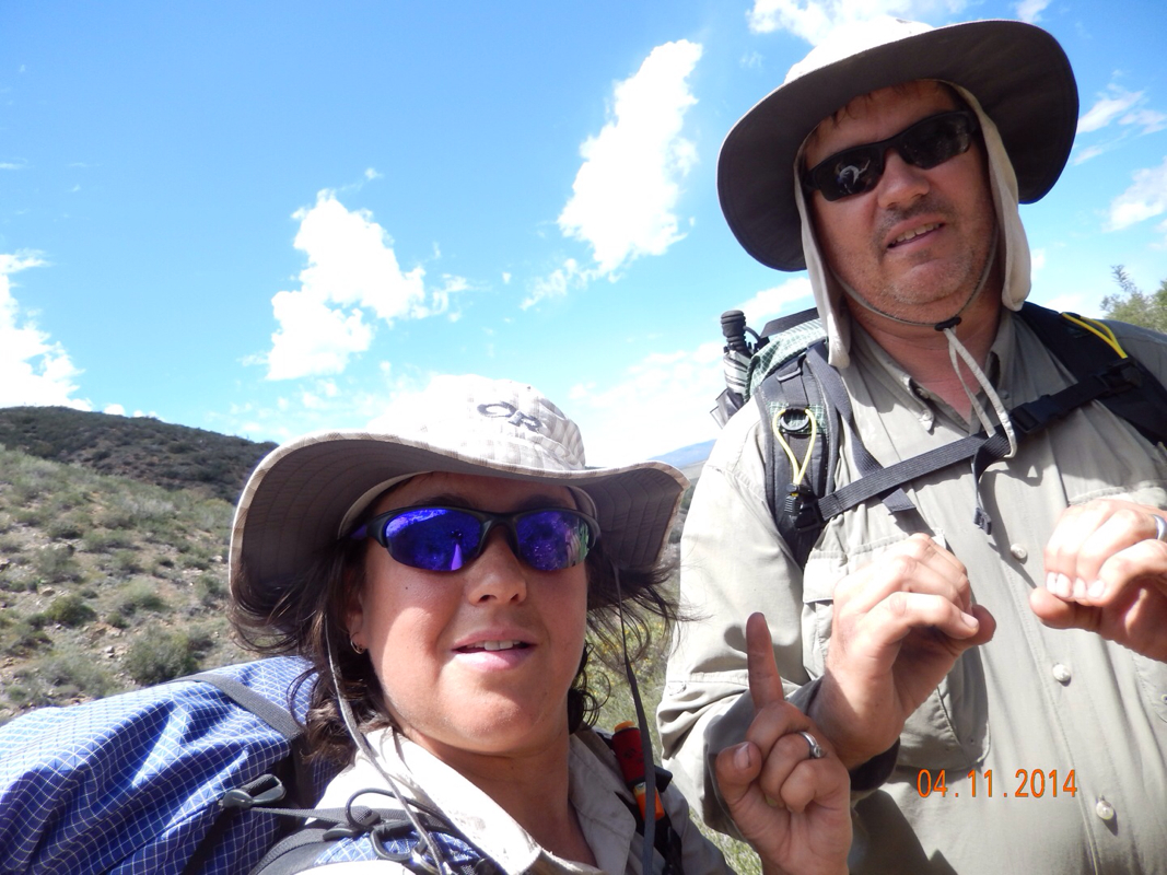
We finally made it to the top and rejoined with the Pacific Crest Trail.  Because of the detour and the zero day in town, we haven't been on the actually PCT for 3 days although we did hike over 29 miles off the PCT. 

This is now a good time to explain the mileage in today's blog title. We did not hike 30 miles today. We just rejoined the PCT 30 miles down the trail because of the detour. 

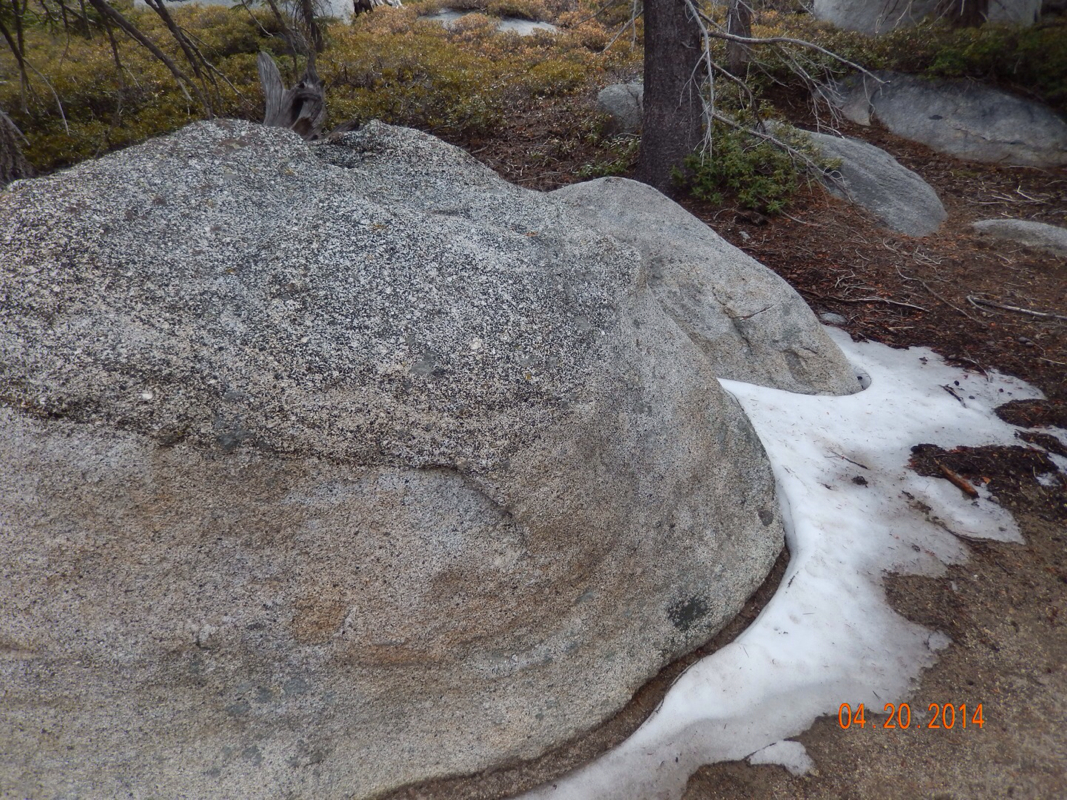
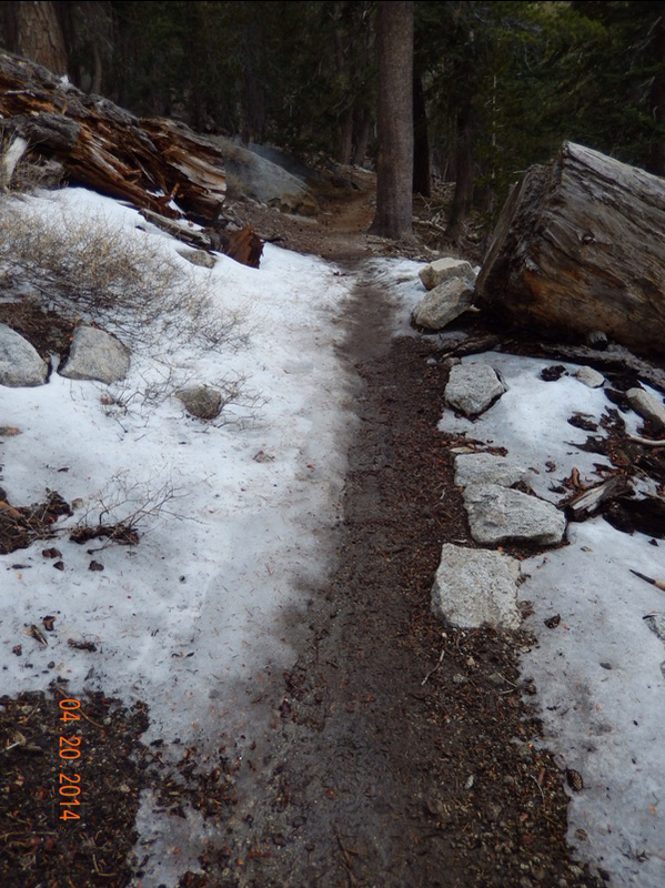
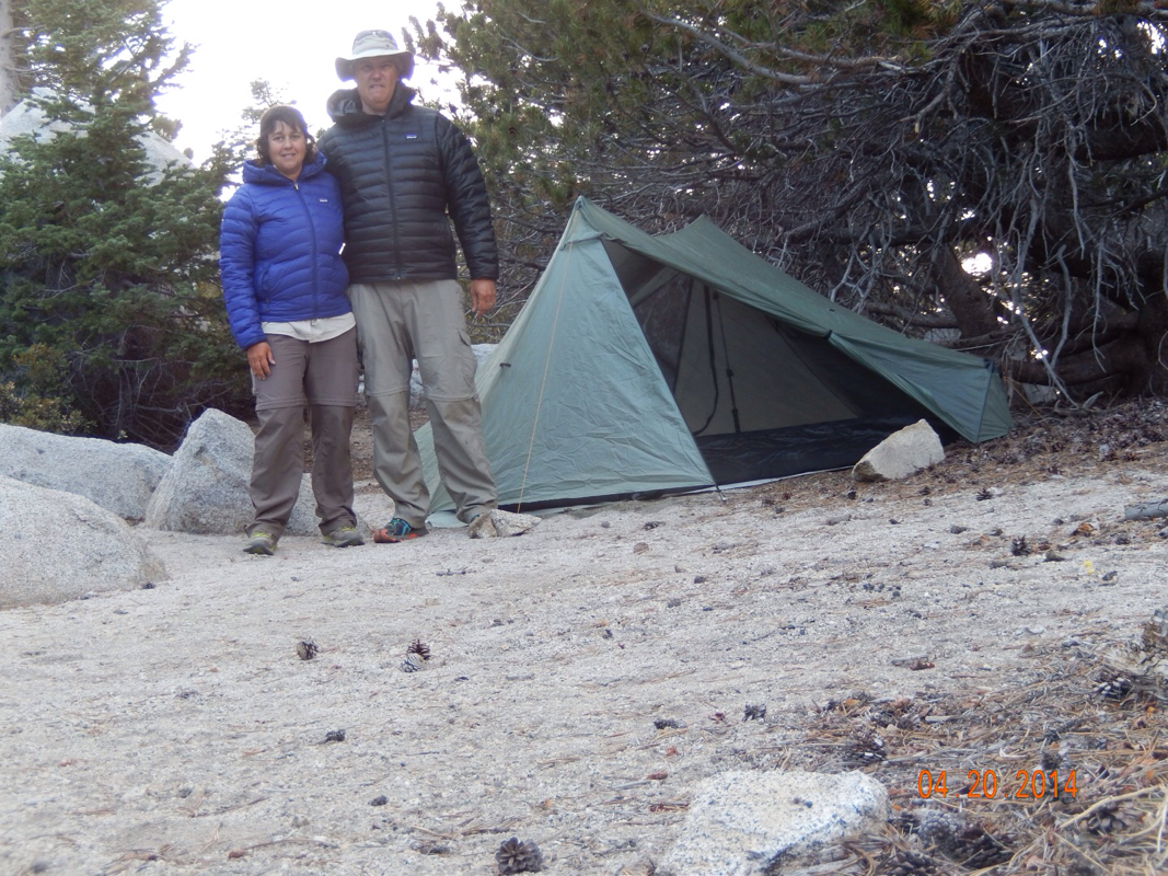
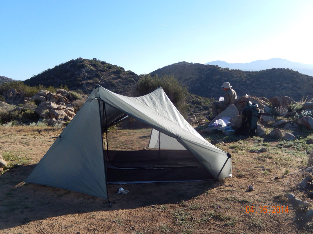
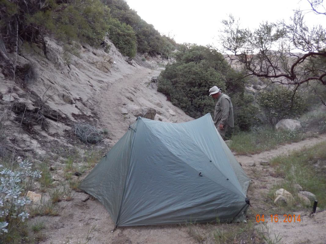
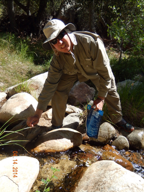
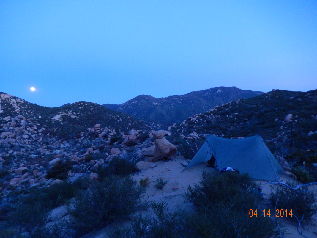
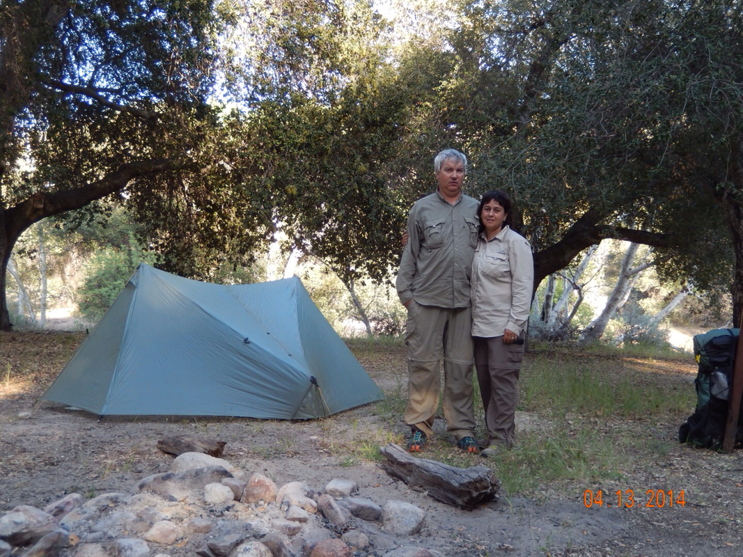
Anyway...we walked about 1.5 miles further to tonight's campsite at 9066 feet.  There was even some snow on the trail close to our tent. 

Picture
Picture

We are staying close to the trail that takes us up Mount San Jacinto peak tomorrow. This is another disagreement between Tim and I. I want to climb the peak, but Tim doesn't. We will see who comes out on the winning side tomorrow, but I have a feeling there will be some great peak pictures in tomorrow's blog!

All in all, today was one of the hardest days cardiovascularly with us climbing all day for nearly 7 miles, and gaining 3,721 feet in elevation. We should have no problems sleeping.

Picture
0 Comments

Day 18 (19 April) - Mile 151.86

4/19/2014

1 Comment


Idyllwild, CA

We spent most of our day off in our room relaxing and resting our tired feet and legs. We did go out for lunch and we needed to do a bit of shopping for new socks and food for the next few days on the trail. Other than that we just watched some TV and enjoyed the wood-burning fireplace in our hotel room.

Picture
Loving the fireplace in the room.

Tomorrow we have less than 7 miles to hike, but it is a lot of climbing. Should make for some great pictures though. 

Until then...

1 Comment

Day 17 (18 April) - Mile 151.86 (Plus 10 mile detour) - Additional 10 mile detour

4/19/2014

0 Comments


Hurkey Creek Park to Idyllwild, CA

We woke up feeling better about today's hike then yesterday's especially knowing that we would be checking into a hotel. Today we should have less highway walking and more trail walking. There is a mountain bike trail that leads out of this campground that runs parallel to Highway 74 and then another trail that heads up to Idyllwild. So off we went. 

We found the mountain bike trail with no problem and just made sure it kept following the highway.

Picture
Much better than the road walk.
Picture
That was a big tree. 
Picture
Beautiful pines with the mountains in the background. 

After a couple of miles we noticed the trail was heading away from the highway, so back to the highway we went. We did have to climb a fence first.

Picture
Hum...is this private property?

We only had to walk the highway for about 1 mile then we turned up a side road that after about another mile (straight up) we came to this trailhead:

Picture
Take us to Idyllwild and the hotel room. 

The traill lasted a few miles and mostly followed the power lines up to Idyllwild.

Picture
Powerline trail.

Even though we were anxious to get to town, we did stop and smell the pine cones.

Picture
Pine cones the size of your head.

We finally made it to the outskirts of town and eventually made our way to the center of town. 

THOSE WHO THOUGHT WE SHOULD TAKE THE RIDE FROM PARADISE VALLEY CAFE TO IDYLLWILD CONTINUE HERE. 

We made it to our hotel in Idyllwild and was welcomed with a great sign:

Picture
Idyllwild Inn - Very hiker friendly. 

We go to check in and they don't have our reservation. What?  We made reservations yesterday for 2 nights. We then figured out that today is Friday and our reservation is for Saturday. We thought it was Saturday today. Oops. We don't even know what day it is!  Anyway, Laura called around town and found a place with a vacancy for tonight and we will go back to the Idyllwild Inn tommorow night.  

First things first, shower and then laundry. So we showered and jumped into our raingear. Huh?  What?  That's right. All of our other clothes are dirty, so off to the laundromat we went in our raingear.

Picture
Only way to do laundry.

You have to check out these pictures of Idyllwild!  Just like a postcard. All these pictures are taken in the town center looking in different directions.

Picture
Picture
Picture

Needless to say, we are going to stay here 2 nights and enjoy the rest. But, before we get to sleep there is one place we needed to check out:

Picture
Great beer selection!

Now with a yummy beer in our bellies we will enjoy a good nights sleep showered, clothes washed, and in an actual bed.

0 Comments

Day 16 (17 April) - Mile 147.66 - 151.86 (Plus 10 mile detour)

4/19/2014

1 Comment


Unnamed Location on Trail To Hurkey Creek Park, CA

We woke with some excitement since we were going to be at Paradise Valley Cafe for lunch...it's the little things these days that get us motivated to hike. By the time we got up, our campmate, Rob, was long gone. His goal was to make it to the cafe for breakfast.

Picture
All smiles to start the morning hike.

We figure that if we were going to a road then the trail should be headed down, which was the case for a few miles, but then we started climbing.

Picture
Looking back at the trail we came down. Picture taken as we headed back up.

As we are climbing we have this great view of a very different landscape from what we've seen so far.

Picture
Nifty landscape.

Finally, after just over 4 miles, we see a side trail pointing towards Paradise Valley Cafe.

Picture
Trail to Paradise.

But, before we go there we have to cross Highway 74 to see the first big obstacle in our hike.

Picture

This trail closure gives us a few options, but first, before we make any decision, we must eat.

Back to the side trail, and 1 mile later...

Picture
The infamous Paradise Valley Cafe.
Picture
The Jose Burger (Swiss, jalapeños, guacamole, bacon (given to Tim)) and great beer.

Meal done, now decision to be made. The PCT is closed for most of the section from here to Idyllwild, CA. The PCT association, at this time, had not come up with an alternate route, so officially the current PCT route is to get a ride from Paradise Valley Cafe to Idyllwild and continue the trail from there. All the fellow hikers we talked to over the past week have decided to go this route.  Me, leaning more towards the purity of the hike, wants to have a continuous walking trail from Mexico to Canada. Tim, on the other hand, can go either way. 

Do you remember the "Choose your own Adventure" books?  This is your time to choose.

If you think we should bypass the detour and take a ride to Idyllwild then skip ahead to halfway through "Day 17".

If you choose to hike to Idyllwild and take the pure route then read on. 

WALK ON

So, off we walked, just minutes after watching another couple hiking the PCT get into a car for the 14 mile drive up to Idyllwild. 

We walked Highway 74 for 10 miles. My feet ached more today then they have the entire hike so far. I guess there was some "nice" parts of the walk. Here are the highlights. 

Picture
Nice shoulder to walk on, although it didn't last.
Picture
View of the mountains we would be walking in if it wasn't for the detour.
Picture
Very cool Lodgepole Pine.

One thing that got us through those 10 miles is that we stopped halfway through and made a hotel reservation for when we get to Idyllwild tomorrow afternoon.

We finally made it to our goal that day of Hukey Creek County Park campground where at least there was toilets and running water. 

Sorry, no picture of the campsite. We were so beat after that 10 mile highway walk that we didn't even cook dinner. We just ate some nut, setup the tent, and went to sleep. 

Part 2 of the detour tomorrow. 

NOTE: I didn't even write this blog the same day as I usually do. This was composed the next day.

1 Comment

Day 15 (16 April) - Mile 136.96 - 147.66

4/18/2014

0 Comments

 
Upaved Tule Canyon Truck Trail to Unnamed Location on Trail, CA


Last night my feet ached a bit all night. The past nights, when I woke up in the middle of the night, I would wiggle my toes and stretch my calves, ankles, and feet and all would feel great. Last night they kind of still ached. However, when we started hiking I felt fine. 


Oh yeah...I took a picture of our campsite this morning since I forgot last night.

Picture
Tim eating breakfast behind the tent.

Oh, there were also these cool flowers around the tent that opened up as the sun was hitting them. It's pretty amazing that these beautiful flowers are out here among the rugged desert landscape.

Picture
Wow!
Picture
Beautiful bloom.

Anyway, the hike today started easy with the trail meandering through the desert.  We actually saw some more barrel cactus today. I don't know why, but I think they are pretty cool. 

Picture
Nice trail.
Picture
Barrel cactus...far.
Picture
Barrel cactus...near.
Picture
Tim and I enjoying the morning hike.

Today, since we were walking across the desert, the day was all about water and knowing when the next water source is. We left camp knowing there was water only 2.5 miles away, so we only carried 1 liter each. We got to the source and this is what it looked like:

Picture
Weird water source.

It looked like a concrete grave in the middle of the desert, but under that domes cement is water. There was a hand pump, but it didn't seem to work, so we had to improvise.

Picture
Getting water from the opening on the other side.

Later in the day we came across a water cache that was much easier to deal with.

Picture
"Hiker's Oasis Cache" AKA "Anza Cache"

After leaving the Hiker's Oasis it was time for lunch, so we headed up the trail about 1 mile to what was described as a large boulder field hoping to find some shade.  We found just what we were looking for and ate and hung in the shade for over an hour.

Picture
Hanging in the shade for lunch (self-portrait).

After lunch we were treated to a new valley to look down on.

Picture
Another beautiful valley.

Then, a surprise...

Picture
What is this?

There is nothing in the notes about this water cache. So we went to check it out.

Picture
Wow!

There was a picnic table, garbage pails, water, and a hiker box filled with first aid, food, information on the next few miles of the trail, and the best part...postcards we can fill out and trail angels (again anonymous) would mail for you. So we dumped some garbage, grabed a bit more water, and filled out a postcard. 

We couldn't stay here long because there was no plan on where we would be camping tonight. The maps and guide showed no campsites for the next 10 miles and we only planned on going 4 more. So off we went in search of a flat place. 

We did find a couple, but they were in the area of medicinal marajana farms. Yes, you read that right. I guess this is something Anza, CA is now known for. Here is a picture of one. The marajana is grown in that white greenhouse looking structure on the left. I guess the guard lives in the RV?

Picture
Medicinal marajana grown here.

Needless to say, we were a bit nervous being that close to marajana, so onward we walked. And walked. And walked. OK...we were now done and couldn't find a place, then we went around a bend and walked down the trail and there was a flattish spot. After some landscaping on Tim's part we now have a campsite. 

Picture
Sleeping VERY close to trail.

Yes, that is the trail a mere inches from our tent, but it seems pretty level and nice inside. Another hiker (Rob) came by and is actually sleeping right beside us. And, right when we got in our tent another hiker was going by. It was Rocket Llama. She is a bit famous for almost losing her life last year in her attempt to complete the trail. Like Papa Bear who I told you about a week ago or so, she was caught in the early snowstorm in Washington last year and had to quit with only 400 miles to go. Now she is at it again. Hopefully we will meet her face-to-face tomorrow. She has quite a story to tell about getting lost in the snow storm and pretty much preparing not to make it out. For more info check out her blog entries from last year: http://www.trailjournals.com/entry.cfm?id=436497.

Good-night for now. Tomorrow we will make it to the Paradise Cafe for what should be a wonderful lunch.

0 Comments

Day 14 (15 April) - Mile 123.86 - 136.96

4/18/2014

0 Comments


Several Small Campsites Among the Boulders to Upaved Tule Canyon Truck Trail, CA

Although last nights campsite was picturesque, it wasn't the most comfortable. I was rolled into the side of the tent the whole night. I'm not saying that I didn't get any sleep. After all that climbing yesterday plus the heat, nothing was going to keep me from sleeping.

By the way, here is a picture of the site we pitched the tent without the tent on it:

Picture
Pretty crazy place to pitch a tent.

The day started out great, as usual. Some great views:

Picture
Morning in the desert.
Picture
Gerri self-portrait.

Plus we didn't have to carry much water since there was a water stop only 3.5 miles up the trail. That is where we saw this sign:

Picture
Sounds great!

So off we go. 100 yards later we come to this huge water tank filled with water that was ready to drink (no need to filter).

Picture
Now that's a water cache.

We decided to go down to the house to thank that owner of the tank and wound up with a little bonus morning drink:

Picture
Tacate beer makes for a better morning hike.

After about an hour talking to the caretakers and other hikers, we left with still 10 miles to hike. Yes, we are trying to only hike 10 miles a day, but we found that campsite locations and water locations drive the mileage per day.  As soon as we got back on the trail we saw this sign:

Picture
Only 25 miles to Paradise.

Paradise Cafe is the next PCT landmark we hit. It is supposed to be super hiker-friendly and have really good food. This is a great new goal. 

A bit further up the trail we turned around and got a view of Trail Angel Mike's property we just left.

Picture
Great view of a great rest stop.

It was a bit hot so we decided to try hiking with our cool umbrellas. Tim really liked it and continued hiking the rest of the day with it. Me, I used it for about 1 mile then put it away because I didn't like the way it obstructed my view. 

Picture
The fancy hikers.

The trail then went down for the rest of the day (about 7 miles), and still afforded us great views.

Picture
Beautiful views all day.
Picture
Tim with umbrella & view of downward trending trail.

Oh, check out this lizardy thing I saw today:

Picture
Desert lizard?

We also saw our first snakes. I don't know what kind they were, and I didn't hang out to take a pictures, but they were black with yellow stripes down their back. 

We finally made it to our end goal of the day, the Tule Spring which wound up being a large concrete holding tank with a hose a bit down hill from it. The water, although we did have to filter it, was cold and great tasting.

Picture
Water holding tank.
Picture
Hose to fill our water bladder.

I usually leave you each night with a picture of our tent, but I forgot to take a picture before getting into it. Let me just tell you that it is pitched on nice level ground and we expect to get a great nights sleep. 

0 Comments

Day 13 (14 April) - Mile 112.51 - 123.86

4/18/2014

0 Comments


Agua Caliente Creek to Several Small Campsites Among the Boulders, CA

Today started out sleeping in till after 7am and getting on the trail around 9:30.. As soon as we started it was evident that we were leaving the meadow behind.

Picture
The meadow is down there.

We then surprisingly came to a part of the trail that followed a stream. It looked a lot like hiking out east, and you would have never guessed that you were still in the desert except once in a while we would come across a cactus.

Picture
Tim crossing a stream.

Instead of relying on trail angels for water today, we got our water from Mother Nature.  Here is Tim collecting water for our filter:

Picture

Just after taking this picture I slipped on a rock and got my foot wet. First thought I had was, "Great, now I'm going to have to hike with a wet foot and possibly get a blister."  Then I remembered...we aren't in a hurry. So I took off my shoe and sock and placed them in the sun as we sat on a couple of rocks in the shade for about 1 hour as it all dried...no worries!

The only worrisome part is that the trail started going up. We climbed all afternoon for about 4 hours.

Picture
We really left the meadow way behind.

We then came to an interesting spring in the middle of nowhere. We used the bottle seen on the left to get the water into our water bladder that we then filtered. The water actually tasted pretty good and it was nice and cold.

Picture
Lost Valley Spring.

We knew our campsite was more uphill, so we decided to eat our dinner not far from the spring so we didn't have to carry as much water up to camp. A hot meal really hit the spot, especially after all that climbing. 

After "dinner" we continued to climb and got passed by Medicine Man, Victor, and Troll. Check out what Troll is wearing:

Picture
Troll hiking in a kilt.

I guess when you've completed a thru-hike of the Appalachian Trail and had once already thru-hiked the PCT, you can wear whatever you want. 

We finally reached the top of the climb and went around the bend to a view of a new valley. How beautiful is this?

Picture
Wow...what a view.

At this point we were pretty much done for the day, but had to continue on for 2.5 miles to what is reported as "several small campsites among boulders."  So we hiked up and down and meander among these high desert hills until boulders come into view. 

Picture
Our campsite is somewhere out there.

Finally we get to the boulder field and there are many other people there taking up campsites that we were hoping for. So, we kept walking the trail hoping to find something, then we saw it.  Wow!  What a place to pitch a tent! I just hope it is level enough in there to sleep.

Picture
The coolest campsite so far!
0 Comments

Day 12 (13 April) - Mile 101.22 - 112.51

4/18/2014

1 Comment


Mountain Valley Retreat, Ranchita, to Agua Caliente Creek, CA

We woke up to our last meal at the Mountain Valley Retreat...some kind of scrambled egg yumminess with a berry, agave, protein shake. We said goodbye to Sheri and George and Melinda drove us to the trailhead...BONUS!  What a great group of people. If we are ever in the area again we will definitely come back to this place and spend a few days. Here we are ready to go after a nice day off:

Picture
Refreshed and ready to go.

We were told that today's hike was supposed to be easy with very little climbing or decending. This is good, because although we were rested, our packs were very heavy. We are each now carrying 6 days worth of food (about 10 pounds) since we resupplied our food at the Retreat. This (supposed) easier terrain is just what we needed after our day off and our heavy pack, but what we saw wasn't looking that easy.

Picture
Where is the flat we were promised?

Then we saw it around the next bend. A beautiful meadow with the trail going right through it.

Picture
Ahh...a nice flat meadow.

We noticed that after the meadow it looked like the trail went back into the hills, so we enjoyed the 154 steps...yes, I counted...on the nice flat terrain.  We even stopped for a picture halfway through.

Picture
154 steps across to the other side.
Picture
Taking our time, enjoying the meadow.

So, we hit the hills thinking, "That was fun while it lasted." And then we went around another bend and...meadow for as far as we could see.

Picture
Feeling so happy at this point.
Picture
More meadow views.
Picture
And yet some more meadow views.

After a couple of miles of meadow walking we came across another famous PCT landmark...Eagle Rock. Wow! How cool is this!

Picture
Picture

After about the 9 mile point of the day we made it to Warner Springs. Up until a few years ago there was a resort that all the PCT hikers stopped at. The resort went bankrupt, so the town now keeps a Community Center opened in April and May for the thru-hikers...so cool!

Picture
Thanks Warner Springs!

We had to patronage the place:

Picture
Hamburger for Tim, Veggiburger for Gerri.

We stayed there for about 1.5 hours and rested our feet, ate, and used the computers and then set off for a couple more miles of beautiful meadow hiking and then a glider flew overhead. Remember earlier when I said we said goodbye to George at the Mountain Valley Retreat?  Well, he flys these gliders, so maybe that was him buzzing us.

Picture
Hi George.

Finally, we wound up at this great old campground right next to a flowing stream. It is private property, but PCT hikers are welcome. Again, so cool!

Picture
Why thank you property owner.

So we ate peanut butter and jelly on crackers, set up our tent, and are going to sleep to the sound of a stream.

Picture
Another great day!
1 Comment

Day 11 (12 April) - Mile 101.22

4/12/2014

4 Comments


Mountain Valley Retreat, Ranchita, CA

Ahhh. Our first zero day where we didn't hike a single mile. We walked into the Mountain Valley Retreat yesterday afternoon tired, dirty (VERY), and sore. Now, only 24 hours later, we are rested, clean, and feel ready to hike 100 more miles. It's amazing what a good meal, laundry, showers, massage, and a yoga class can do for you. This is the first year the Mountain Valley Retreat is catering towards thru-hikers. They offer a $100 package that includes a place to pitch your tent, shower, laundry, 3 meals, massage, and a yoga class.  Tim was a bit out of his element, but he really enjoyed his first ever massage and said the yoga class felt good on his sore muscles. 

Here are pictures of this place:

Picture
Picture
Laundry, bathroom, & shower facility.
Picture
Our tent set up next to the yurt that is used for yoga class.
Picture
Couples massage was great this morning.
Picture
Relaxing with nothing to do...and loving it.

Tonight dinner was served at 5:30 (pasta with mixed pepper red sauce & fresh salad) followed by a hot tub, followed by a refreshing shower. What a wonderful end to a wonderful day. Tomorrow we wake to breakfast and get to hit the trail again. We are so ready!

4 Comments

Day 10 (11 April) - Mile 91.19 - 101.22

4/12/2014

1 Comment


Third Gate Trail to Mountain Valley Retreat, Ranchita, CA

Broken record, broken record...another wonderful day on the trail. Our campsite last night was flat and comfortable. We went to sleep fairly early around 8:30pm but still slept until 7am. I know...that's a lot of sleep...but as the days get longer our sleep will get shorter as we seem to go to sleep when it gets dark and wake when the sun hits the tent.

Today's hike, for some reason, seemed greener than other days. It might just be because the last 2 days was typical desert...hot and tan colored.

Picture
Greener than usual?
Picture
Tim up ahead.
Picture
Enjoying the view.

We also saw some nice flowers today. Maybe they are ones we haven't seen yet.

Picture
Picture

Overall the hike was fairly easy today and we met and re-met many other thru-hikers along the way. This is Ian (no trail name yet) taking a lunch break in "Billy Goats Cave" (one of many landmarks along the PCT). He actually pulled out his stove and cooked a hot meal in there.

Picture
Interesting place for a lunch break.

Maybe today's hike felt easier beacause we were reaching mile 100 and we were walking towards the location of our first zero day (a day where you don't hike, just relax).   We came around a corner and there was the valley with Ranchita, CA. That is where our retreat is located...only a 5 mile hike from here.

Picture
Ranchita, CA in the valley below.

I don't know if you can see, but the trail we just hiked runs along these hills. I always think it's pretty cool to see the long trail behind and in front of us.

Picture
Part of the trail we completed.

Finally, at 1:30pm we hit the 100 mile point!  First we have a screen shot of Halfmile's app that tells you where you are on the trail, next is us holding up 1-0-0, and finally, because there wasn't a sign on the trail, I had to make one myself.

Picture
Picture
1-0-0
Picture
Sticks and stones - 100!

Just 1.19 miles later we left the trail and walked 1.8 miles to our home for the next day and a half, the Mountain Valley Retreat, where showers, laundry, home cooked meals, yoga class, and massage awaits.

Picture
Time to celebrate 100 miles and relax.
1 Comment
<<Previous
Forward>>

    Archives

    May 2014
    April 2014
    March 2014
    February 2014
    October 2013

    RSS Feed

Powered by Create your own unique website with customizable templates.