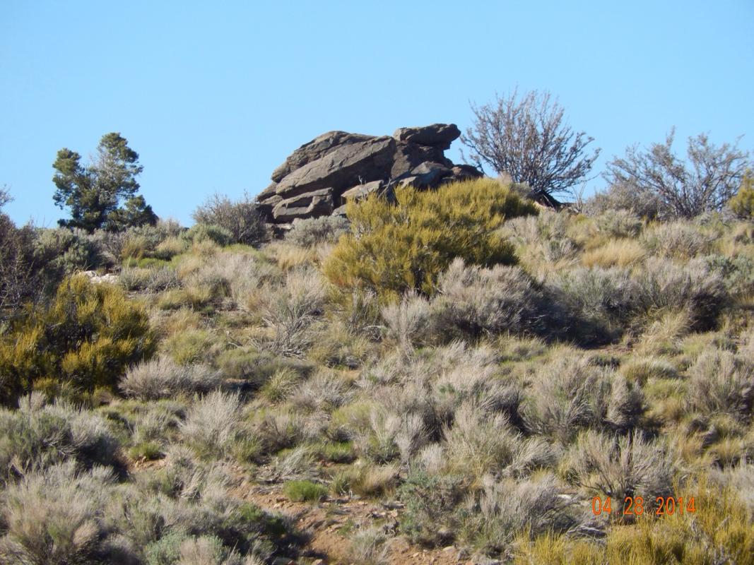
Tim writing now - why is this? - because it's my body that has now caused us to terminate this hike. At the Cajon Pass, in the hotel after 30 hours, dehydration snuck up on me, and Gerri had to call an ambulance to take me 20 miles to a hospital. After 18 hours and 6 bags of IV fluid, with a UTI, we took a cab back to the hotel and stayed 3 more days. The bigger issue has been my flat feet (and inward turning ankles), and at this point I have gone through two pairs of trailhiker shoes, and am now wearing hiking boots with my orthodics having been mailed to me from Ohio. With 5 days rest on the feet and hopefully better footwear for me, we were hoping for the best. I'd been taking 600 mg Ibuprofen to get through the last half of the hiking days for this whole adventure. We left Cajon Pass back onto the trail on Saturday (10 May) and after 5 miles, feet pain is already bad. We both knew over the last 100 miles of trail that my feet weren't progressing towards healthiness, but we still hoped for the best. So at Mile 357 we ate lunch and concluded that my feet will not be able to carry me another 2300 miles without continued misery, and make the 20 mile days eventually required to complete this trip as a through-hike. Gerri could have continued and built to those 20 mile days to succeed - she won't continue alone. So we are done and left to ponder what could have been. The next of our adventures may be just as crazy, but not as brutal on my feet. As for Gerri's PCT dream, not sure anything could replace it. Thanks for following us.
|
Cajon Pass - Interstate 15, CA (Zero Day) Not much to say today since we spent the entire day in the hotel room watching movies. This was a true zero day versus the other days we took off in towns. When we are in towns we needed to be out, walking around, and checking out the town...not really relaxing. Here, since we are at an exit off the interstate there is nothing to walk around and see. So...a true zero before a big climb of 20 miles over the next 2 days. Bring it on! 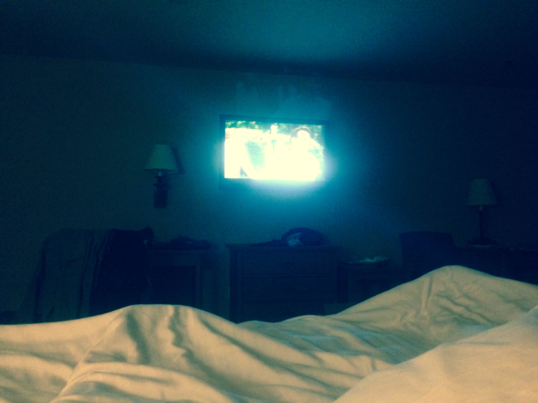
Chamise Boat-in Picnic Area to Cajon Pass - Interstate 15, CA Our first night of cowboy camping was interesting. I woke up feeling like ants and spiders were crawling all over me (which they weren't), but all I had to do is look up at the sky and realize that it was pretty cool to be sleeping under the stars. Plus, as soon as I woke in the morning, I got to see this: 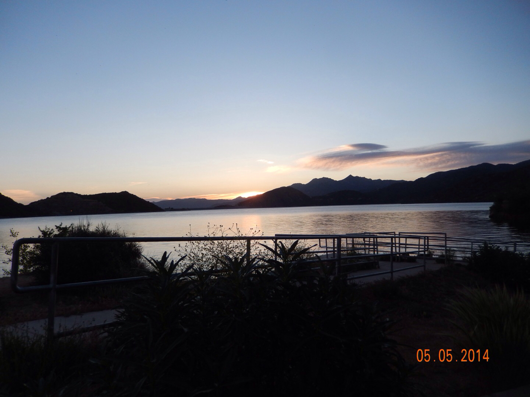
Sunrise over Silverwood Lake.
Here are pictures of this boat-in picnic area that we stayed at last night: 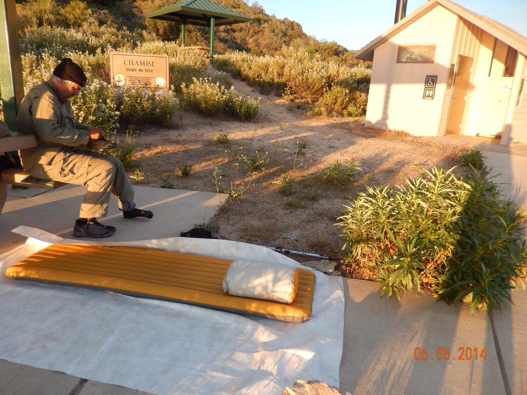
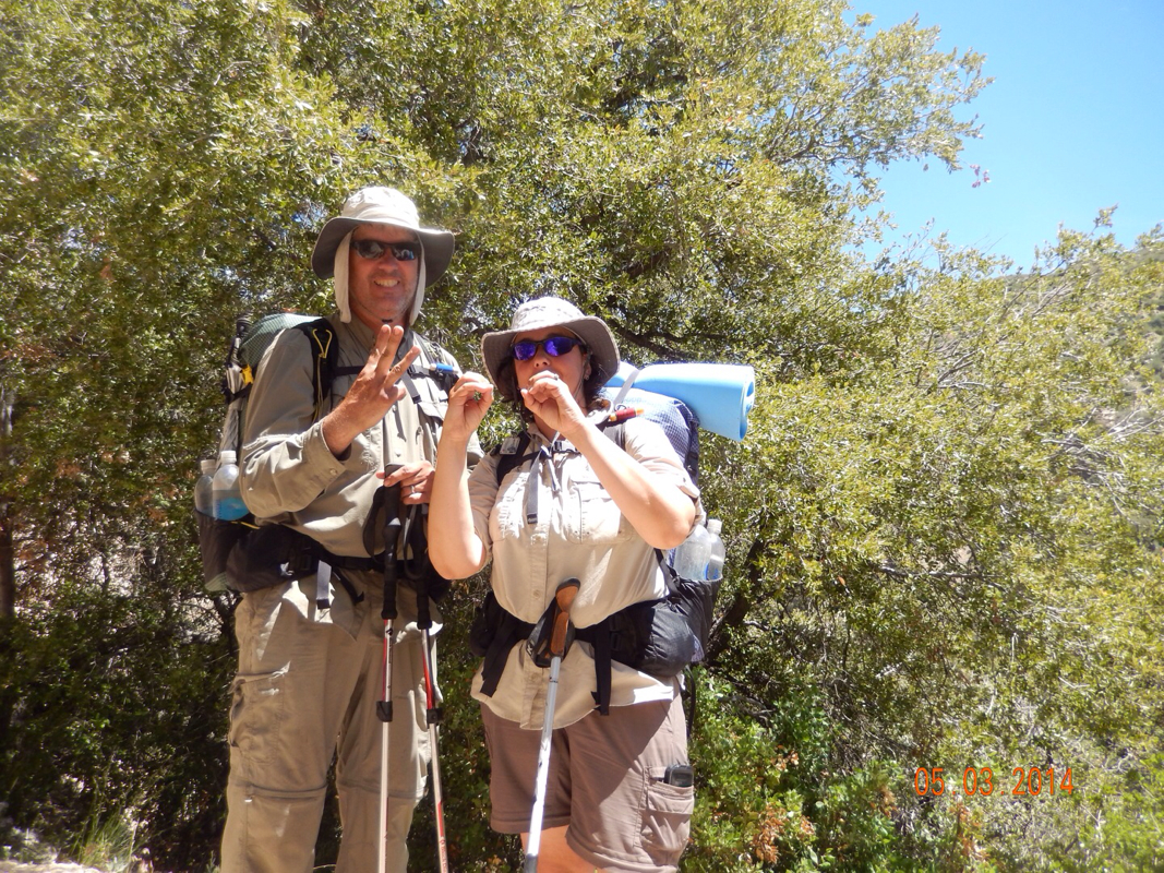
Tim getting ready for the day.
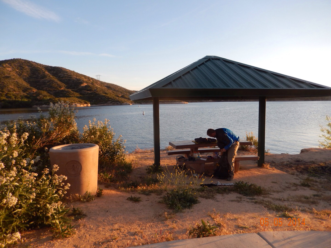
Double Tap packing up.
View of picnic area from the trail.
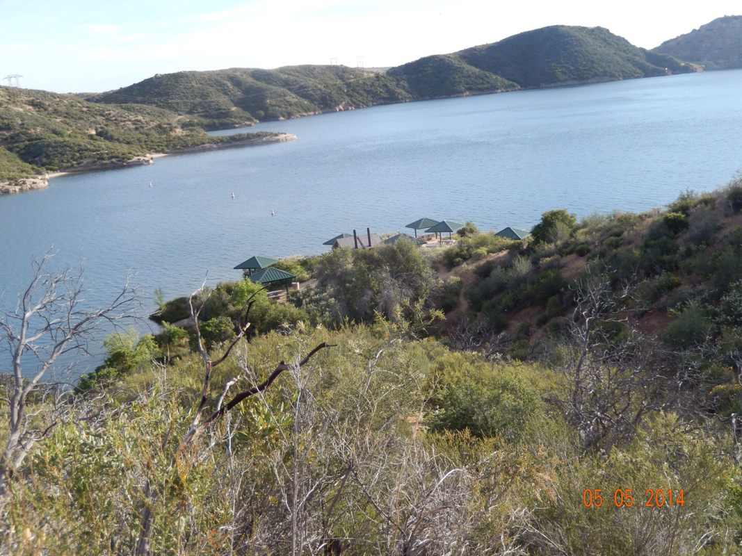
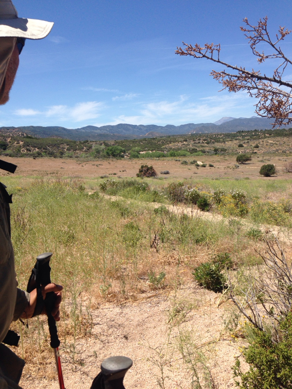
Packing up was a lot easier since we didn't have to take down the tent. We made it on the trail by 7:30. Now only 15.6 miles stood between us and a hotel room. For a few miles in the morning we had a great view of Silverwood Lake. 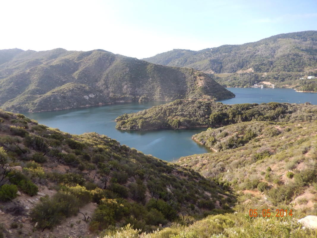

Then we came across this sign that indicated that Interstate 15, where the hotel is, is under 14 miles away. 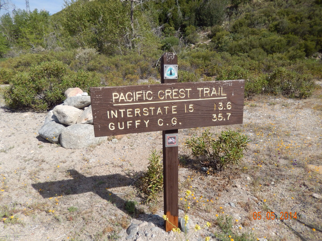
So onward we walked. After almost 6 miles Silverwood Lake was far behind. 
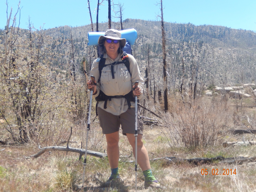
Oh yeah...we almost forgot to take our daily picture. It was quite windy out there today. 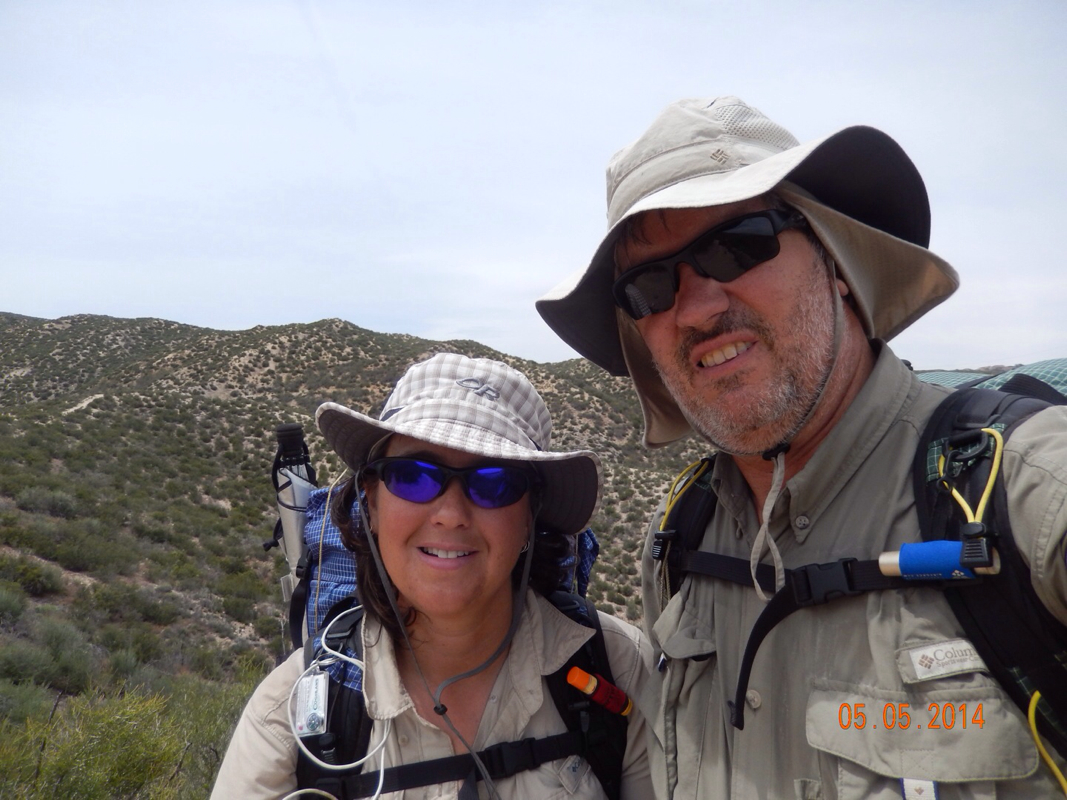
The trail today was similar to yesterday. Here are some of the highlights: 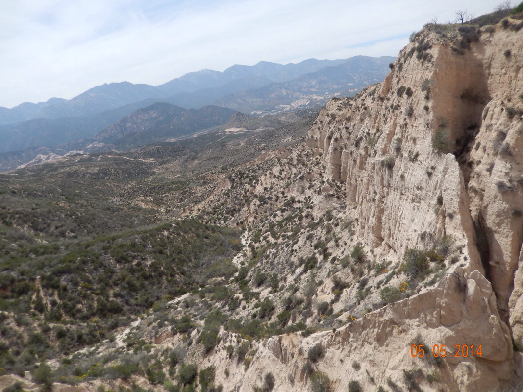
Nifty sand formations.
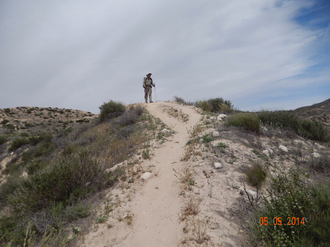
Walking a crest.
The last 3.5 miles were down.
We finally made it down to Cajon Pass and this sign slapped us in our faces. 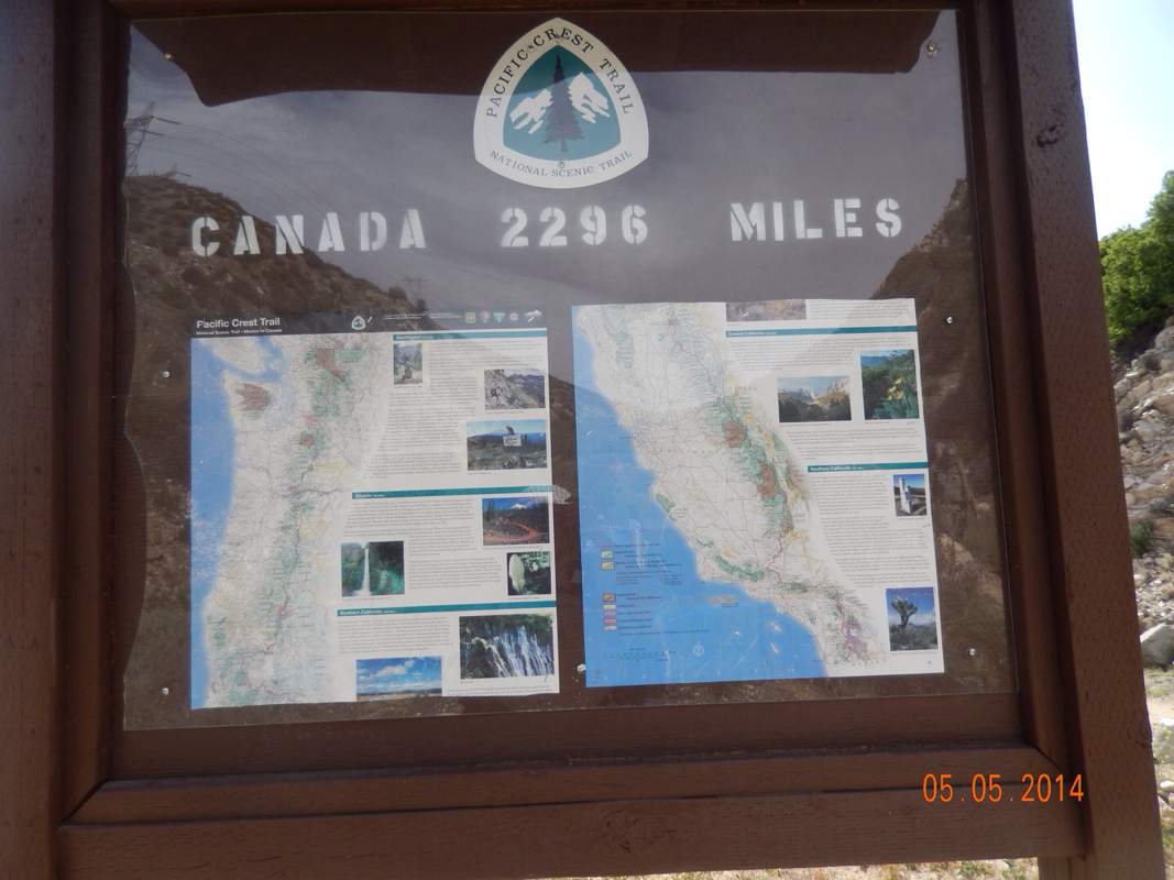
That's still a lot of miles!
The good news...the other side of the sign was this: 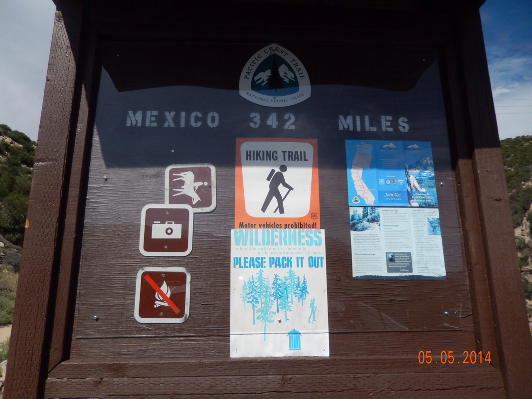
342 miles hiked!!
0.8 miles later we were checking into the Best Western and decided to stay for two nights and rest our bodies since the next 20 miles is all up hill. Under Rainbow Bridge to Chamise Boat-in Picnic Area, CA 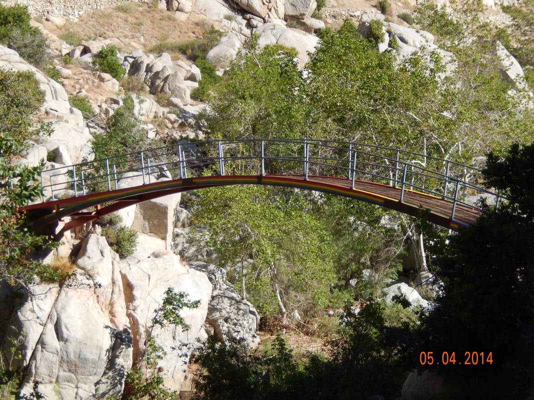
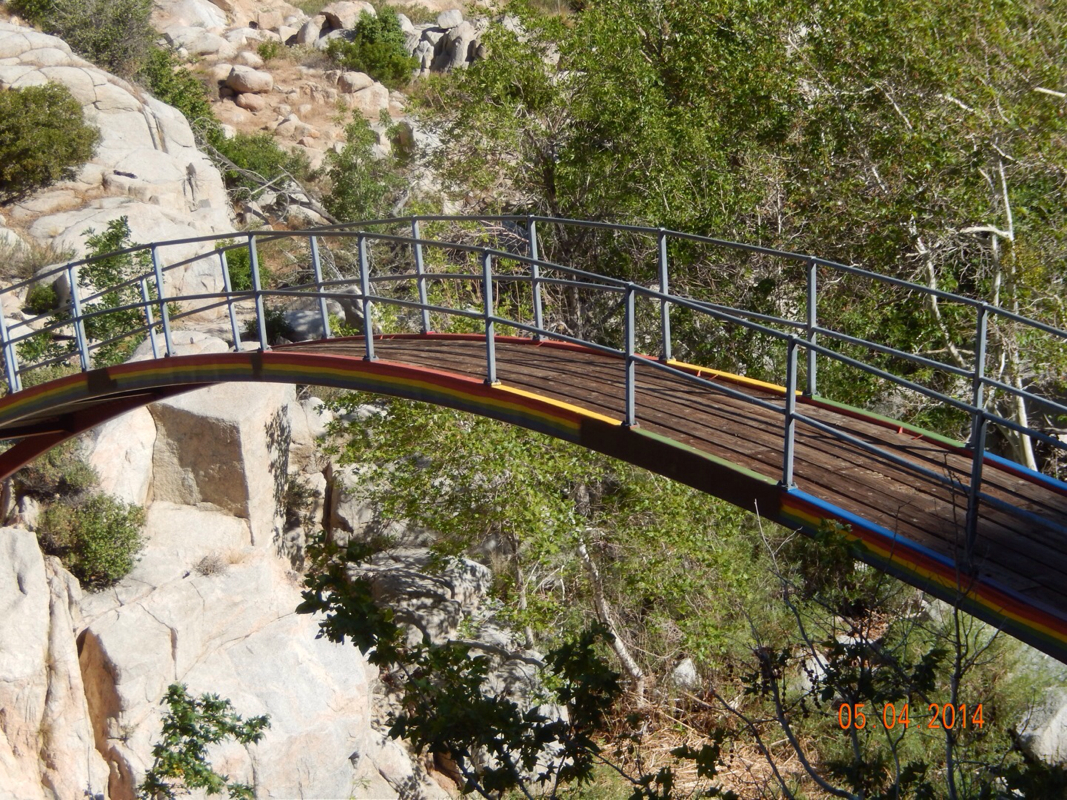
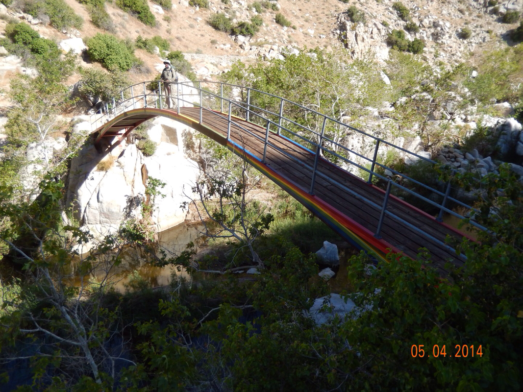
I know, 3 pictures of one bridge seem like a lot, but the bridge is pretty cool. A little bit later we took our morning picture. Today we weren't as excited since there was no hot springs to stop at, but we are getting closer to a hotel stay in Cajon Pass. 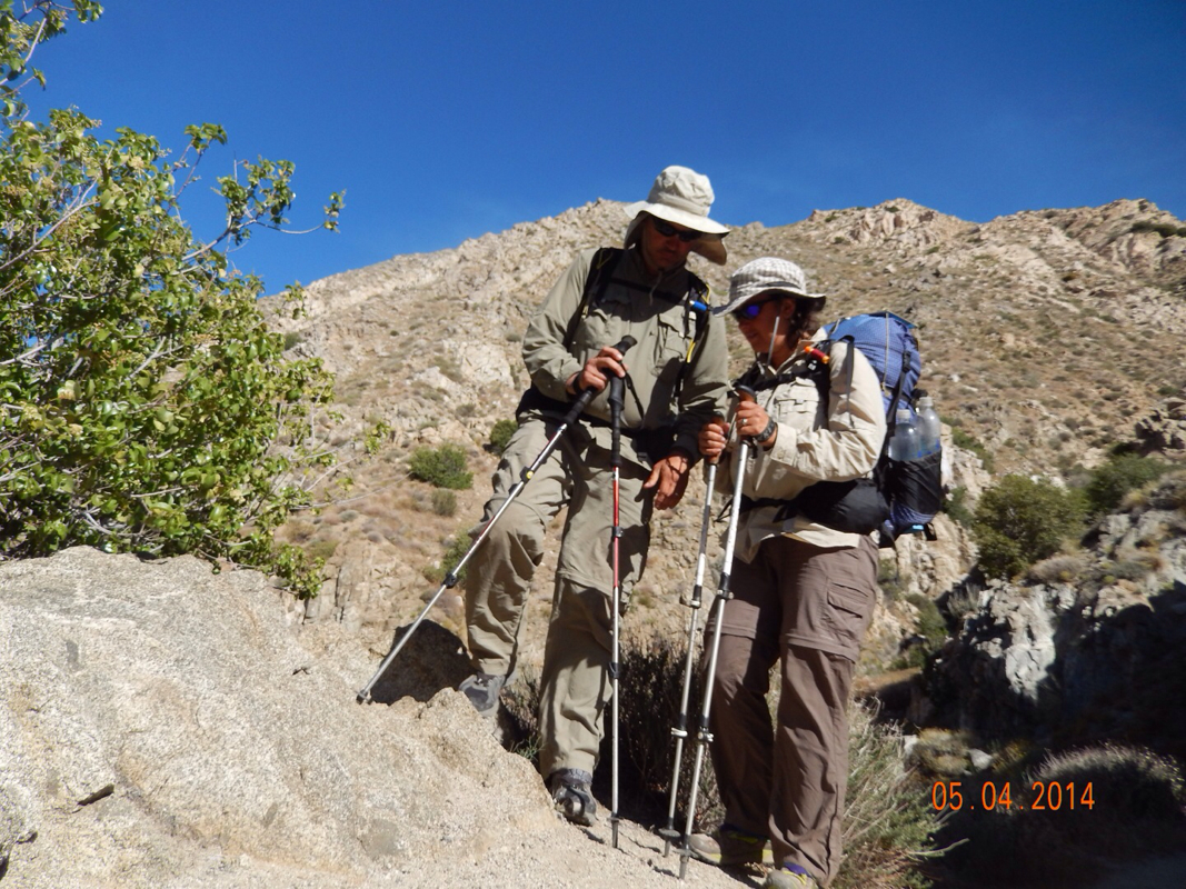
Let's get going.
For the first few miles we had the same view as most of yesterday, Deep Creek way down below. 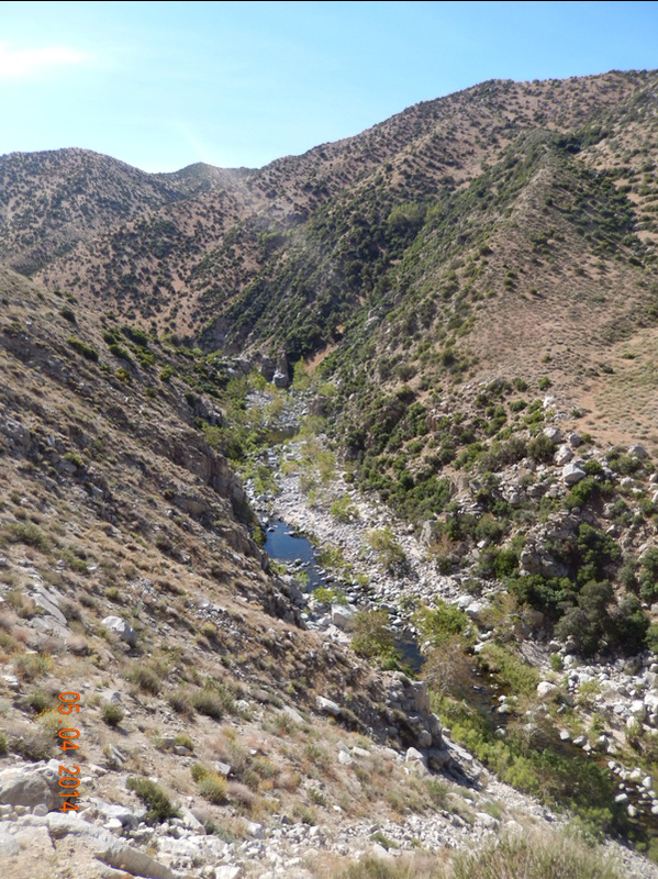
And then we came around a bend and saw Mojave Dam. 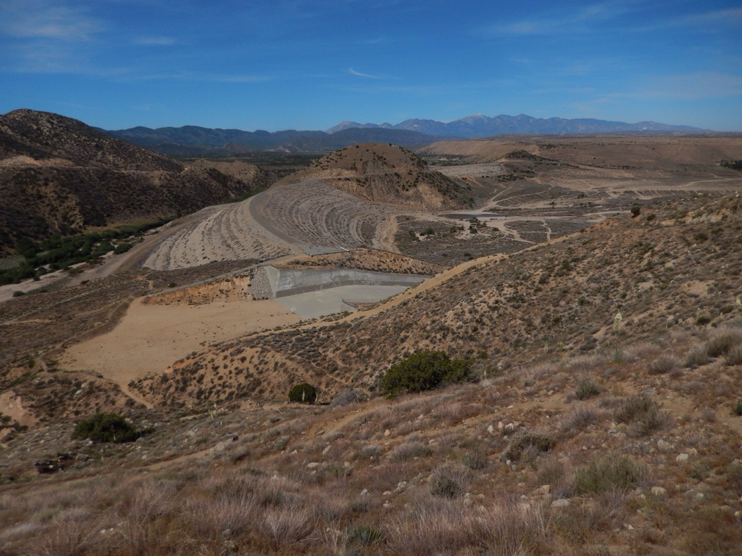
Quite the dam.
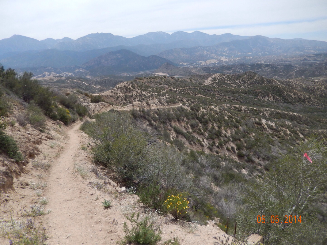
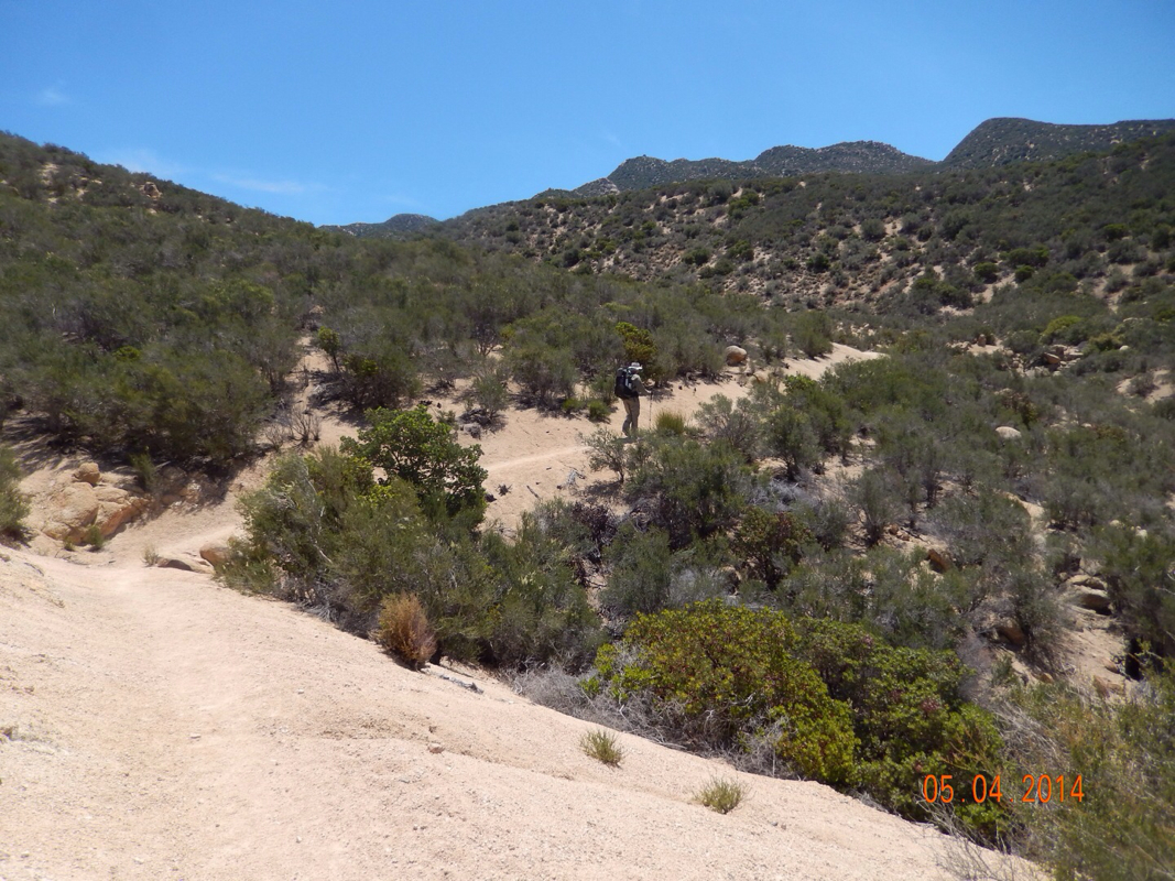
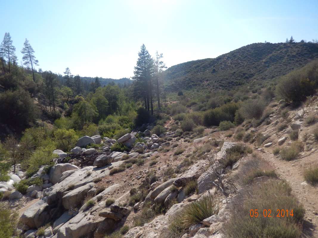
We walked way down there and across to the mountains on the right and then had a fun filled day of walking up and down and around mountains. Here is what our trail looked like throughout the day: 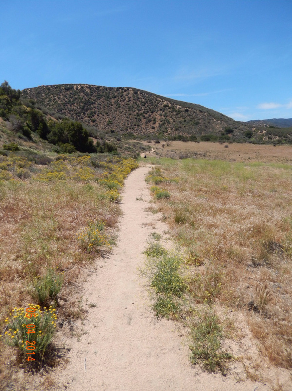
Oh, I forgot, we did walk a little thorough a valley and came across some trial magic. 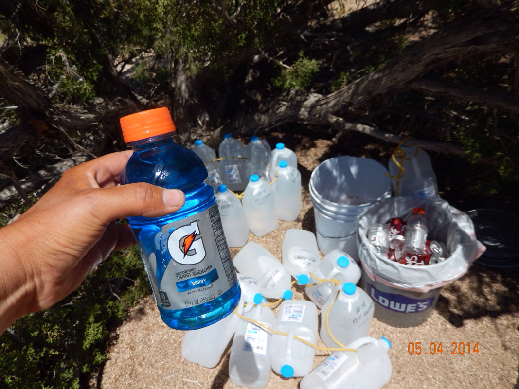
Gatorade never tasted so good.
Looking at mountains across the valley that we might be headed towards.
We finally got to a spot that we considered staying at for the night. This is where we met Double Tap. He was thinking about staying here too. Then, we looked behind us and saw 2 coyotes....and we were off. 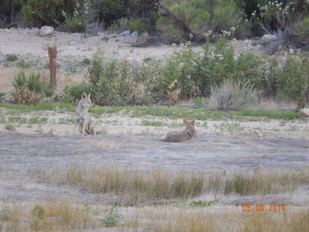
Thanks, but no thanks.
One of my trail guides mentioned a boat-in picnic area so we made that our new goal for the night. It was just under 3 miles and it was already 6 pm, so at our speed we should get there by 7:30...just before sunset. Double Tap agreed to join us, so off we went. In about a mile we came across a cooler with some more trail magic for the day. It was stocked with nectarines, strawberries, Cadbury cream eggs, hard boiled eggs, and water. It may be one of the best caches yet. 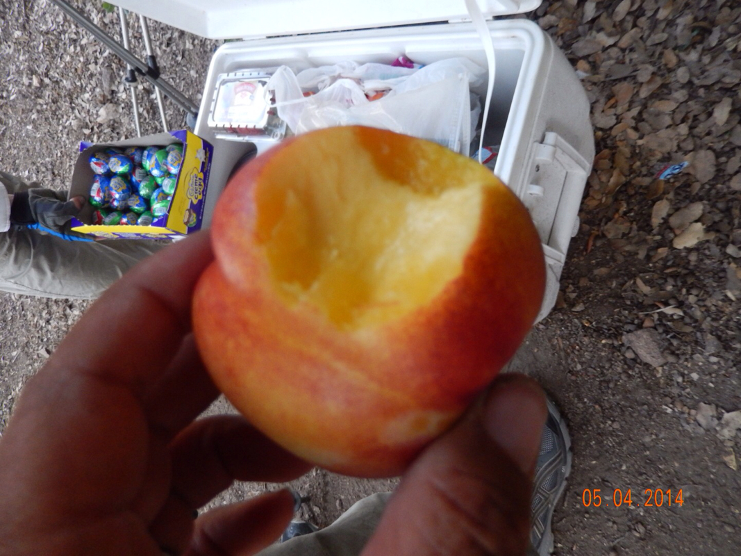
Trail magic!
About 1 mile later we came across Silverwood Lake, where our campsite should be. 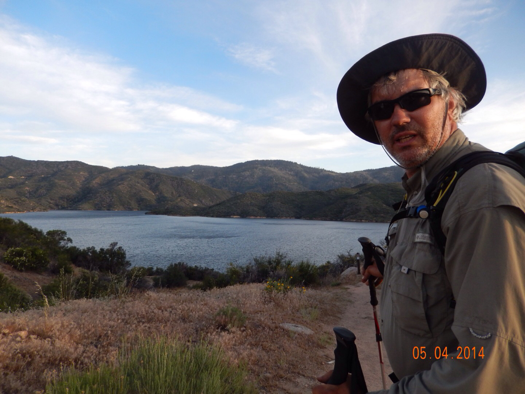
Silverwood Lake.
Finally, 2 miles later we found the place. It was getting dark, so I didn't get any pictures...but tomorrow there will be some. I did get a picture of our camping site: 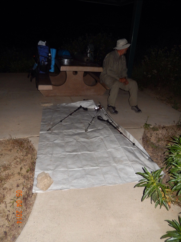
That's right. We are going to sleep on the ground, next to a picnic table, without our tent. They call this Cowboy Camping. By the way, we did not want to do this. We tried to pitch the tent, but the dirt is like concrete and we couldn't drive the stakes. I'll let you know how it goes. Bench Camp to Under Rainbow Bridge, CA Today I awoke with some excitement because of three things. One, the guys that we shared a campsite with did not make noise allowing us to have a great night sleep. Two, as you can see by the miles hiked today, we hit a another milestone. Three, which is the best, you will just have to read on and see. We packed up and were on the trail before 8:30 am today...we keep getting a bit faster in the morning. Goal one again was to make it to the first water which today was 3.76 miles away. We left feeling good, mostly because of what was coming up today. We climbed up from our campsite and was welcomed by this view: 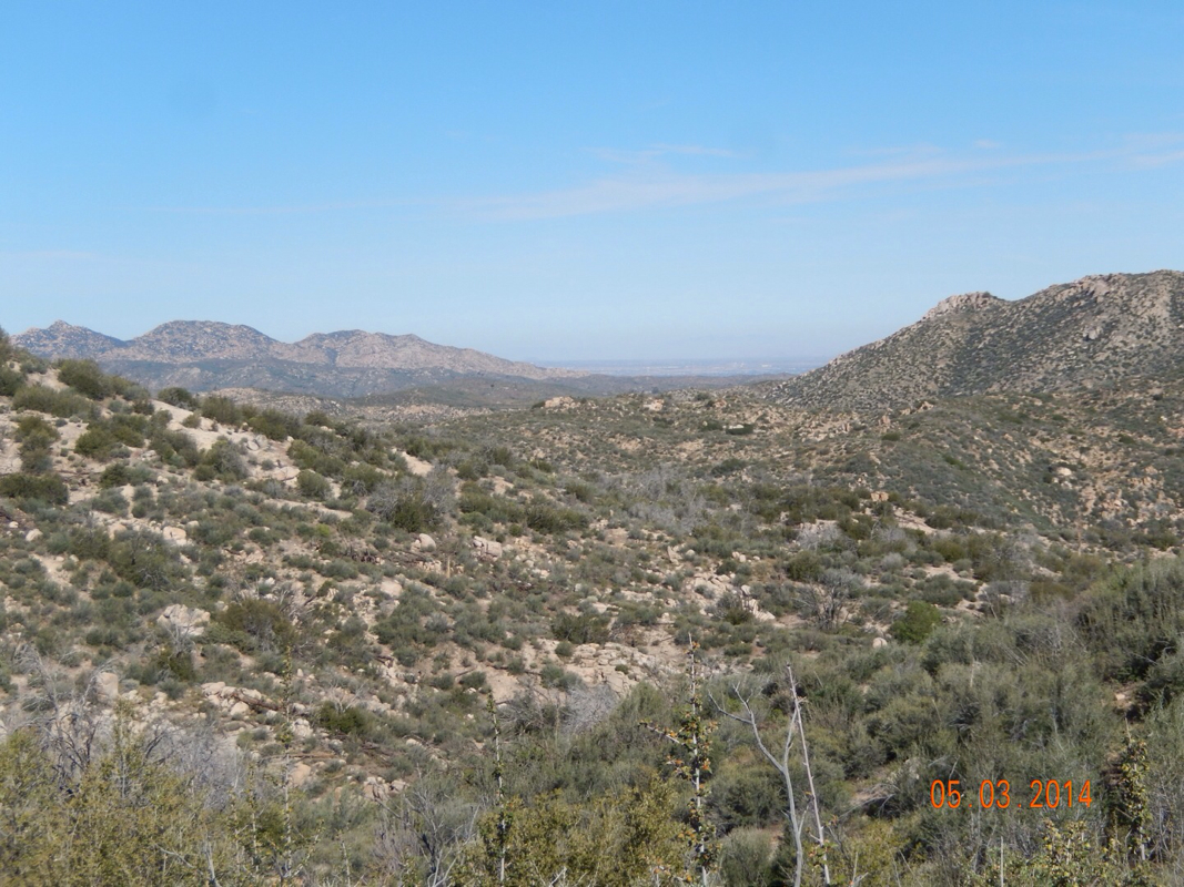
Great view to start the day.
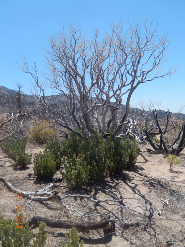
Then we re-entered the burn area which has it own weird beauty: 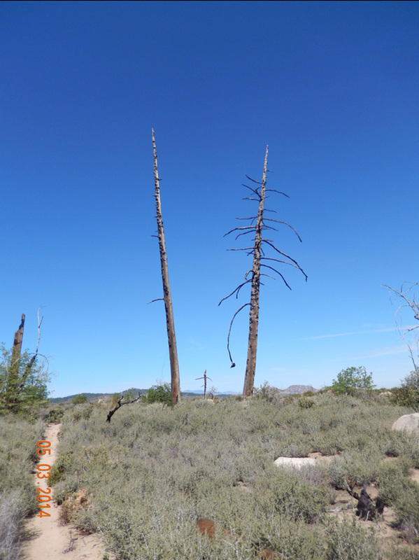
We finally made it to the Deep Creek where we filtered 6 liters of water and took a bit of a break: 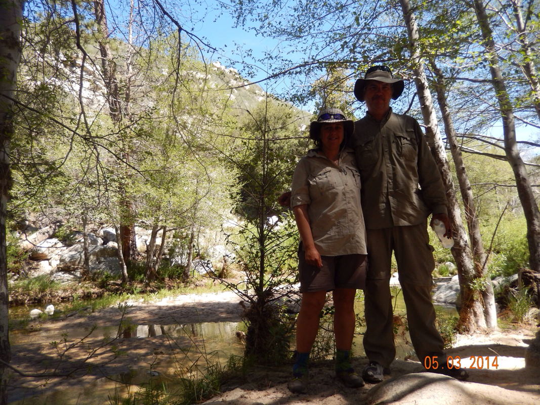
After the break we climbed back up to the trail and crossed this pretty impressive bridge (bridge 1 of 2 today). 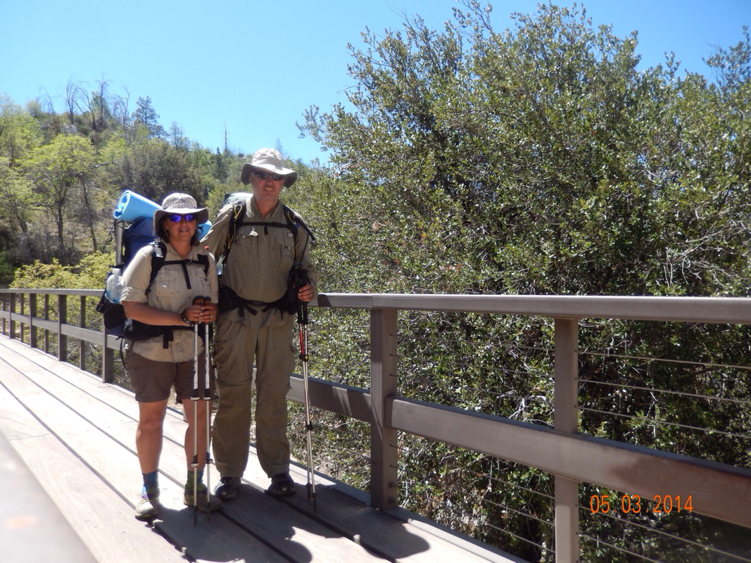
First of 2 bridge crossings today.
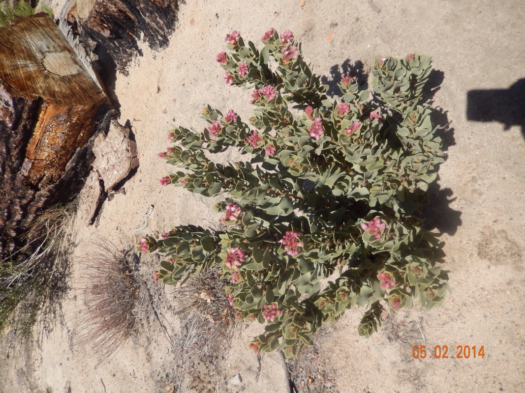
After the bridge, we climbed up above Deep Creek where we pretty much stayed the rest of the day. The trail climbed a lot, the temperature was pretty warm, and the trail was quite exposed with little shade and really no where to take a break. We did come across these cool flowers that reminded us of something out of Dr. Seuss. 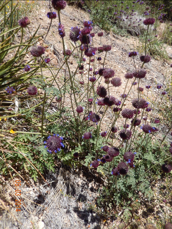
Dr. Seuss-like flowers.
And then, just around noon we made it to 300 miles!! 
Proof we are standing at mile 300.
300 in stone.
Our 300 pose.
After a bit of celebration, we continued up the trail. Here is the view we pretty much had most of the day. It was a bit frustrating when we were hot and the water we were drinking was getting hot and there was all that water way down there that we couldn't access. 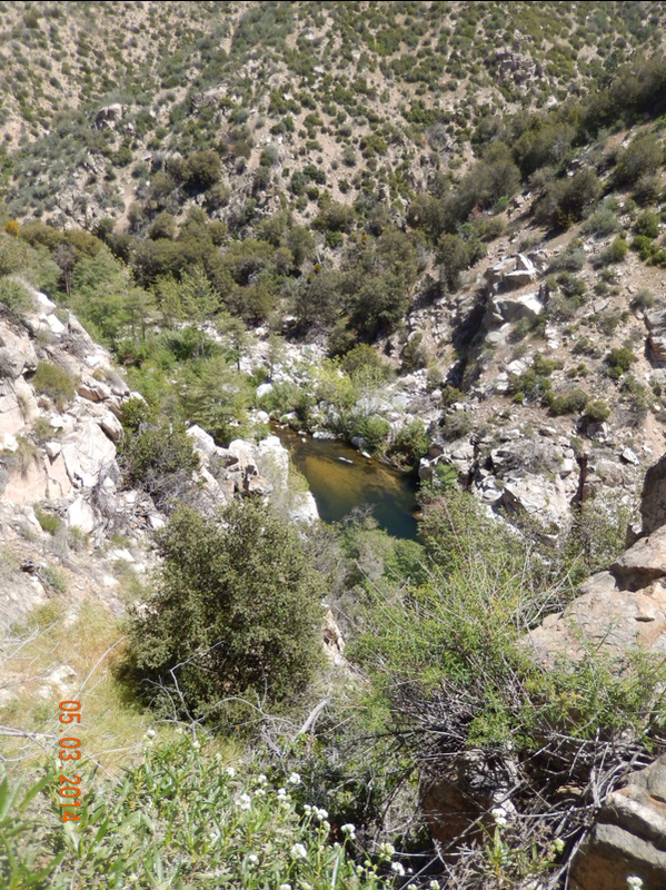
Then we came across bridge number 2. Another engineering marvel. 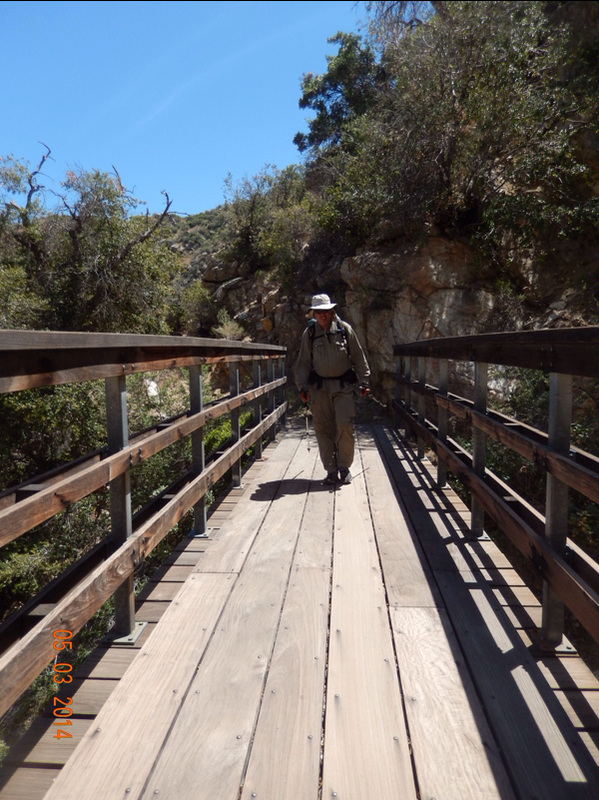
Now it was getting a bit late. We needed to get to mile 307.80 with enough time to hang out and then still hike a couple of more miles to make 15 miles today. So we pushed on for 5 miles with very little breaks. When we were within 1 mile I took this picture hoping we just had to go around the bend. 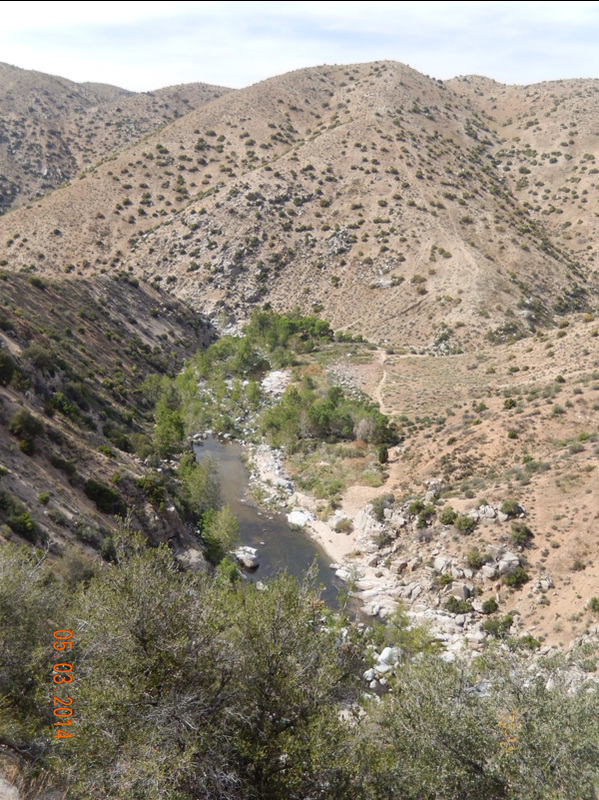
Just around the bend...
What is this great thing just around the bend at mile 307.8? Here it is...the Deep Creek Hot Springs. 
Deep Creek Hot Spring!!
Being a weekend there was a bunch of local people hanging out with a smattering of PCT thru-hikers. Because this place was clothing-optional (BTW...we chose the clothing option)l, I didn't want to take any picture there, but it was so nice. There were multiple pools of different temperatures. I went from hot and the jumped into the cold creek and it felt great. We hung out there for 1.5 hours and even then I didn't want to leave...although Tim had enough. Anyway, it was 6 pm and it was time to go since we had no idea where we would be camping tonight since the map didn't indicate any campsites. We knew from looking at the map that we climbed back up and then in a couple of miles we came back down to the creek...this is where we were hoping to find a place to camp. Oh...here is a cool picture of Tim on the trail walking between flowers. How do they grow in that crushed granite? 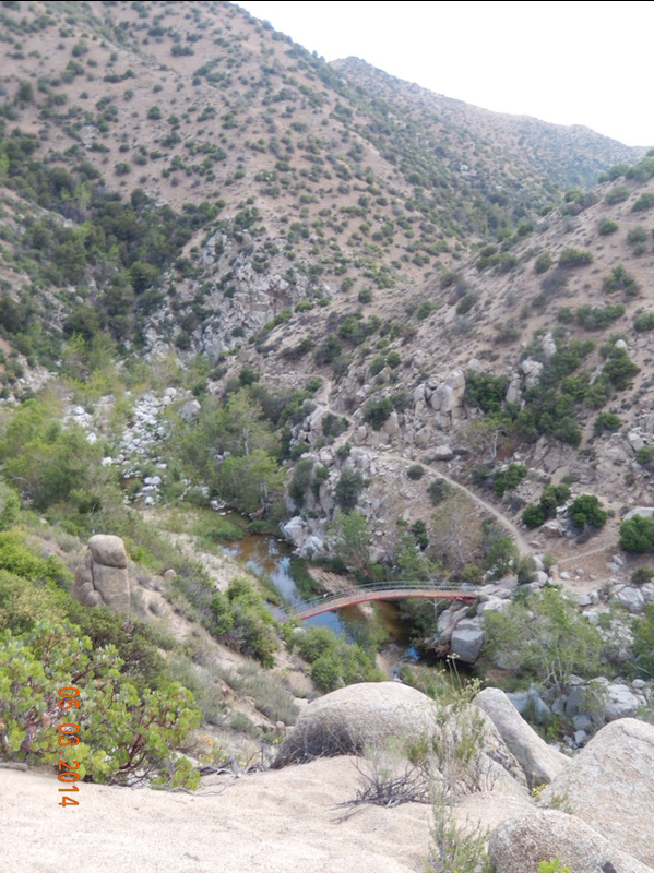
Then we viewed another bridge: 
Bridge 3?
Just before the trail crossed it, we noticed a smaller trail going down below it towards what we were hoping was a place to pitch the tent. That bridge will have to wait till tomorrow. We went down and there were 3 other people camping in the obvious spots. We found a smaller spot and Tim worked his civil engineering magic and was able to level it out well enough for us to pitch the tent. 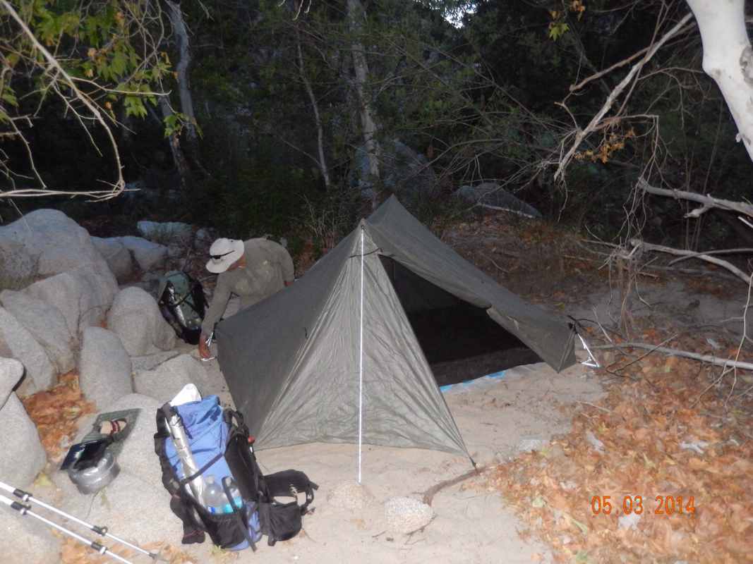
The tent went up, I cooked dinner, and we got in the tent by 8:30 pm...a bit later than usual. Actually, it is now 9:30 pm, about 45 minutes past my bedtime. So goodnight! 1.49 miles North of Holcomb Valley Road (2N09) to Bench Camp, CA Last night was great. The tent site was flat and the temperature was chilly, but not too cold. All in all a perfect night. We woke at 6:30 am and actually made it on the trail by 8:45. This was the first time in a long time that we got on the trail before 9 am...and with the longer miles, we need to get out earlier. 
An earlier start than usual.
The first goal of the day was to make it to a water source 5.5 miles away. We had plenty of water to get there, but with us doing 15 miles we find that we have to break it down into smaller sounding numbers. We started decending pretty soon after starting and wound up in a burned out forest. 
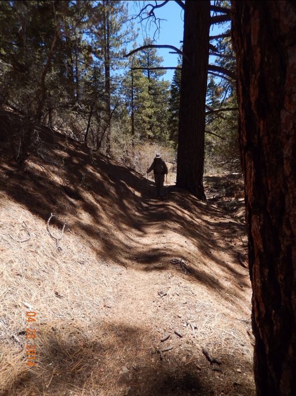
Tim walking the trail.
As we approached the water source, we came upon these wild berries. Neither of us were willing to try them out, but they did look edible to me. 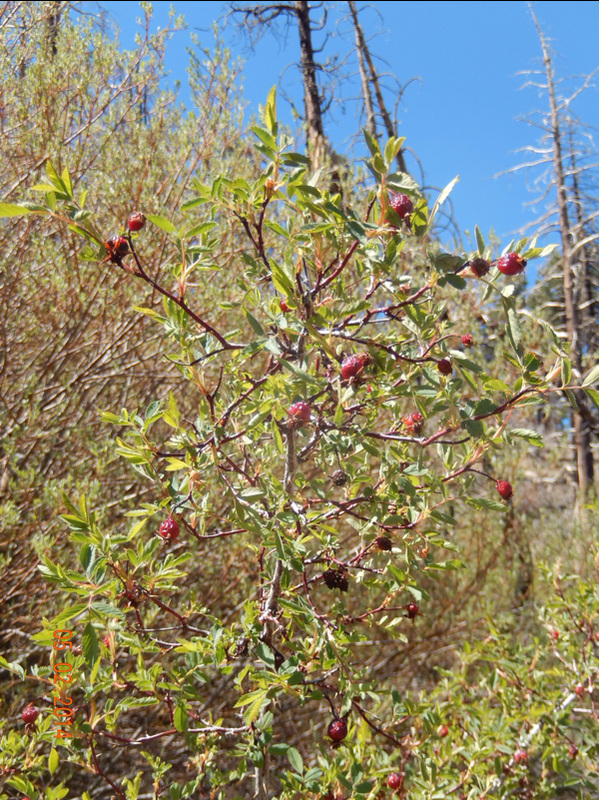
Edible berries? Not worth the chance!
Finally, we made it to Little Bear Springs Trail Camp which sits on Holcomb Creek. The wooden structure is an outhouse. 
Little Bear Springs Trail Camp.
Also at this trail camp was a picnic bench, so we took the opportunity to eat lunch even through it was a bit early. By the way, we covered the first 5.5 miles of the day by 11:15...pretty good. The rest of the day we hiked along Holcomb Creek although we did climb above it for some time. We hiked through very diverse terrain from green forest to burned forest to boulders. 
Bright green foliage along the creek.
Burned area.
Young plants around burned ones.
Boulders.
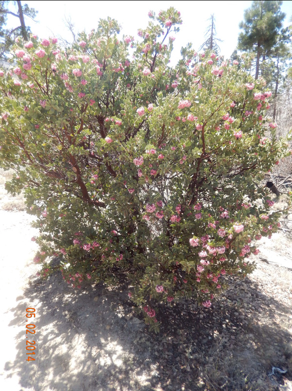
We also came across some new flowers: 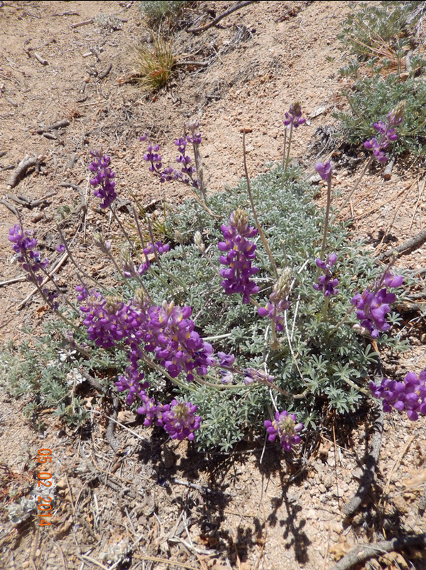
And finally, I was able to catch a butterfly in action. 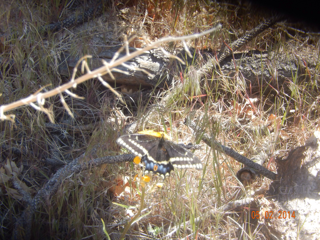
Perfect shot!
We hit 10 miles at 2:00 when we took a 30 minute break instead of our usual calling it a day and setting up camp. The last 4.5 miles (we actually hikes 14.5 miles today) were not too bad. Our destination for the night was Bench Camp. With 0.6 miles to Bench Camp we came across Holcomb Creek Camp which looked pretty nice, but there were 3 tents setup there already, so on we went when we saw this sign: 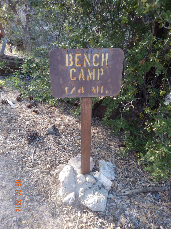
Almost there.
One quarter mile later we made it to Bench Camp to find 3 tents and about 6 guys and a dog staying there. The next campsite wasn't for at least 3.5 miles, so our choice was to stay, or hike back the 0.6 miles to the last campsite. Since backwards didn't sound too good, we decided to just stay here and hope that we are tired enough to sleep through the noise that I'm sure will ensue till at least midnight. Oh well, at least the tent site is flat, and if I listen real hard, I can hear the creek down below our tent. 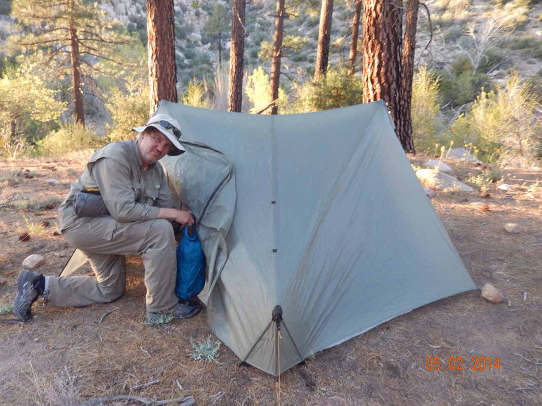
Big Bear Lake to 1.49 miles North of Holcomb Valley Road (2N09), CA I set the alarm last night to wake us at 5:30 am so we would have time to go to the Grizzly Manor for their famous pancakes. Needless to say, the alarm went off, but I wasn't going to get up. Plus, I was still full from the pizza we ate at 9 pm last night. The plan today is to catch the ride from the hostel back to the trail at 8:30 am and then hike 15 miles. Well...we did catch the ride, but we didn't quite make the 15 miles, but there was a good reason. Anyway, we started the hike feeling good after 1 1/2 days of rest. 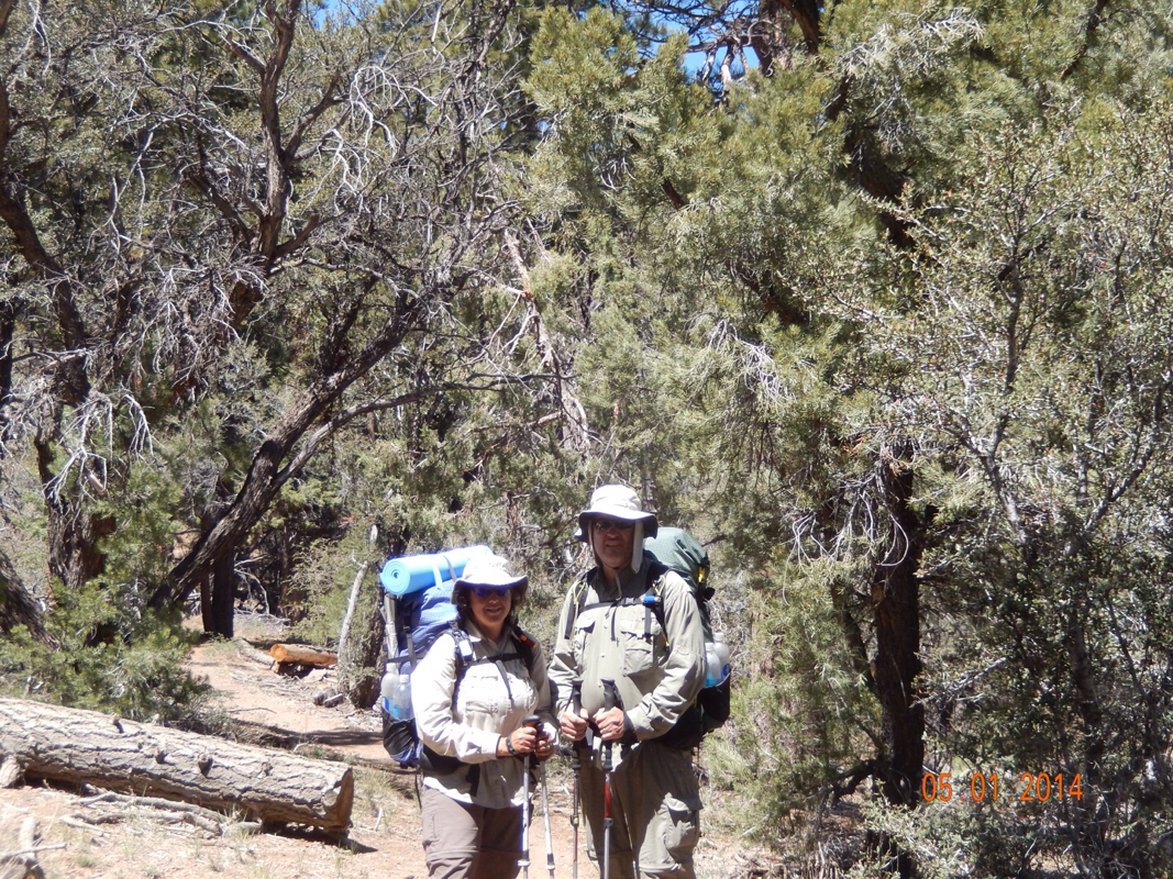
Feeling good.
However, we were a little apprehensive on this new mileage goal. We set off hiking and went over 5 miles before taking a break because we didn't know if we would be able to get all these miles in if we took all the breaks we were taking on the 10 mile days. I did, however, manage to get some nifty pictures: 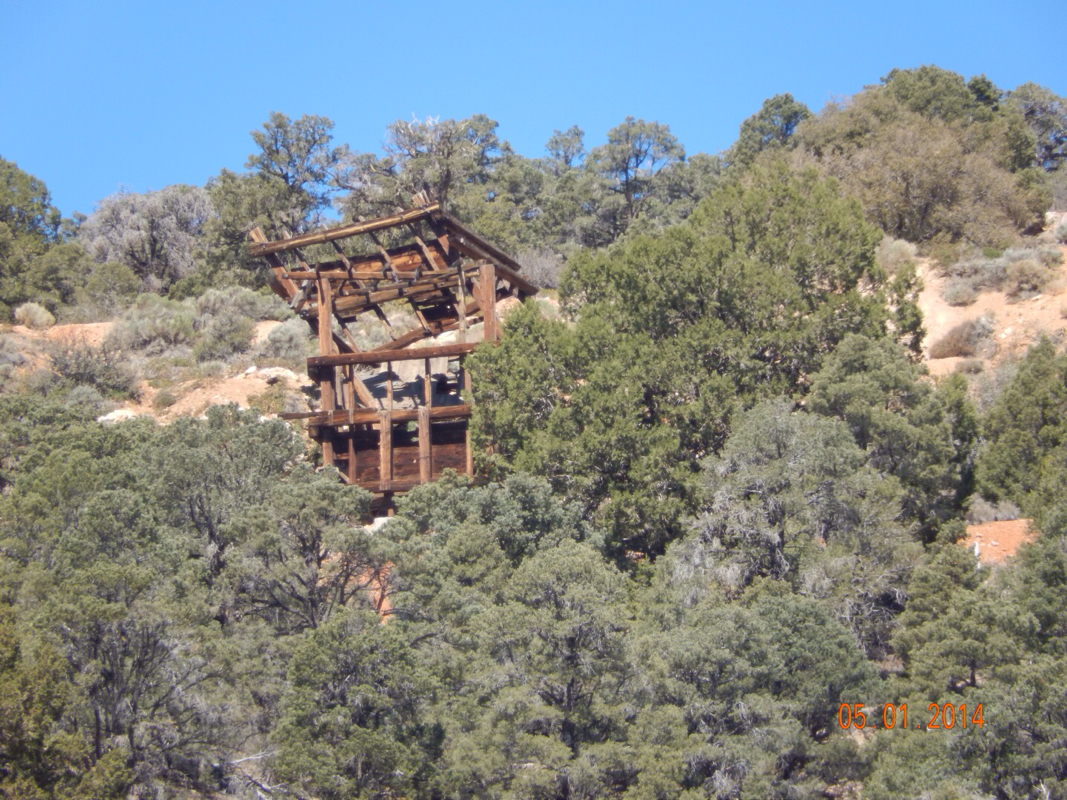
Old gold mine on the side of the mountain.
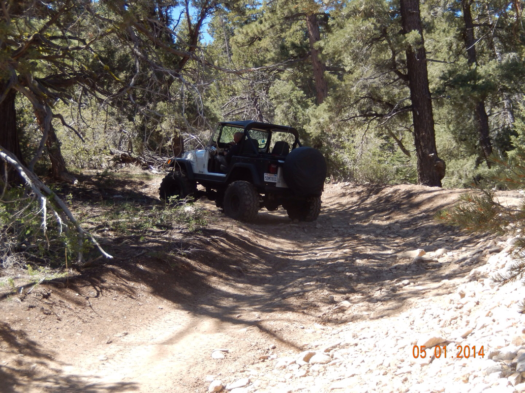
Jeeps going by on a jeep road that crosses the PCT.
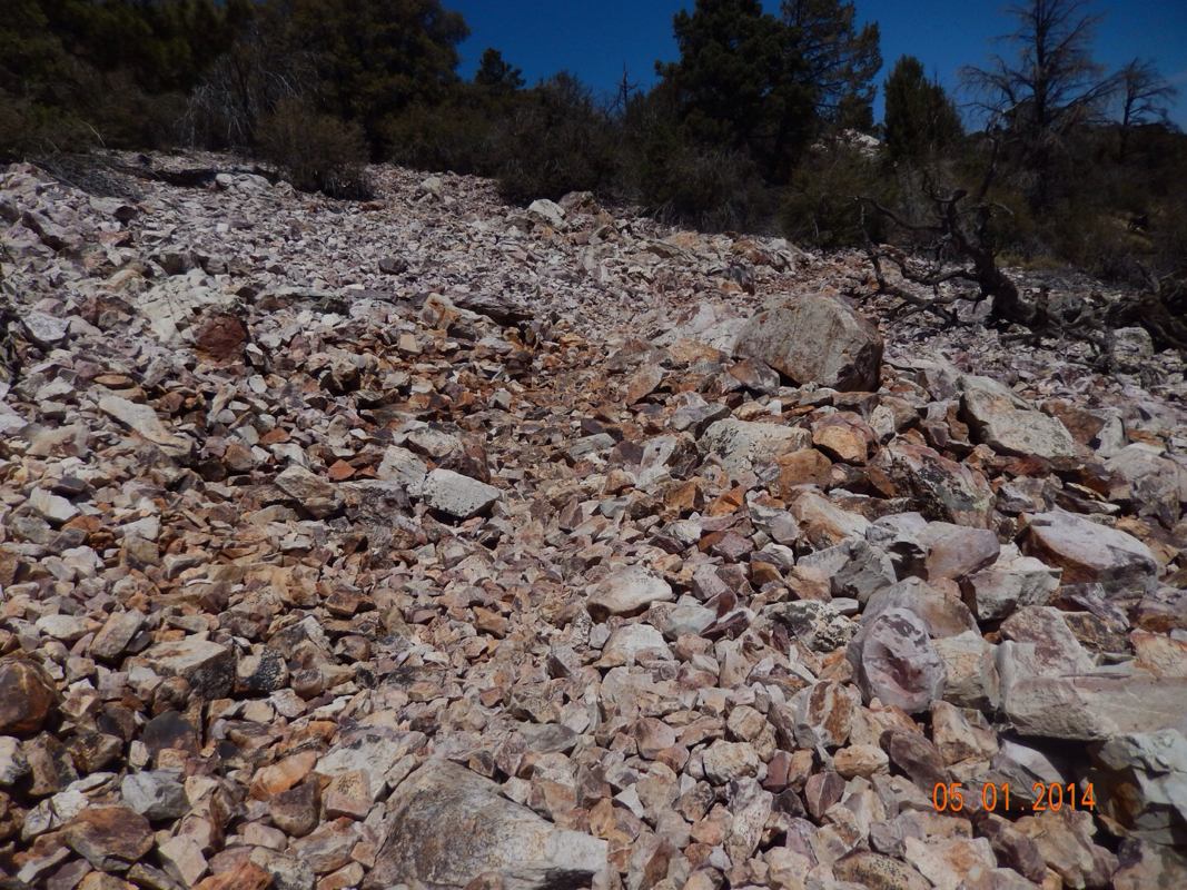
Very rocky trail. Luckily it didn't last.
Then, after 11 miles of hiking we went around a bend and saw the view of Big Bear Lake, where we just stayed. It was kind of crazy to see where we left after hiking 11 miles. It kind of makes us feel like we aren't getting anywhere. 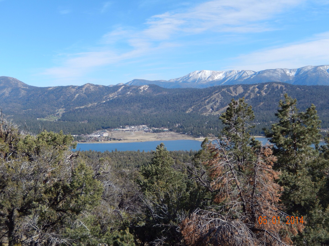
The Big Bear Hostel is right there!
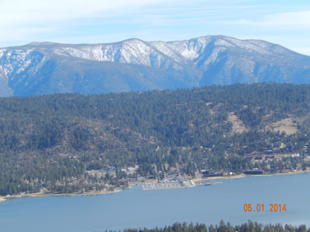
Zoomed in.
The reason we should be able to get 15 miles in now is that this next 5 day stretch has only 614 feet per day average climbing. This is compared to 2 or 3 times that much in the past. With less climbing we should be able to average 2 miles per hour. So, in only 7.5 hours we should be able to cover 15 miles. 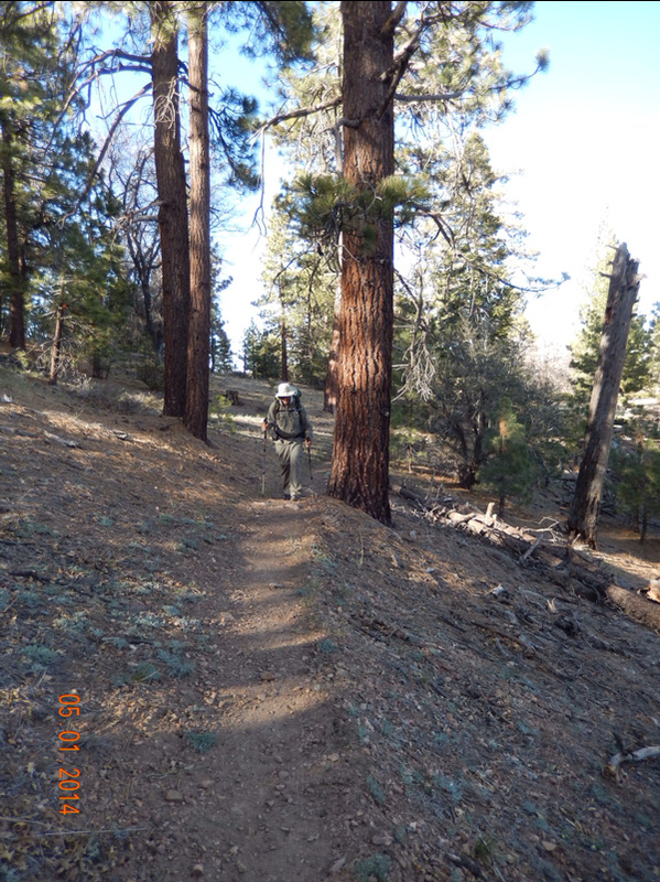
An easy part of the trail.
Today we made it 14 miles although we could have made it to 15. The reason we stopped is that there was no campsite listed until the 19 mile point. Once we hit 13.5 miles we decided to start looking for a place to pitch the tent. At 14 miles we found the perfect spot. We considered going on and hoping to find another one closer to the 15 mile point, but it was coming on to 6 pm and I wasn't feeling like taking the chance of not finding a spot till 7 pm and then having to cook and eat dinner in the dark. So, we stopped. Tomorrow there is a designated campsite right at 14.6 miles, so we will be inching even closer to the 15 mile mark. 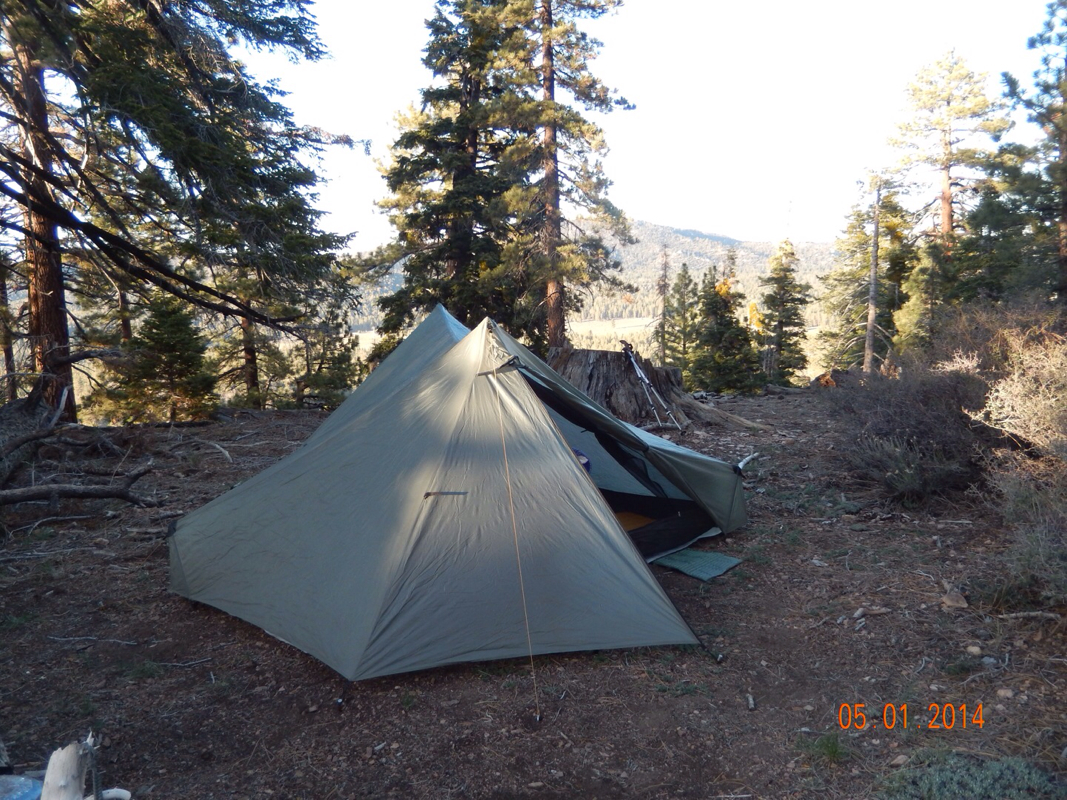
The perfect flat spot.
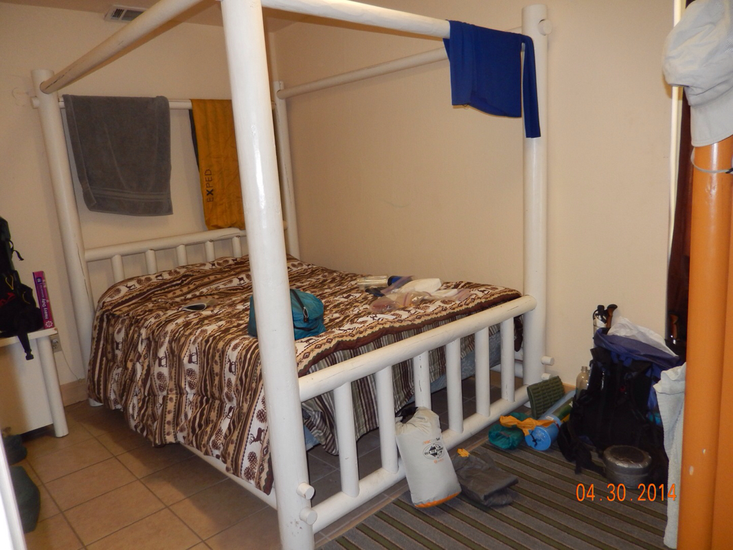
Big Bear Lake, CA (Zero Day) As they say, you get what you pay for. The room here at the hostel is just ok. We had to put safety pins in each corner of the sheet to keep it from slipping off the mattress. The pillows are flat and uncomfortable, so I had to put my jacket under the pillow to make it more comfortable, and the TV doesn't have a remote, so we have to get out of bed and push the buttons on top of it to change the channel. The good part...the shower is awesome and never runs out of hot water. The one thing we looked forward to is going to the Grizzly Manor Cafe for thier famous pancakes. We woke up, showered, and walked 1/2 mile up the hill to the Grizzly only to find out that they were having a pancake fundraiser and don't have thier regular menu. Needless to say I was a bit upset, but we can come back here tomorrow morning. So, we went to the Teddy Bear for breakfast then got on the bus to the supermarket to buy food for the next 6 days. After a bit of a break, it was time for dinner, so we walked towards the local pizza place and noticed some commotion. Believe it or not, it was the grand opening of the Big Bear Brewing Company. So here we are getting a sampler of their 5 beer in tap. Coincidence...I don't think so! We were meant to be here!! 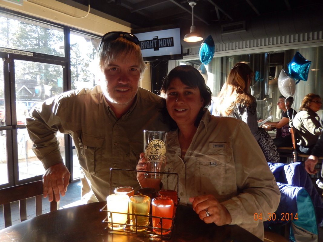
Big Bear Brewing Company grand opening.
We are now in our room catching up on American Idol. We really want to get to the Grizzy before hitting the trail, so we have to wake up around 5:30 am. Oh, did I fail to mention that we need to hike 15 miles per day now instead of 10. We will see how that goes tomorrow. 0.36 miles South of Unpaved Road 2N02 to Highway 18 (Big Bear Lake), CA We woke knowing that we only had 4.5 miles to town and they were supposed to be pretty easy with just 1 small climb. We hit the trail around 9 am hoping to make it to town before noon and knowing that check in was at 4 pm. Tim was particularly excited about hitting town because his shoes were bothering him and we were going to buy a new pair for him. Here is a picture that usually is of both of us, but Tim was hiking ahead making it to new shoes. 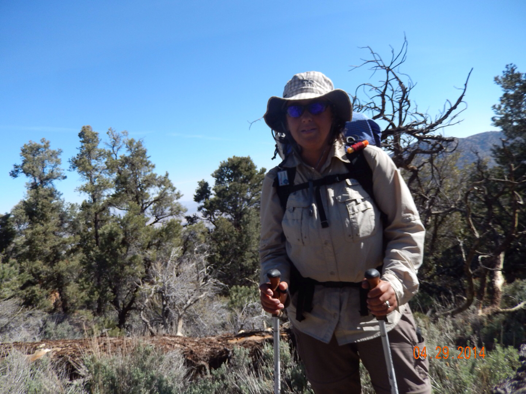
Almost to town.
After a little bit, I was able to catch up to Tim and get our "together" picture for the day. 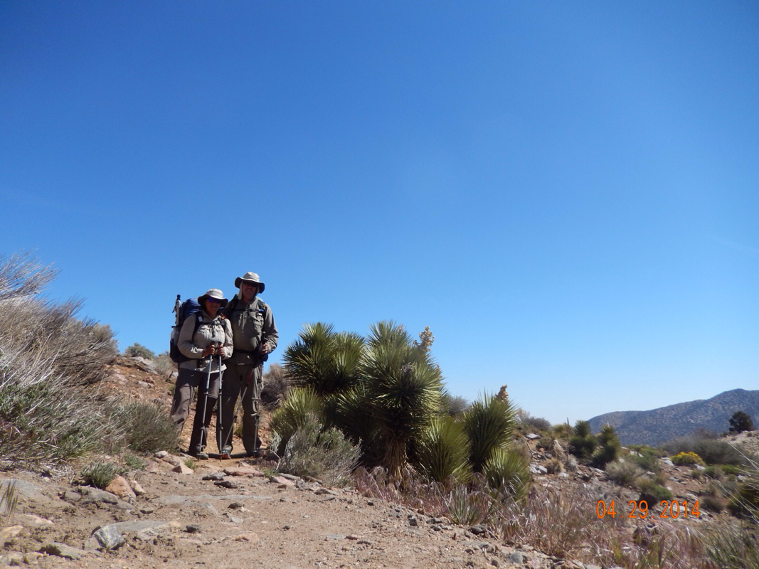
Almost to town.
As promised, the trail was quite easy and we just kept going and going without a break knowing that around the next bend could be Highway 18, the road into town. At this point, one of Tim's biggest issues was how are we going to get to town. It is common practice to hitchhike into town which Tim was nervous about. 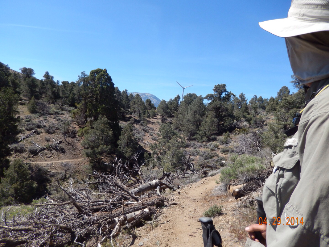
Nervous Timmy.
We finally made it to Highway 18 right when another hiker got a car to stop for him. I waved my hiking pole and they waited for us to get in. Mountain Man, aka Brian Washington, a Mixed Martial Arts (MMA) trainer, picked us up and took us right to the door of our hostel. According to him, most of the top ranked boxers and MMA fighters train here in Big Bear Lake because of the altitude being around 7000 feet...interesting. Anyway, here we are at a $20 per person per night hostel, so for only $80 we are staying here for 2 nights in a private room, with a TV. We are so looking forward to a good nights sleep in a bed. 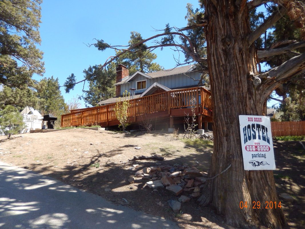
Big Bear Hostel.
What more do we need?
0.23 miles North of Animal Cages to 0.36 miles South of Unpaved Road 2N02 Last night was another cold one, but not quite as cold as the night before. The tent site was flat and really comfortable allowing us to sleep until 7:15 am. By 9:35 we were ready to go for what promises to be one of the easiest days of hiking. 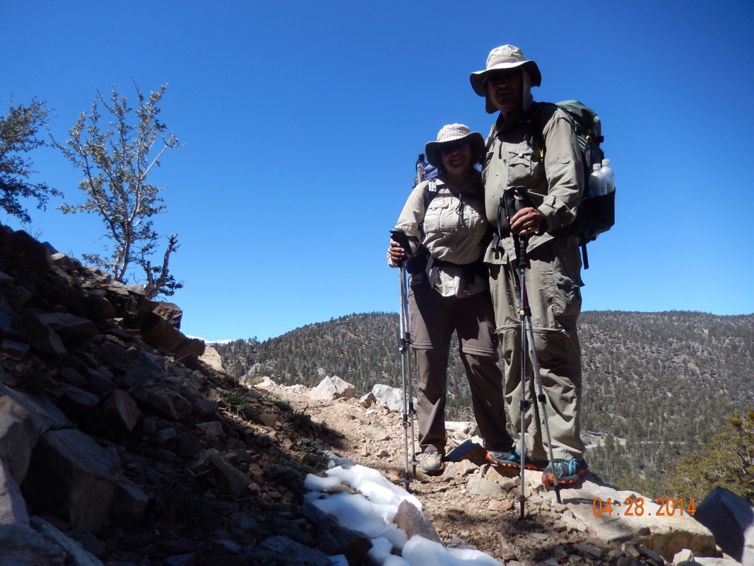
Happy with the thought of an easier day.
At the start of the hike we got one more nice view of Mount San Gregornio...and to get a PCT sign in the picture is bonus. 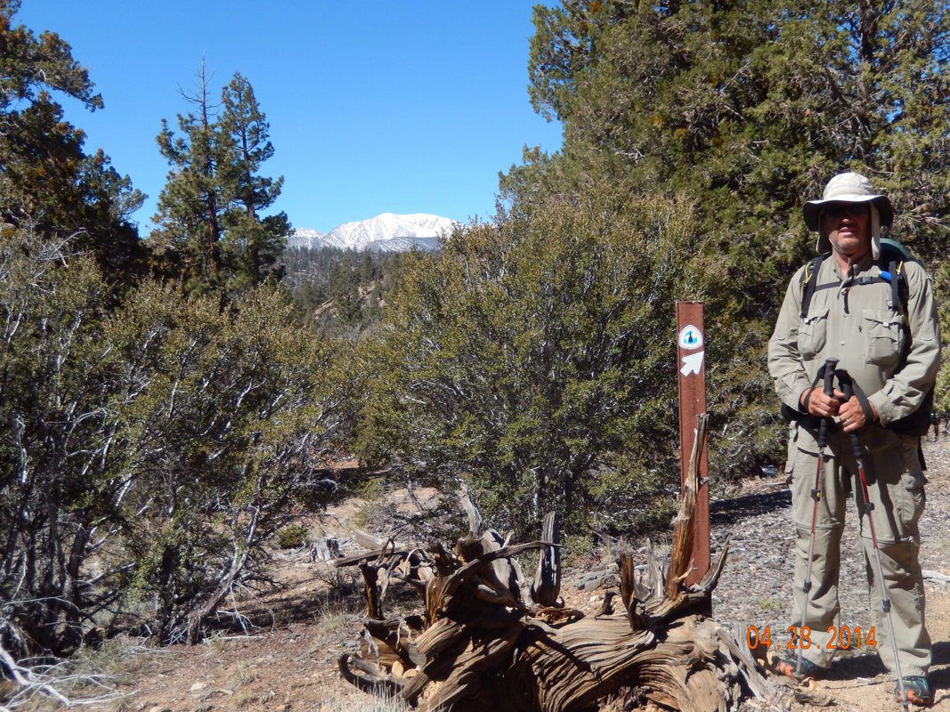
Mount San Gregornio.
After one hour of hiking, we turned a bend and got a glimpse of where we are headed...Big Bear Lake. 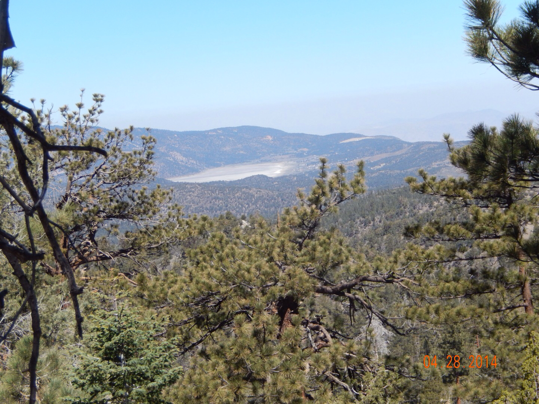
Tomorrow we will be down there.
Soon after the view we came across this PCT magic site. This is by far the best hiker cache yet with sodas, cookies, fresh apples, and my favorite item...tissues (it's the little things these days that make us happy). 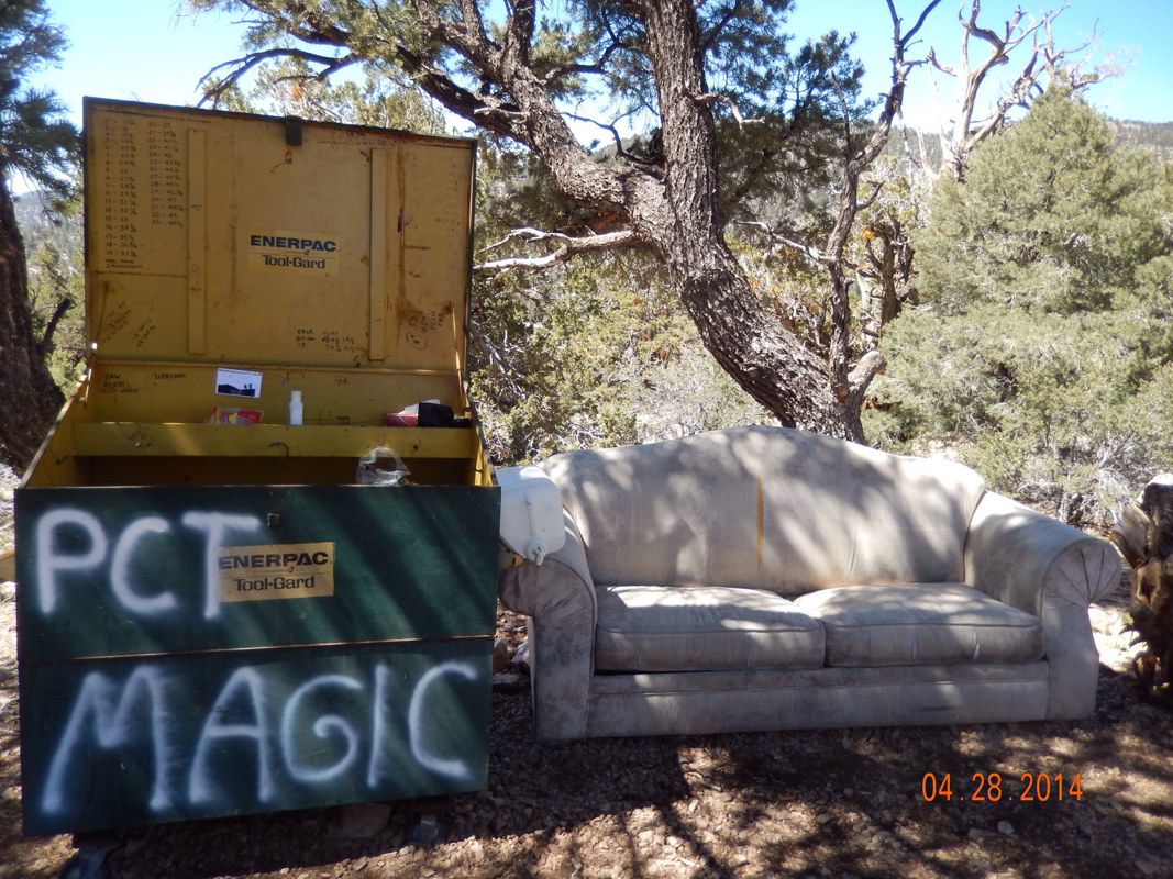
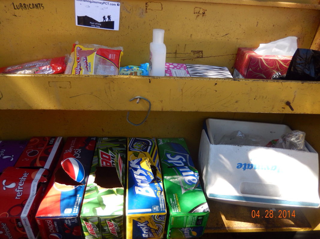
After signing the register we saw that the angel of this cache is the Big Bear Hostel that many PCT hikers stay at. So, one mile later when I had cell service, I got online and made our reservation to stay there two nights starting tomorrow night. Now with the reservation in place, all we had to do is hike there...only 14 miles to go at this point. Today was a day of hiking along beautiful trees. Maybe it was the deep blue sky today, but the trees really seemed to stand out. 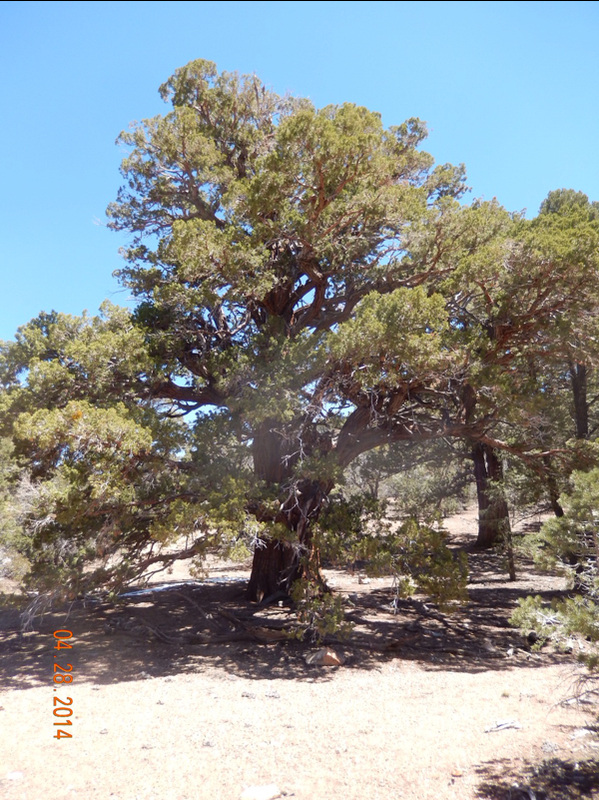
By lunch we has made it almost 6 miles and came across the Arrastre Trail Camp. 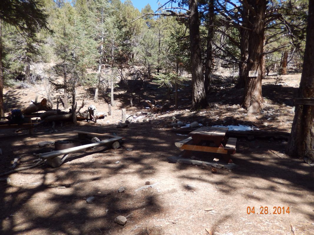
We were so excited by the fact that we could eat on picnic benches that we decided to cook dinner for lunch instead of eating our cold lunch. While there we met a local hiker that retired as a zoologist from the San Diego zoo. He was there when the zoo renovated from cages to natural habitats. He was fascinating. Anyway, I would like to do a shout out to Jordan Daniel for he best placement of a picnic bench EVER! 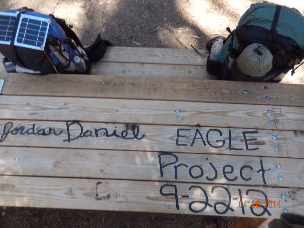
Thanks Jordan!
Another reason we decided to cook at this point is because we knew there was a water source 1/2 mile up the trail. This is a natural spring coming out of the side of the mountain and it tastes so good (after proper filtering of course). 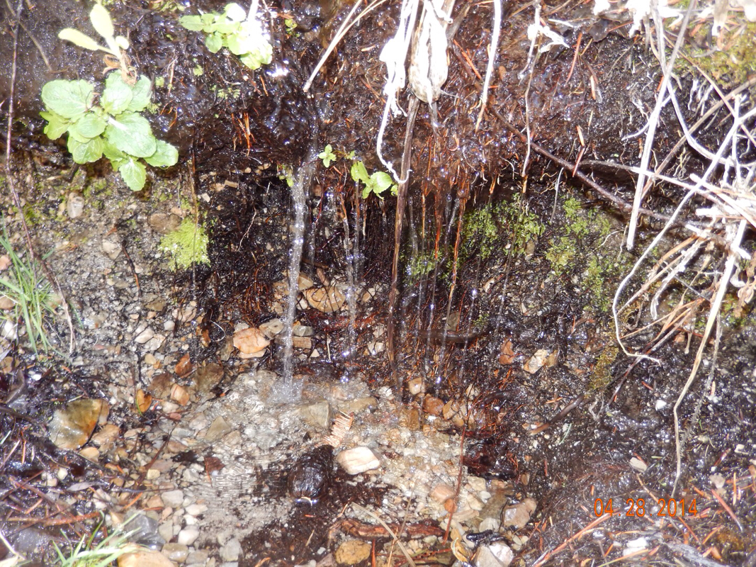
Crisp, clean mountain spring water.
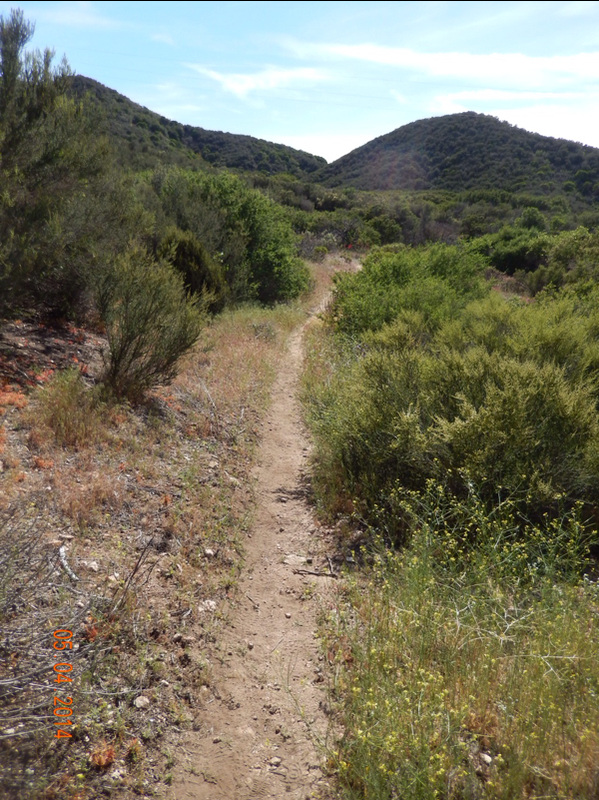
After a little down and a little up and then a little down we left the forest and entered a more desert environment where the trail became even easier than earlier. 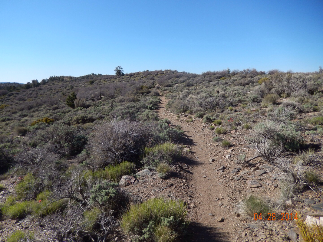
Sweet trail.
Here we had our first sighting of Joshua Trees and a giant desert turtle: 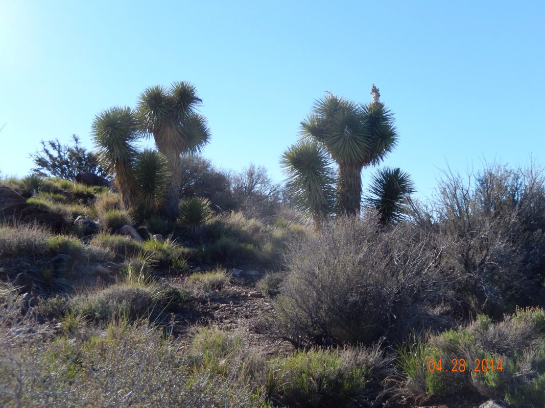
Just 4.5 miles short of our exit to Big Bear Lake we decided to make camp since we came across a flat spot that we just couldn't pass up. Now we should easily make it to town by noon and have all afternoon and all the next day to get our town chores done and relax. 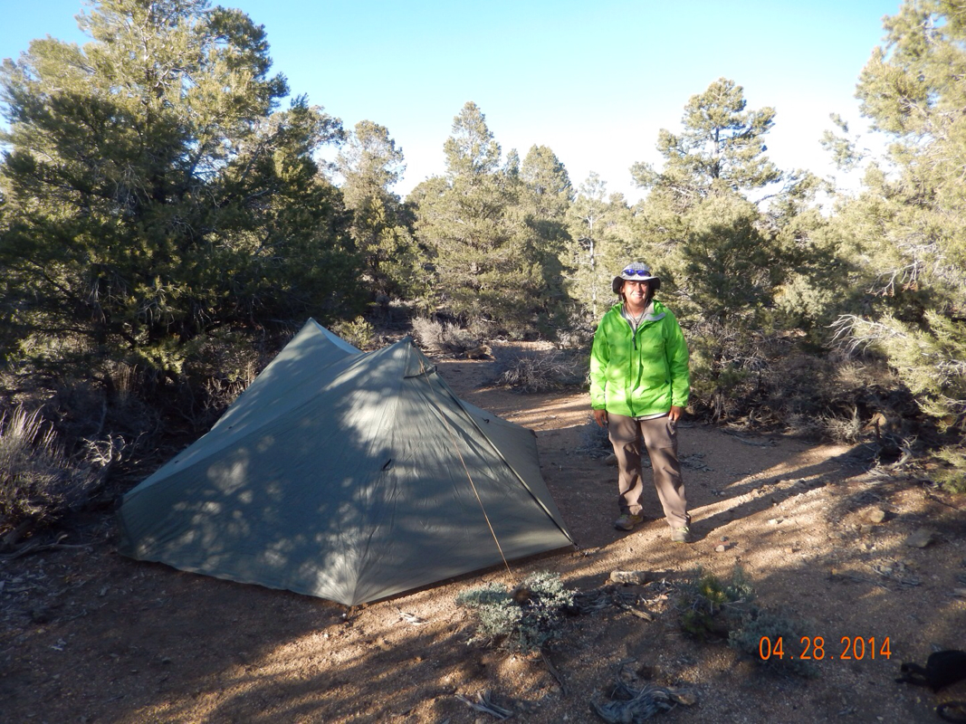
|
 RSS Feed
